“The two girls grew up at the edge of the ocean and knew it was paradise, and better than Eden, which was only a garden.”
— Eve Babitz
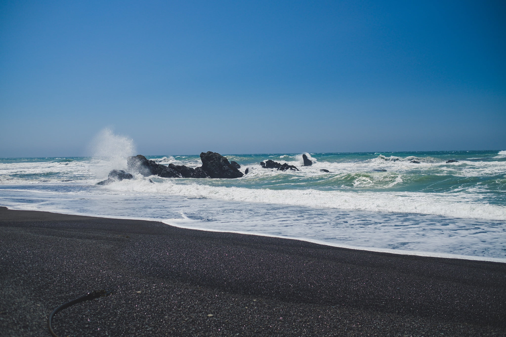
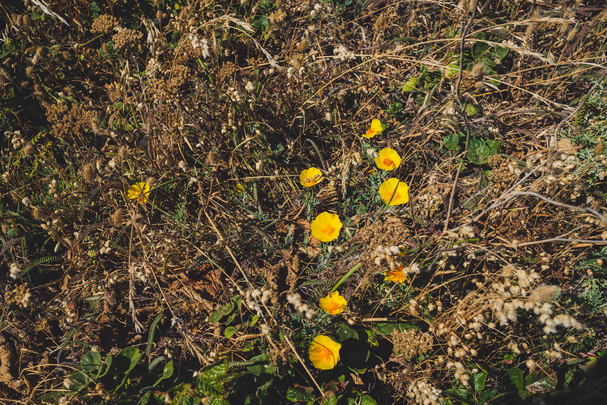
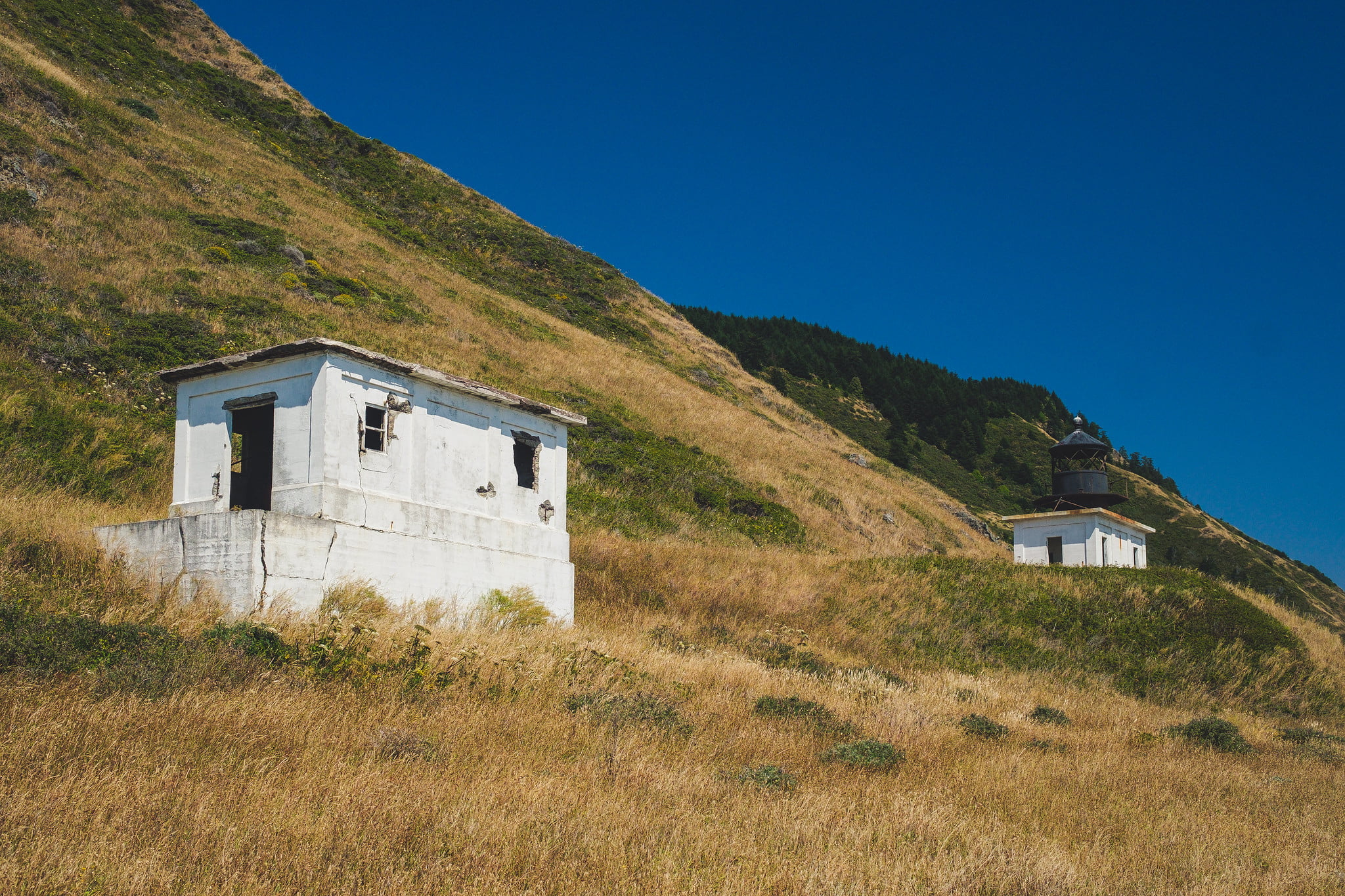
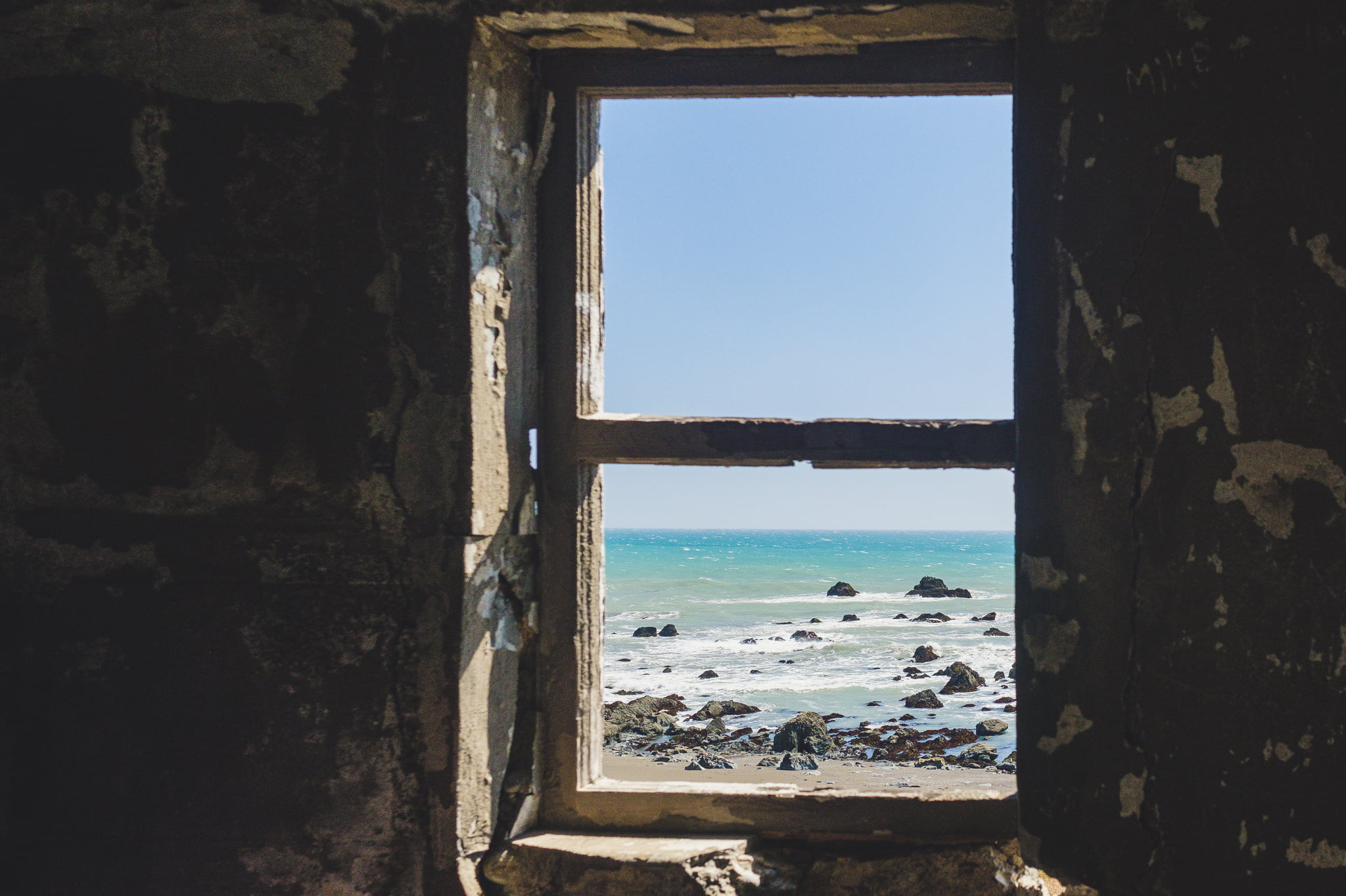
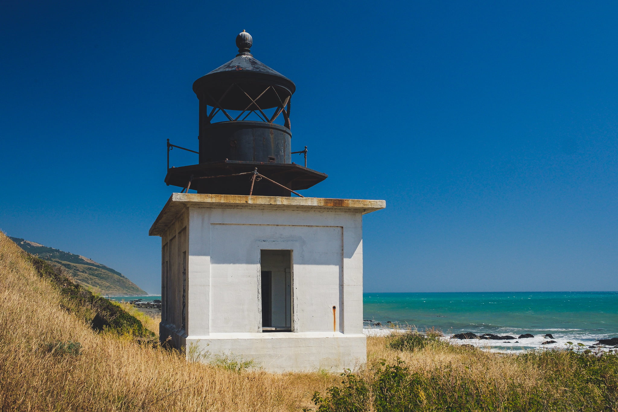
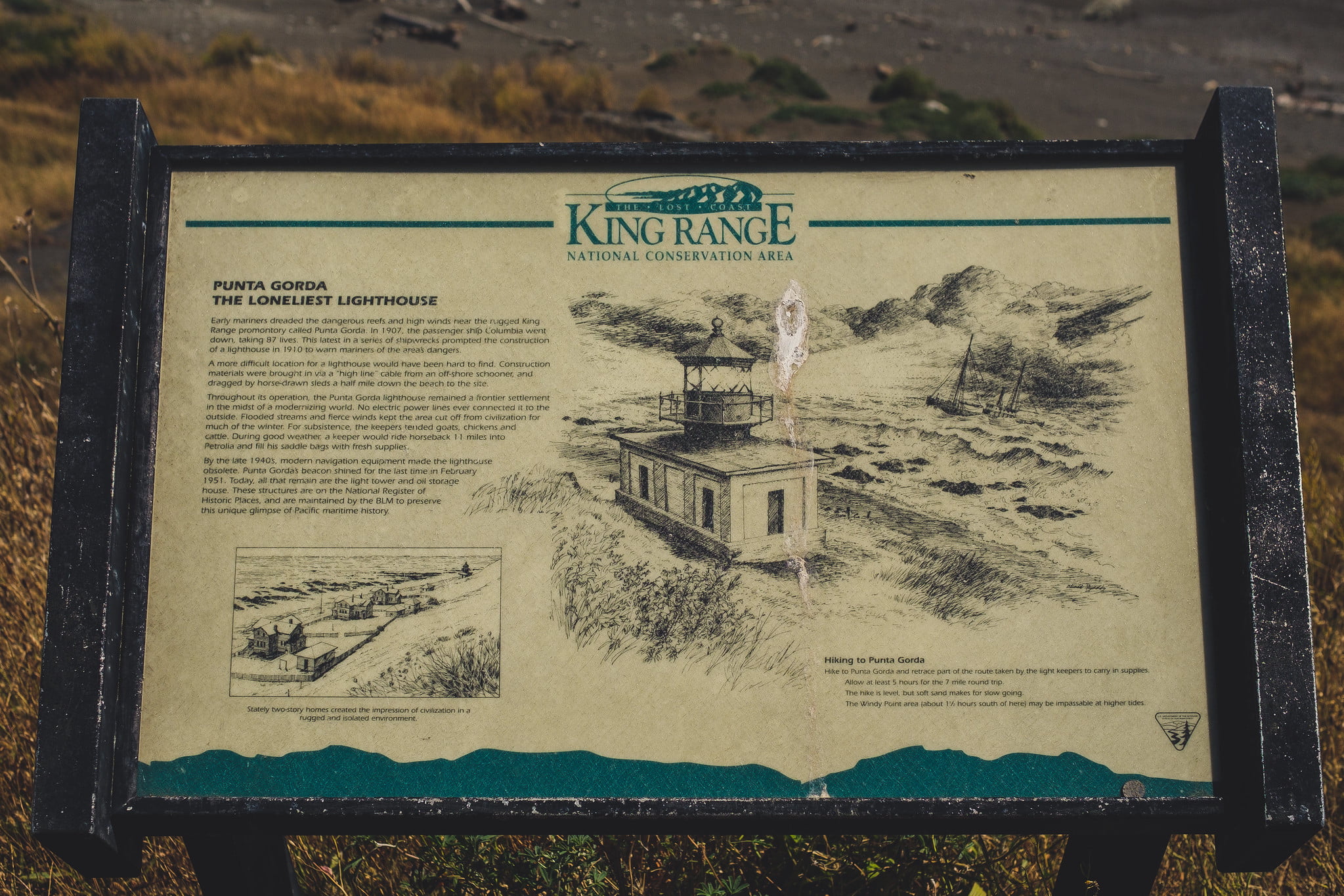
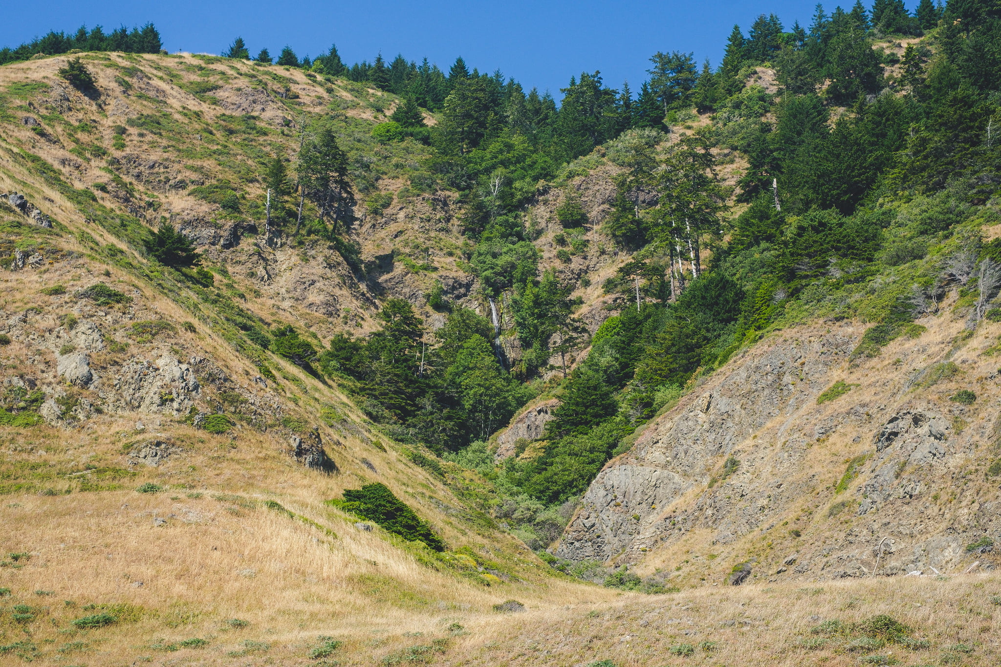
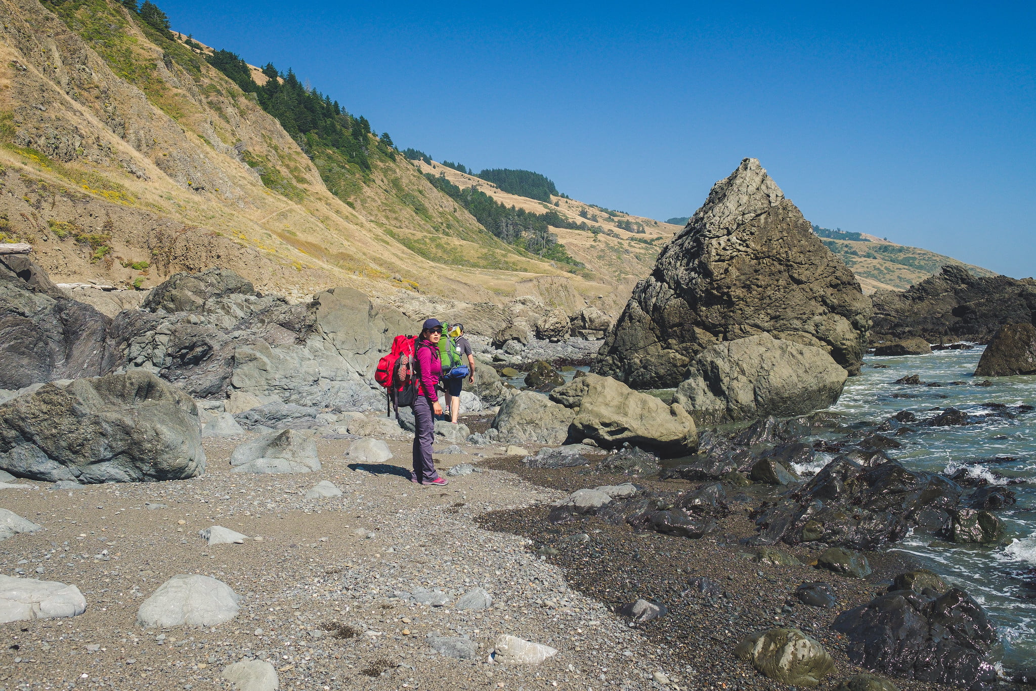
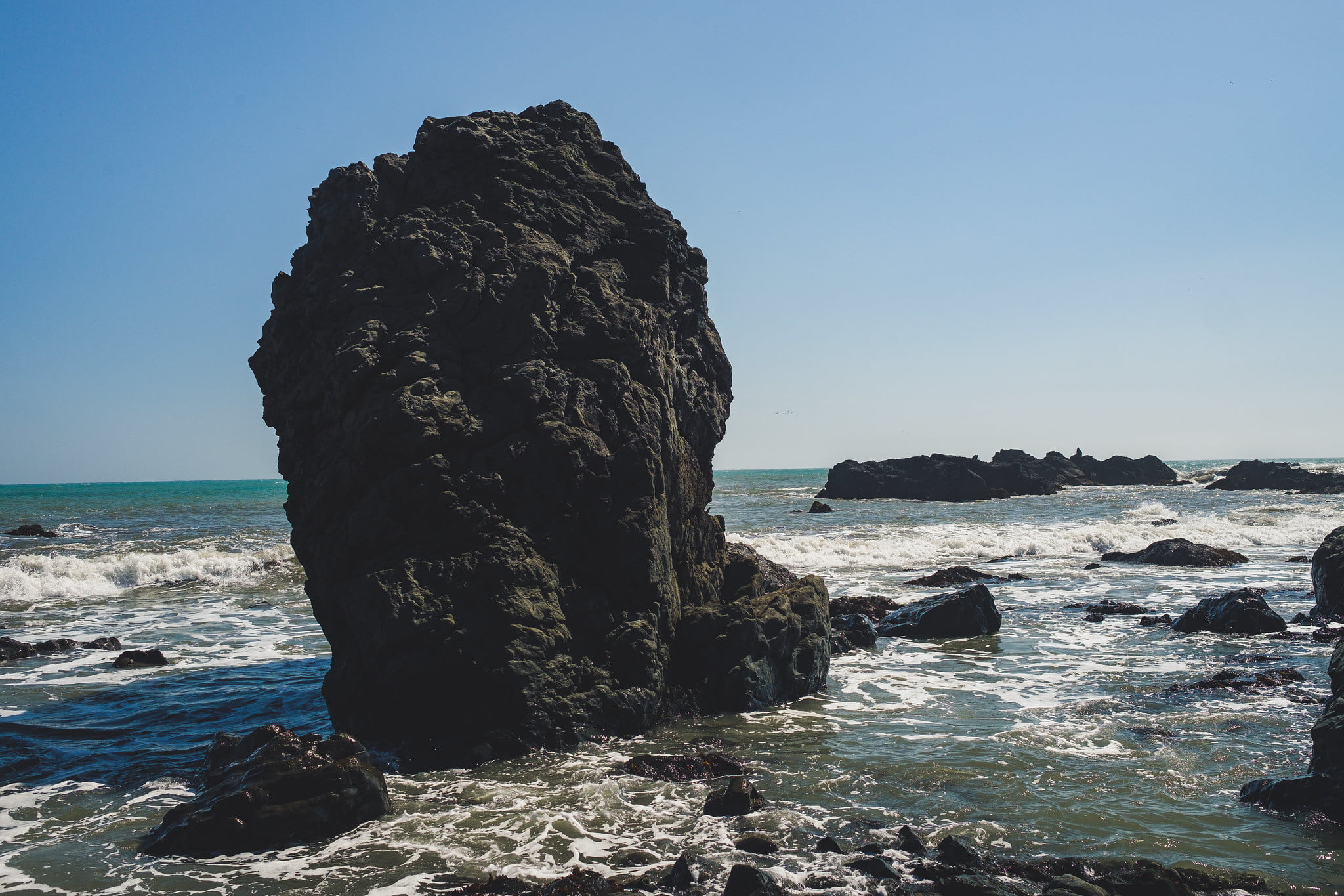
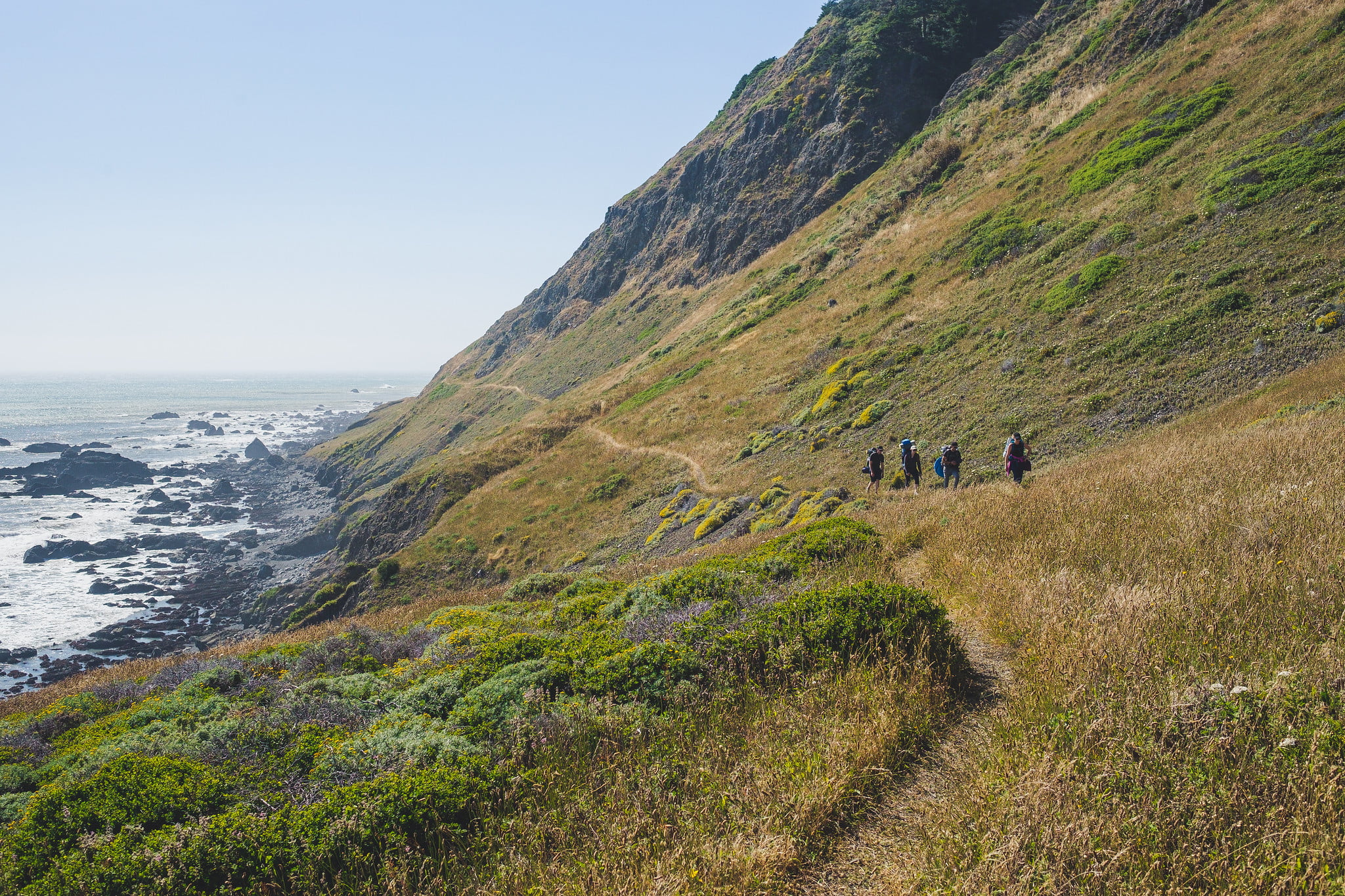
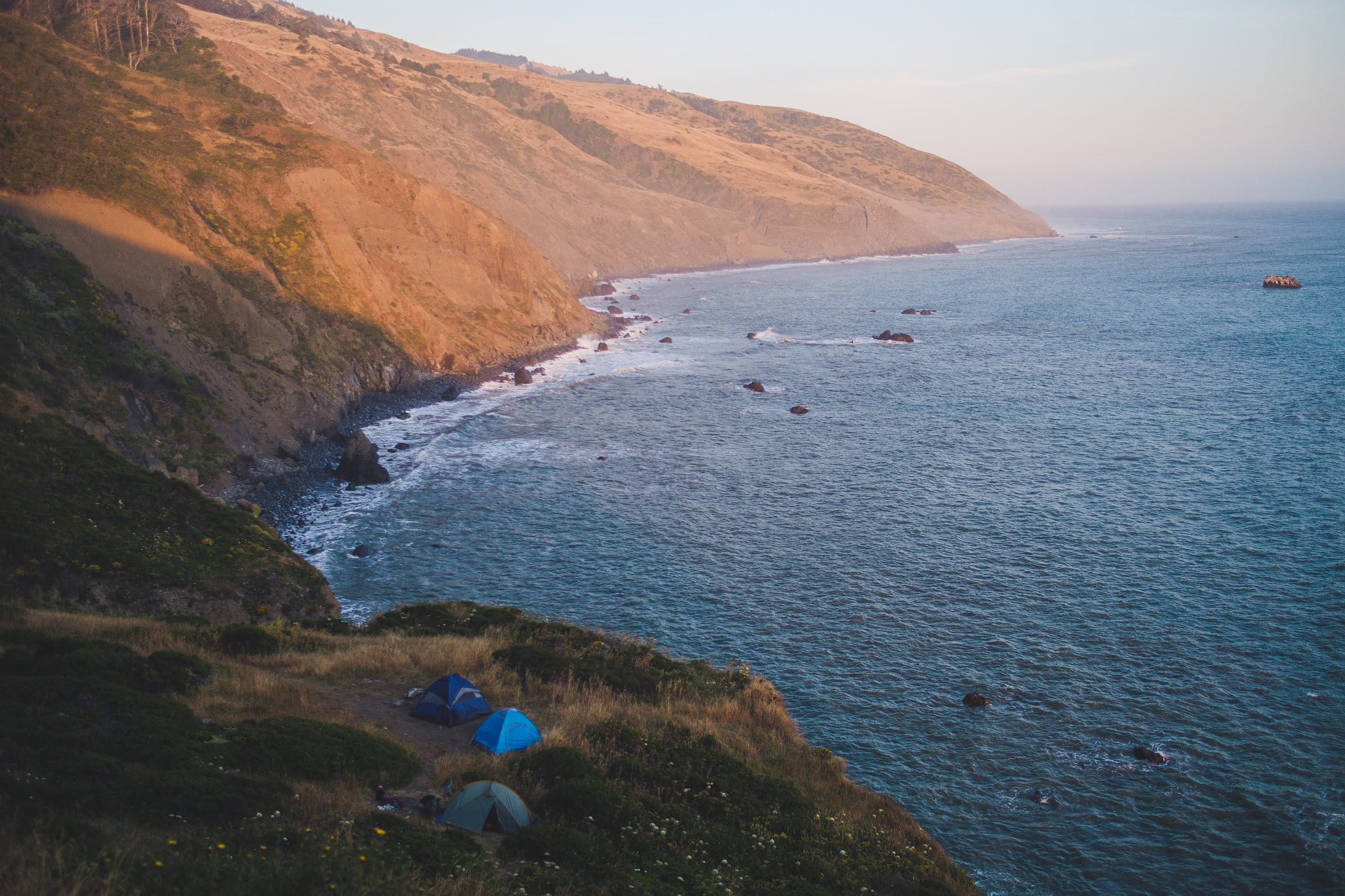
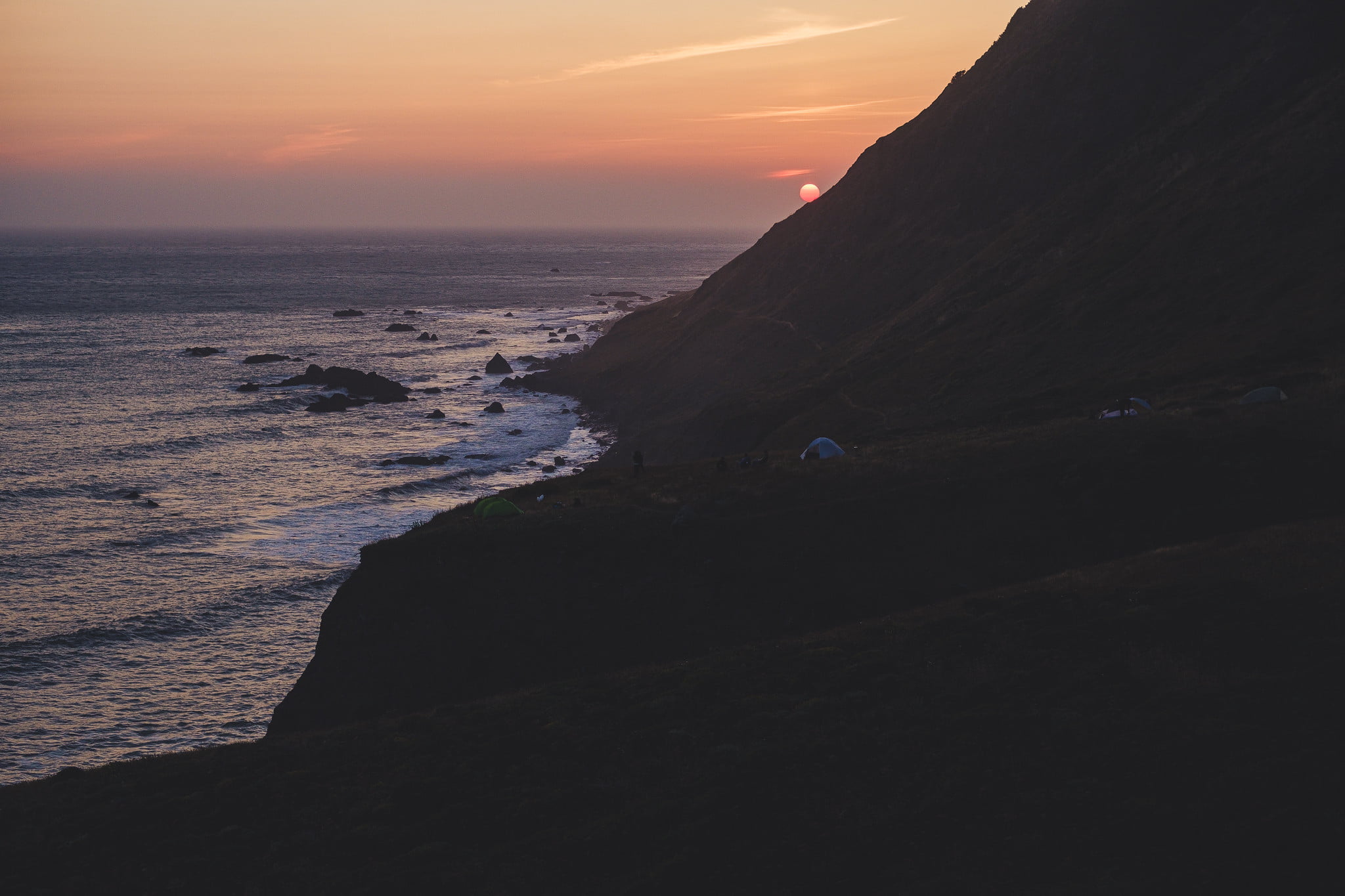
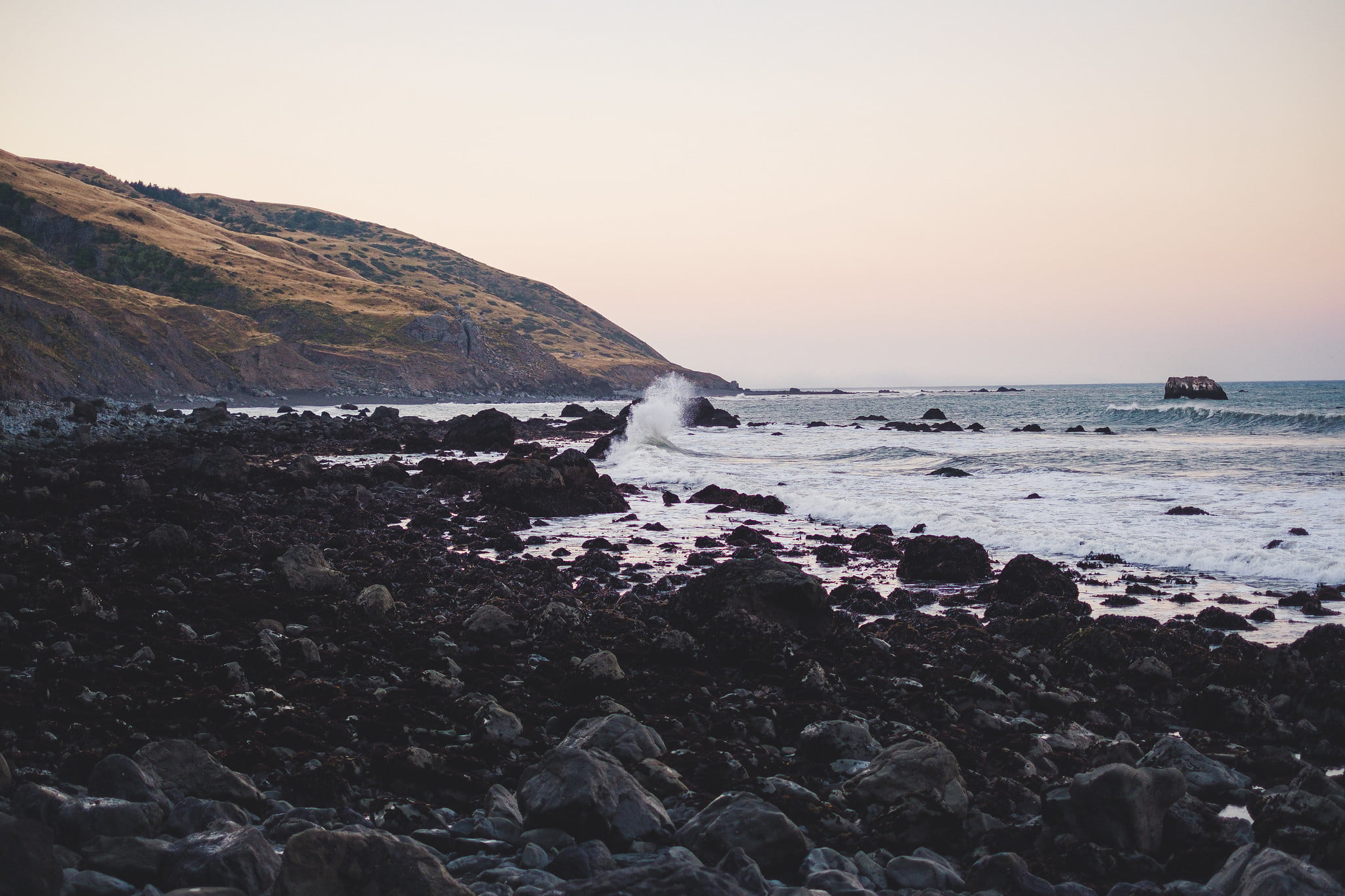
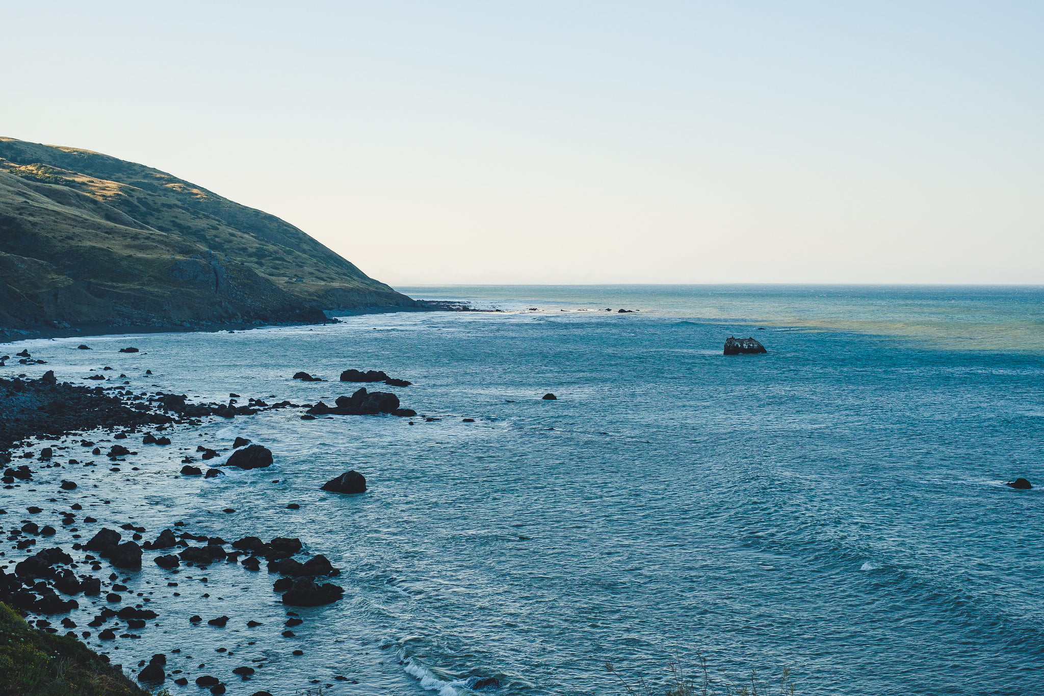
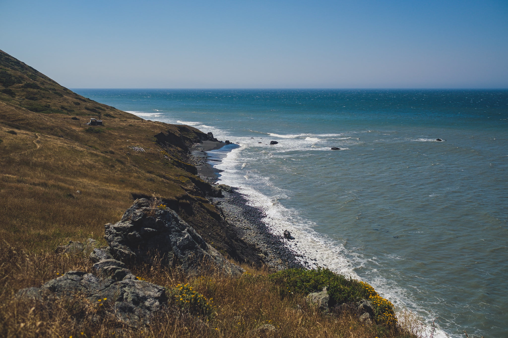
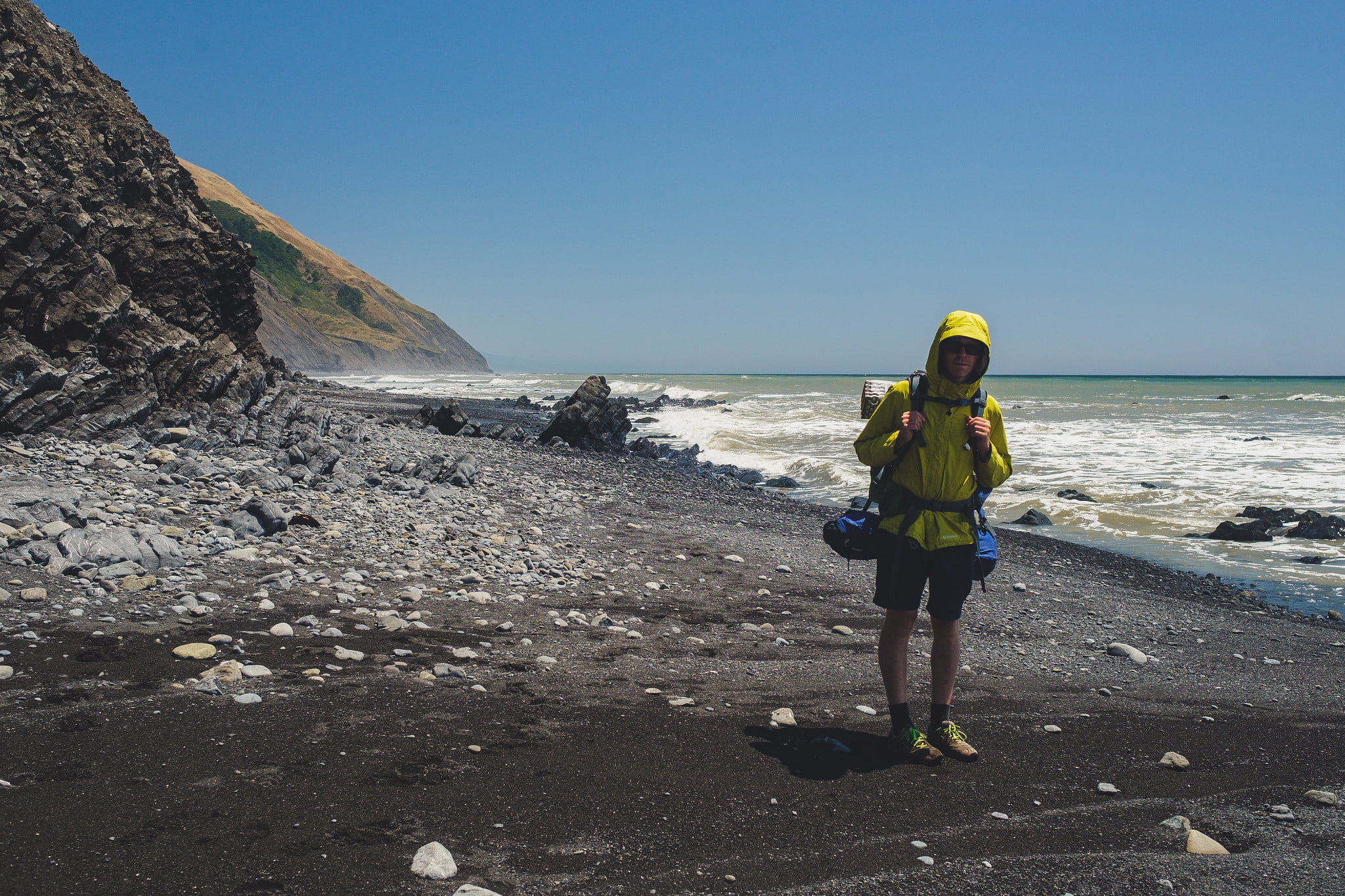
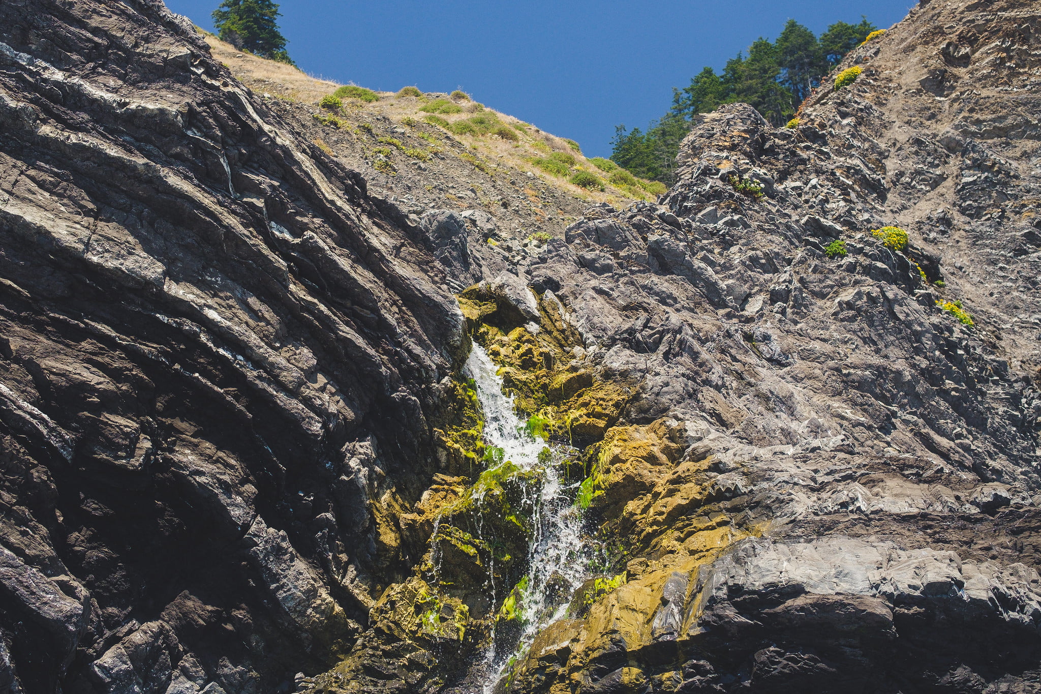
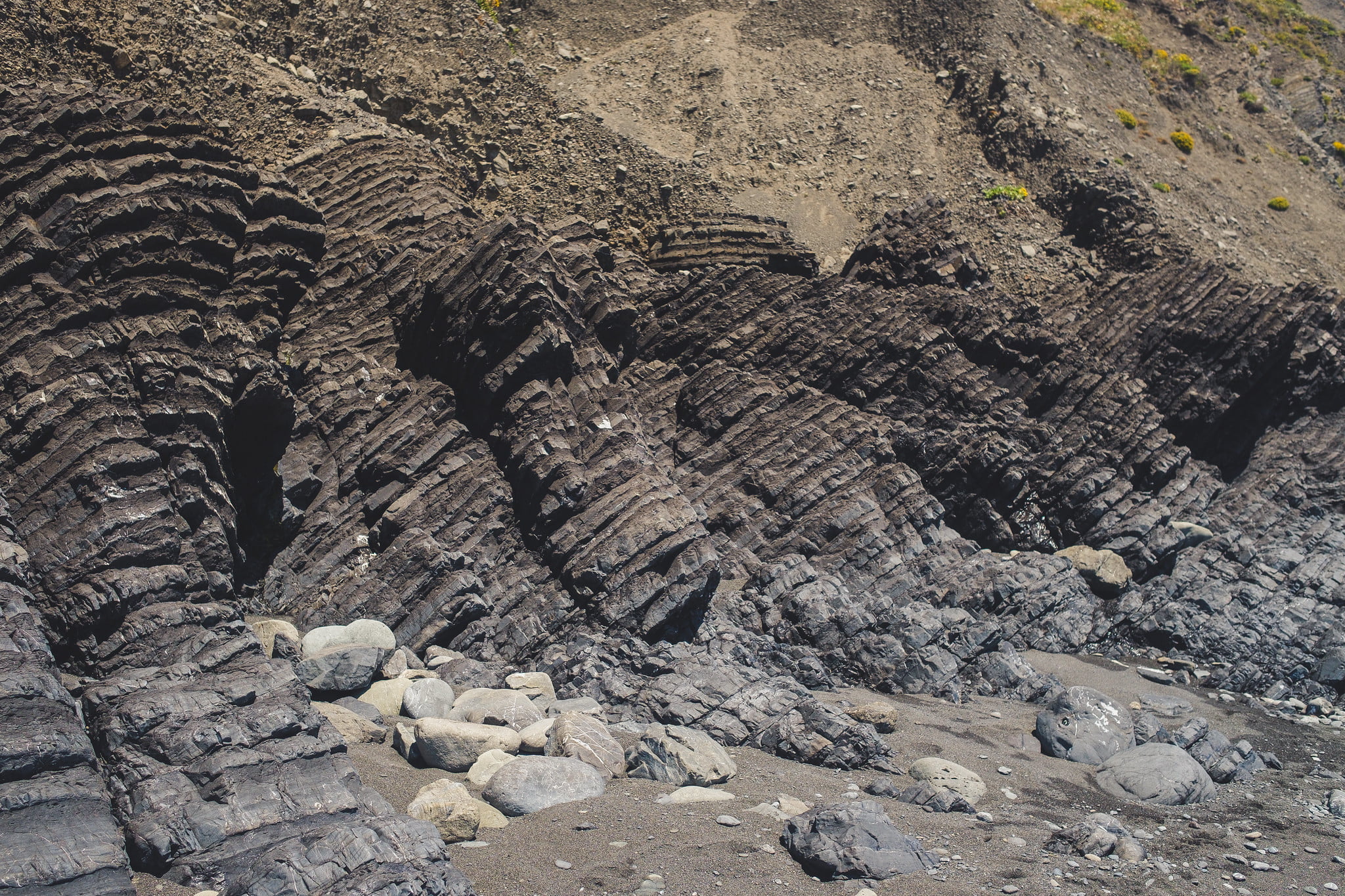
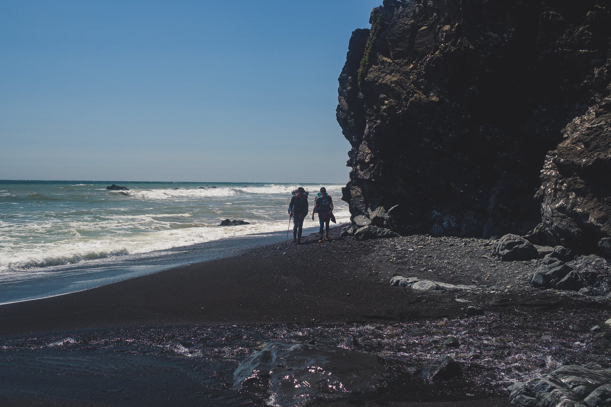
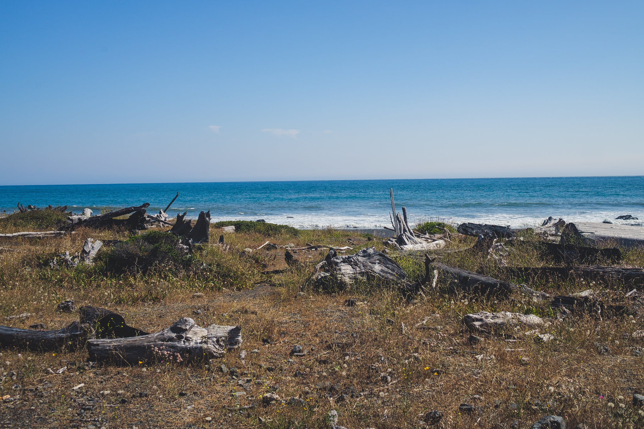
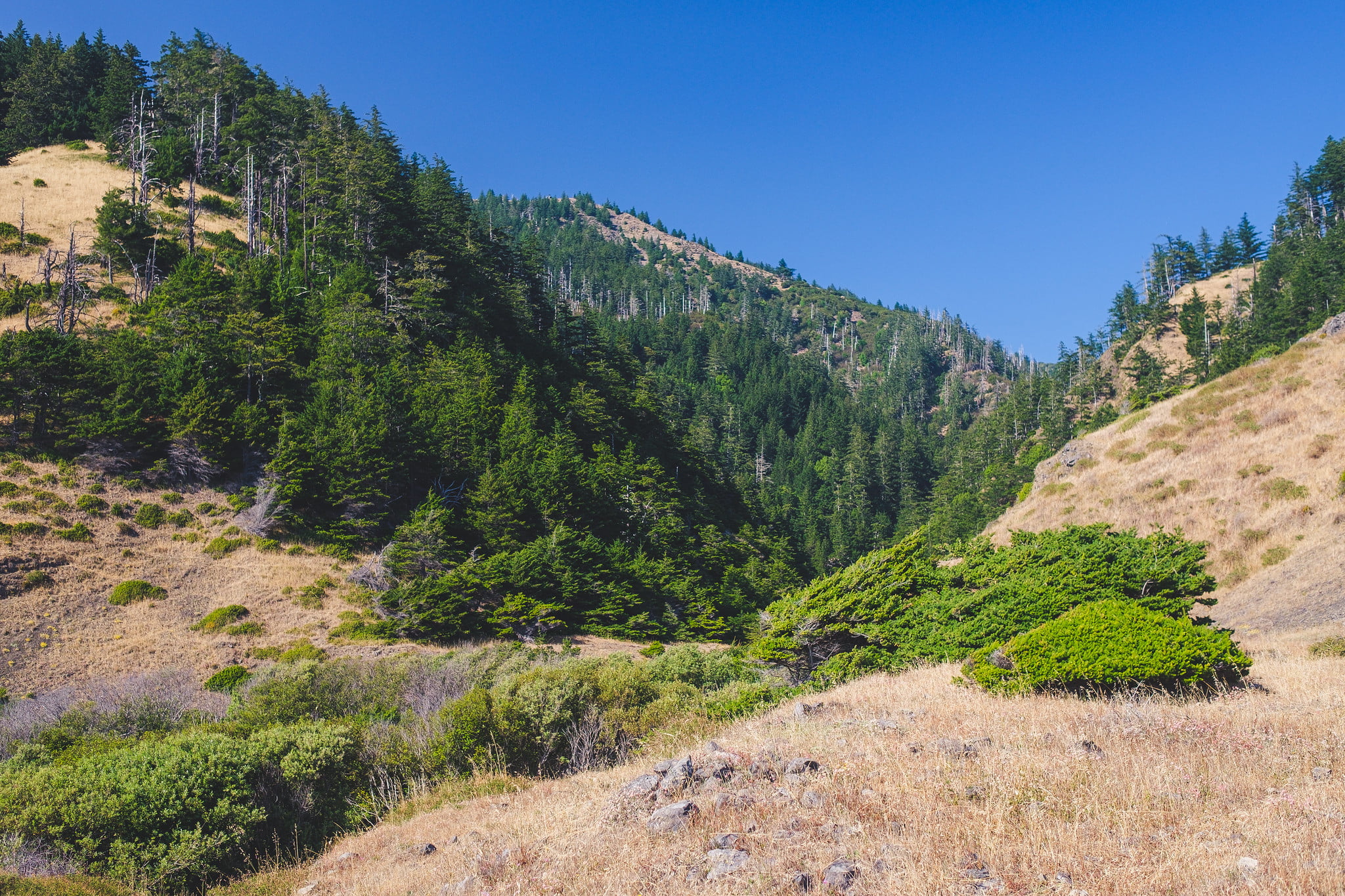
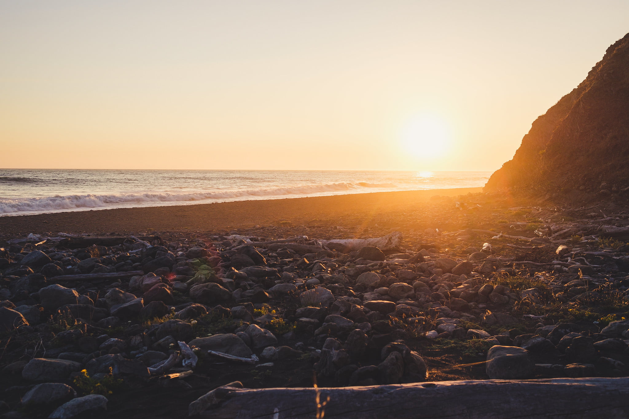
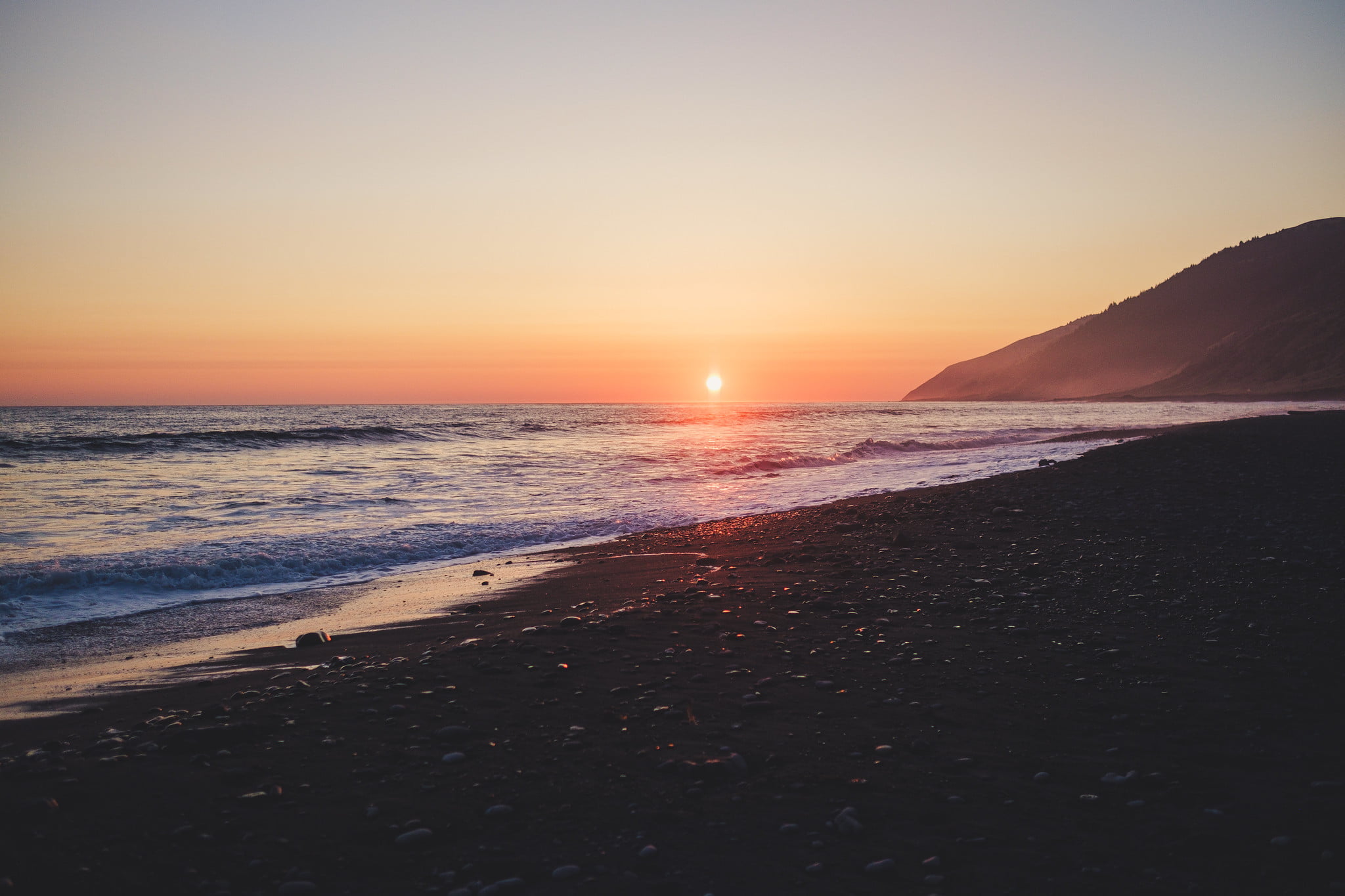
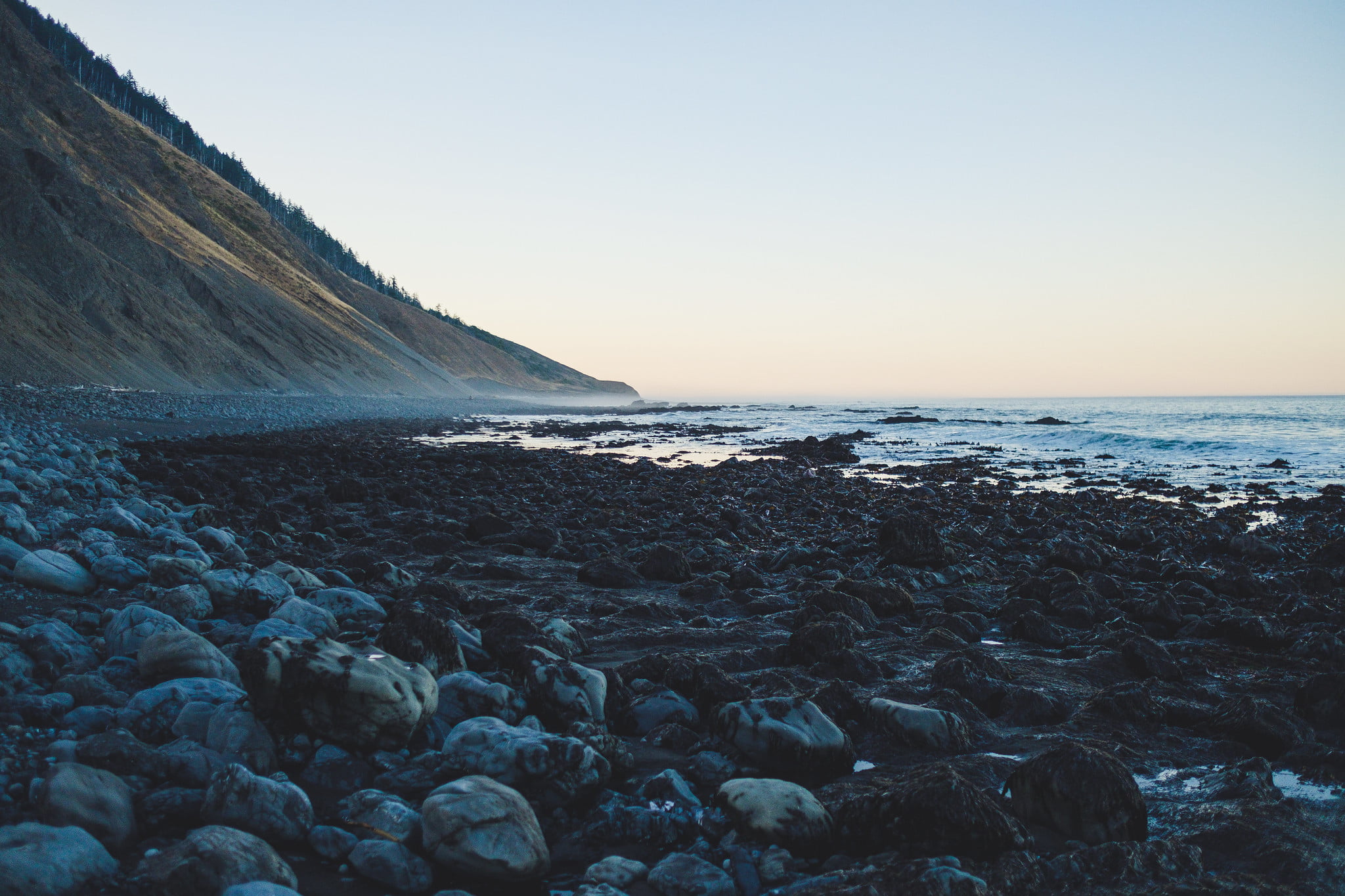
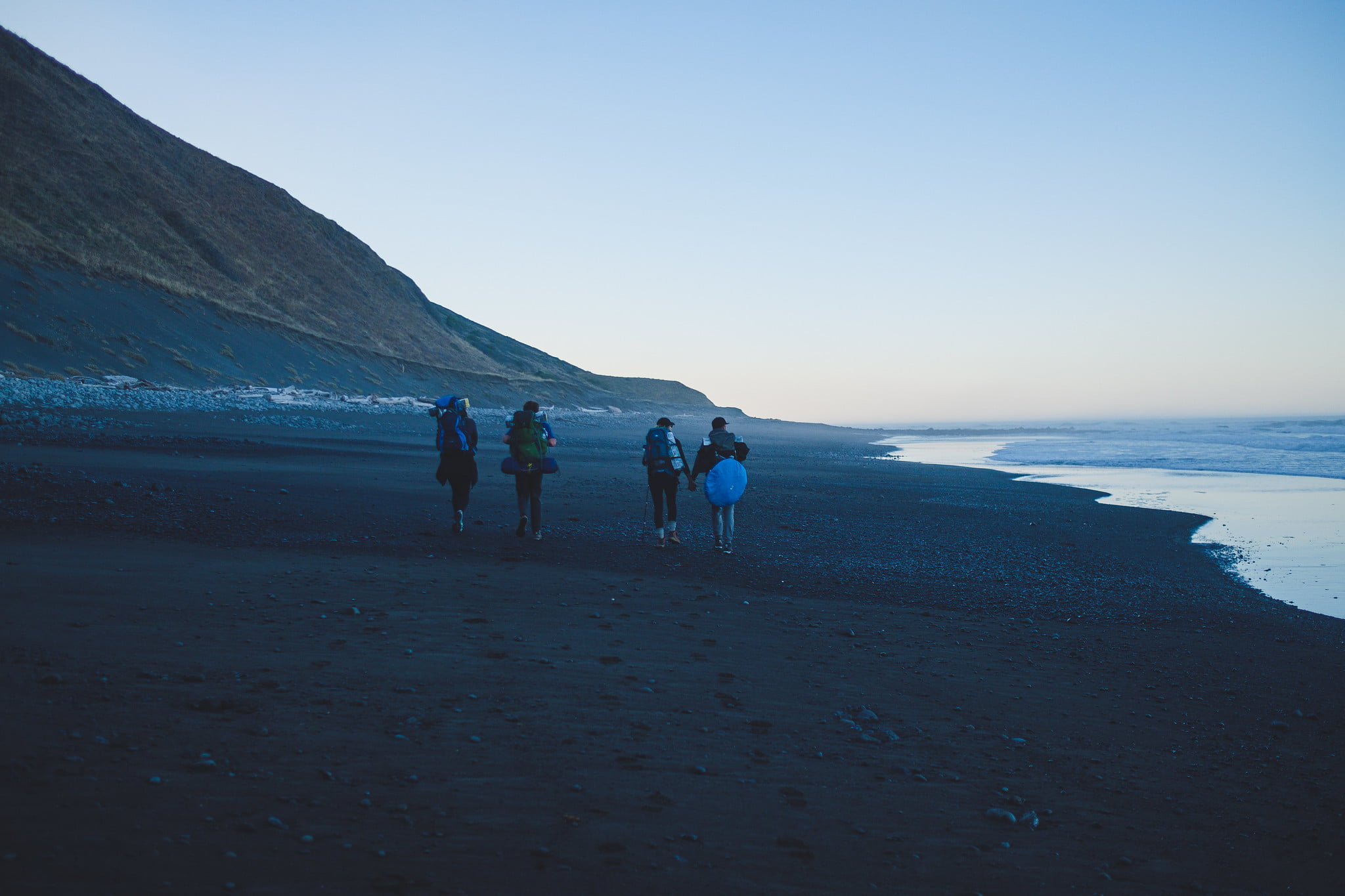
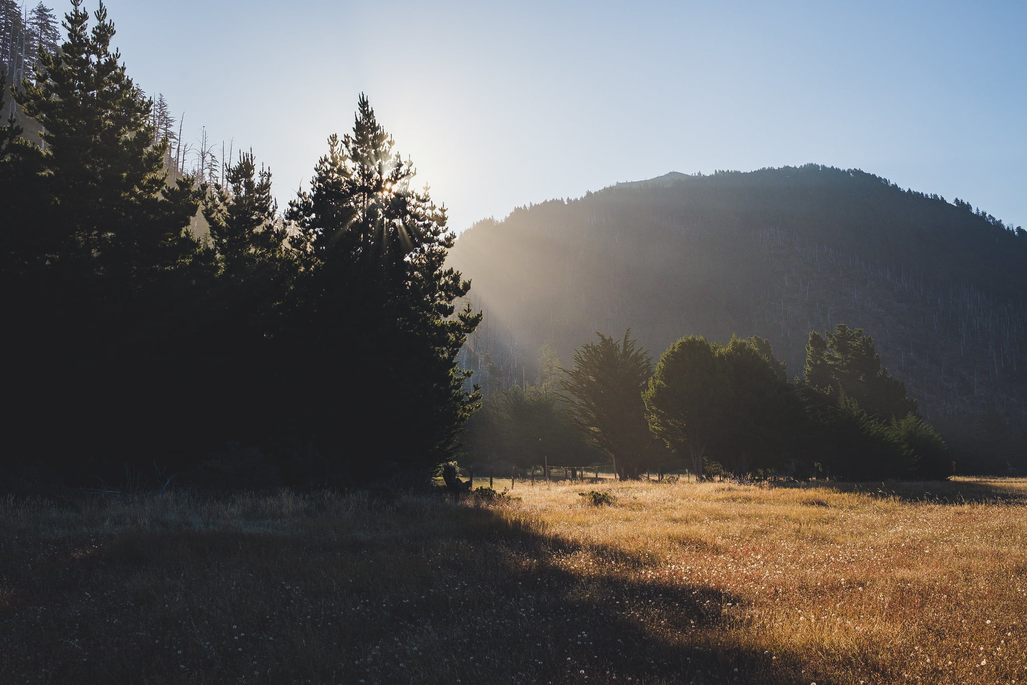
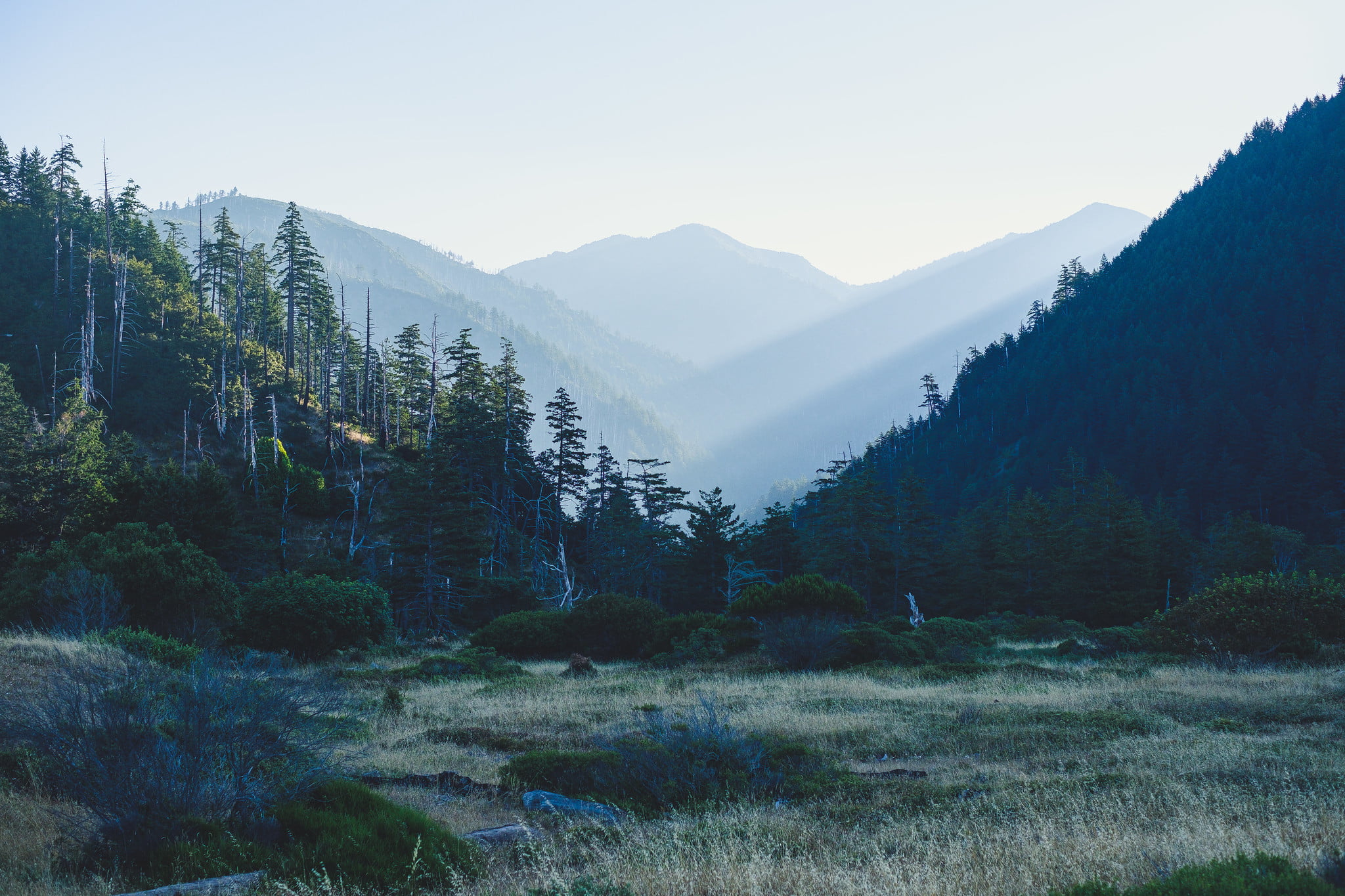
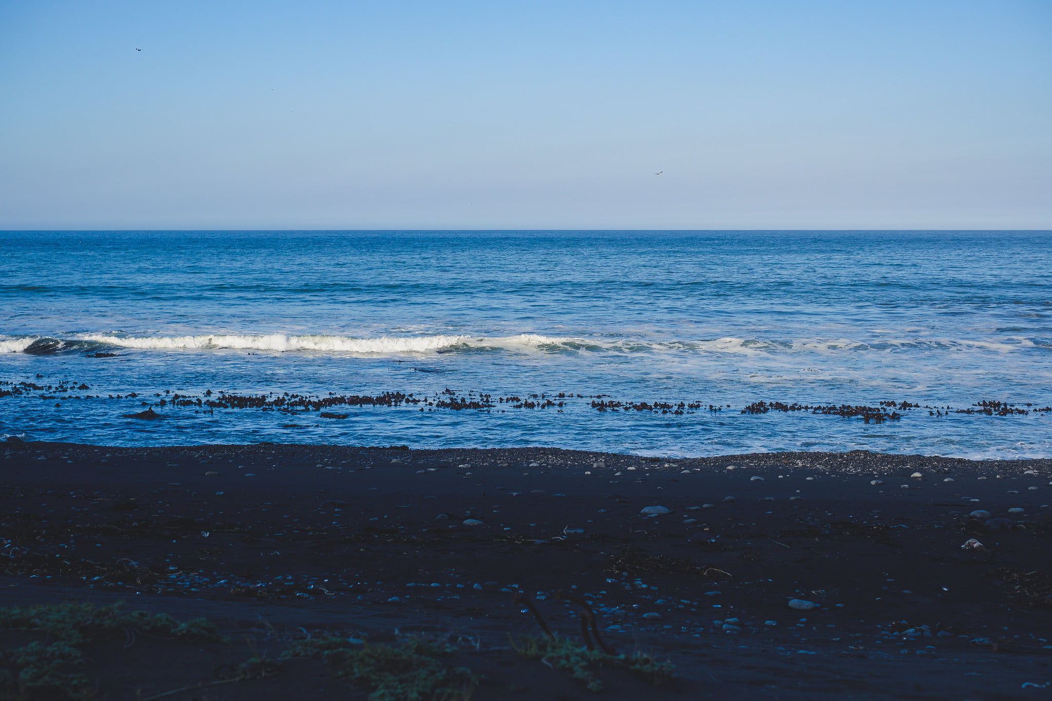
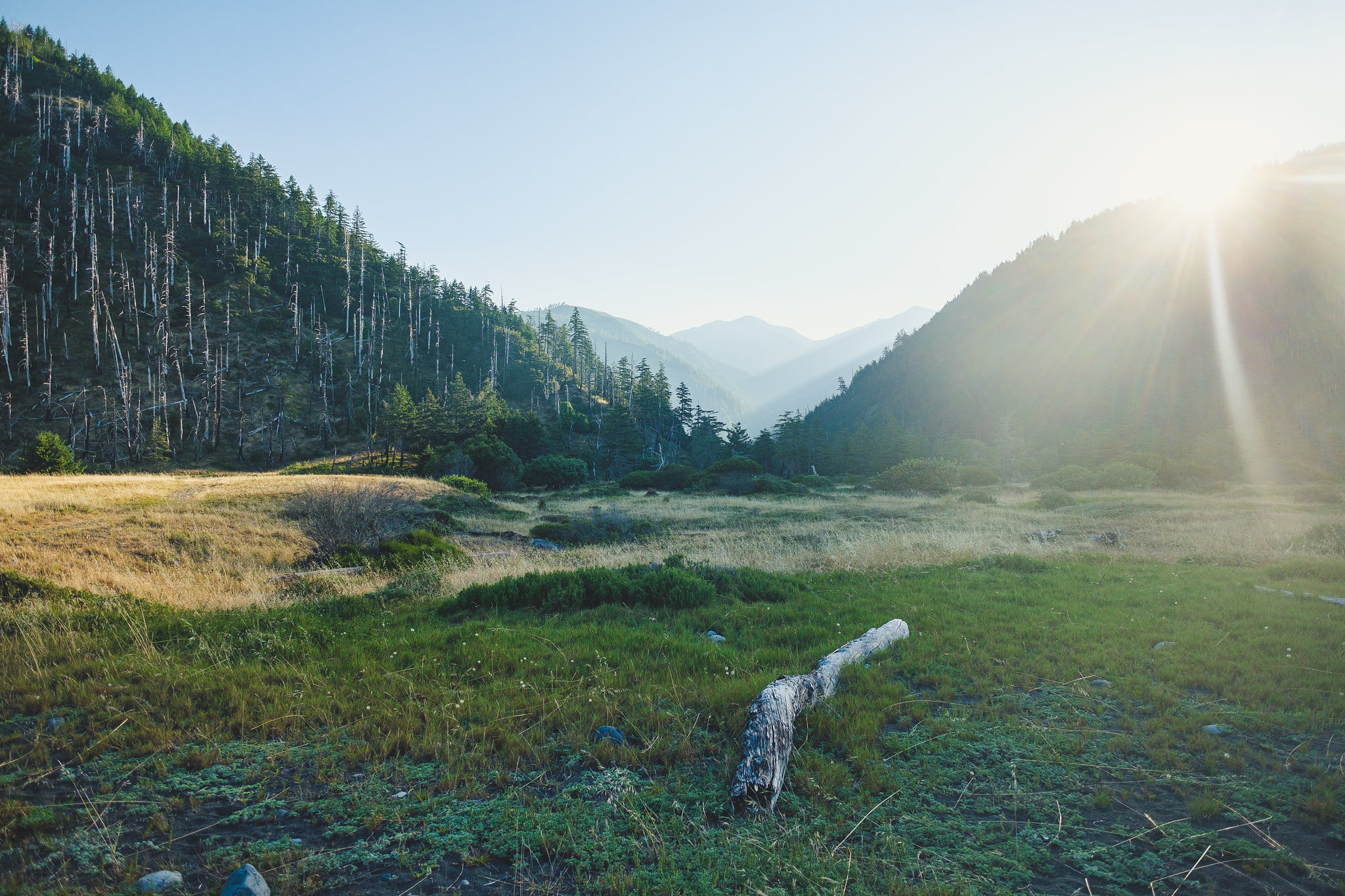
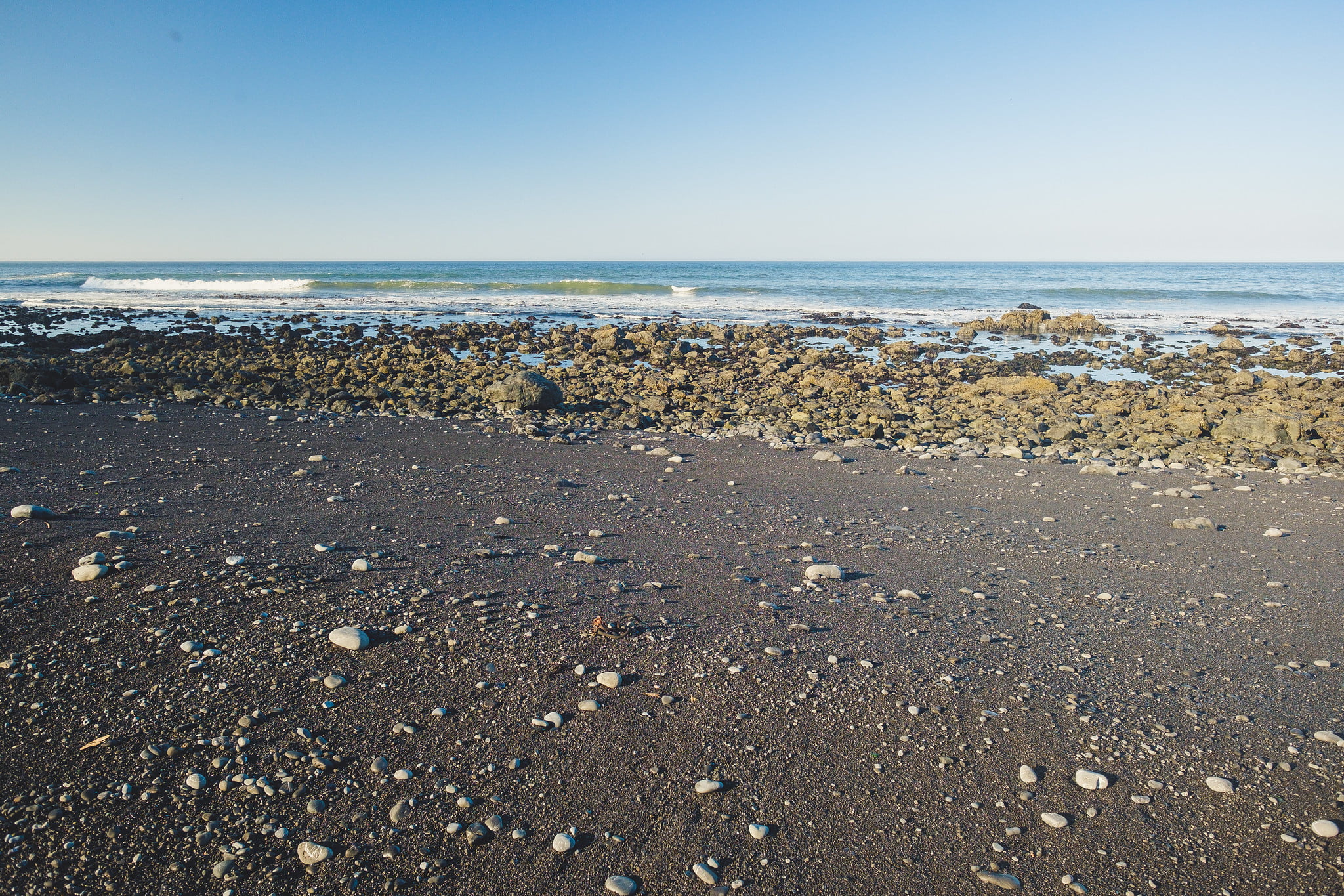
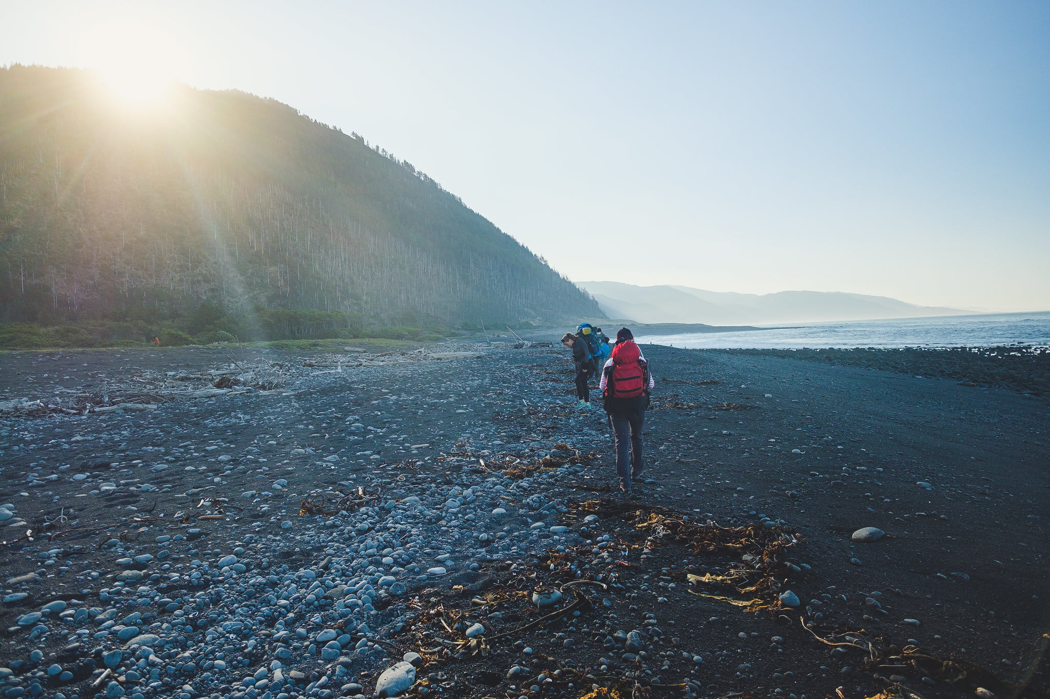
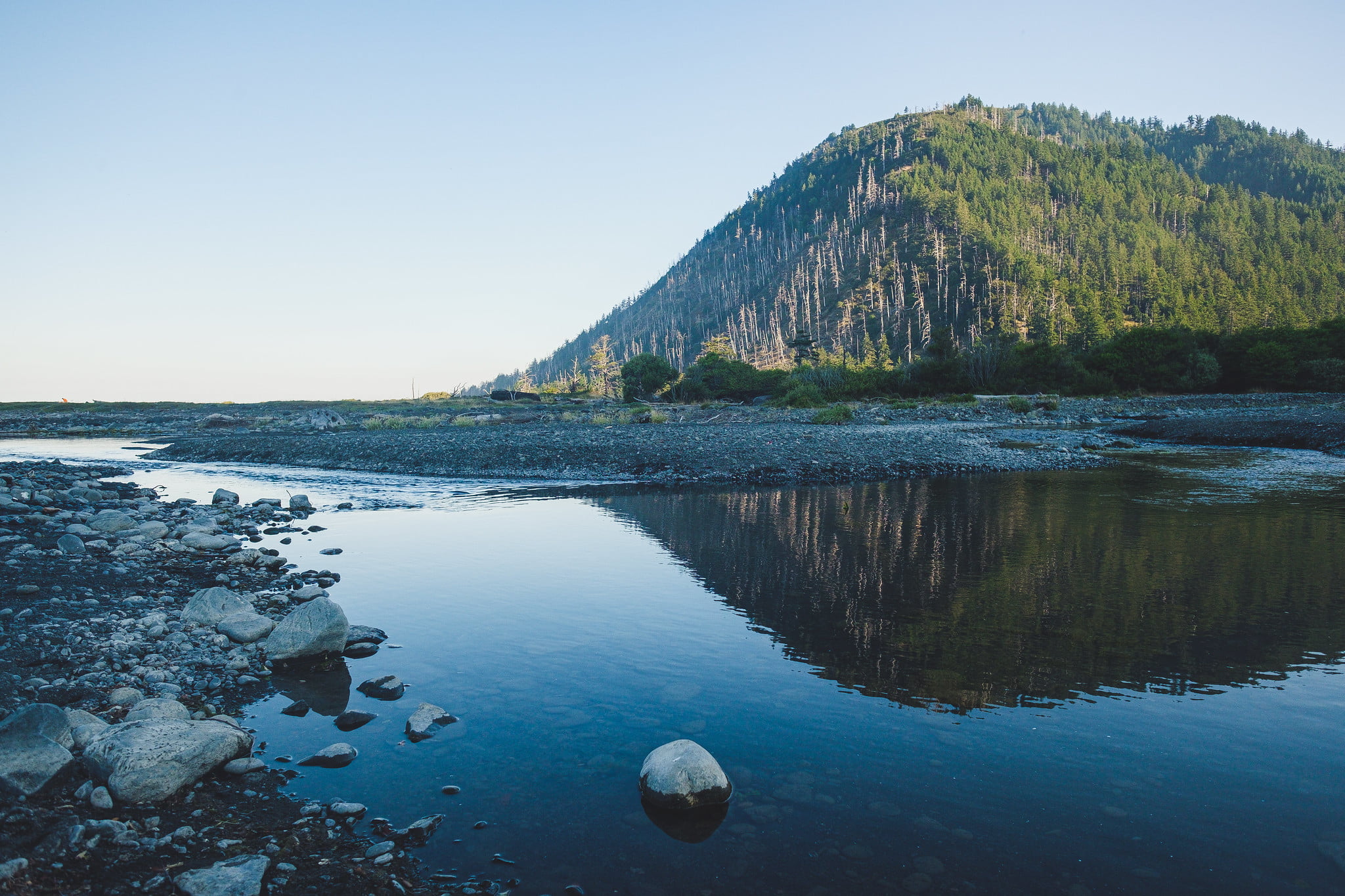
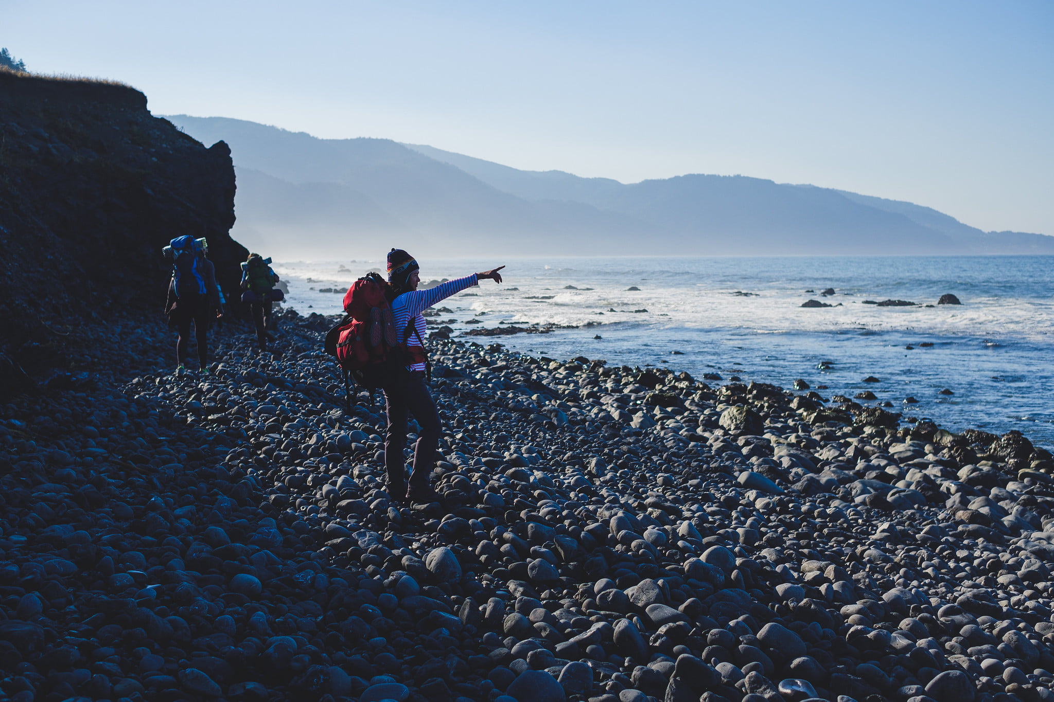
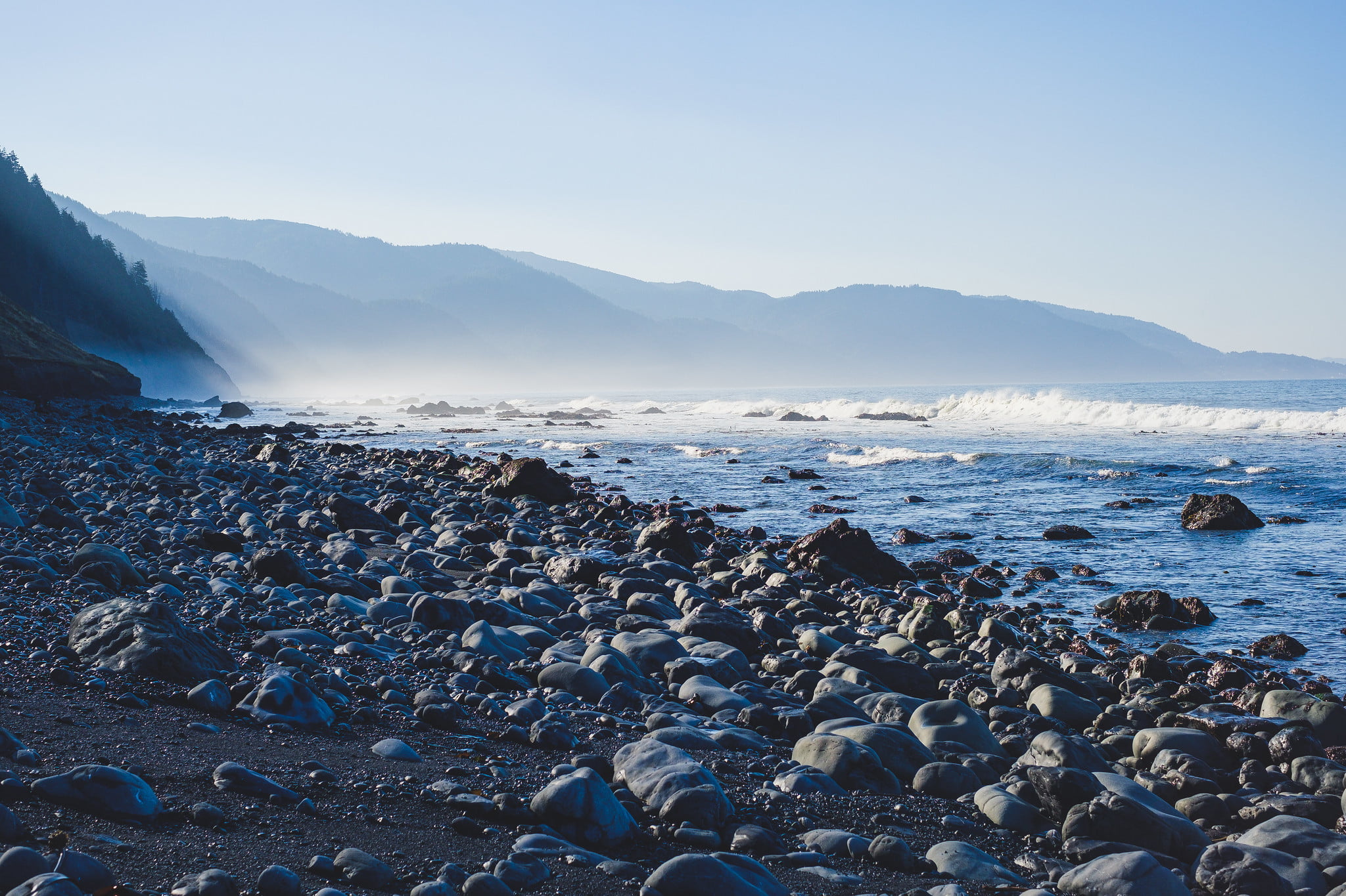
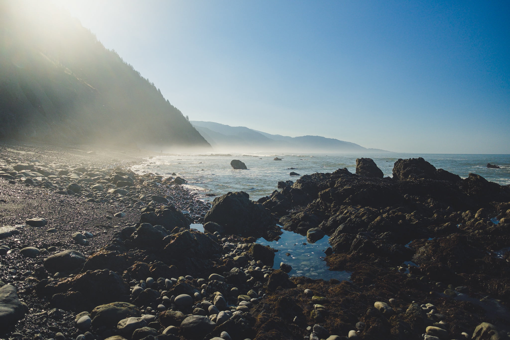
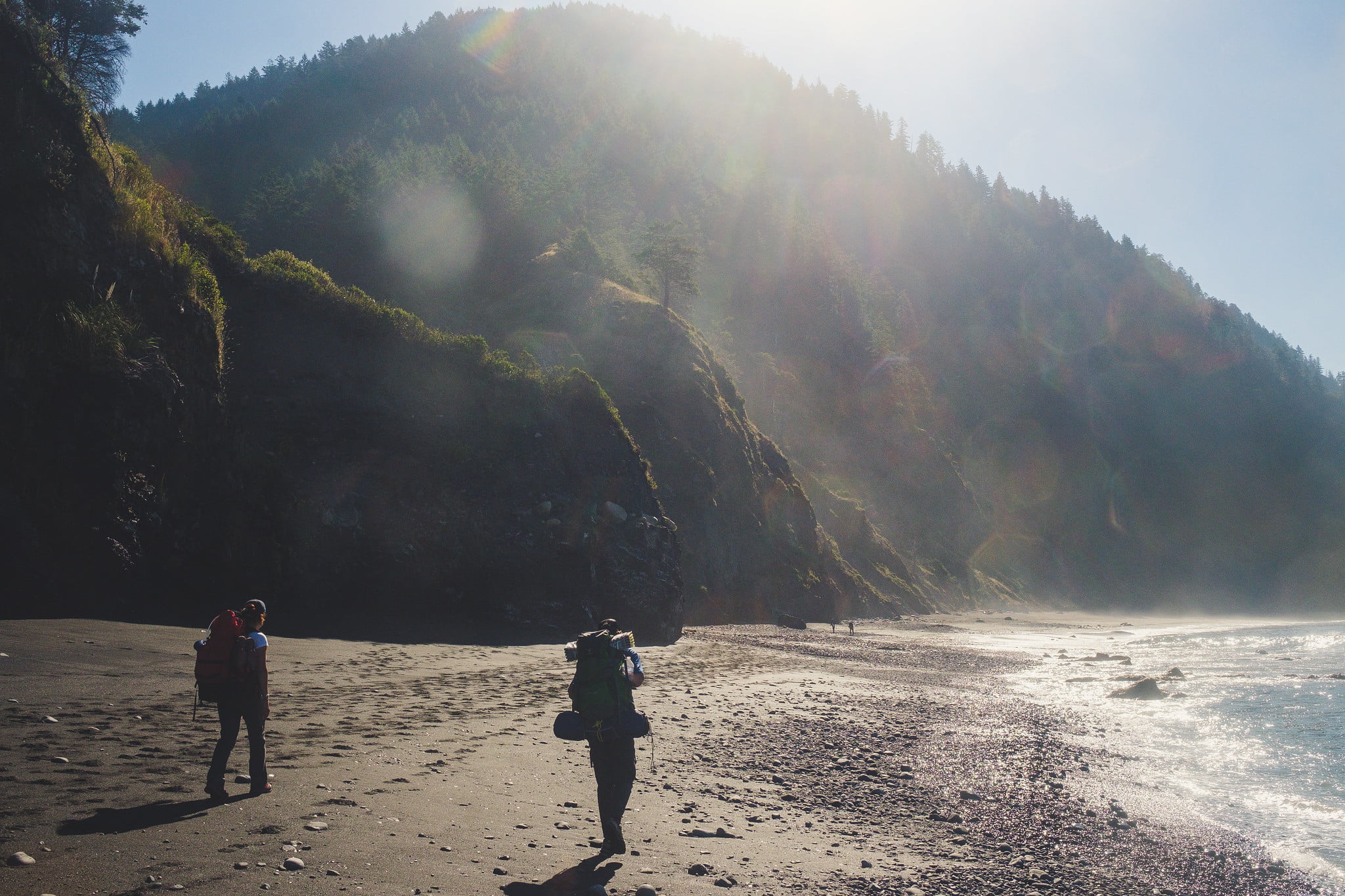
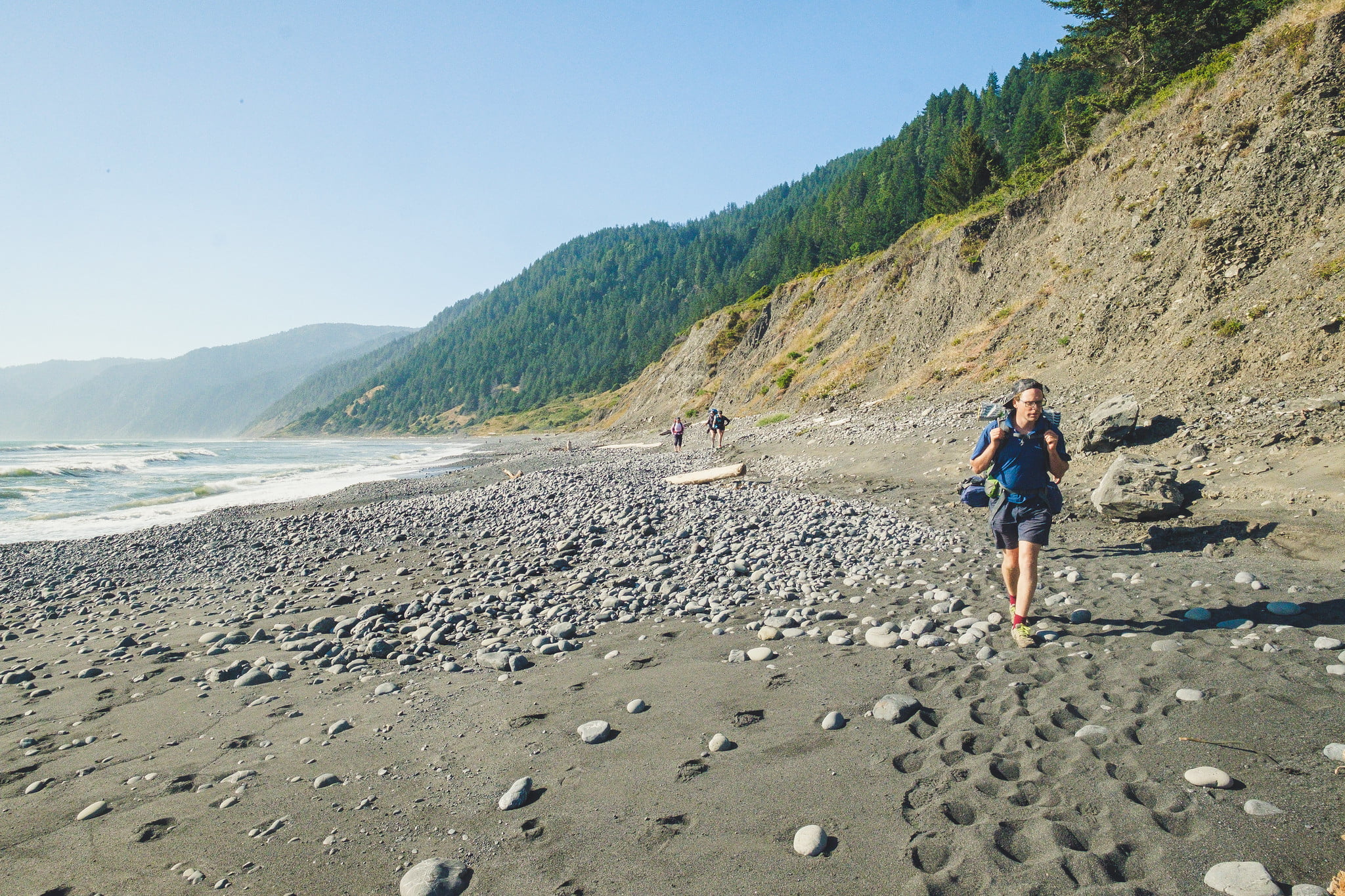
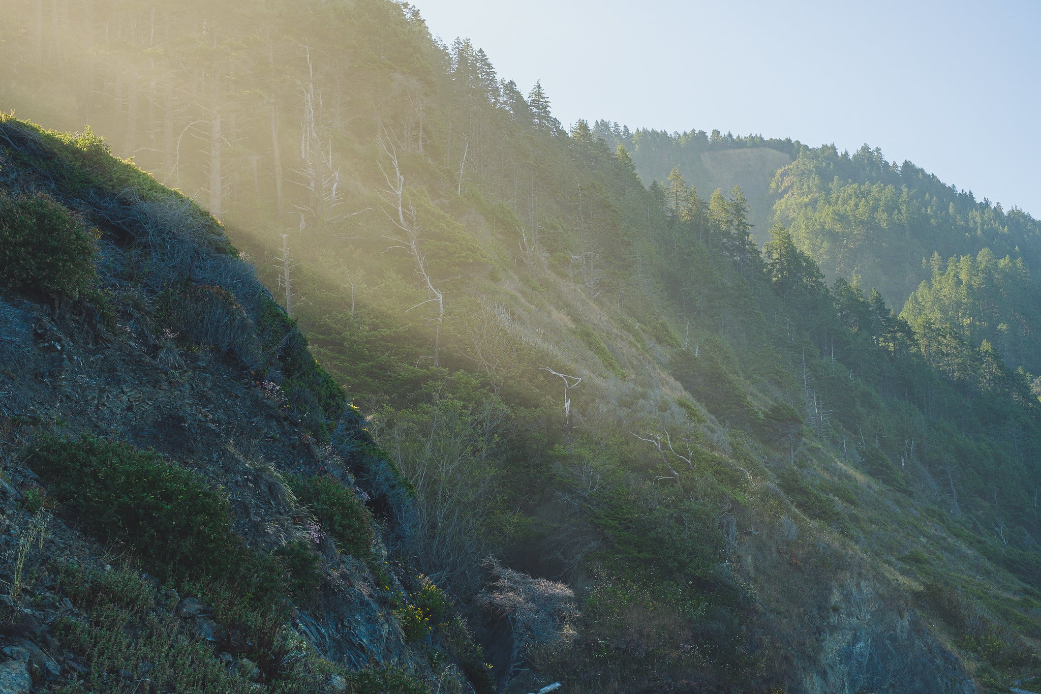
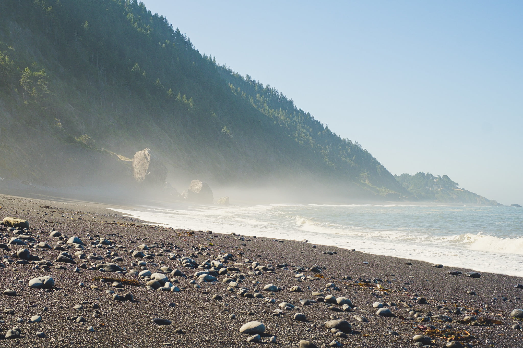
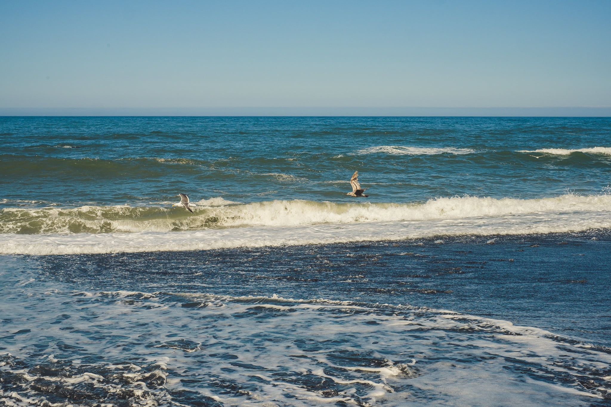
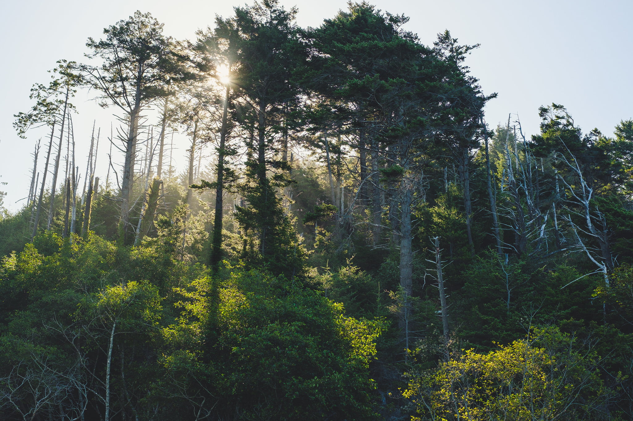
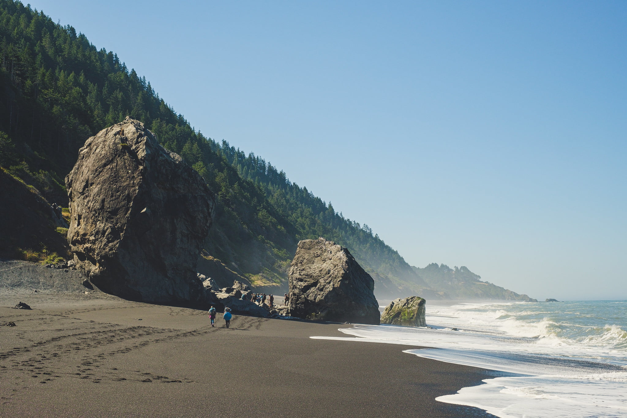
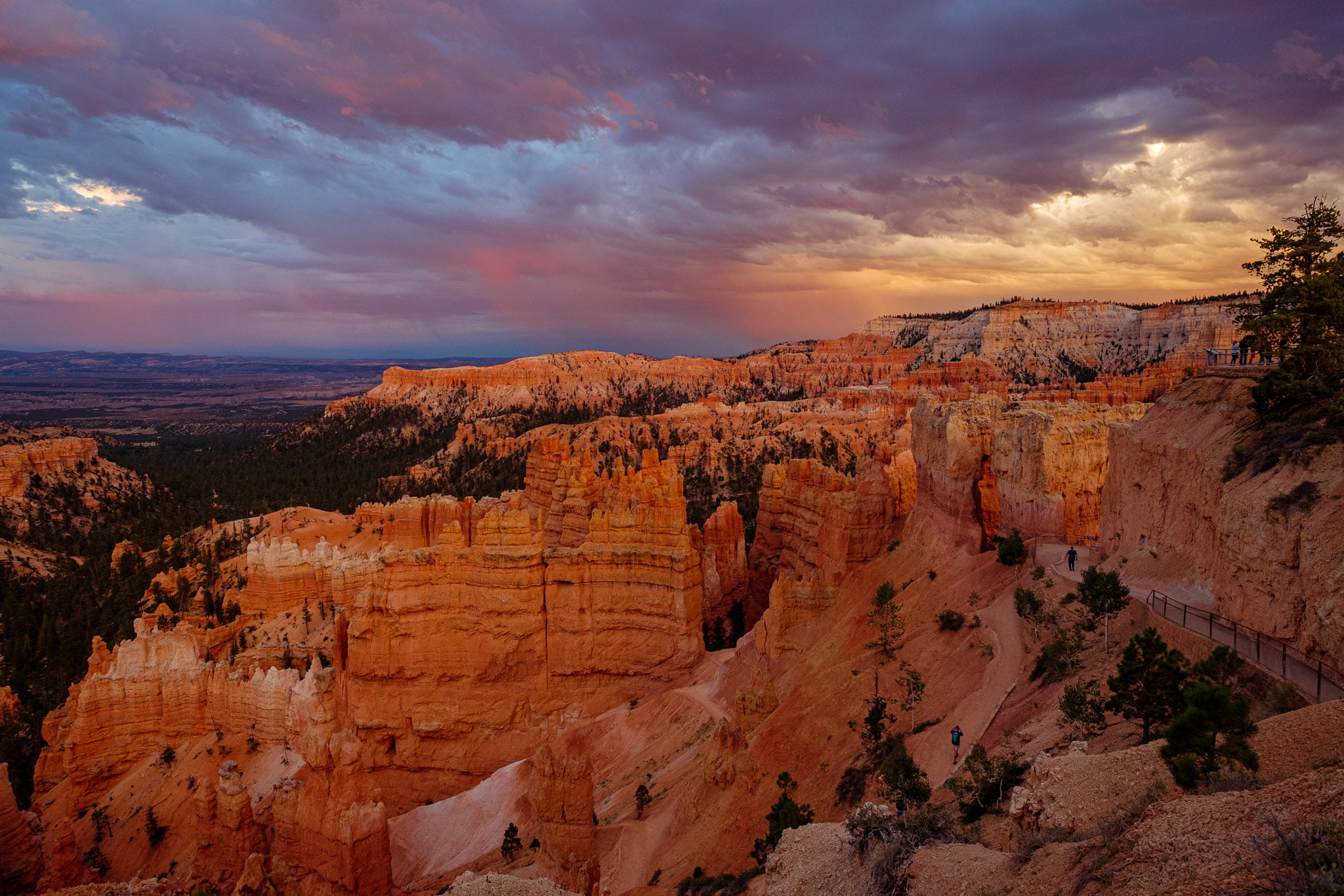
There is an incredible trail that follows a remote part of the rugged Northern California coastline that has been mostly left alone with no roads or highways running through. The whole area is dramatic and wild. King Peak, the highest point in the area, drops from 4088 feet (1246m) into the ocean less than 3 miles away (5km).
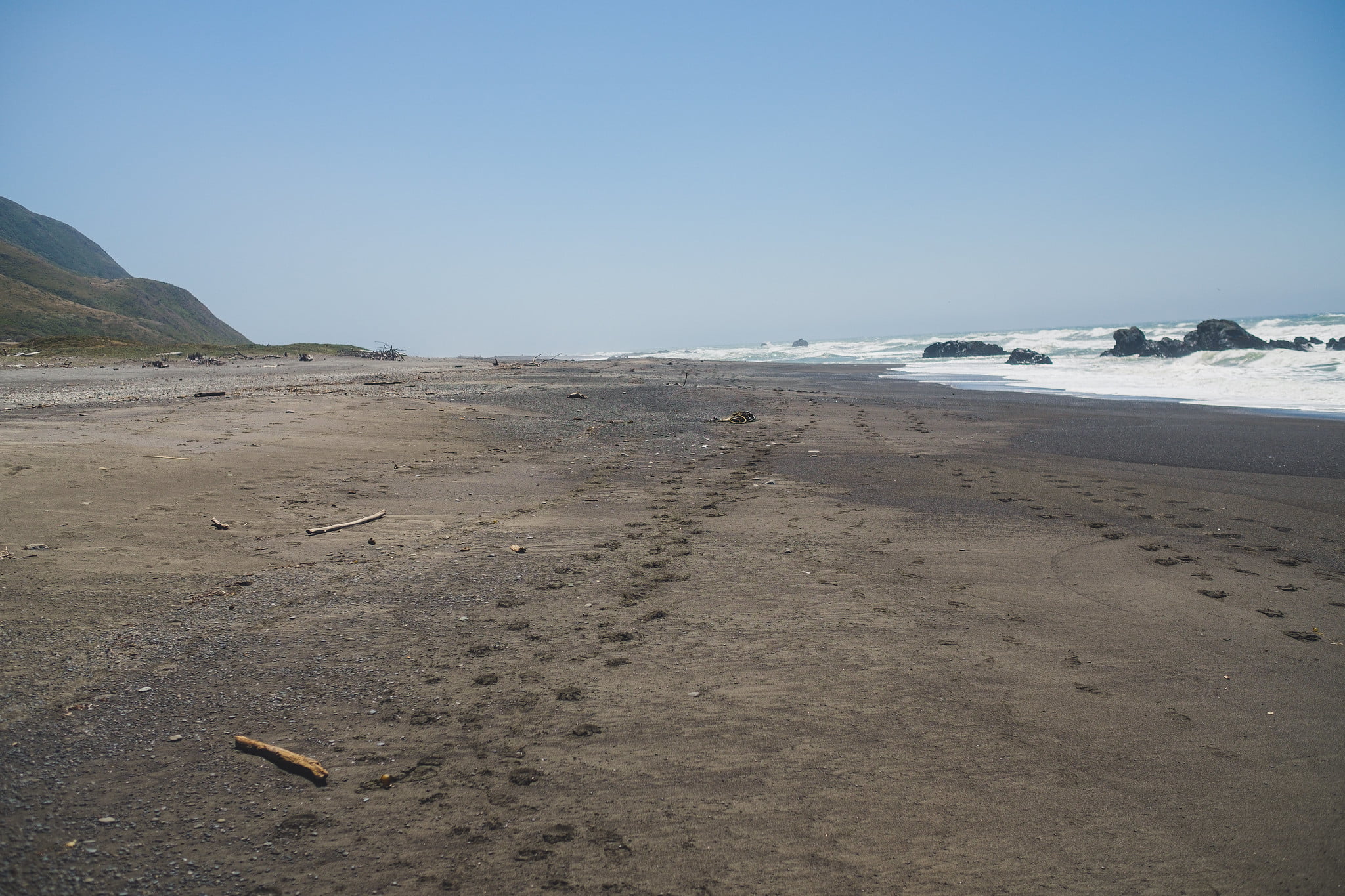
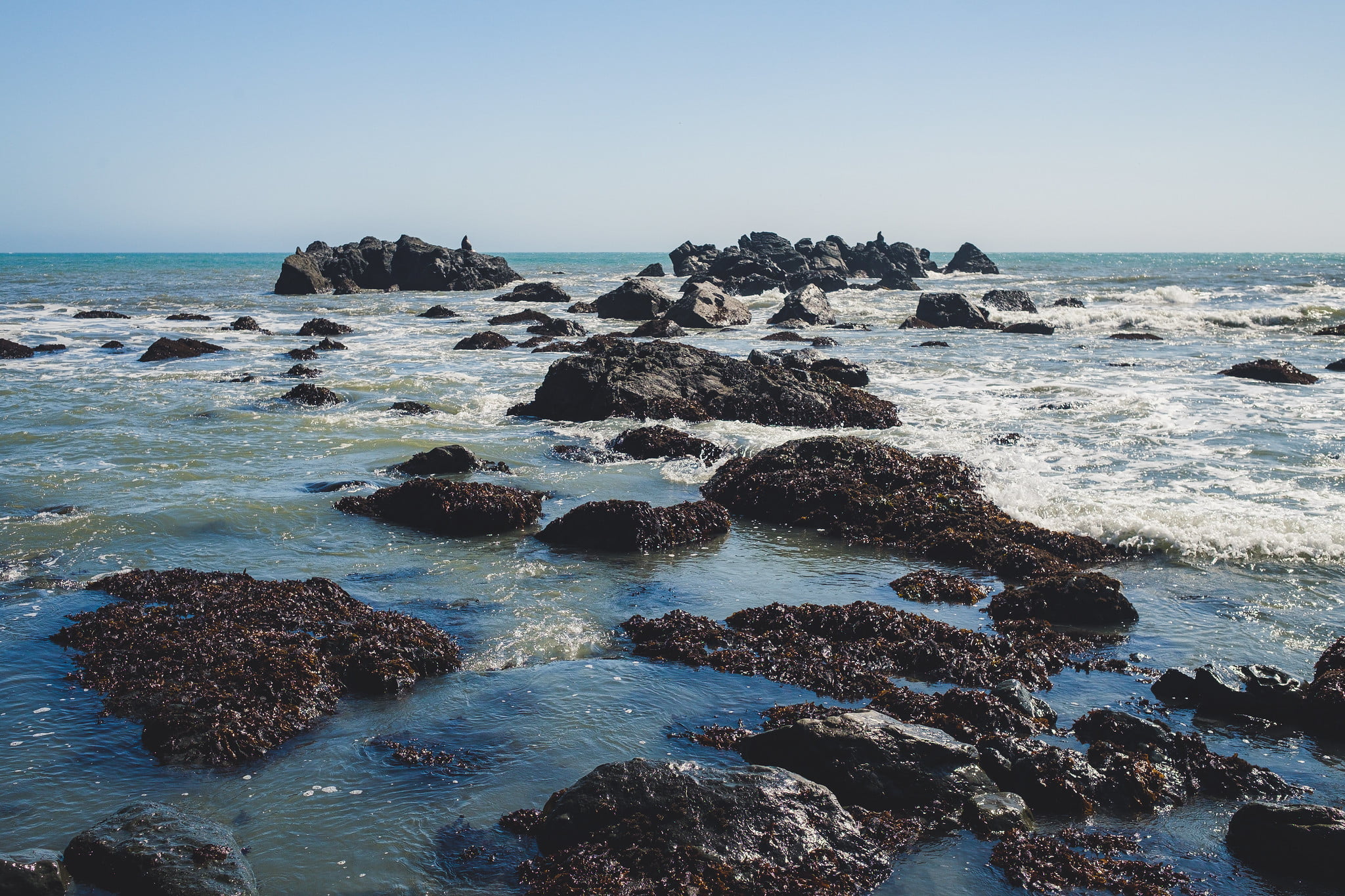
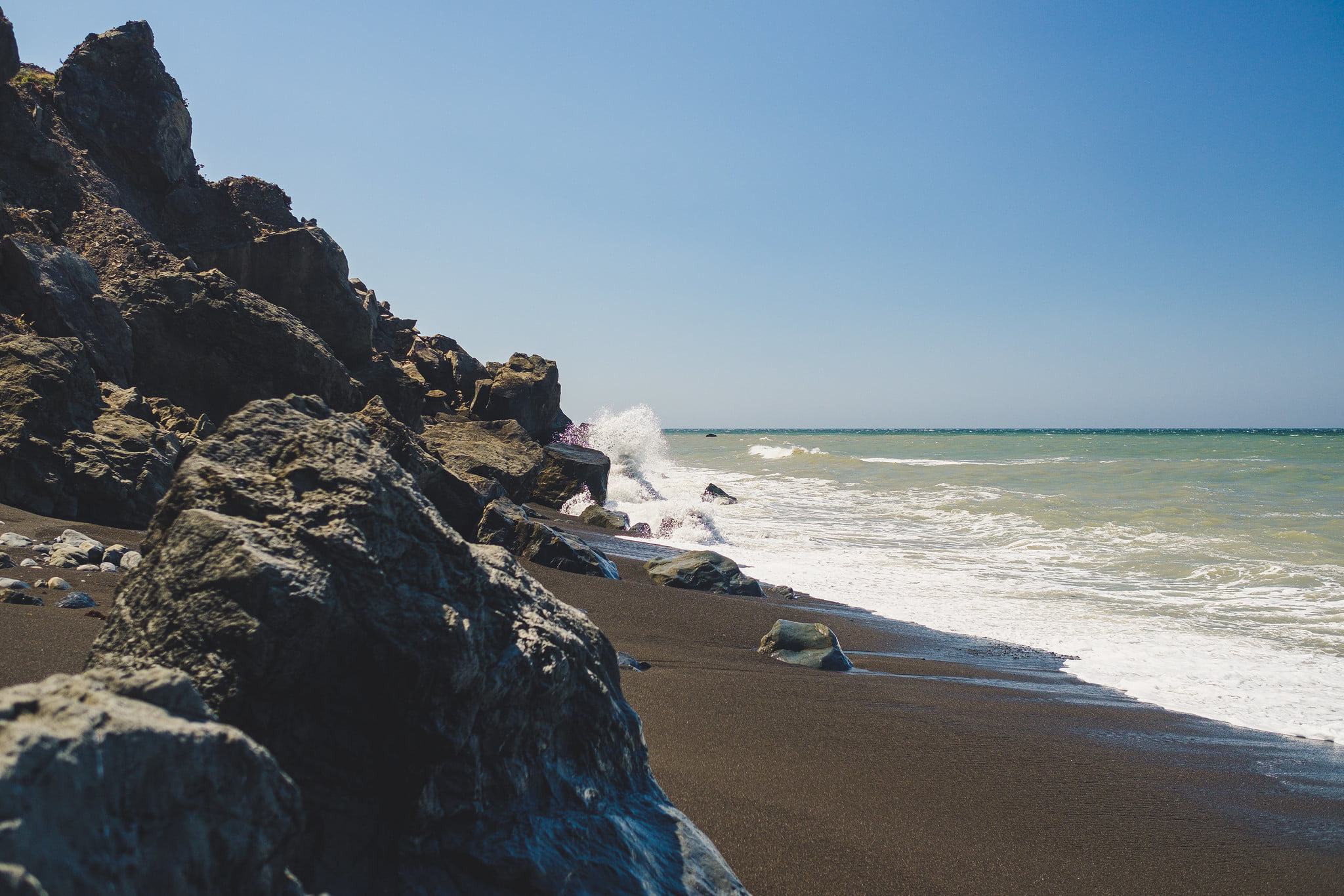
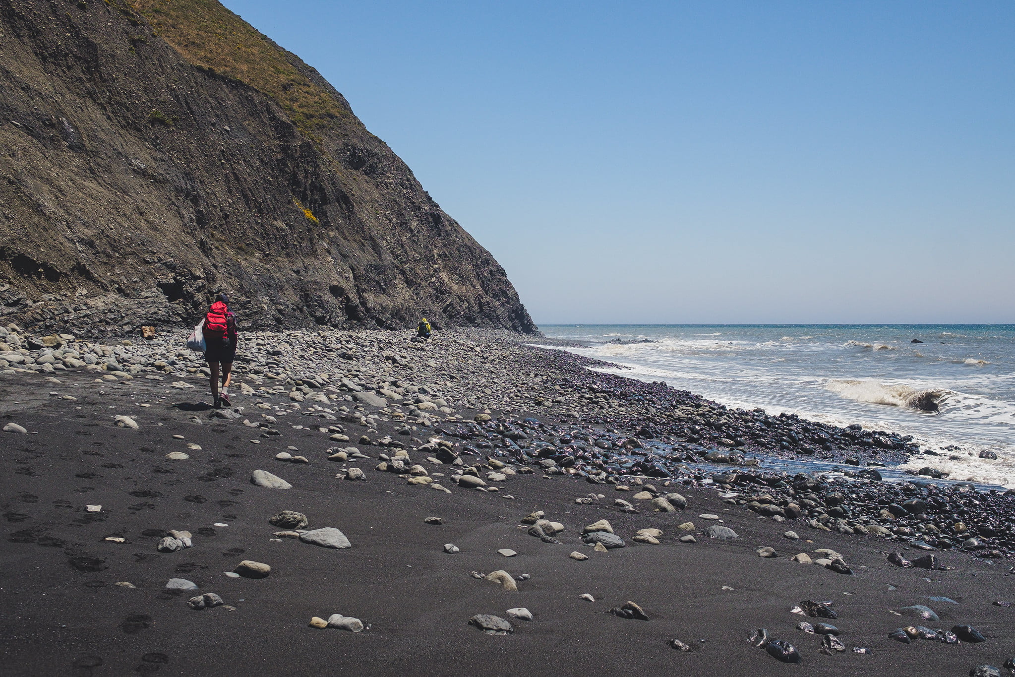
The trail disappears at certain times of the day, swallowed by the ocean at high tide. Because of that, a little bit of planning is mandatory, and to be aware of the high/low tide hours. Here’s a little draft of the plan we used (thanks Mikael!)
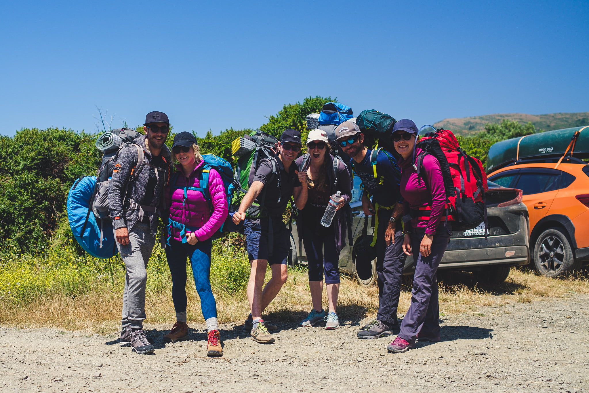
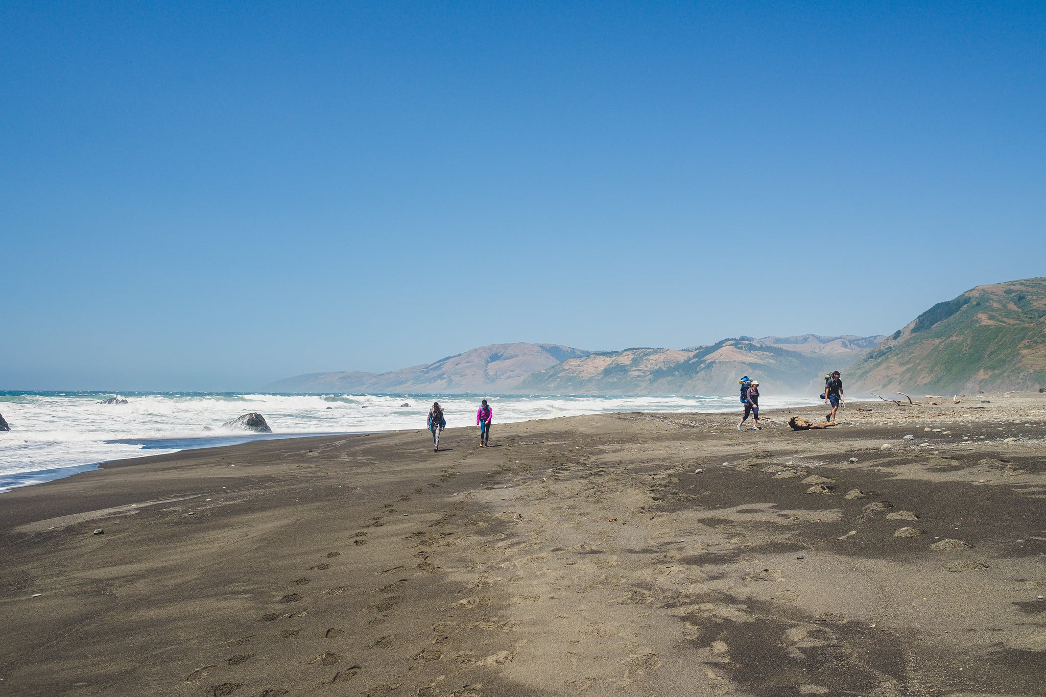
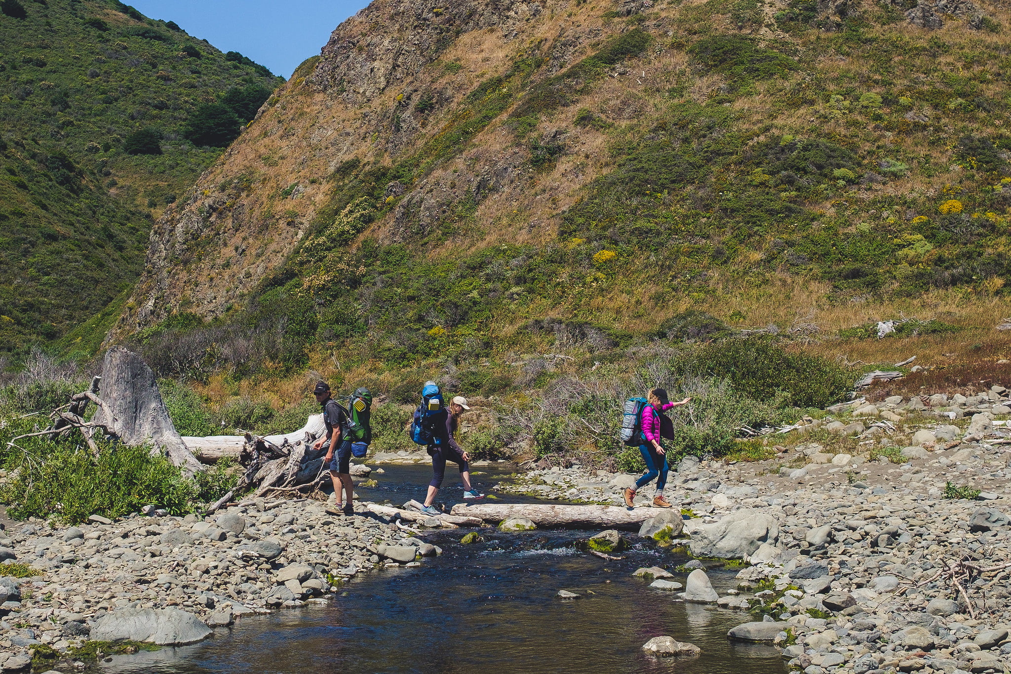
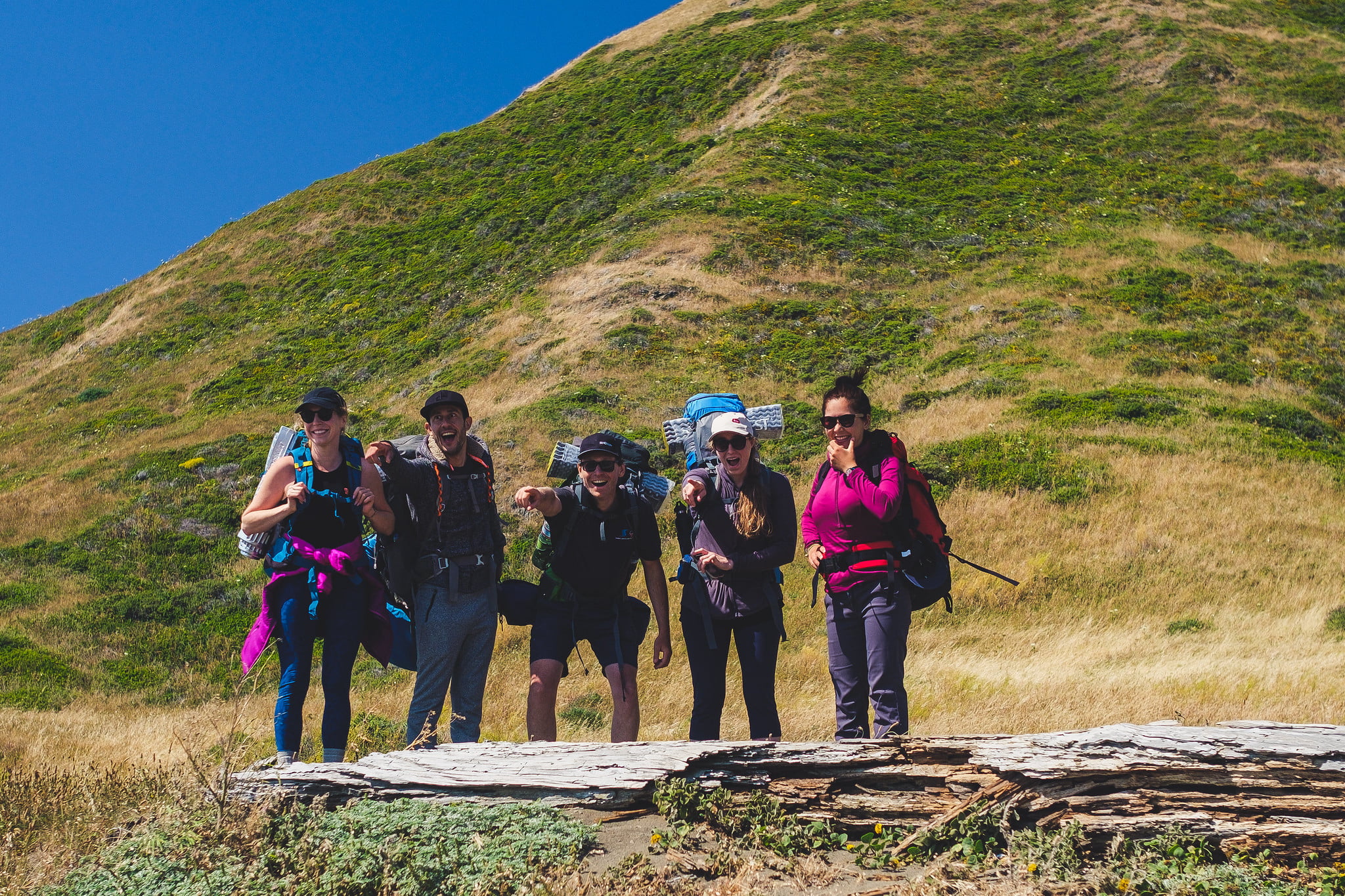
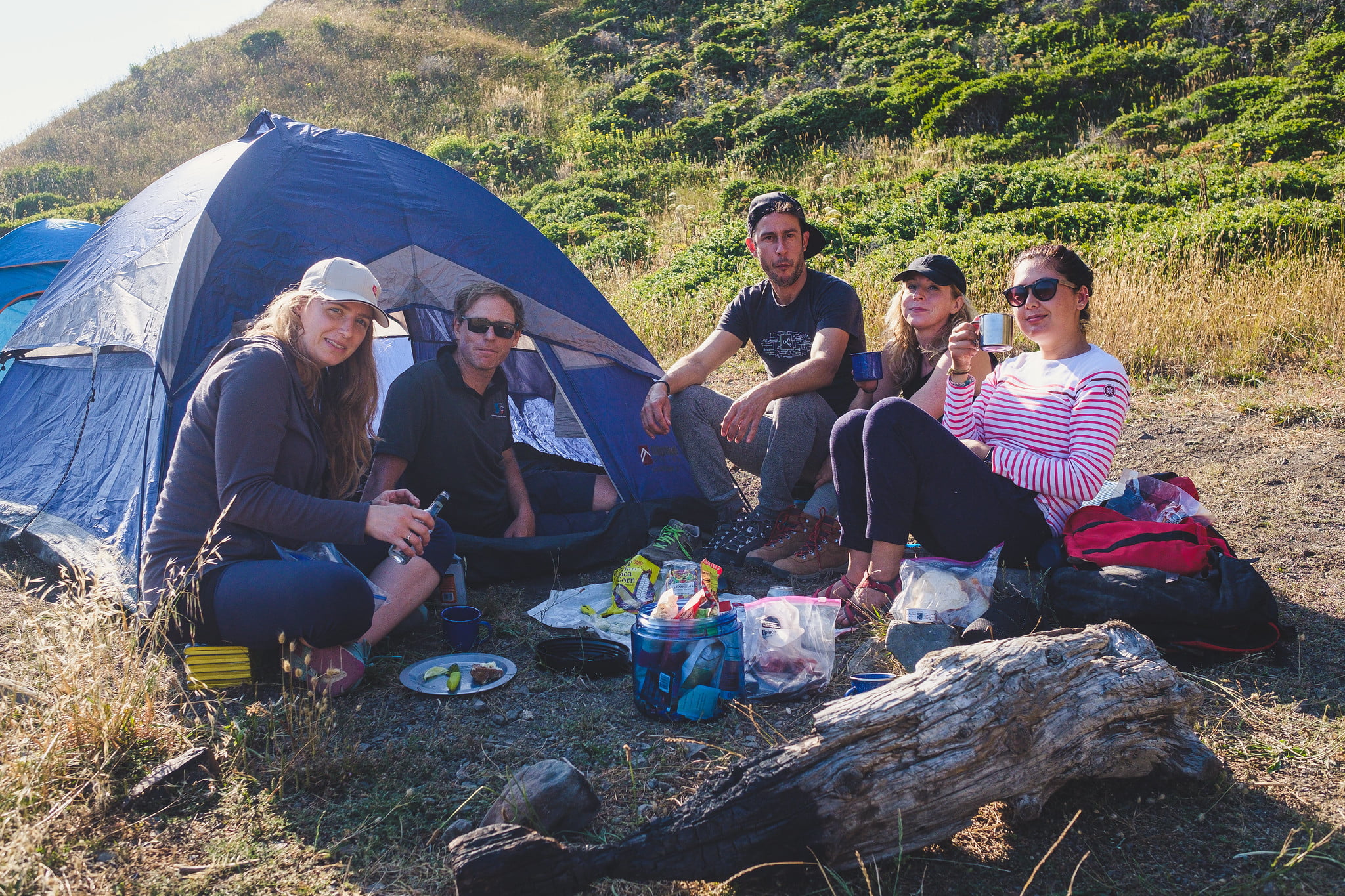
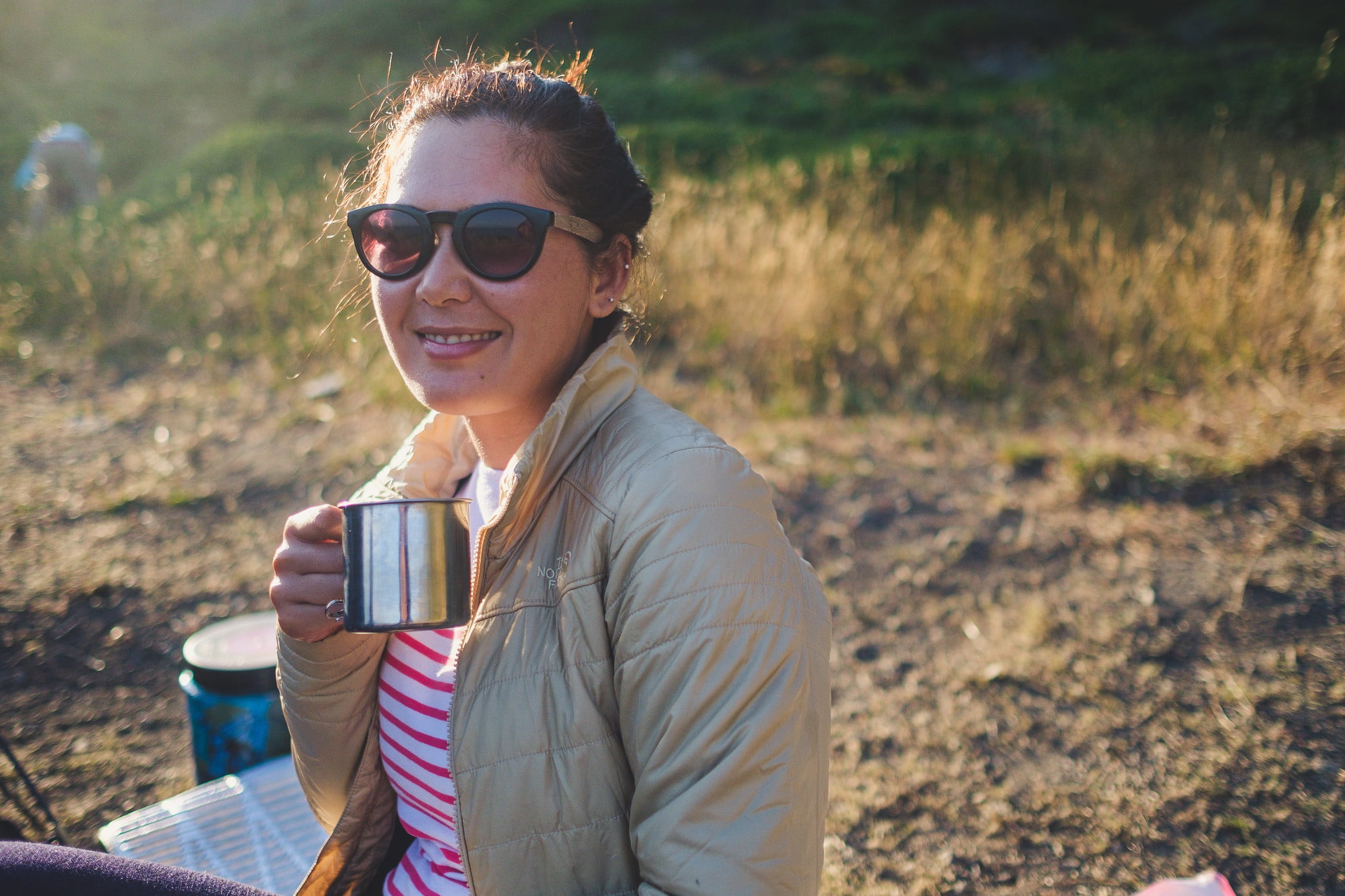
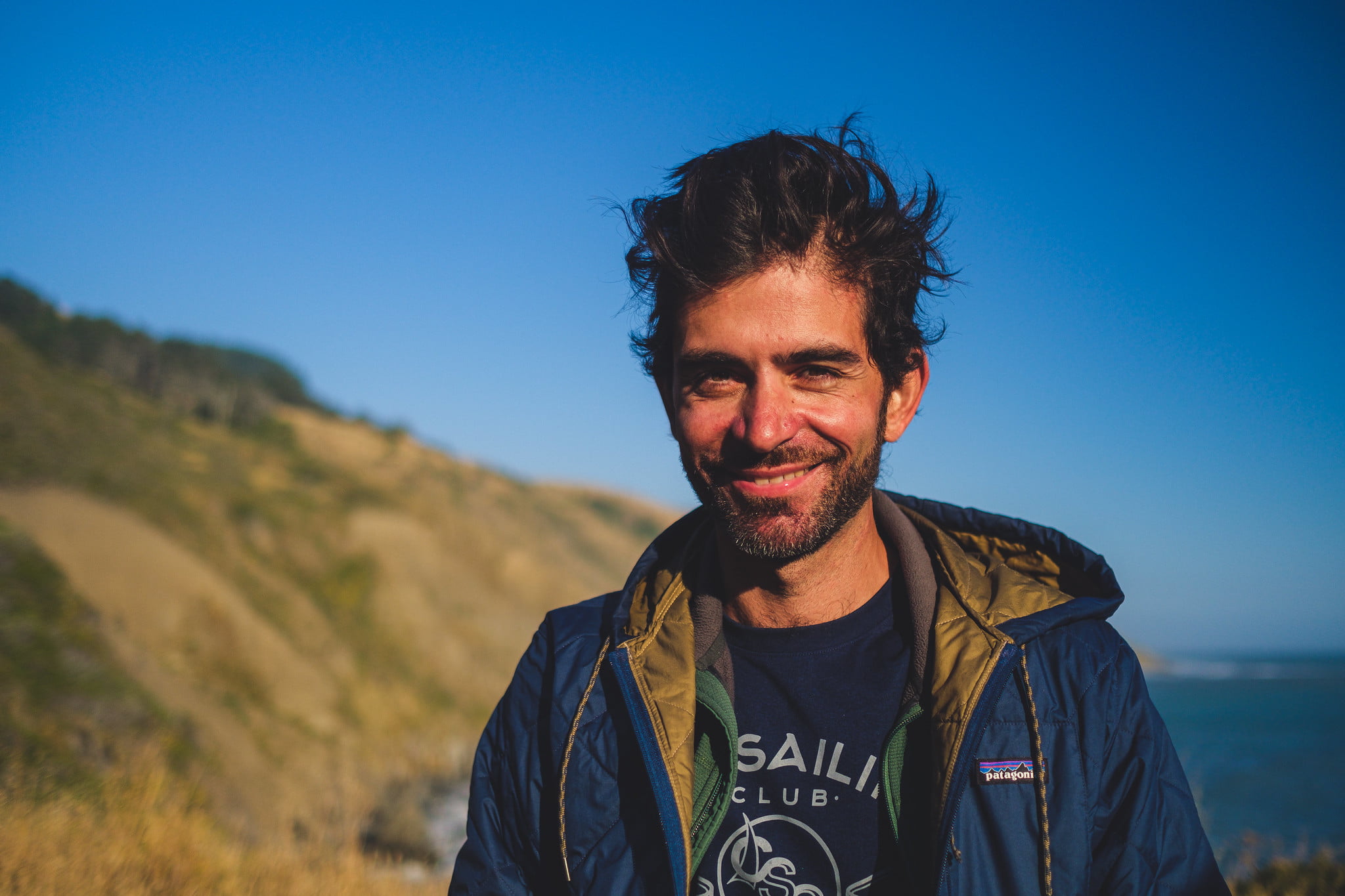
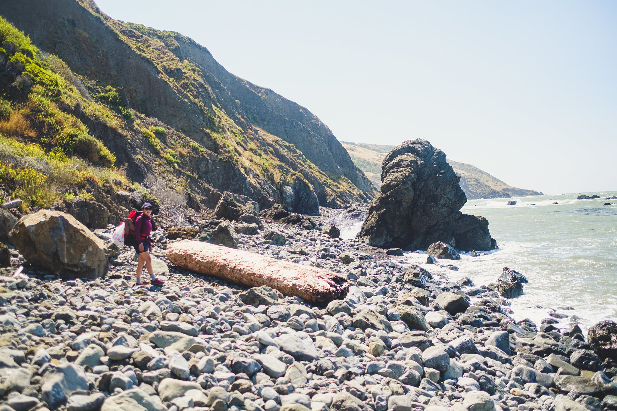
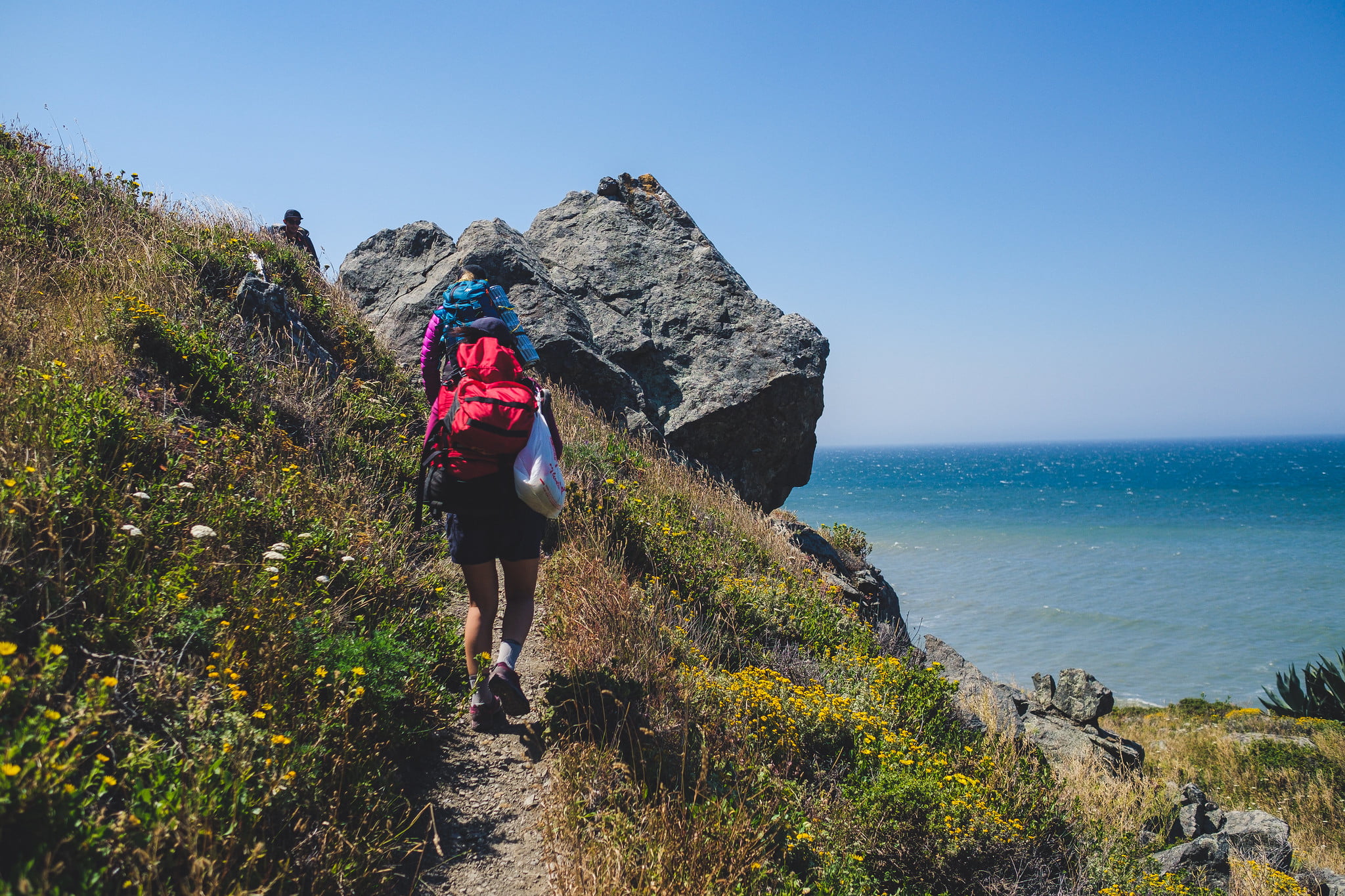
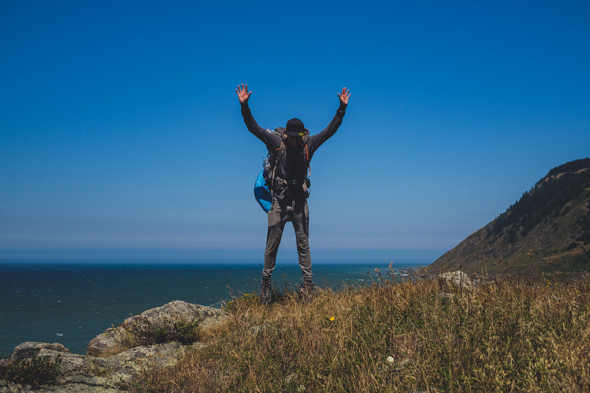
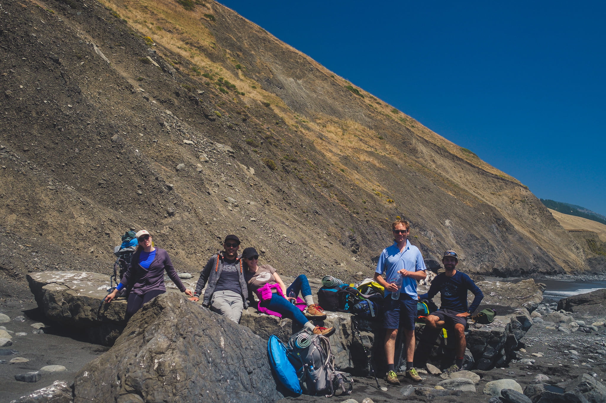
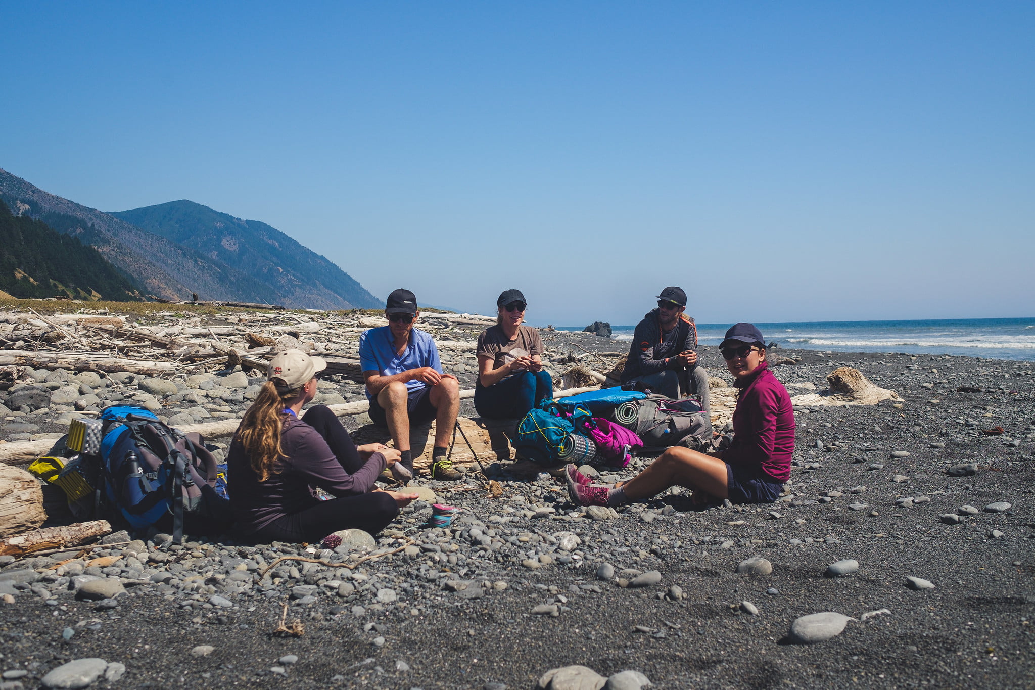
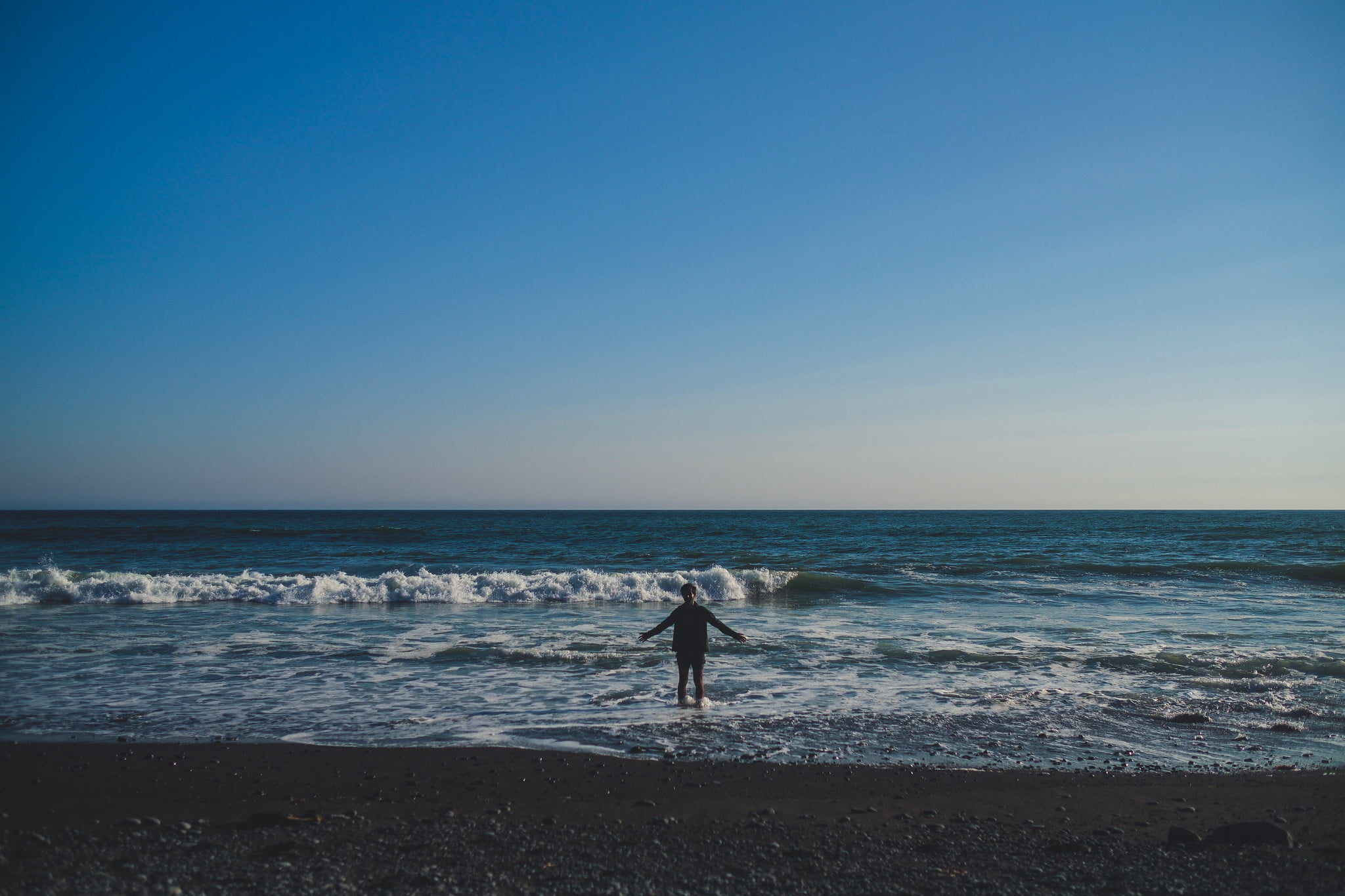
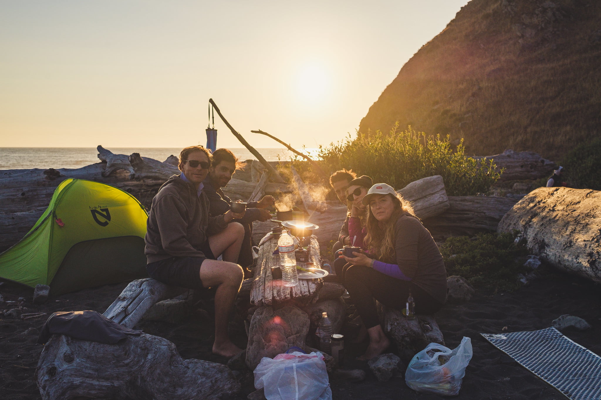
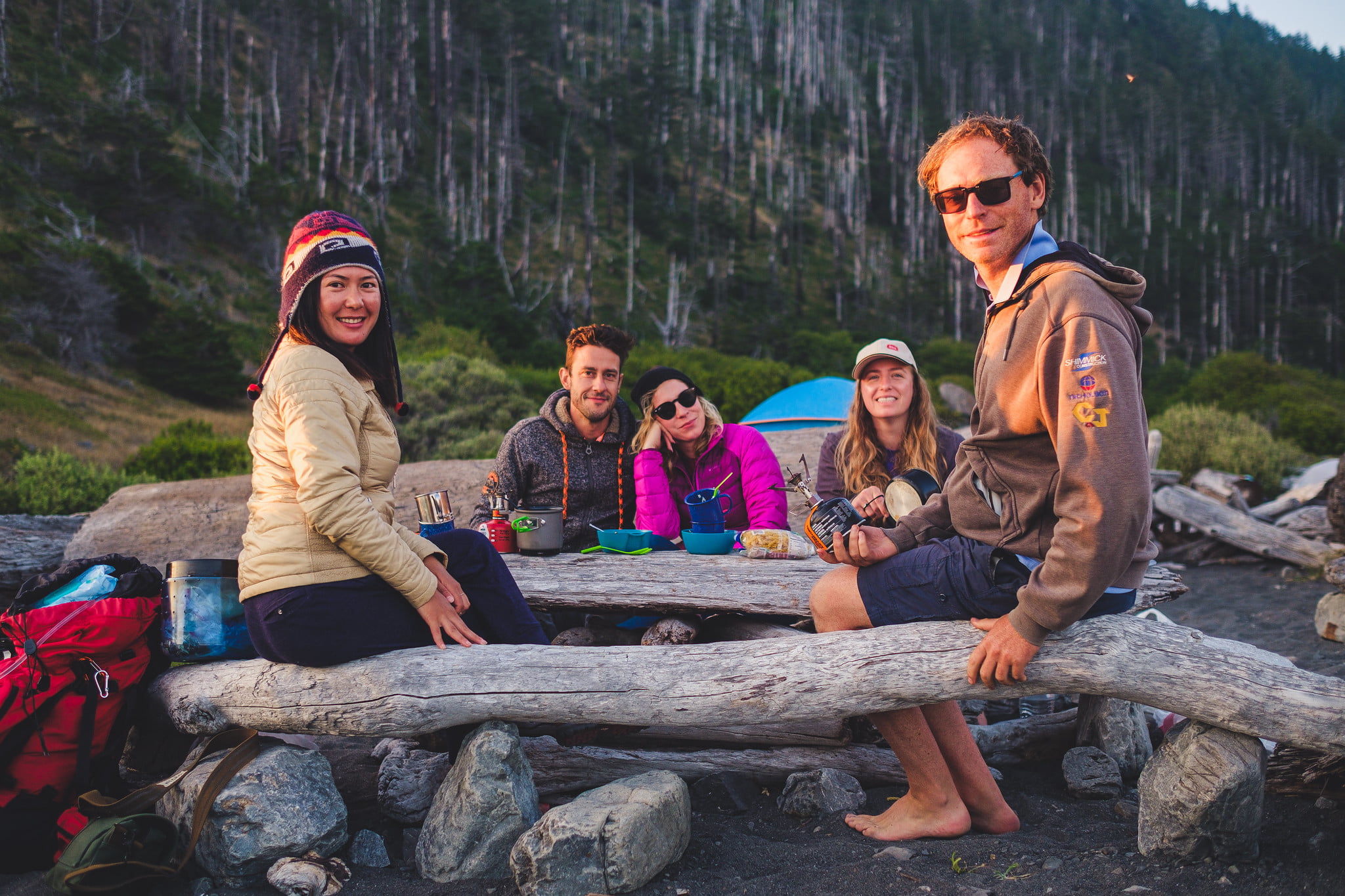
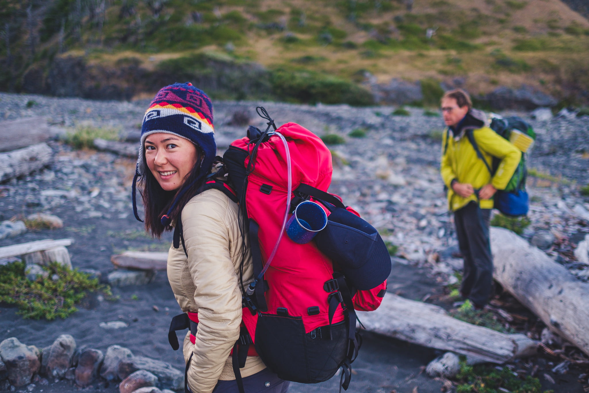
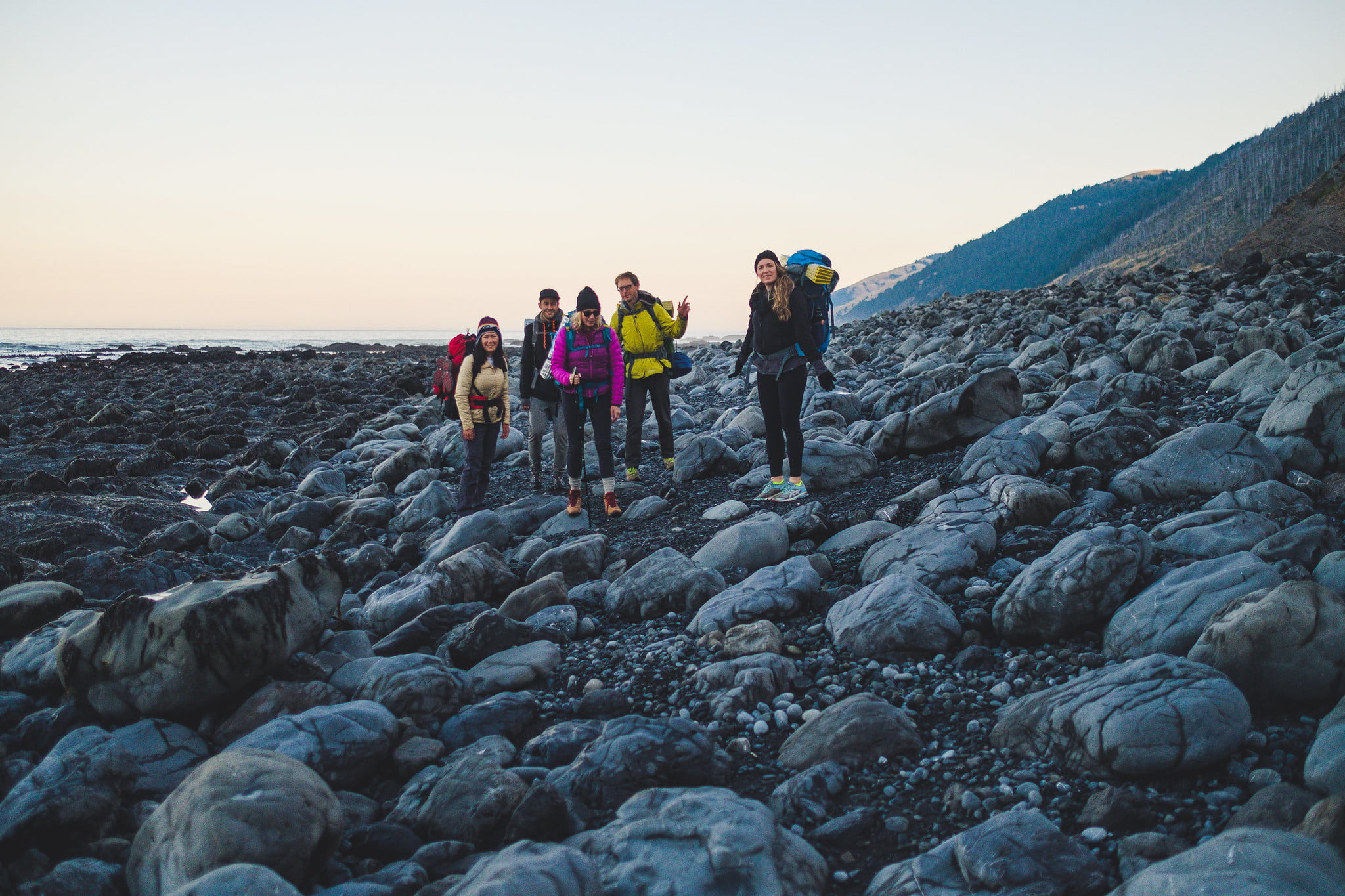
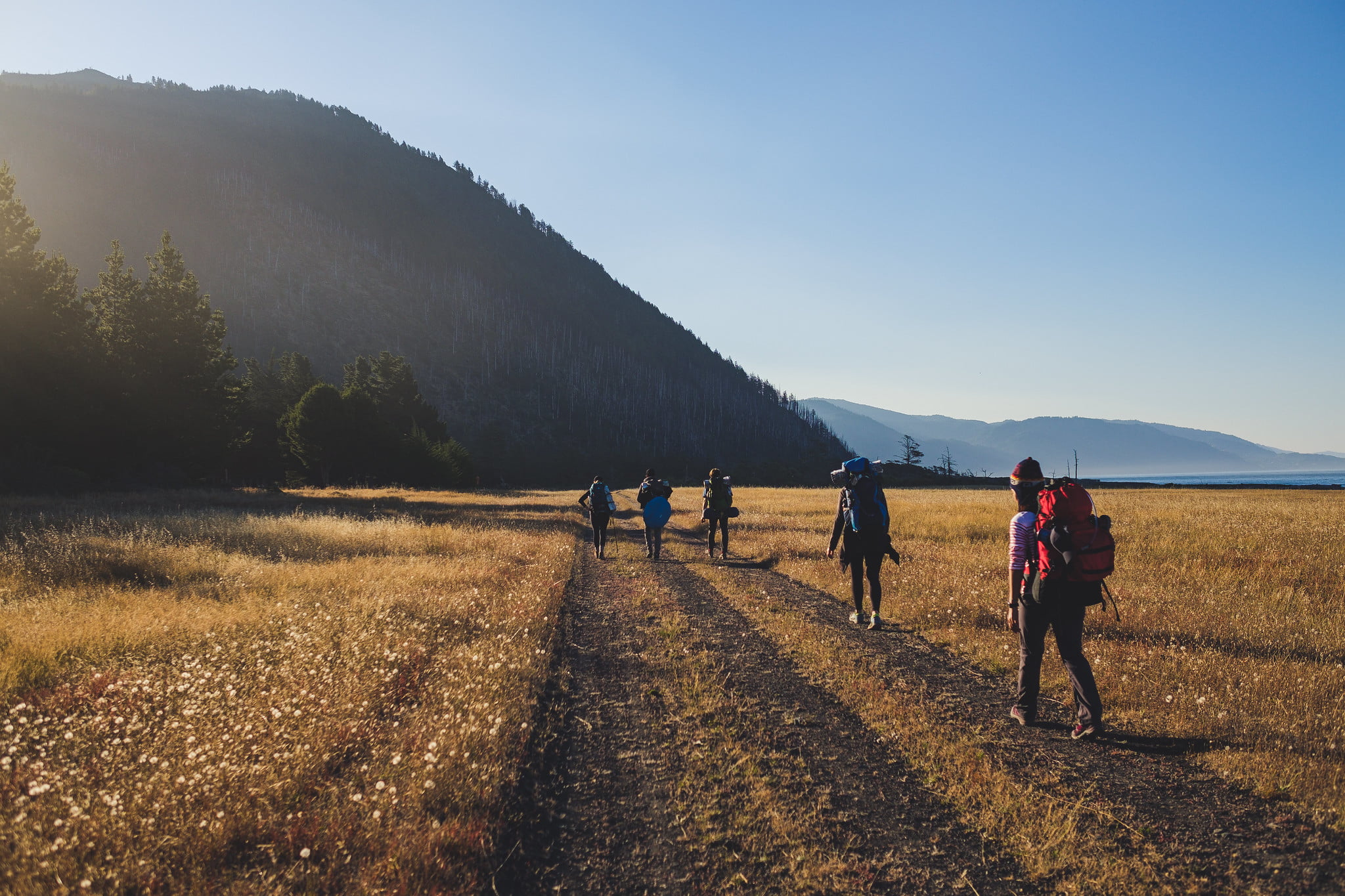
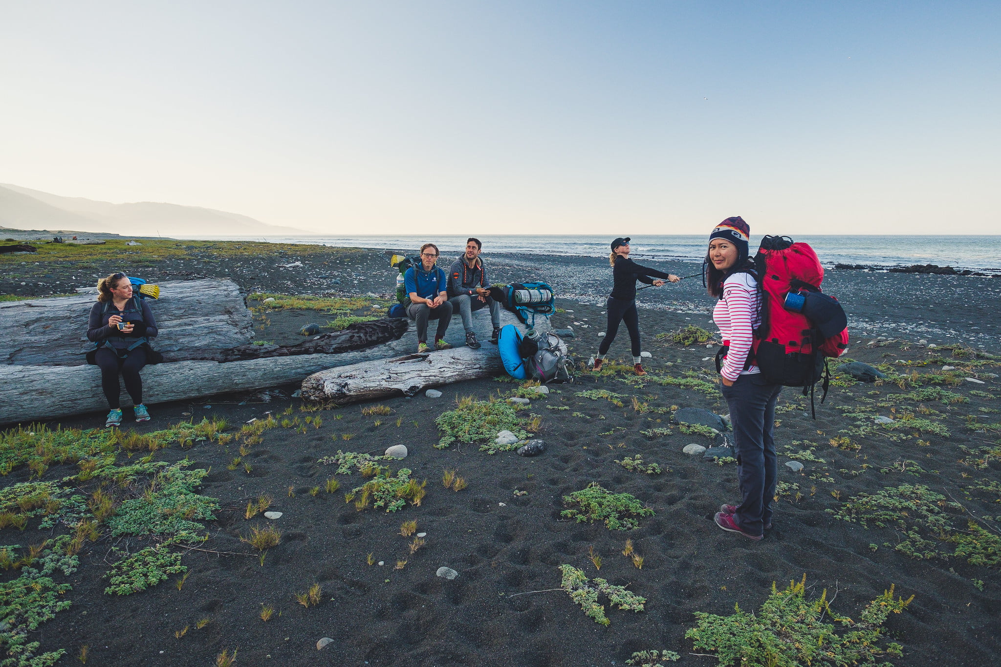
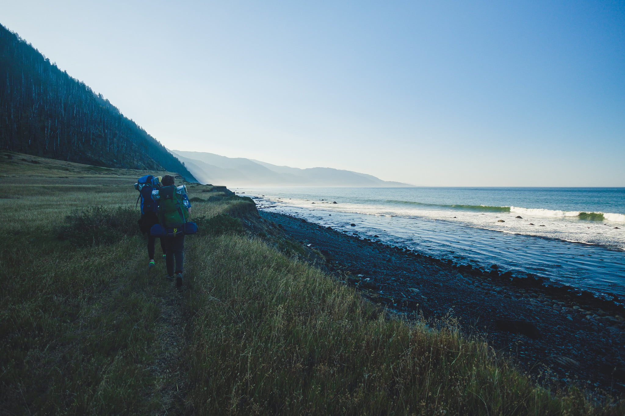
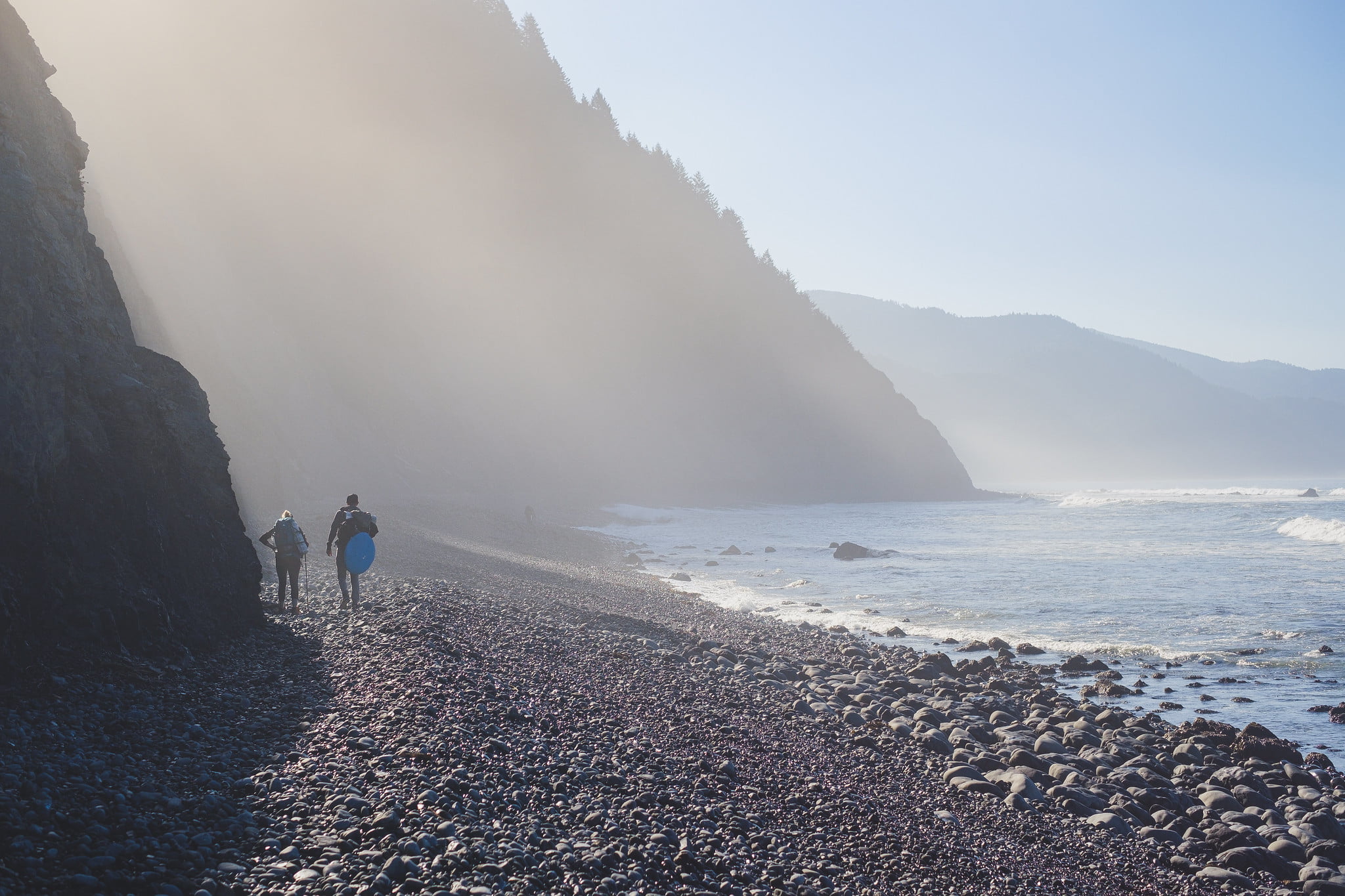
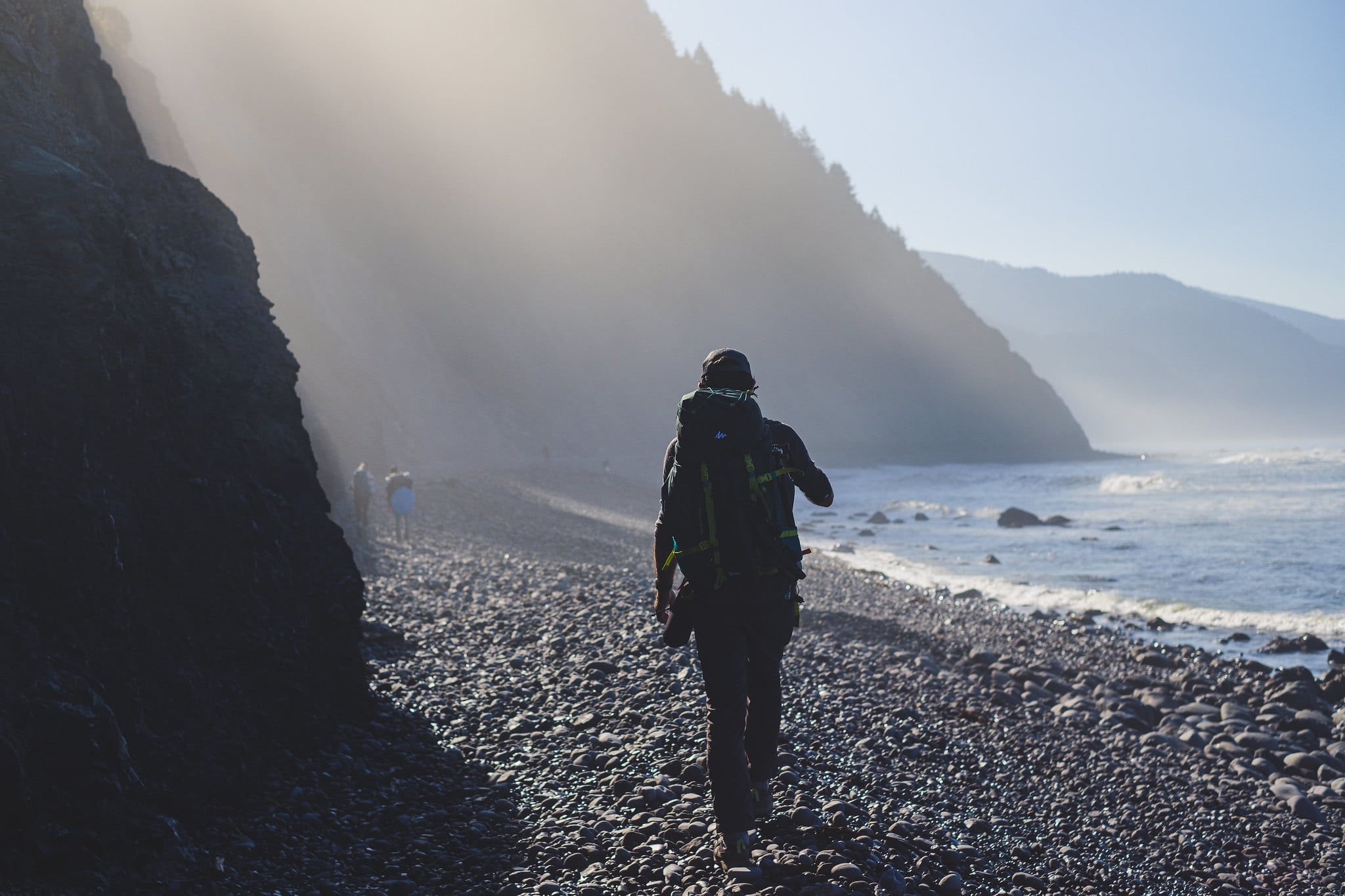
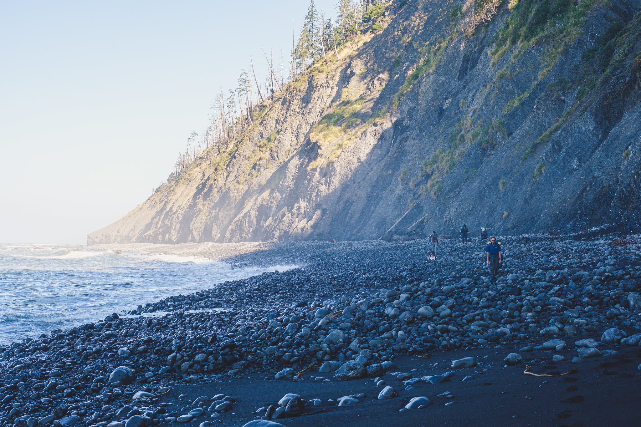
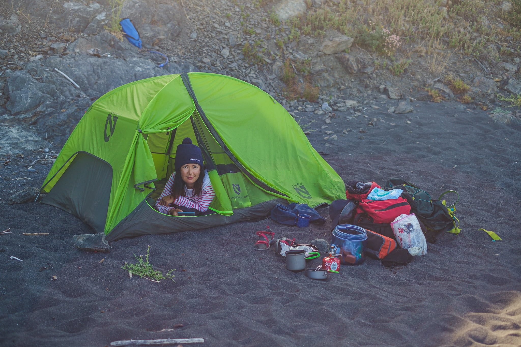
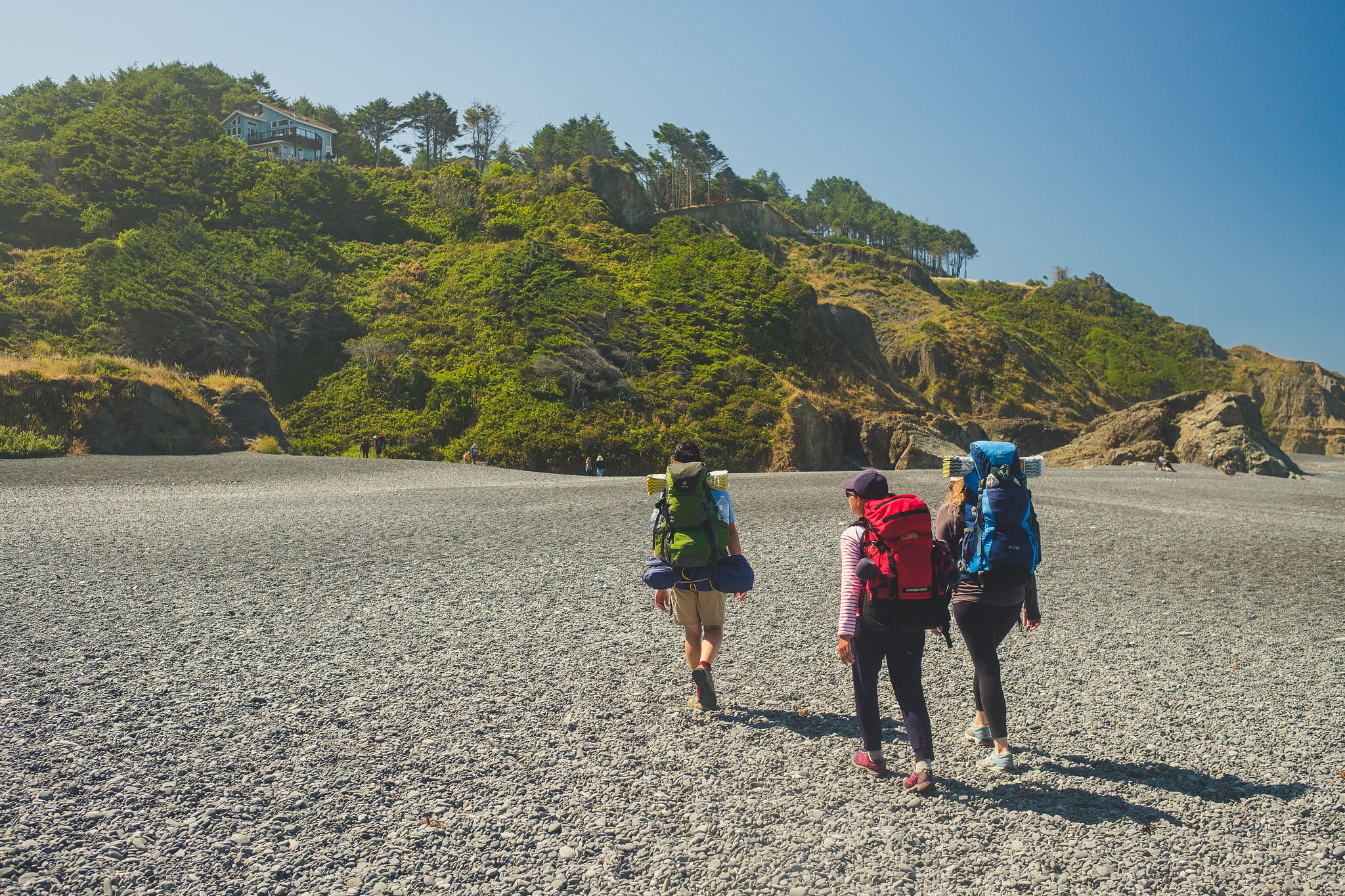
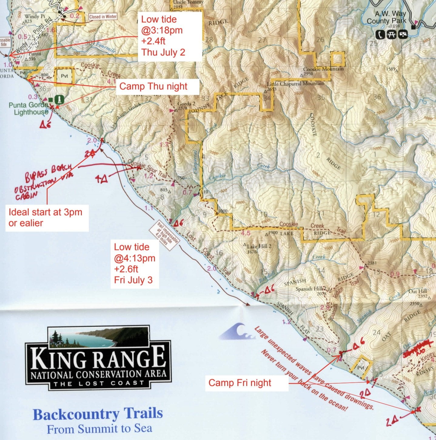 We spent 4 days hiking from North to South, walking about 50 km, from Matthole Beach (named after the Native American tribe that inhabited the area) to Shelter Cove.
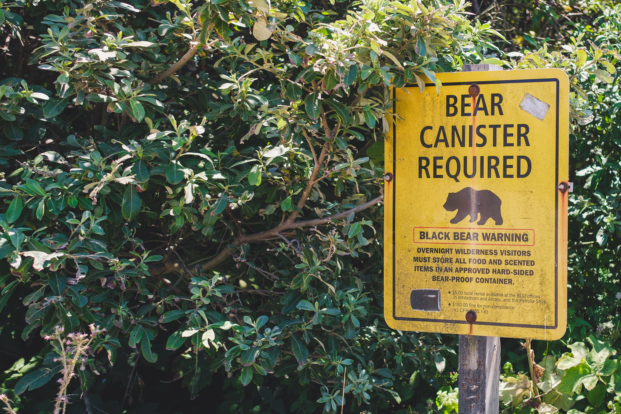
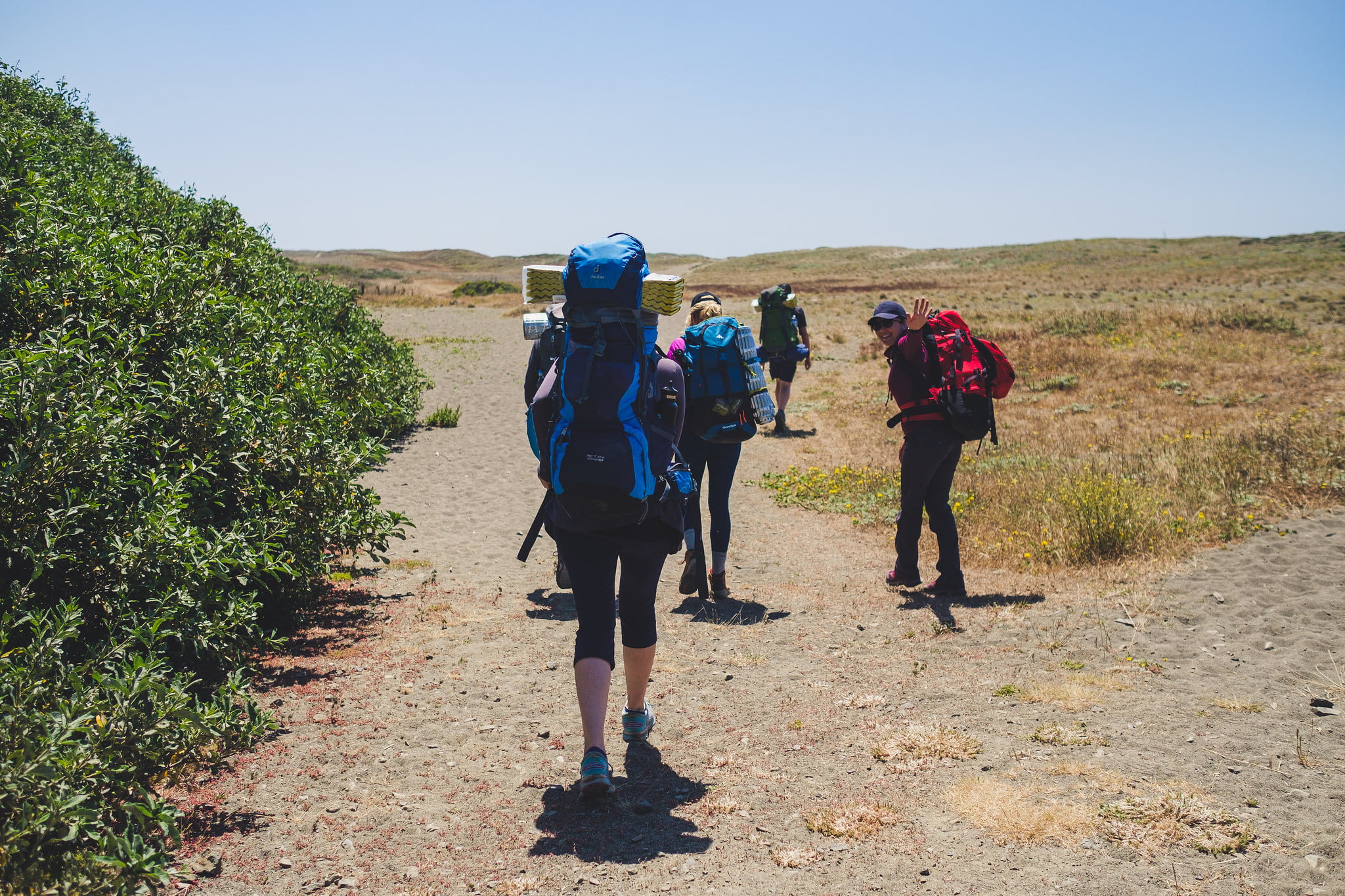
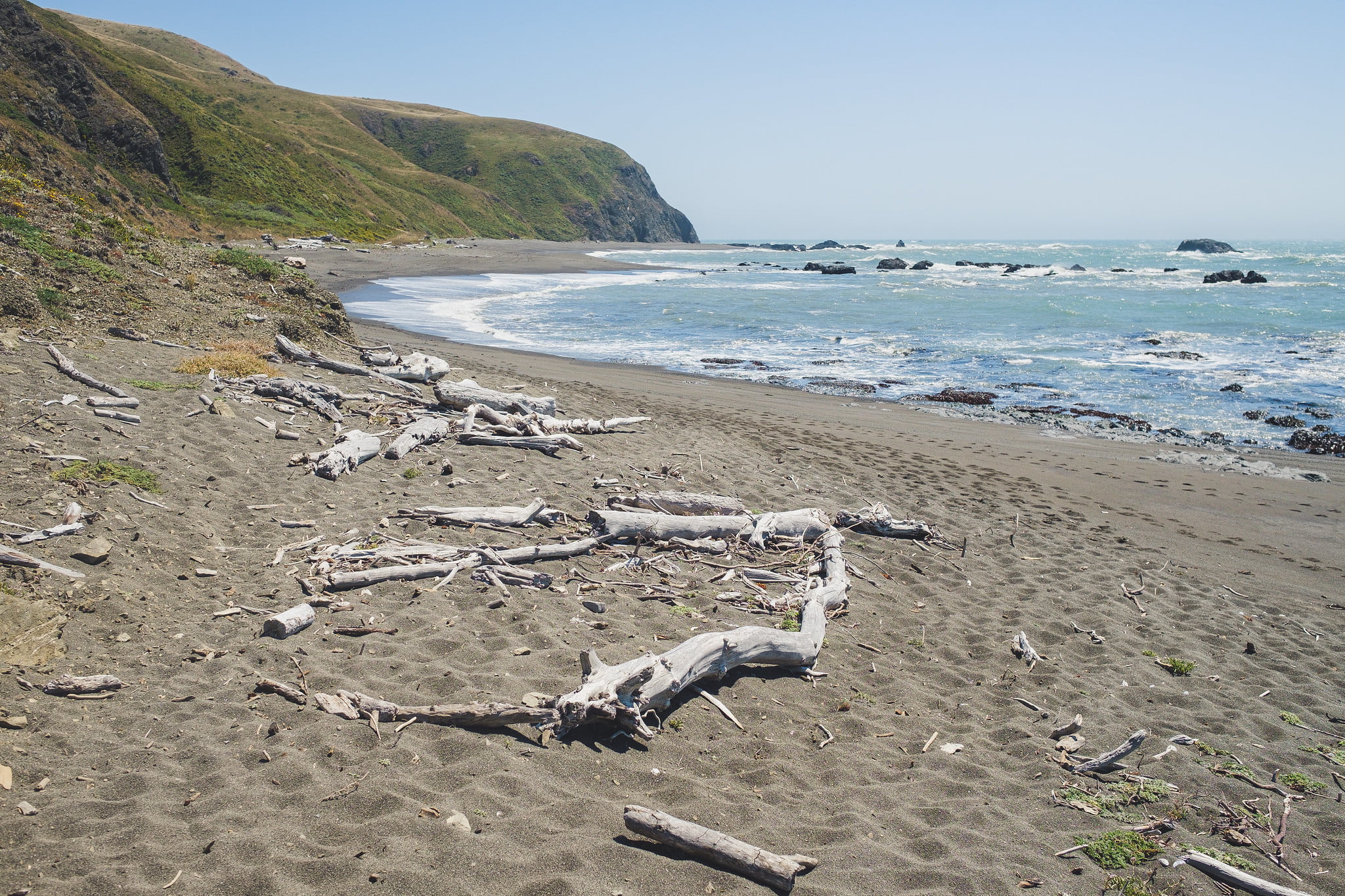
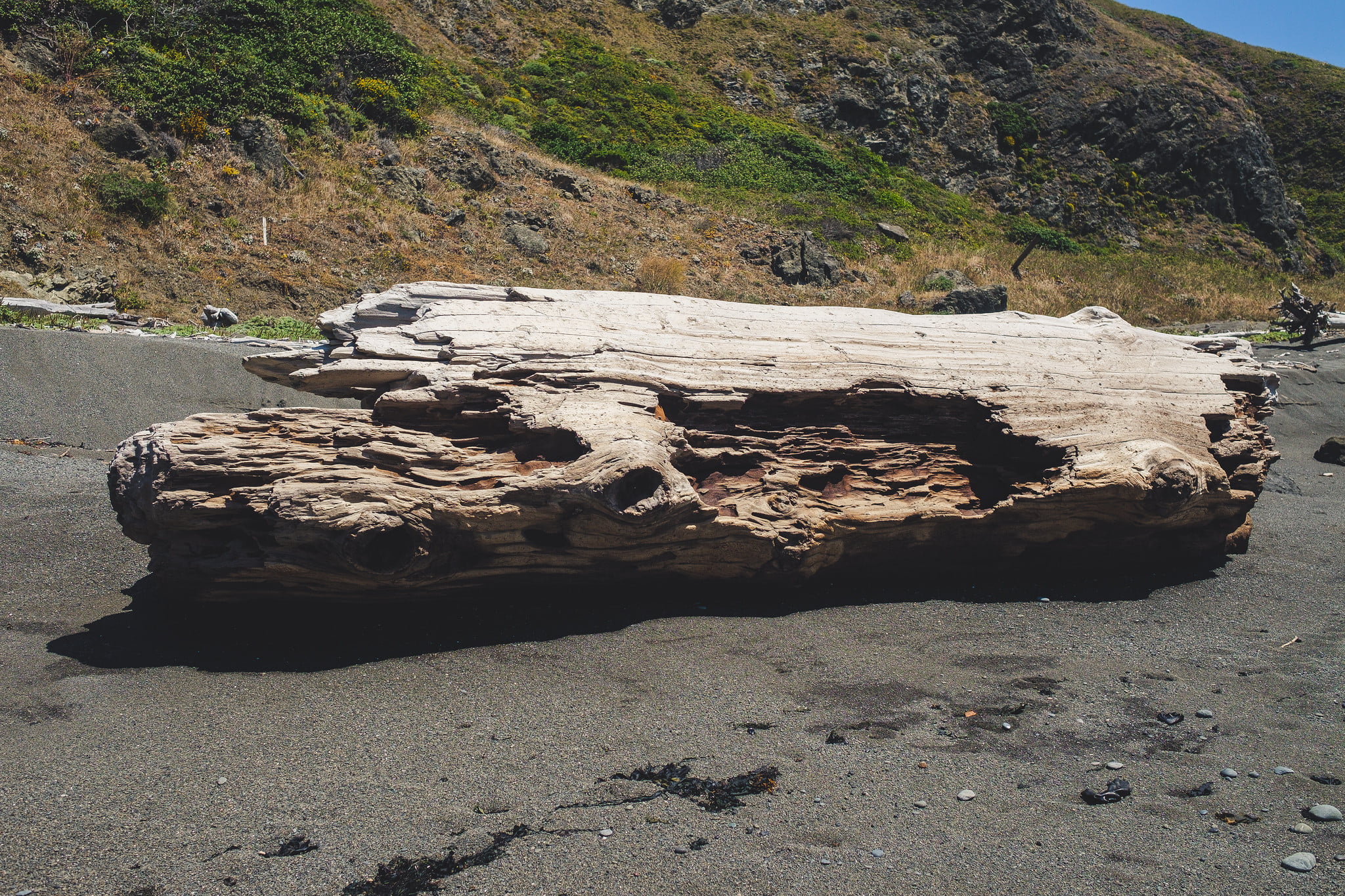
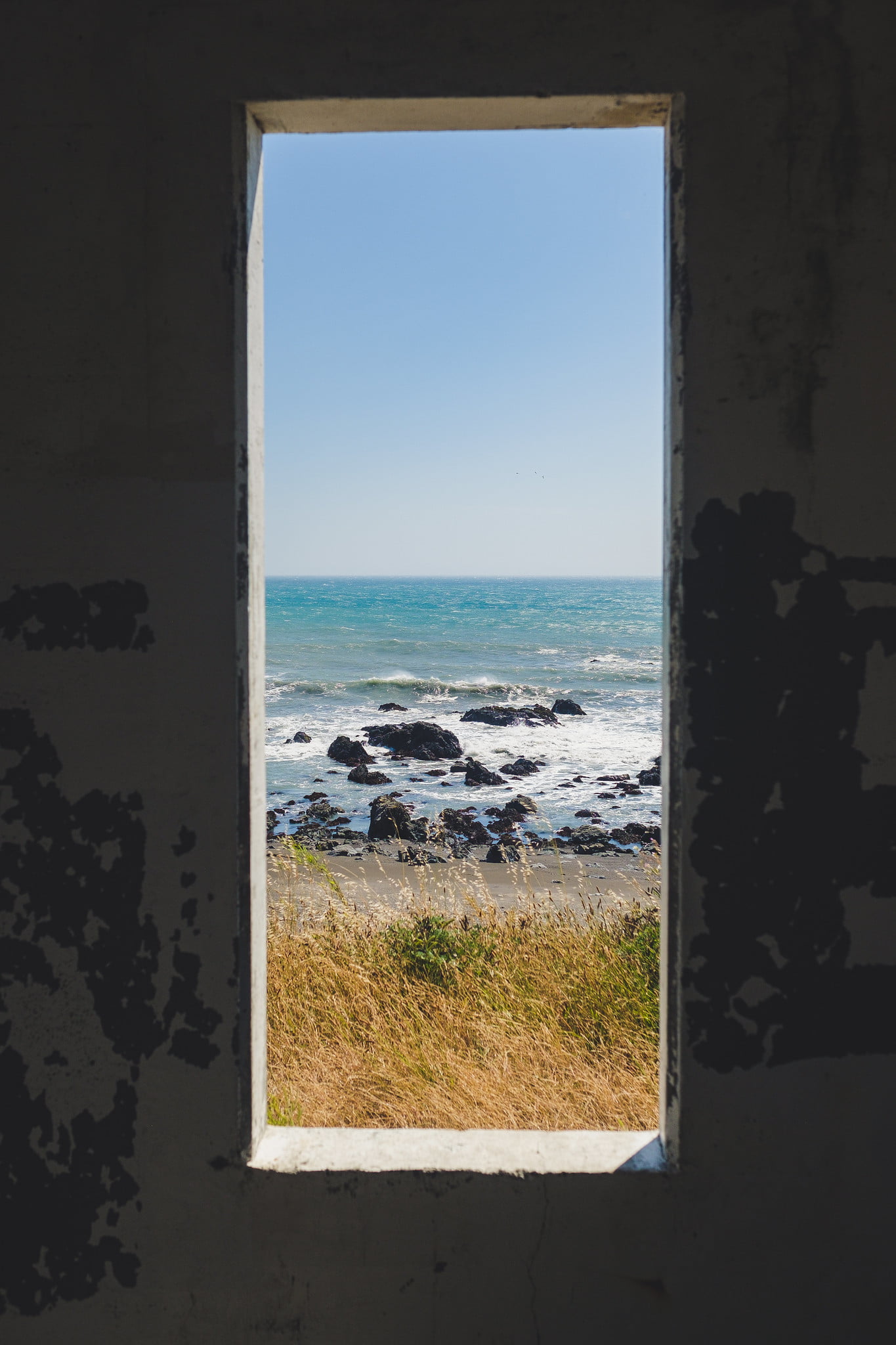
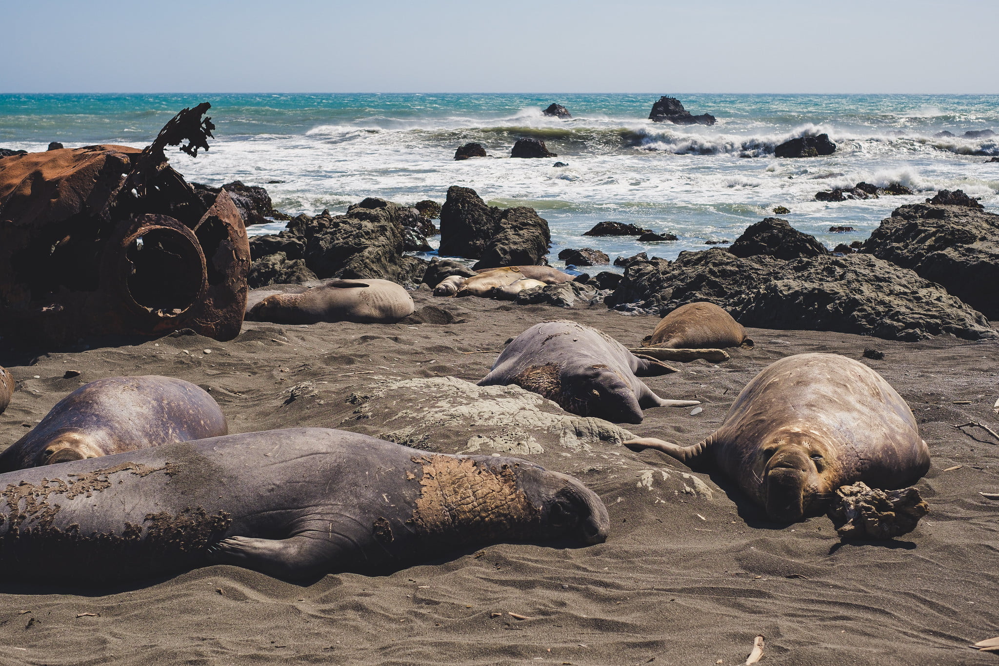
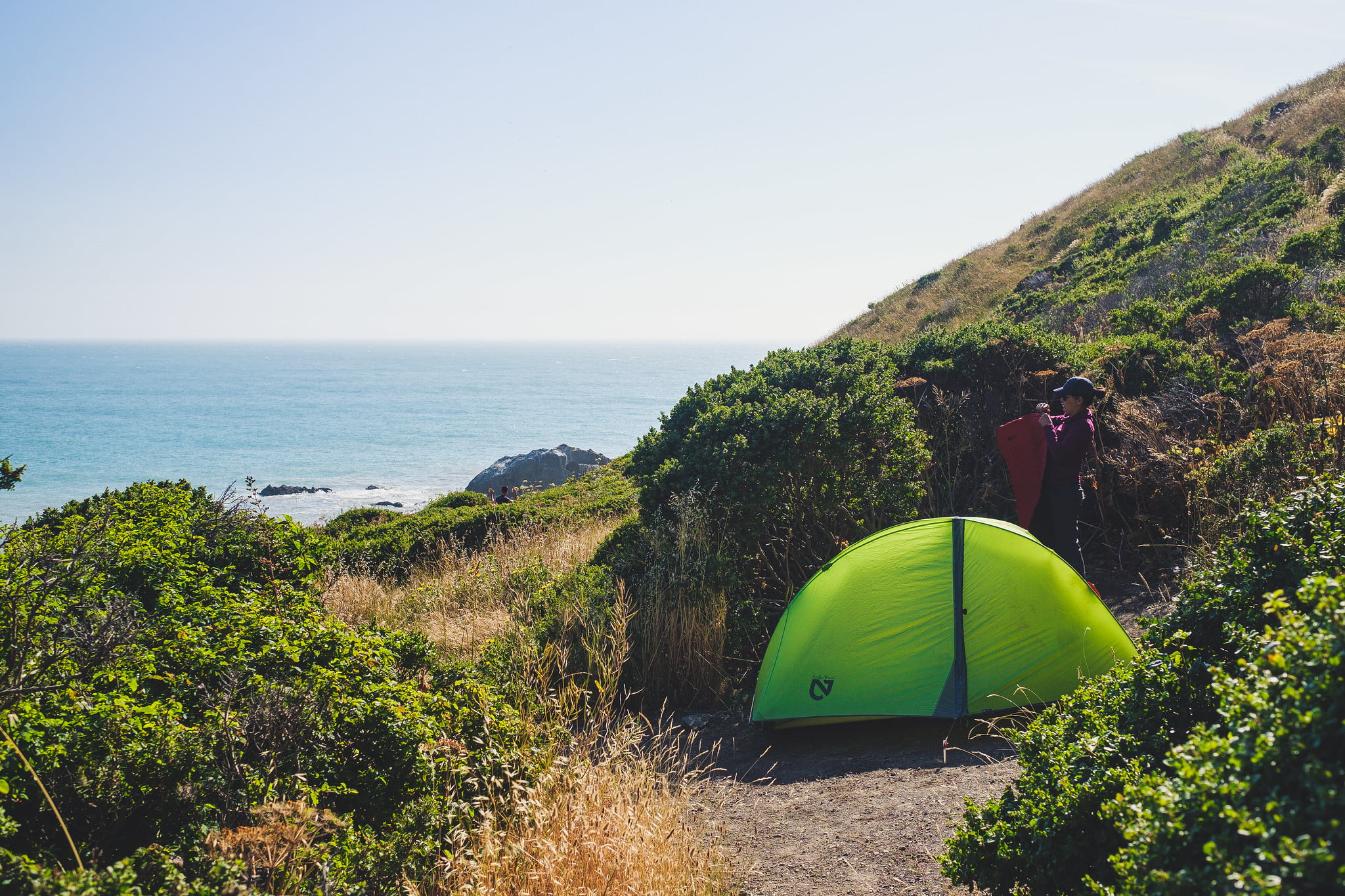
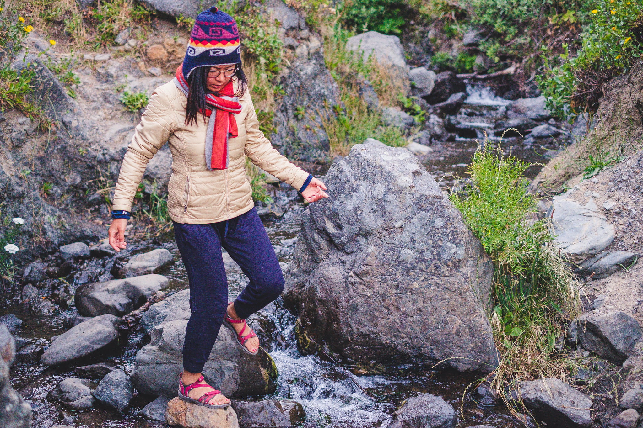
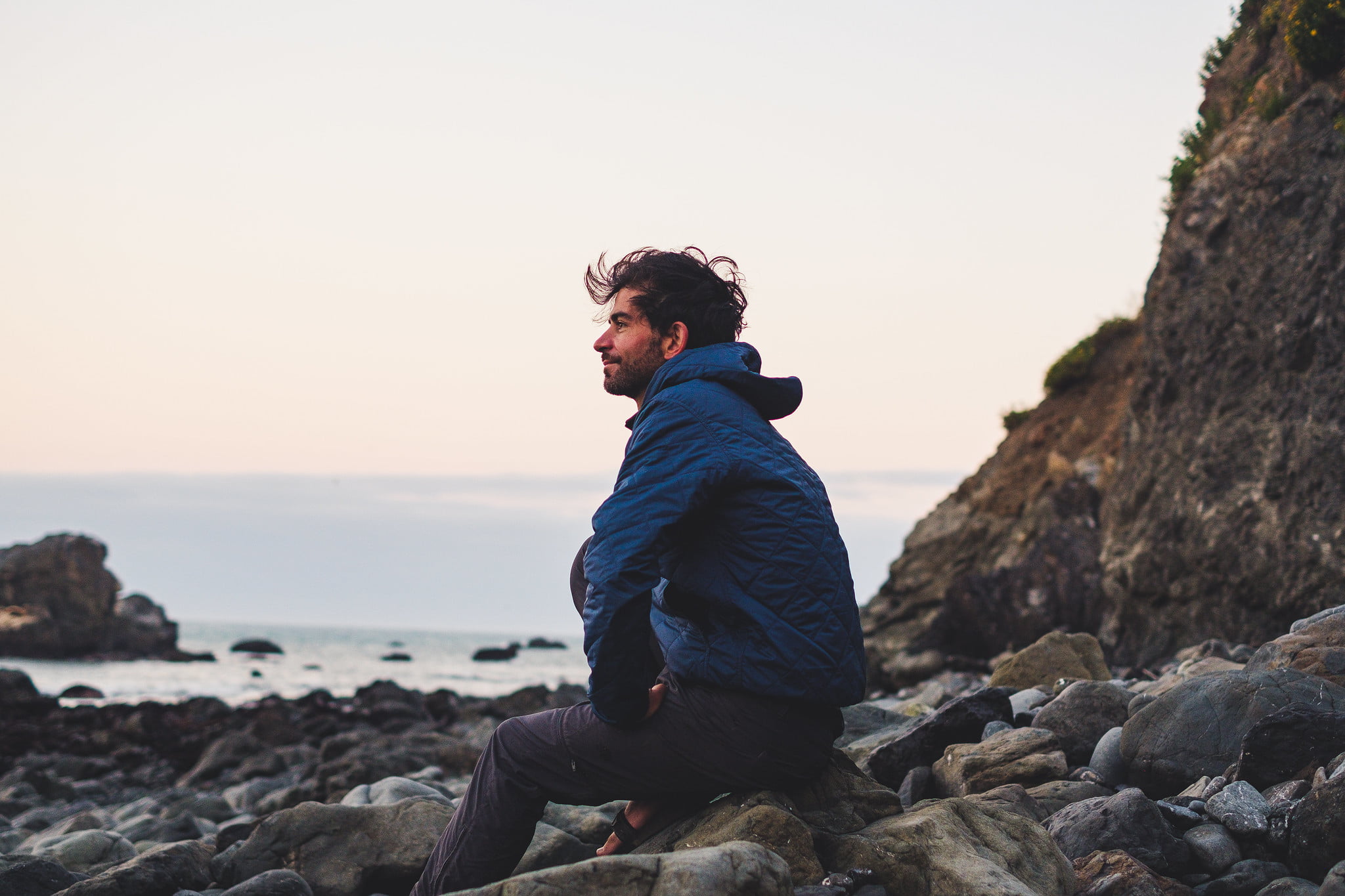
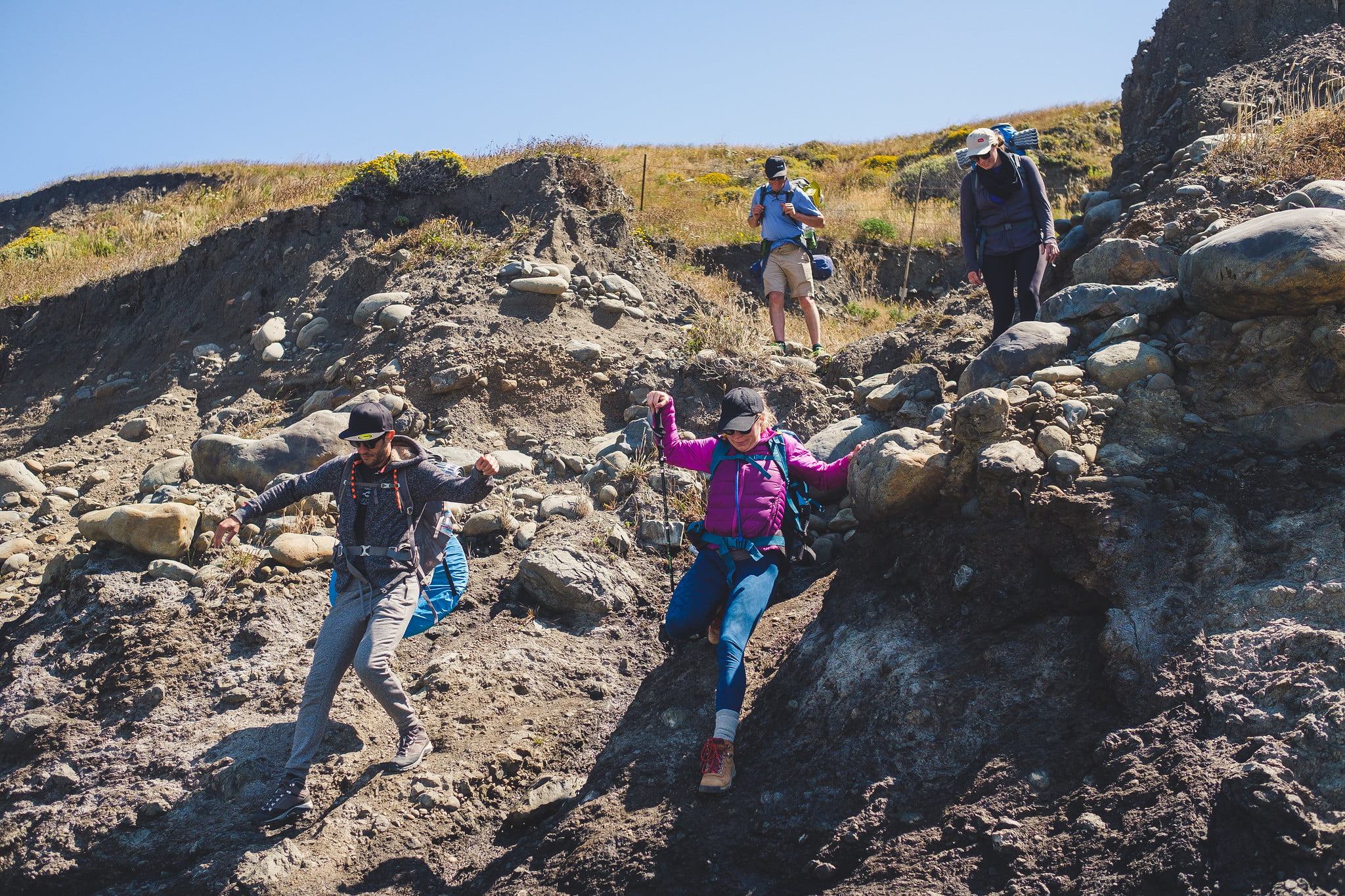
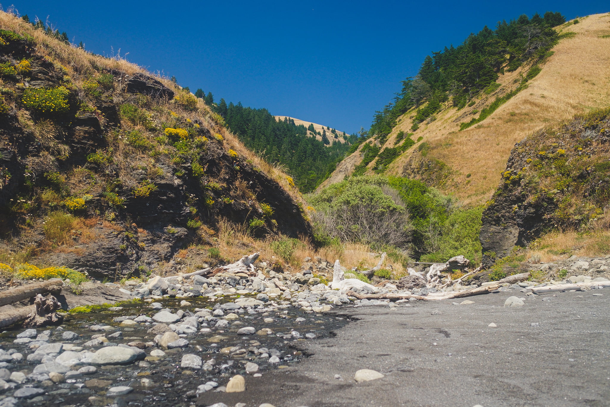
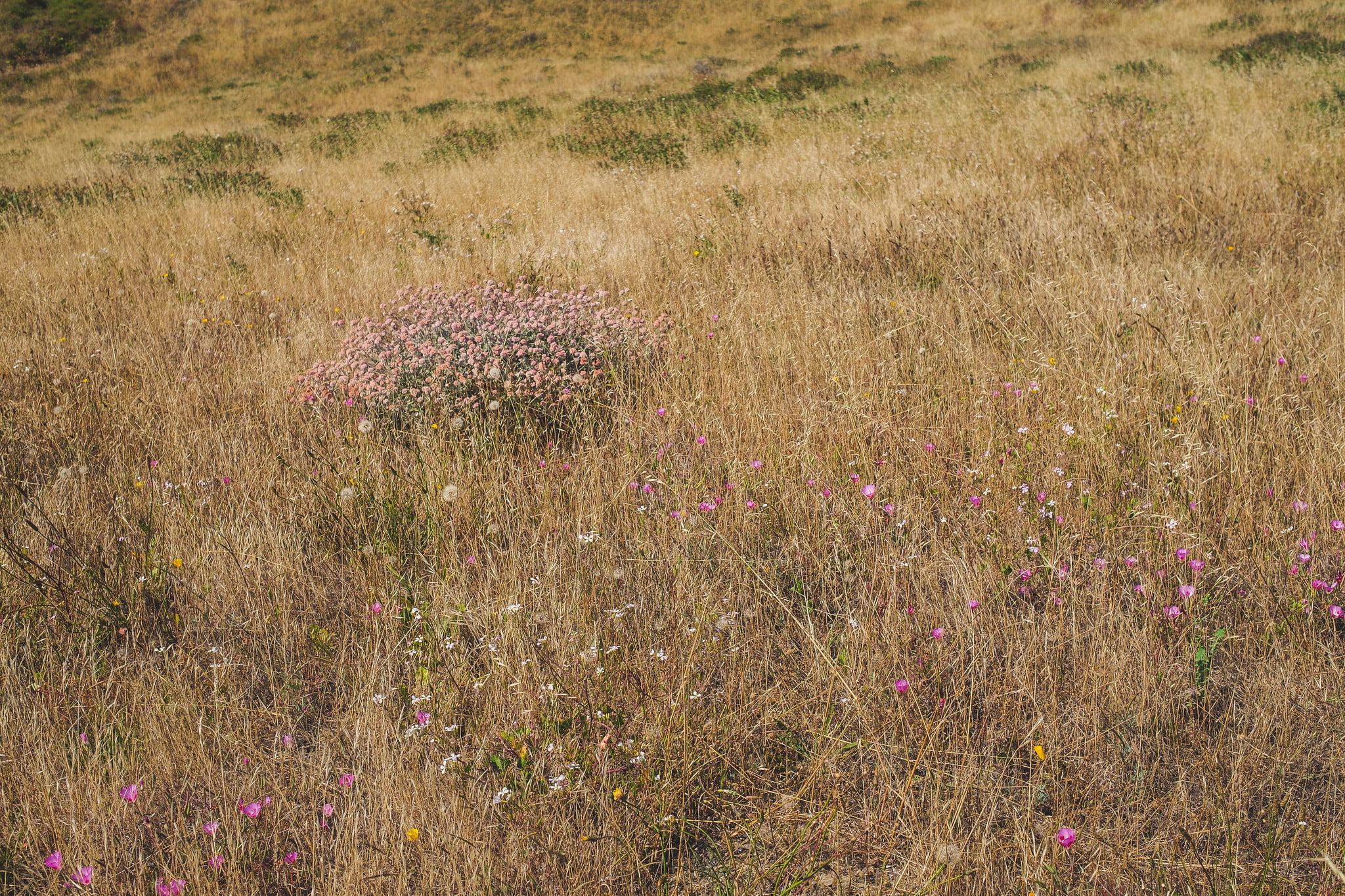
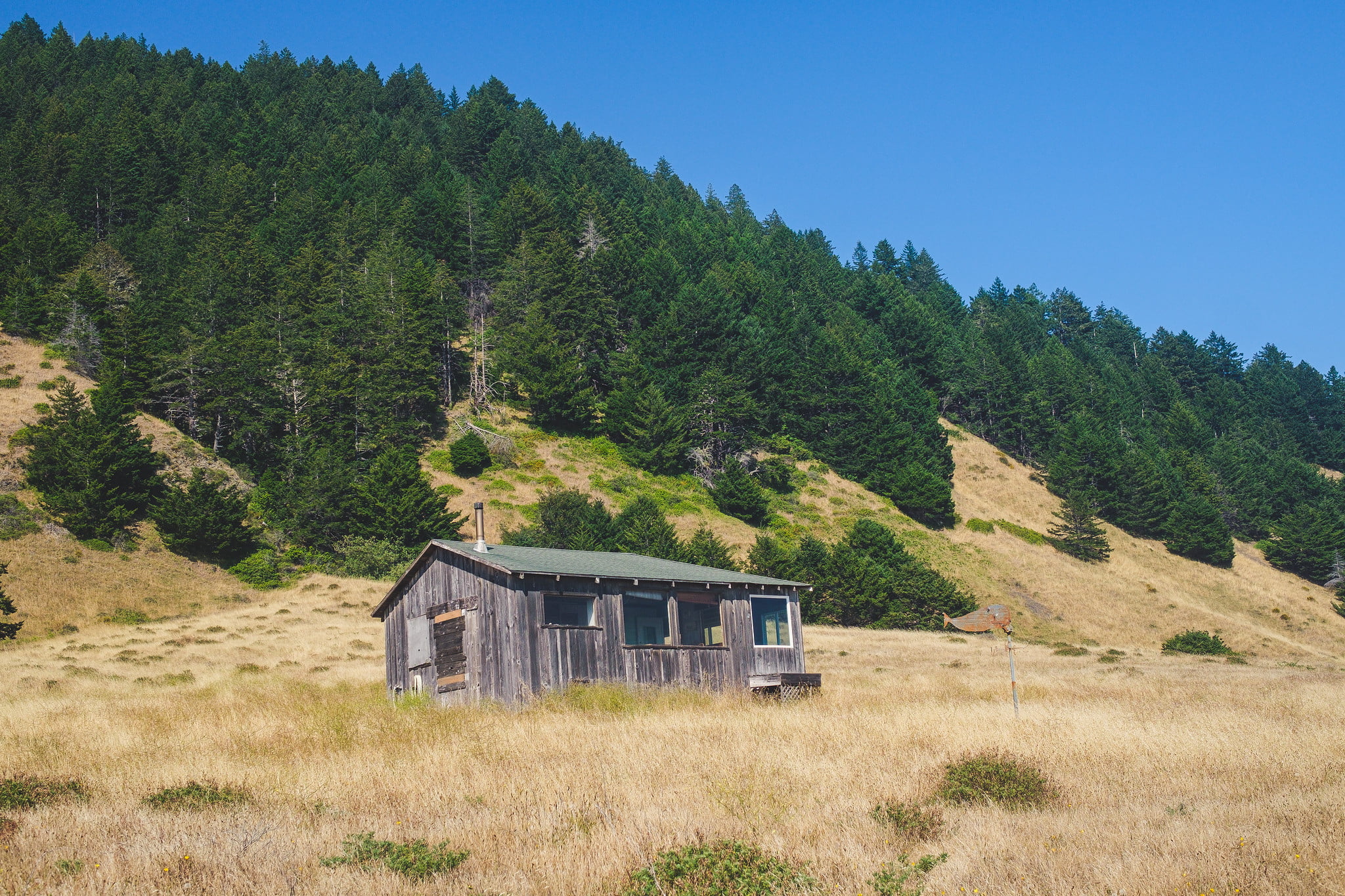
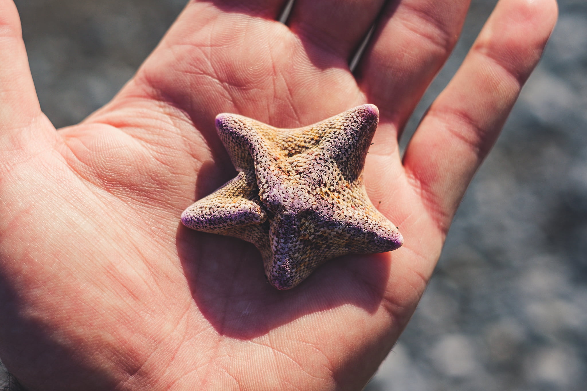
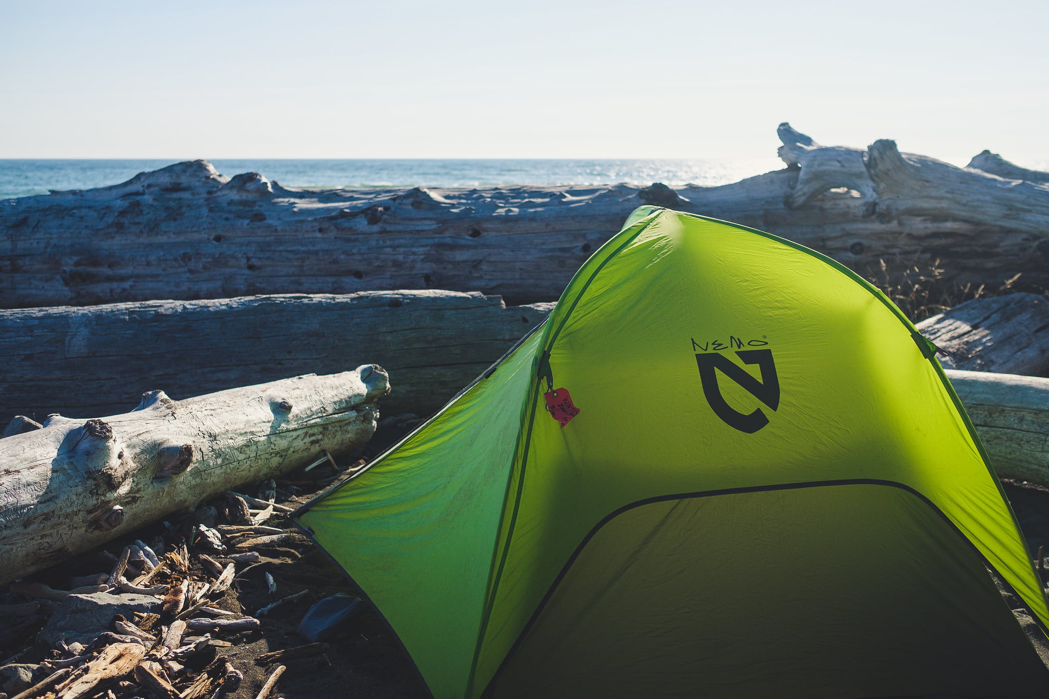
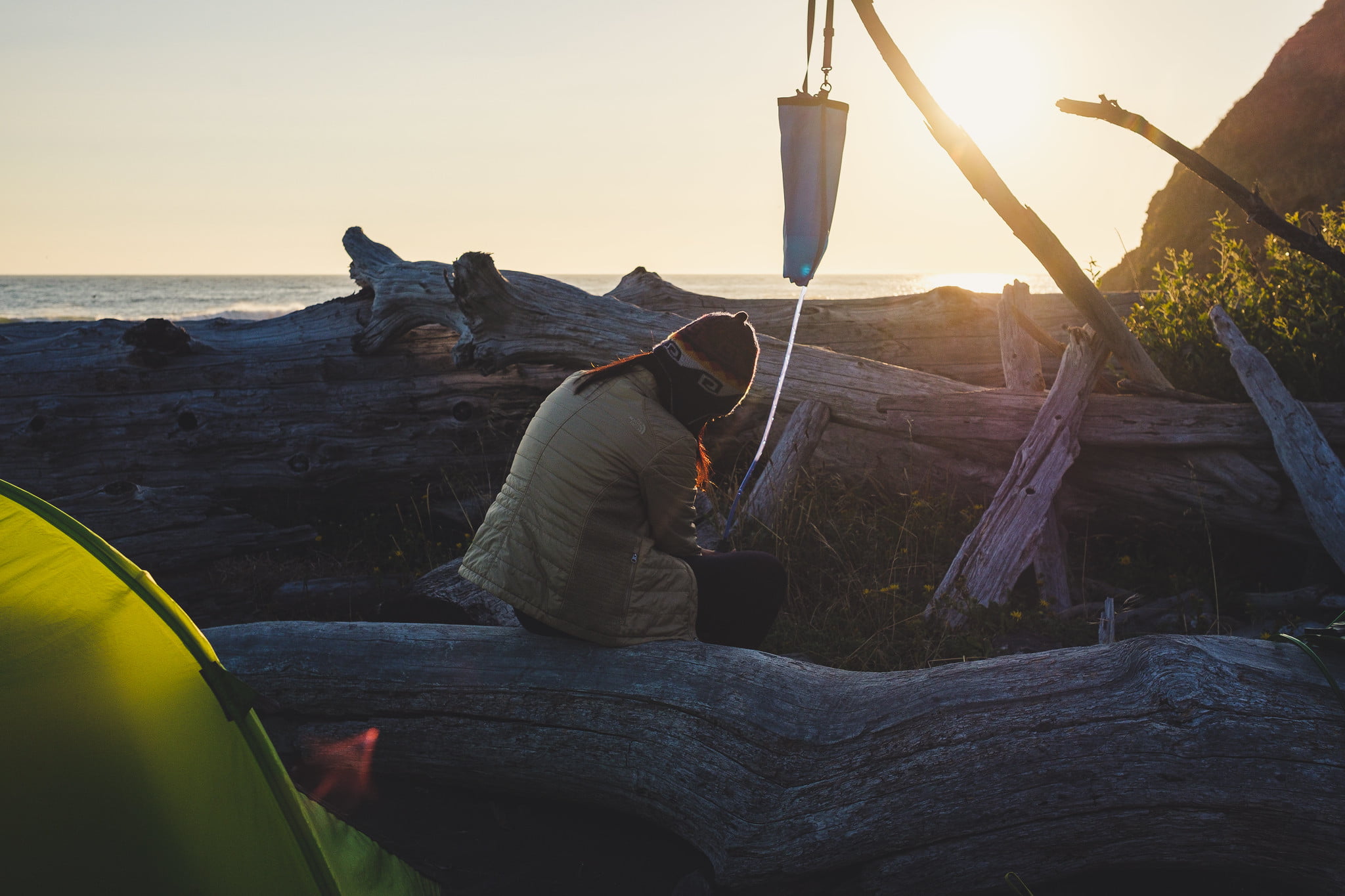
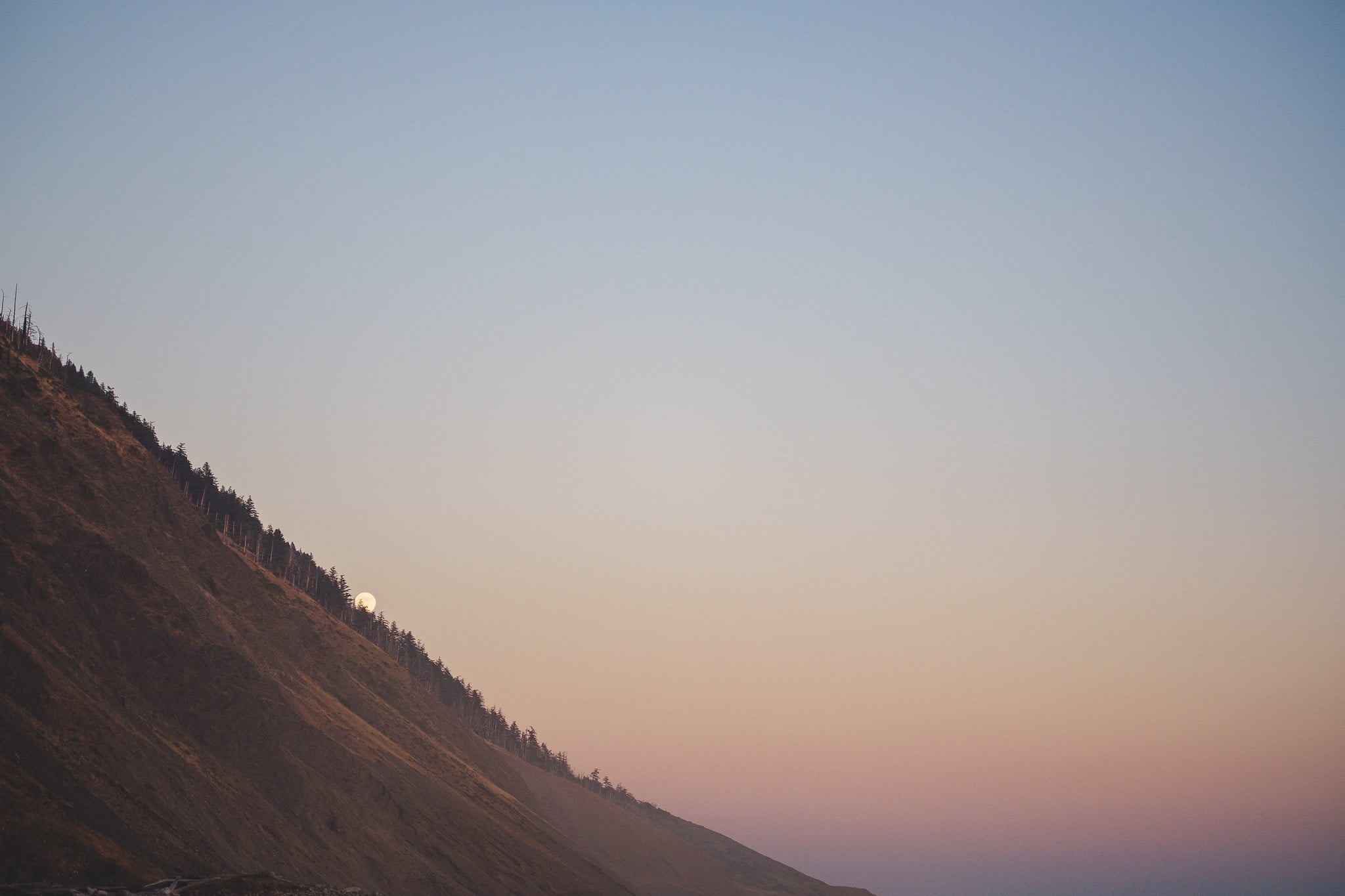
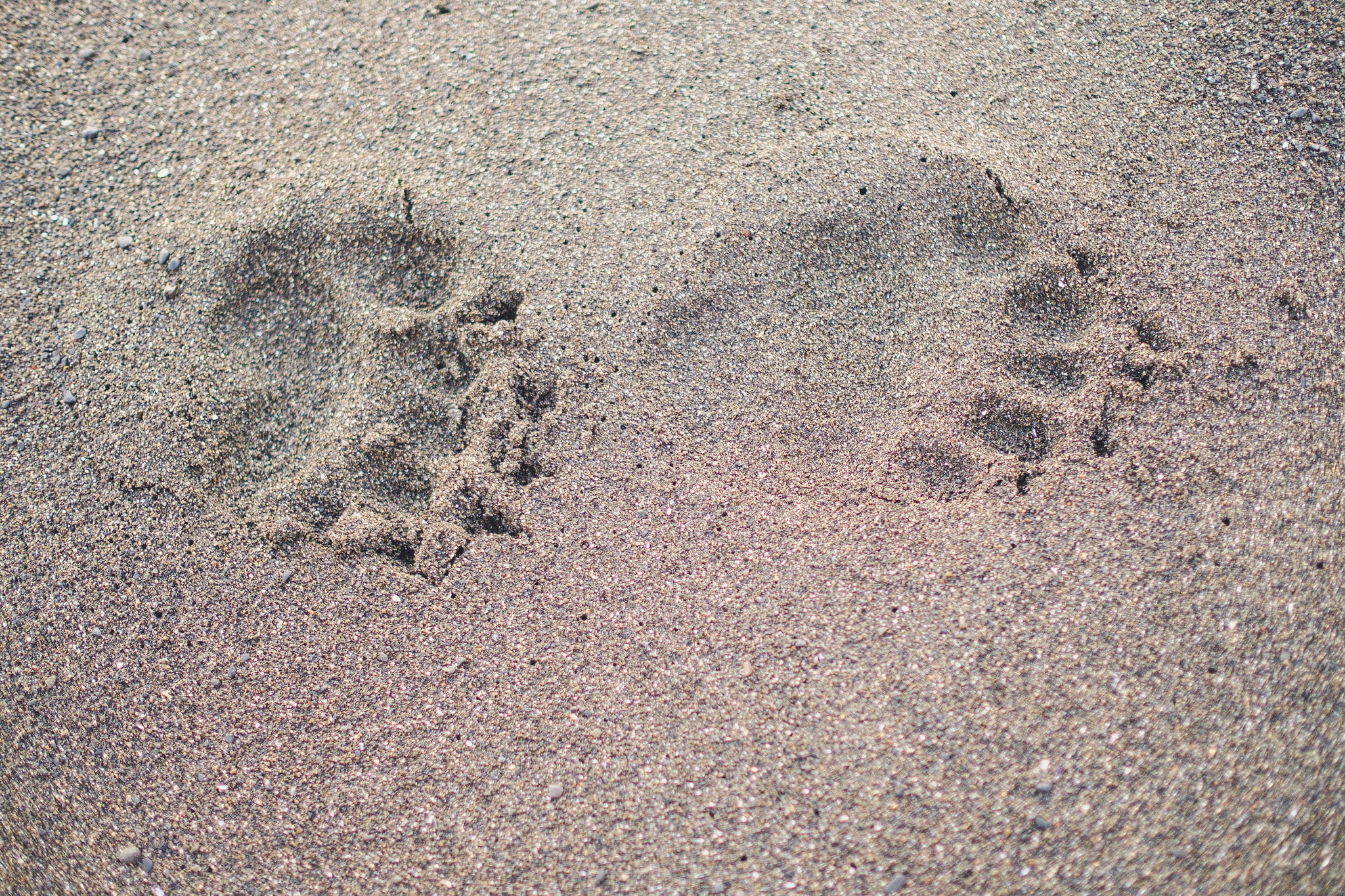
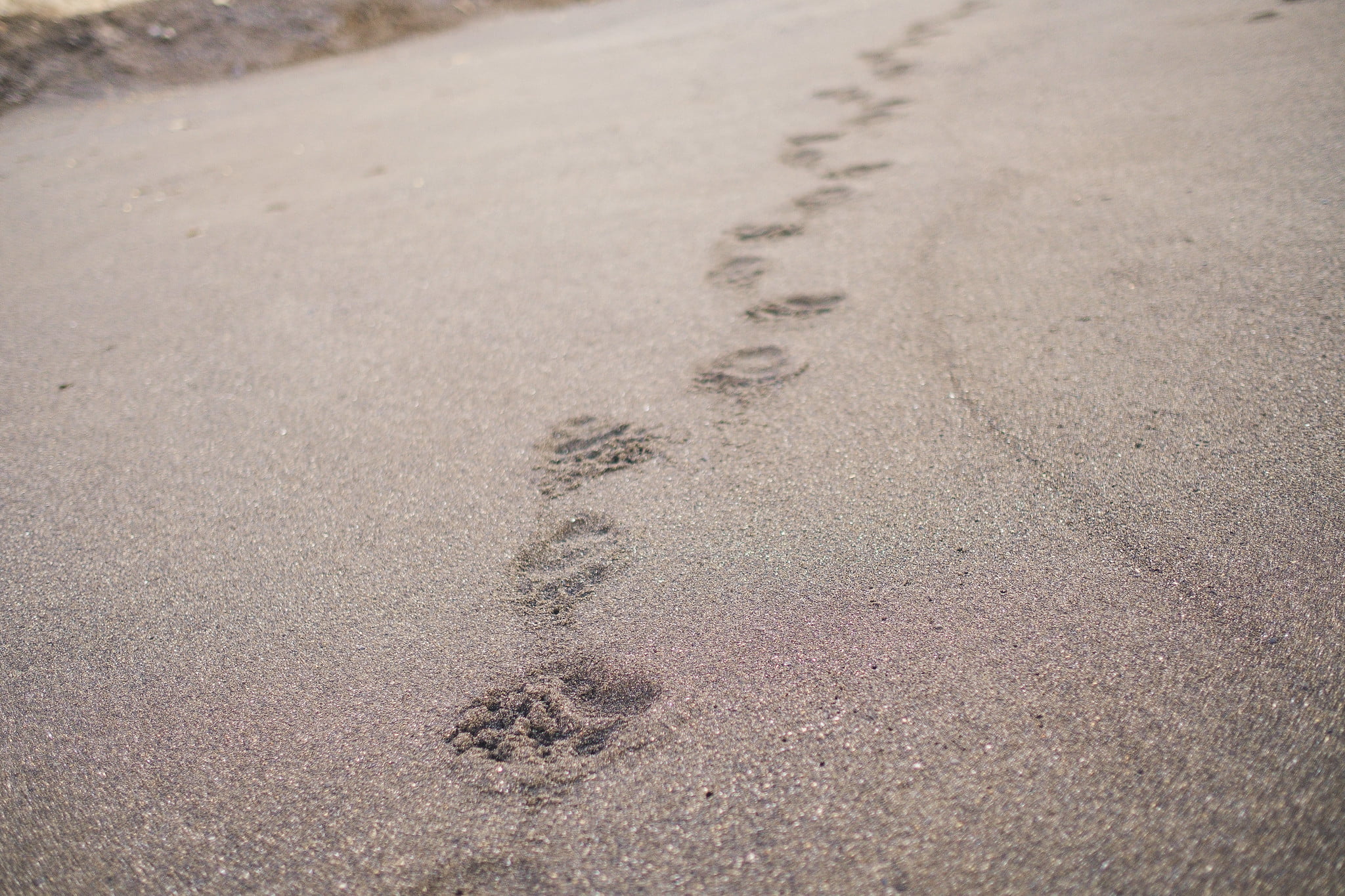
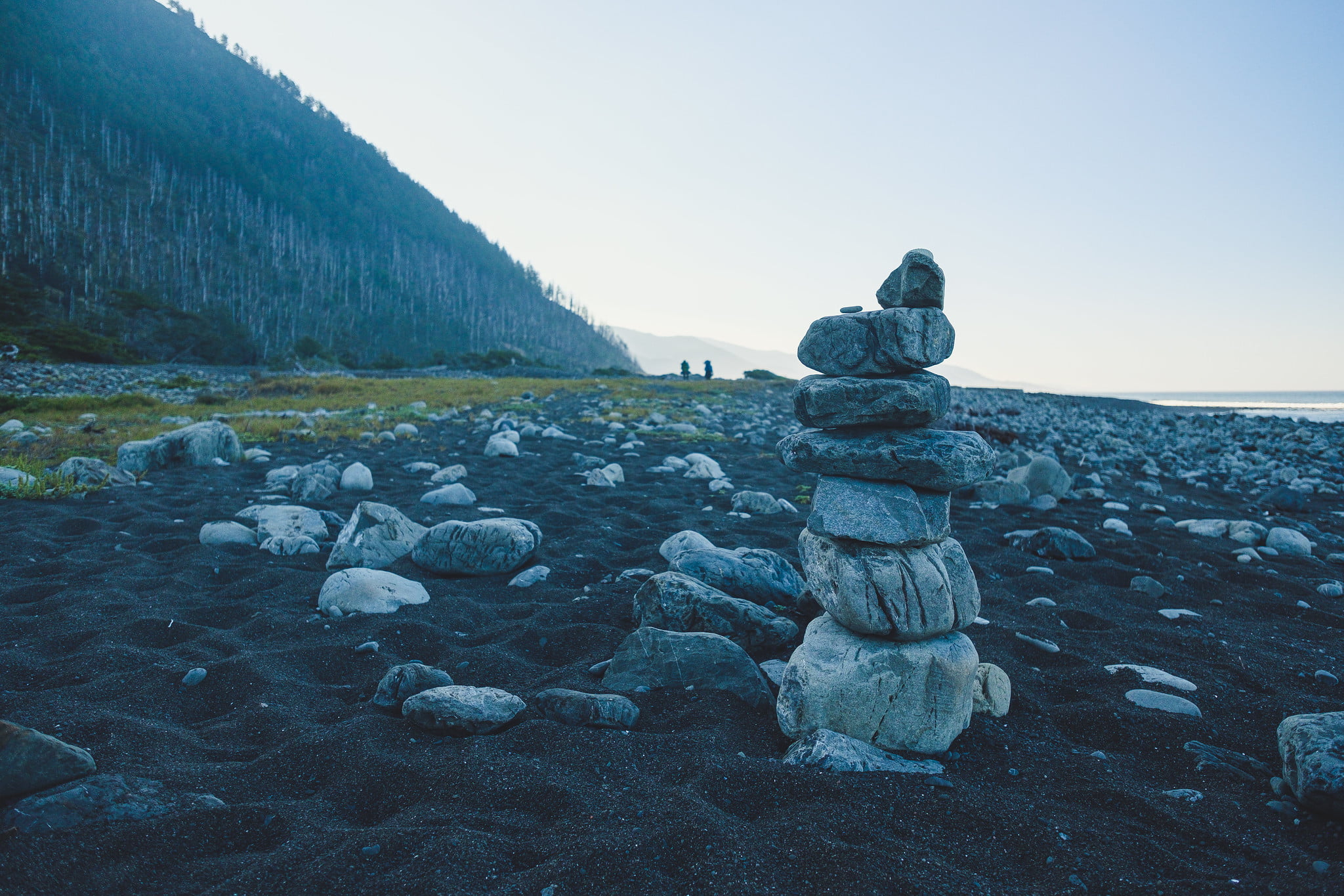
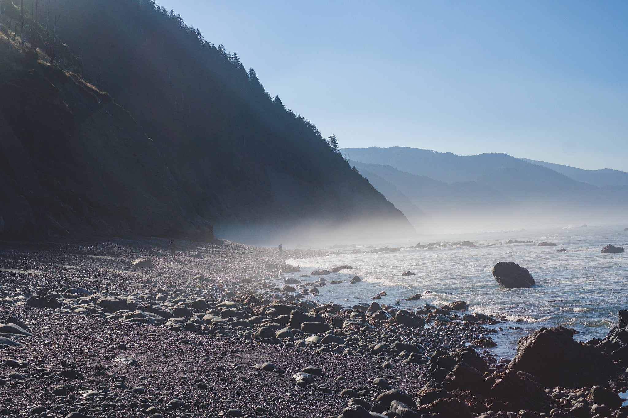
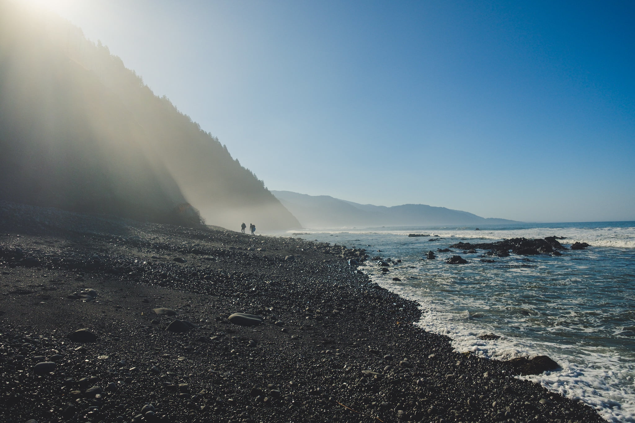
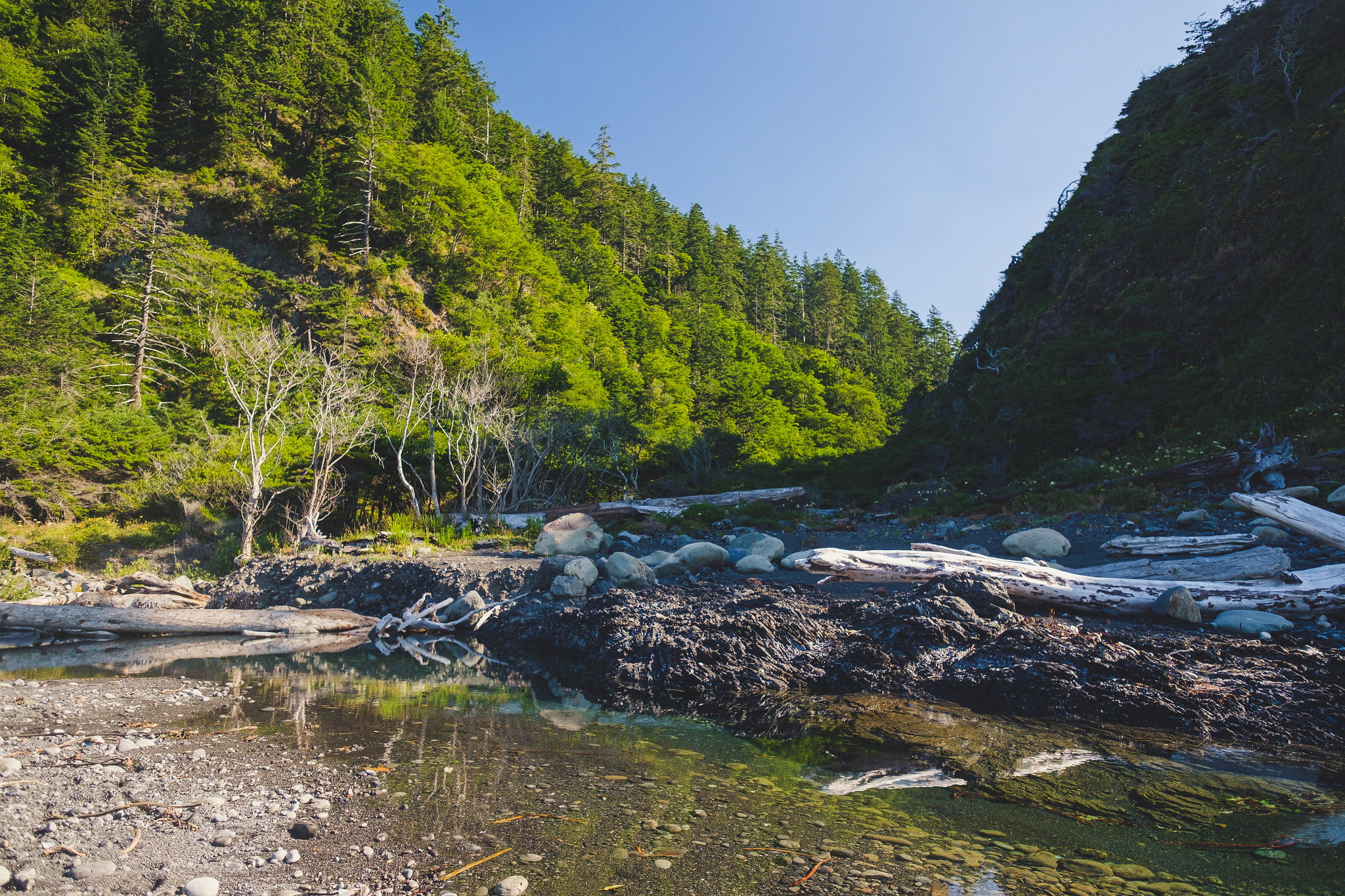
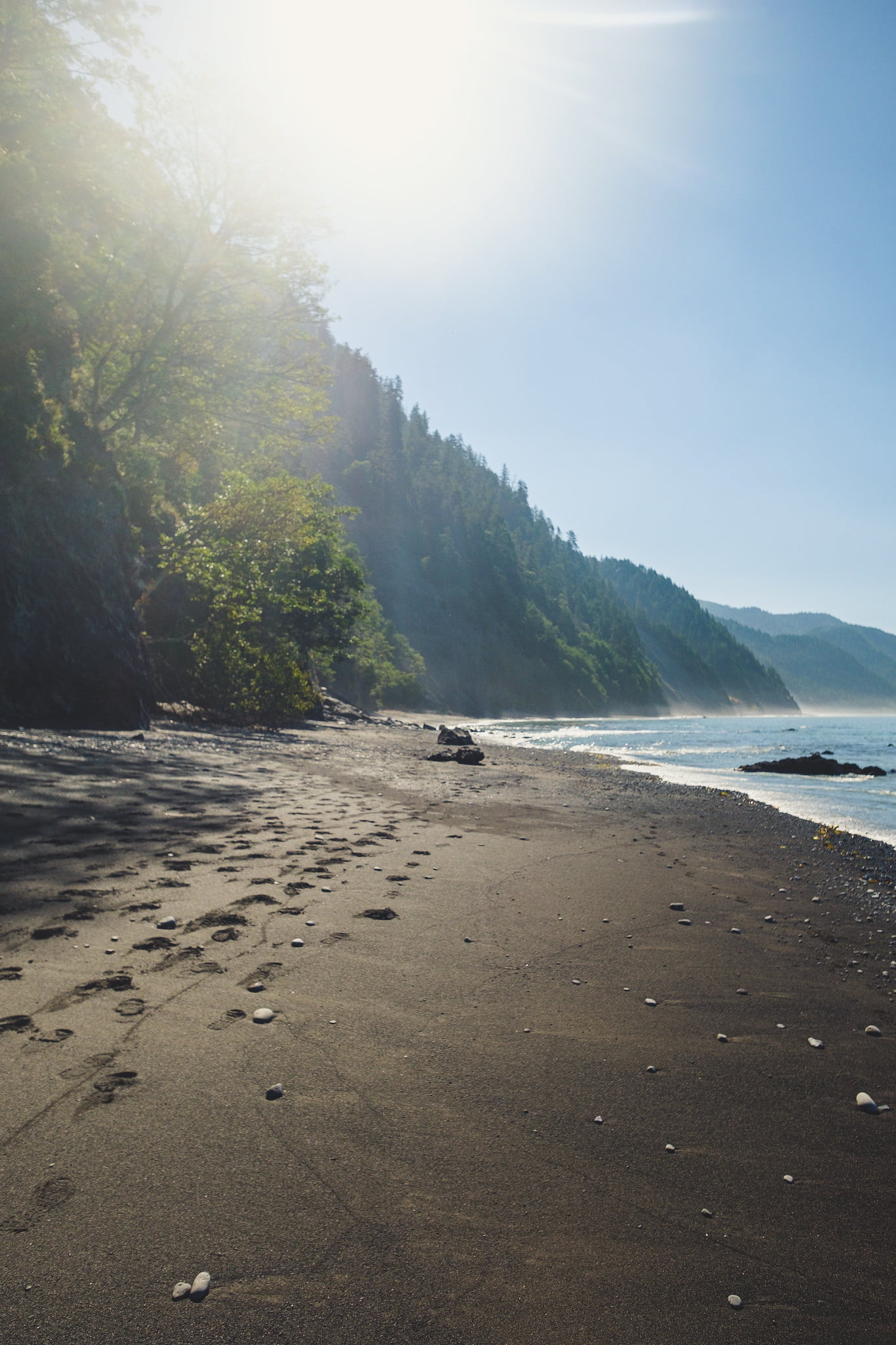
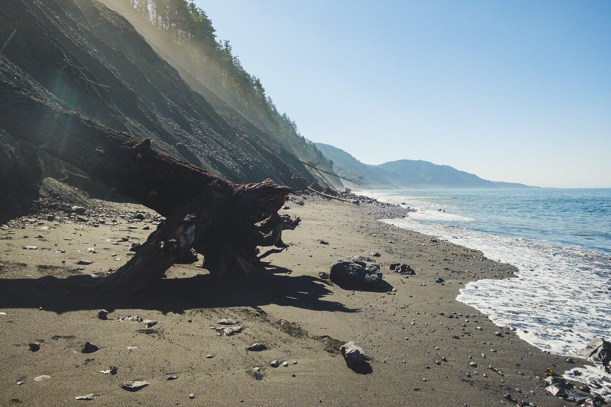
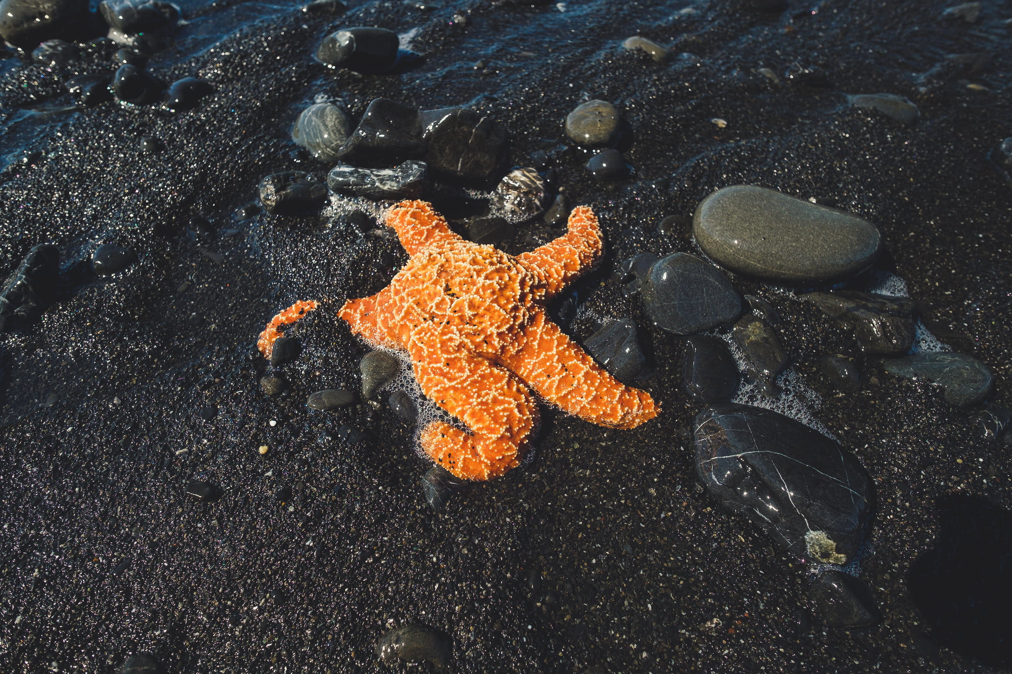
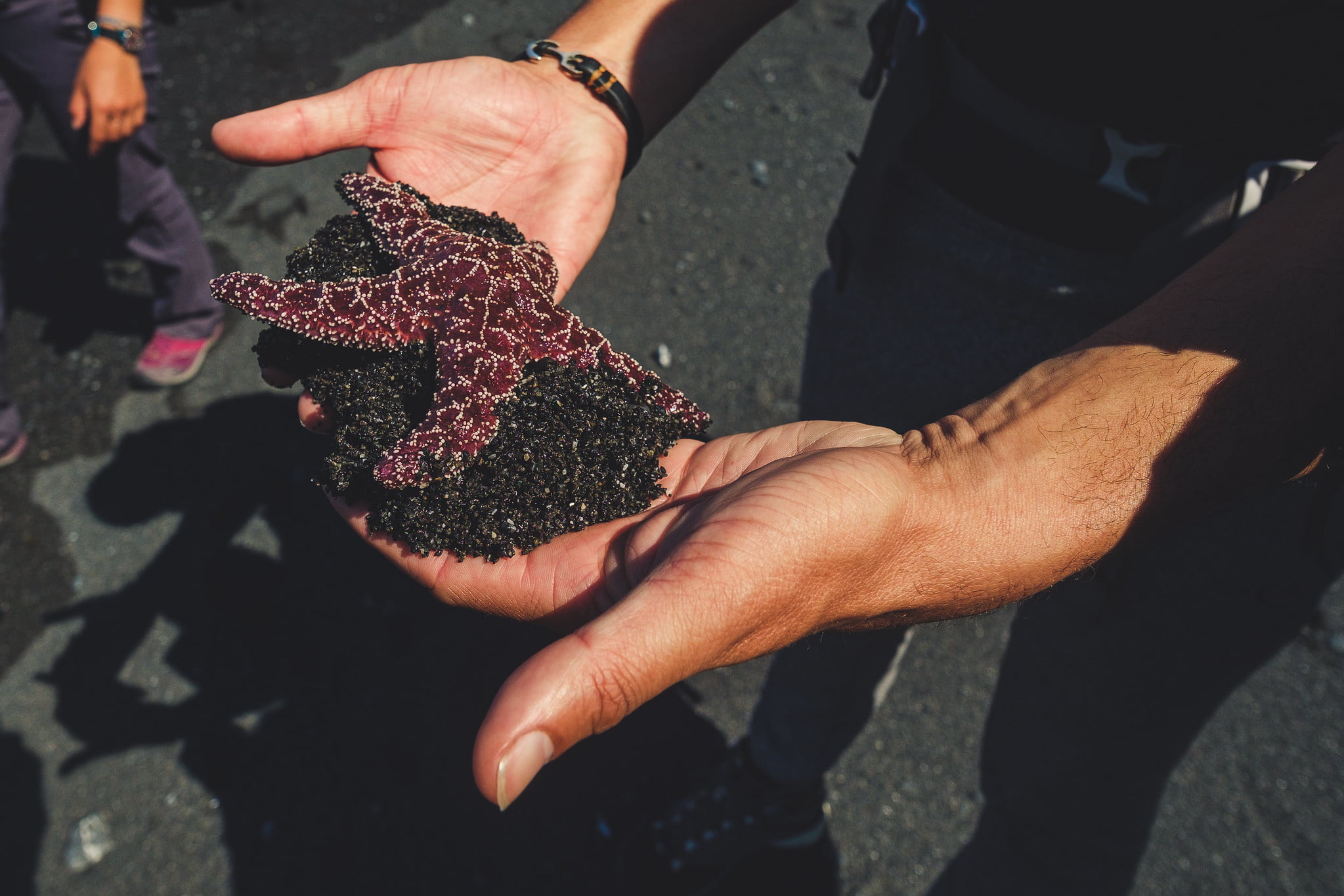
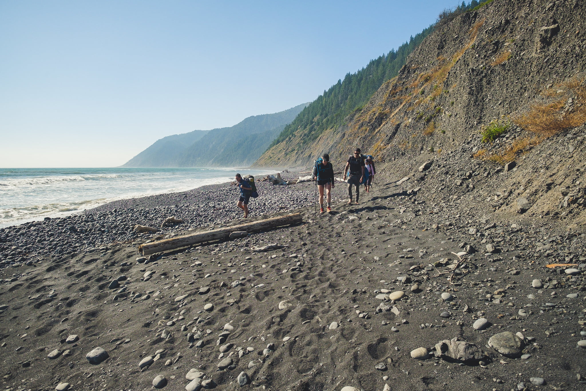
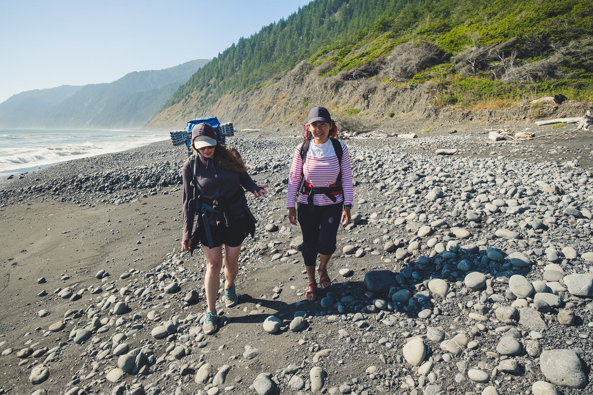
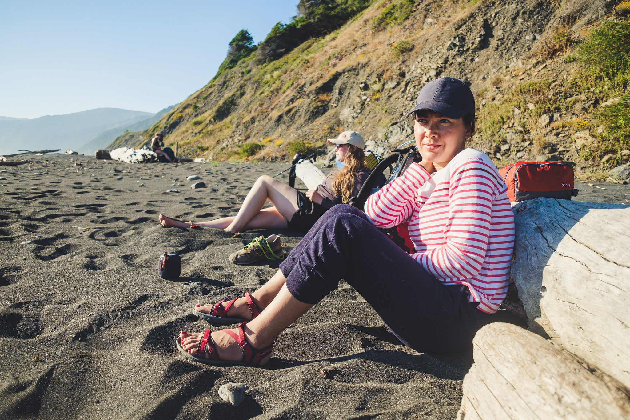
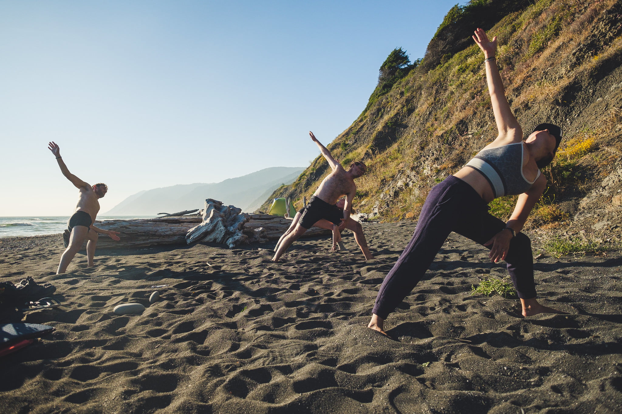
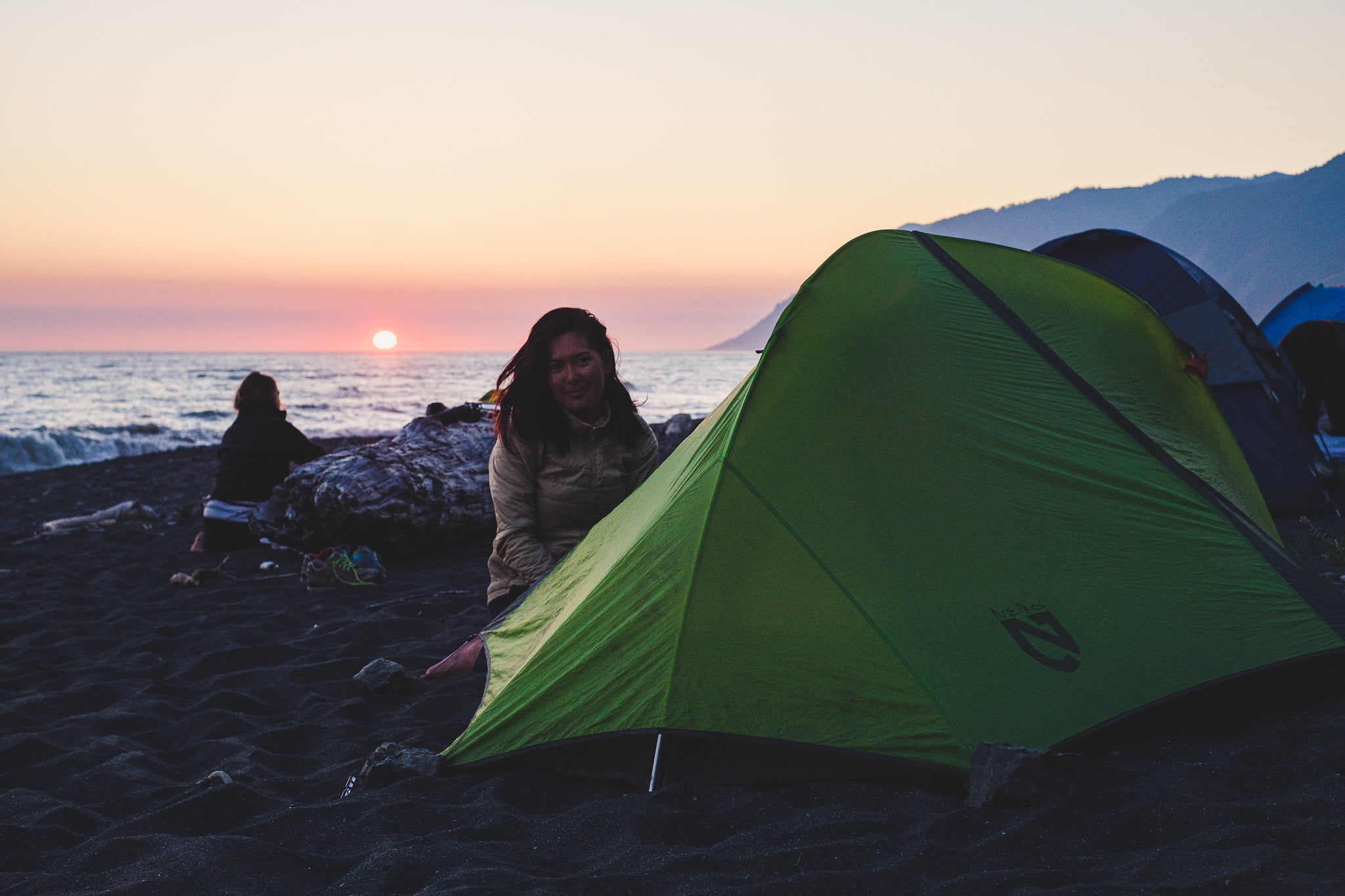
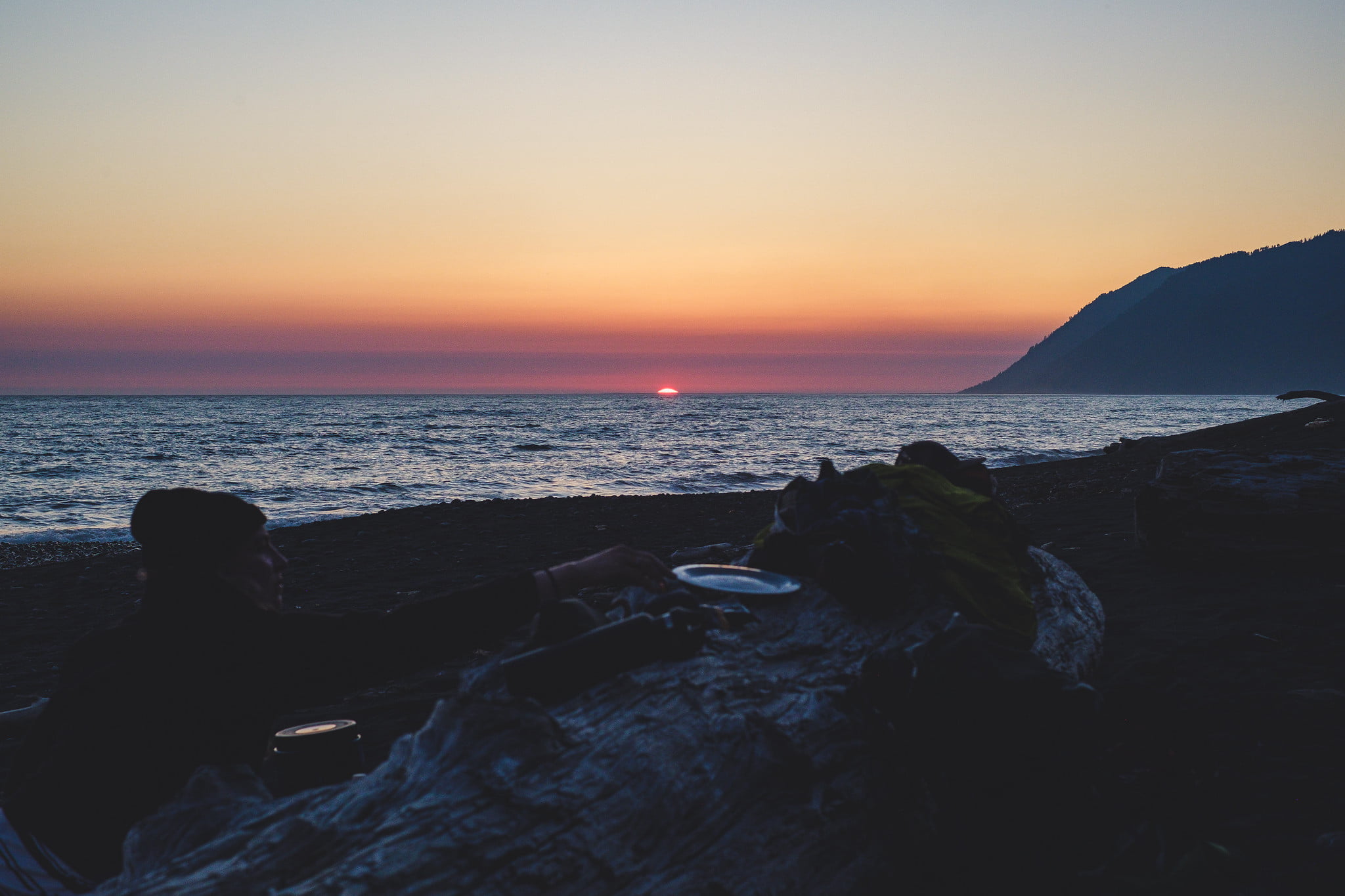
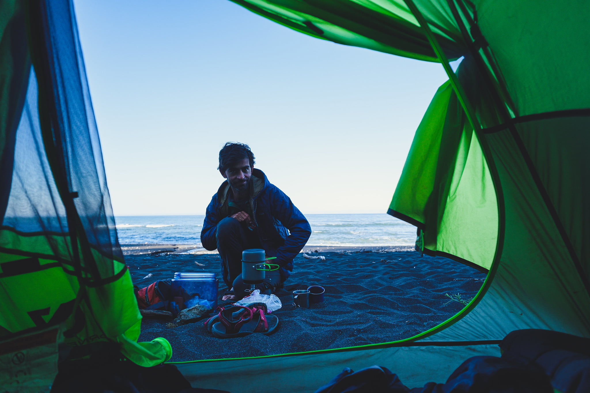
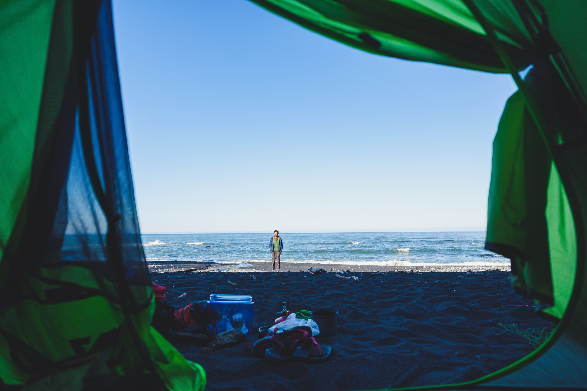
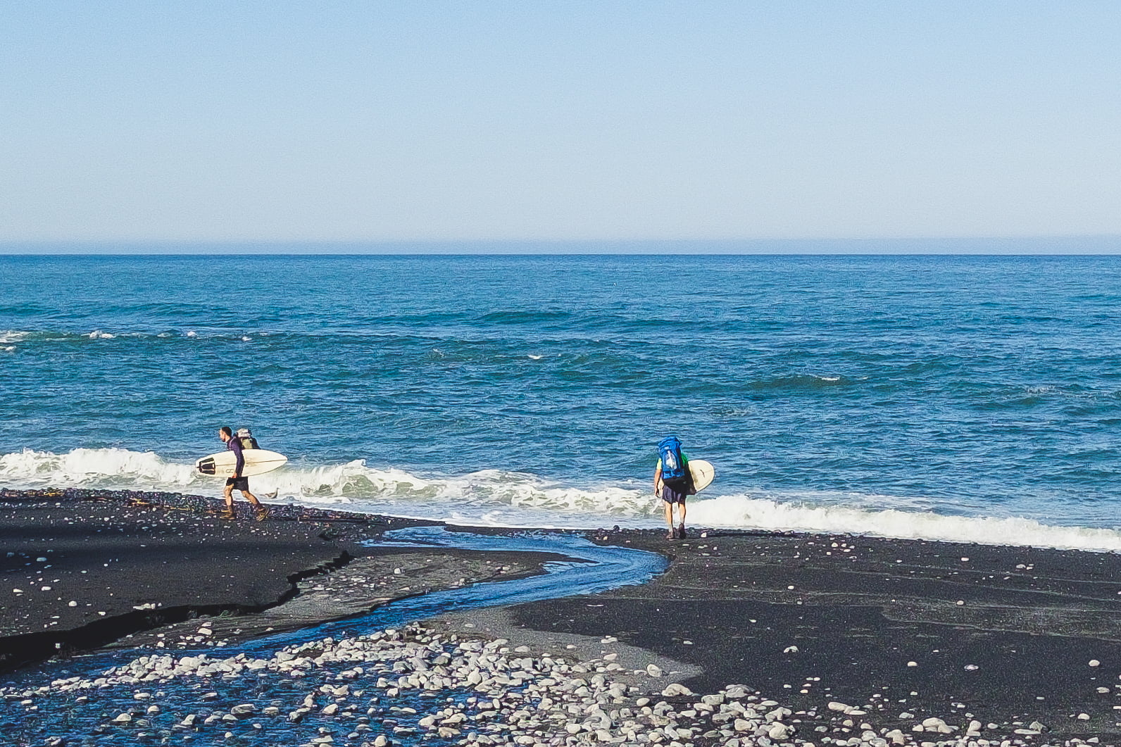
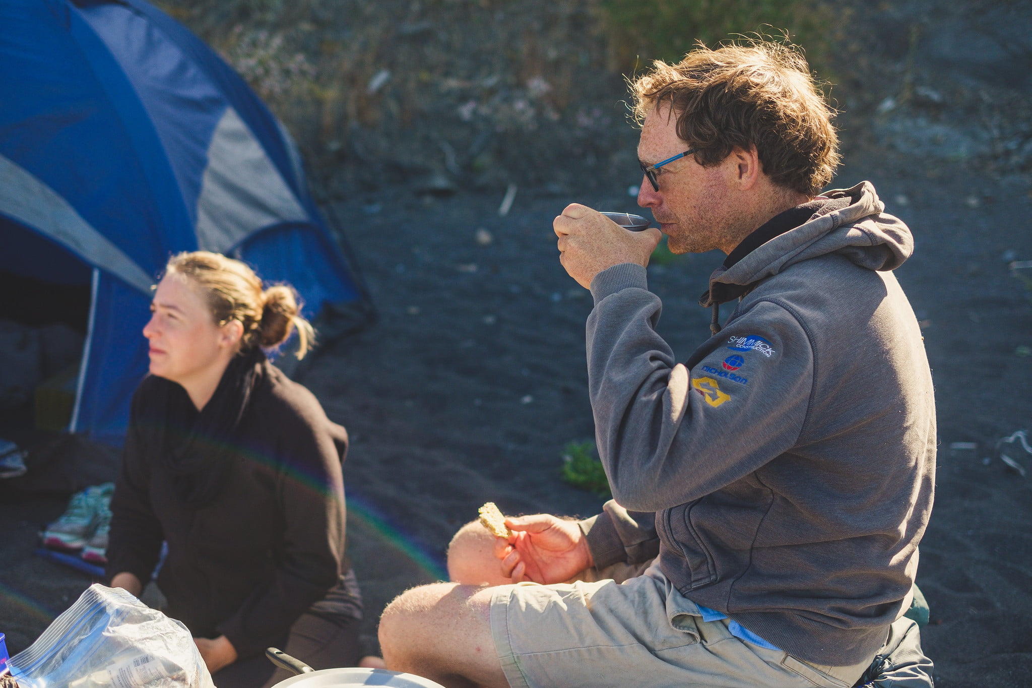
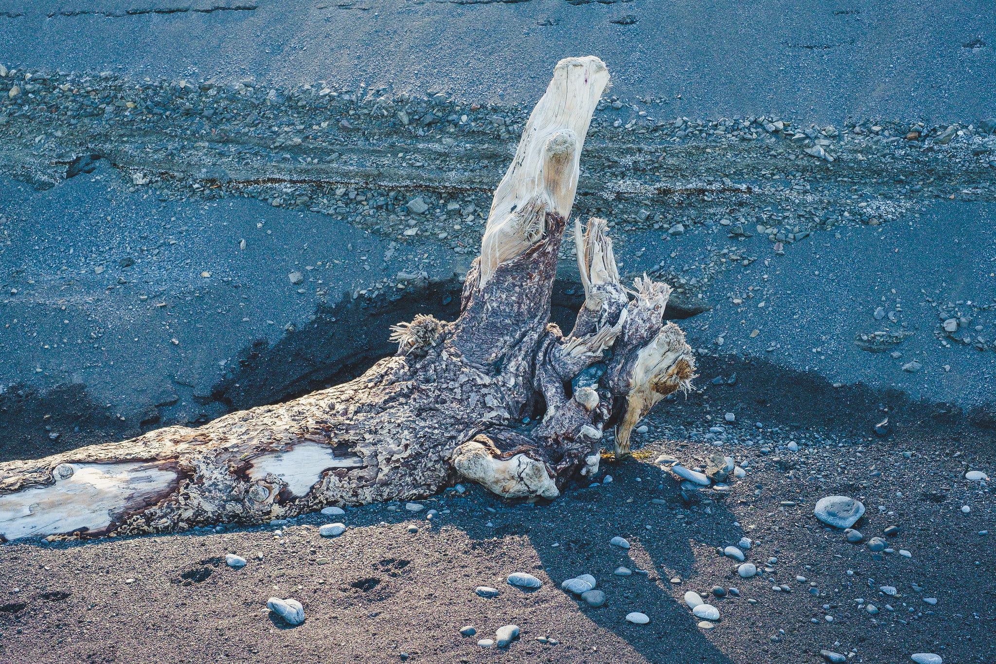
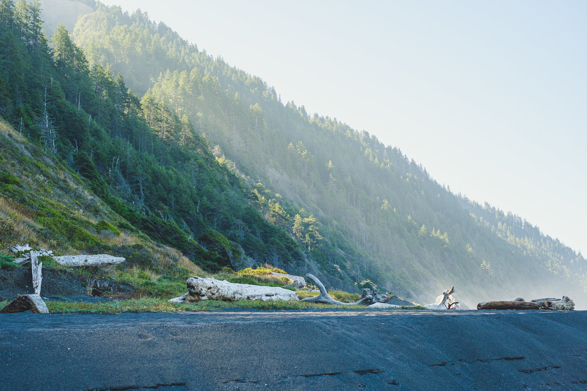
The conditions on the trail are very varied, from sand to rocks of varying sizes, to a simple trail across the grassland. At certain times, the waves can get quite close and we ended up having to “walk fast” a few times! While there is no elevation gain, hiking on sand can be quite slow and tiring. We managed to see a lot of wildlife, including Elephant Seals baking in the sun, and traces of a bear and her cub. There is also nothing like waking up with a view of the ocean from a tent.
You’ll find this post a video that tries to capture the experience of walking the trail, followed by lots of pictures.