Sing me a song of a lad that is gone
Say could that lad be I?
Merry of soul he sailed on a day
Over the sea to Skye
Mull was astern, Rùm on the port
Eigg on the starboard bow
Glory of youth glowed in his soul
Where is that glory now?
(Chorus)
Give me again all that was there
Give me the sun that shone
Give me the eyes, give me the soul
Give me the lad that’s gone
(Chorus)
Billow and breeze, islands and seas
Mountains of rain and sun
All that was good, all that was fair
All that was me is gone—Robert Louis Stevenson, “Sing Me a Song of a Lad That Is Gone” (Songs of Travel, 1896), sung to the traditional Skye Boat Song air
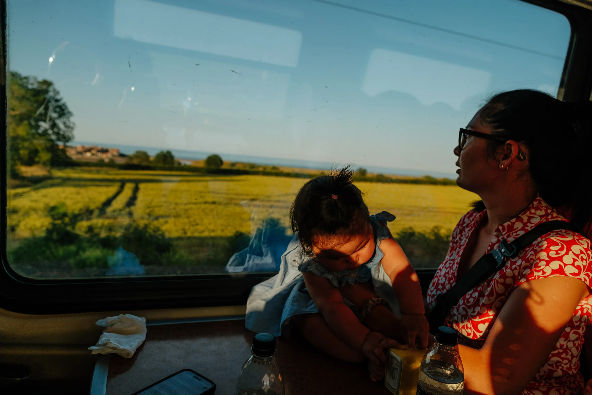
Scotland had been on our list for a very long time: the history, the landscapes, and all the films and TV series set there. So in the summer of 2025, with a toddler and a baby in tow, we took a train from Paris to London, and then on to Edinburgh, to explore Bonnie Scotland and the Highlands in particular!
Our itinerary
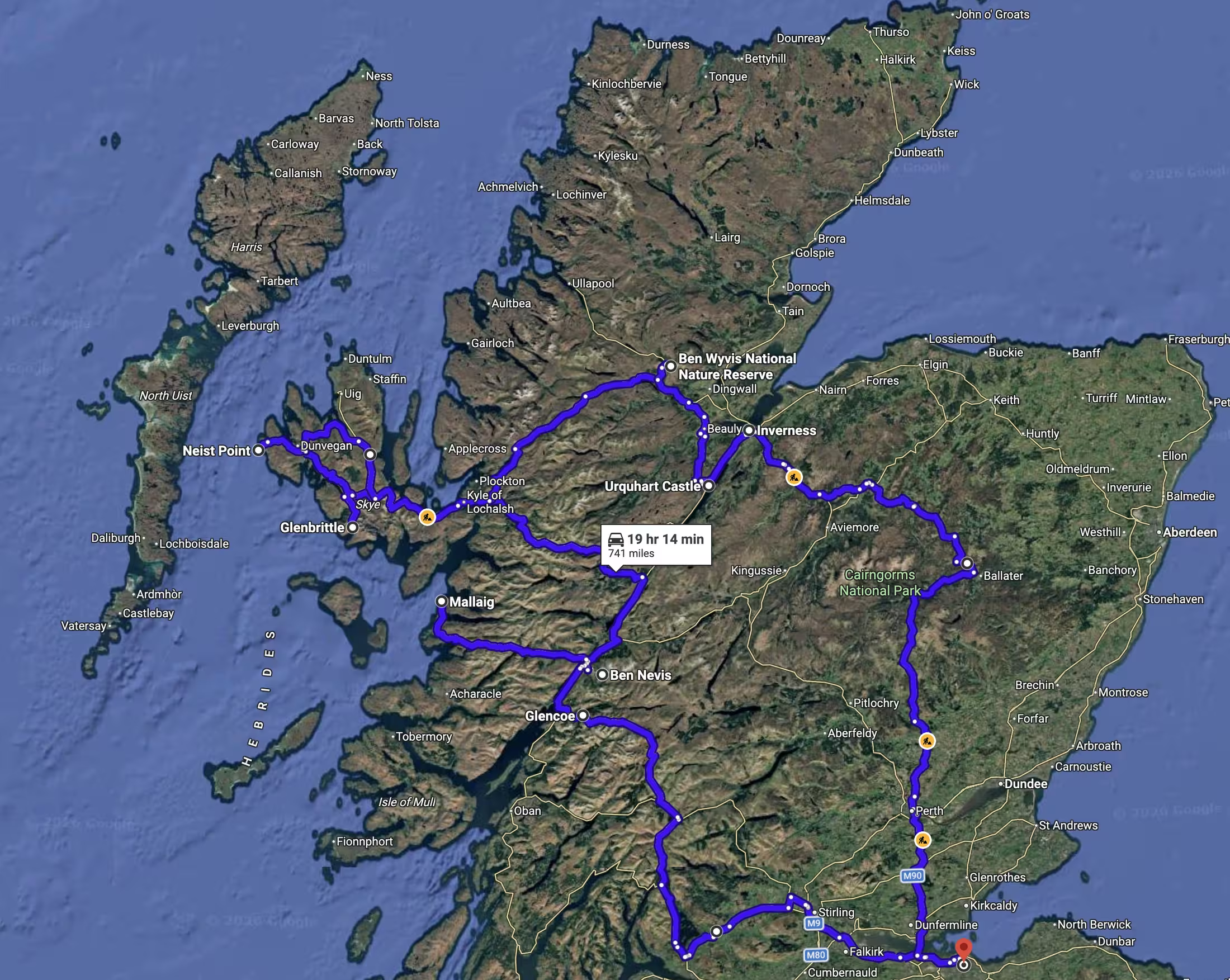
Edinburgh
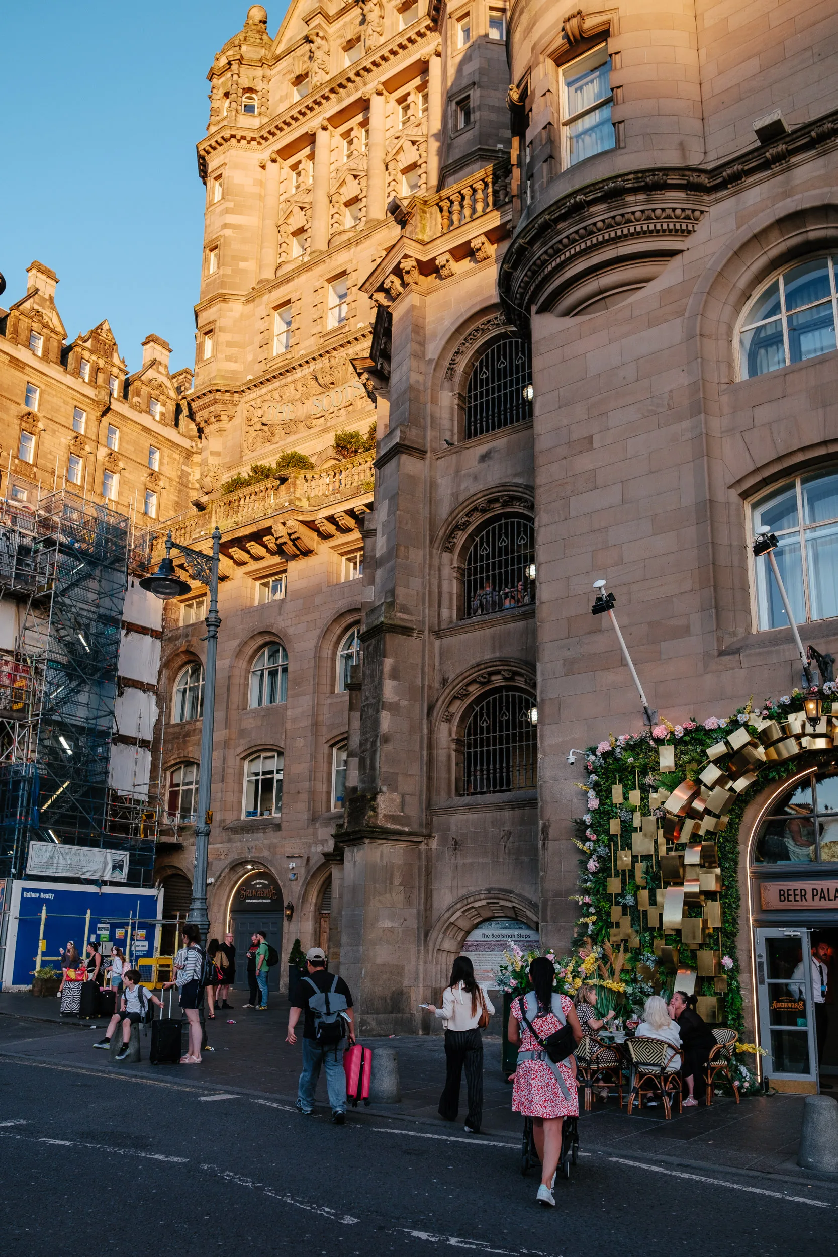
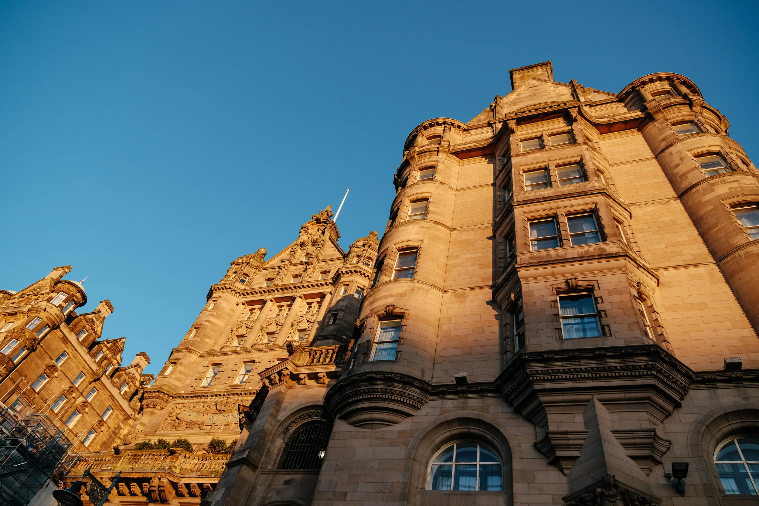
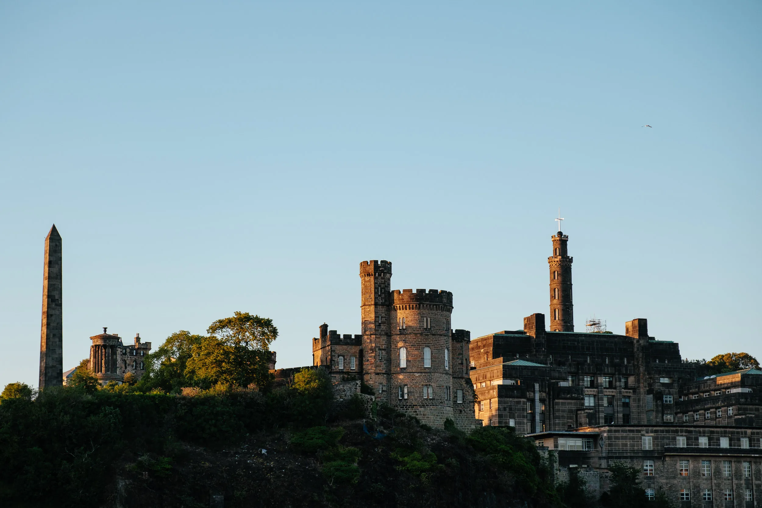
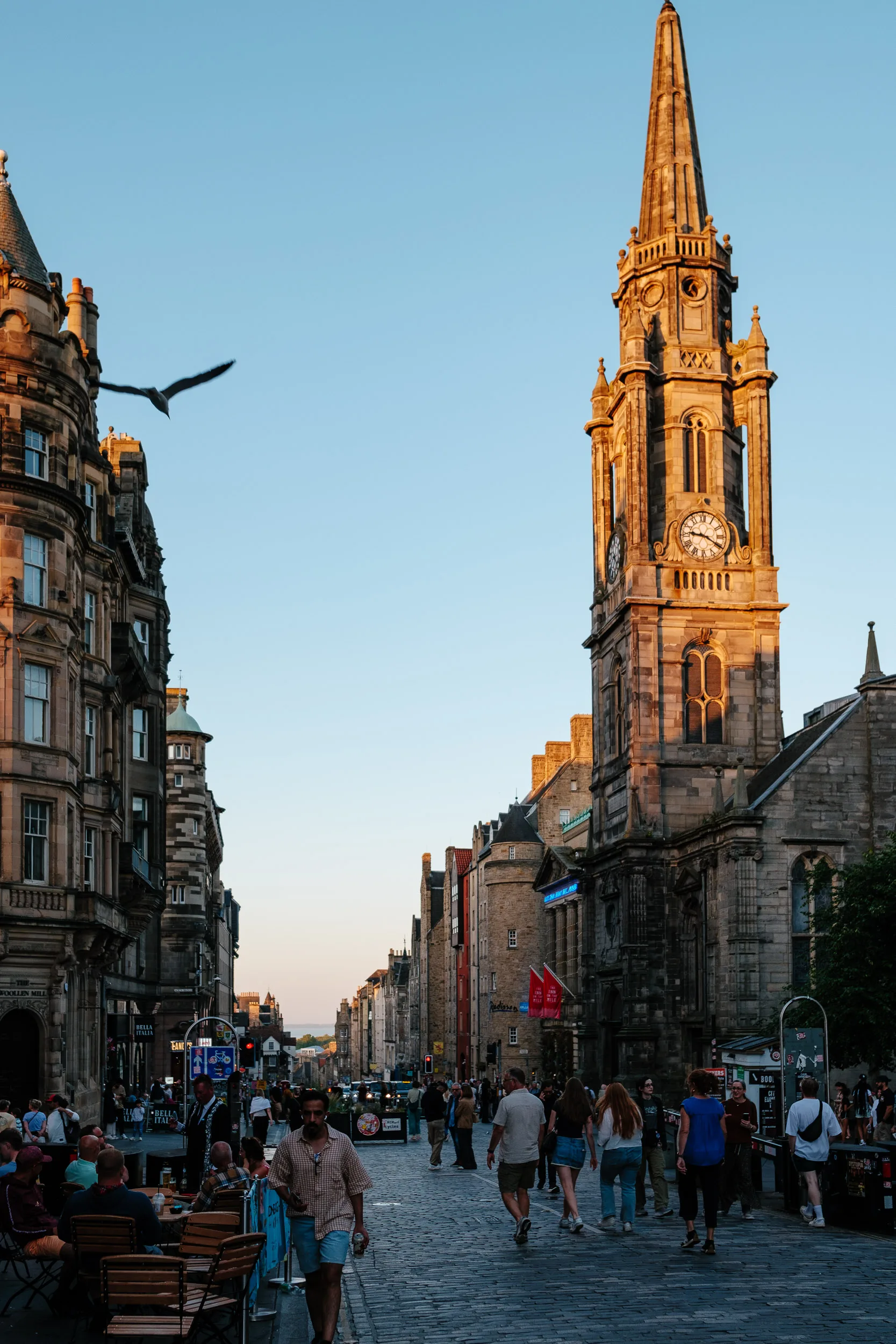
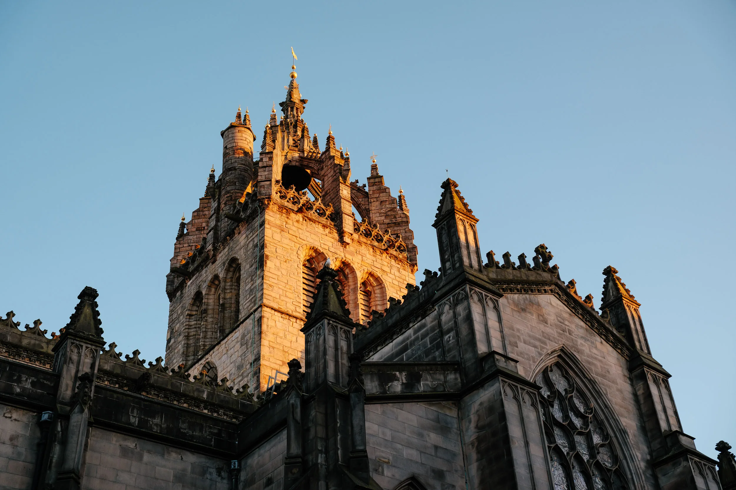
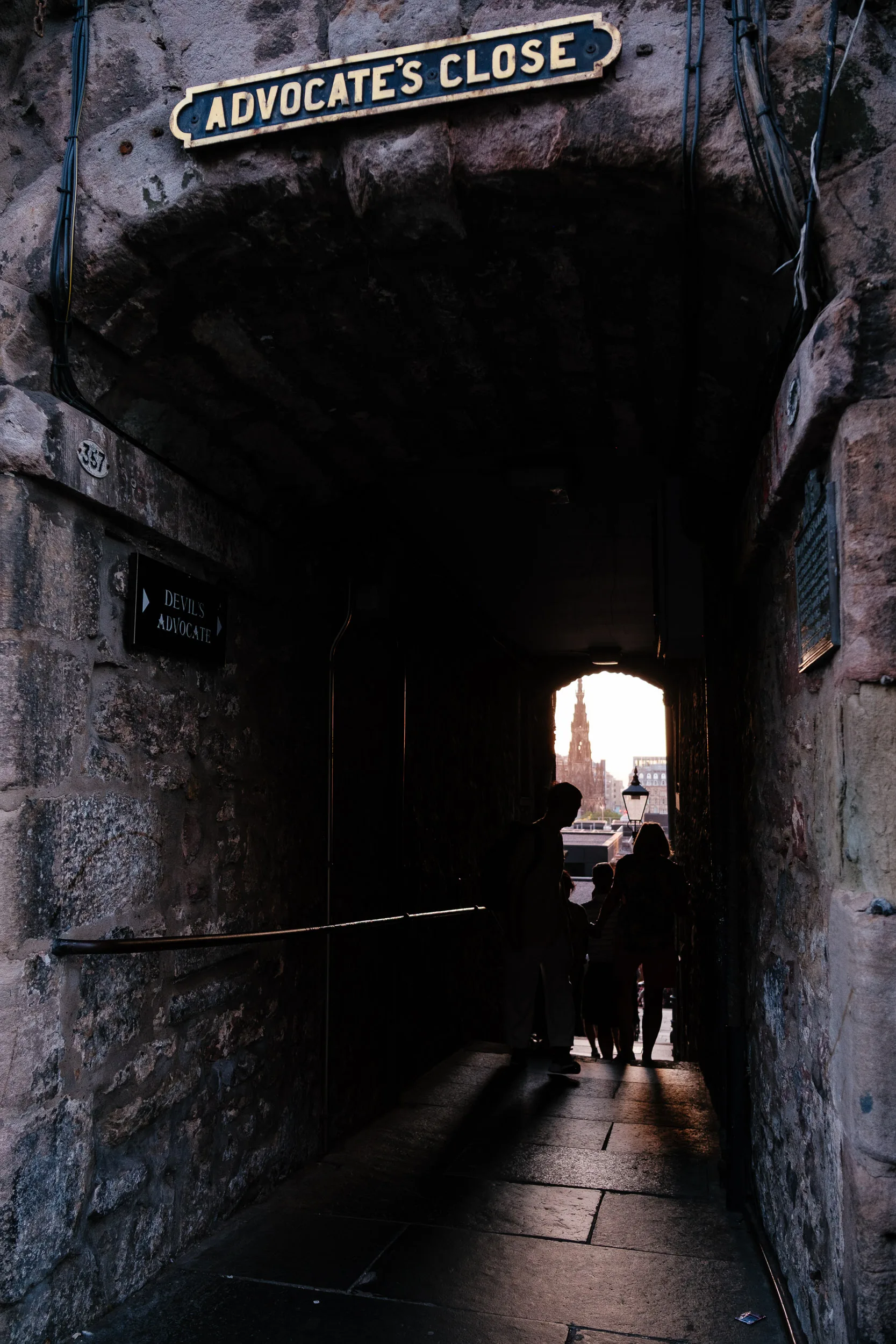
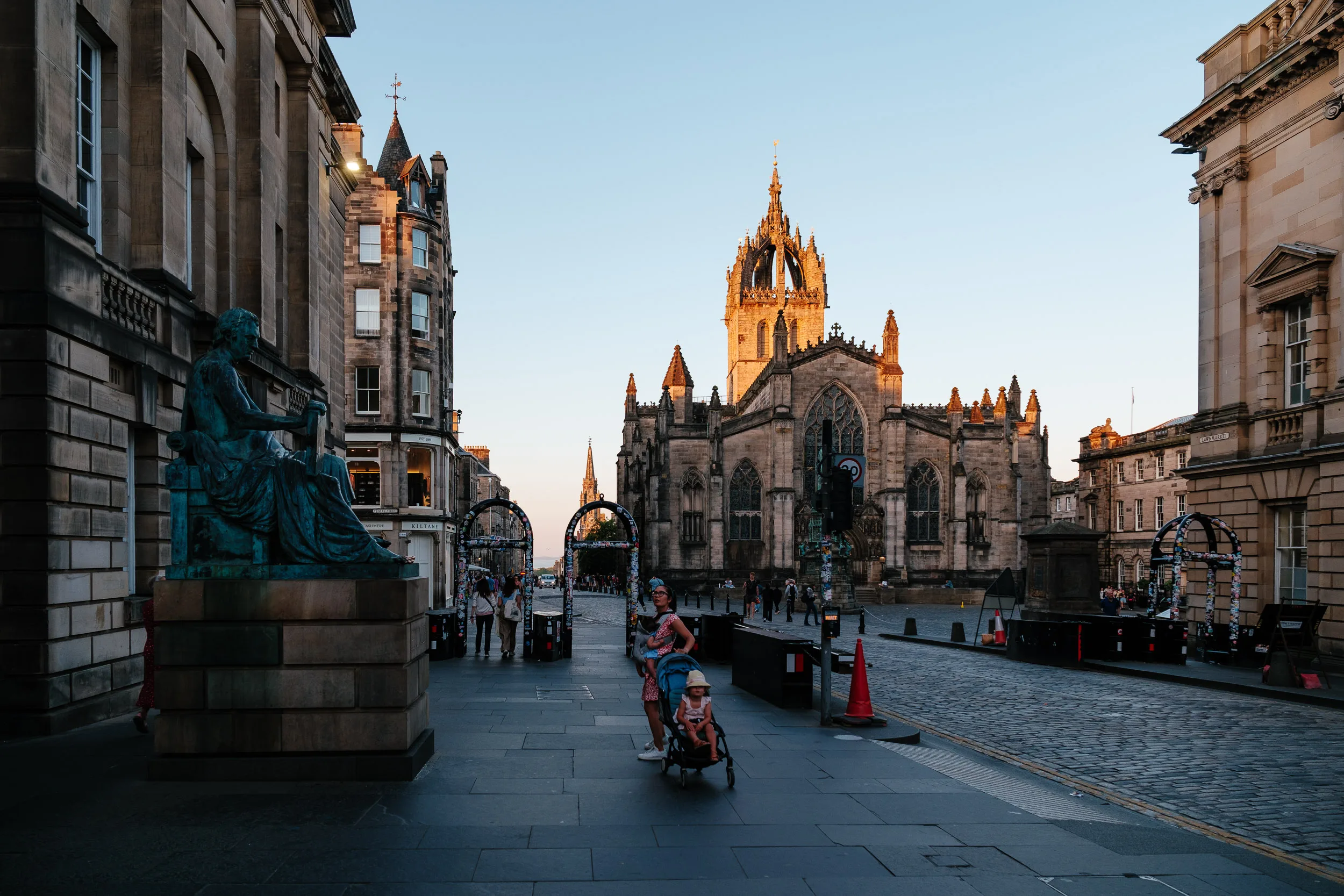
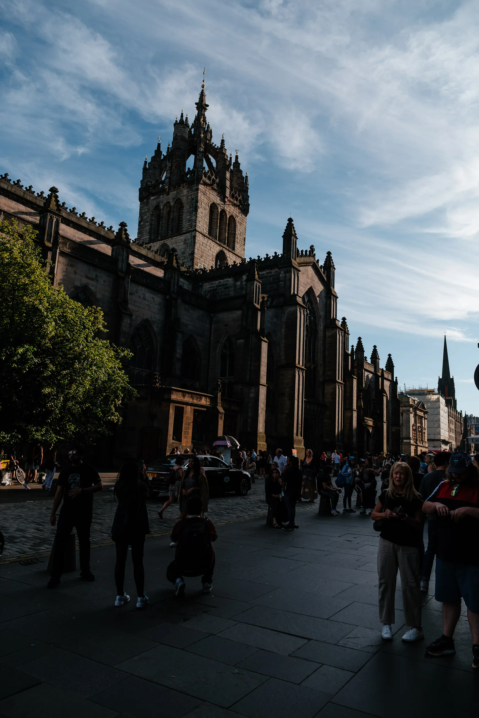
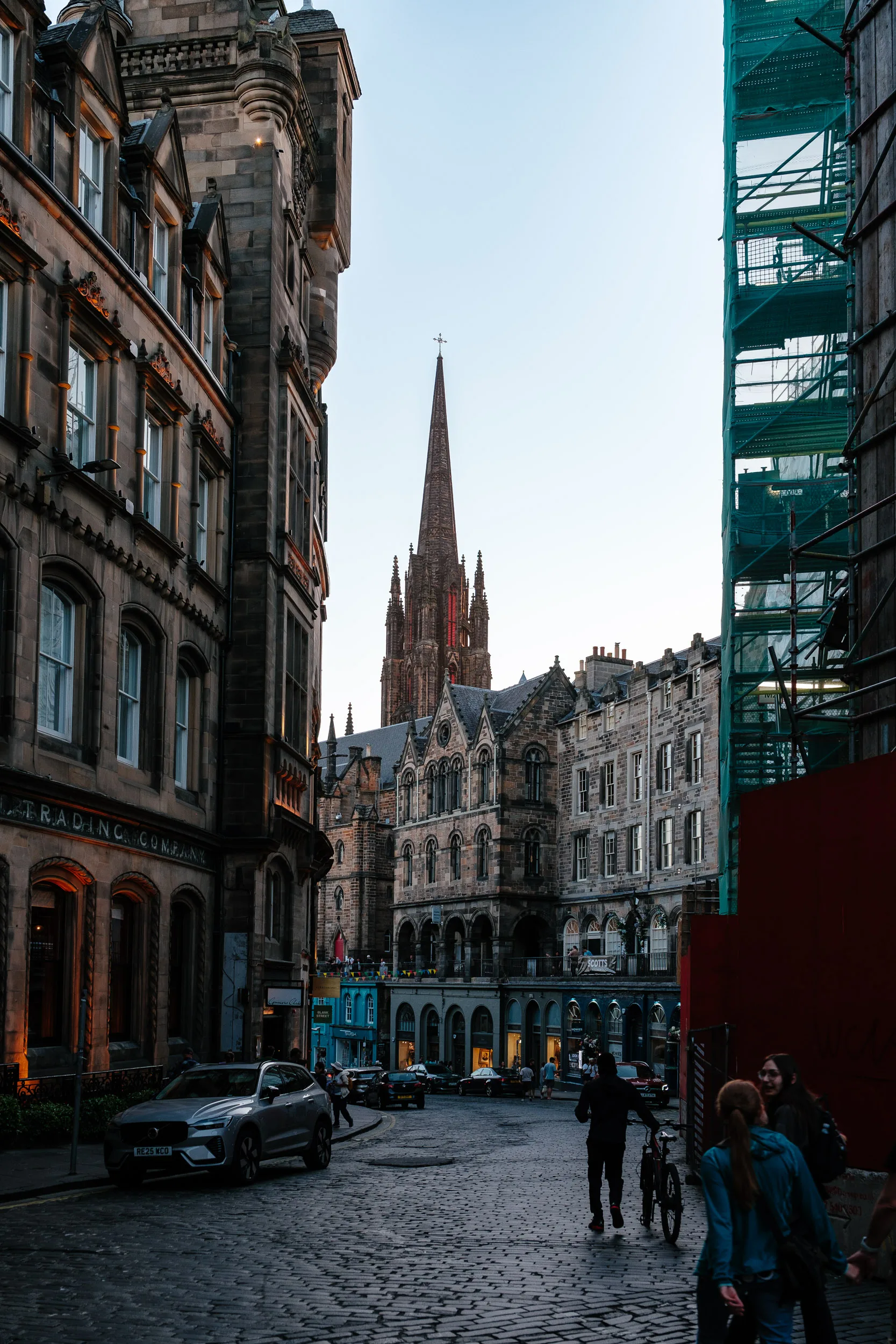
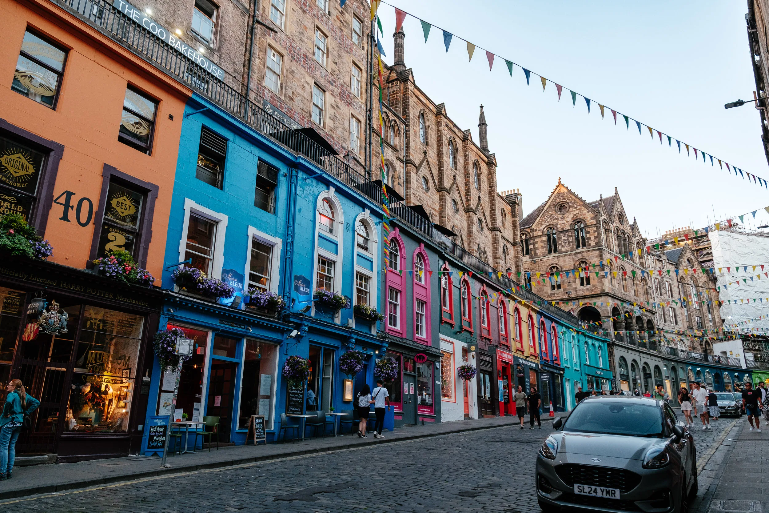
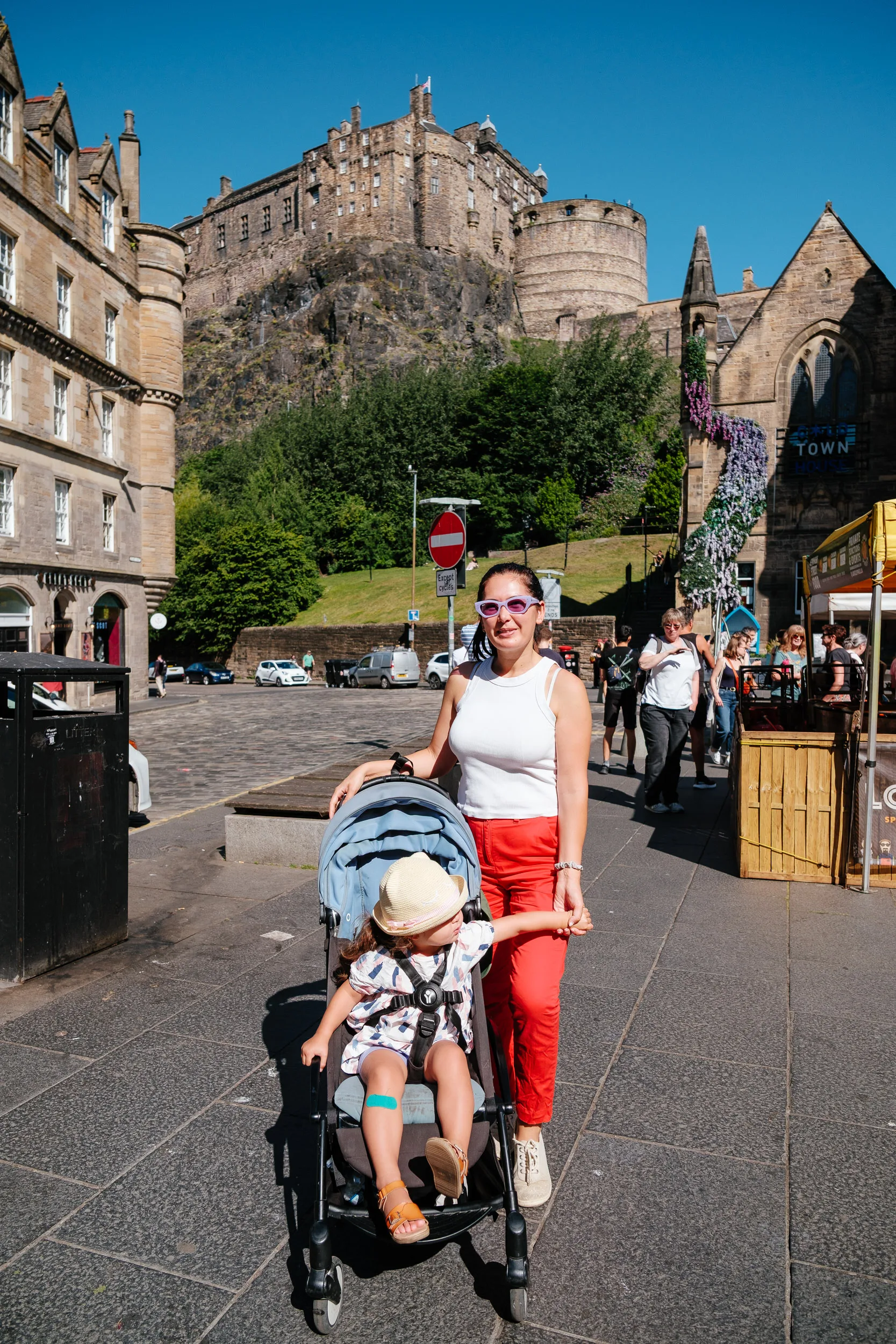
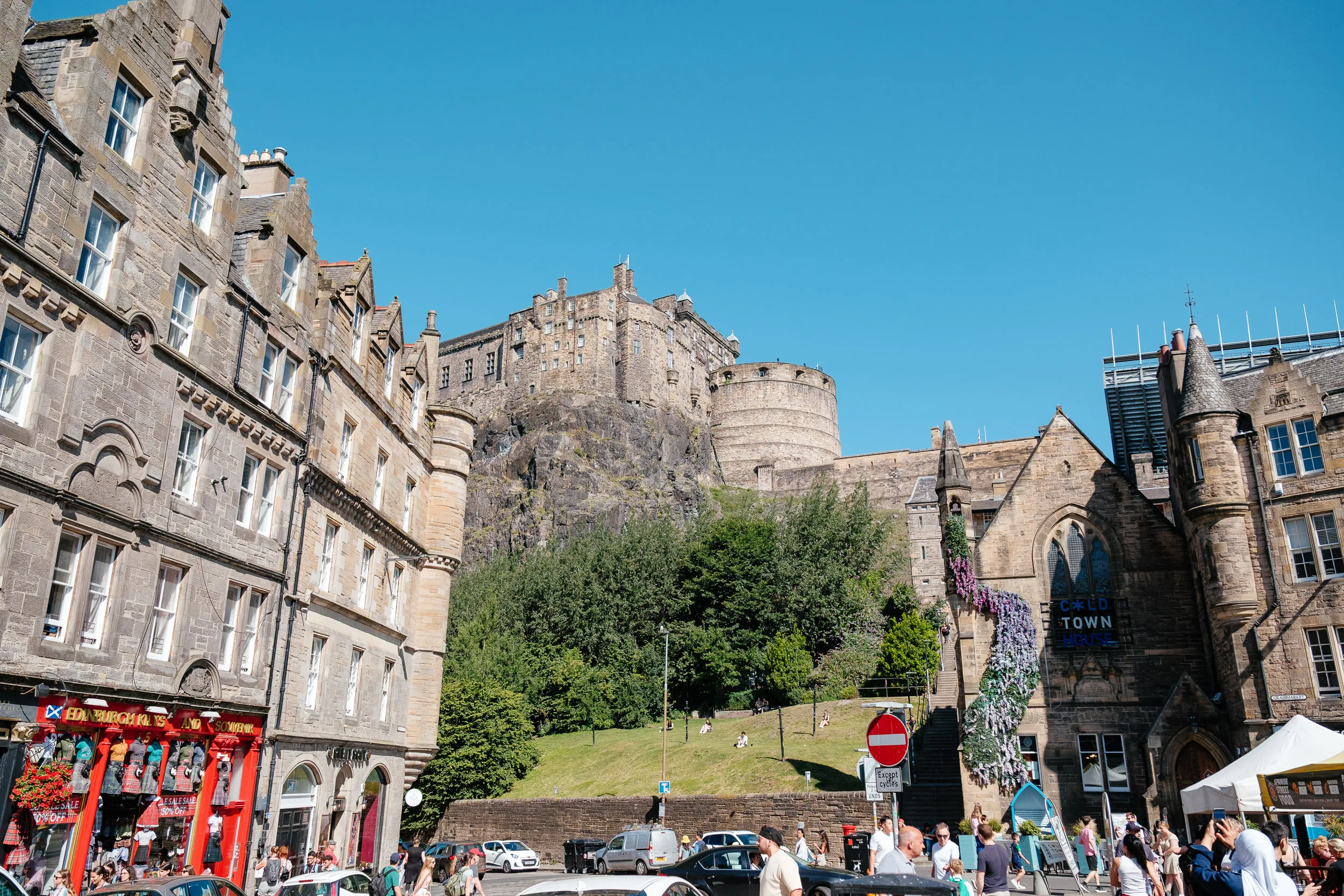
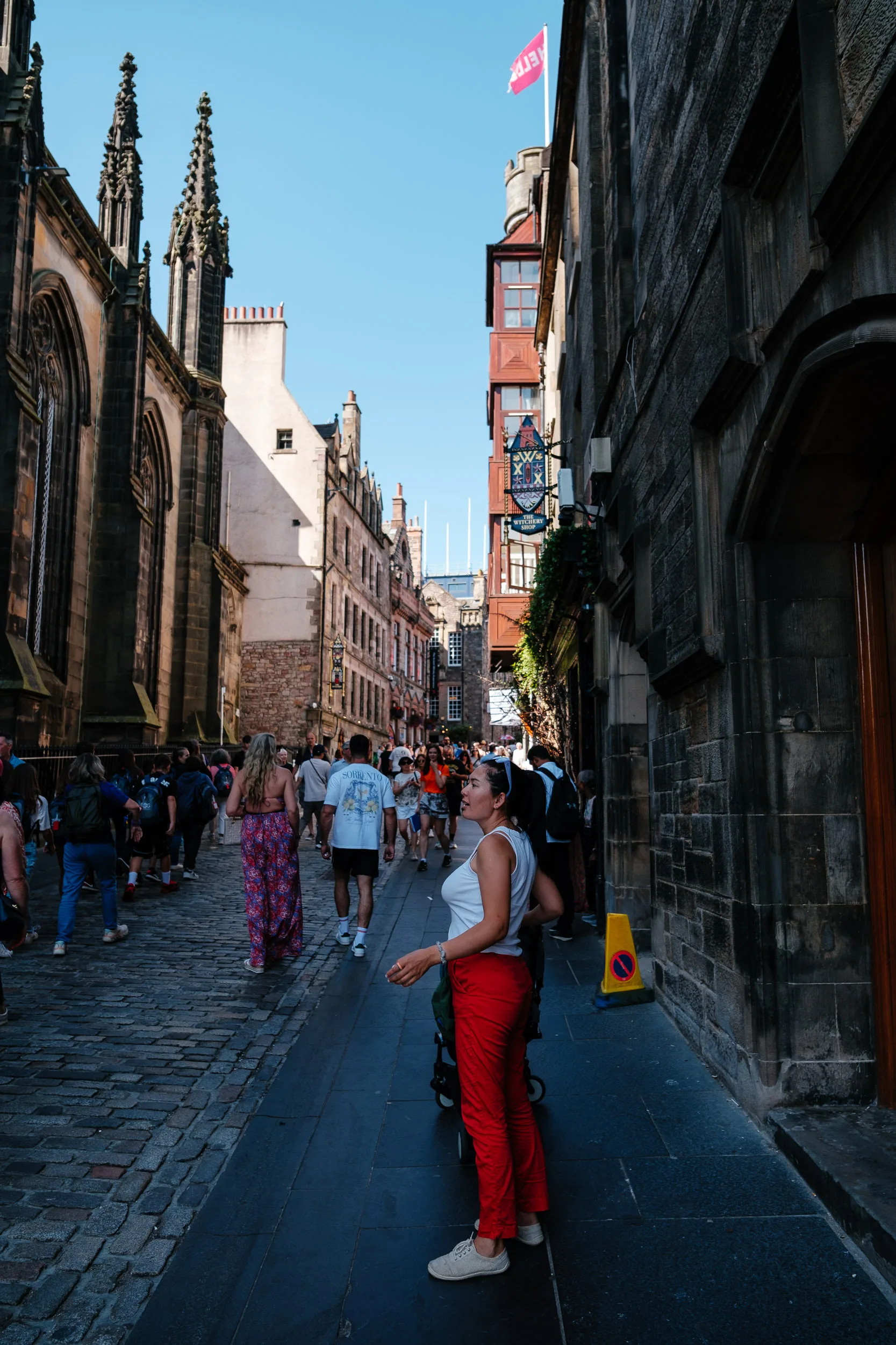
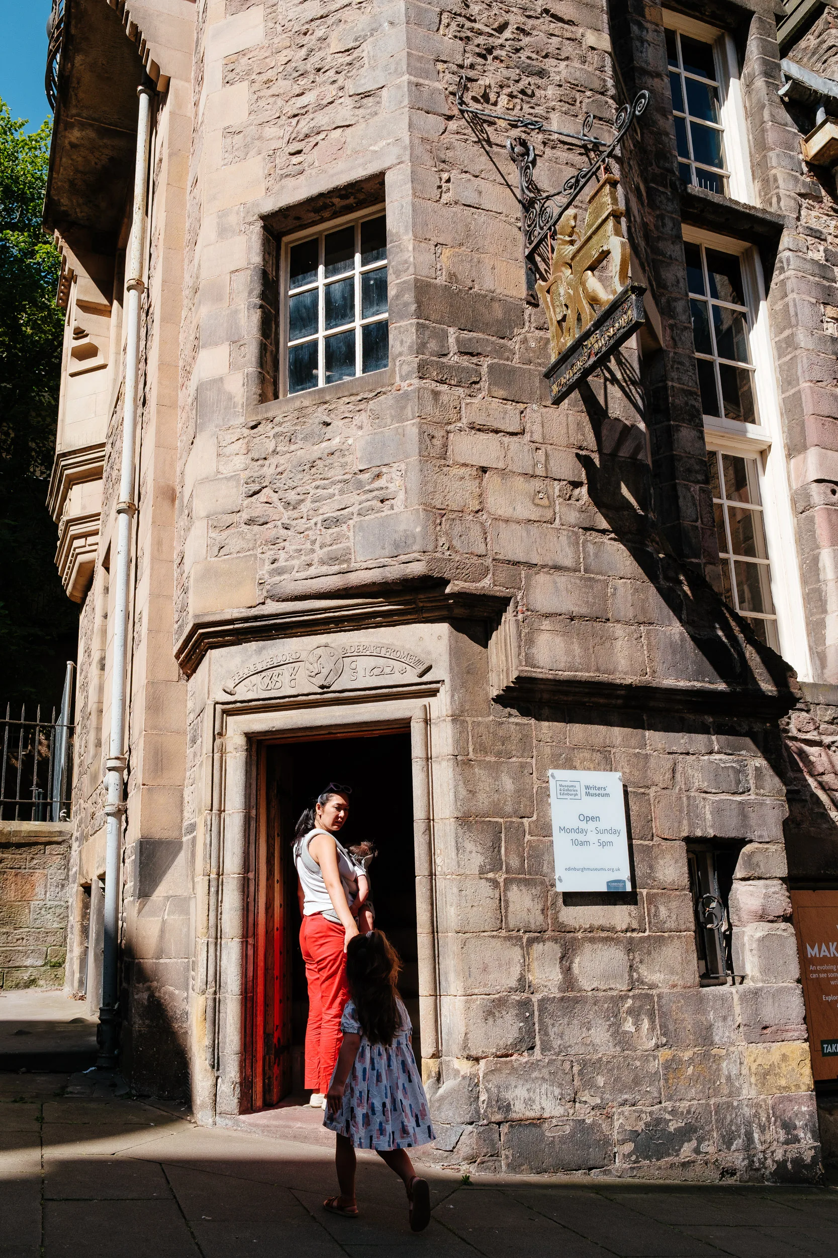
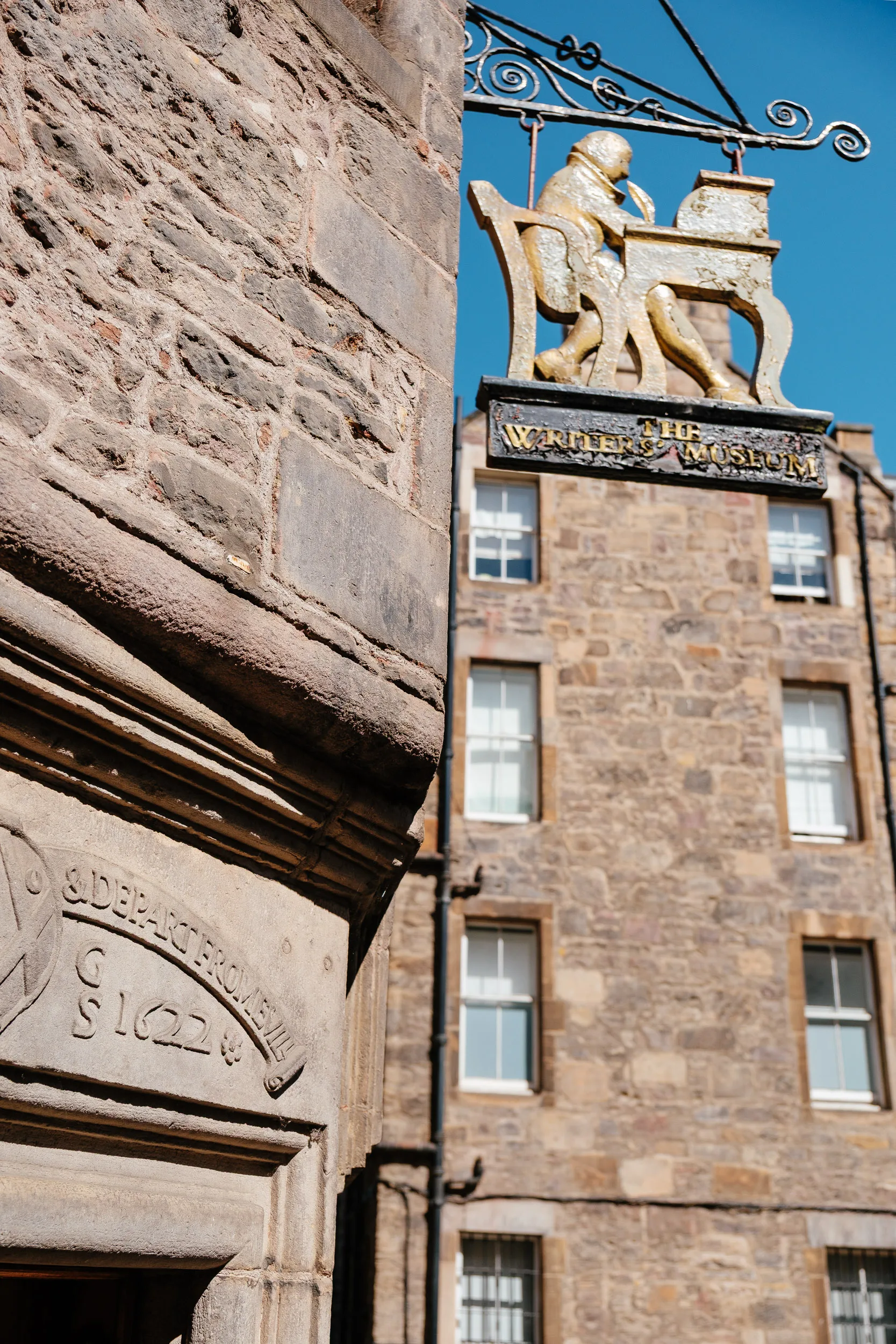
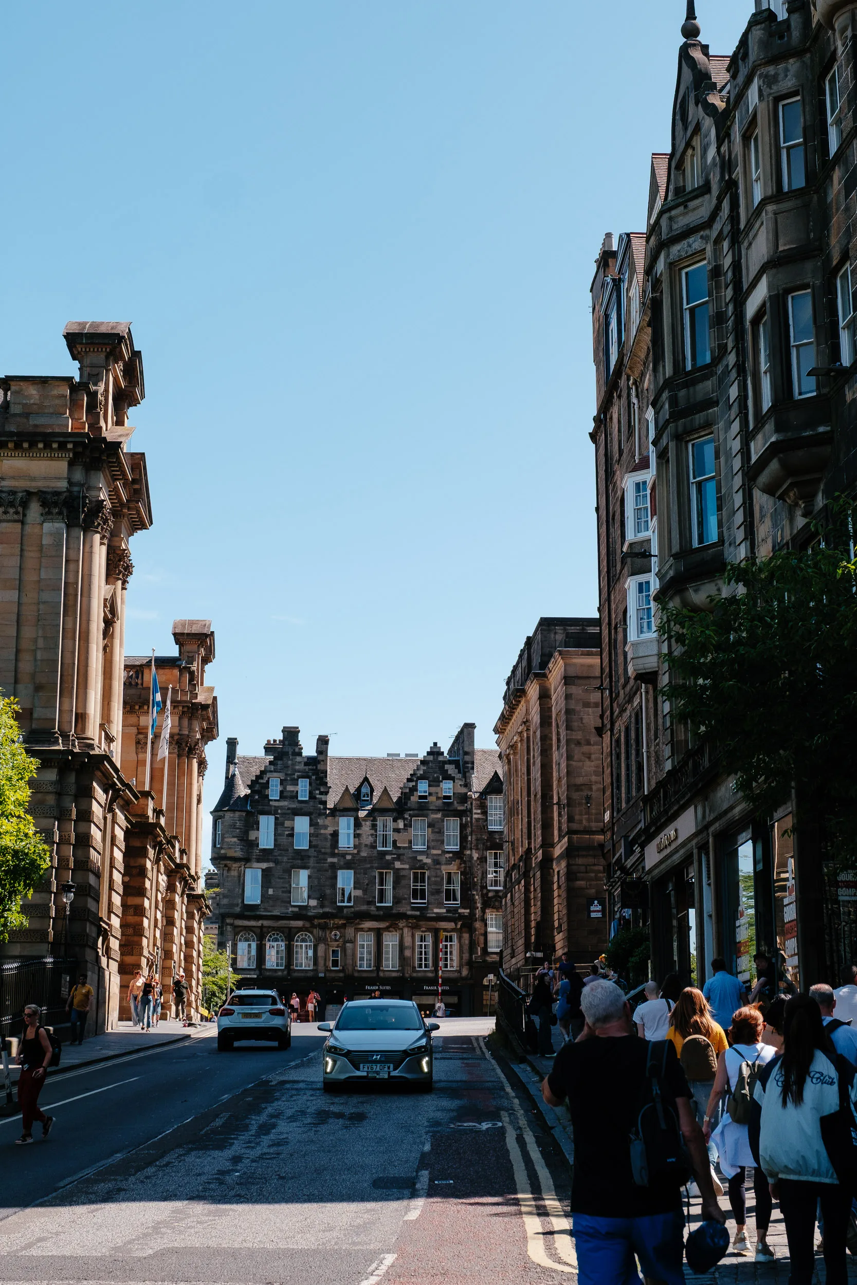
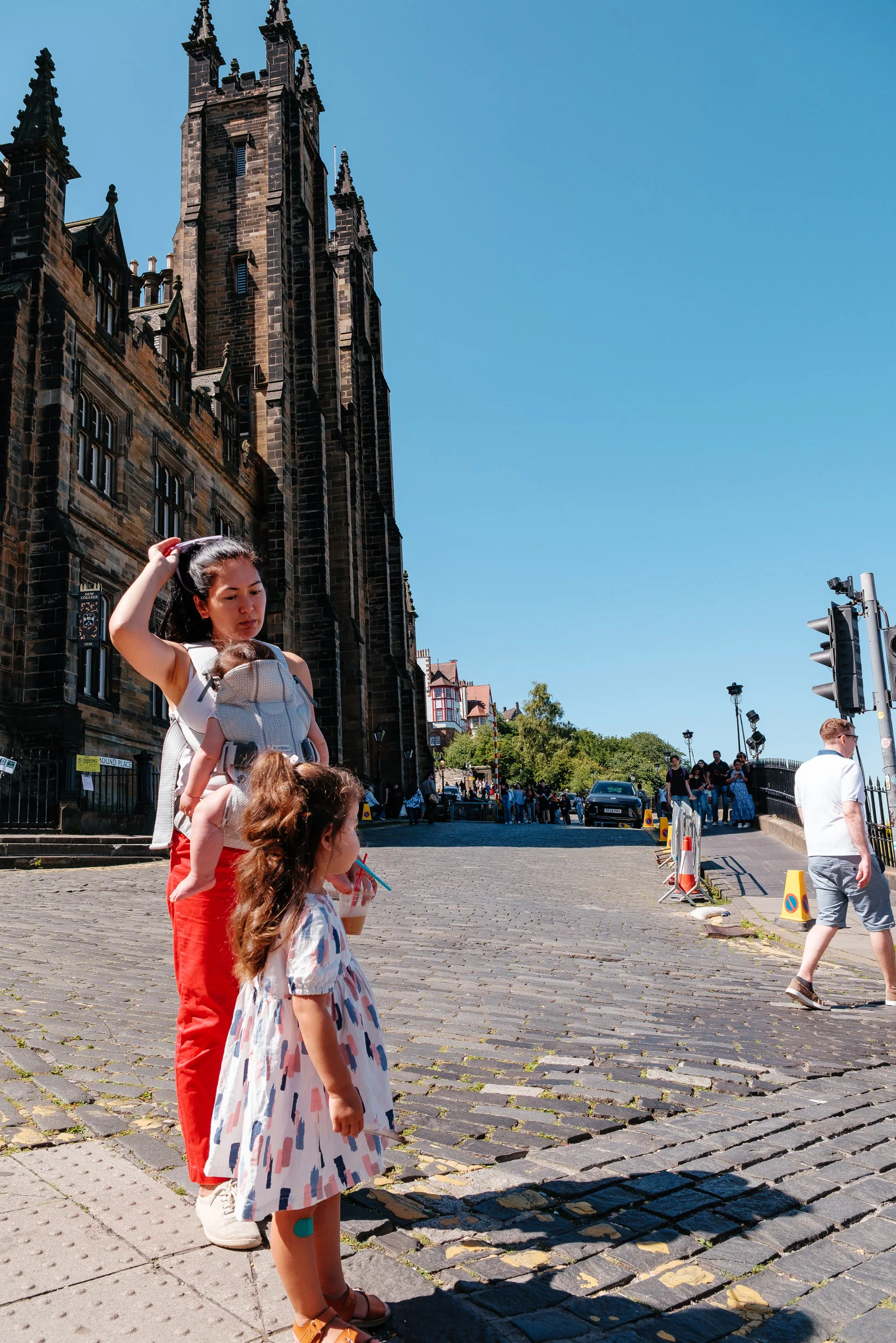
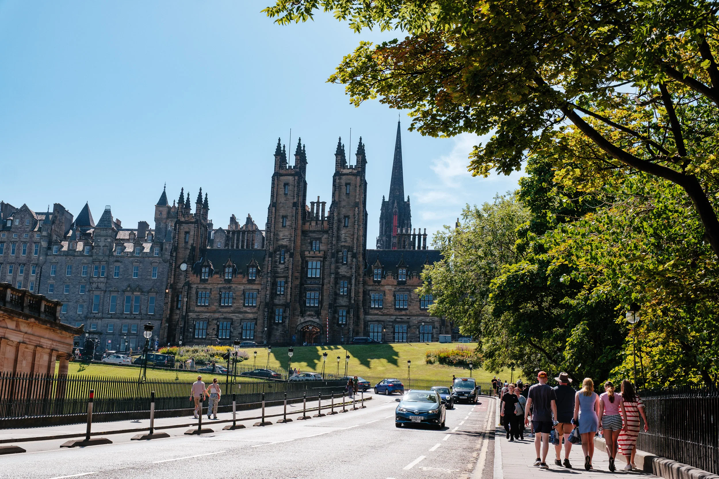
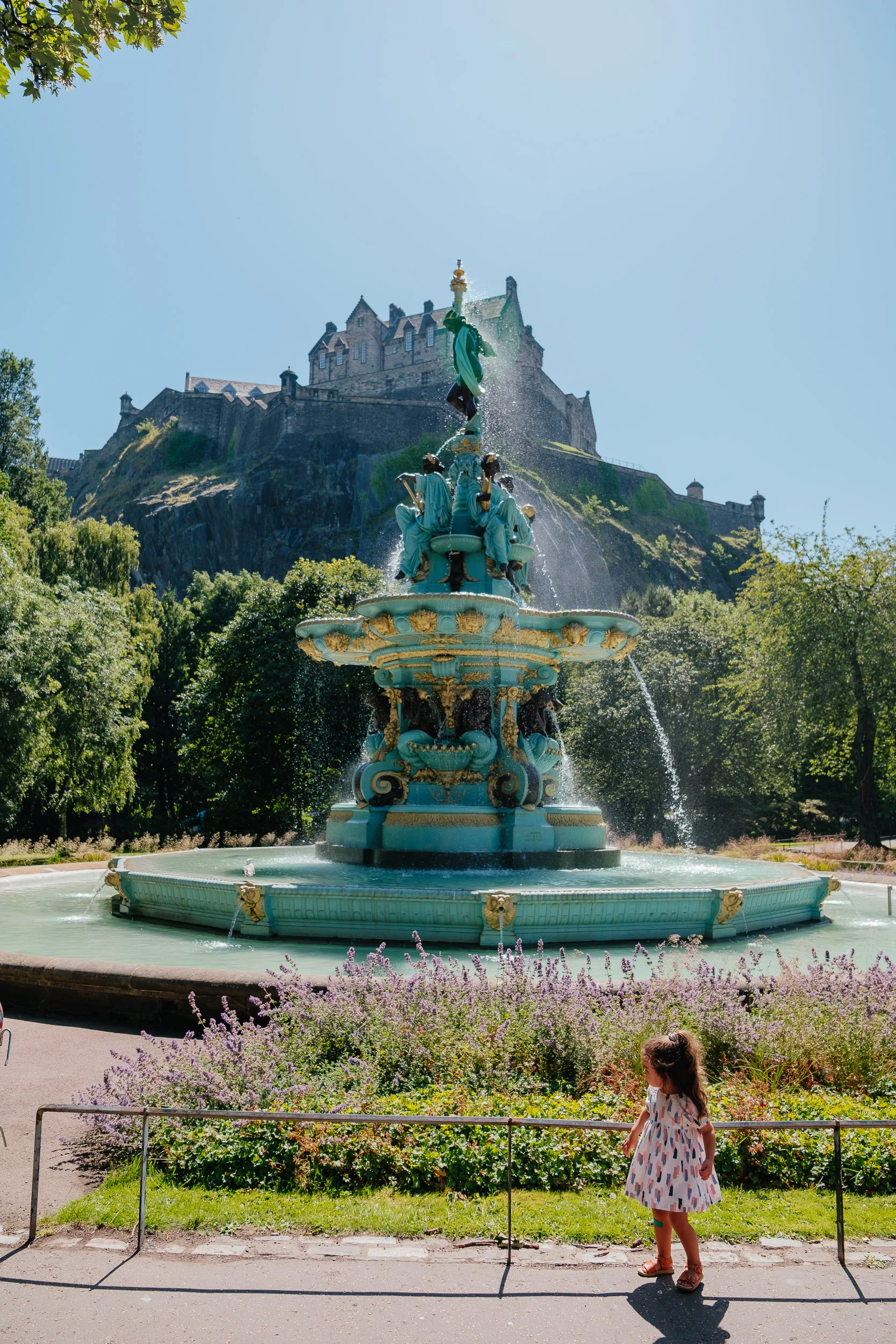
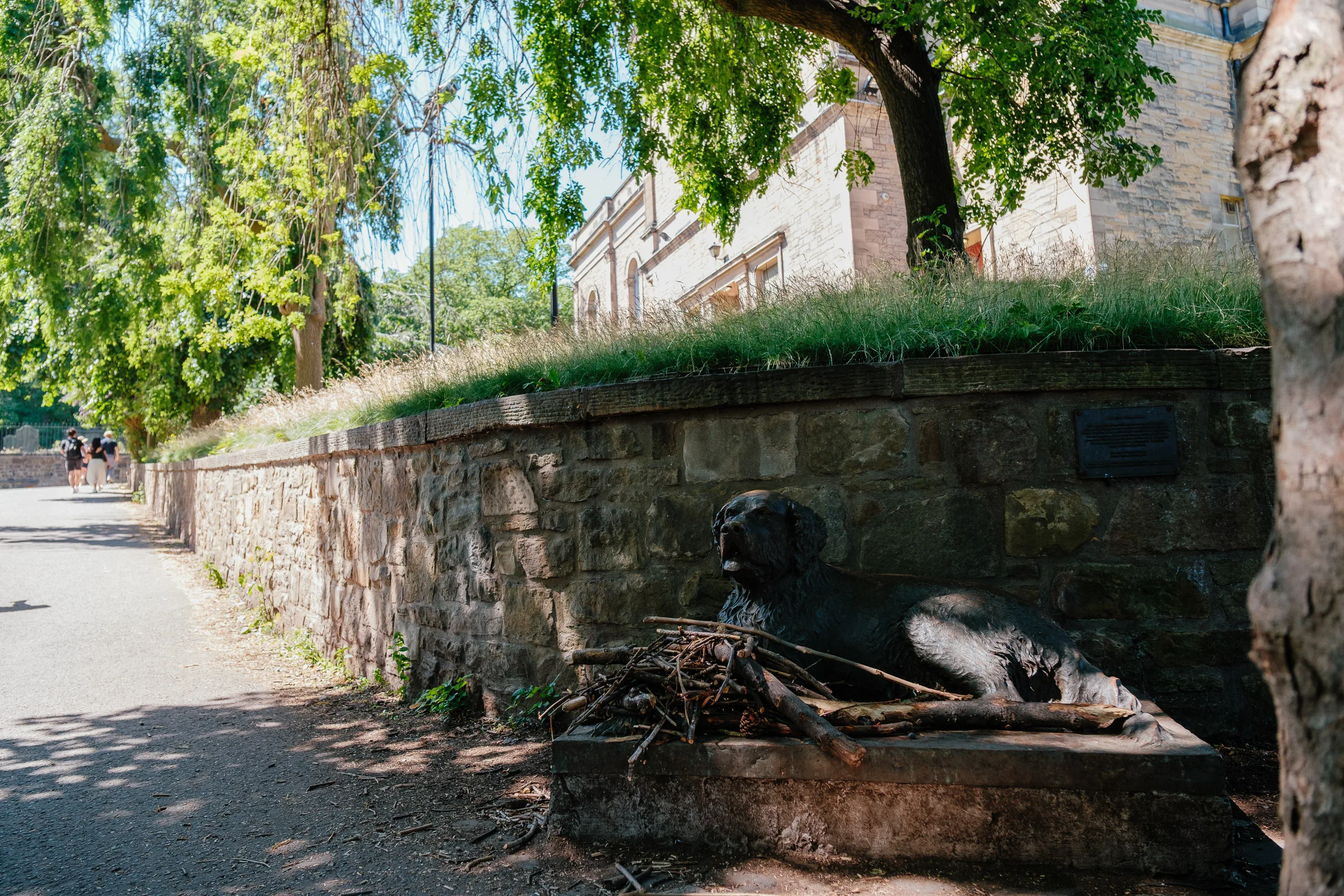
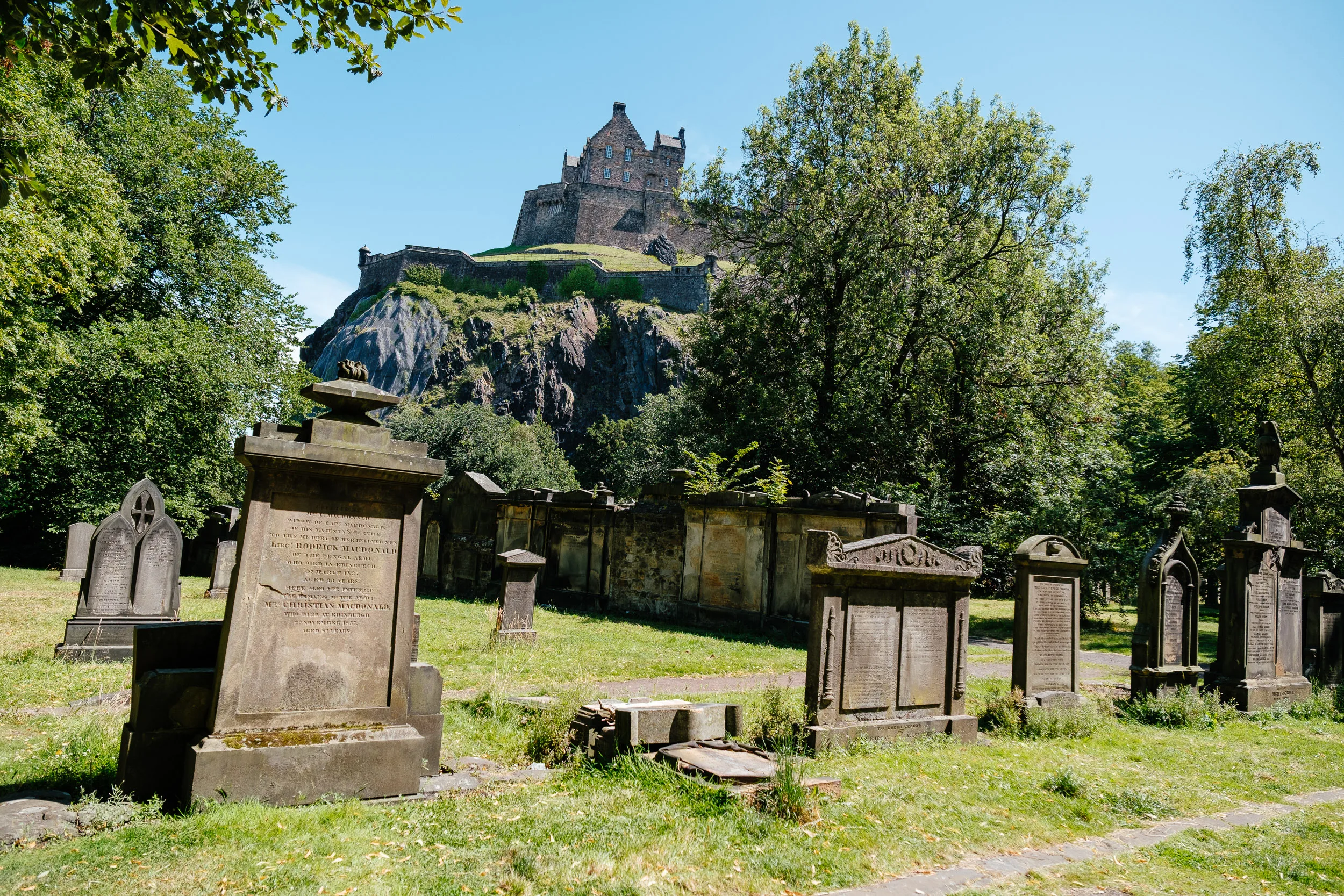
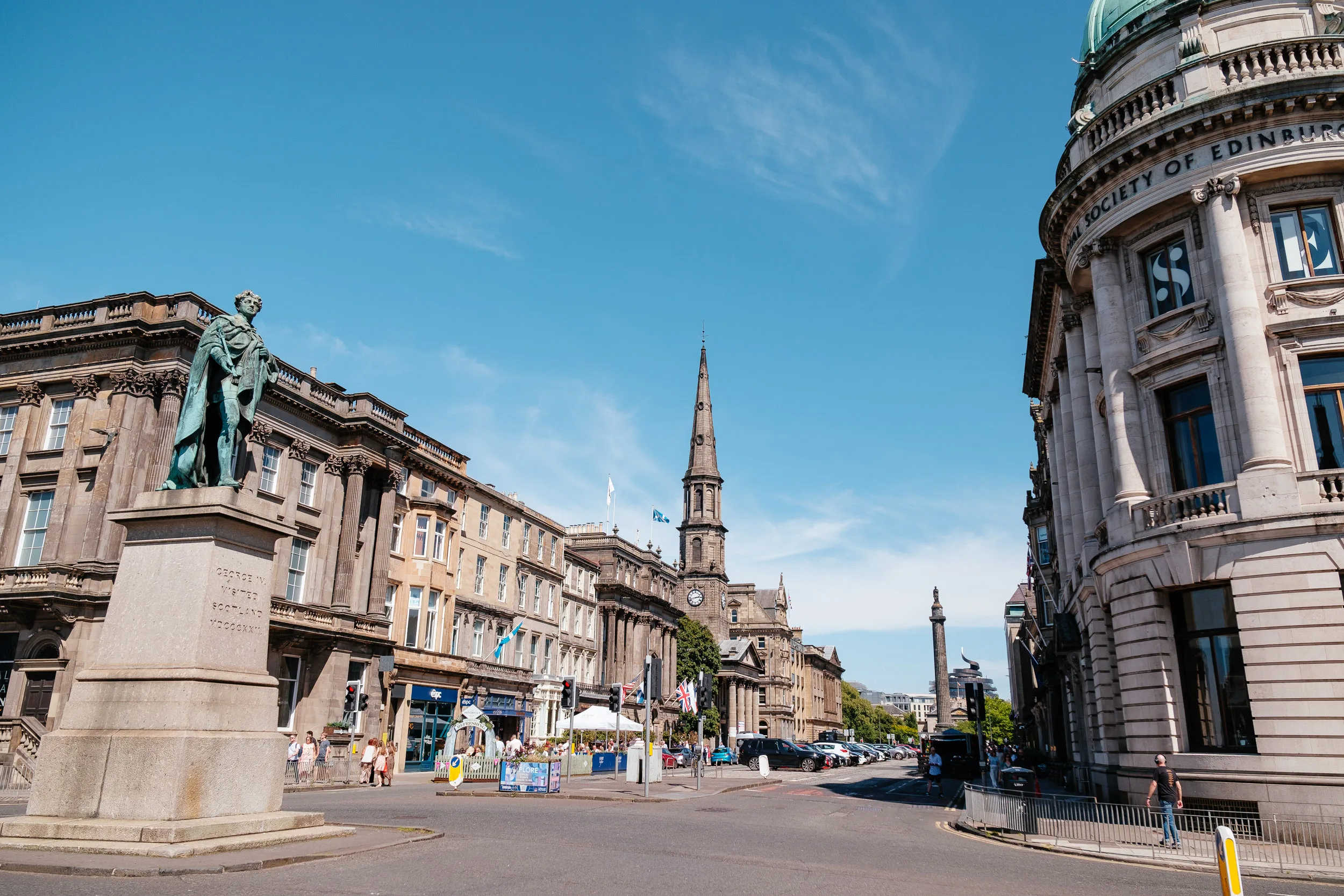
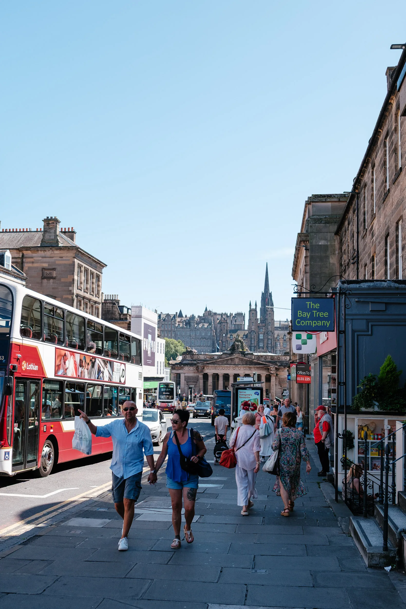
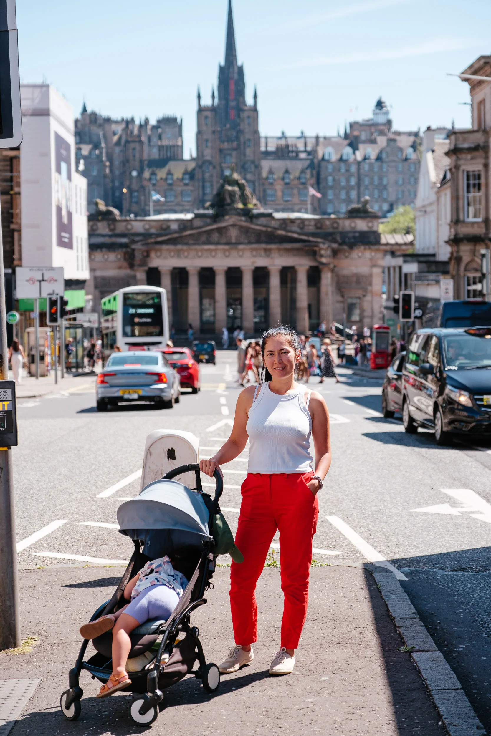
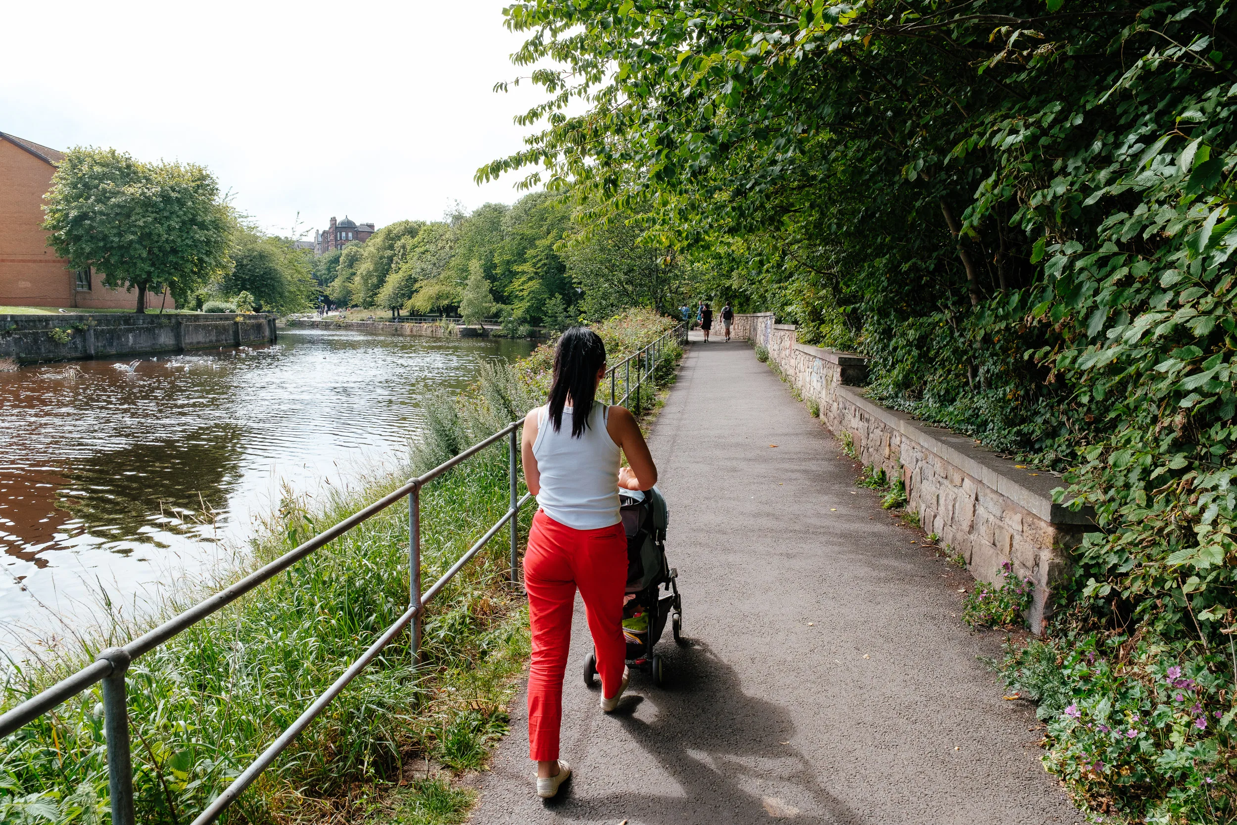
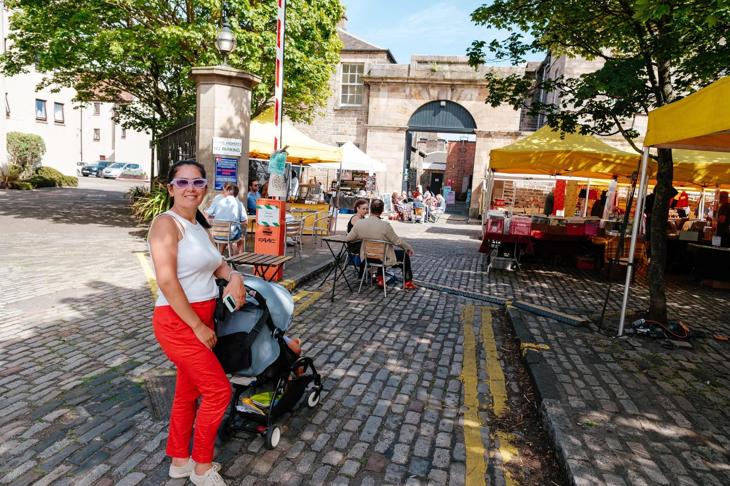
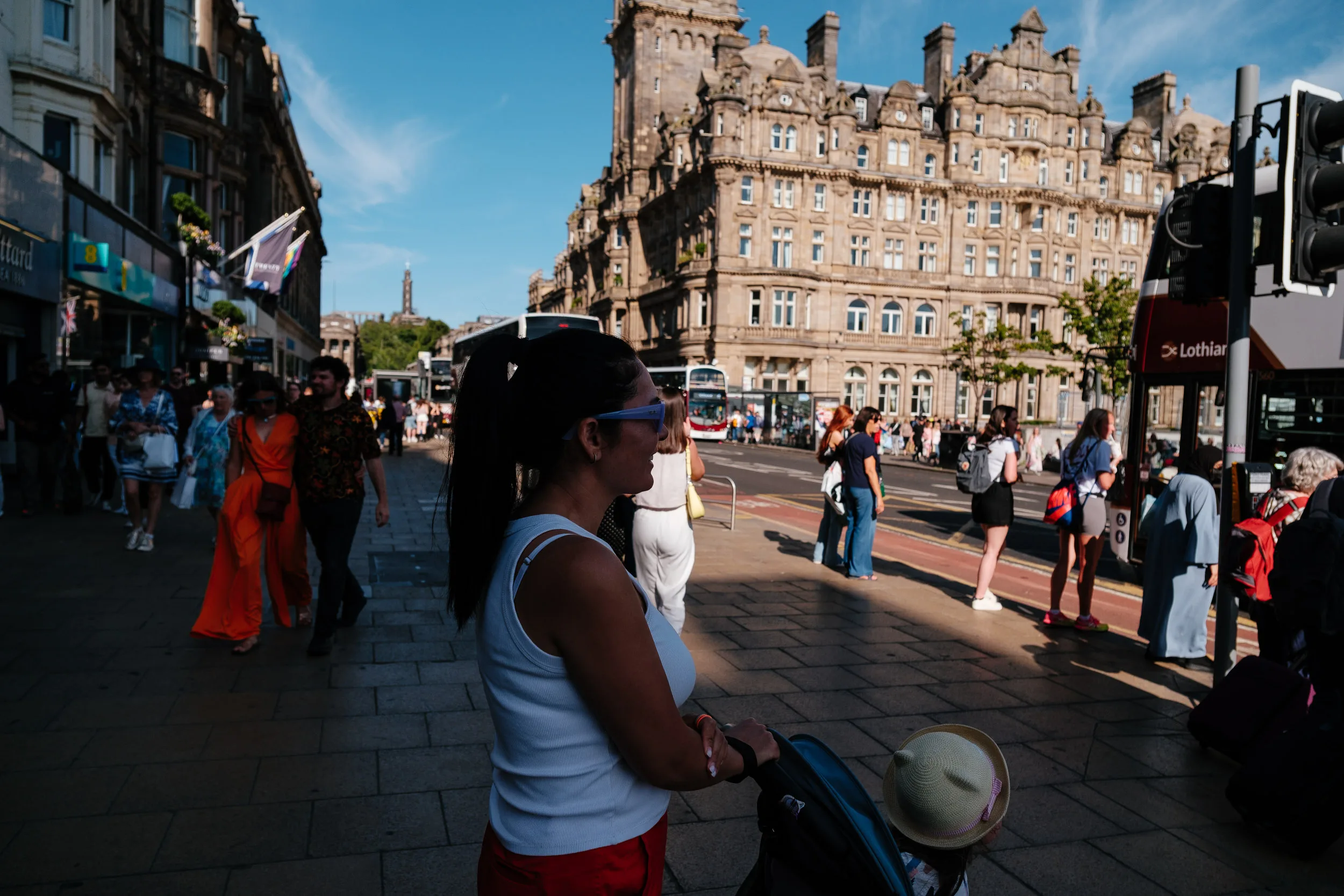
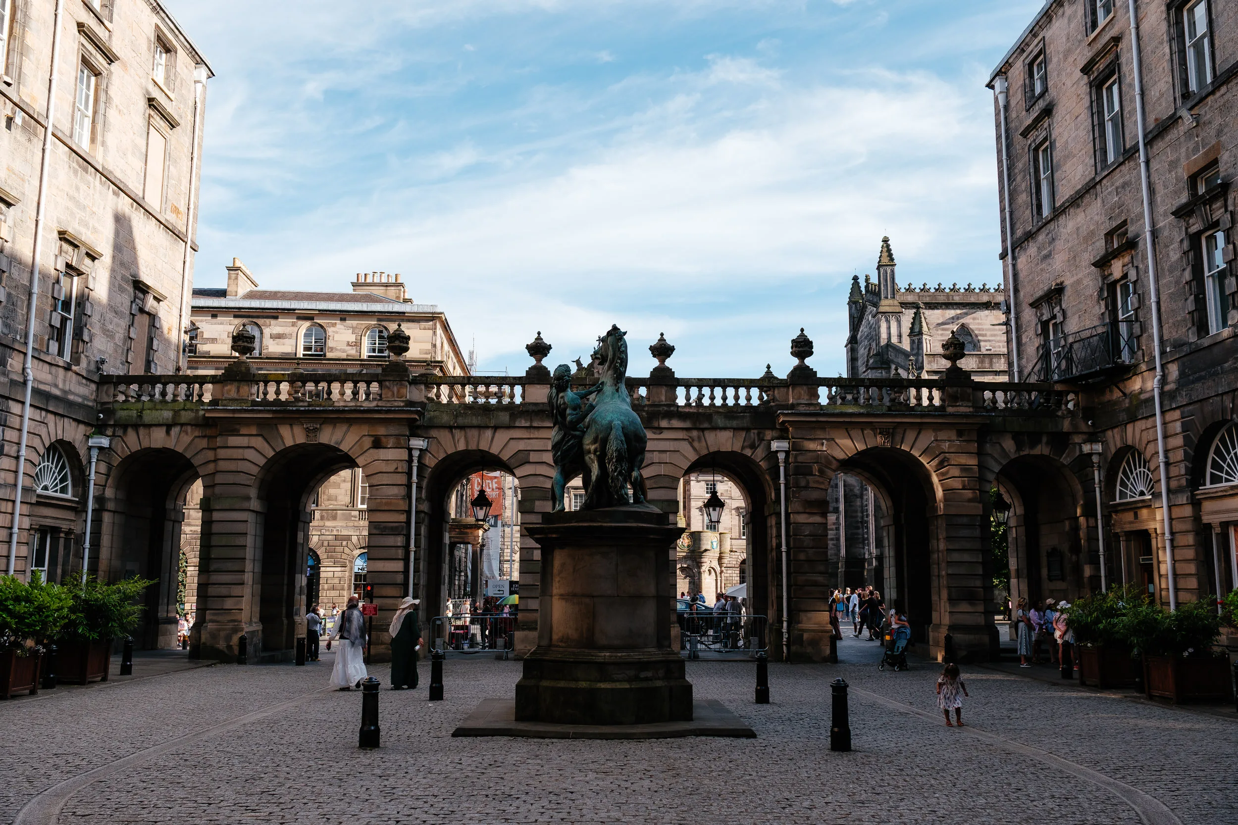
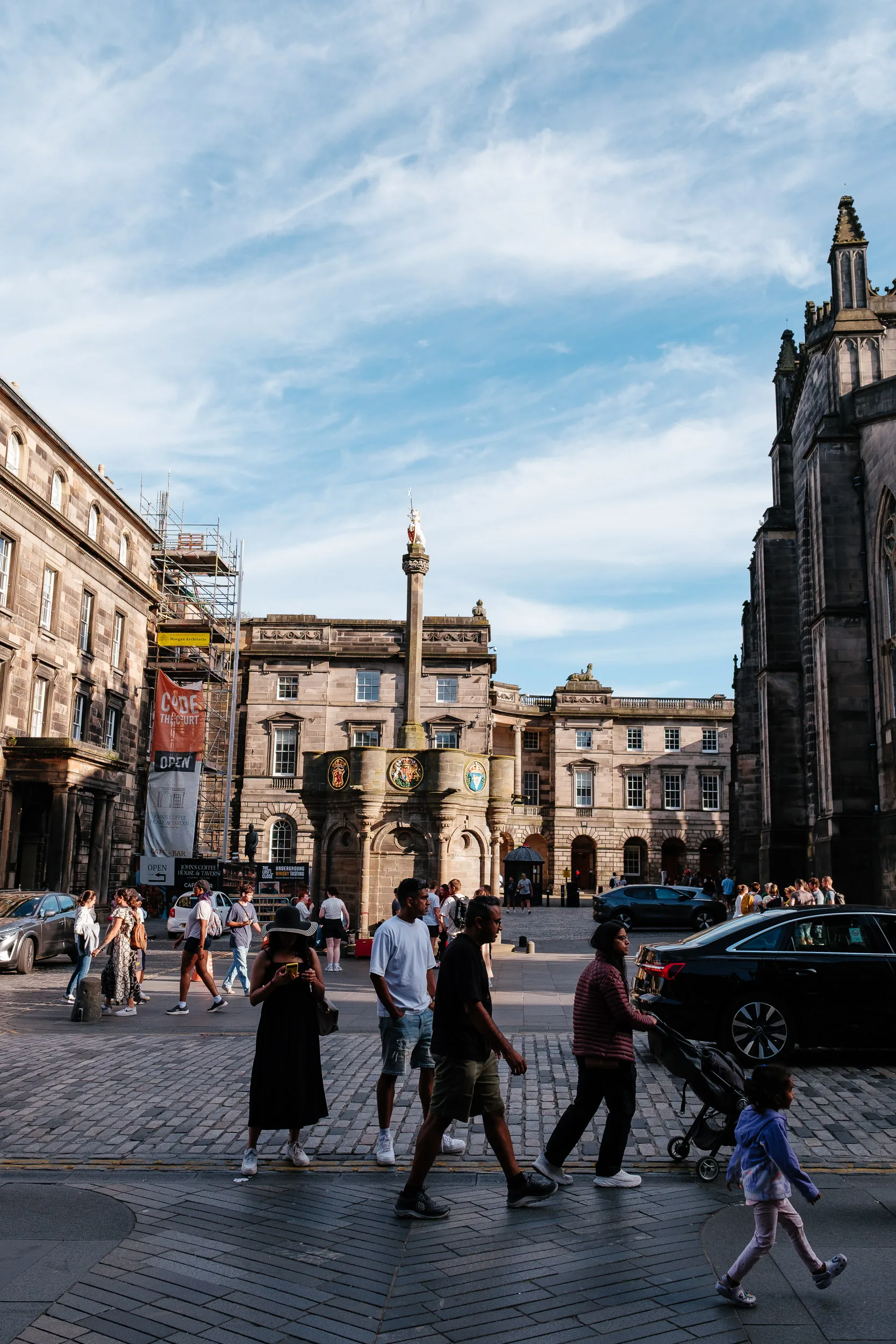
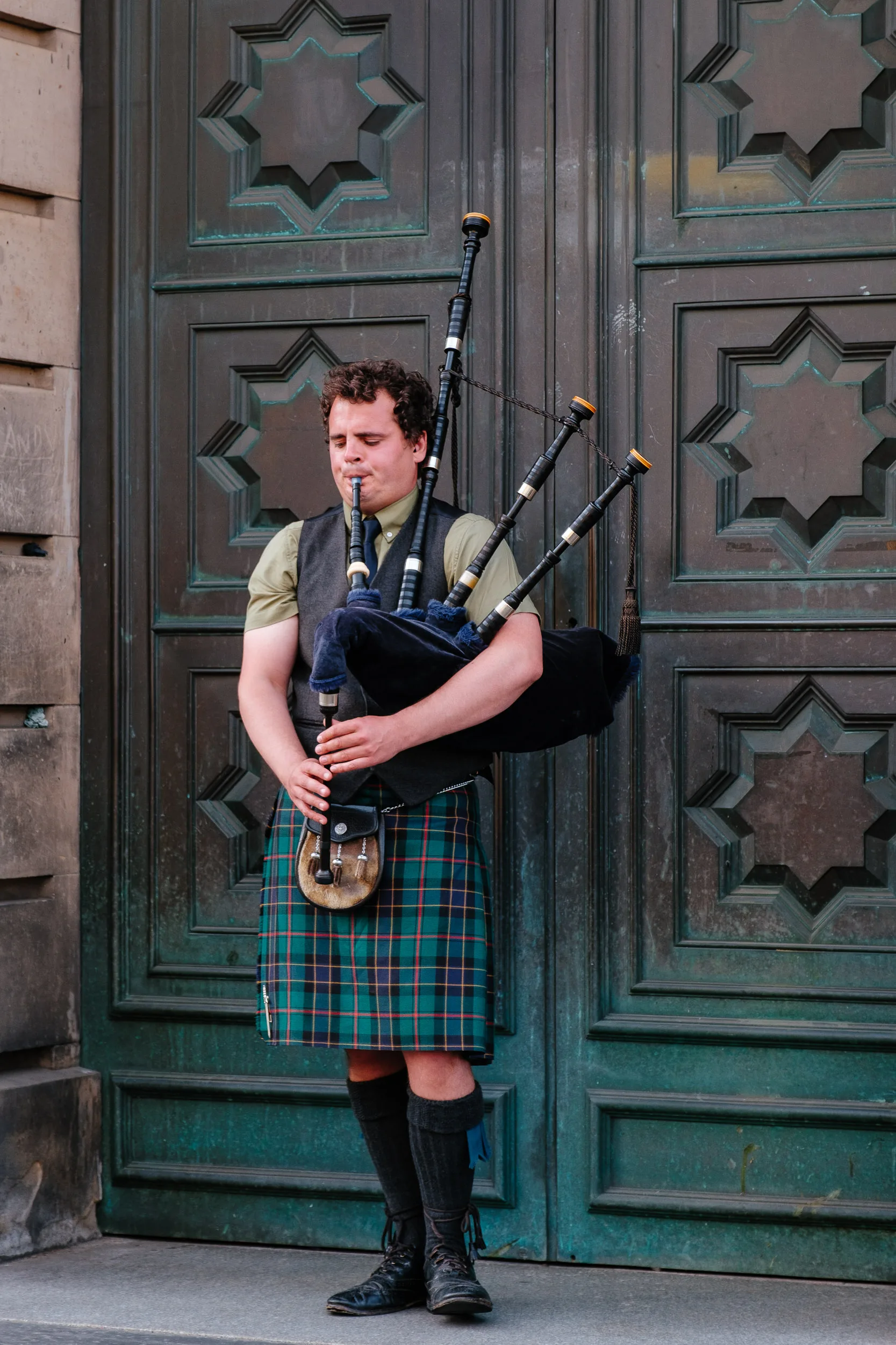
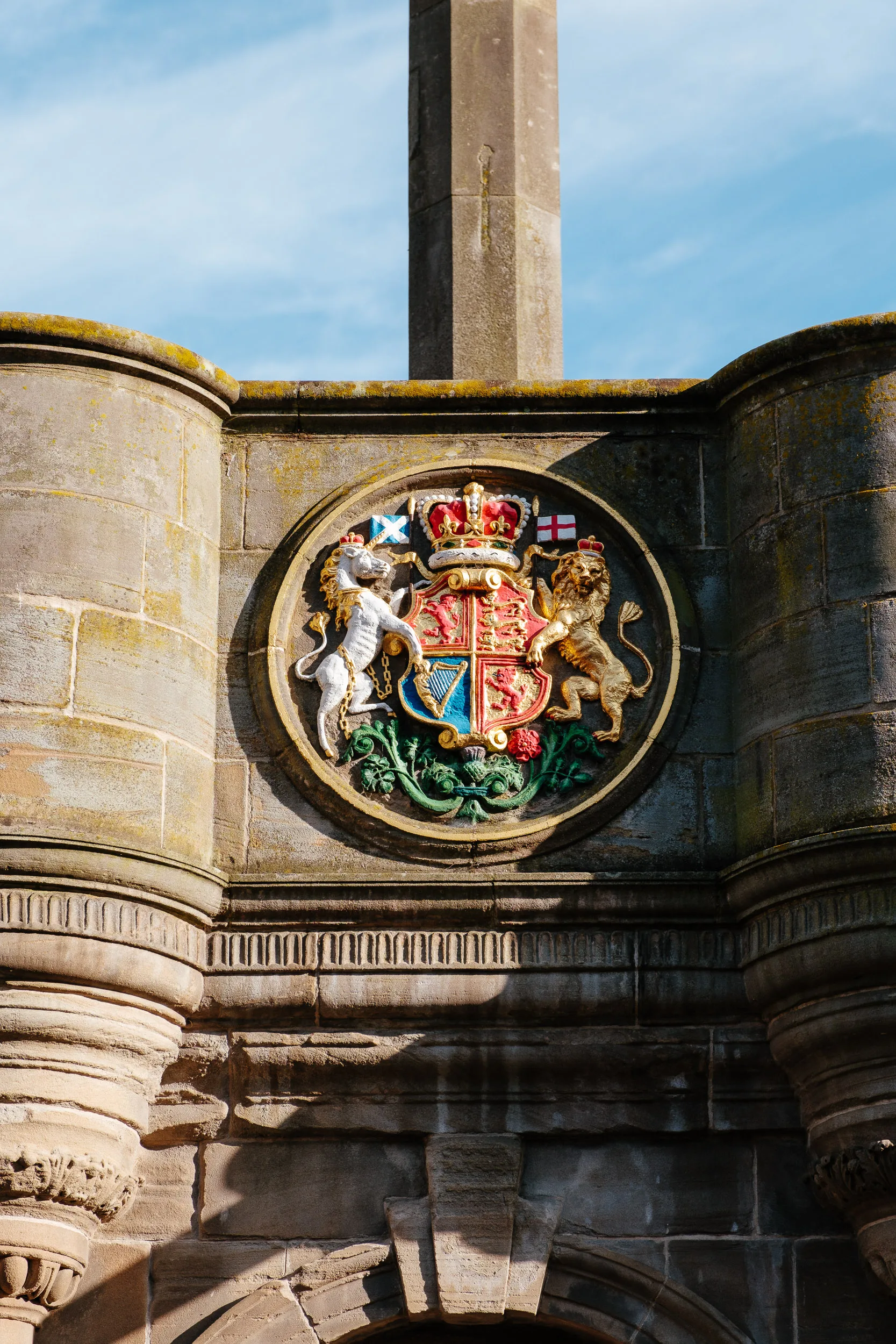
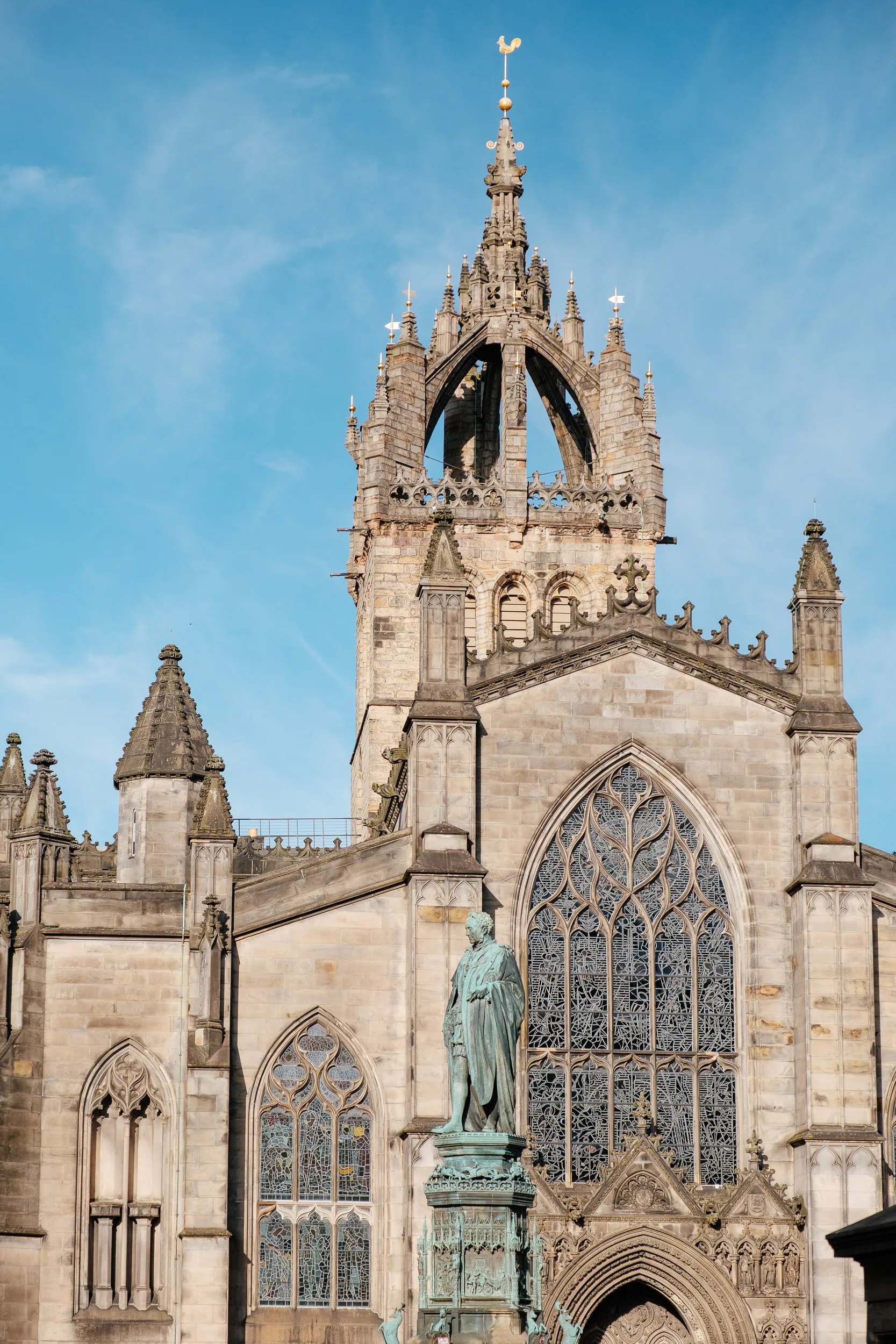
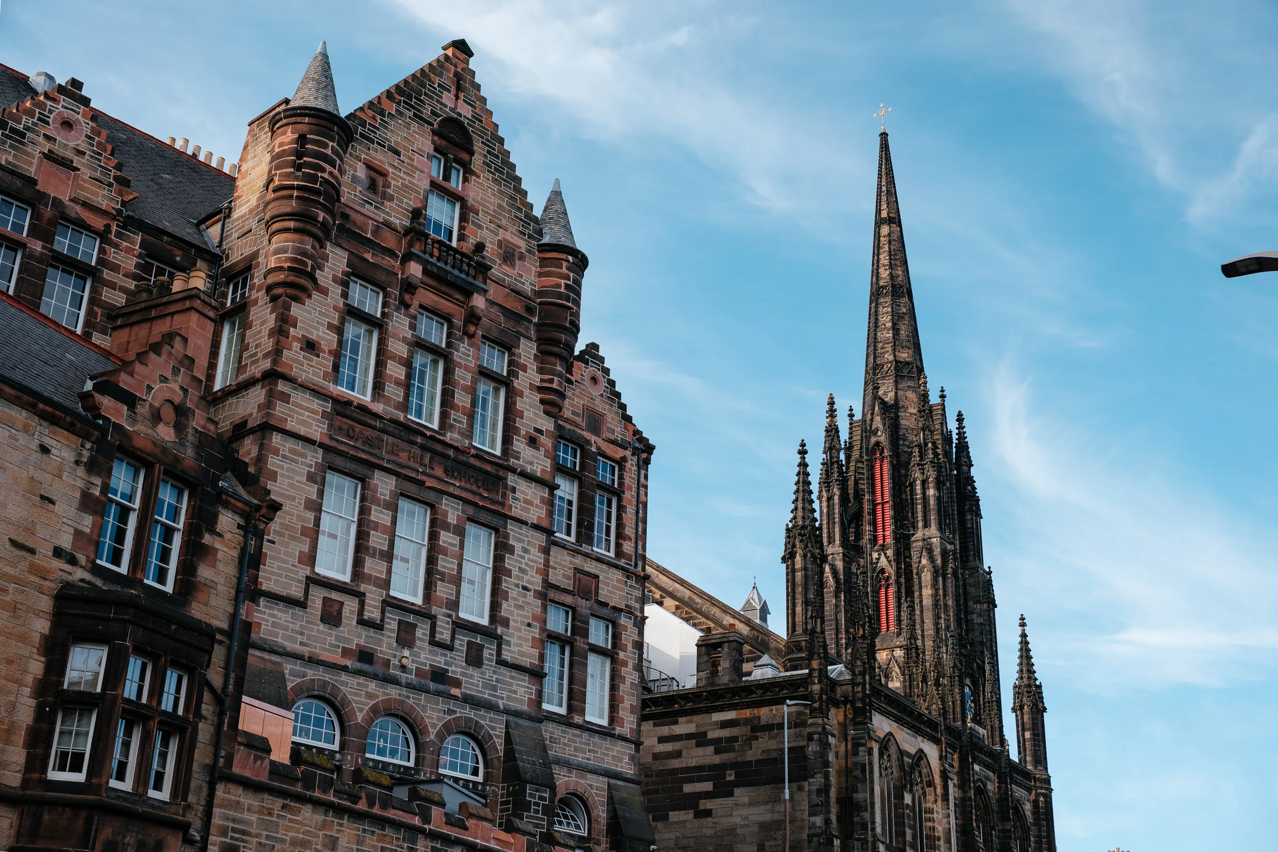
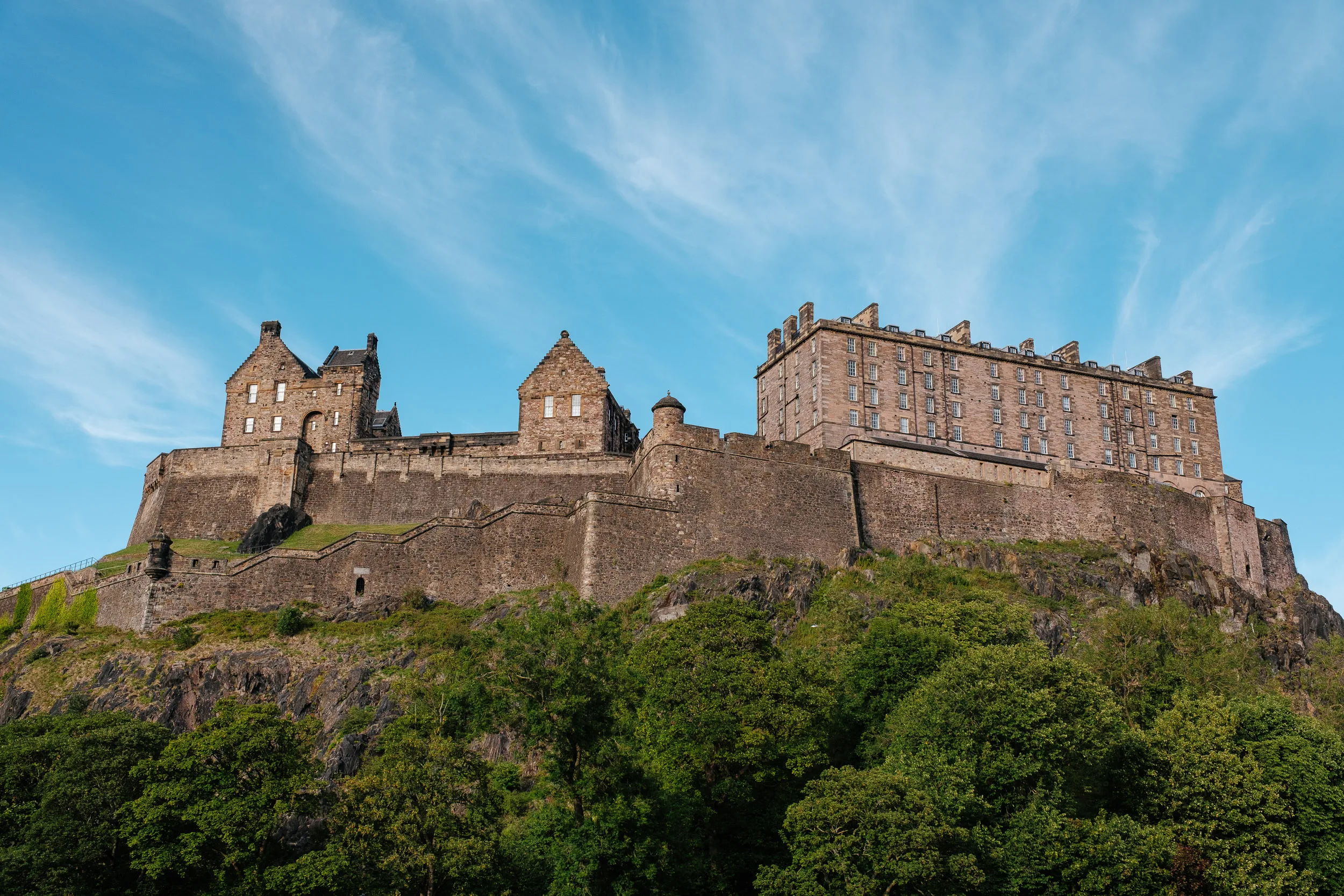
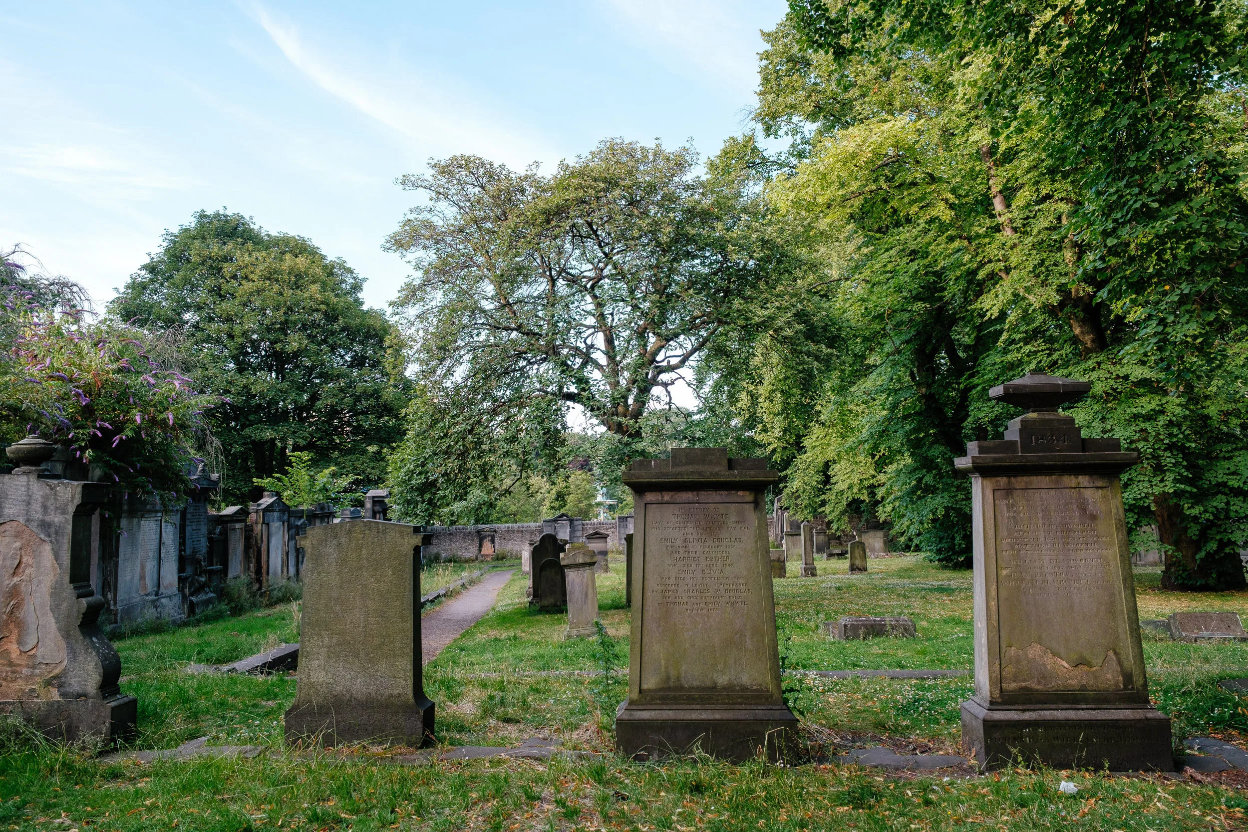
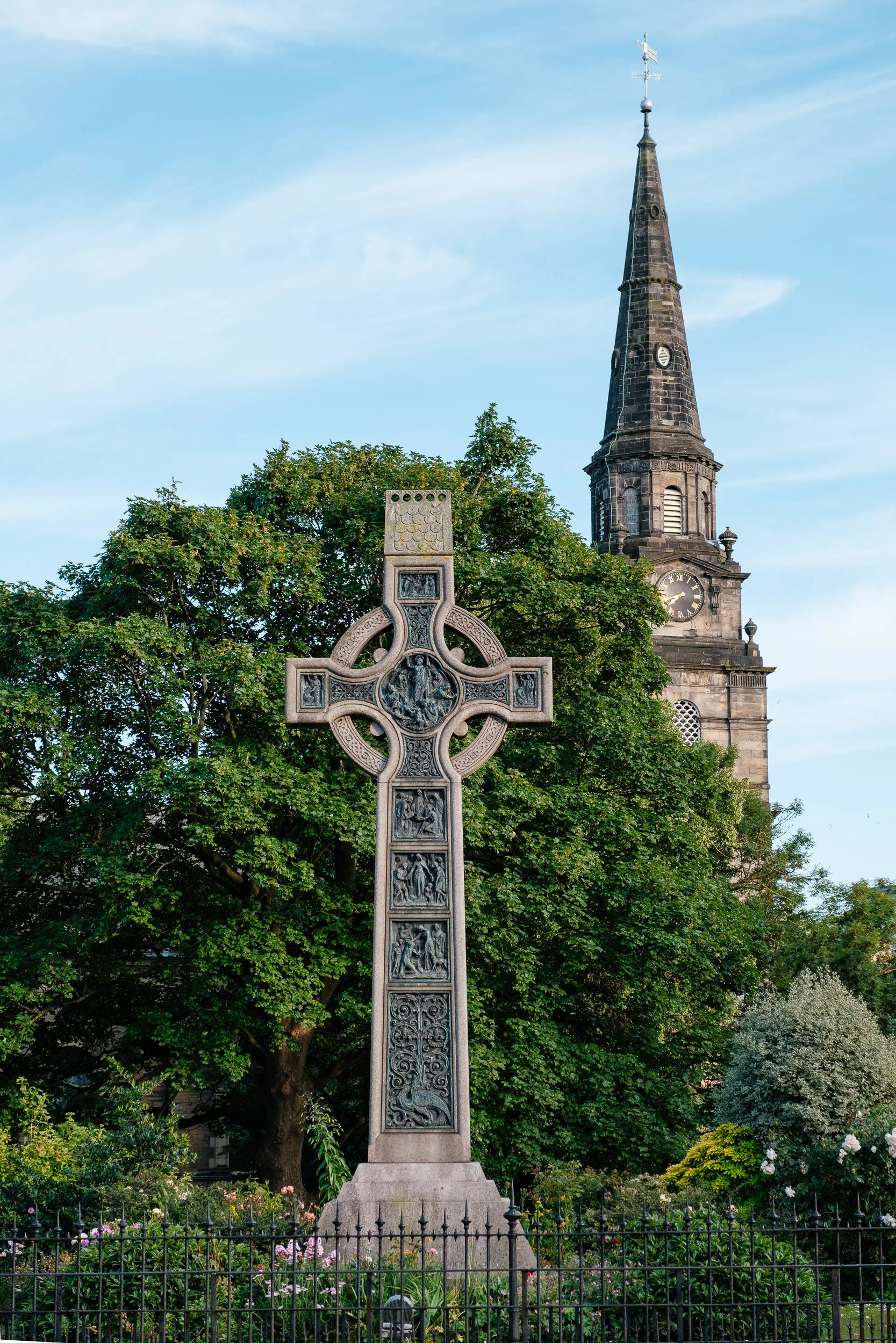
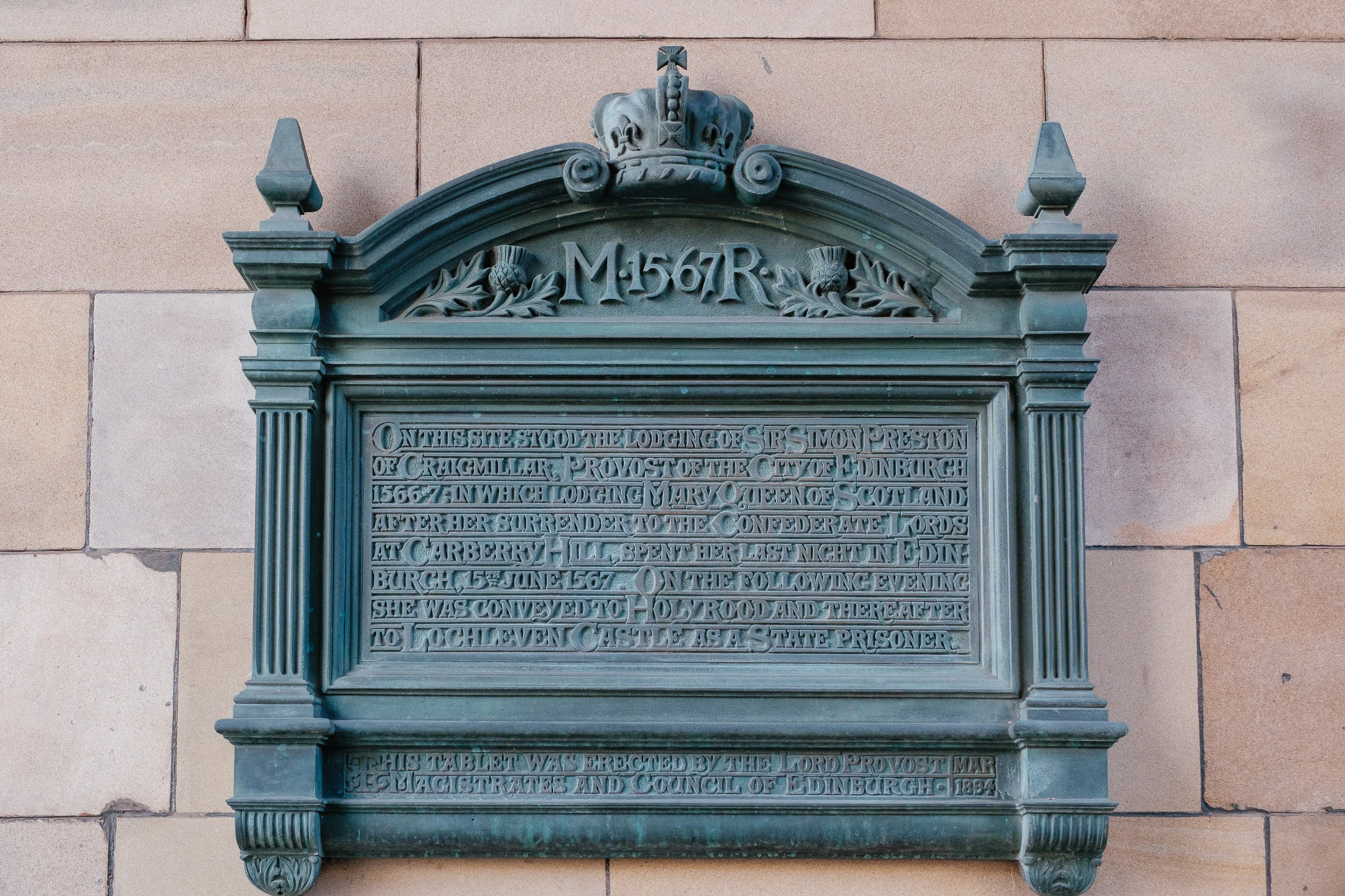
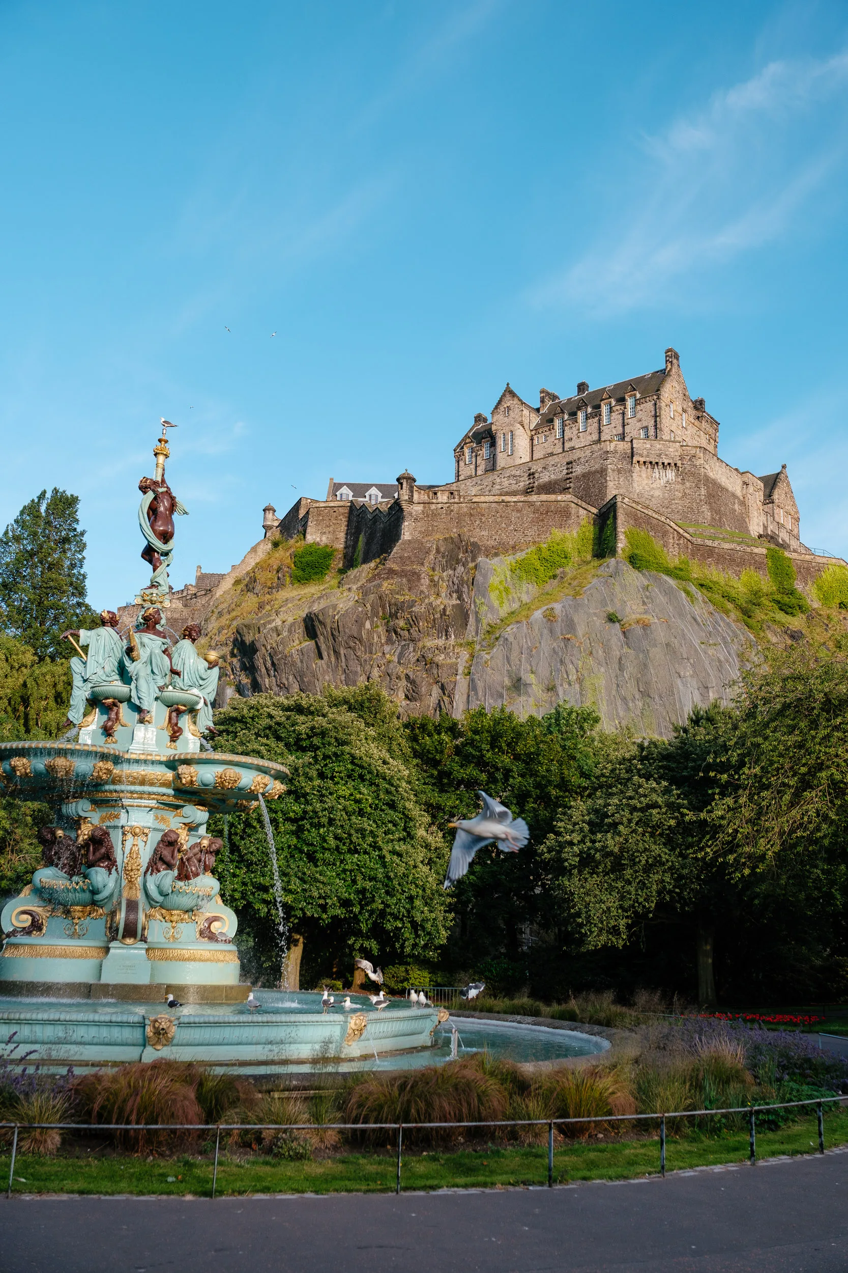
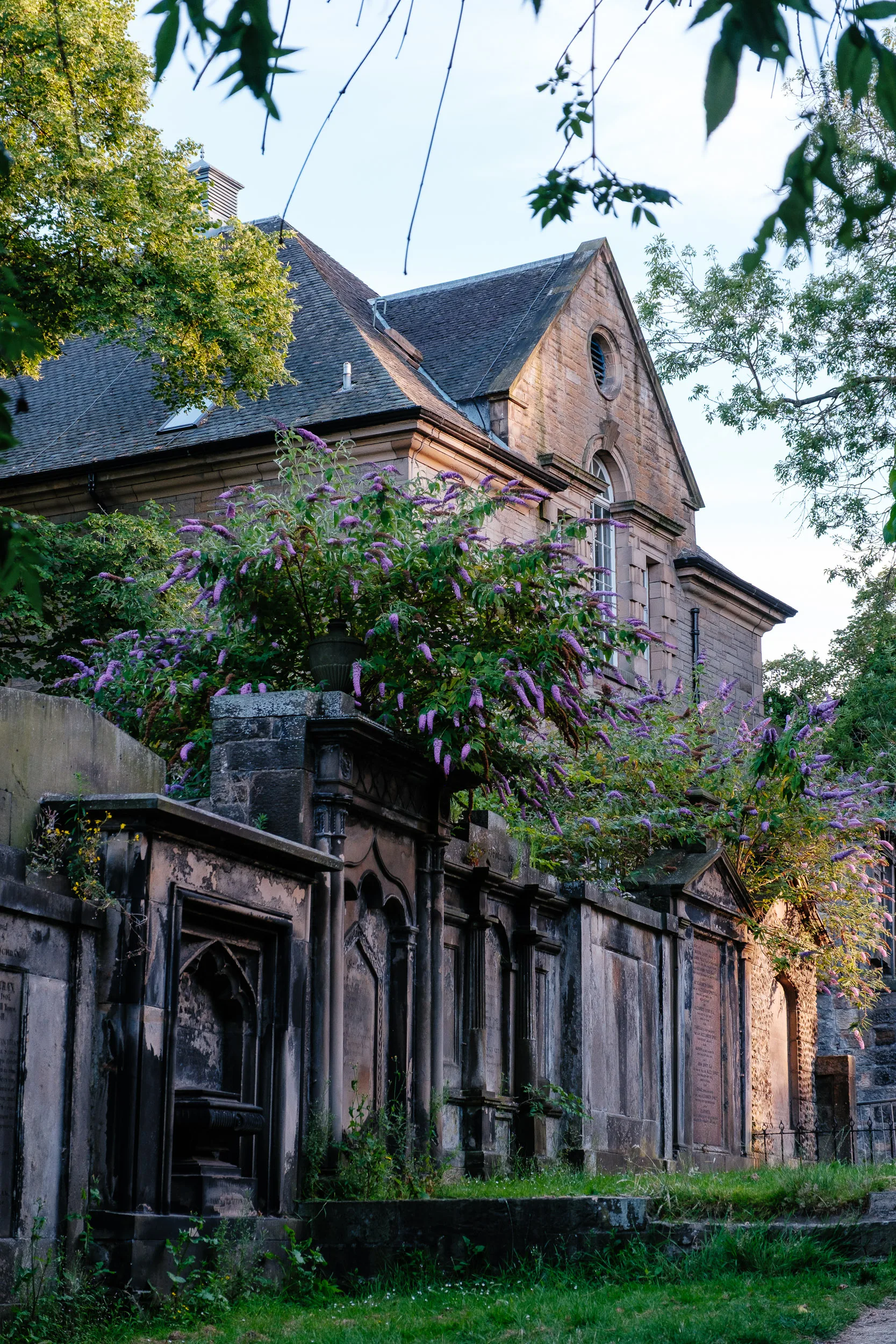
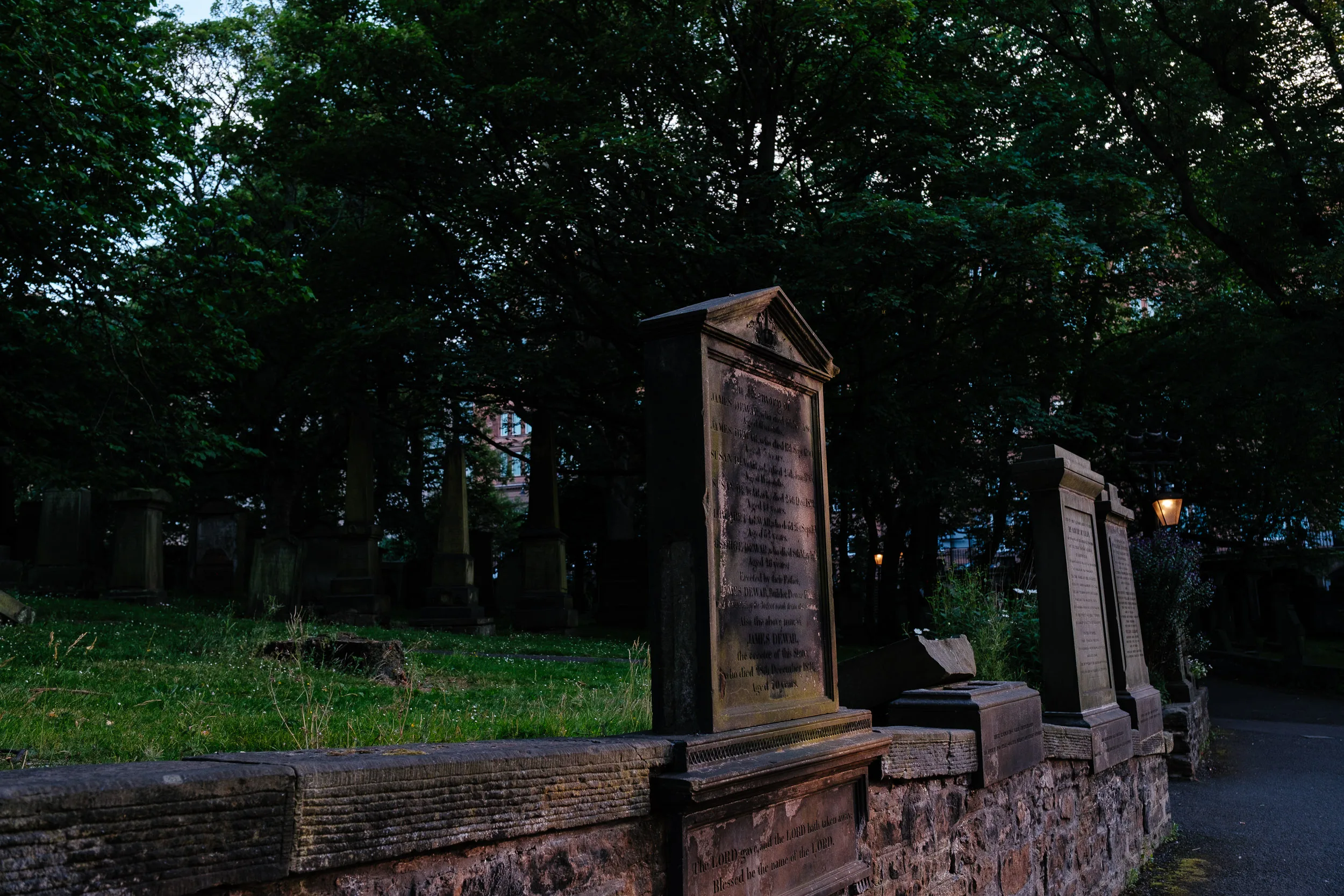
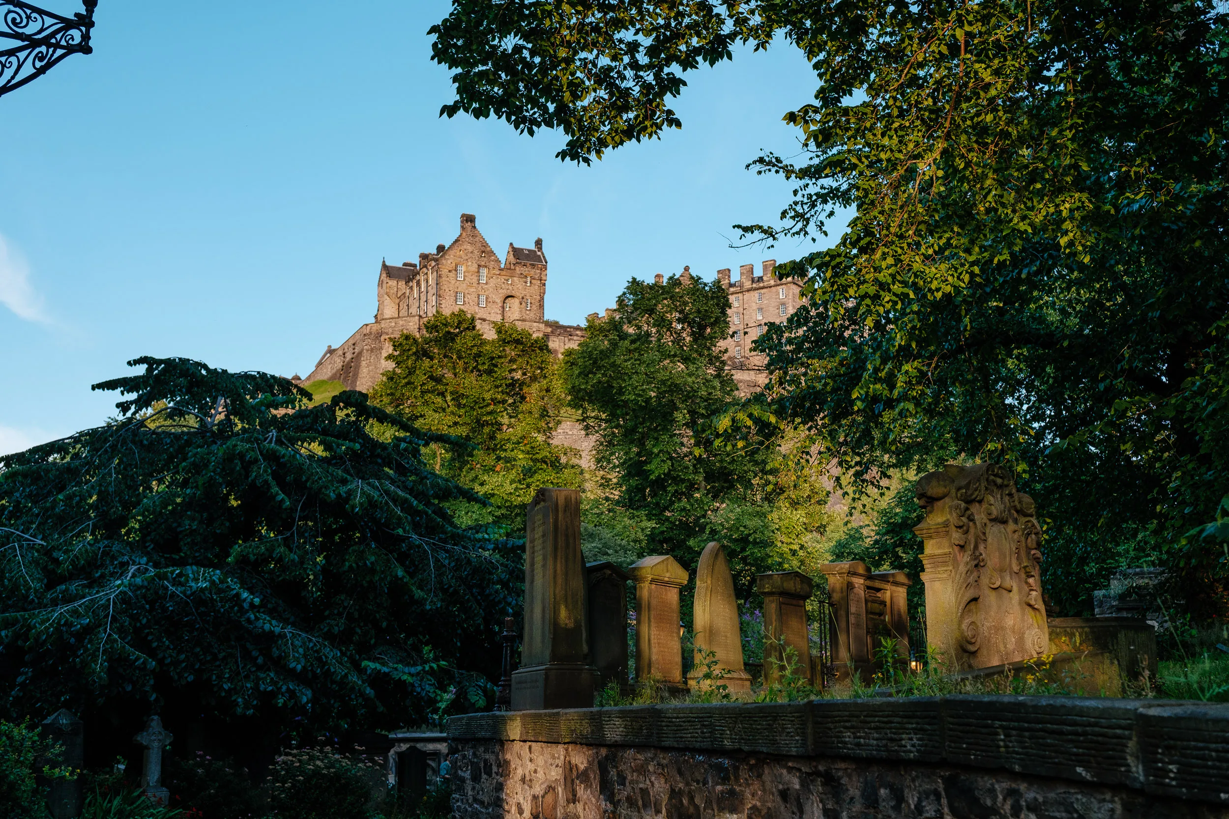
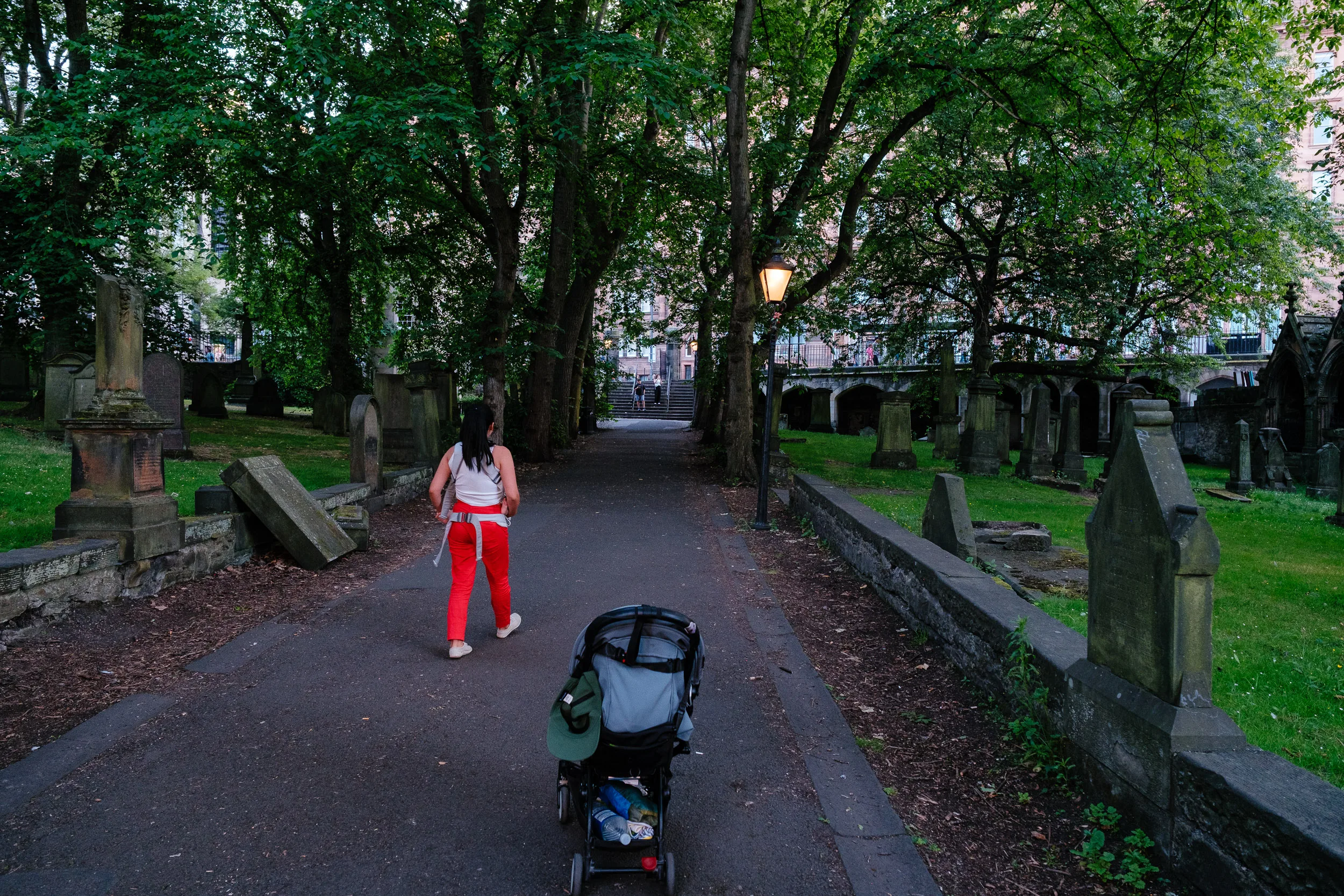
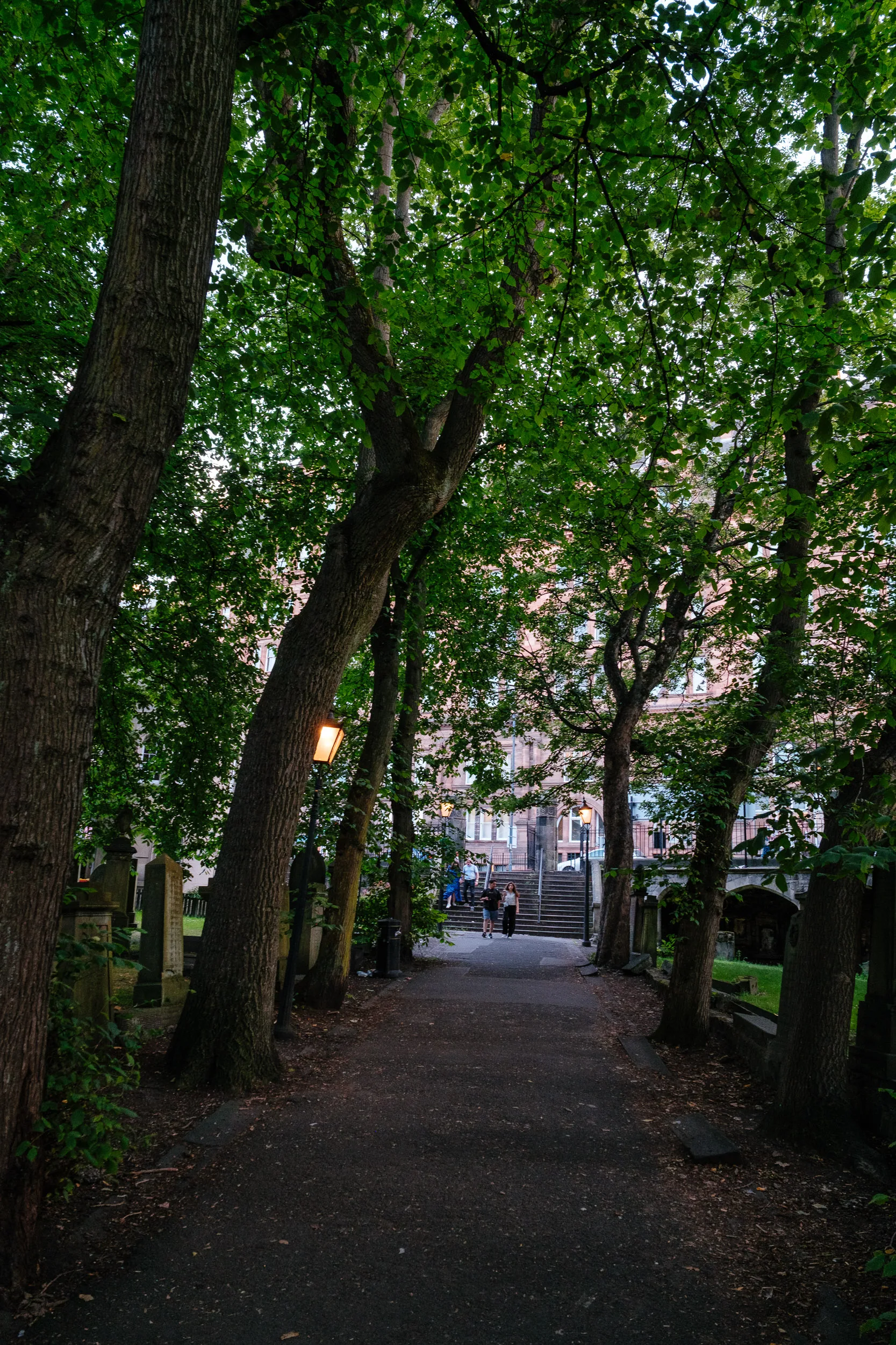
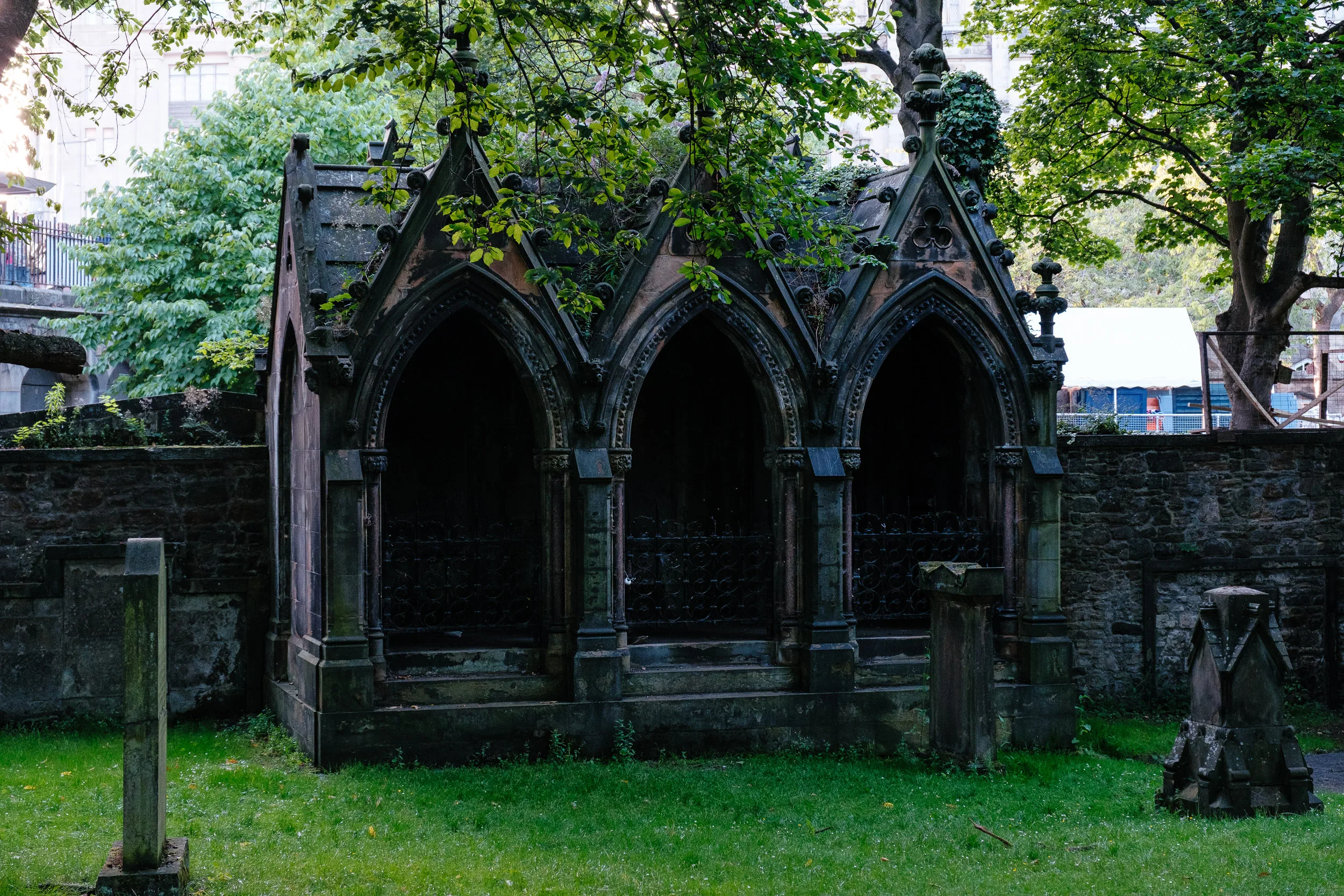
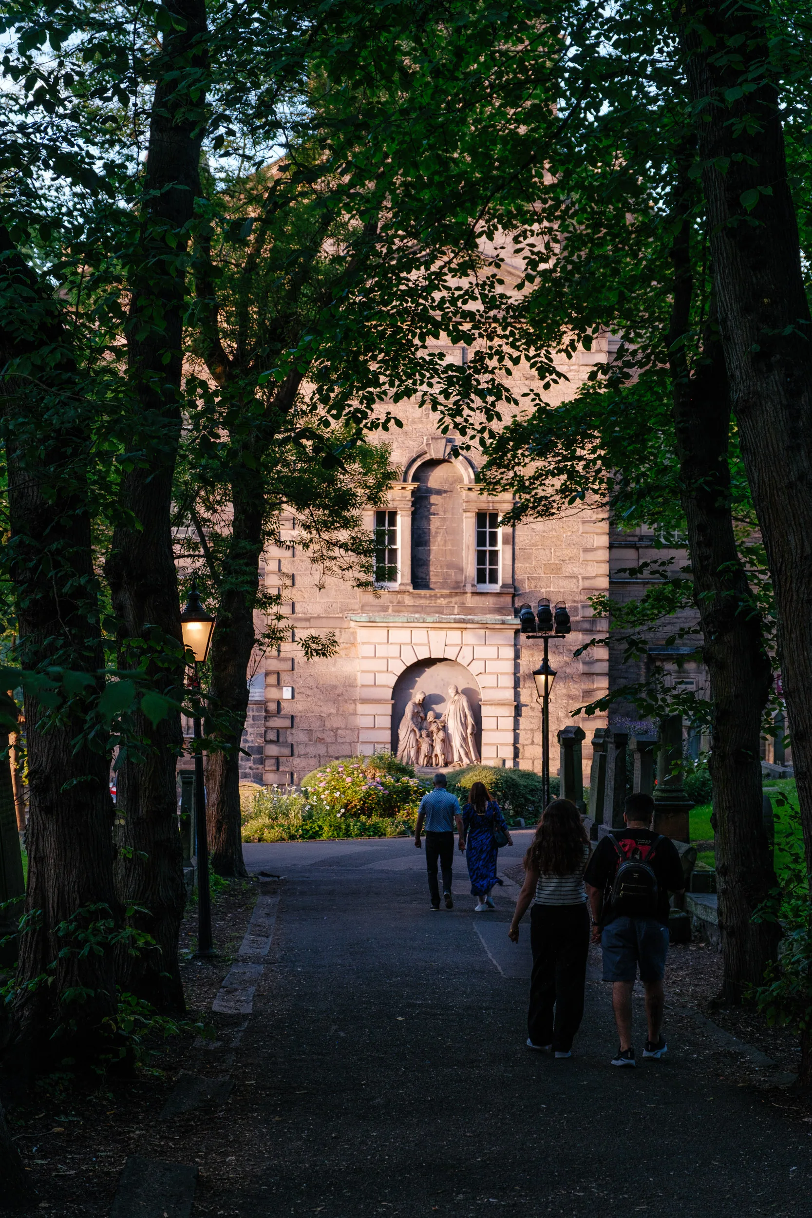
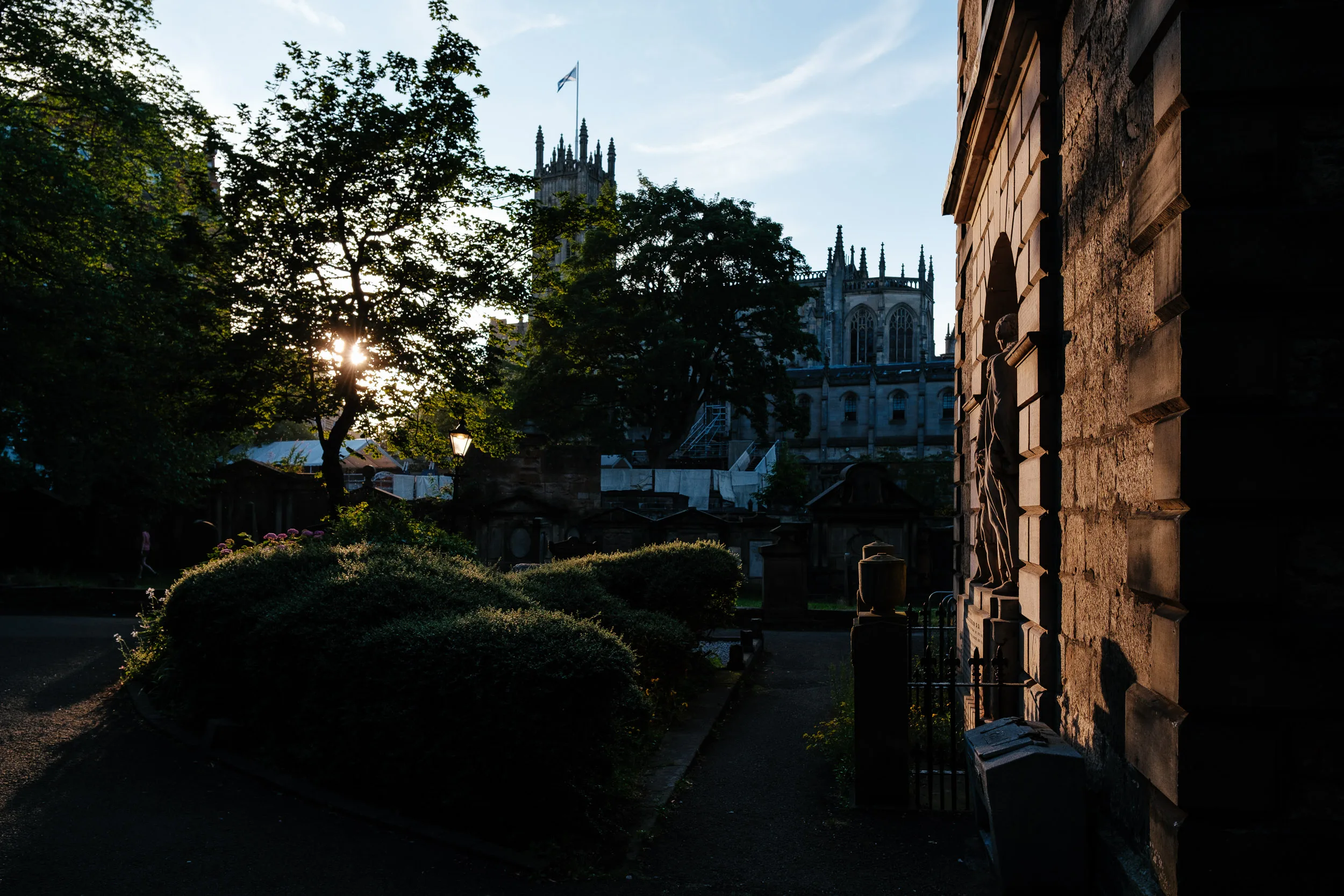
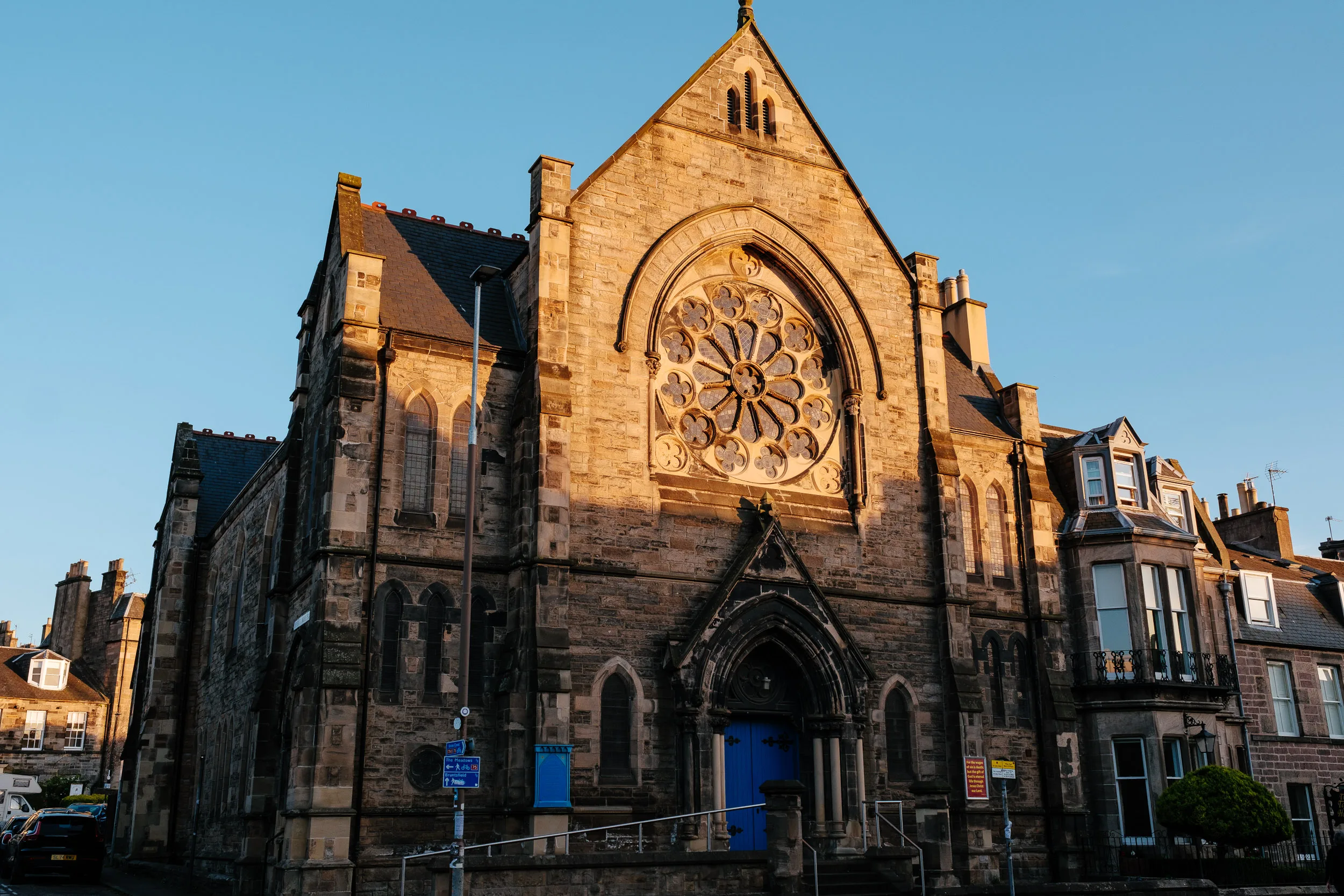
We arrived in Edinburgh at sunset, which made the city look even more dramatic. It’s a beautiful place to explore on foot, so we walked to all the main sights: the Royal Mile, the Castle, Victoria Street, the New Town and Princes Street Gardens.
The Castle sits on a volcanic plug of dolerite, and the ridge running east from it, now the Royal Mile, is a “crag and tail” carved by glaciers. Below it, Princes Street Gardens used to be water: the Nor Loch was an artificial lake forming part of the town’s medieval defences, and it was habitually polluted by sewage draining downhill from the Old Town. It was drained from the 1760s, and the gardens were laid out in the 1820s. The green trench between the two halves of the city is the reason Old and New Town face each other rather than merging. Both were jointly designated a UNESCO World Heritage Site in 1995.
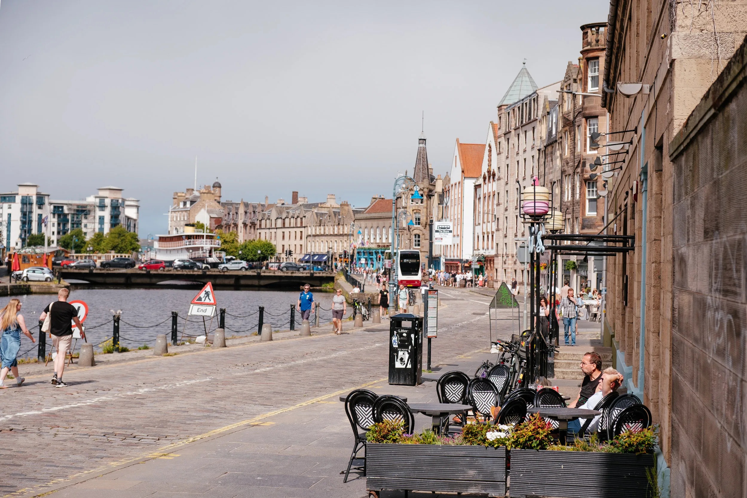
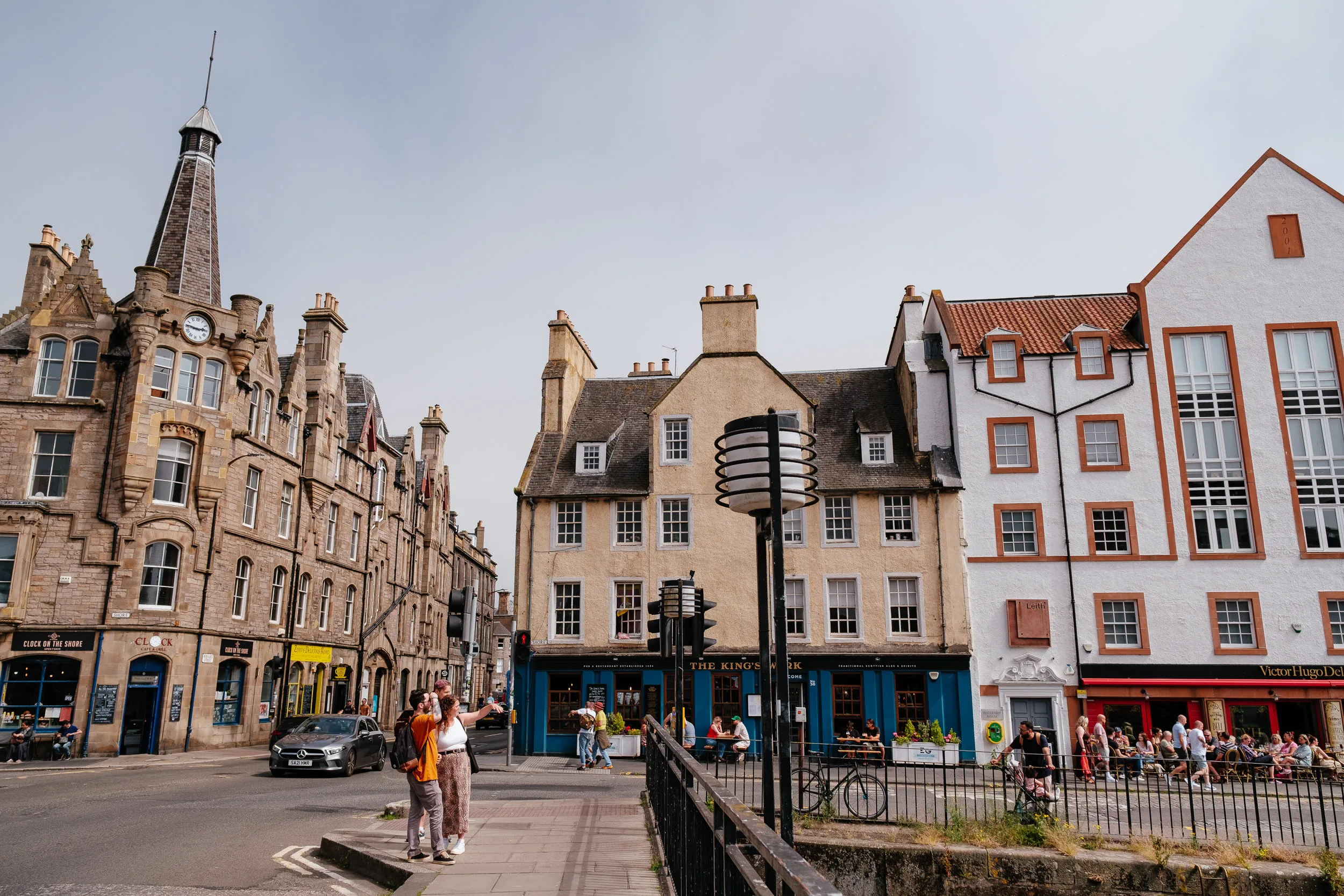
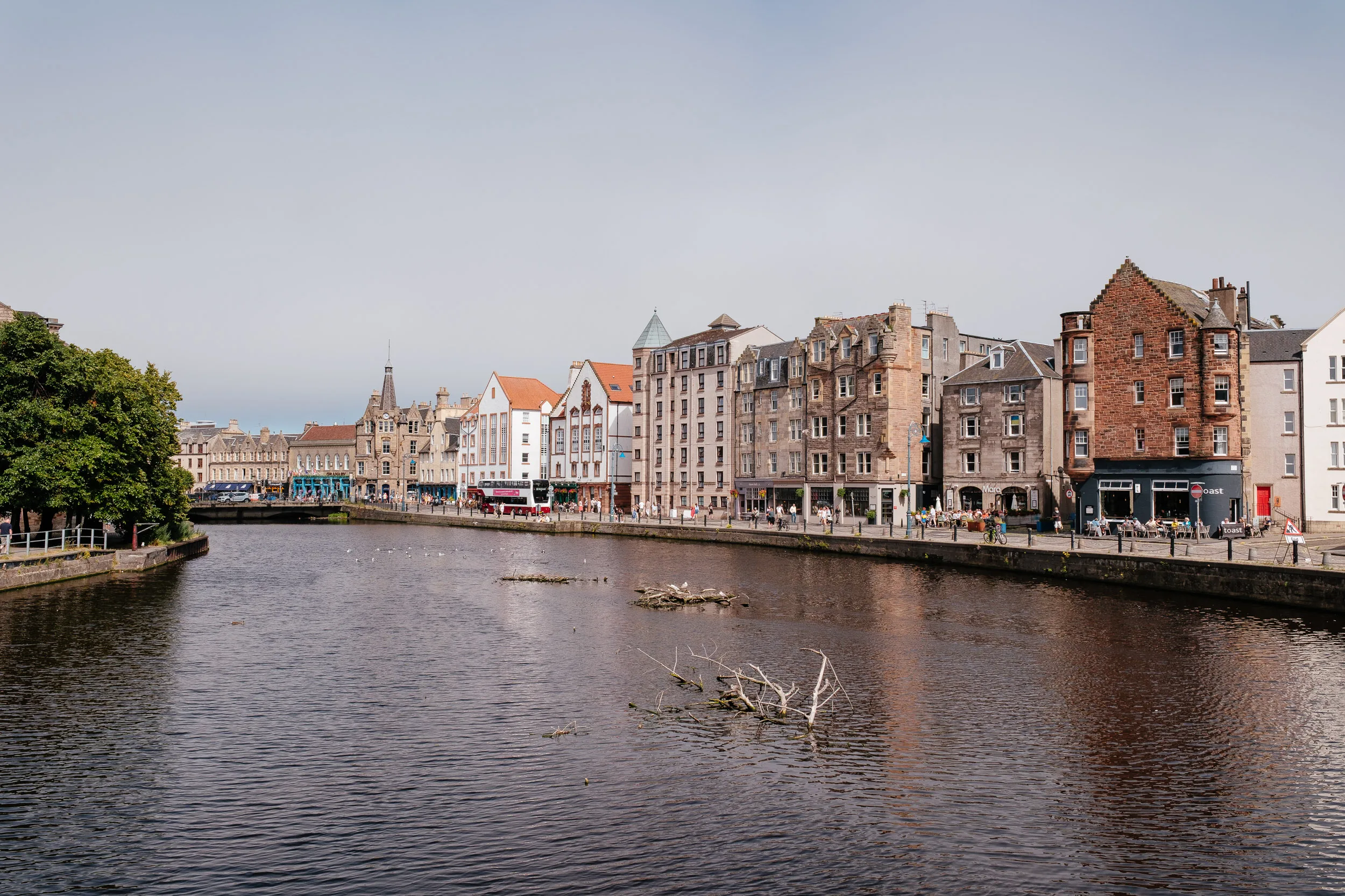
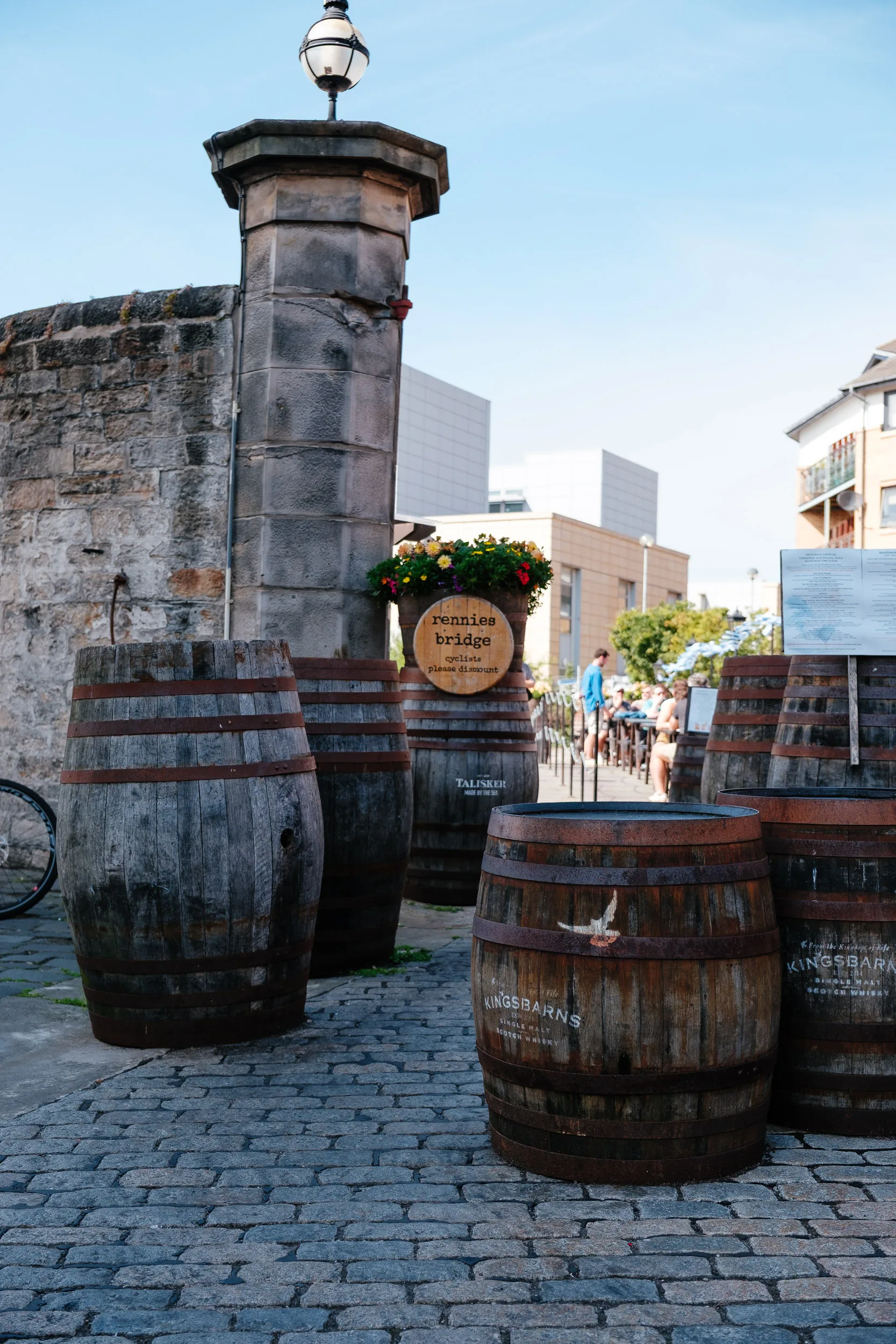
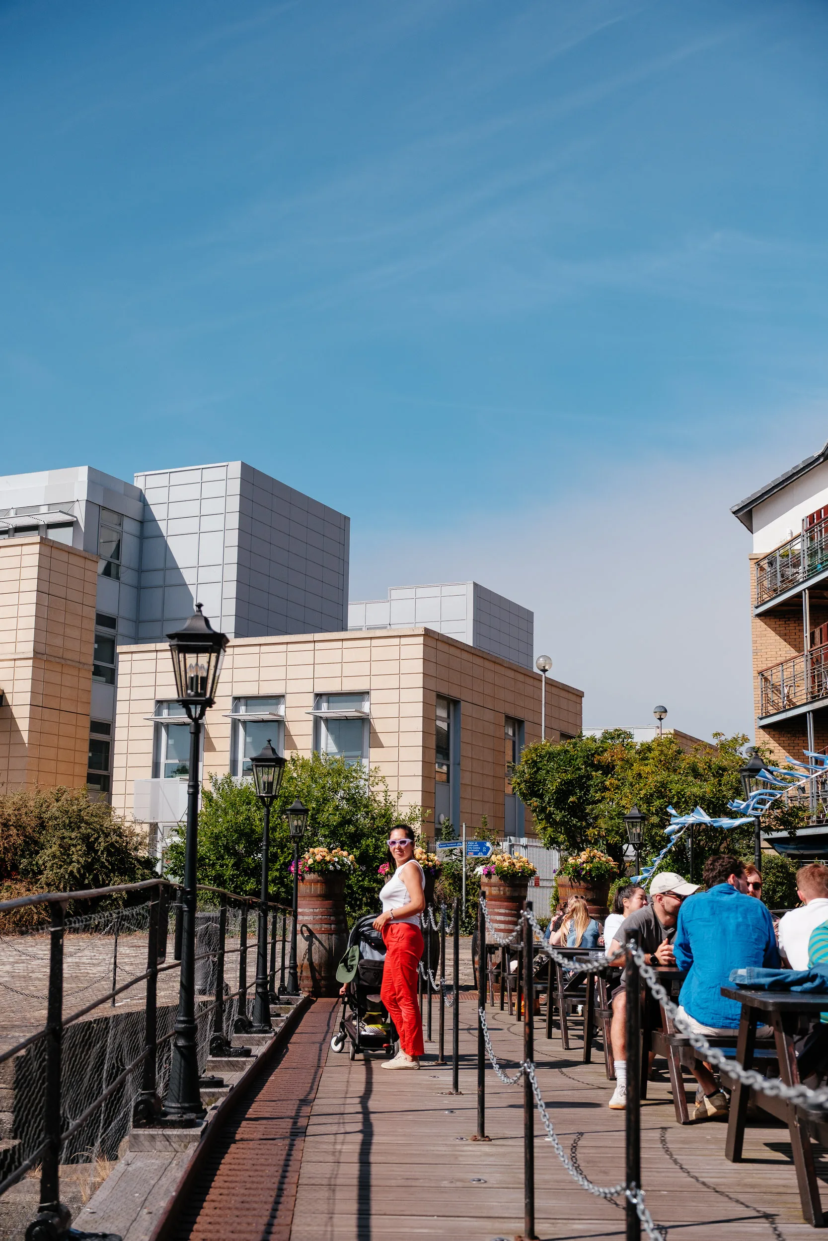
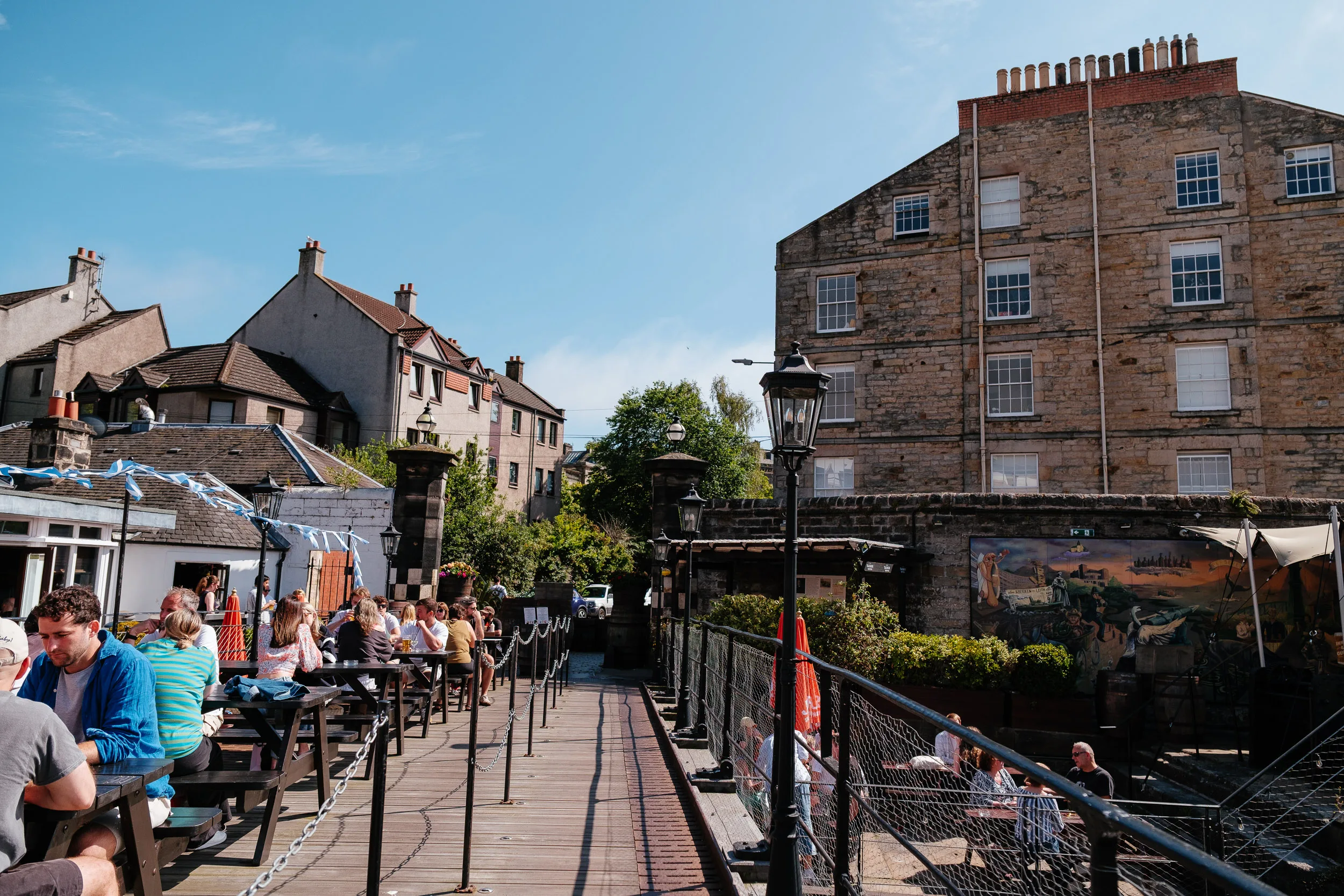
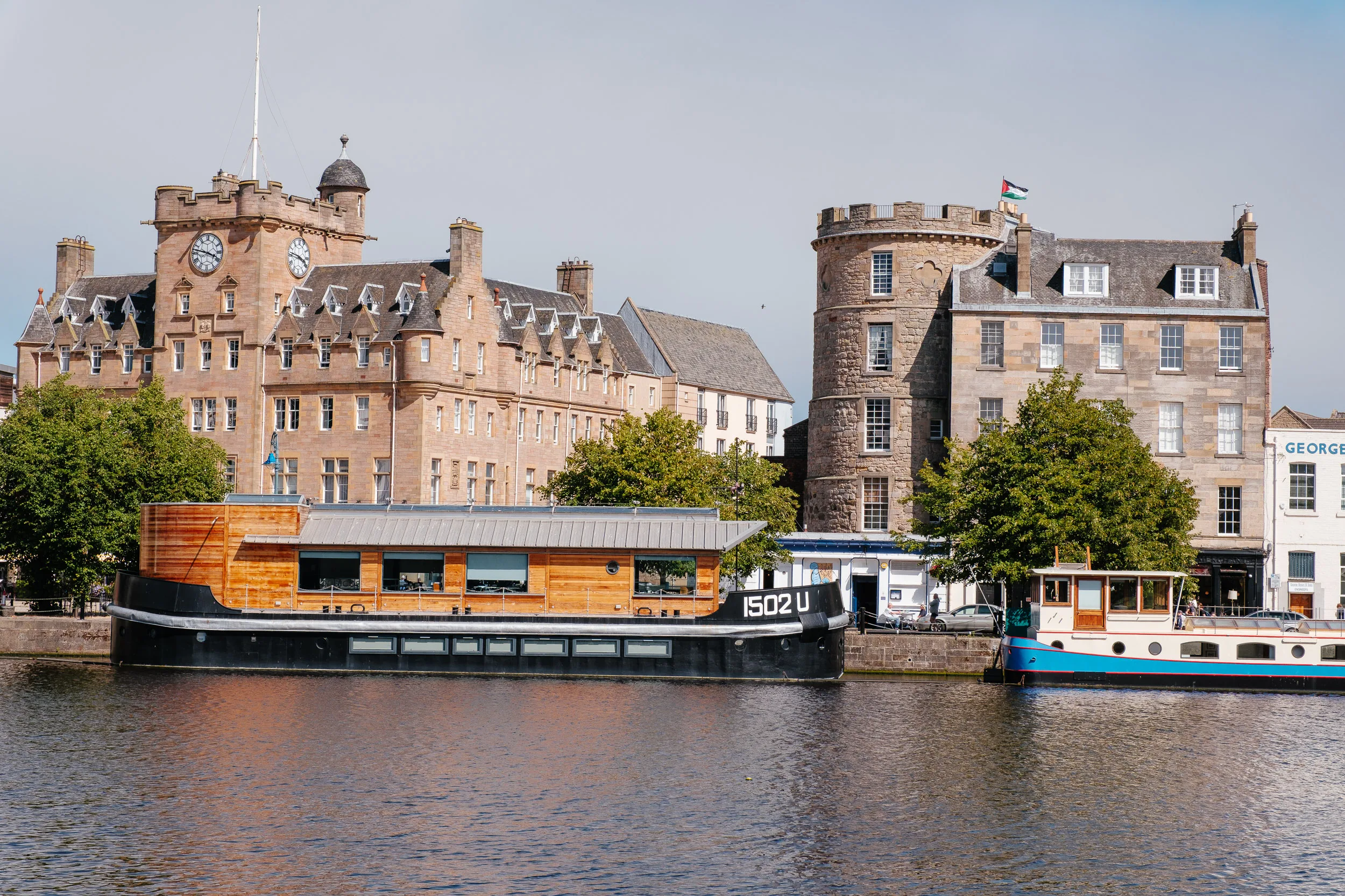
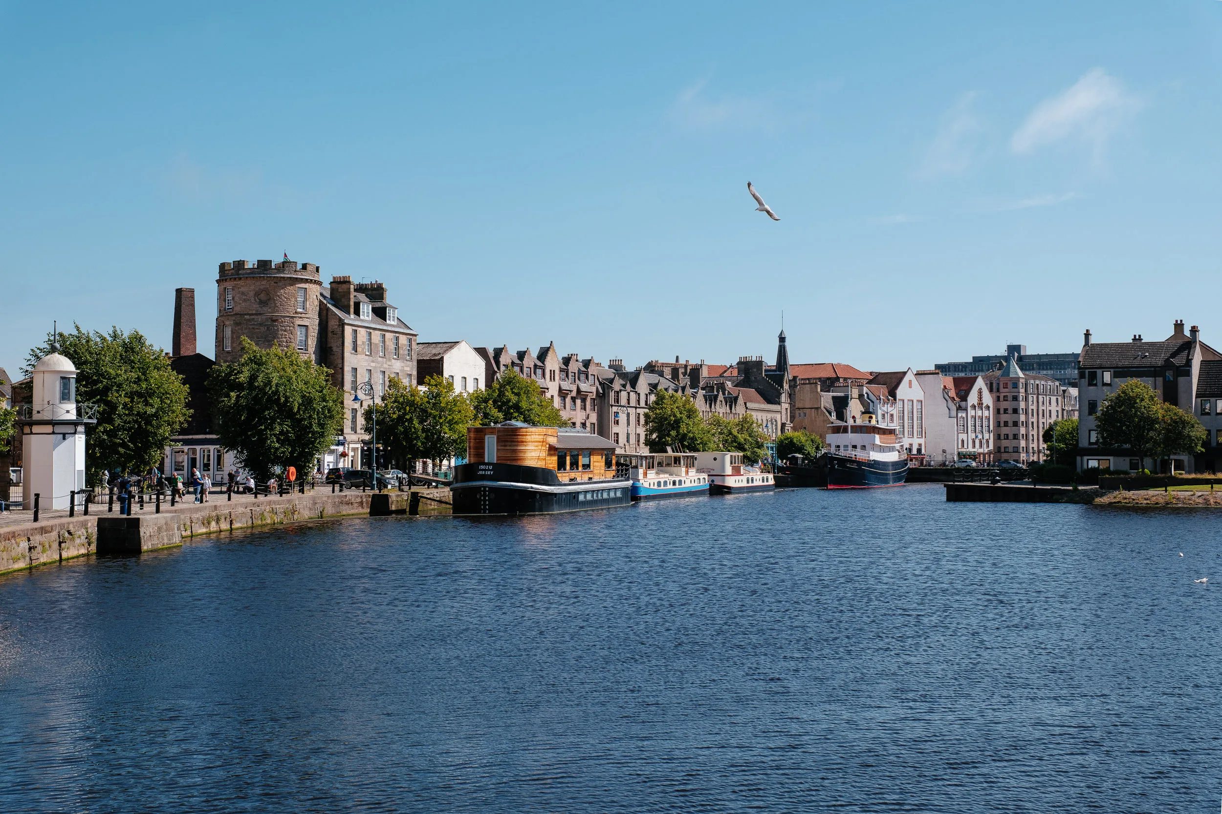
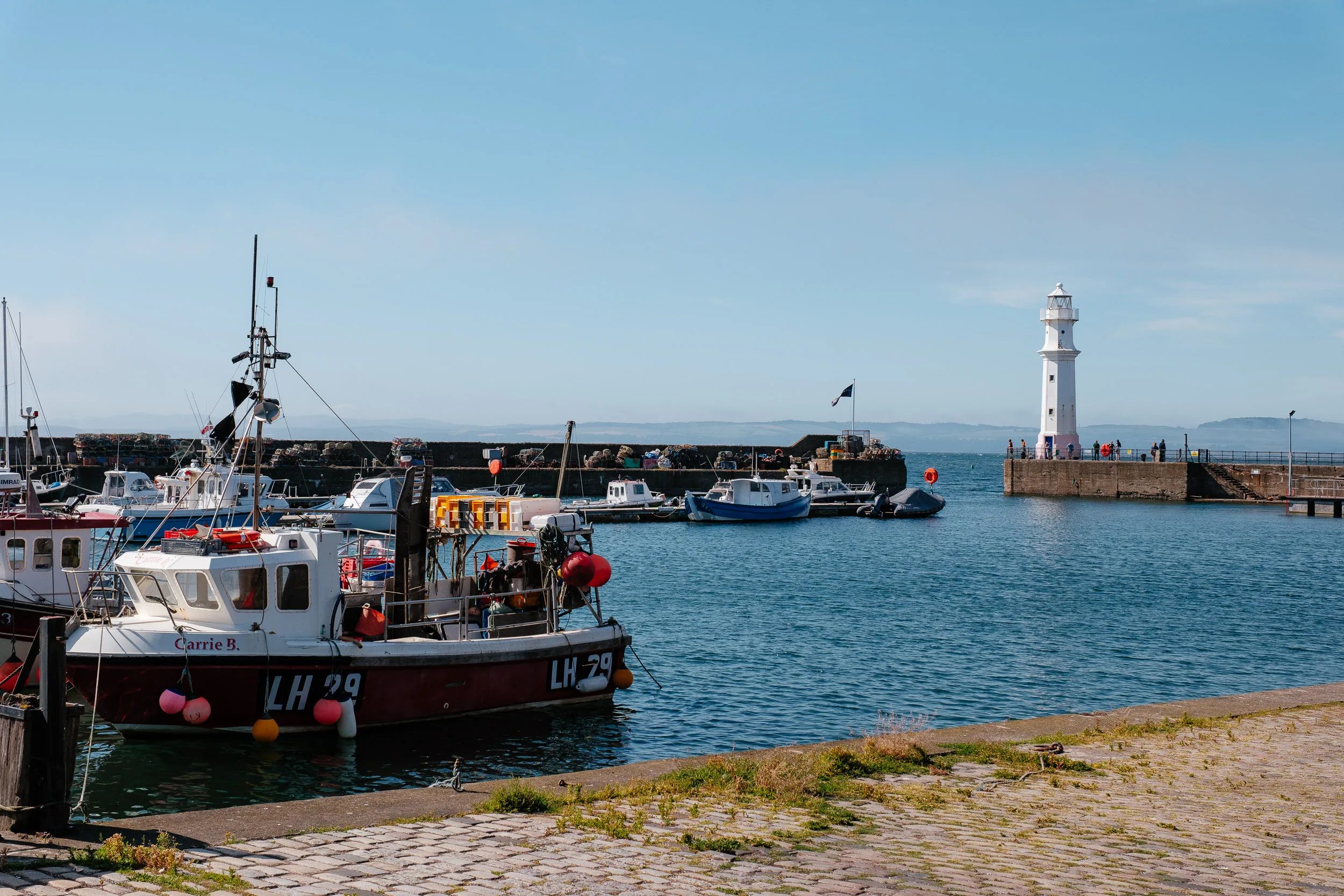
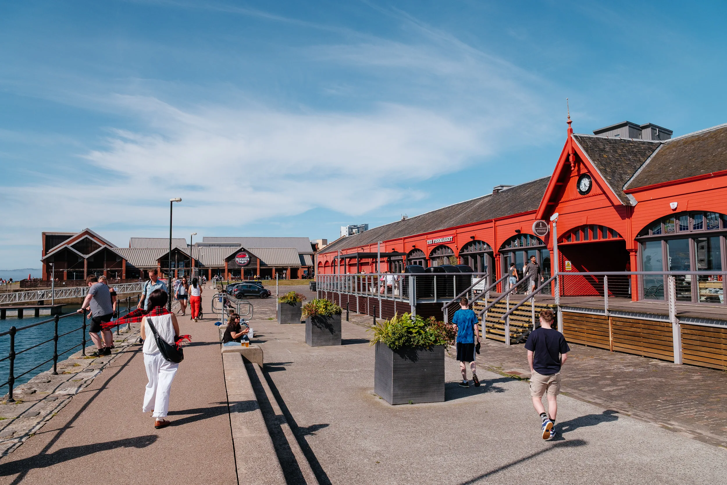
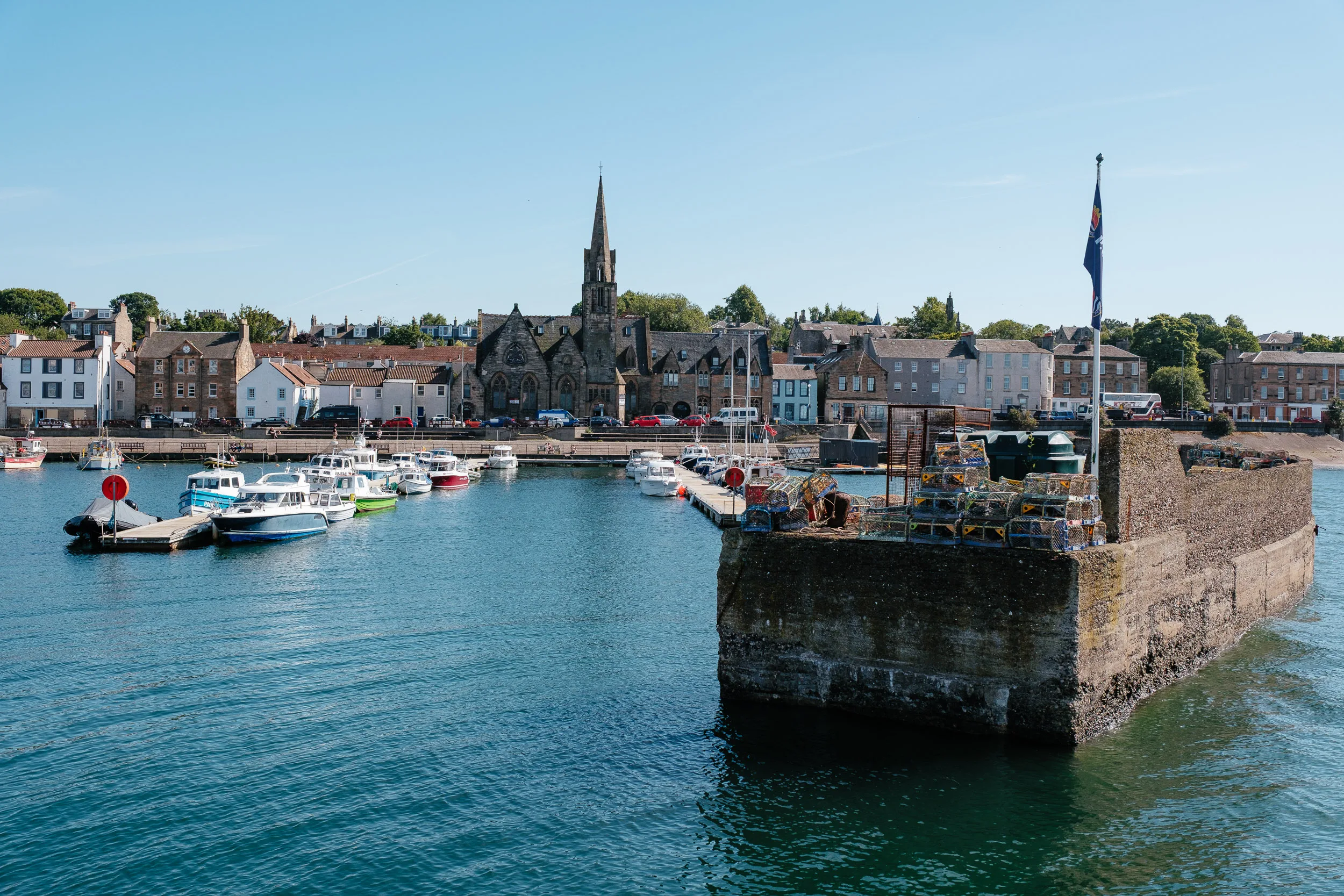
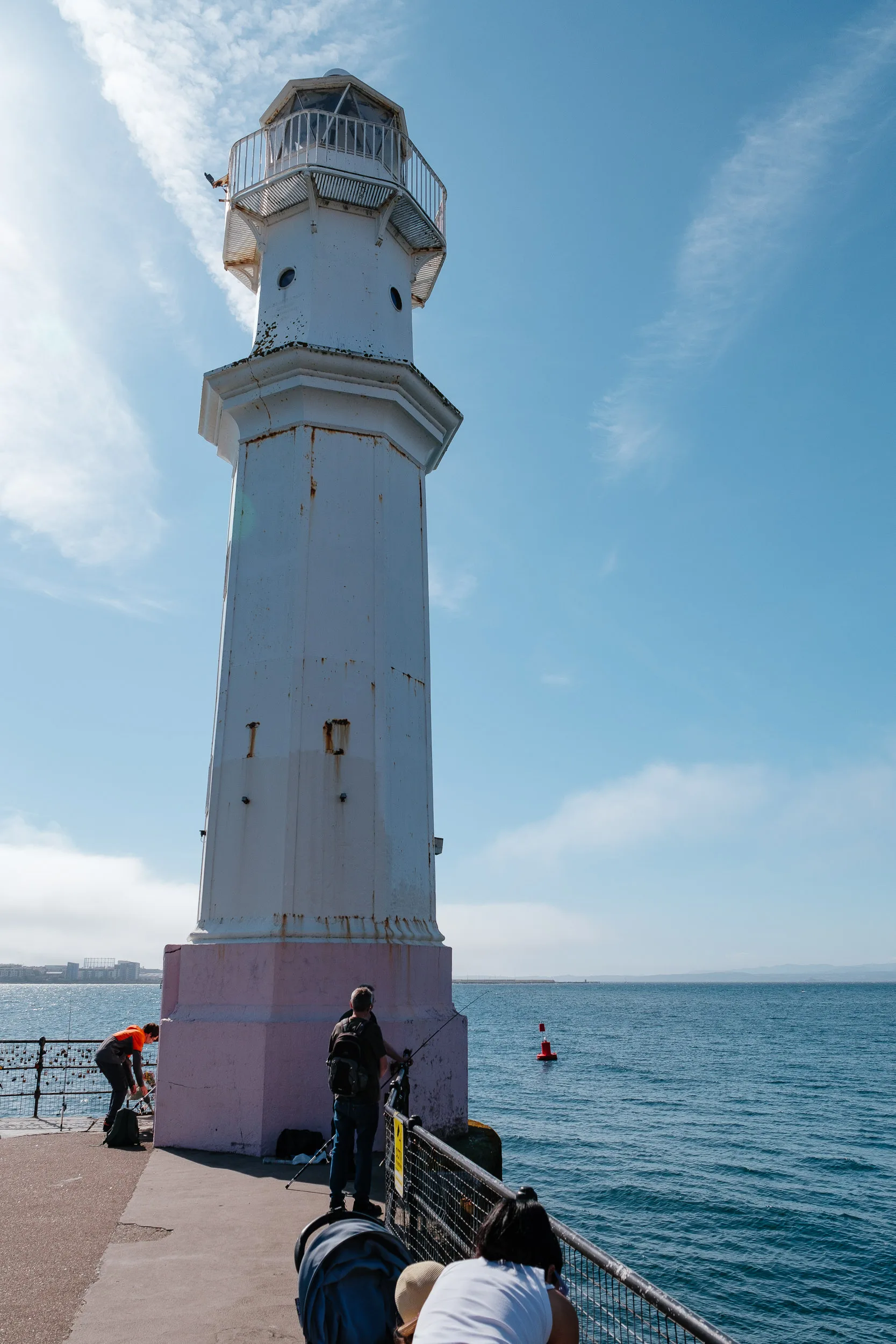
We also headed down to the coast to see the historic port and waterfront districts of Leith and Newhaven. Leith was an independent burgh until 1920 and has never entirely forgiven the merger, worth knowing before calling it “part of Edinburgh” in a Leith pub.
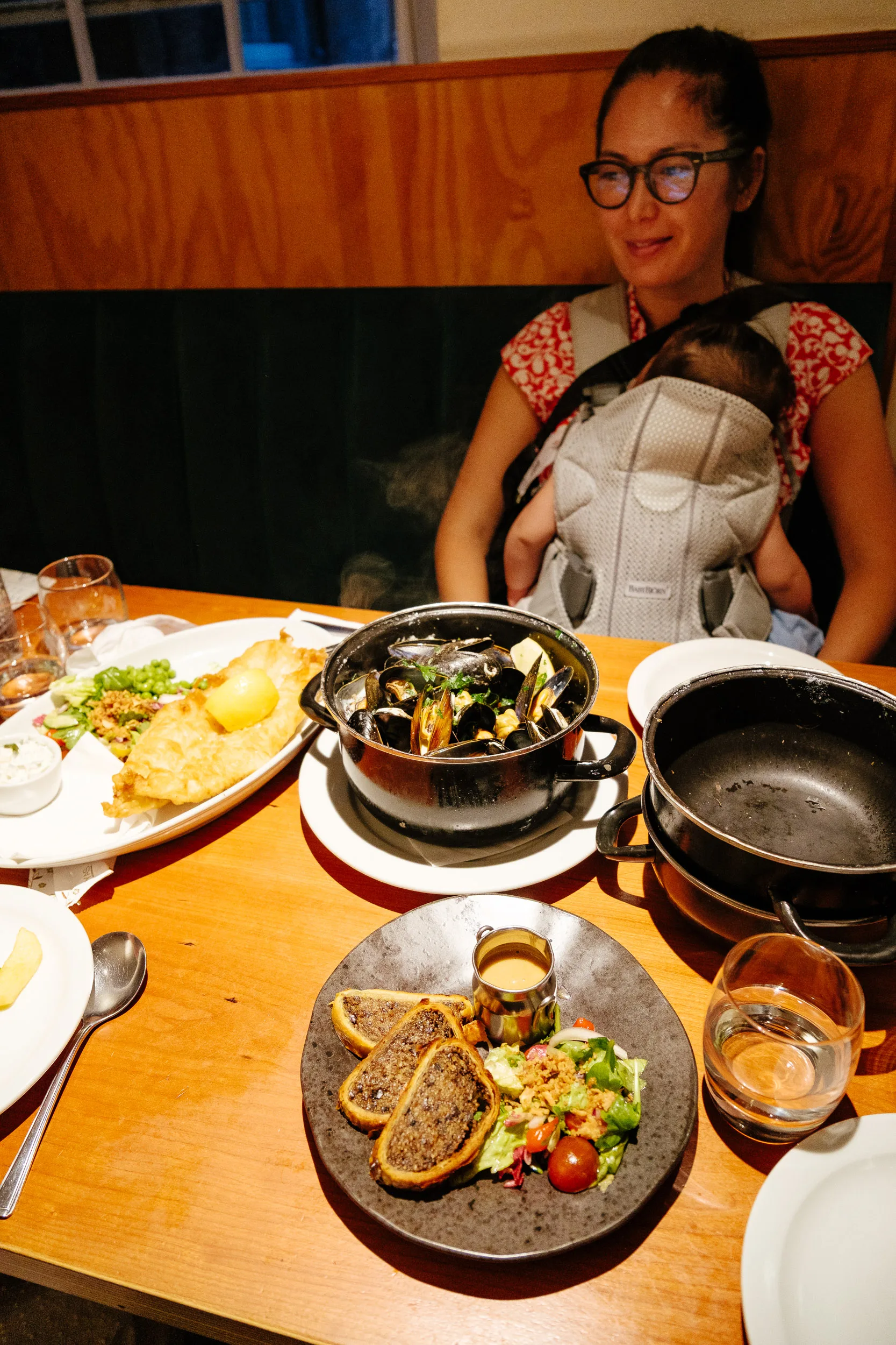
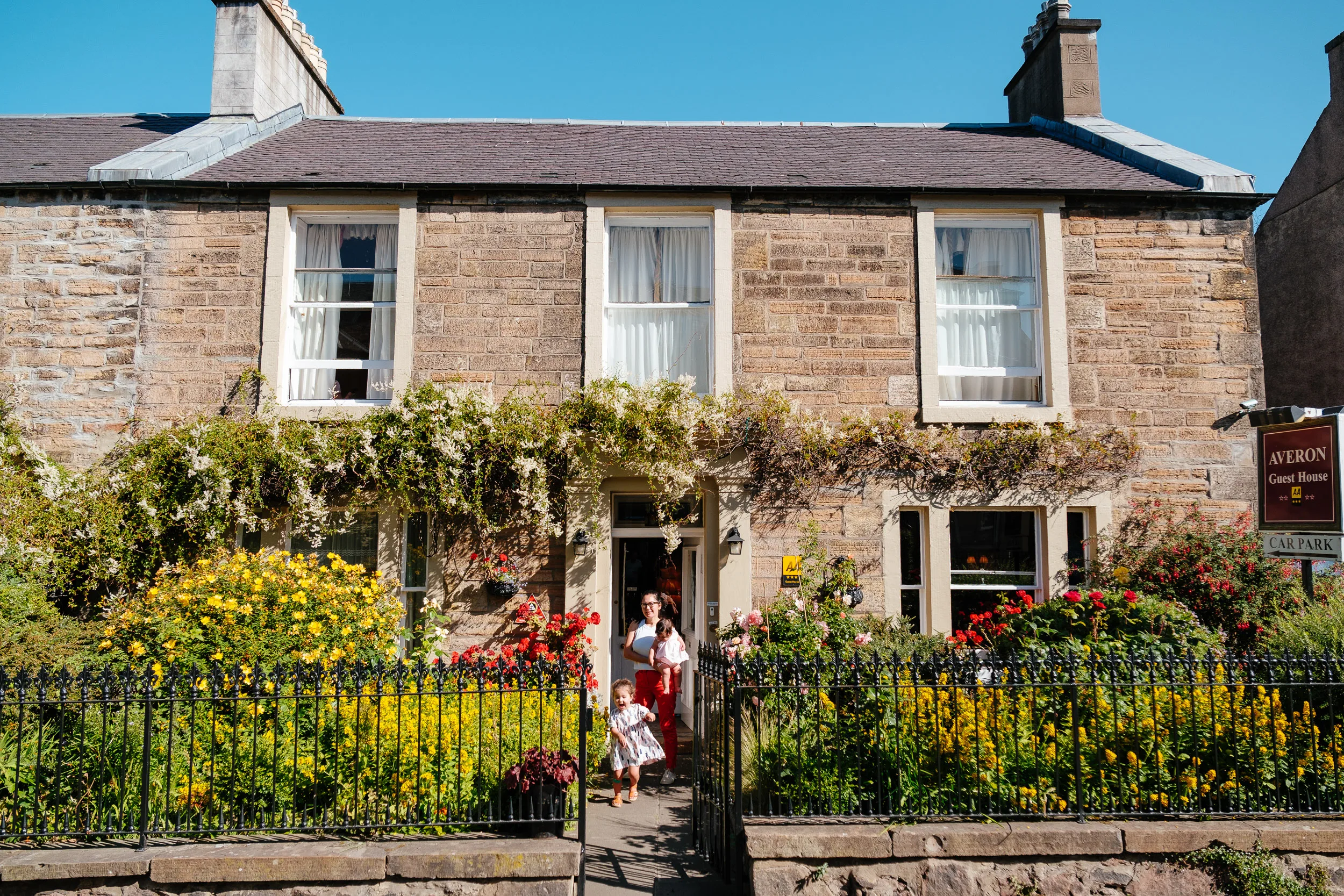
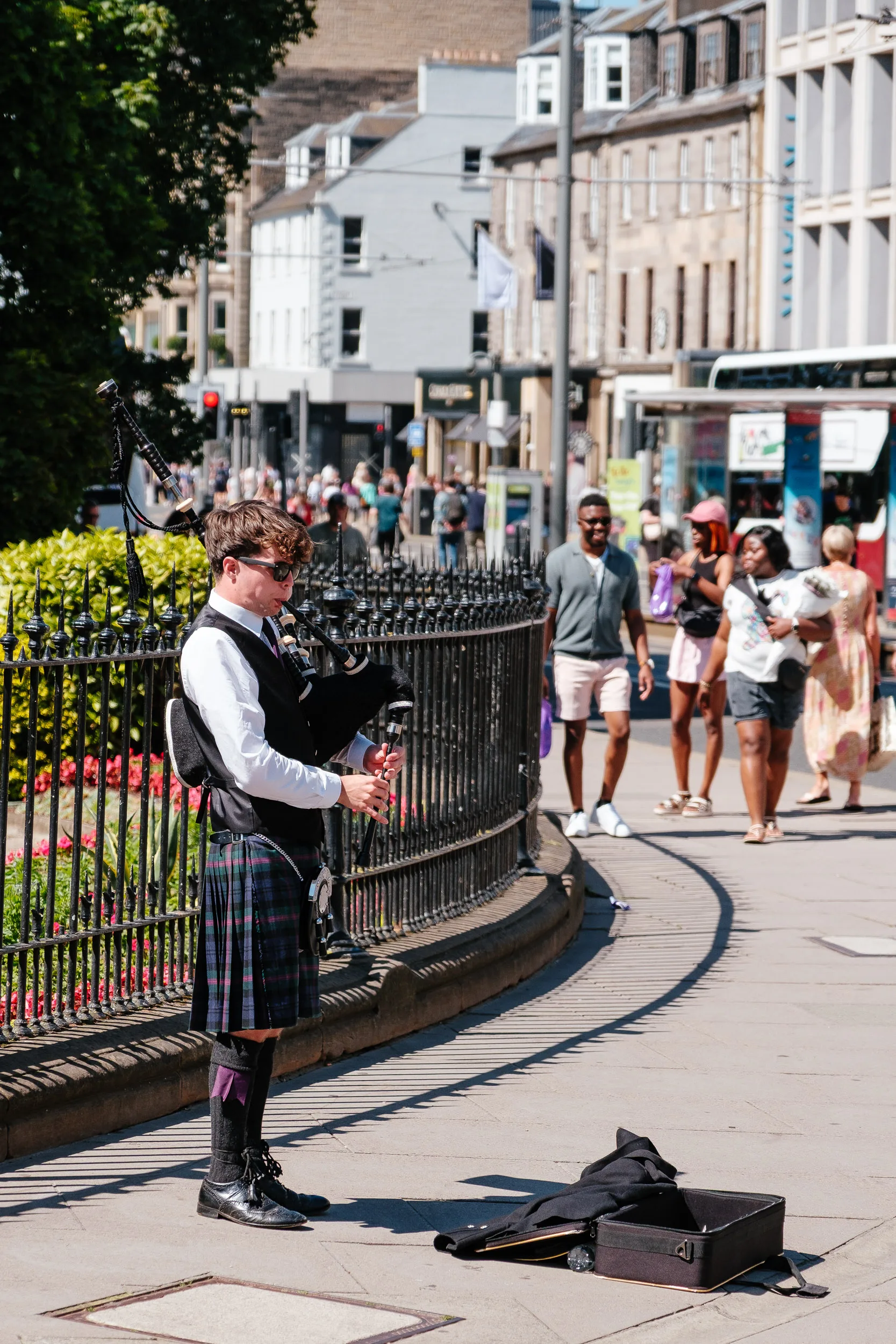
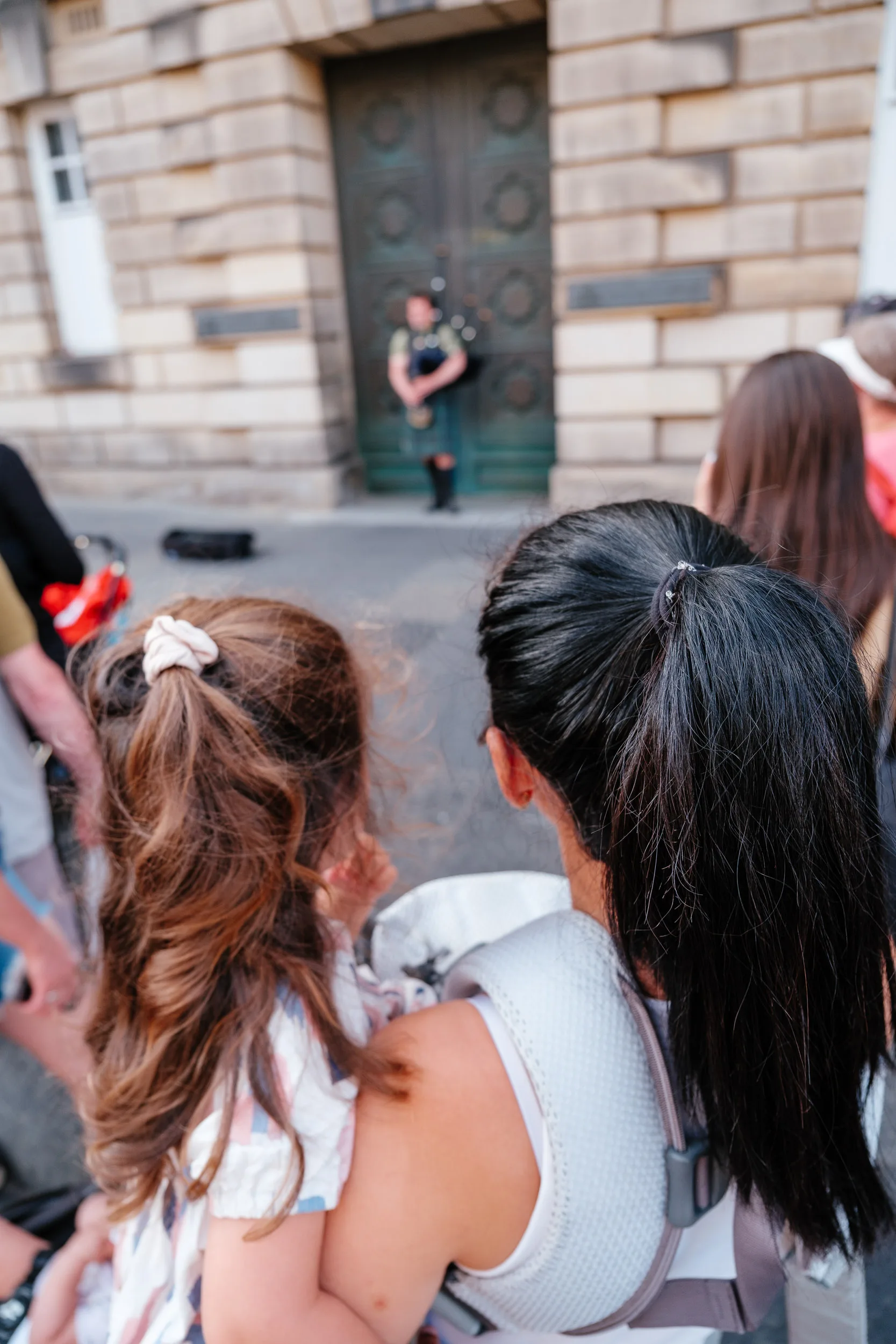
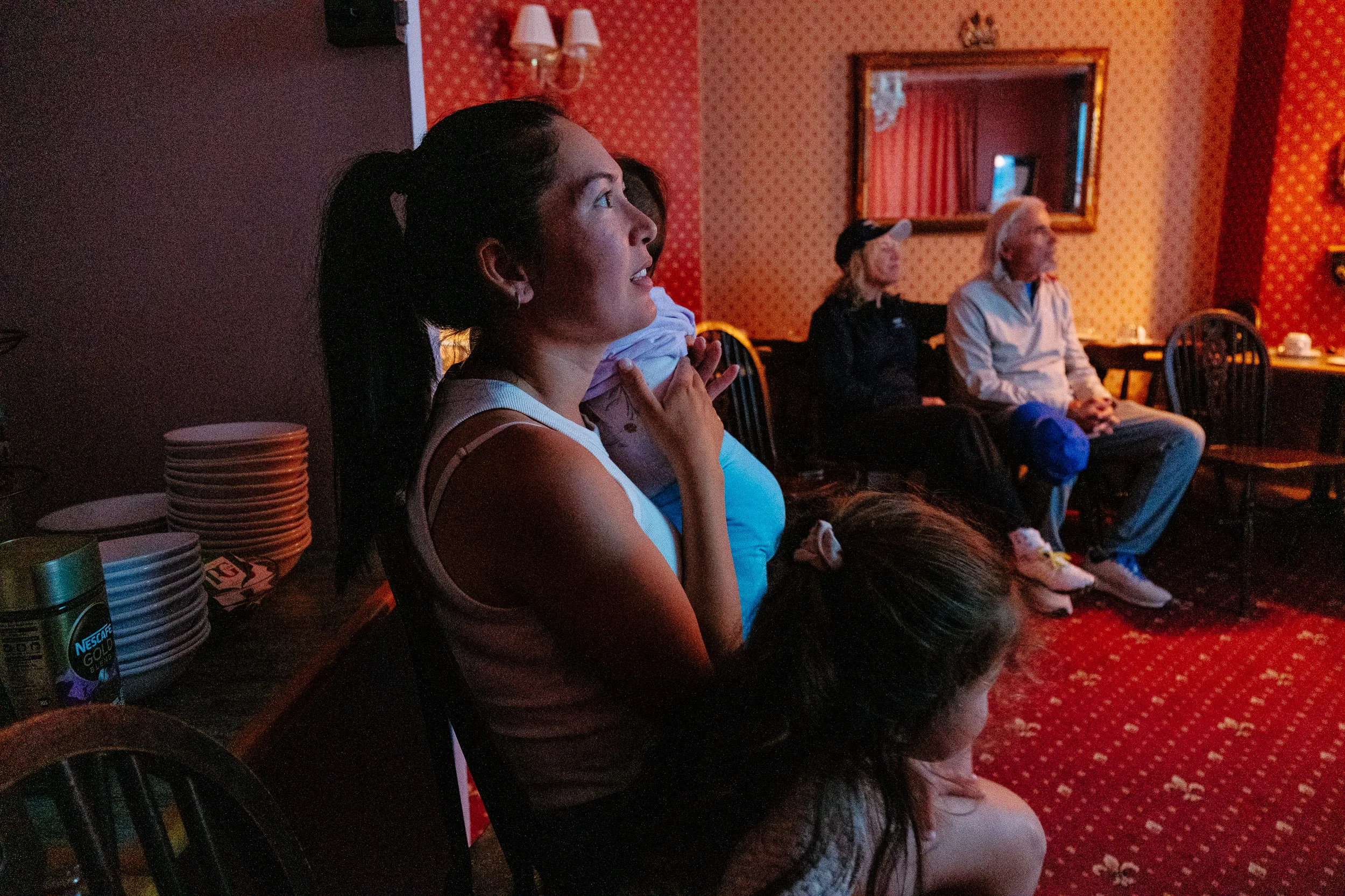
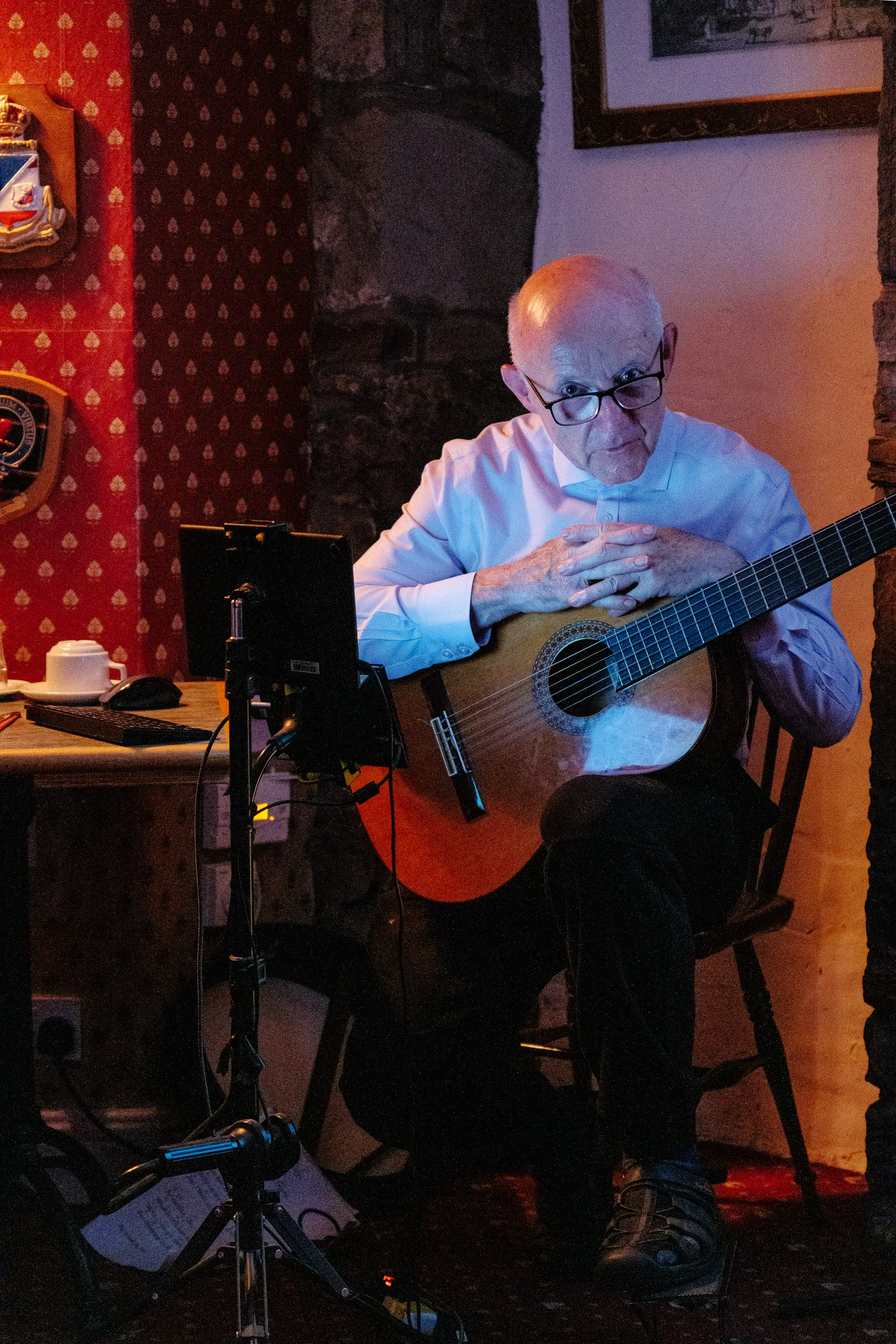
To top it off, our bed and breakfast host entertained us in the evening with traditional Scottish folk songs.
Loch Lomond & Glencoe
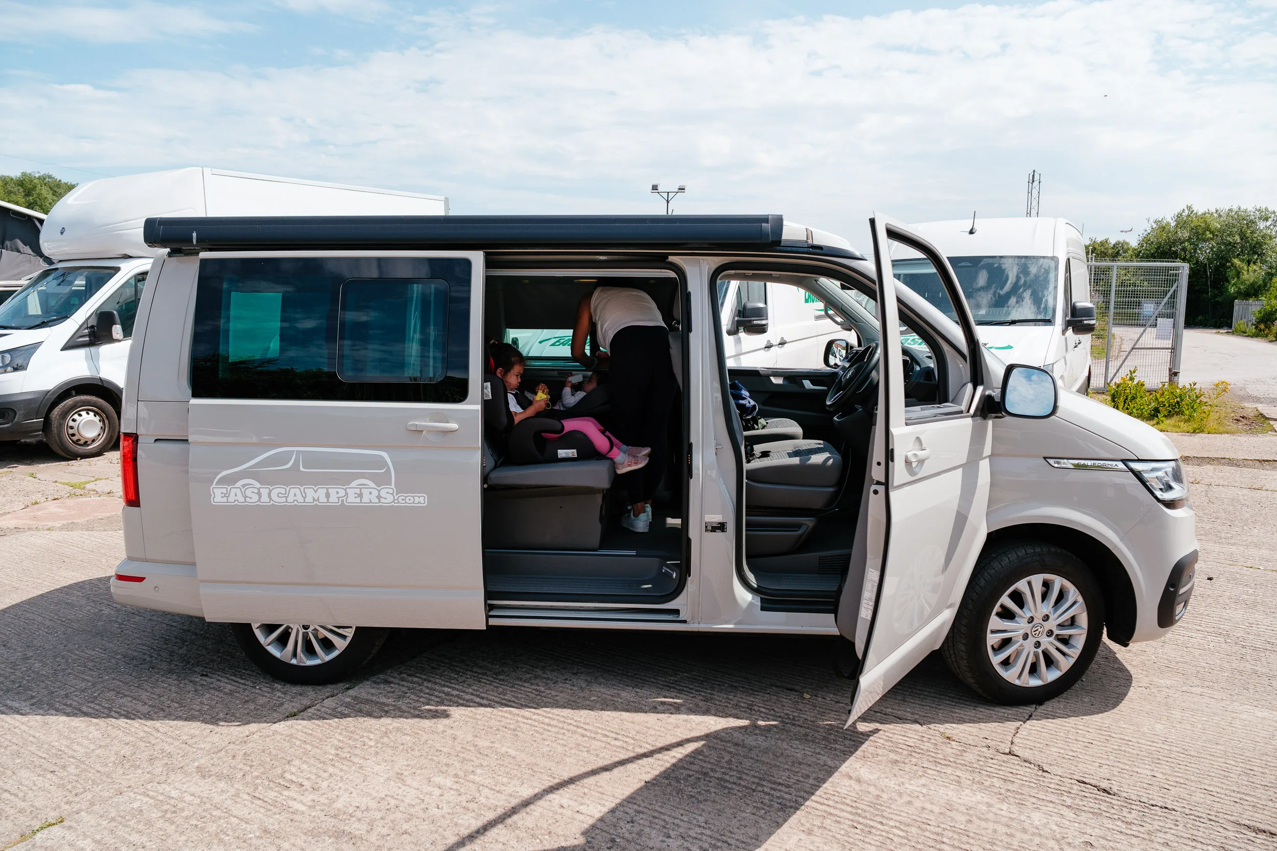
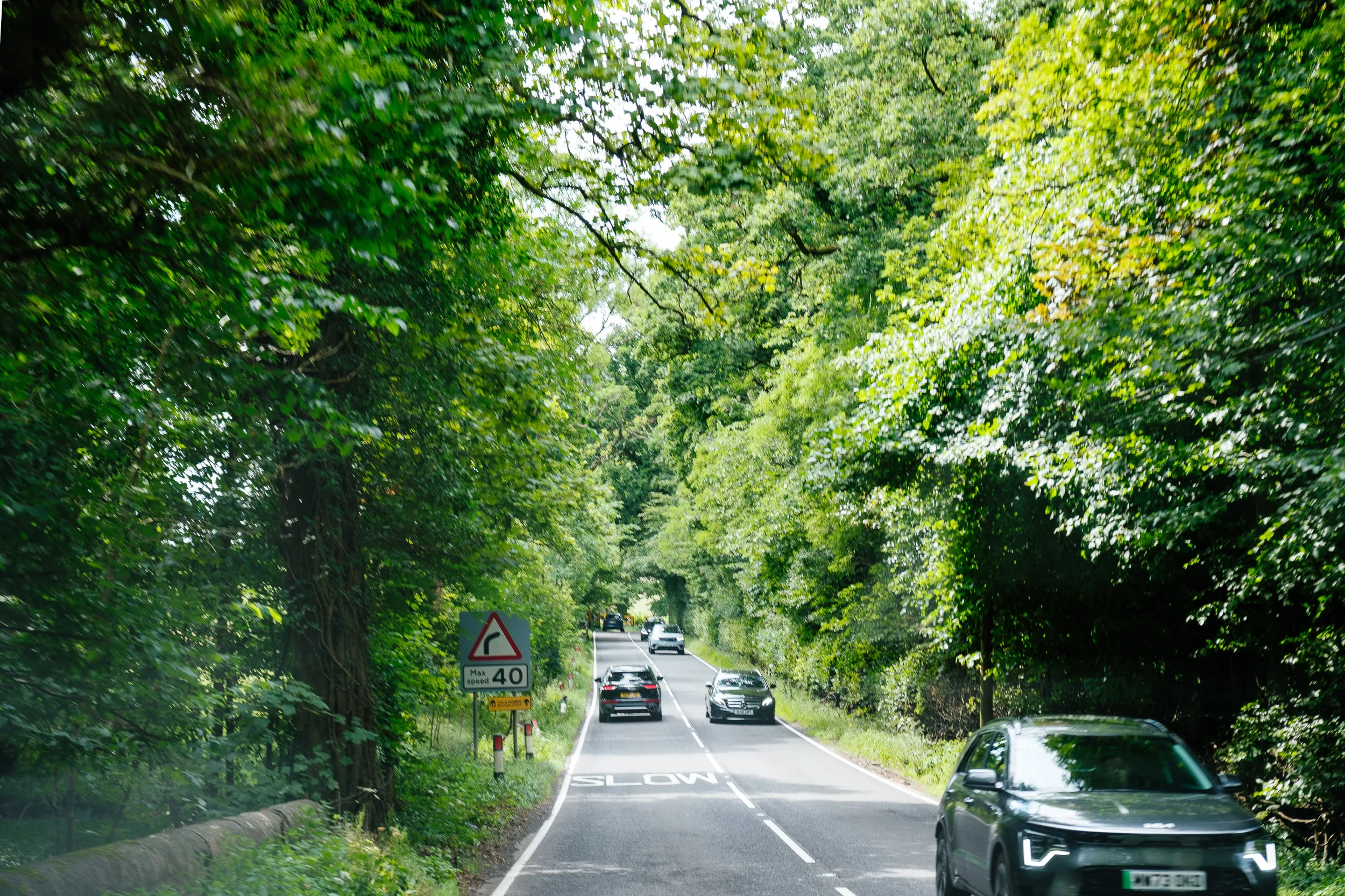
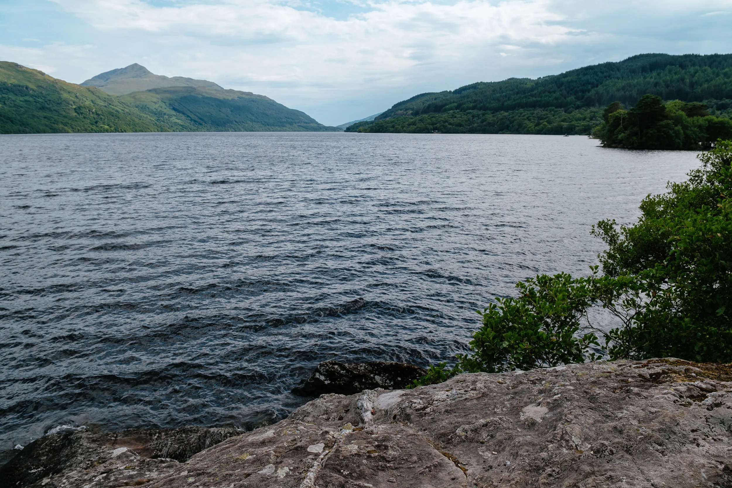
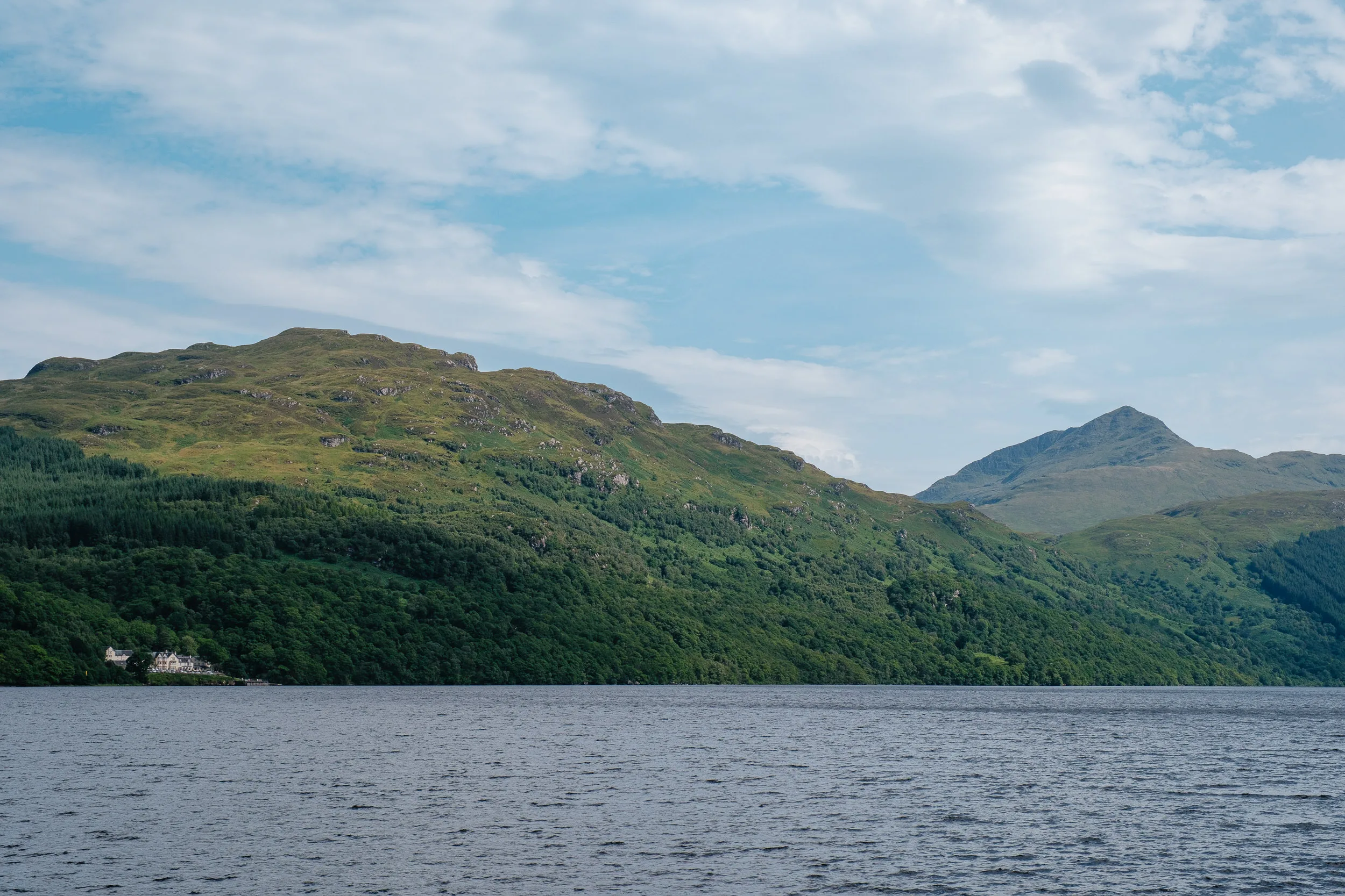
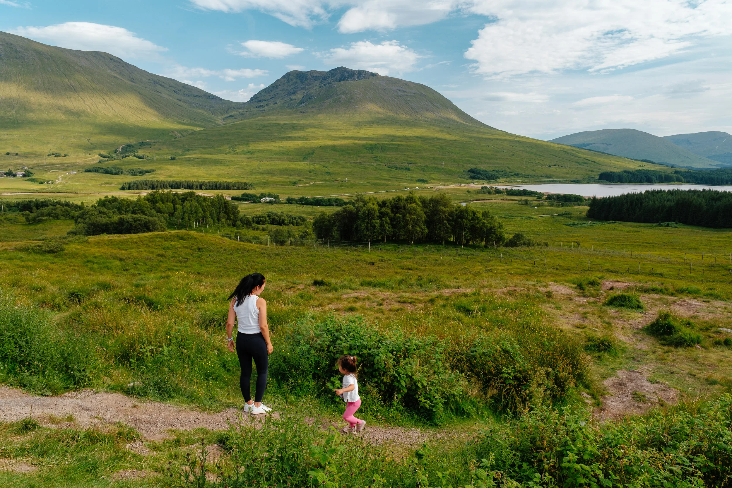
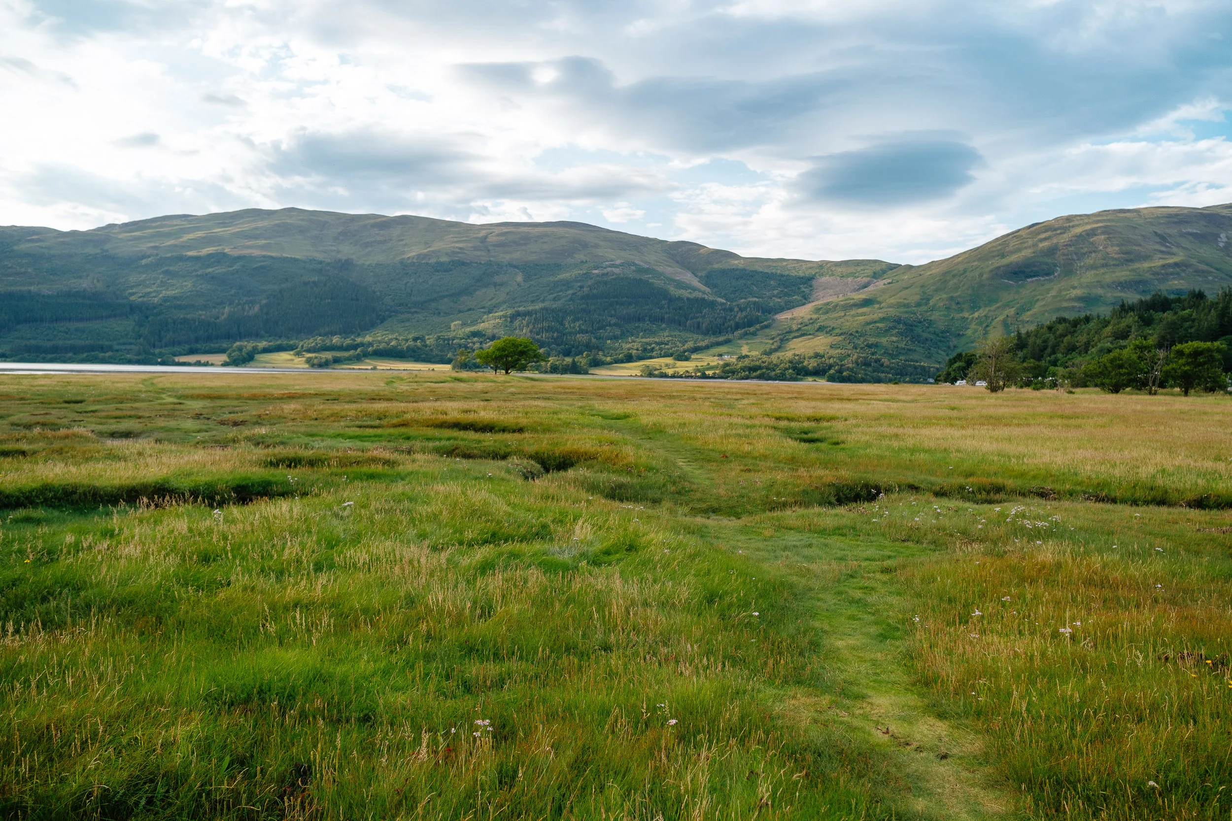
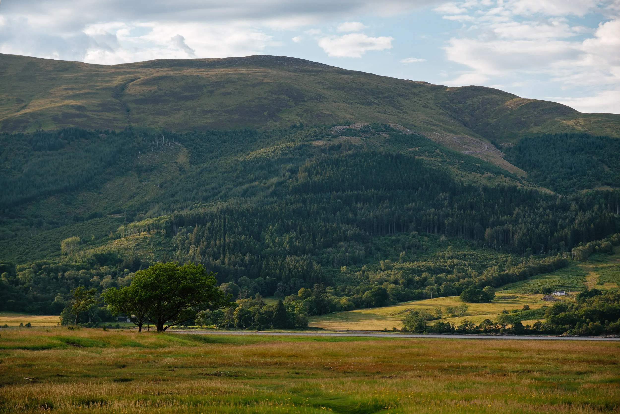
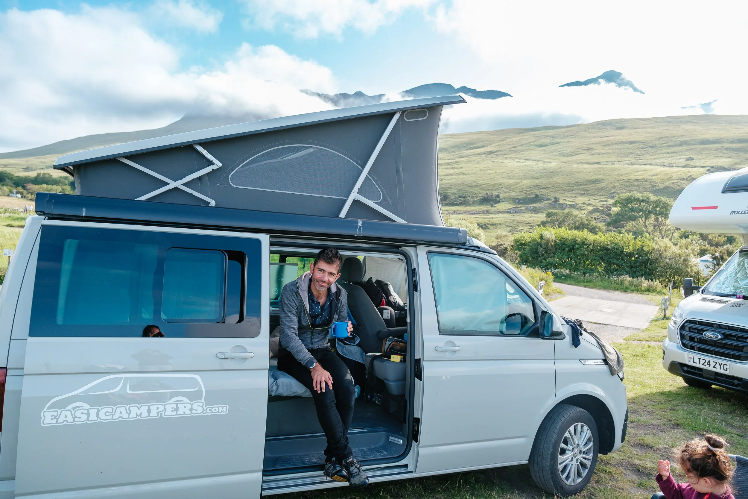
After renting and loading up the camper van (a Volkswagen California), we hit the road in the direction of Loch Lomond, the centerpiece of Scotland’s first national park. It’s the largest stretch of inland water in Great Britain by surface area, 24 miles long, and it sits directly on the Highland Boundary Fault, the geological line between the Lowlands and the Highlands. You can feel that as you drive: the southern end is wide, shallow and scattered with islands, and then the road narrows, the water deepens and the hills close in.
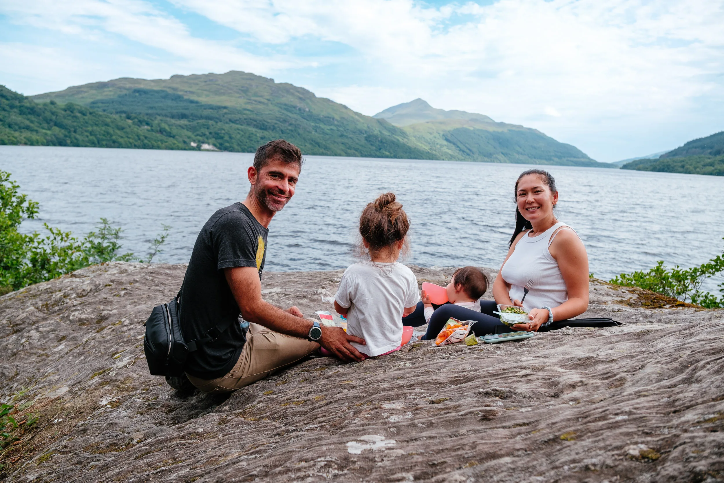
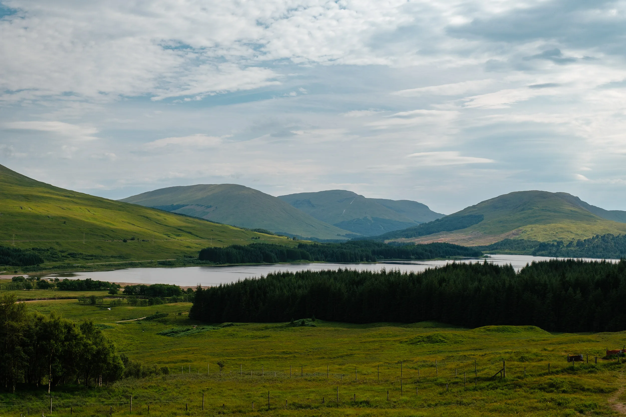
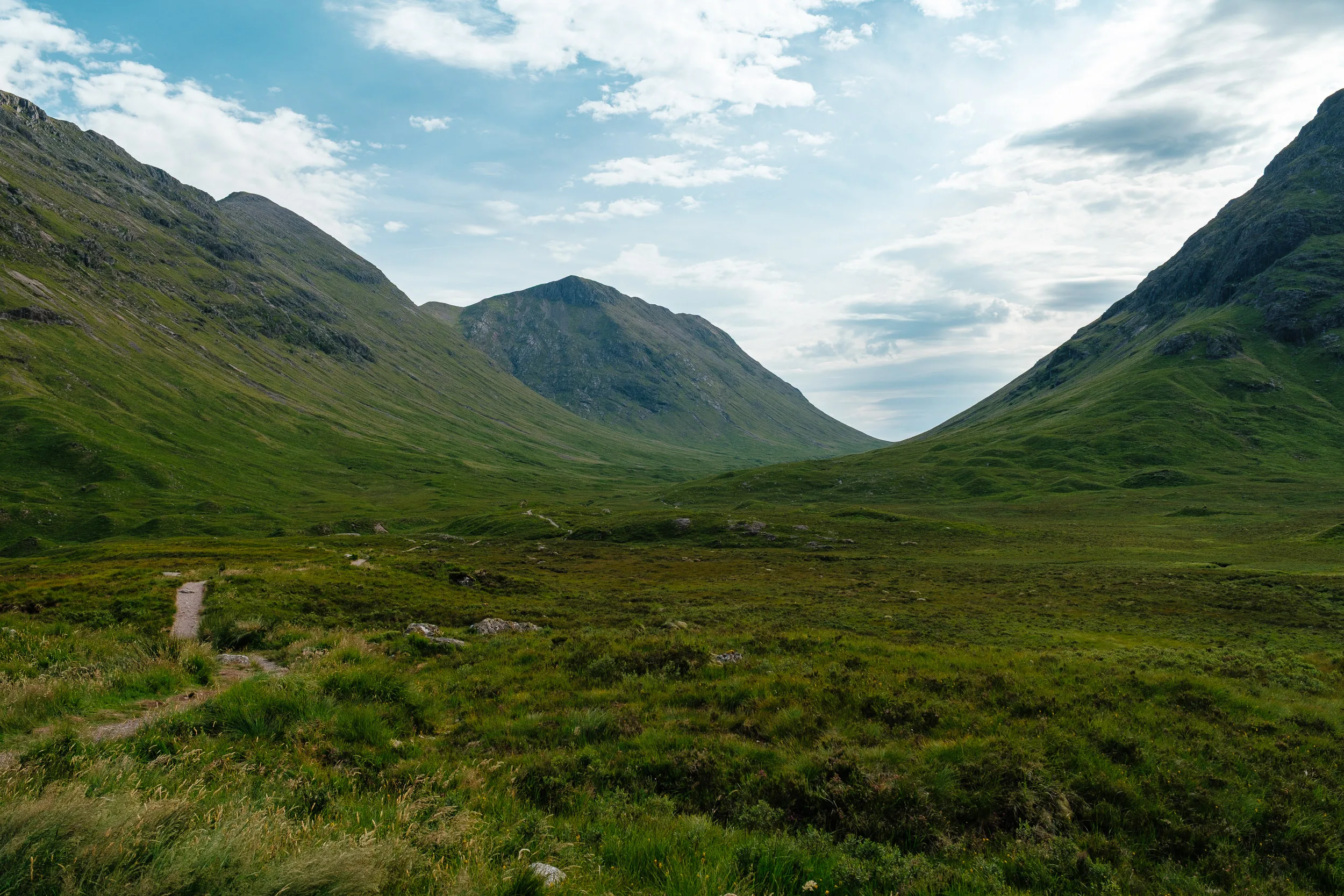
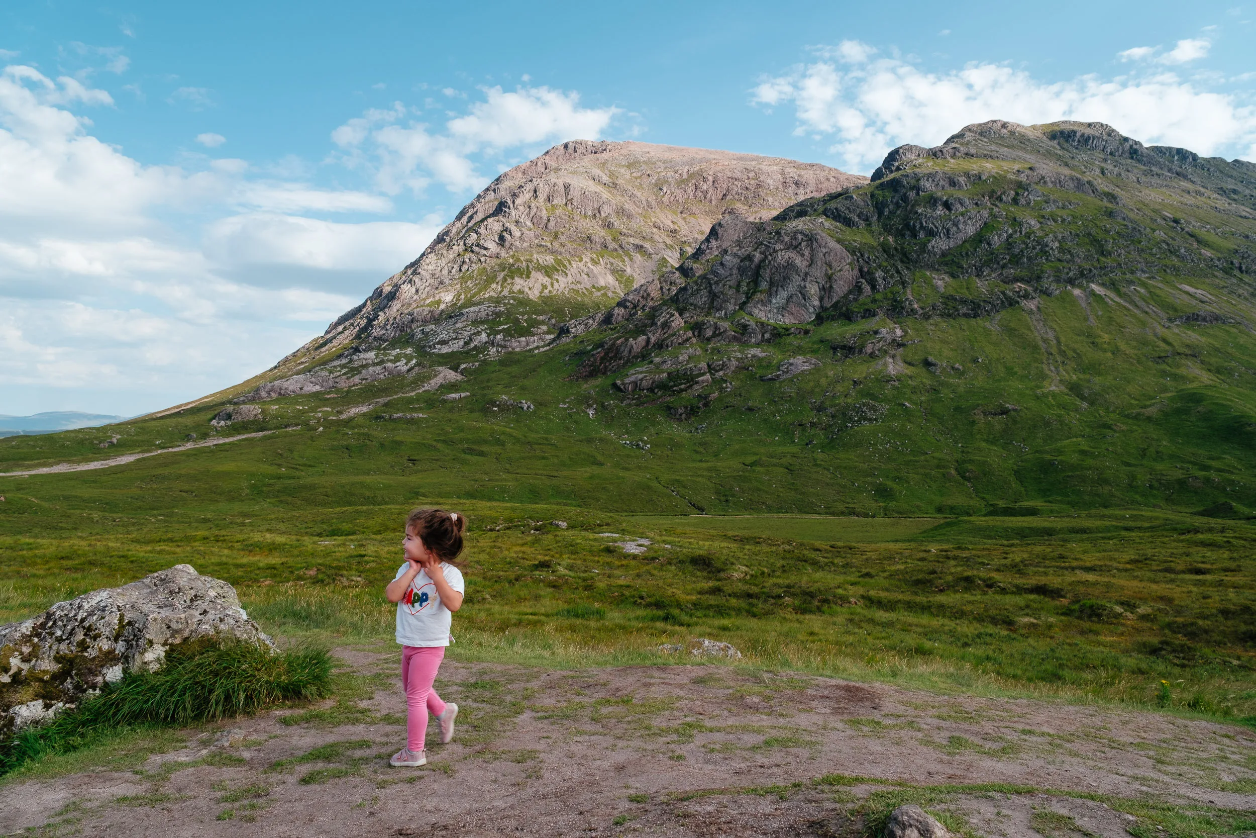
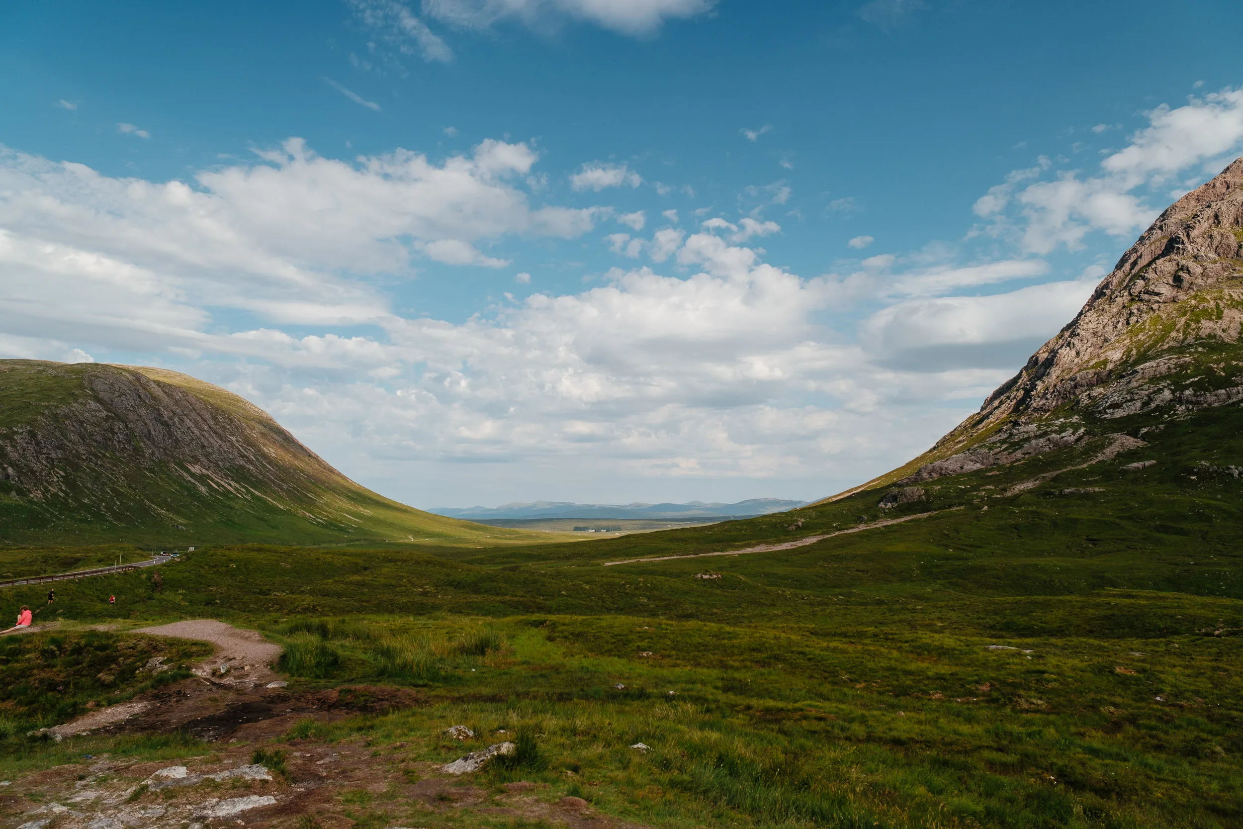
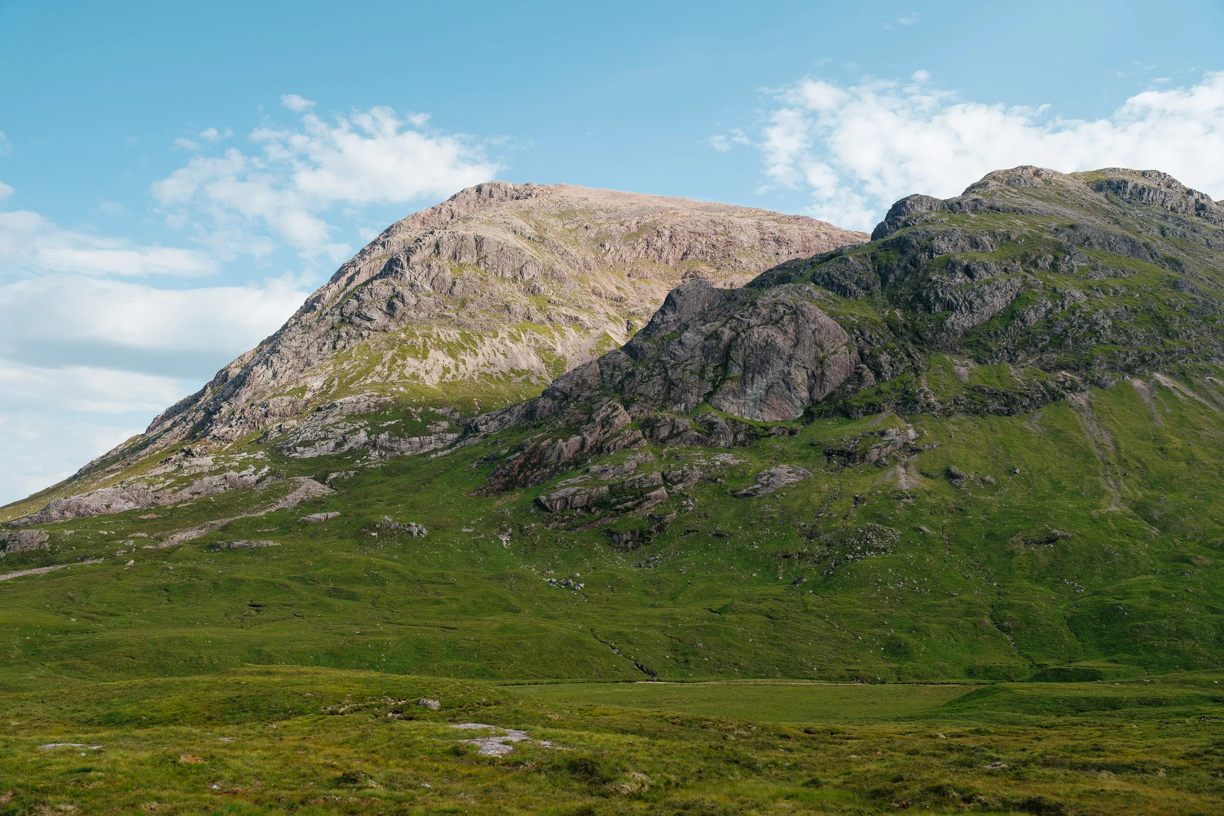
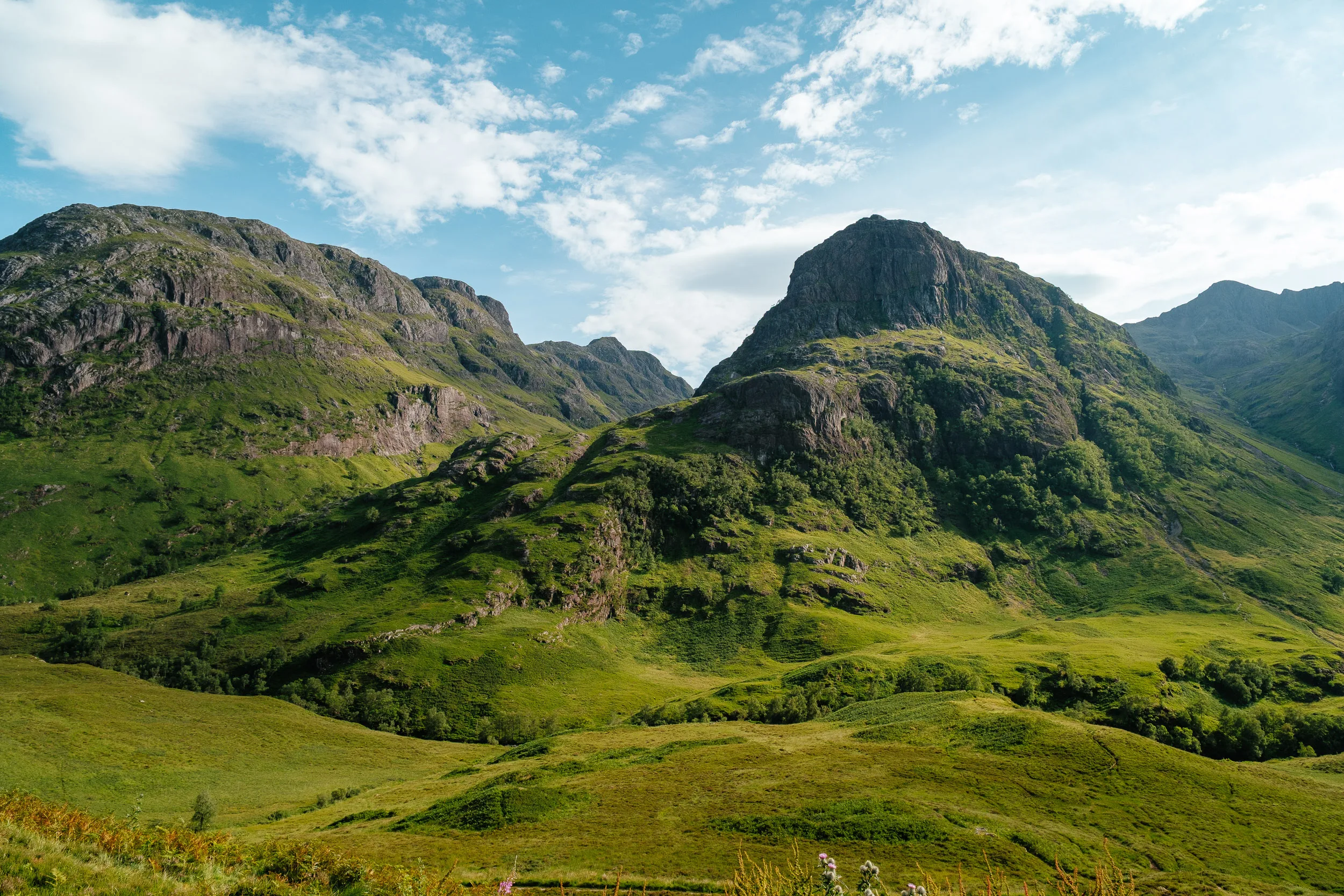
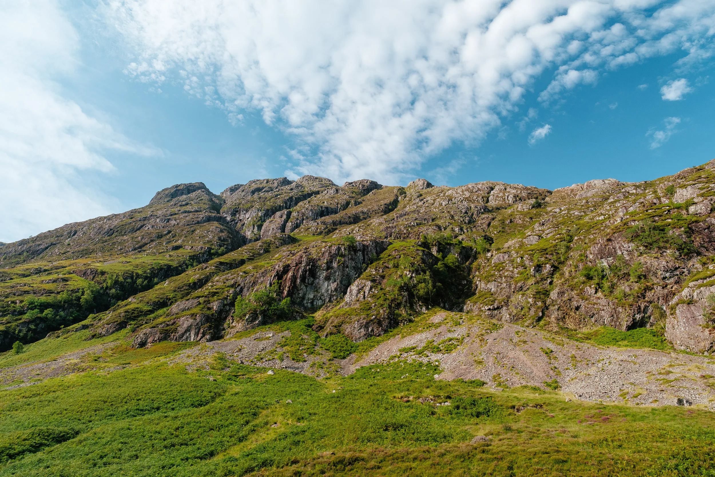
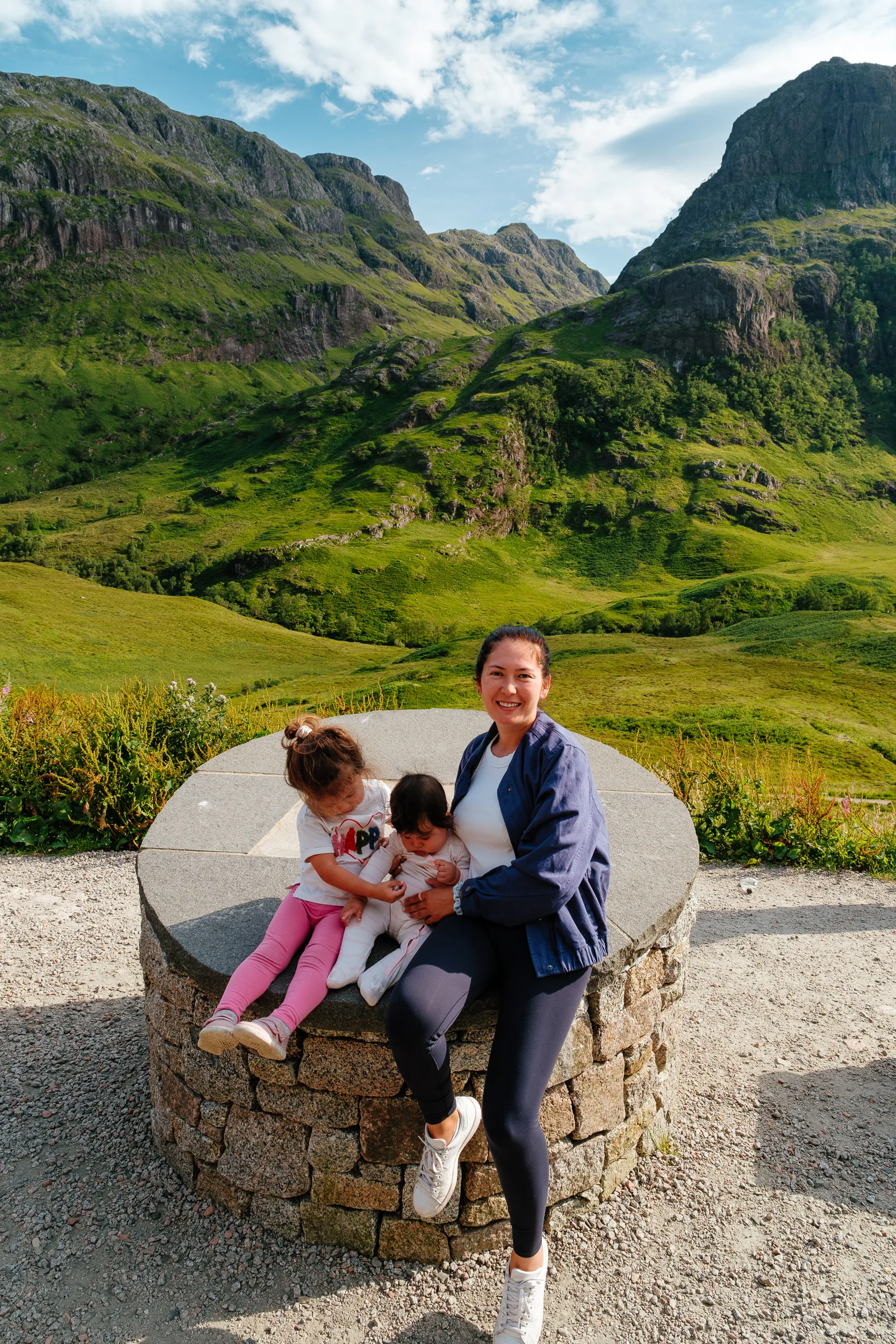
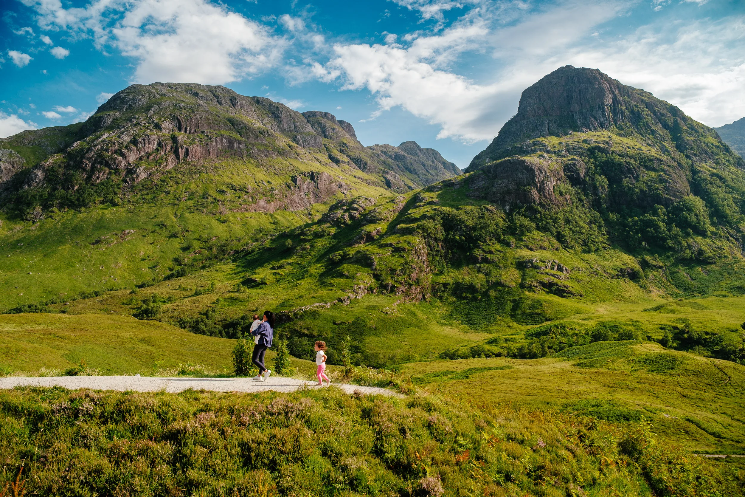
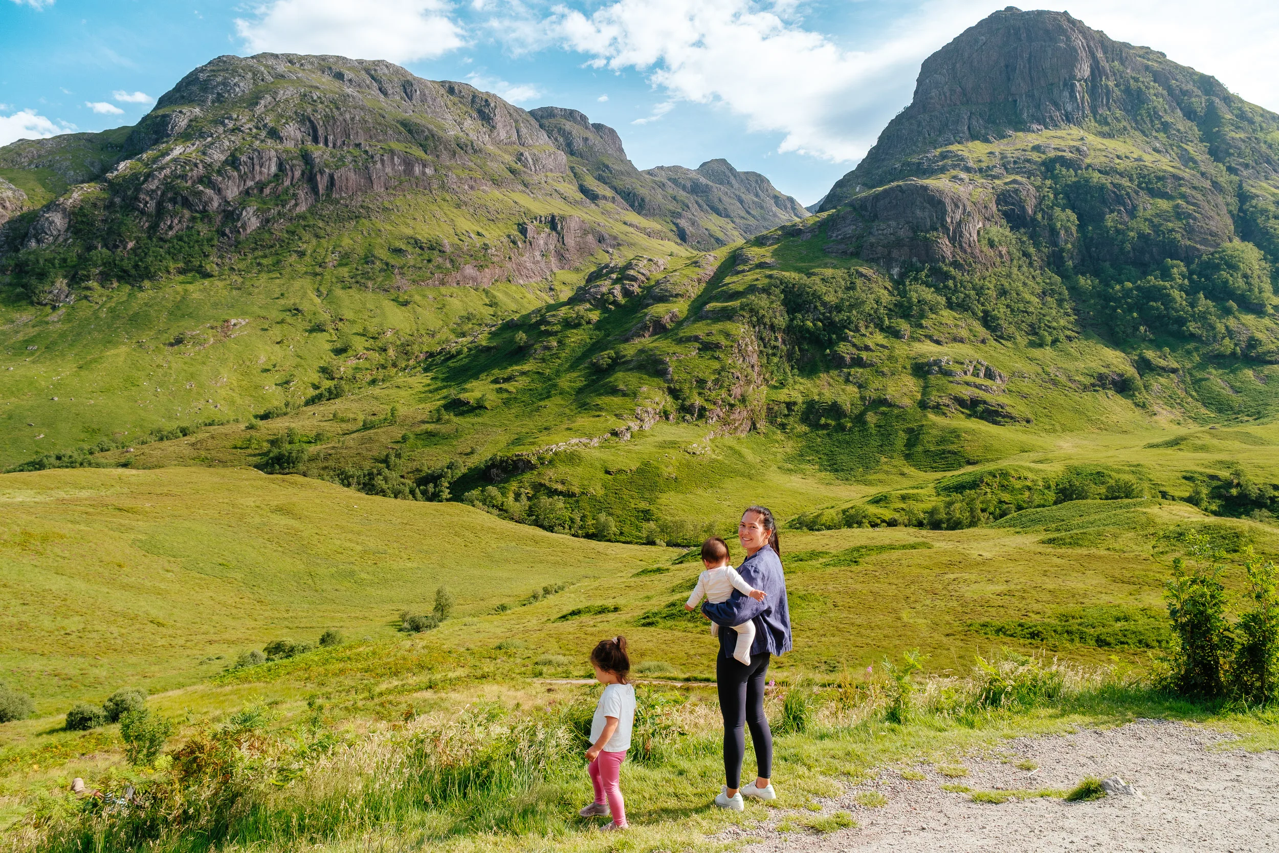
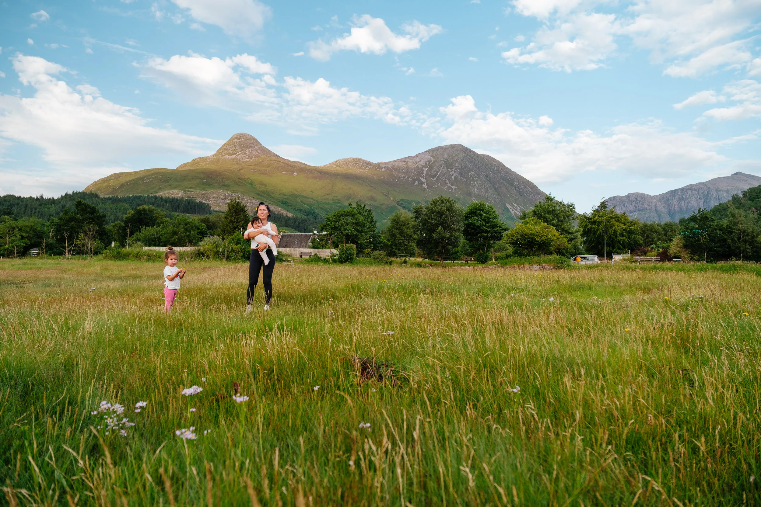
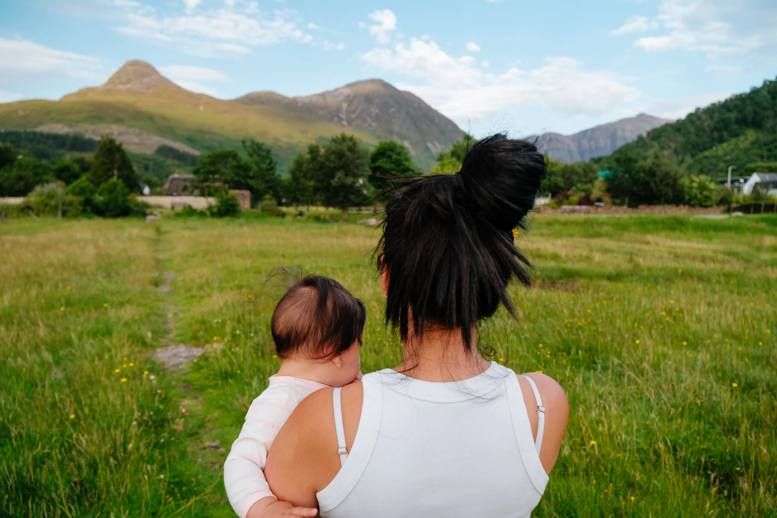
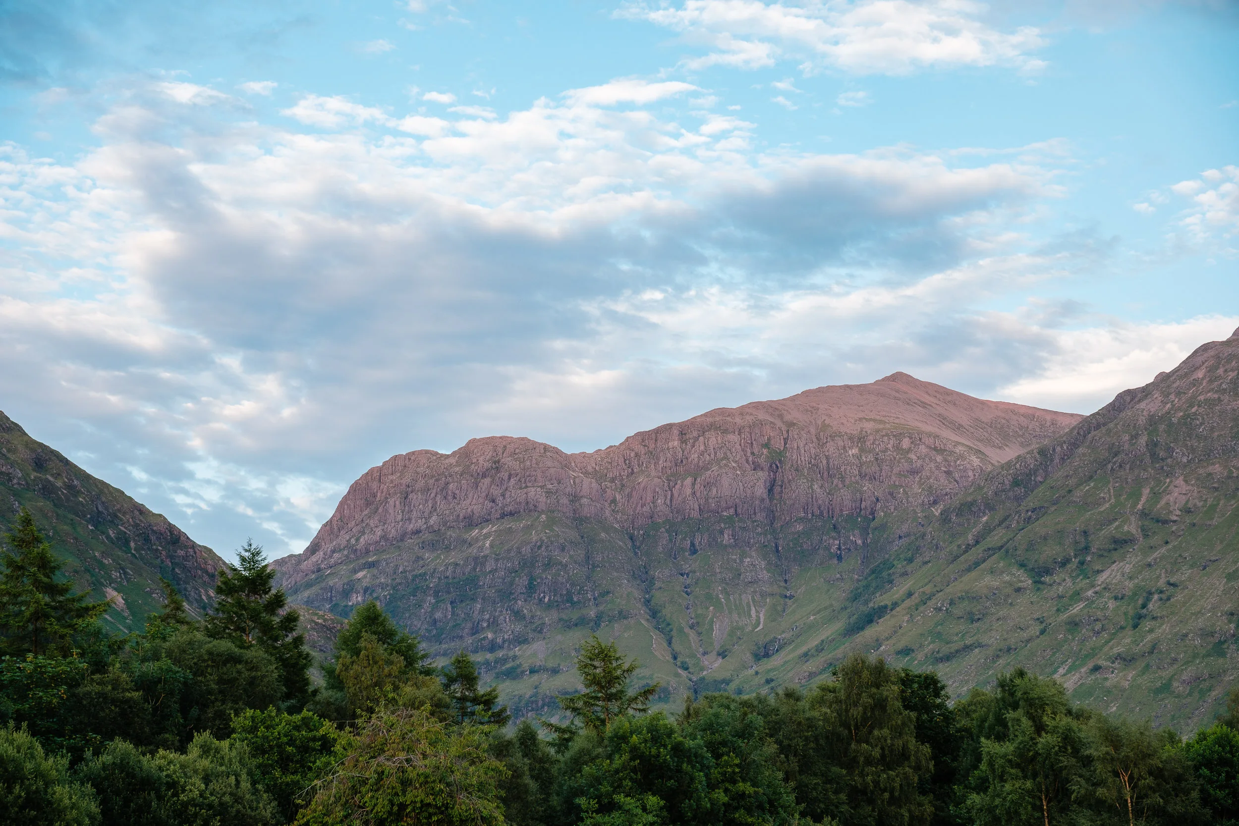
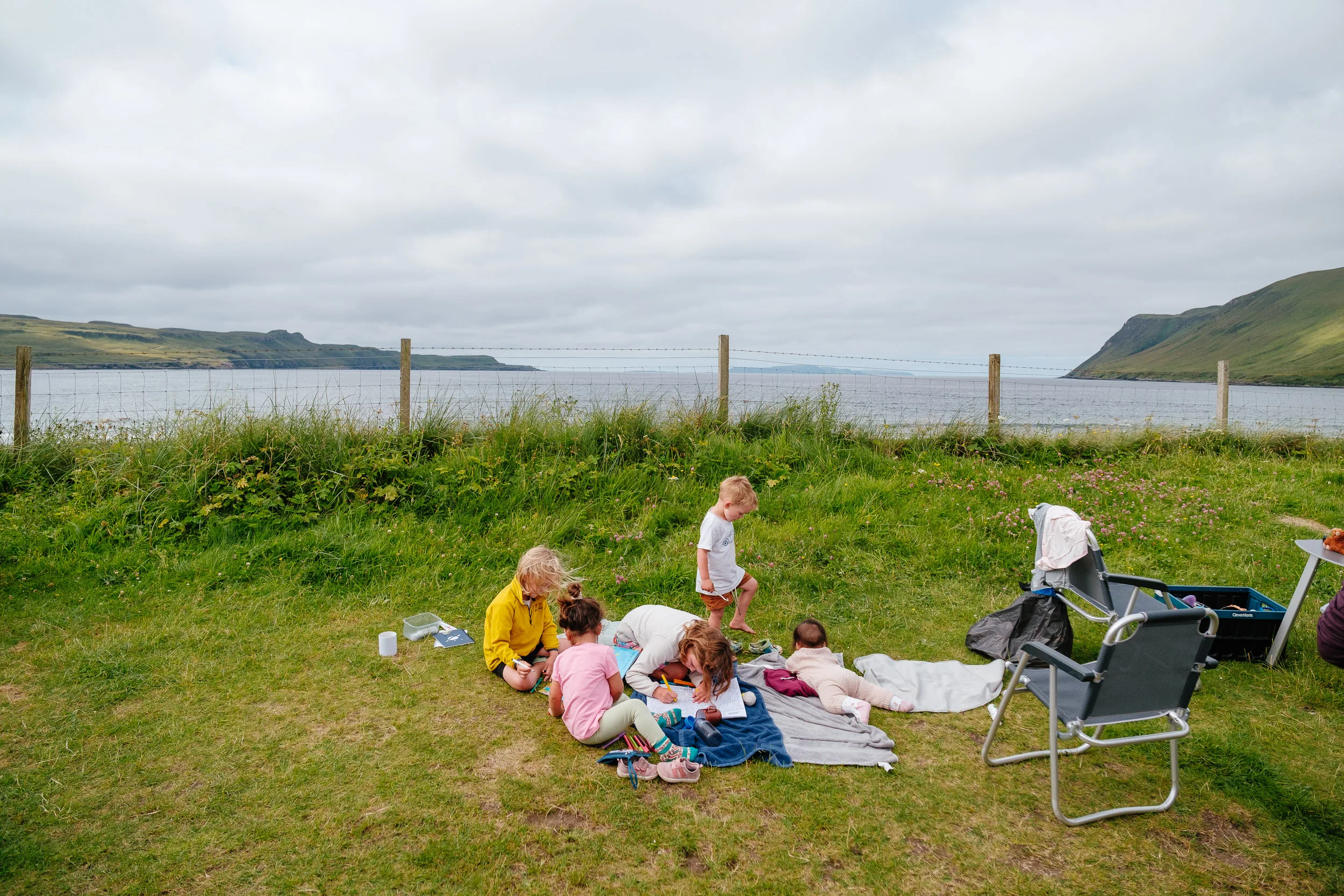
We drove past Buchanan Castle and stopped on the shore of the loch for a little picnic. From there we made our way to the dramatic landscapes of Glen Coe, pausing at the Three Sisters, three great ridges spilling down into the glen, which are really the northern faces of Bidean nam Bian, the highest mountain in the glen at 1,150 metres. Then we walked around the village of Glencoe.
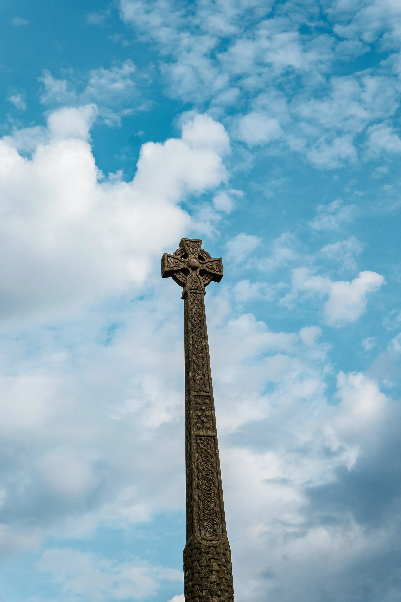
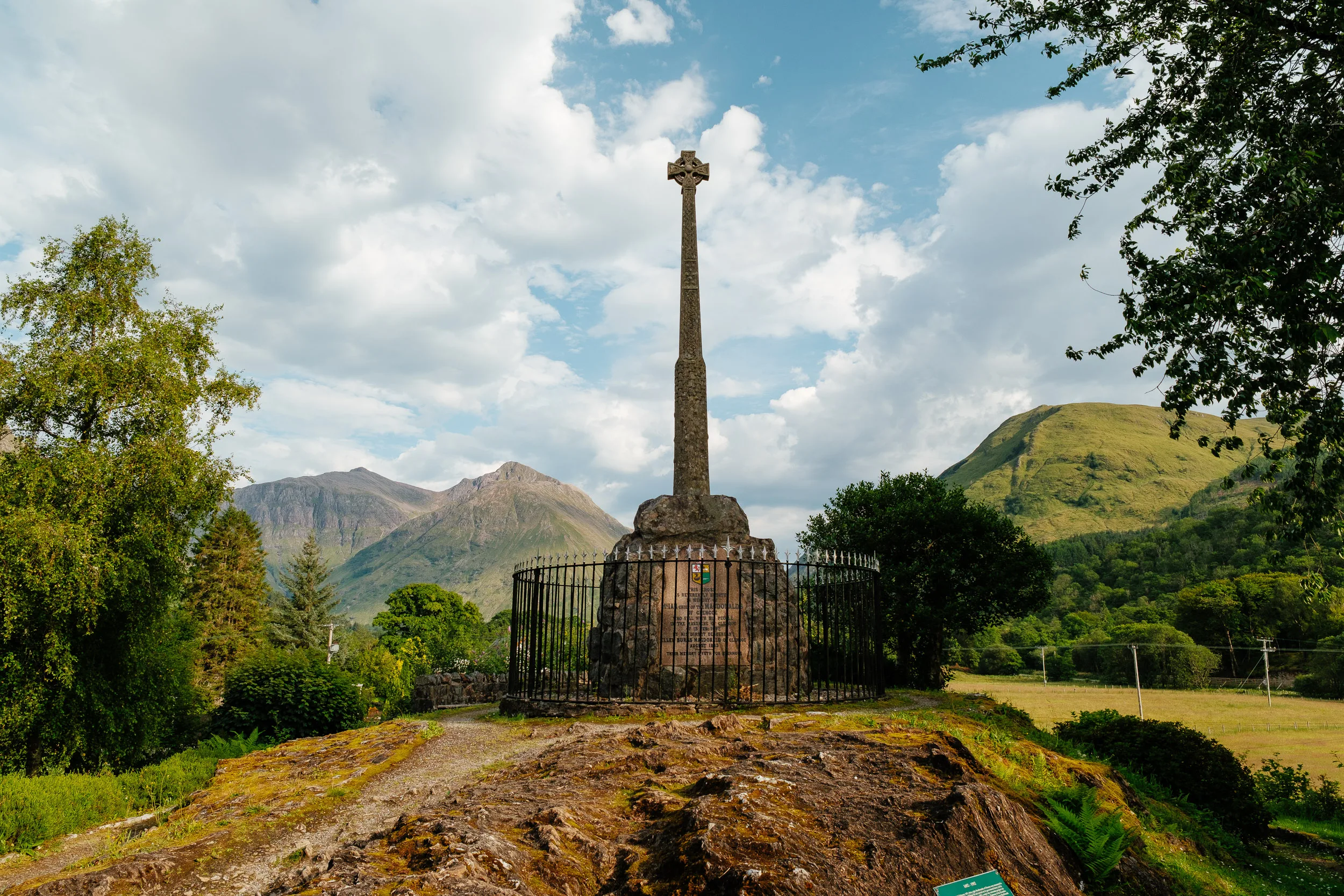
Glencoe is a beautiful place with a very dark story underneath it. On the evening of 12 February 1692, government soldiers who had been quartered with the MacDonalds for almost a fortnight received orders to “fall upon the rebells” and put all to the sword under seventy. At 5am the next morning they attacked their hosts. Around 38 MacDonalds were killed outright, including the chief, and many more died of exposure in the snow as their homes burned. It became known as murder under trust, the outrage at the time was less about the killing than about the breach of Highland hospitality.
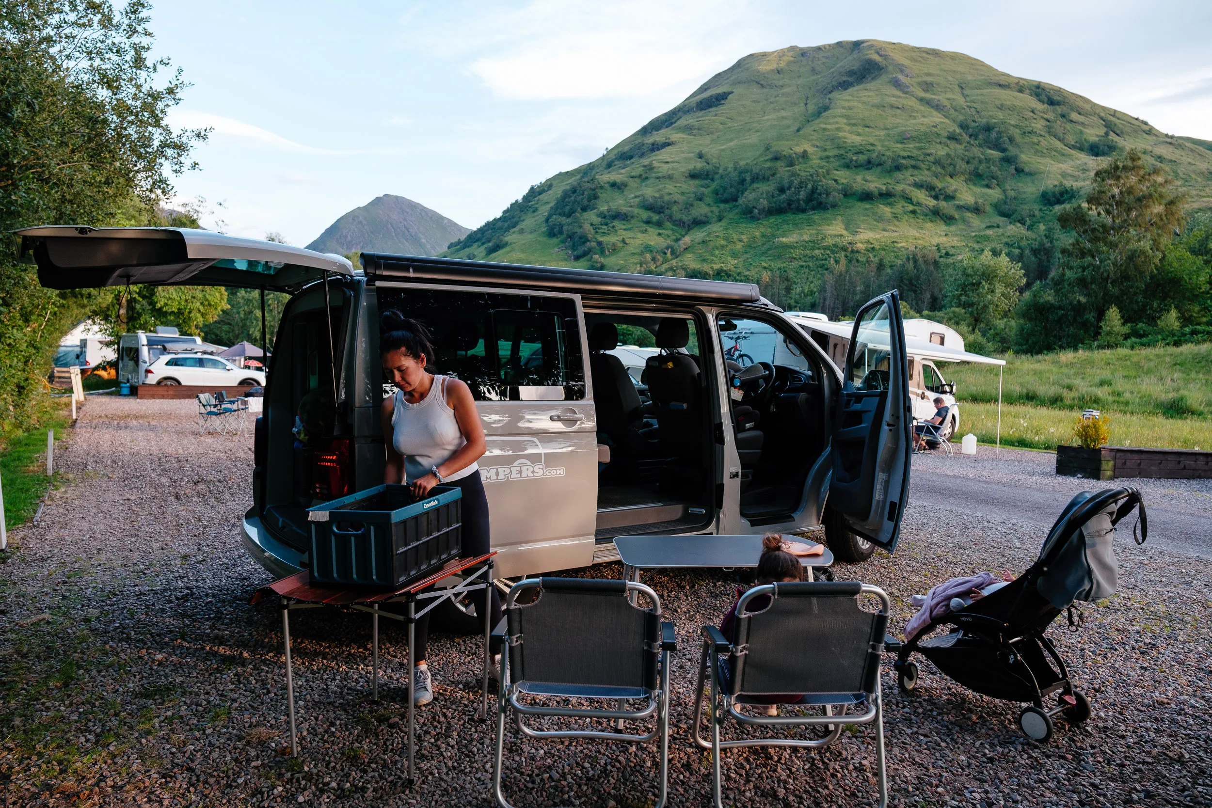
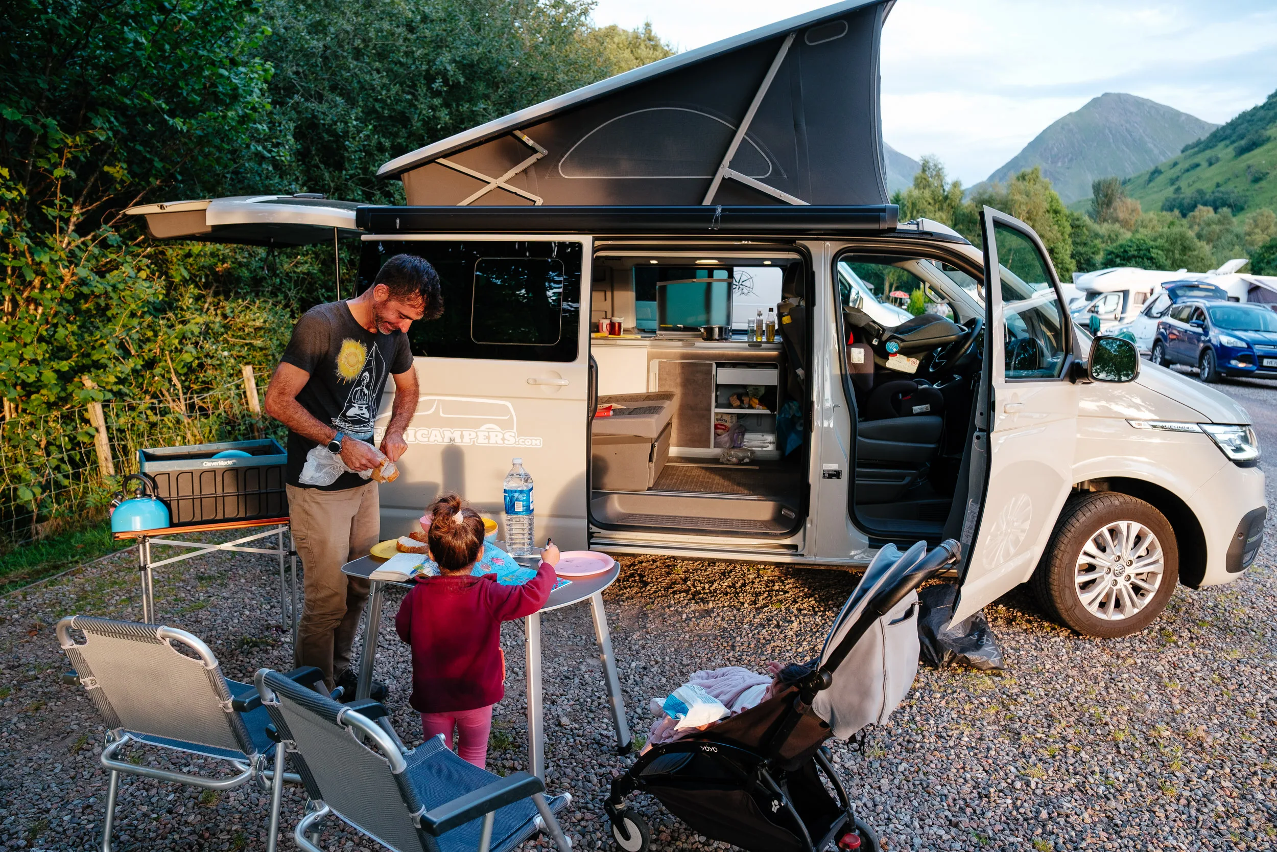
Finally we reached the local campground to spend the night.
Fort William & Glenfinnan
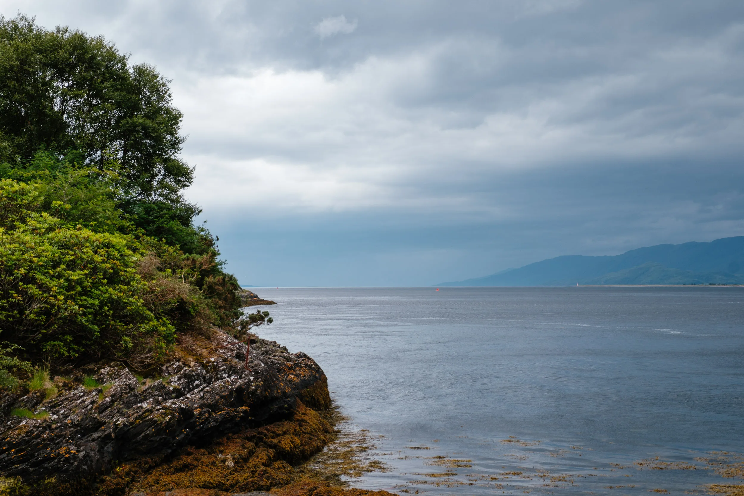
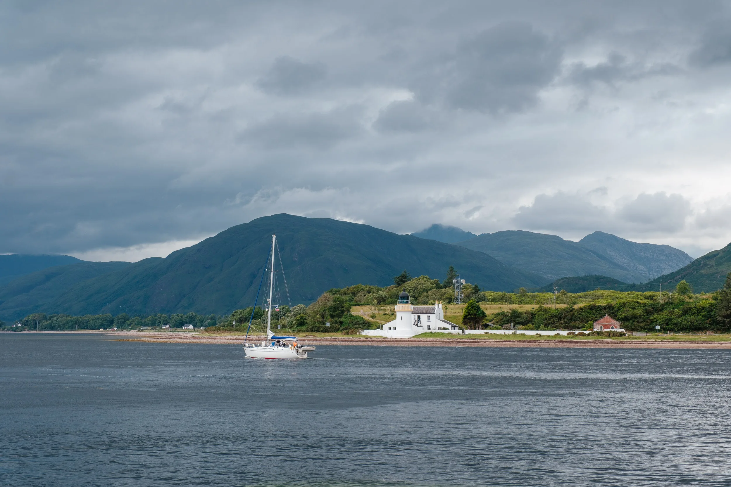
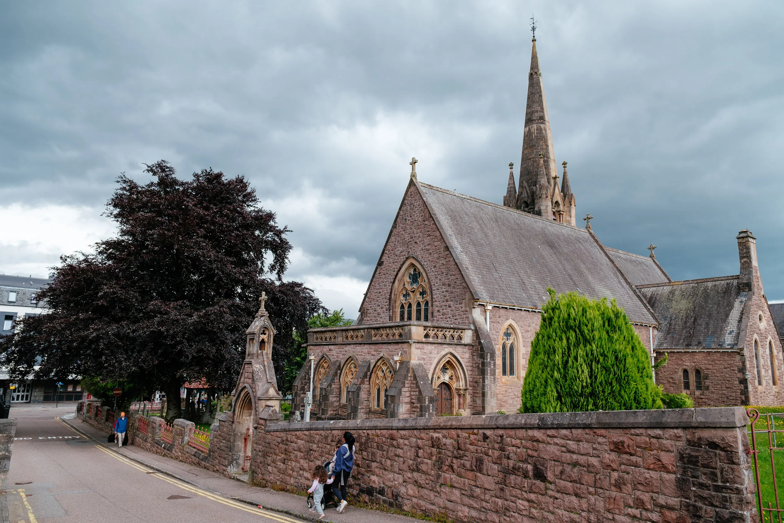
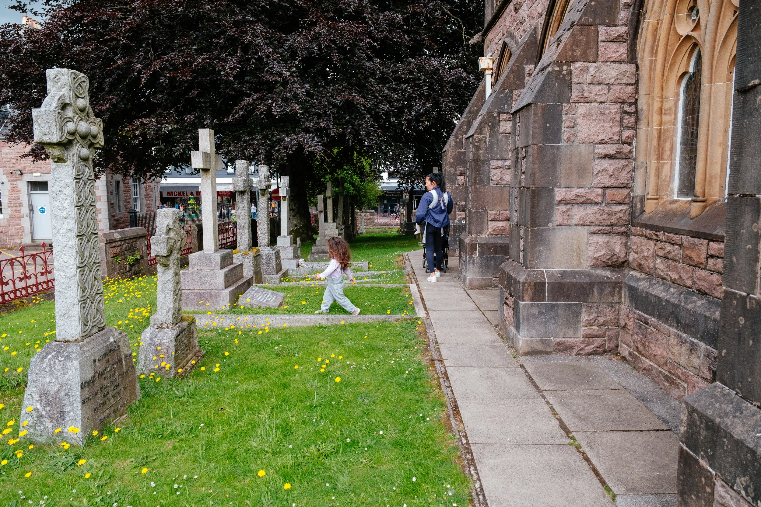
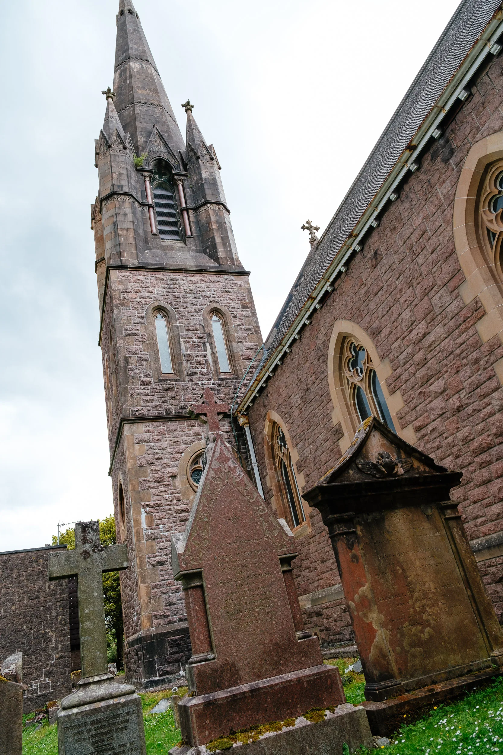
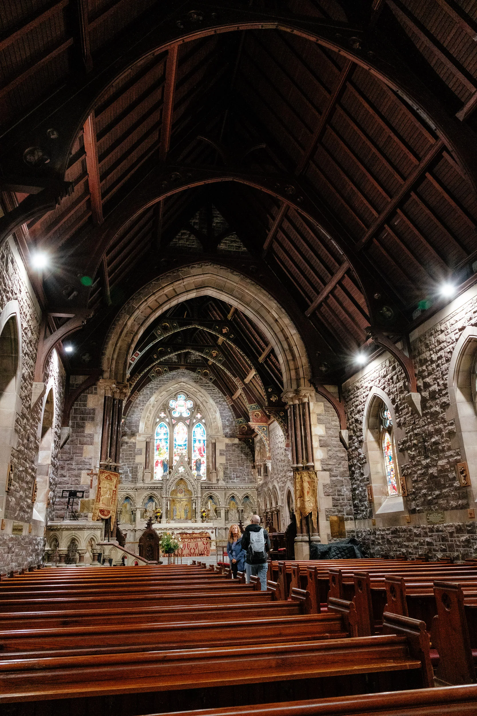
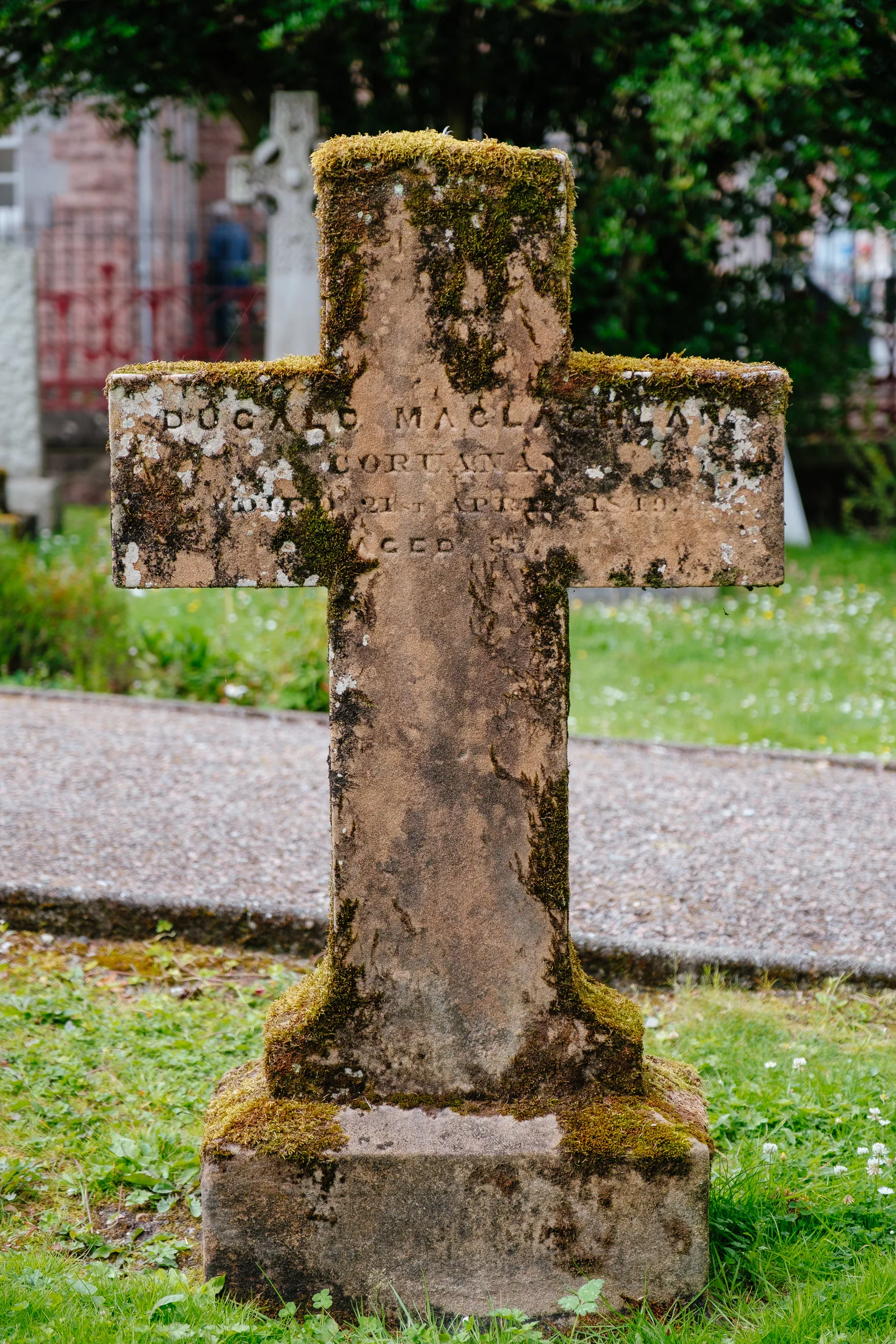
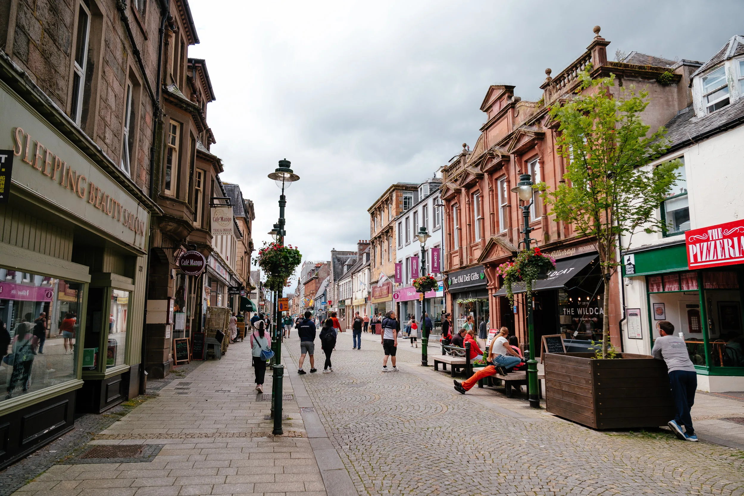
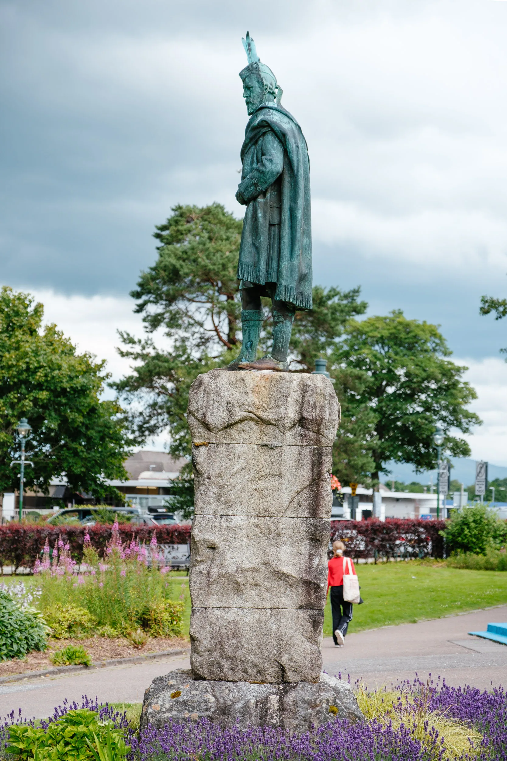
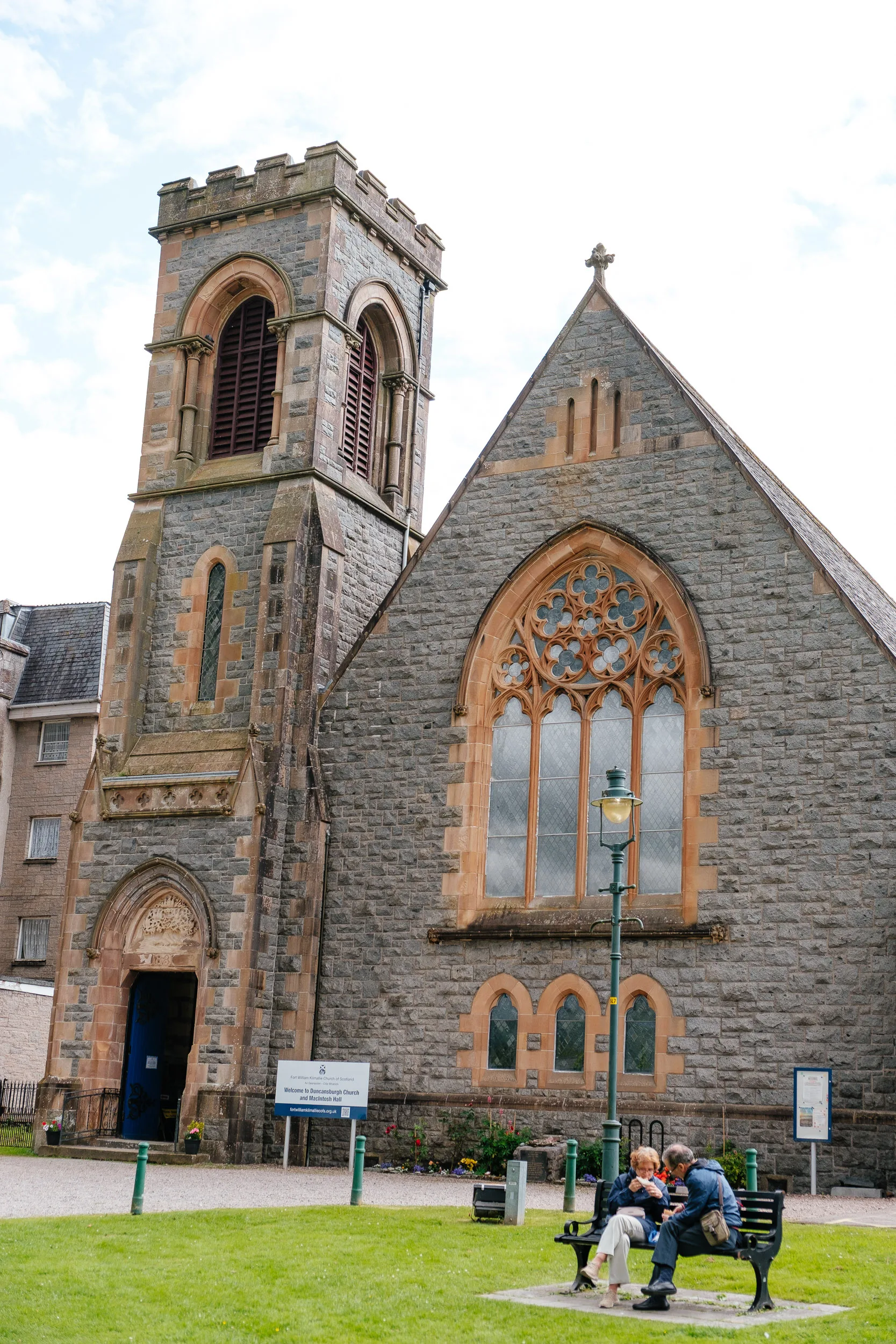
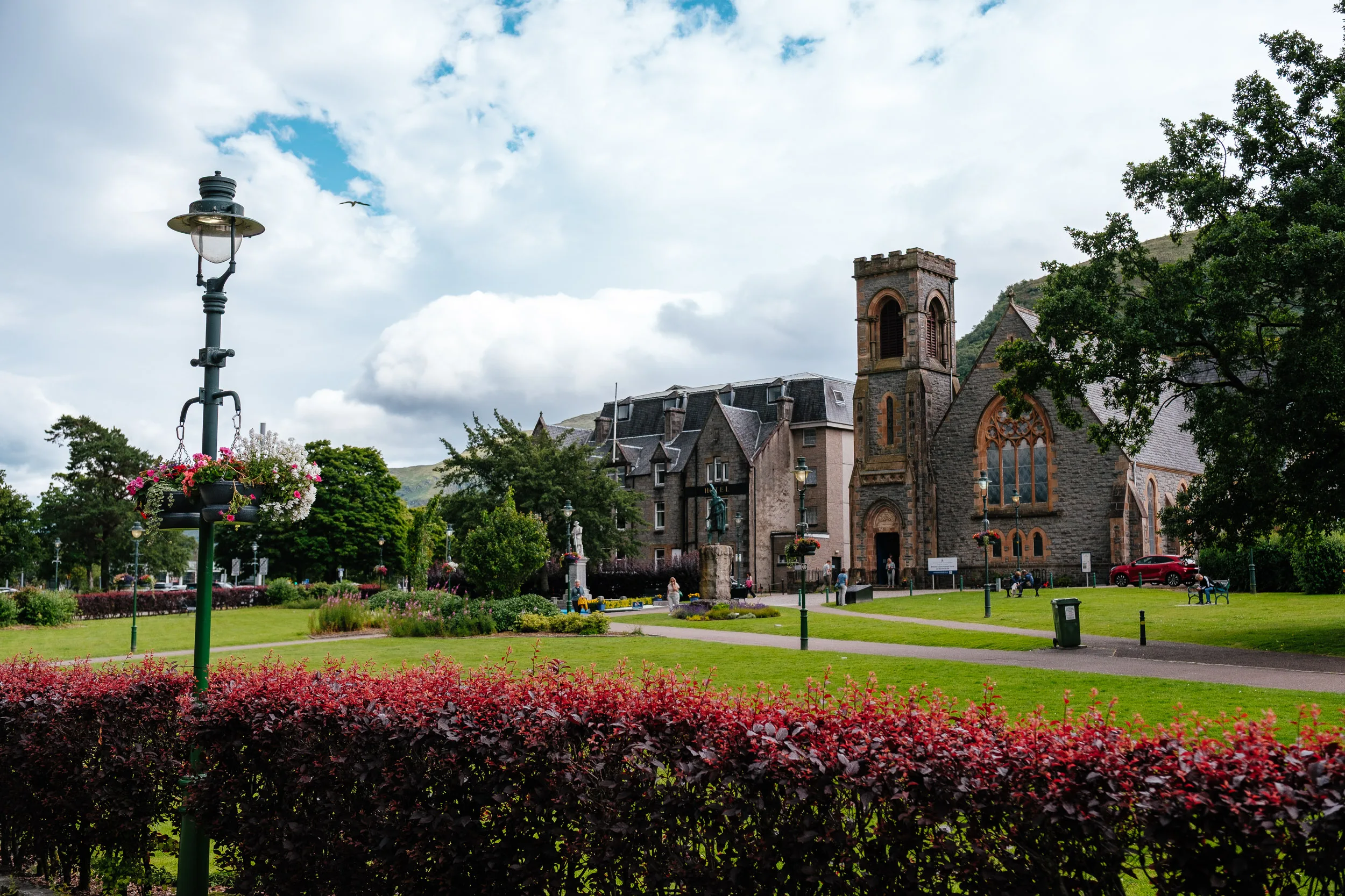
The next day we visited the town of Fort William, which has a really nice main street and beautiful churches.
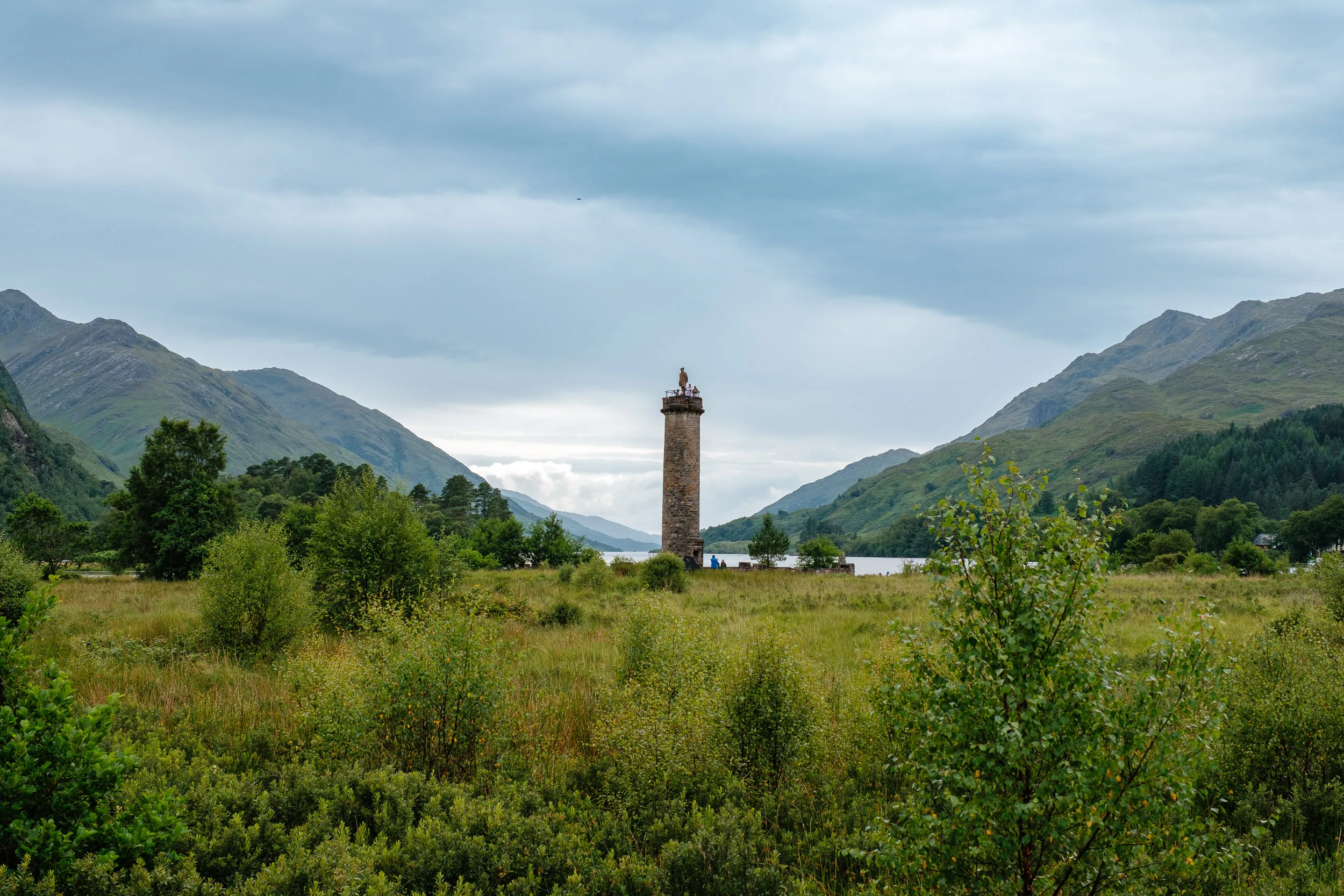
After that, our next stop was the scenic hamlet of Glenfinnan, which manages to pack two completely different kinds of fame into one small valley.
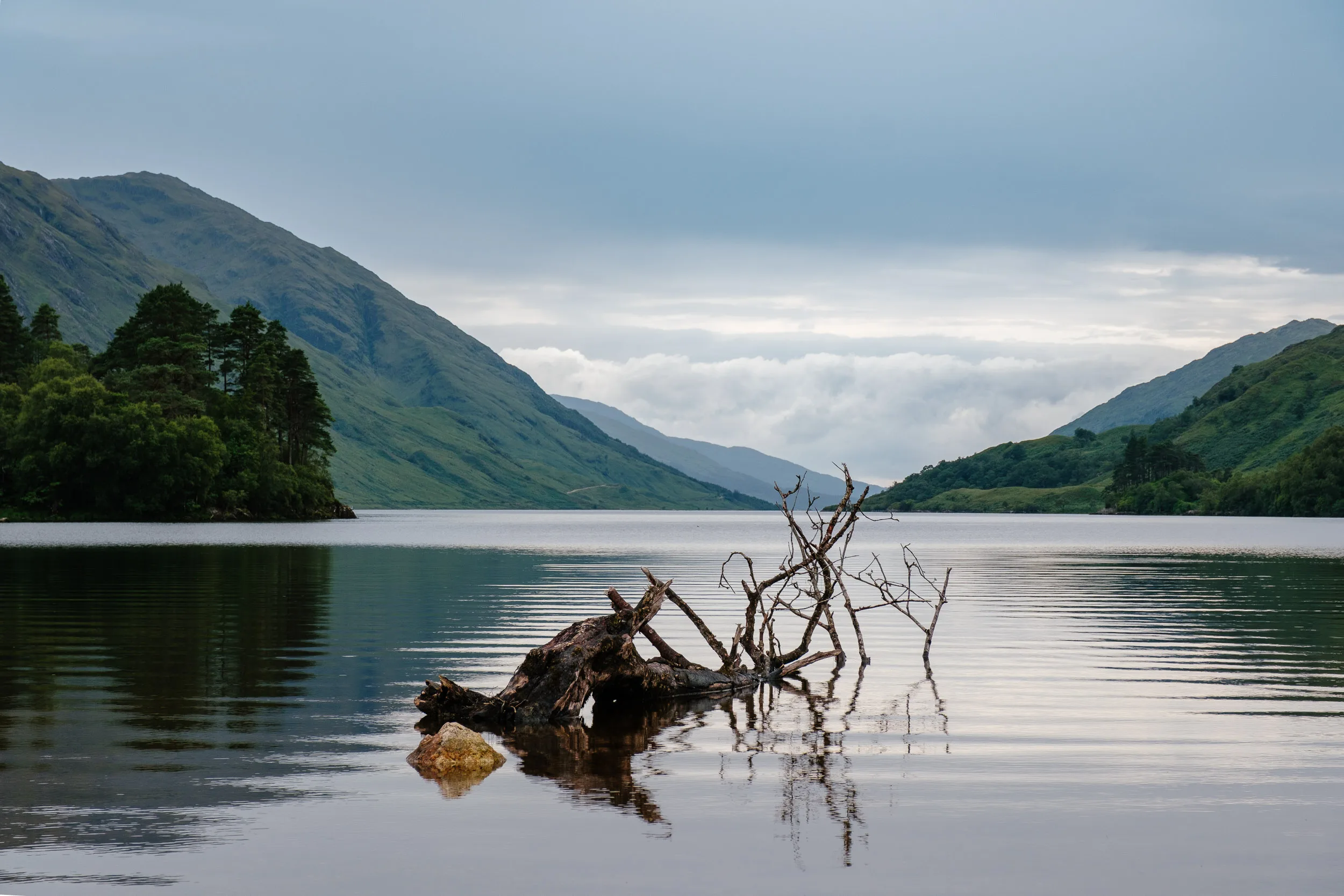
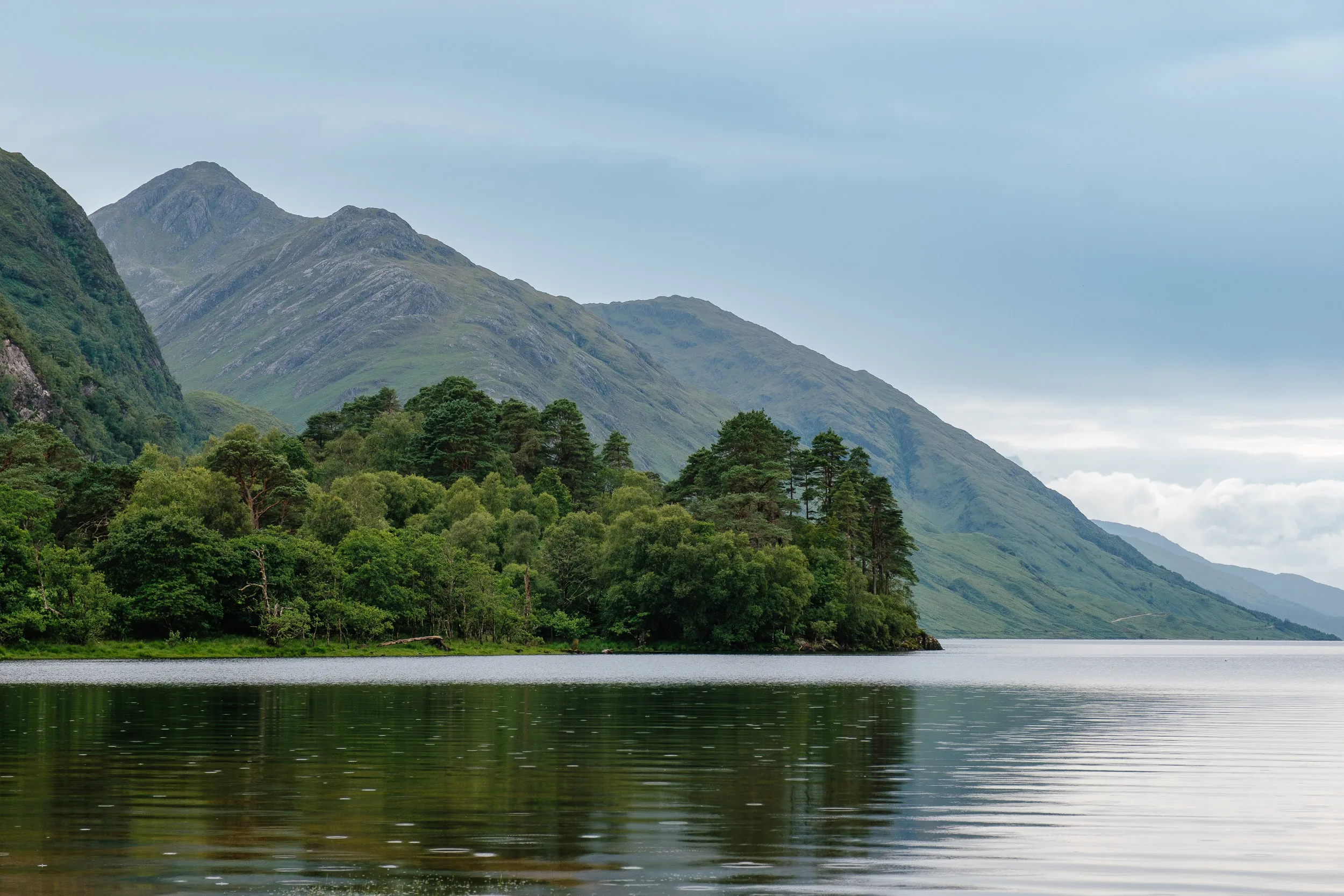
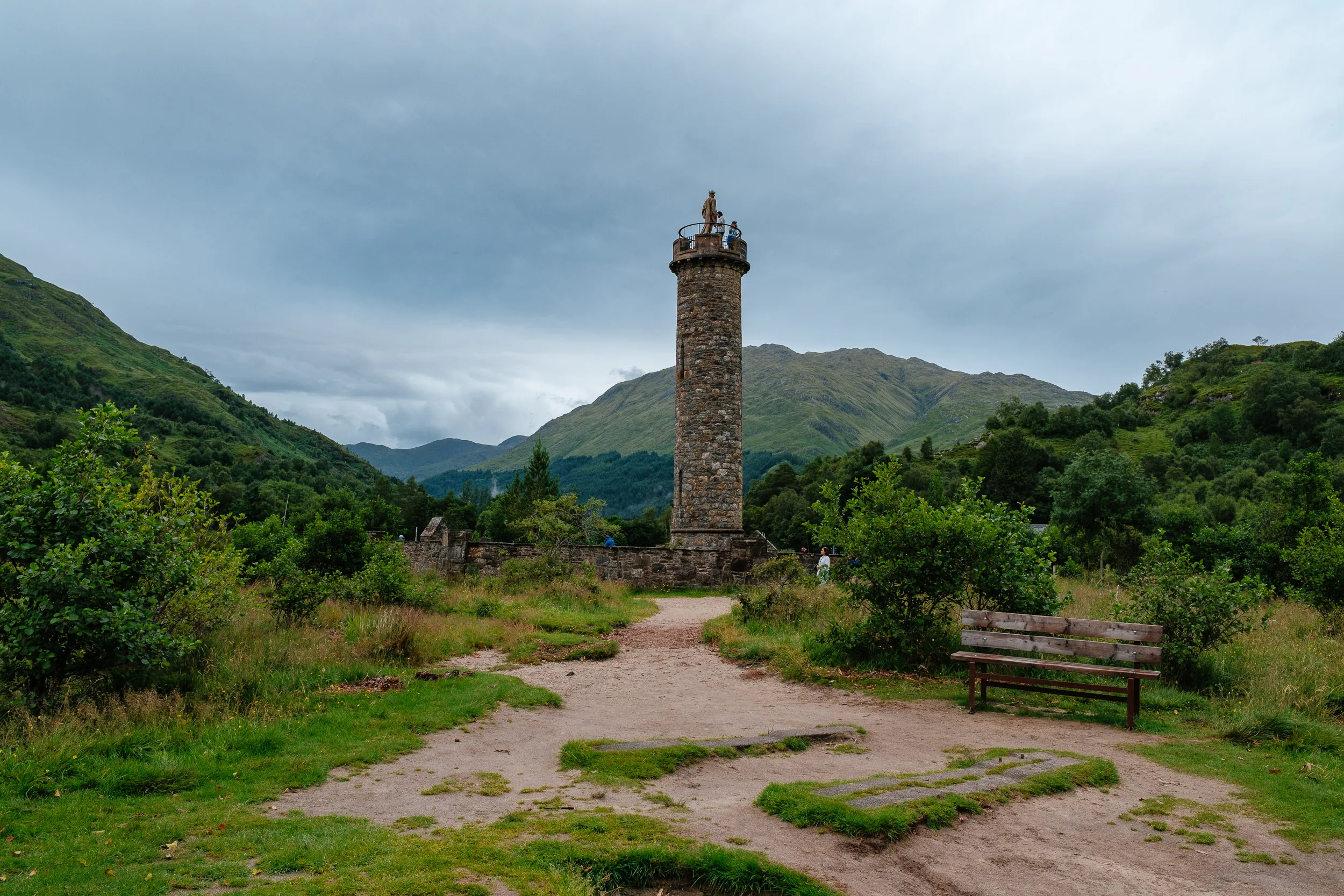
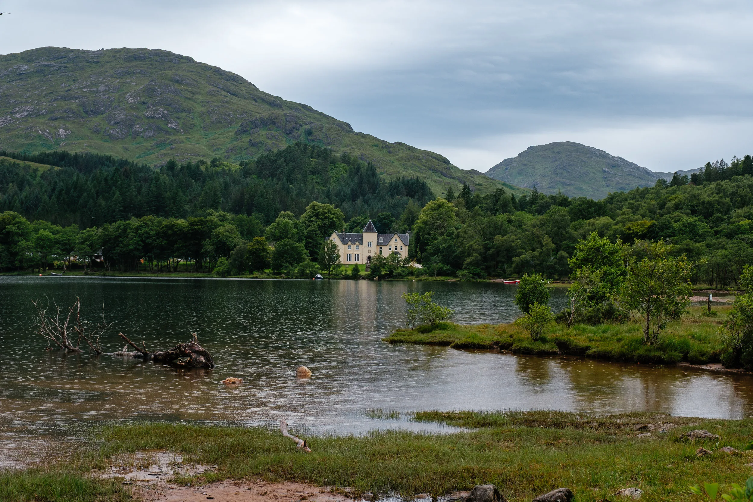
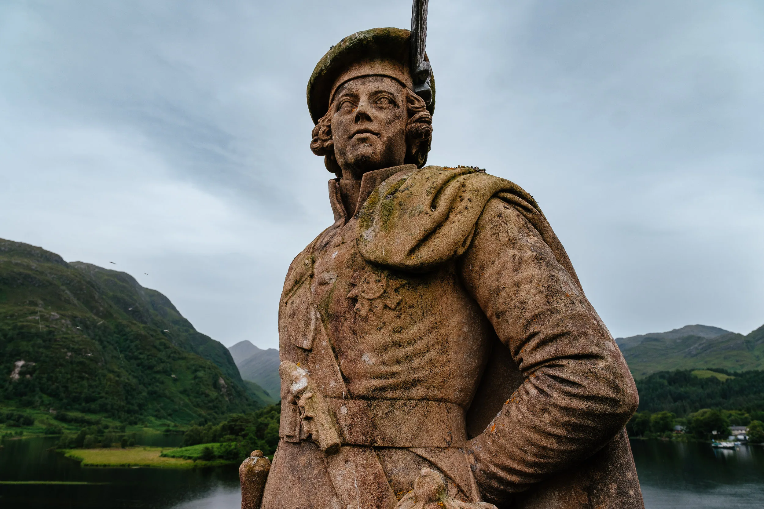
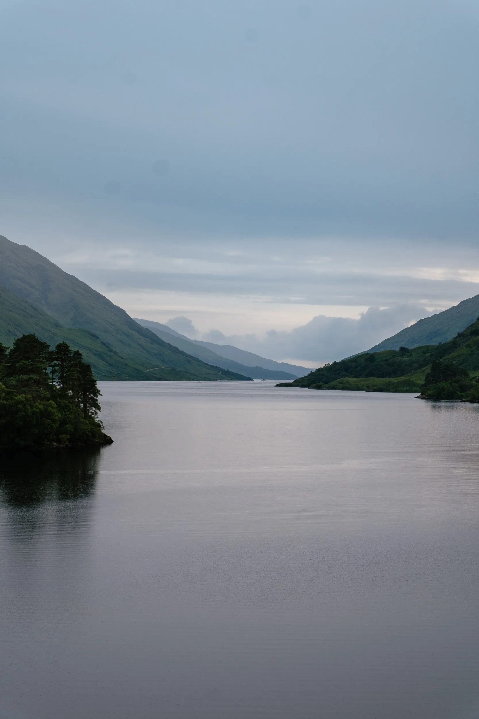
On 19 August 1745, Prince Charles Edward Stuart arrived at the head of Loch Shiel hoping the Highland clans would back his attempt to restore the Stuart monarchy. He raised his standard here and rallied around 1,200 Highlanders, beginning the rising that would end at Culloden. The monument was erected in 1815 by Alexander MacDonald of Glenaladale, a descendant of one of the original supporters. You can climb the spiral staircase inside the 18-metre tower for a view down the loch.
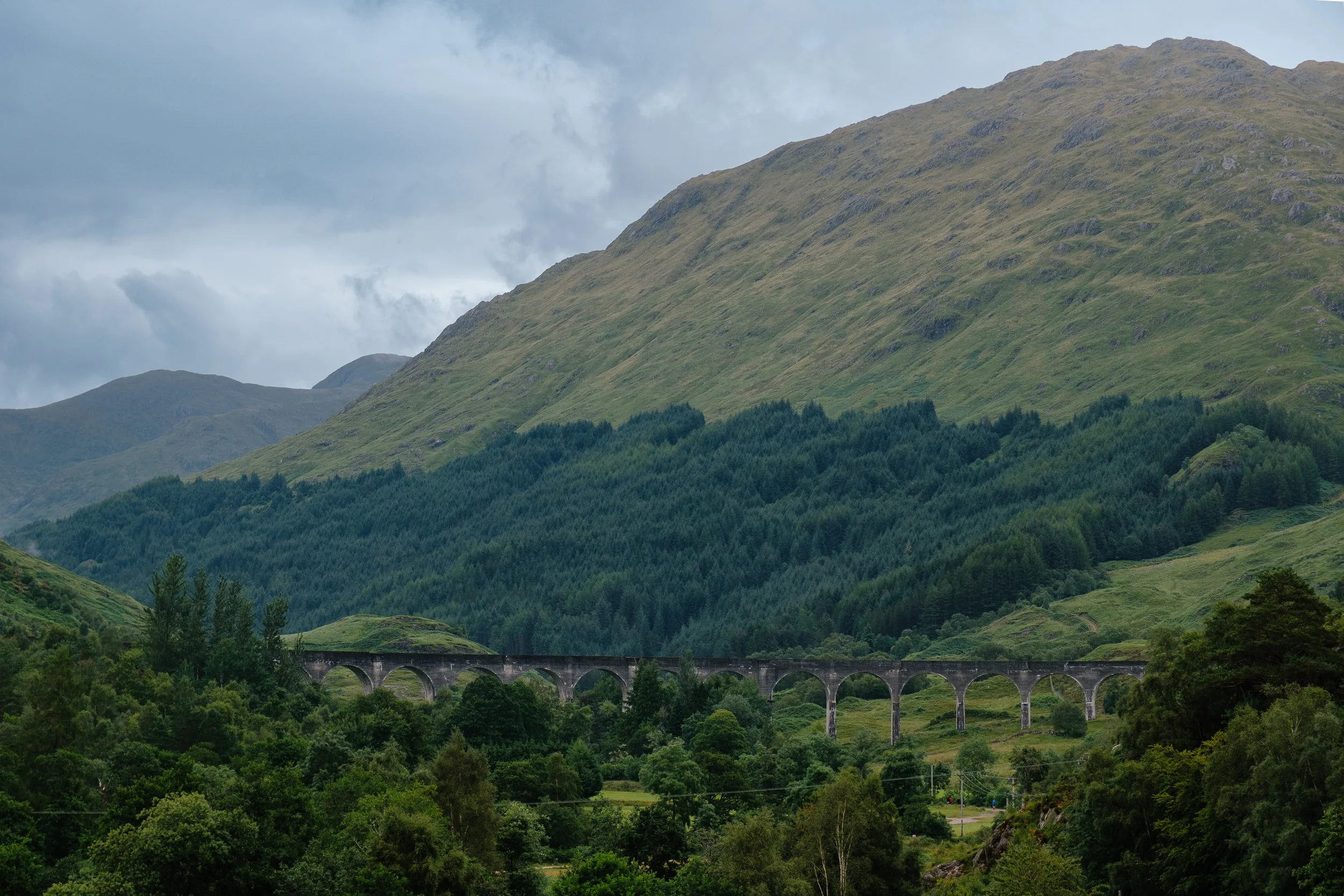
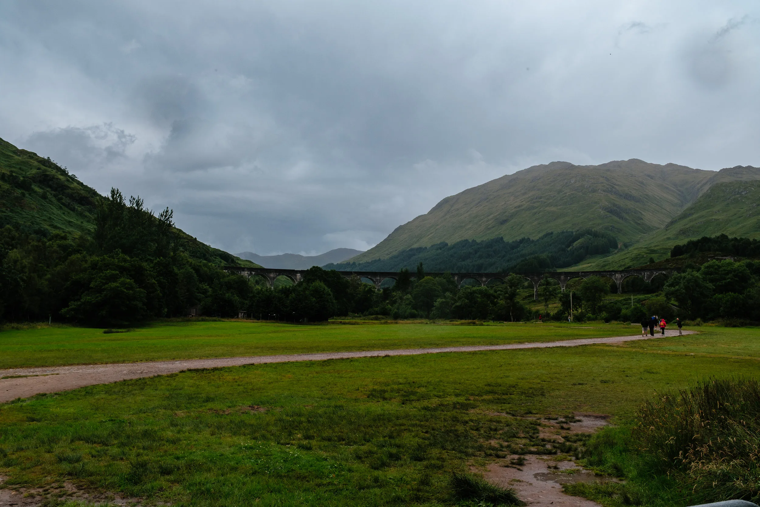
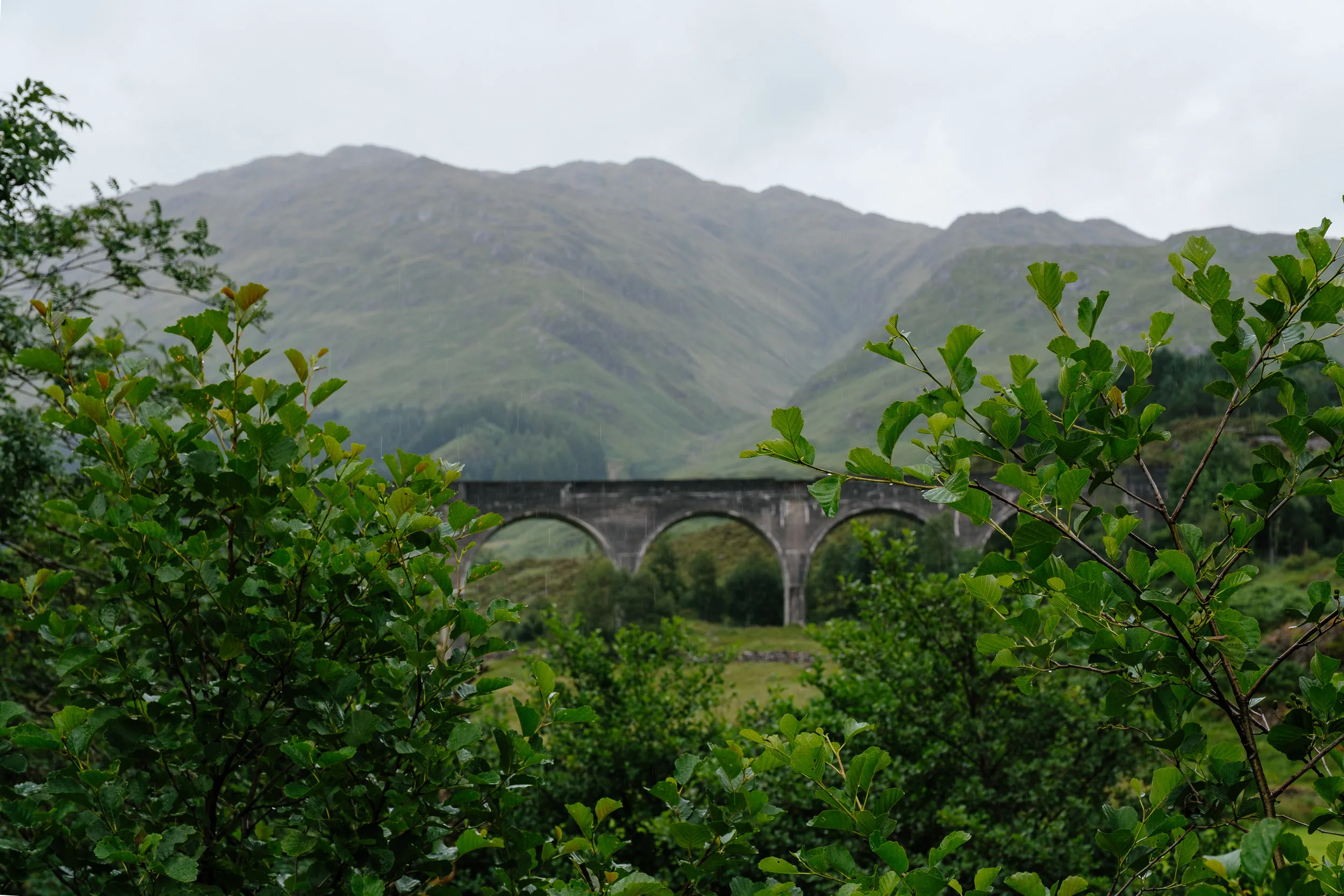
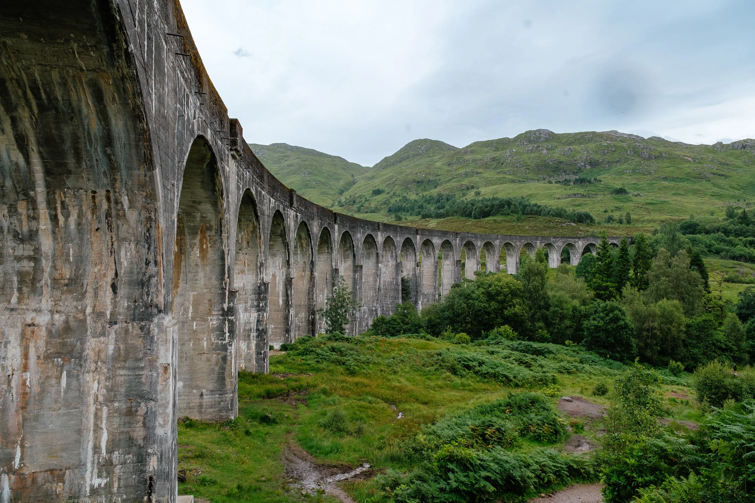
On the other side of the hamlet stands the railway viaduct made famous by the Harry Potter films, with the Hogwarts Express crossing it. It deserves its fame on its own terms. The contractors were Robert McAlpine & Sons, headed by Robert McAlpine, nicknamed “Concrete Bob” for his innovative use of mass concrete; concrete was chosen because the local schist was so hard to work. Construction ran from 1897 to 1898, and the Fort William–Mallaig line opened on 1 April 1901. Its 21 arches span 15 metres each, carrying the line 30 metres above the River Finnan across a total length of 380 metres, the longest concrete railway bridge in Scotland, and still carrying daily trains more than a century later.
Silver Sands of Morar, Nevis Range & Eilean Donan Castle
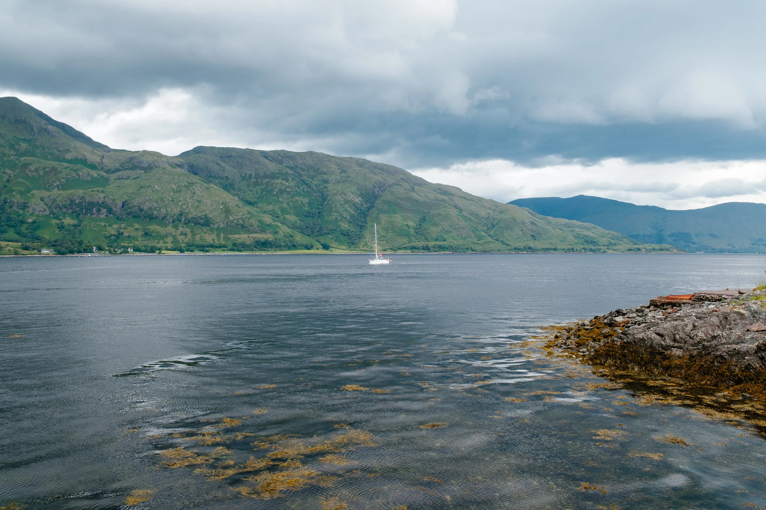
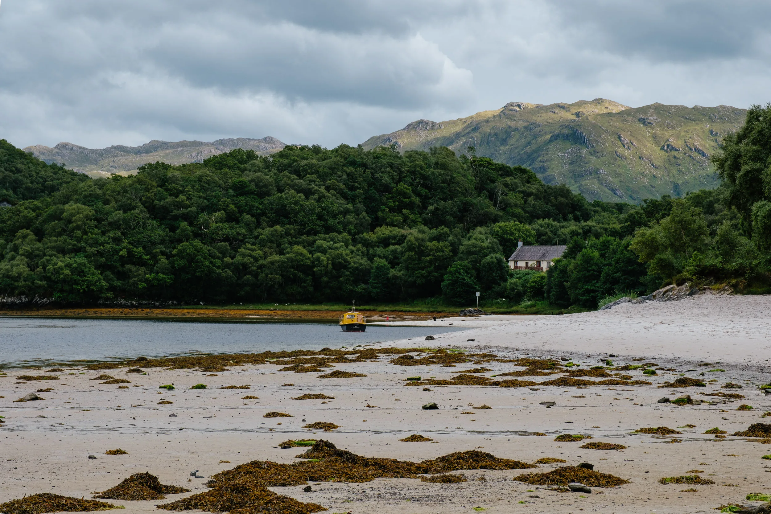
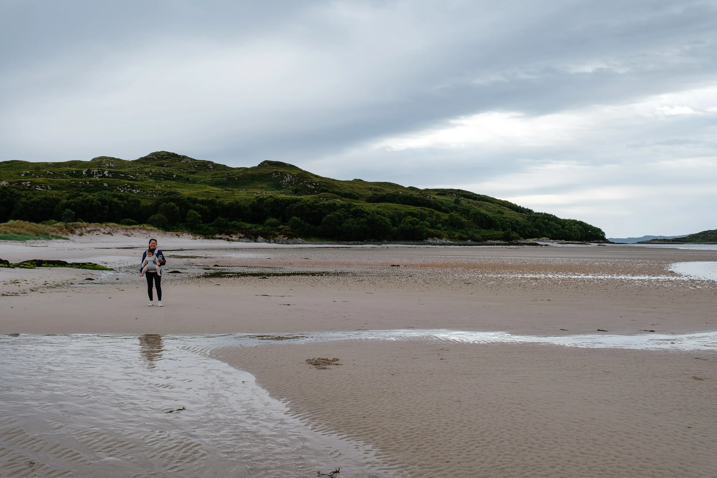
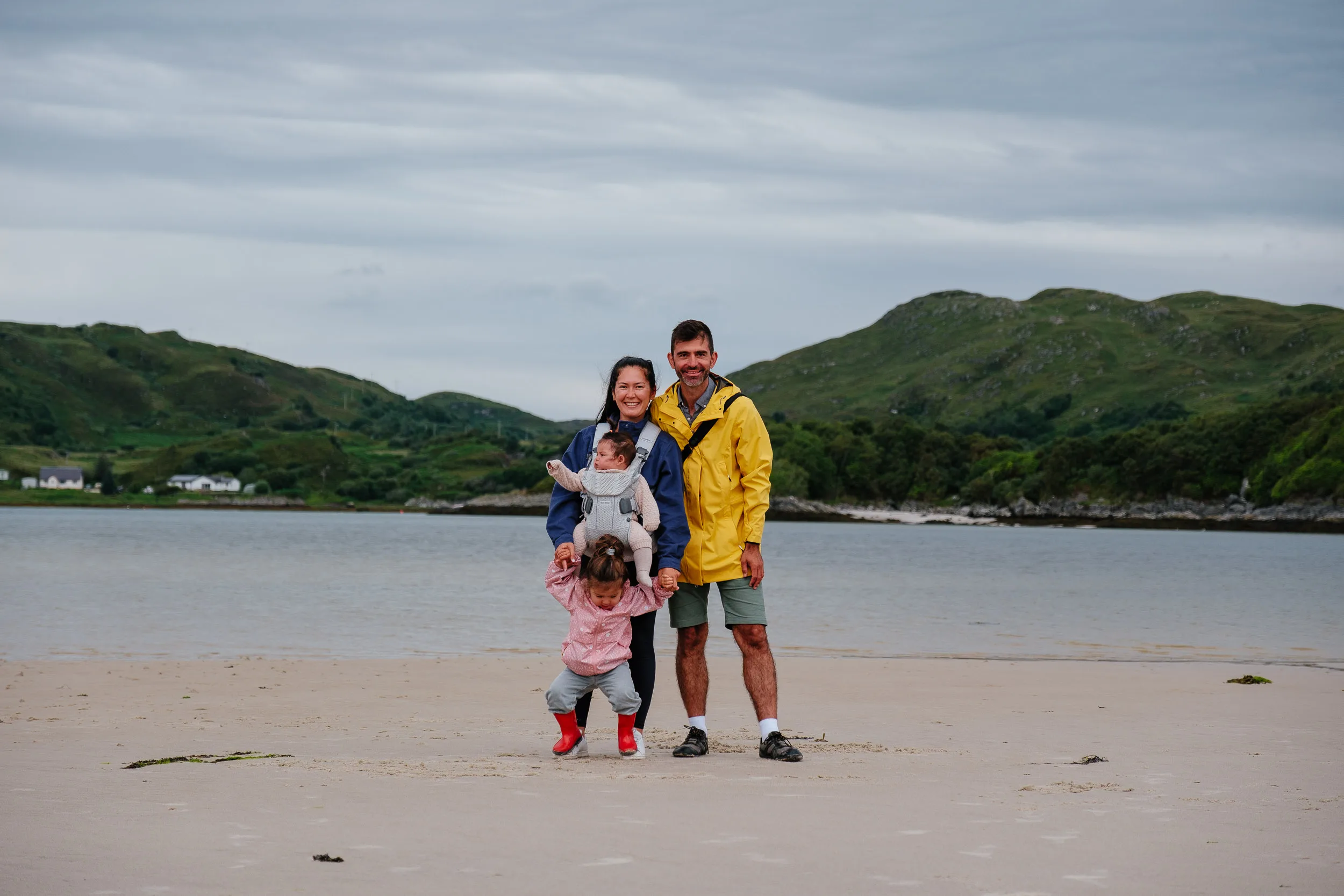
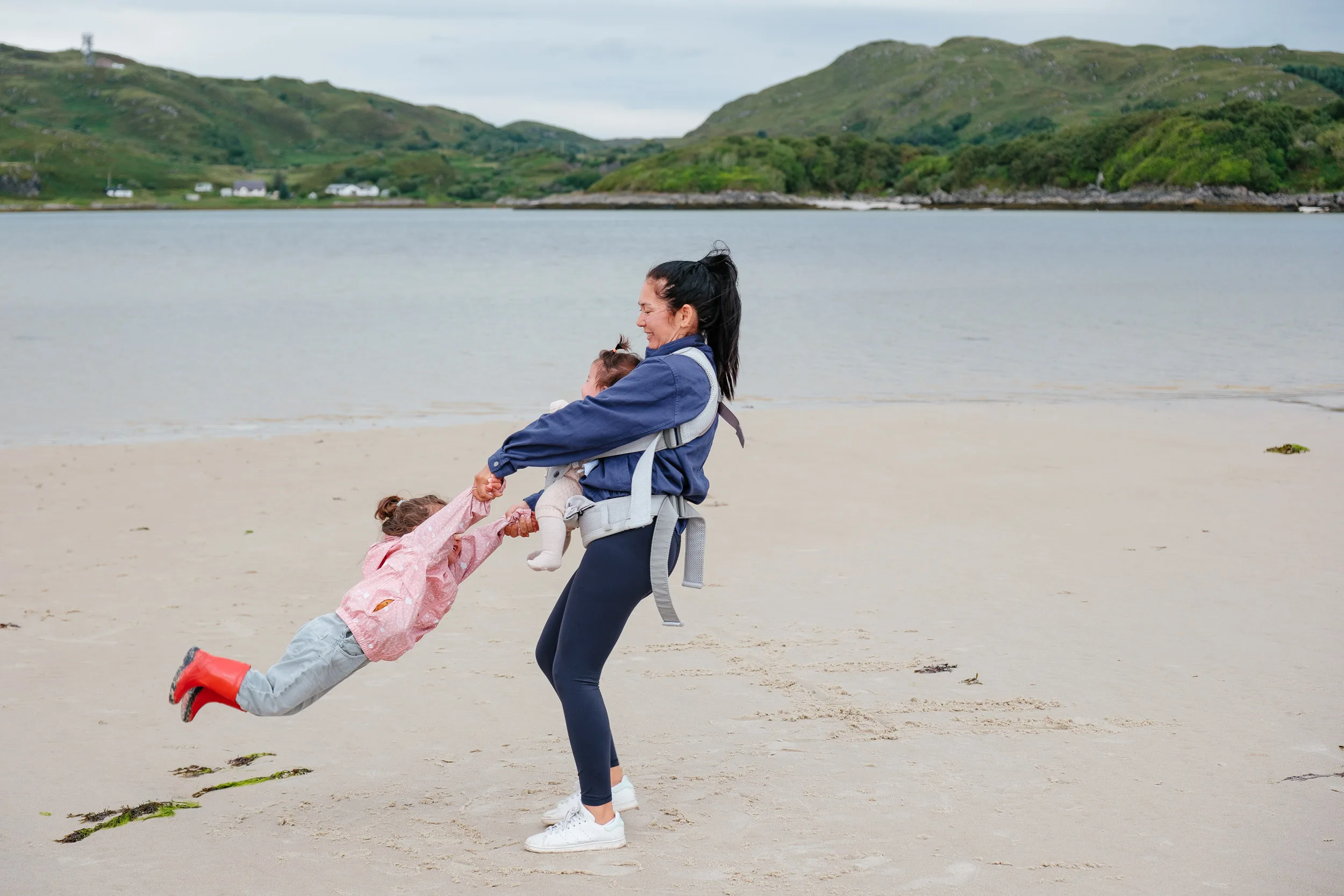
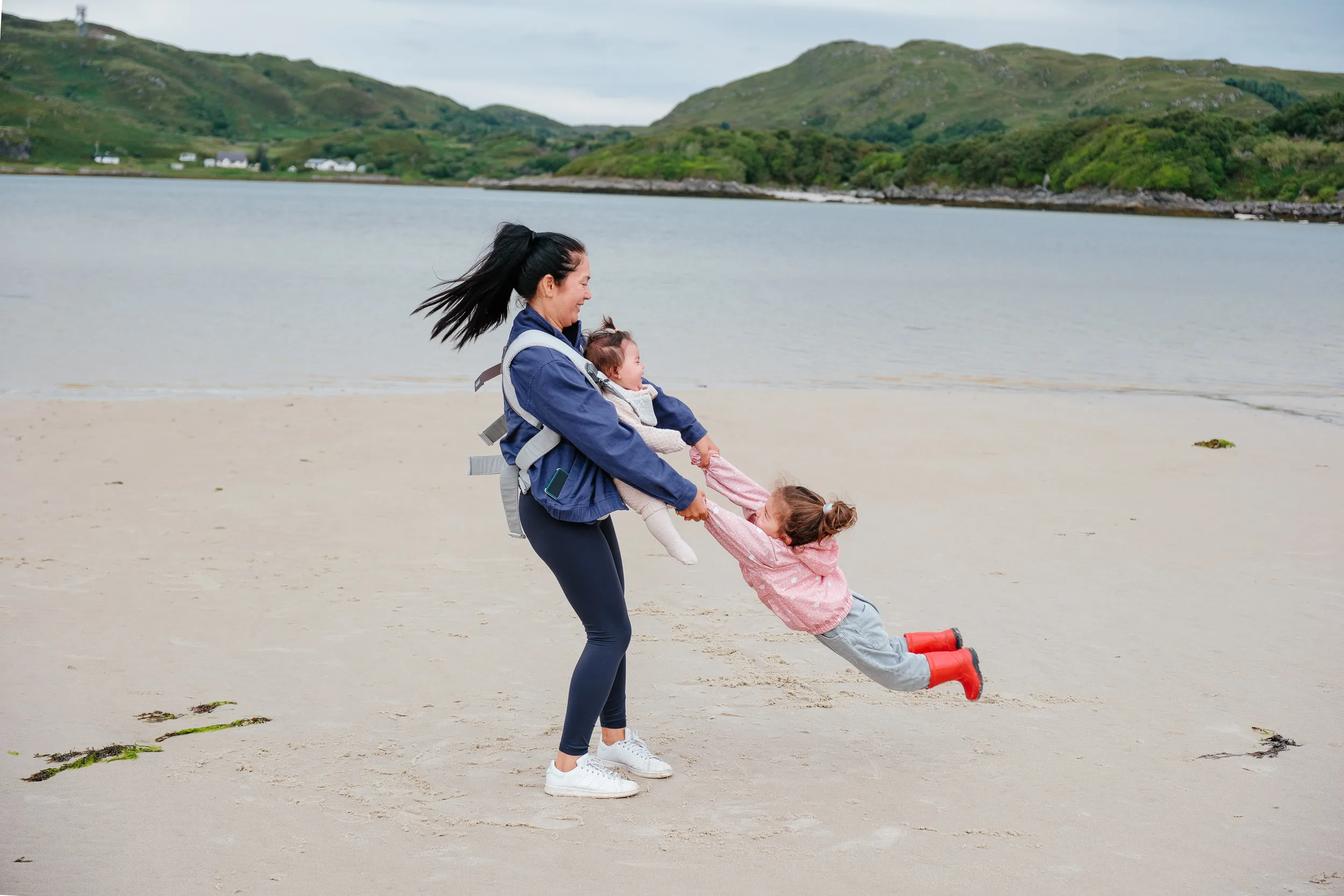
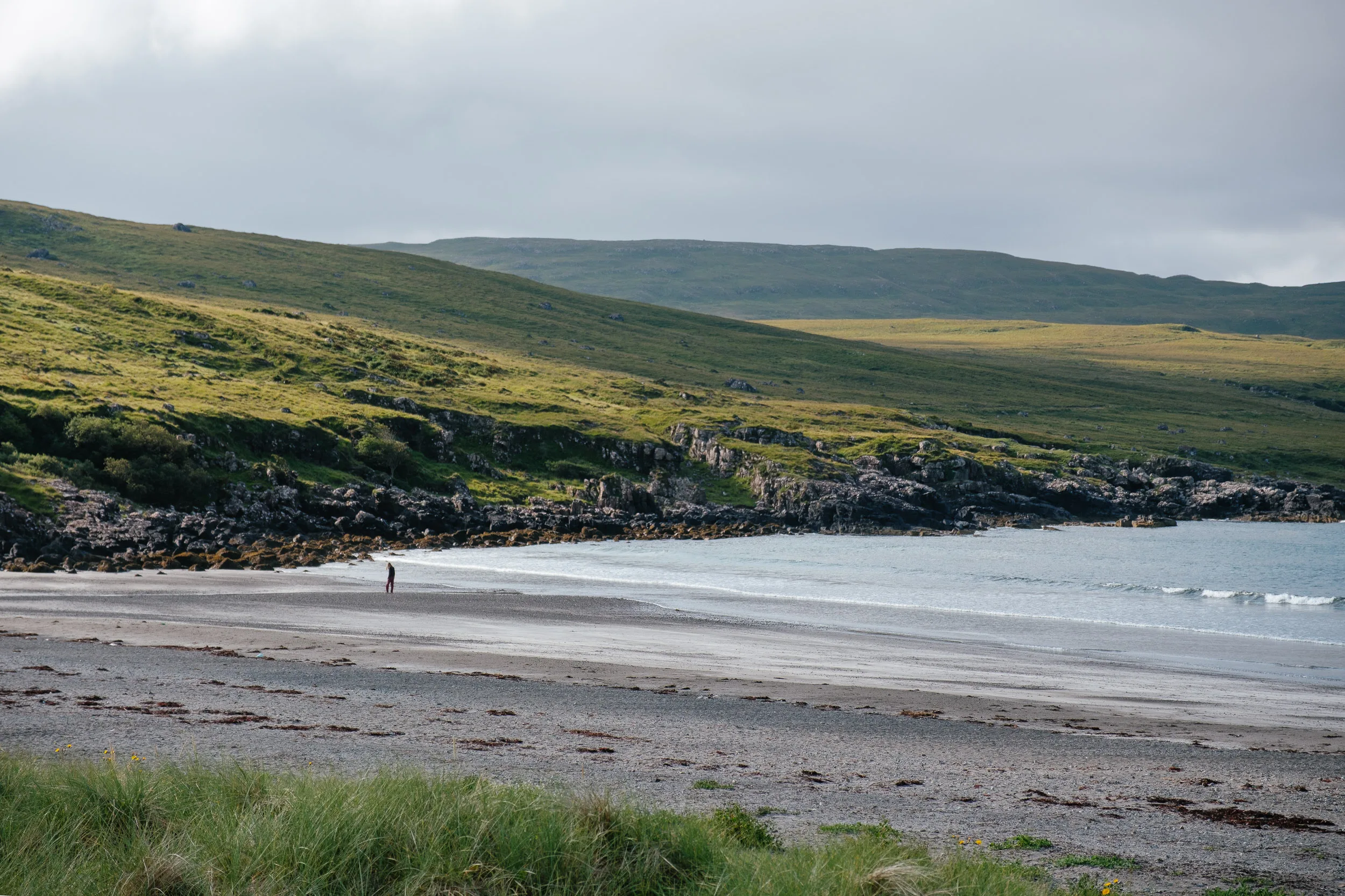
We reached a stretch of coast with beautiful white and silver sand beaches and turquoise water, looking out to the Small Isles. It could have been a tropical island, were it not for the cold Scottish weather. This is the Silver Sands of Morar, and if it feels cinematic that’s because it is: the beach scenes for Local Hero were shot along this coast, as were parts of Highlander.
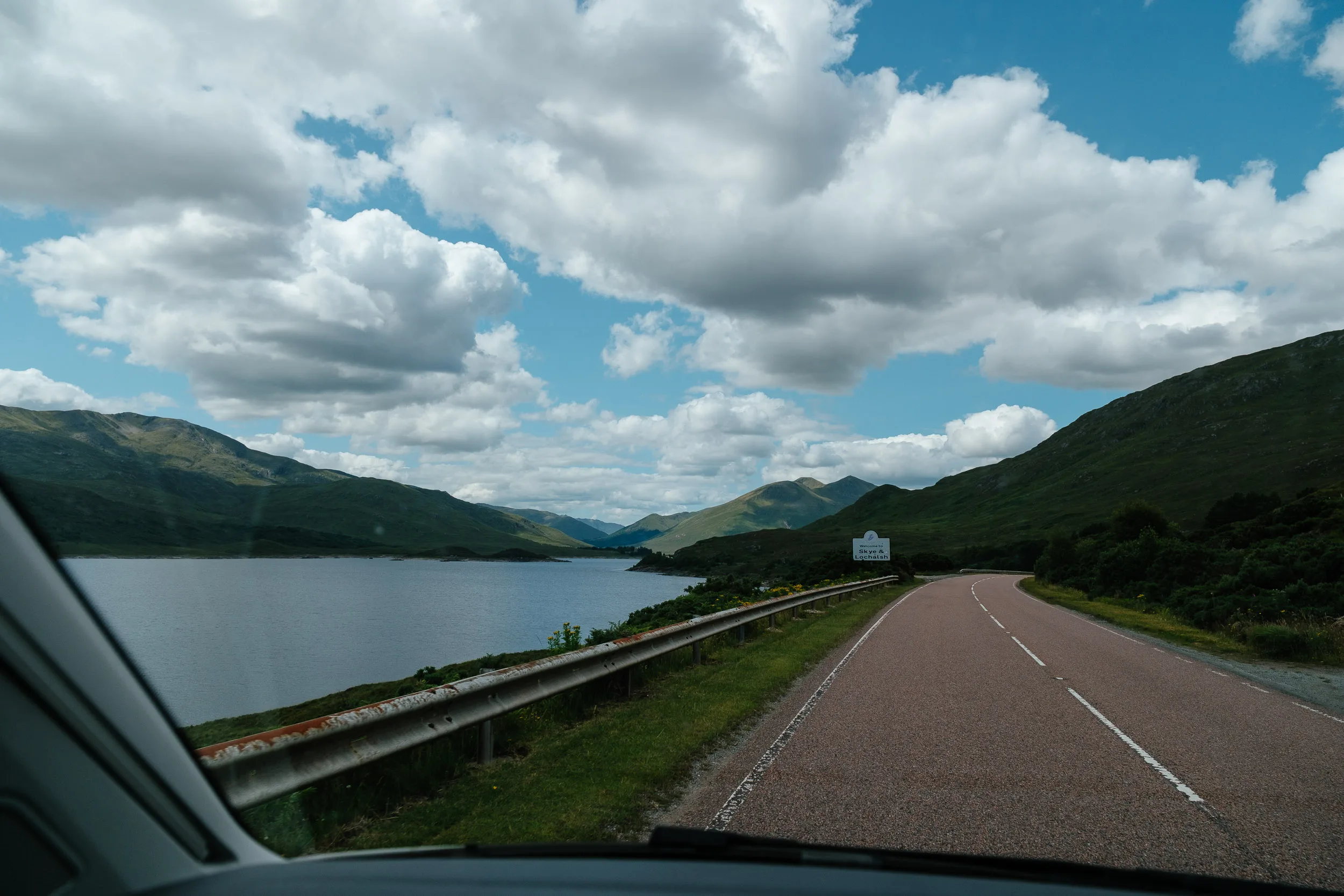
We camped here for the night and took a stroll along the beach. The next morning we tried to catch a ferry to the Isle of Skye from Mallaig, but it was full. Thankfully there is also a bridge to the island, so we would just have to drive a bit more.
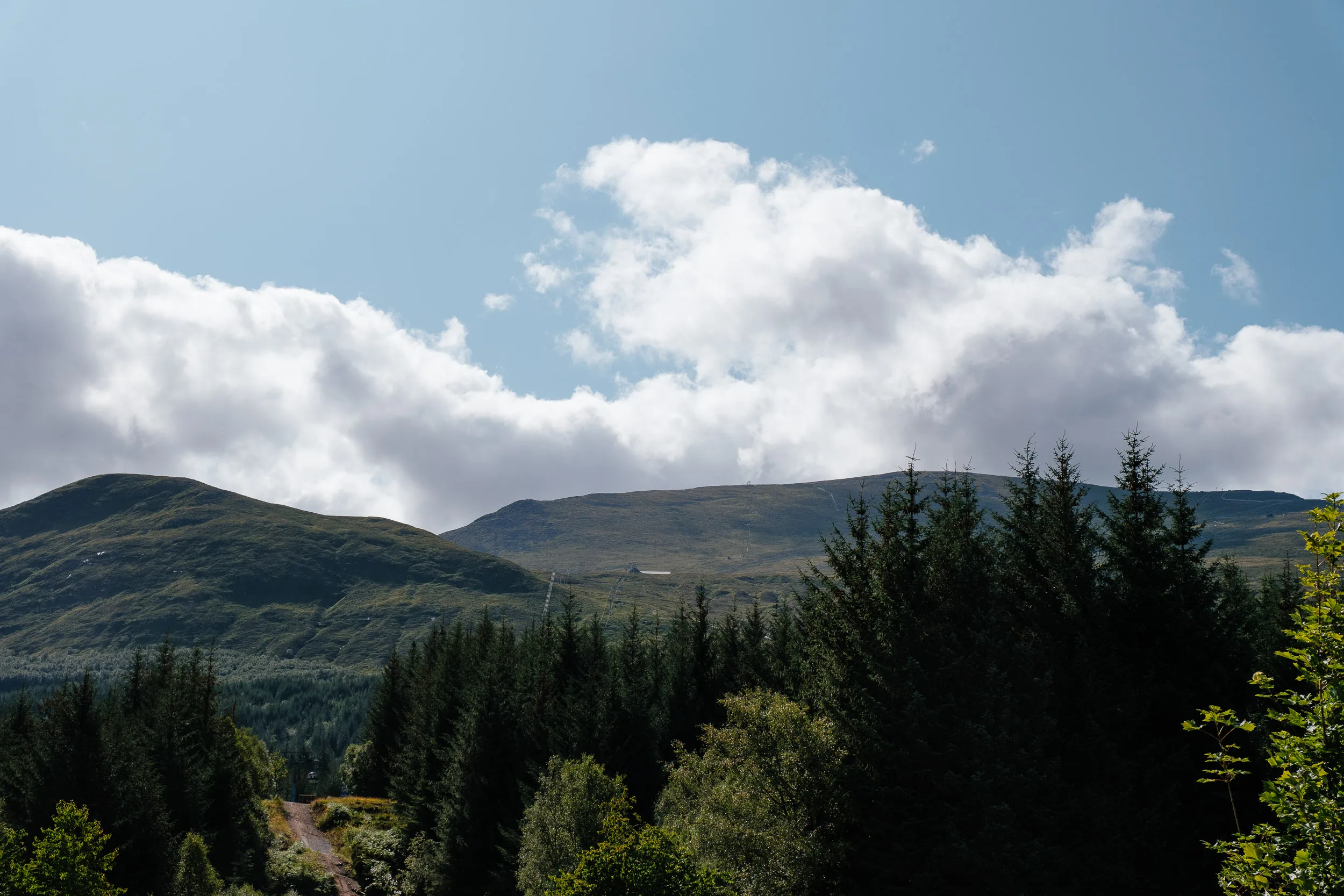
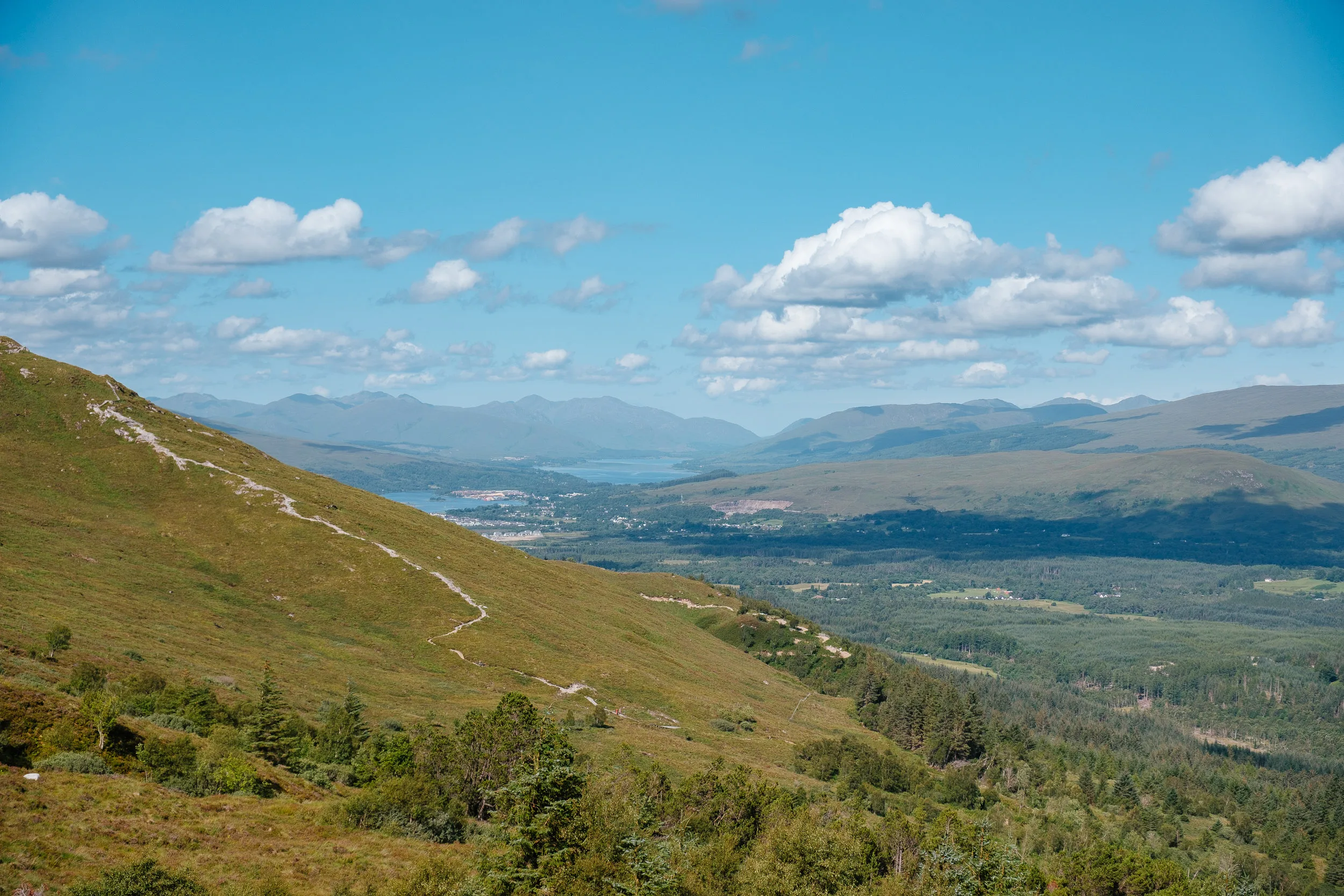
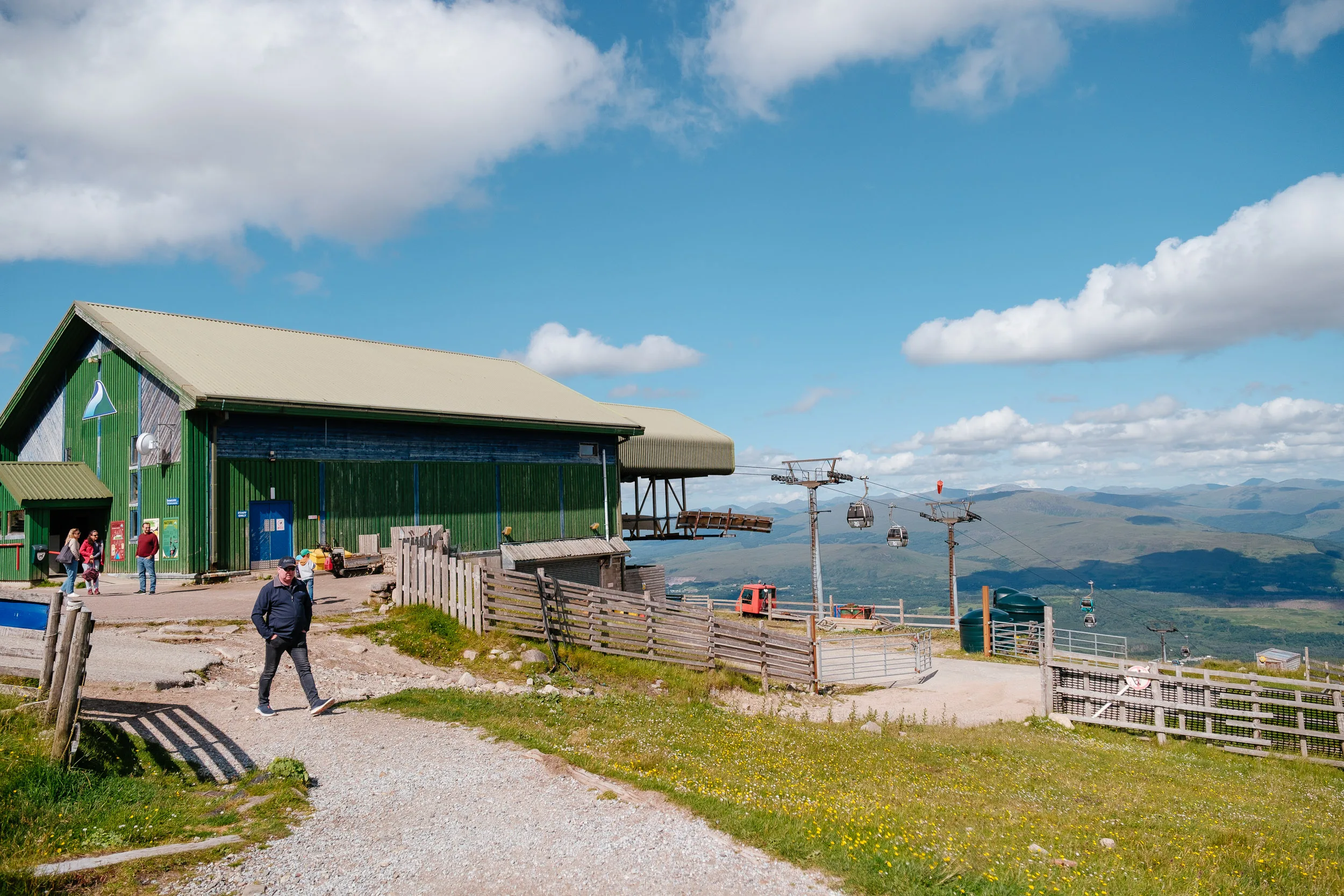
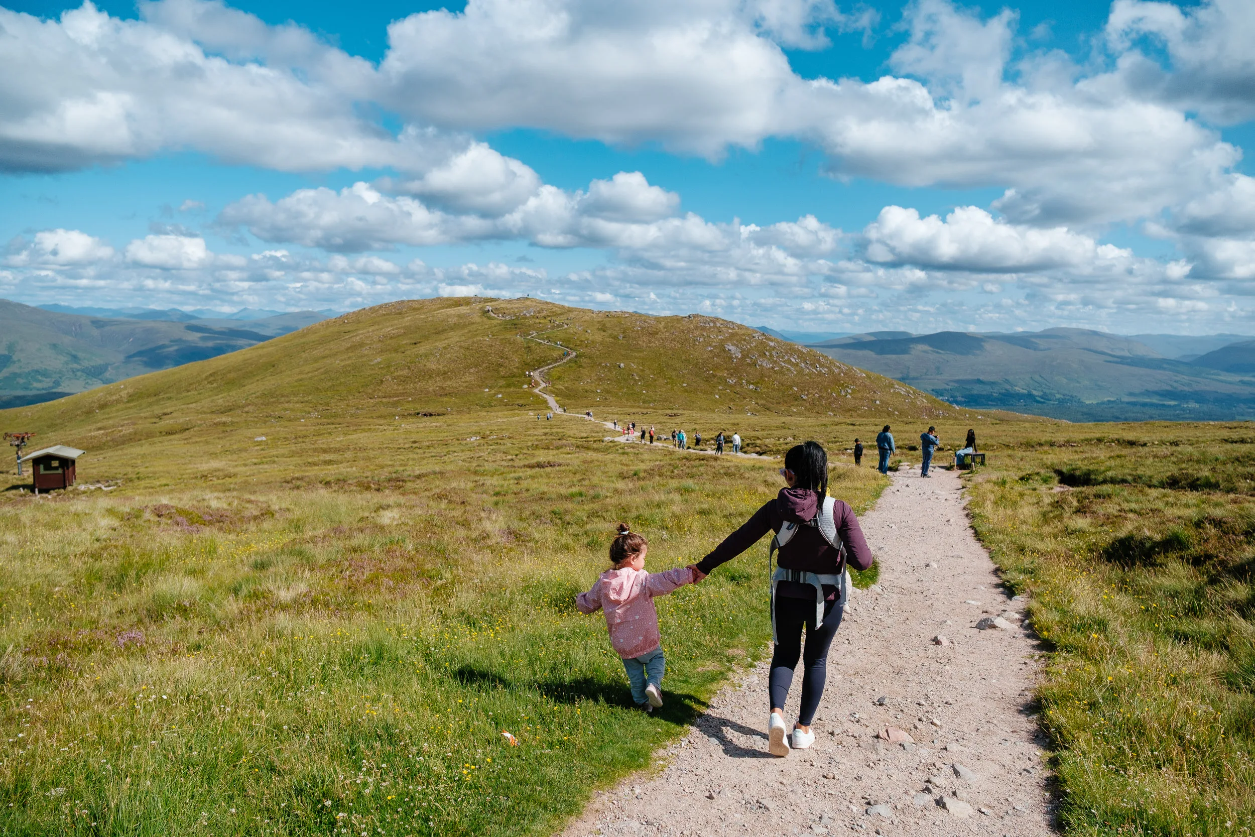
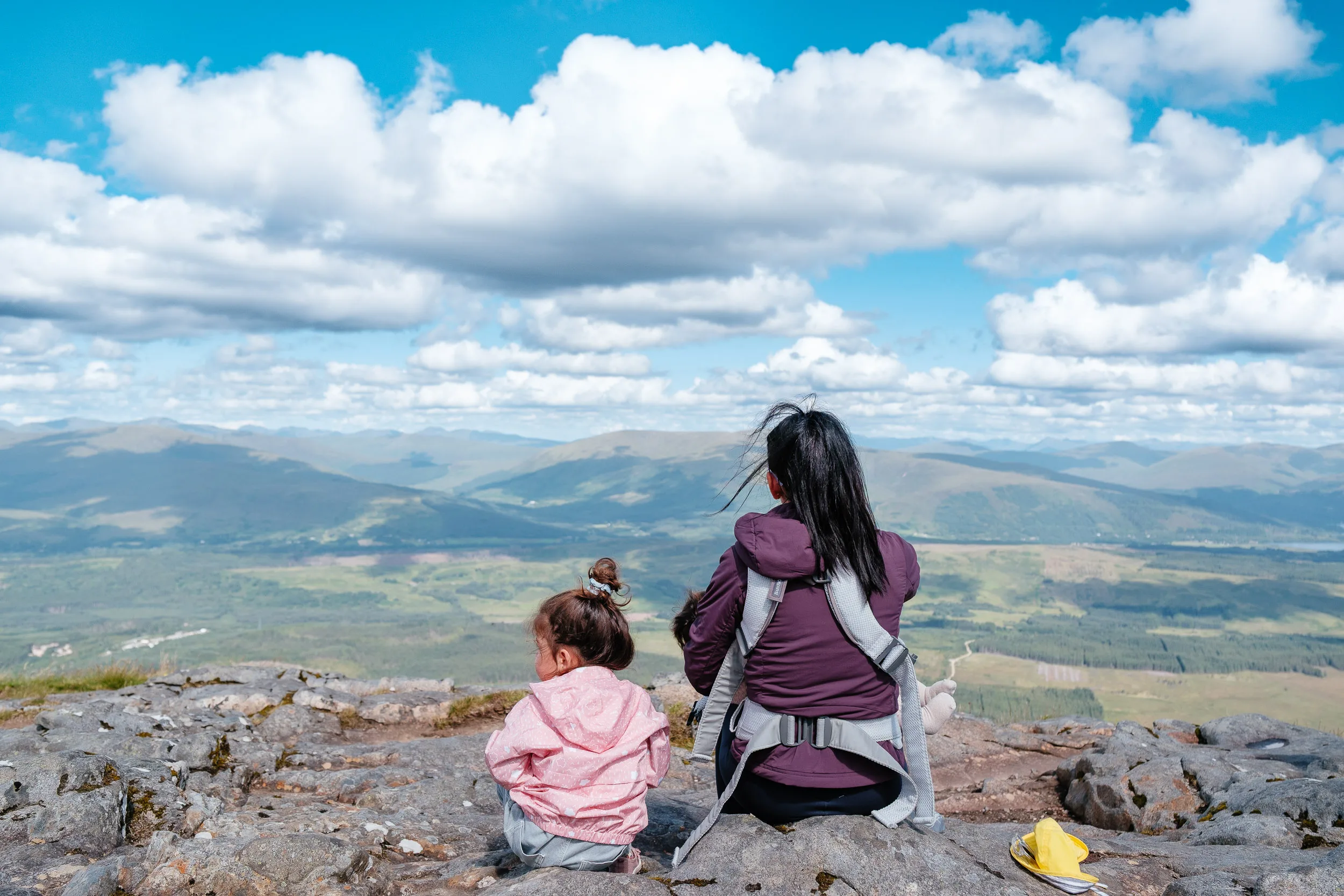
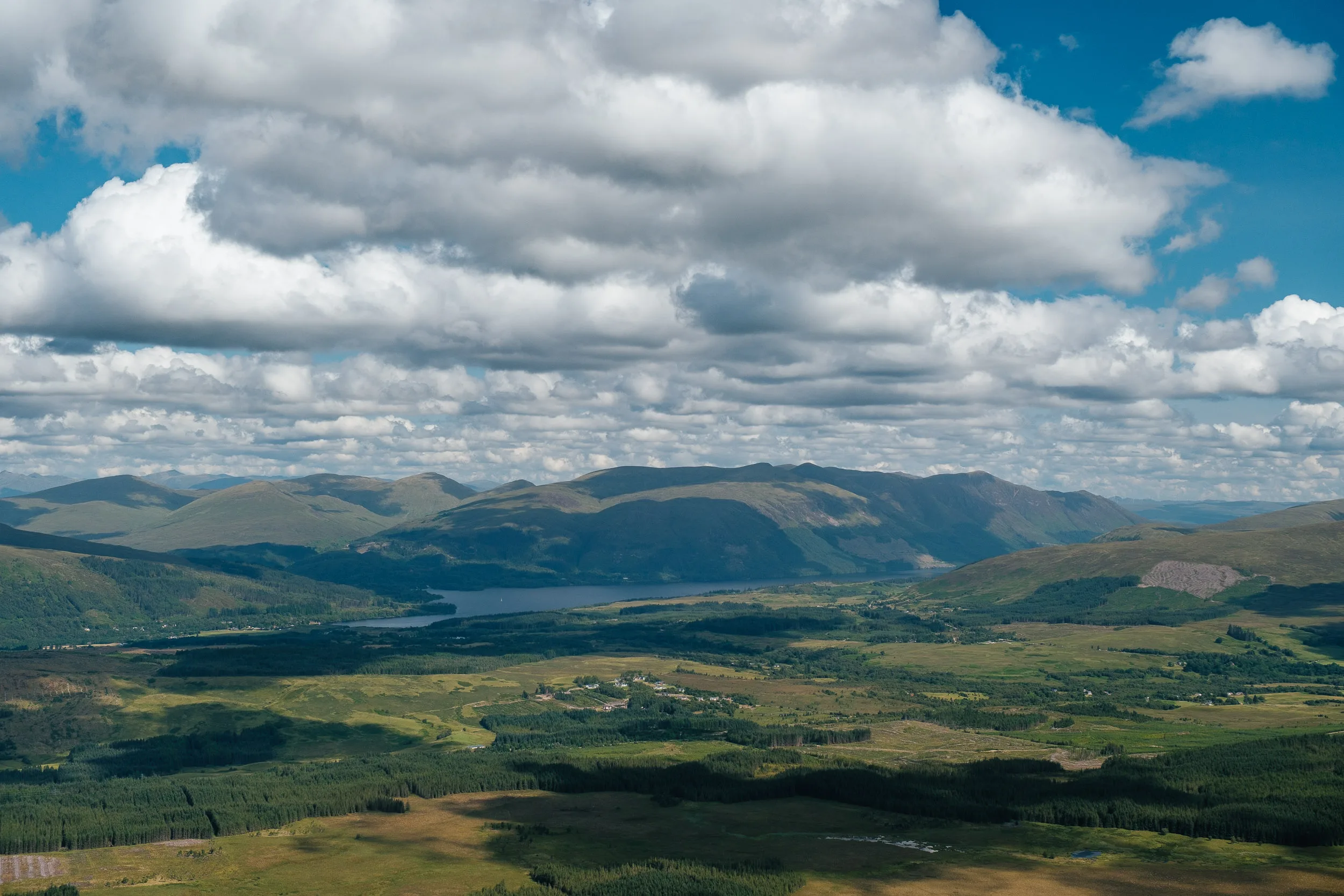
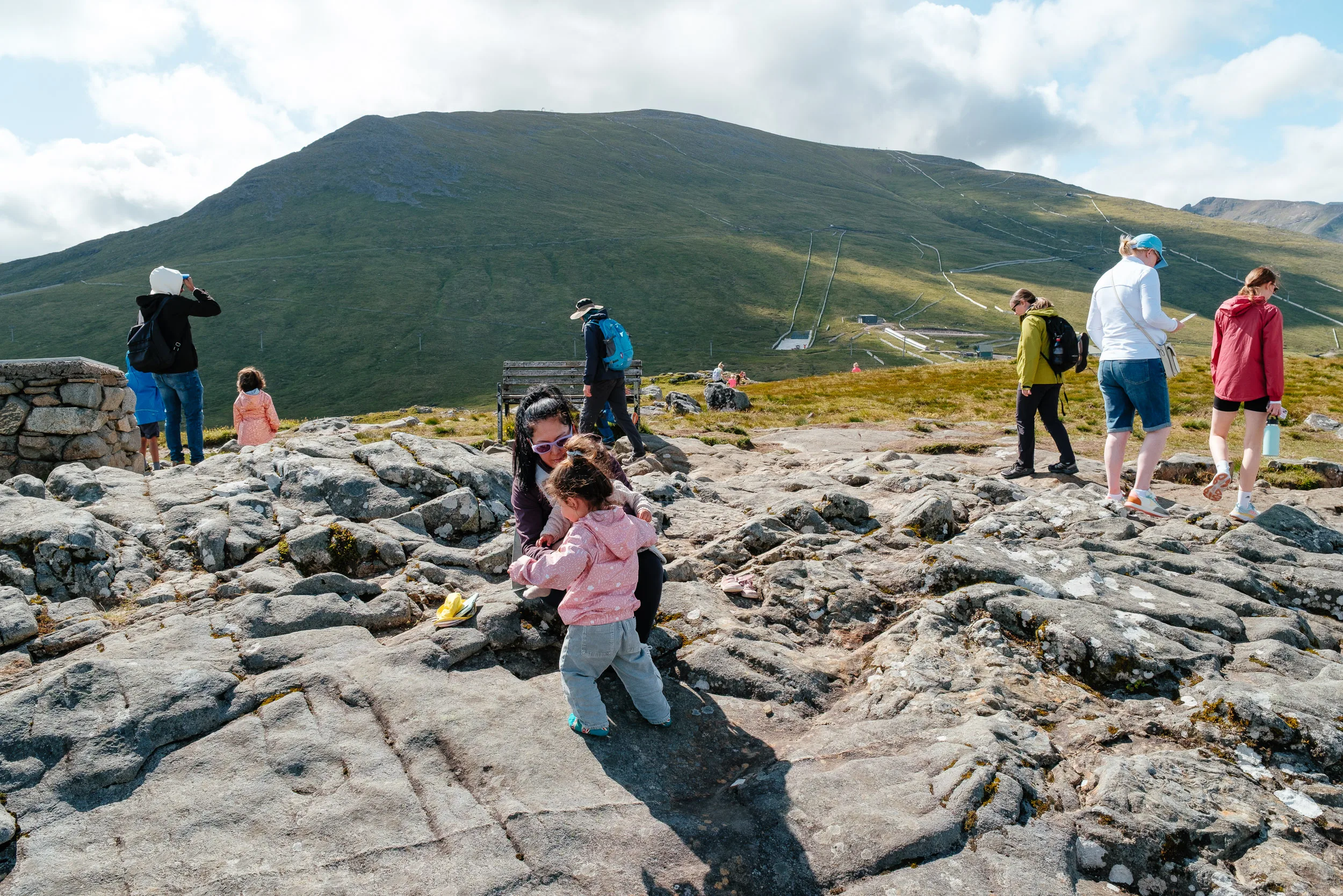
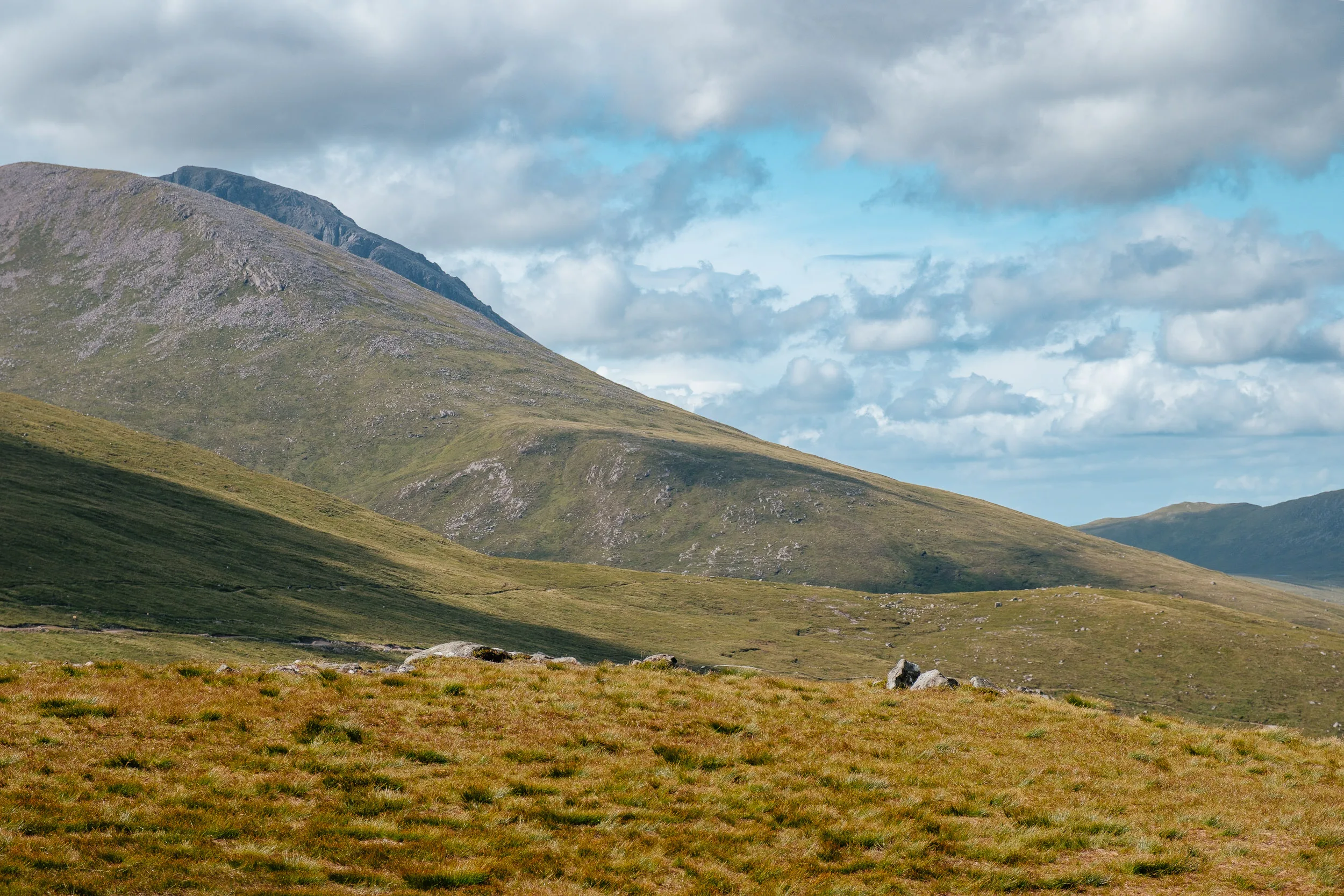
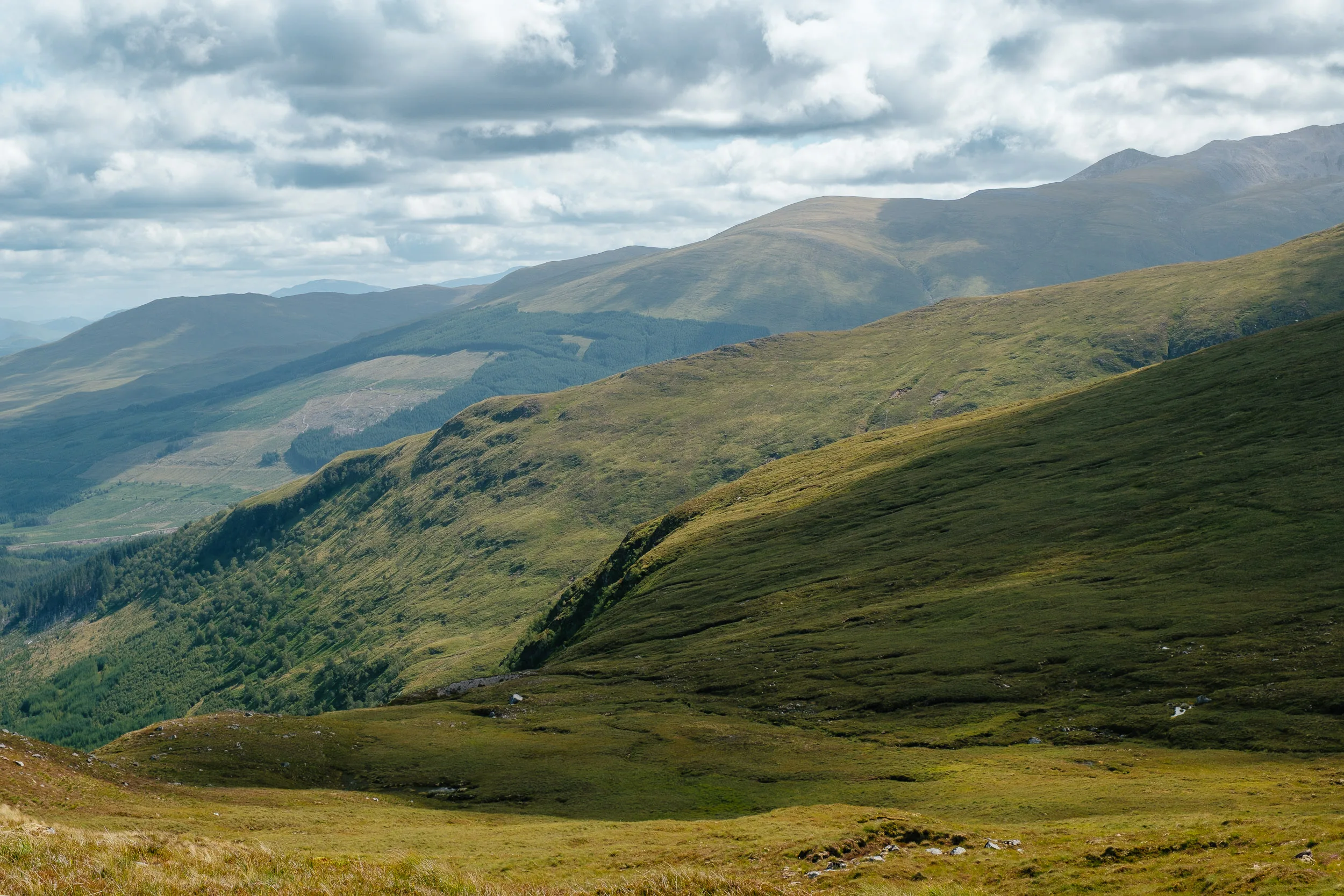
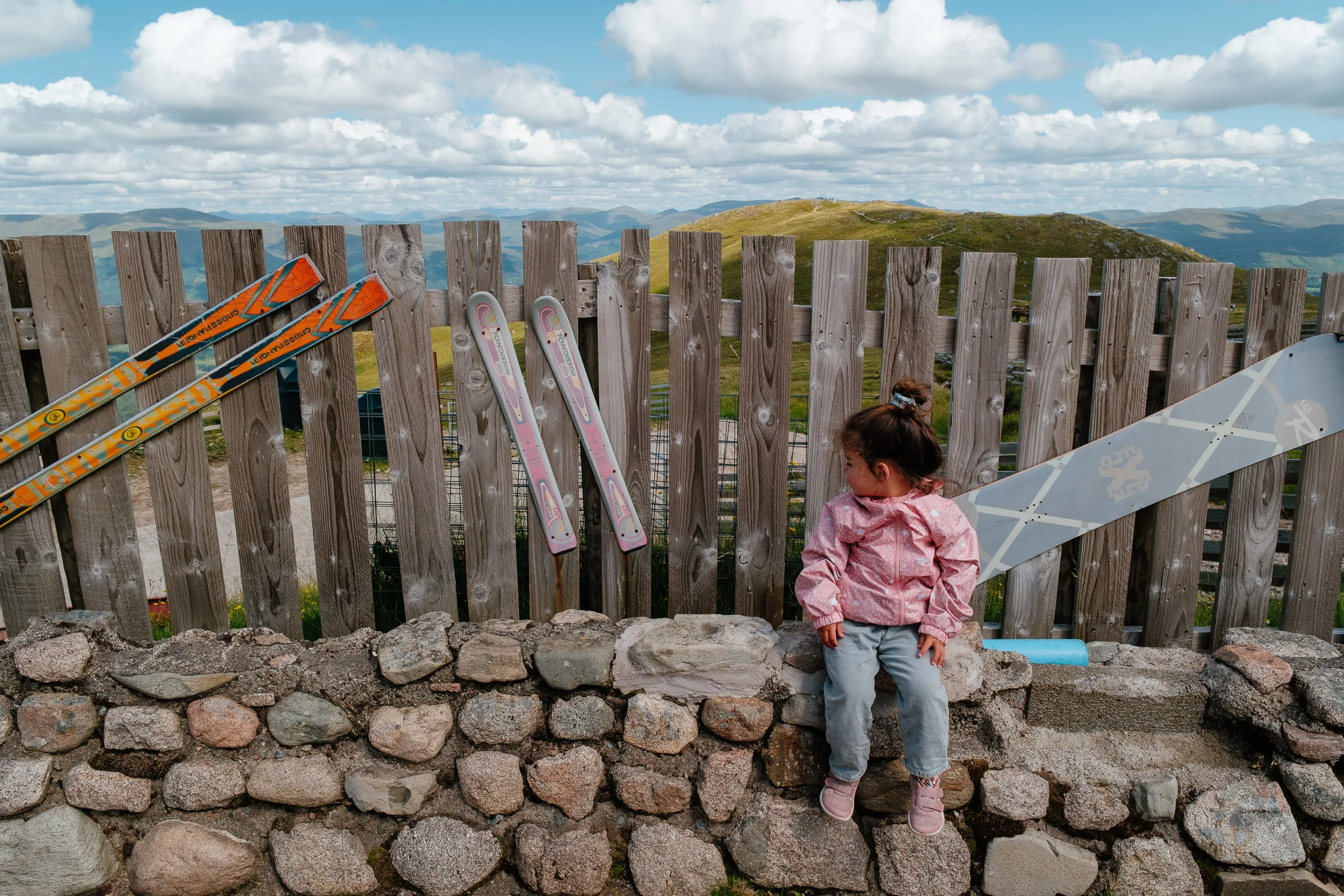
So we carried on, and on the way to Skye we stopped at Nevis Range, on Aonach Mòr next to Ben Nevis, where you can ride a gondola used by skiers in winter for beautiful views over the Highlands.
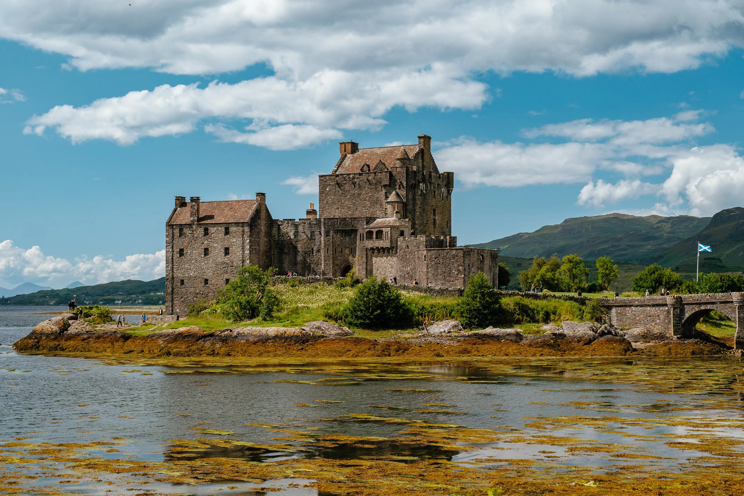
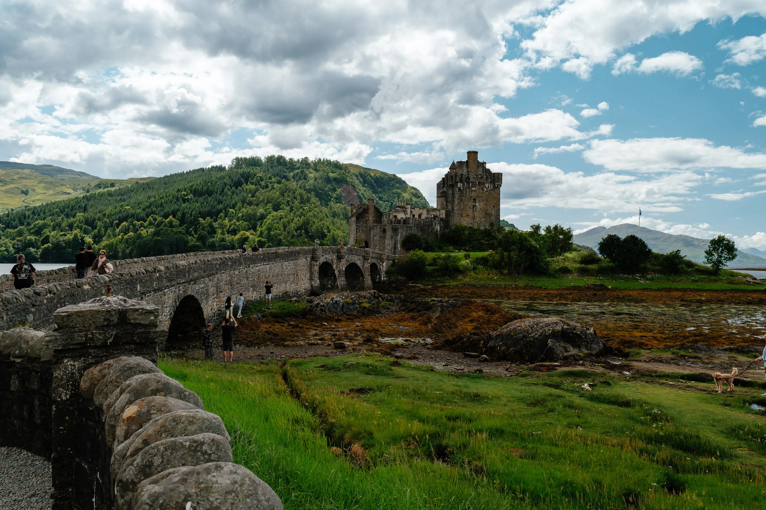
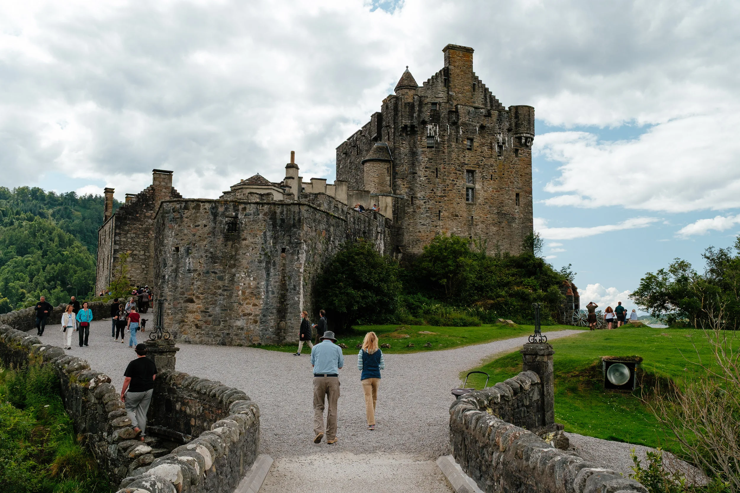
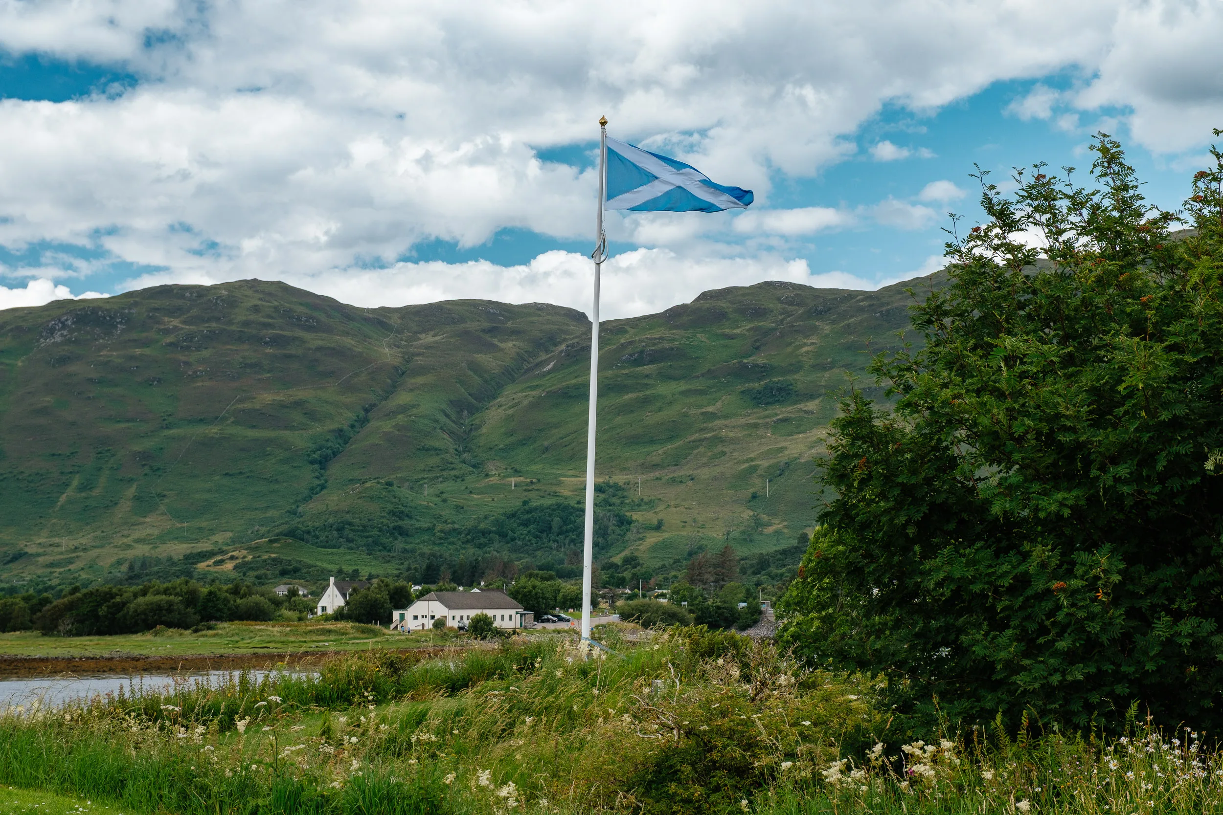
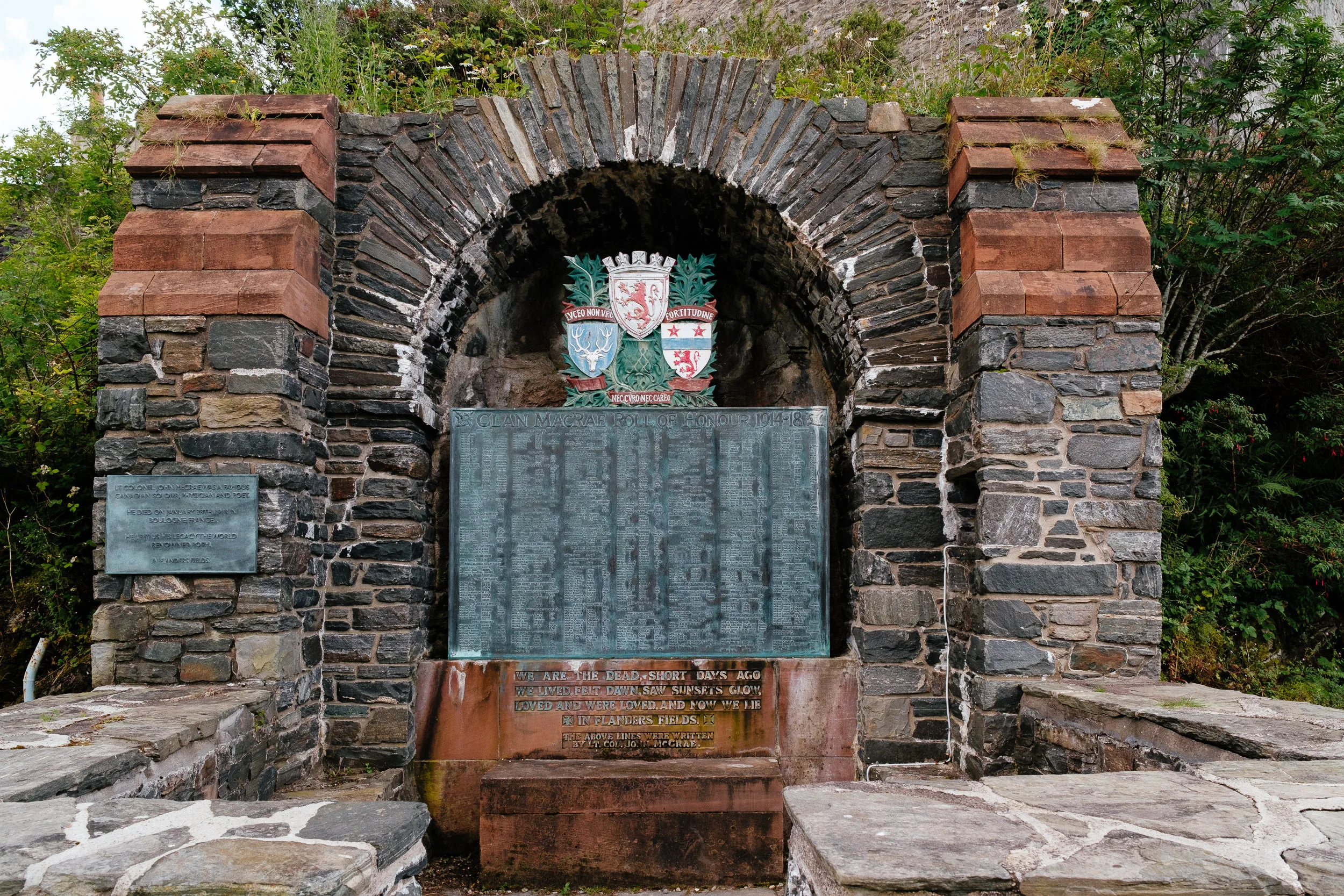
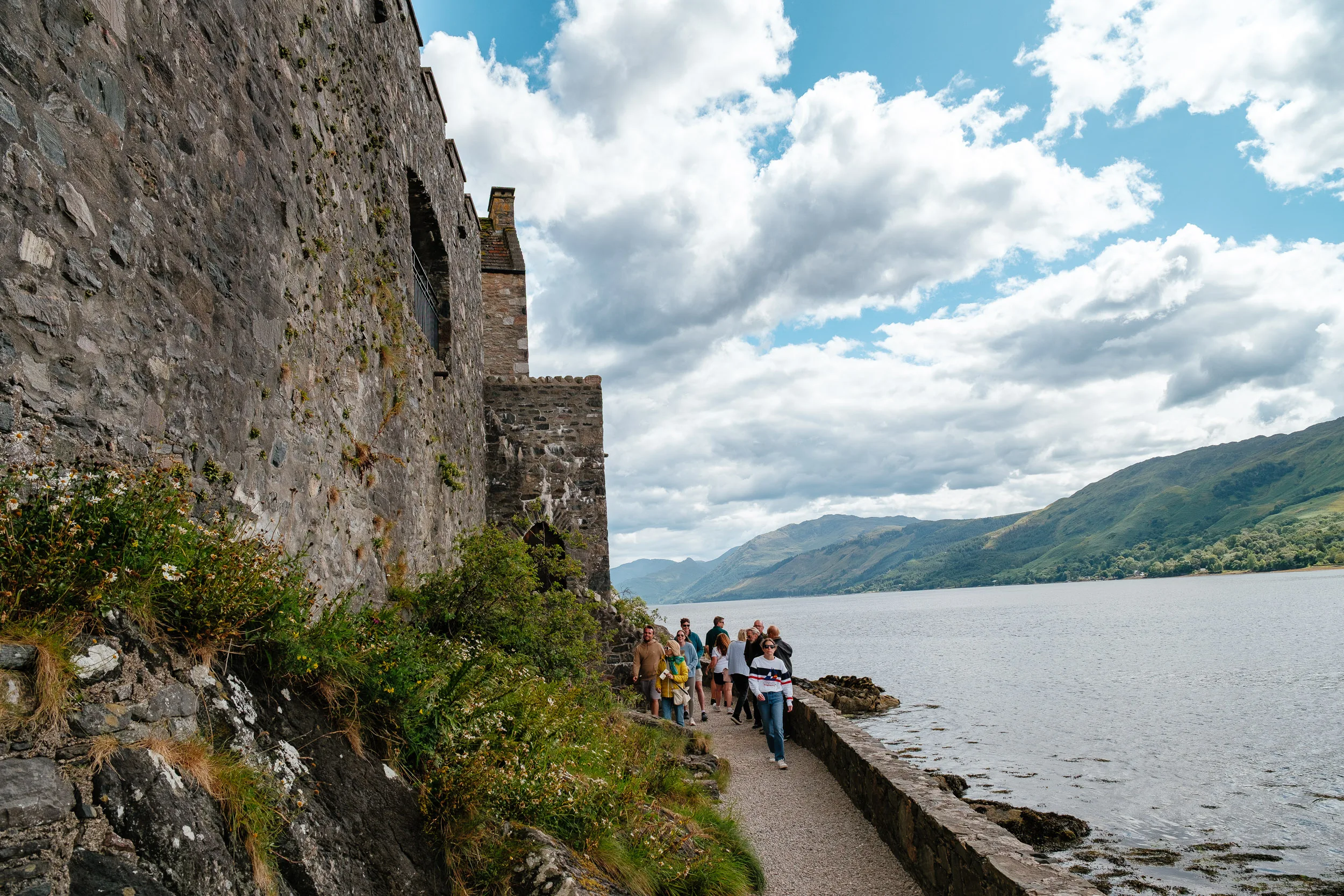
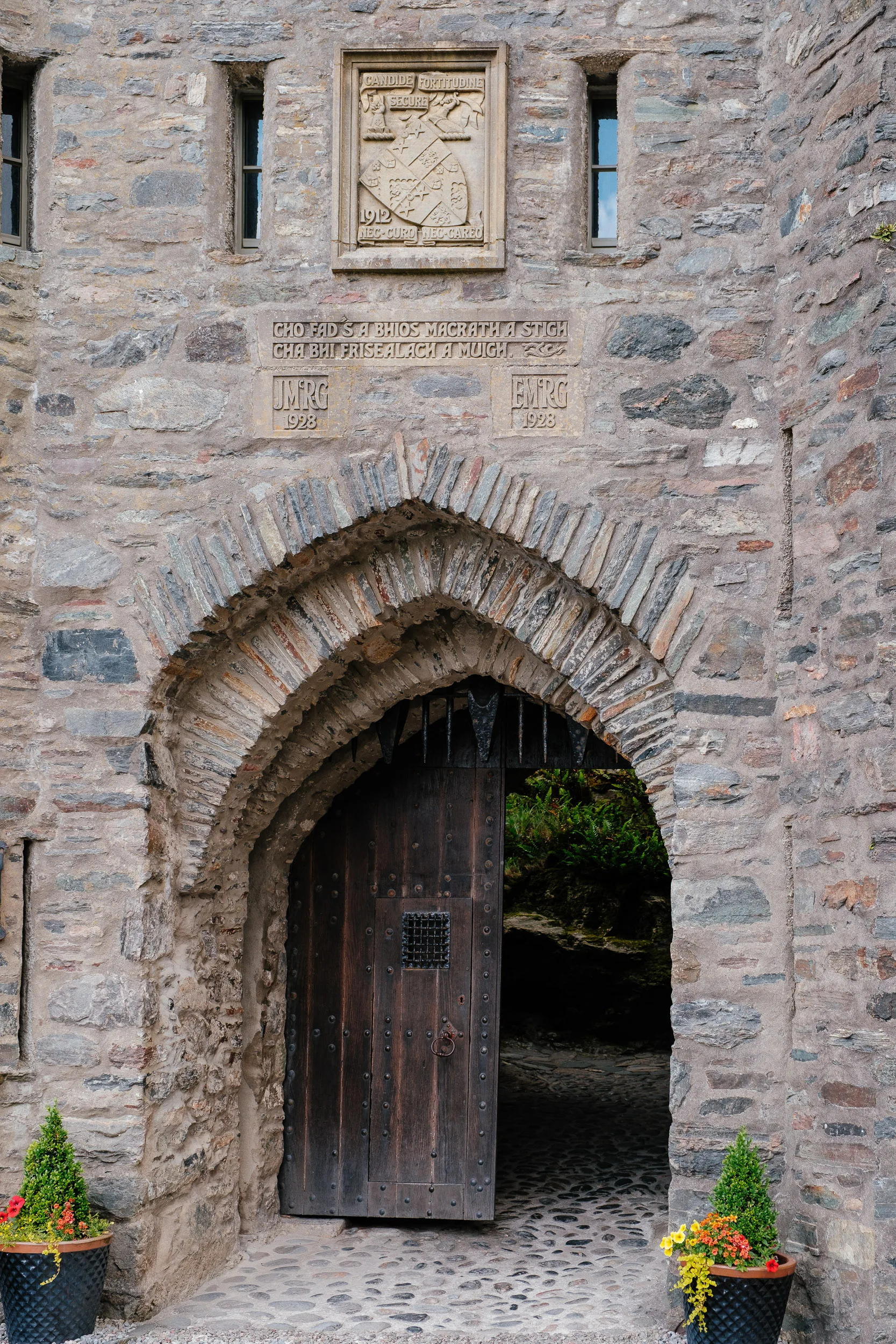
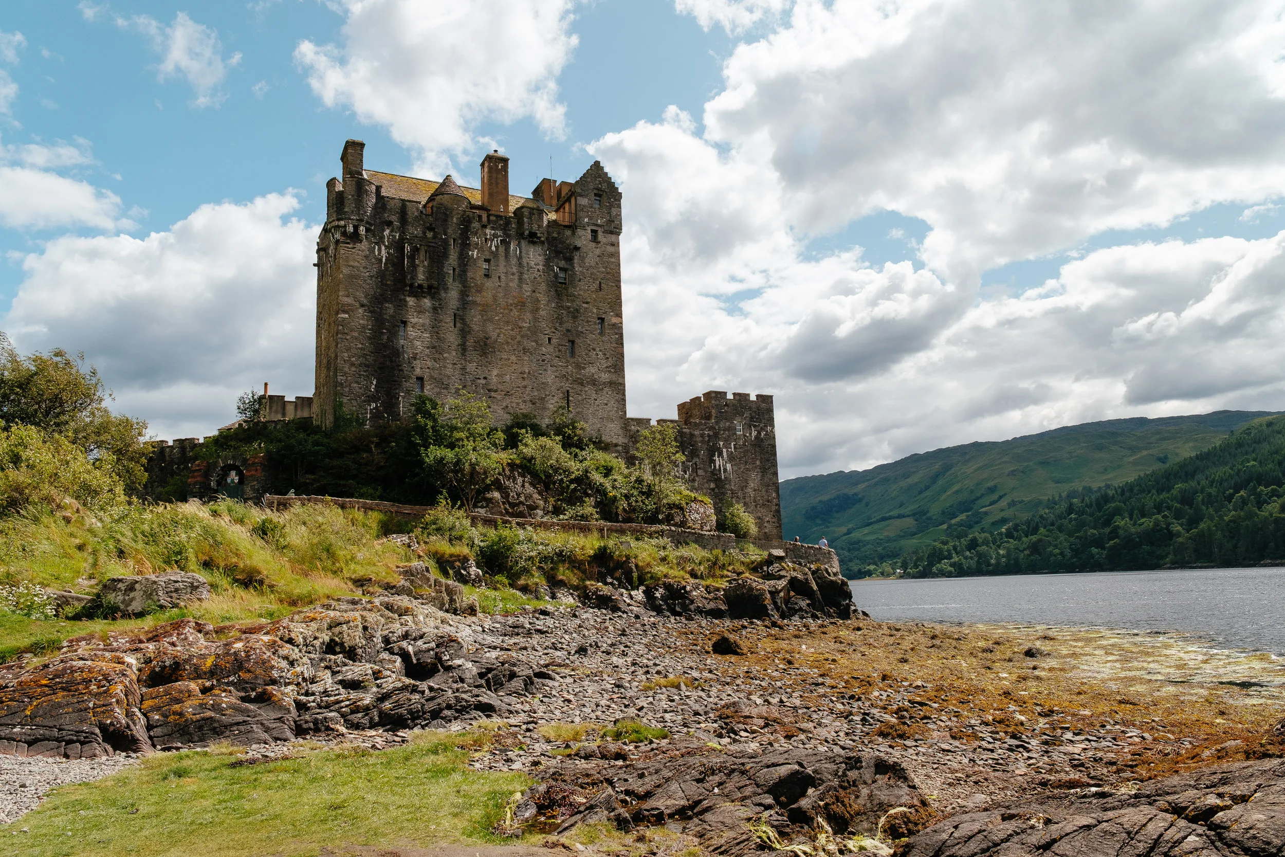
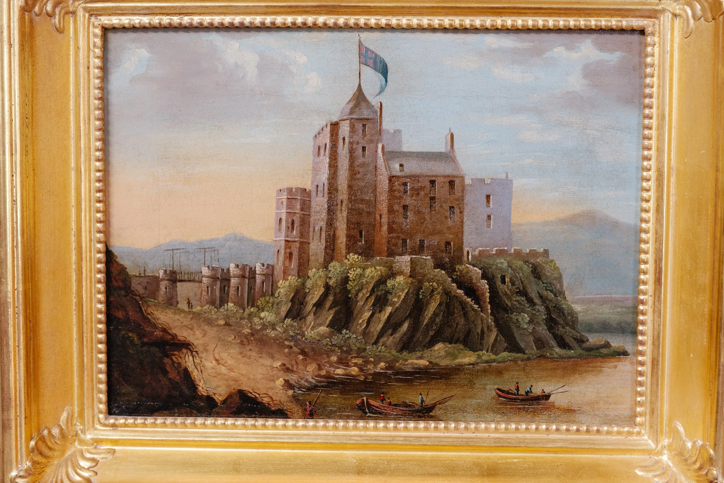
We also stopped at Eilean Donan Castle, which sits where three sea lochs meet (Loch Duich, Loch Long and Loch Alsh). The castle dates from the 13th century and was a stronghold of Clan Mackenzie and their allies, Clan MacRae. In 1719 the castle was occupied by Spanish soldiers, part of a force of 300 landed on the west coast to support a Jacobite rising; government frigates bombarded it into ruins, and when a naval captain went ashore to destroy the powder magazine, the explosion took out most of what was left. It lay in ruins for the best part of 200 years until Lieutenant Colonel John MacRae-Gilstrap bought the island in 1911 and restored it; the work took 20 years, and the castle and its arched bridge. It is now Scotland’s most photographed castle.
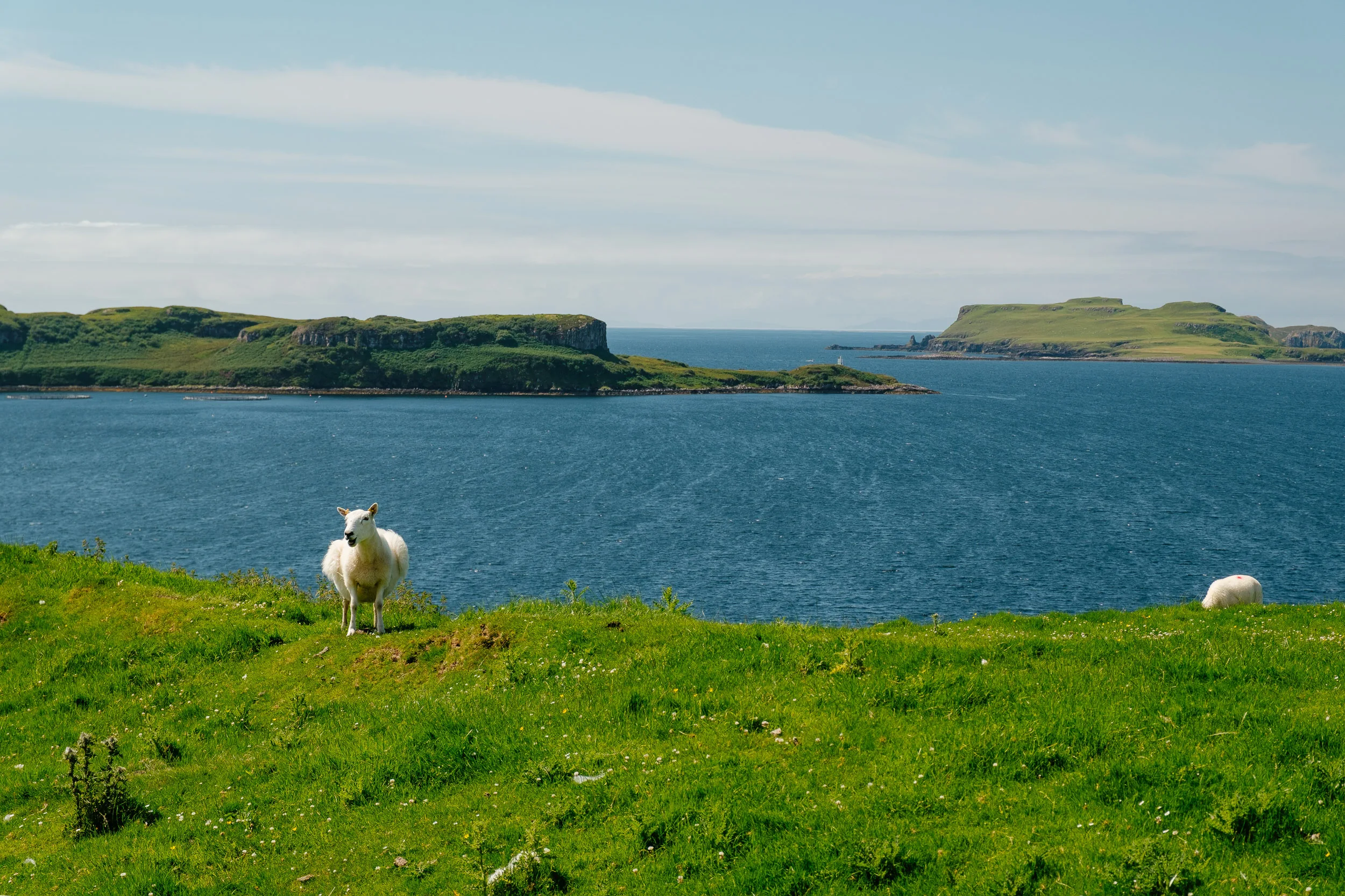
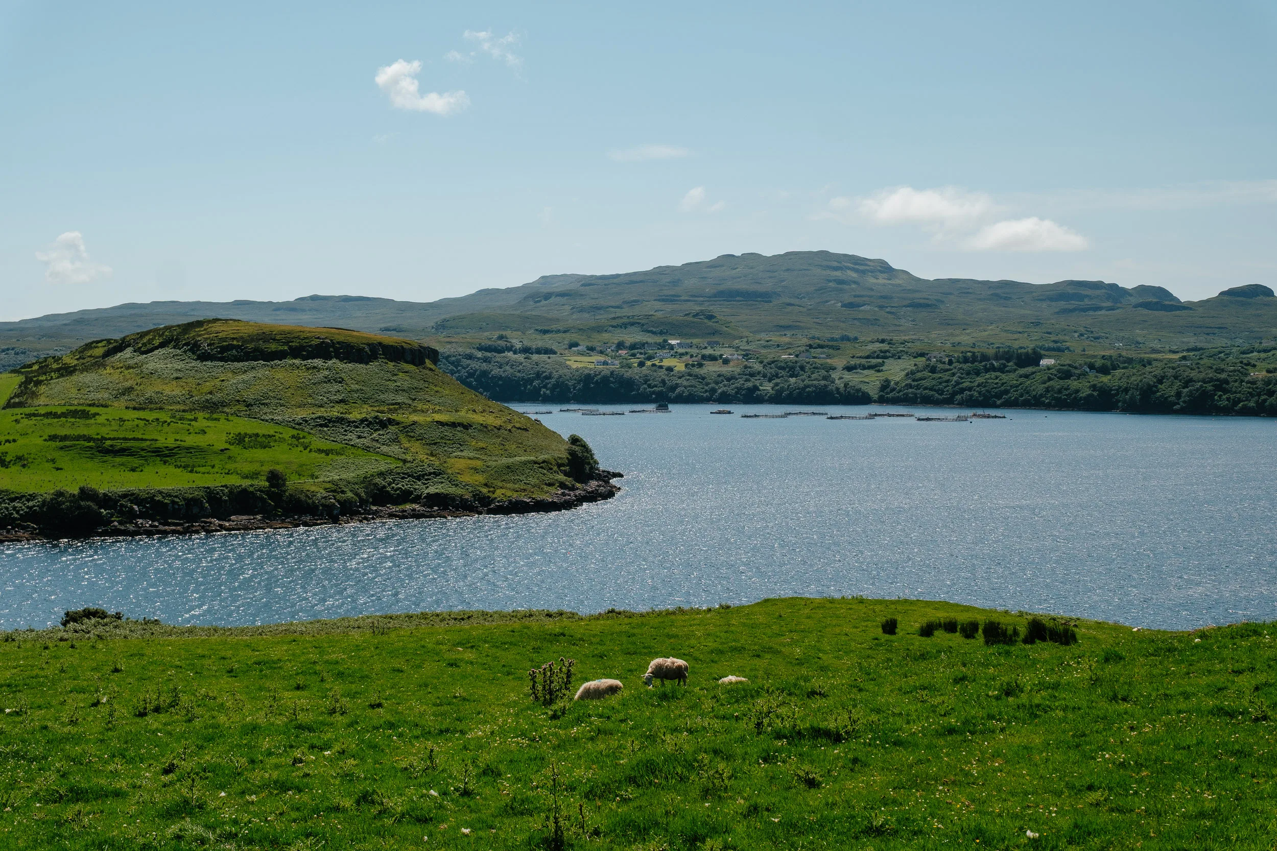
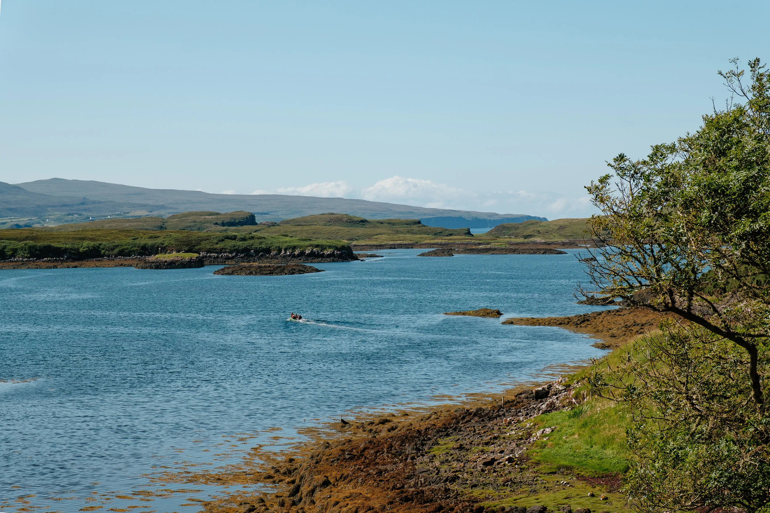
Isle of Skye
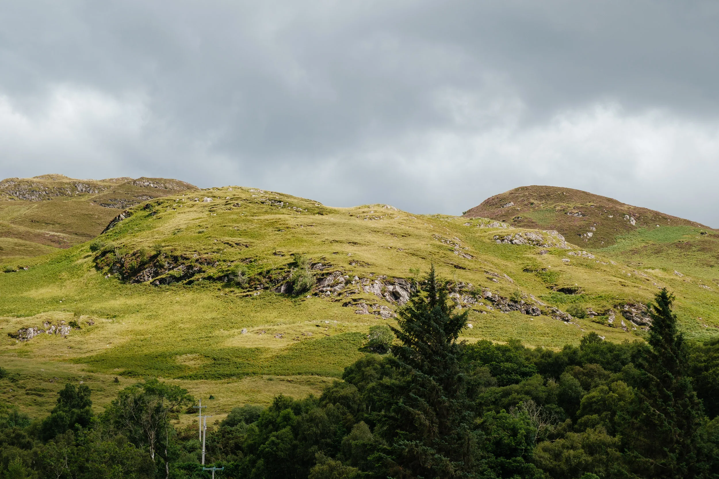
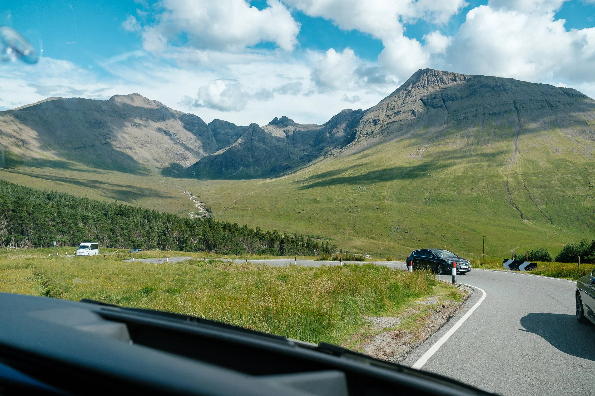
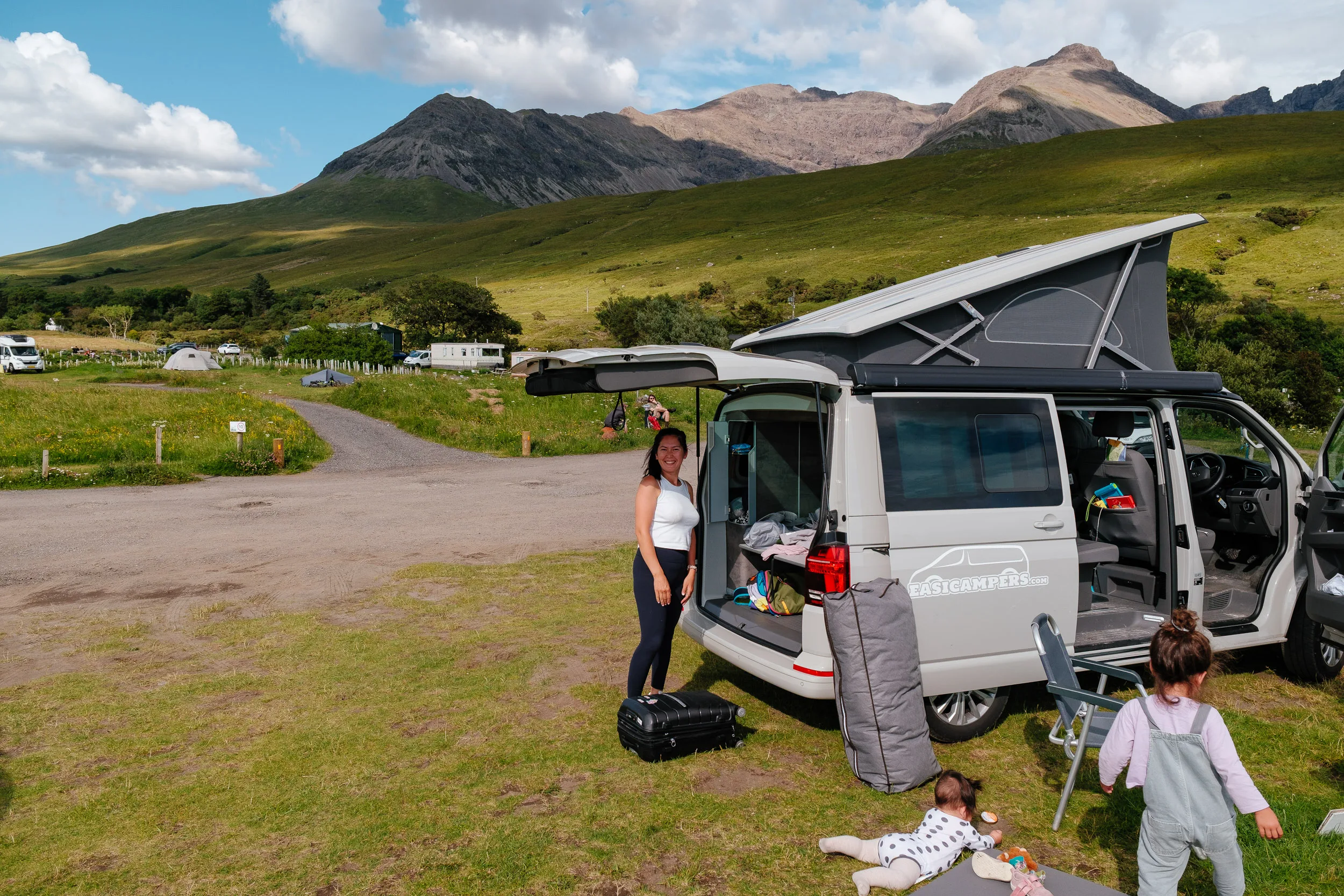
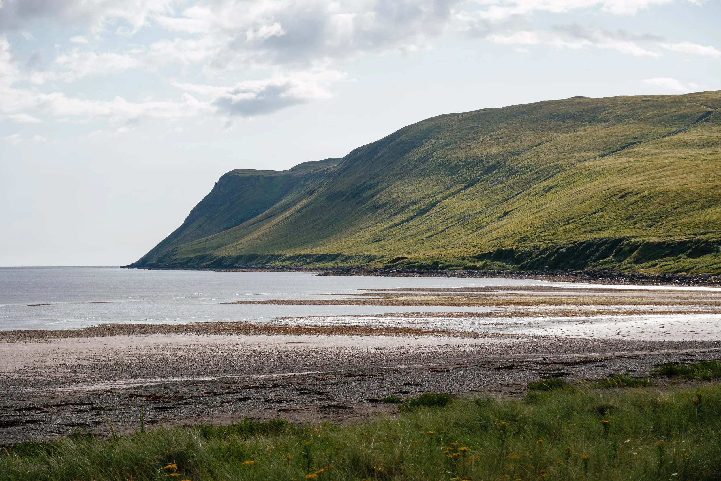
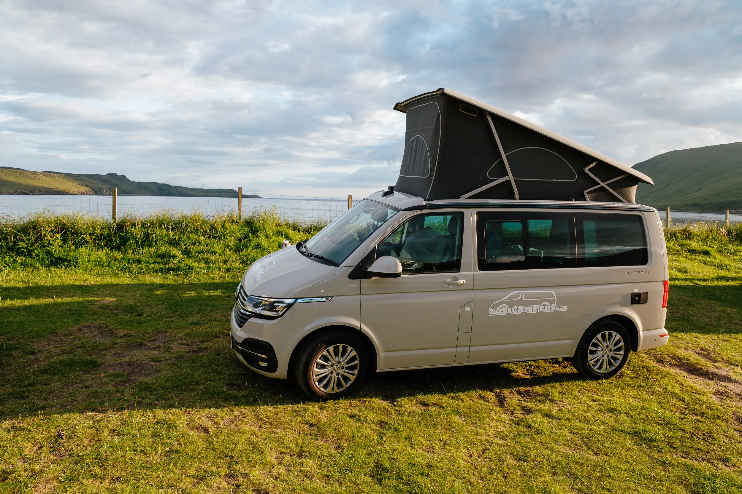
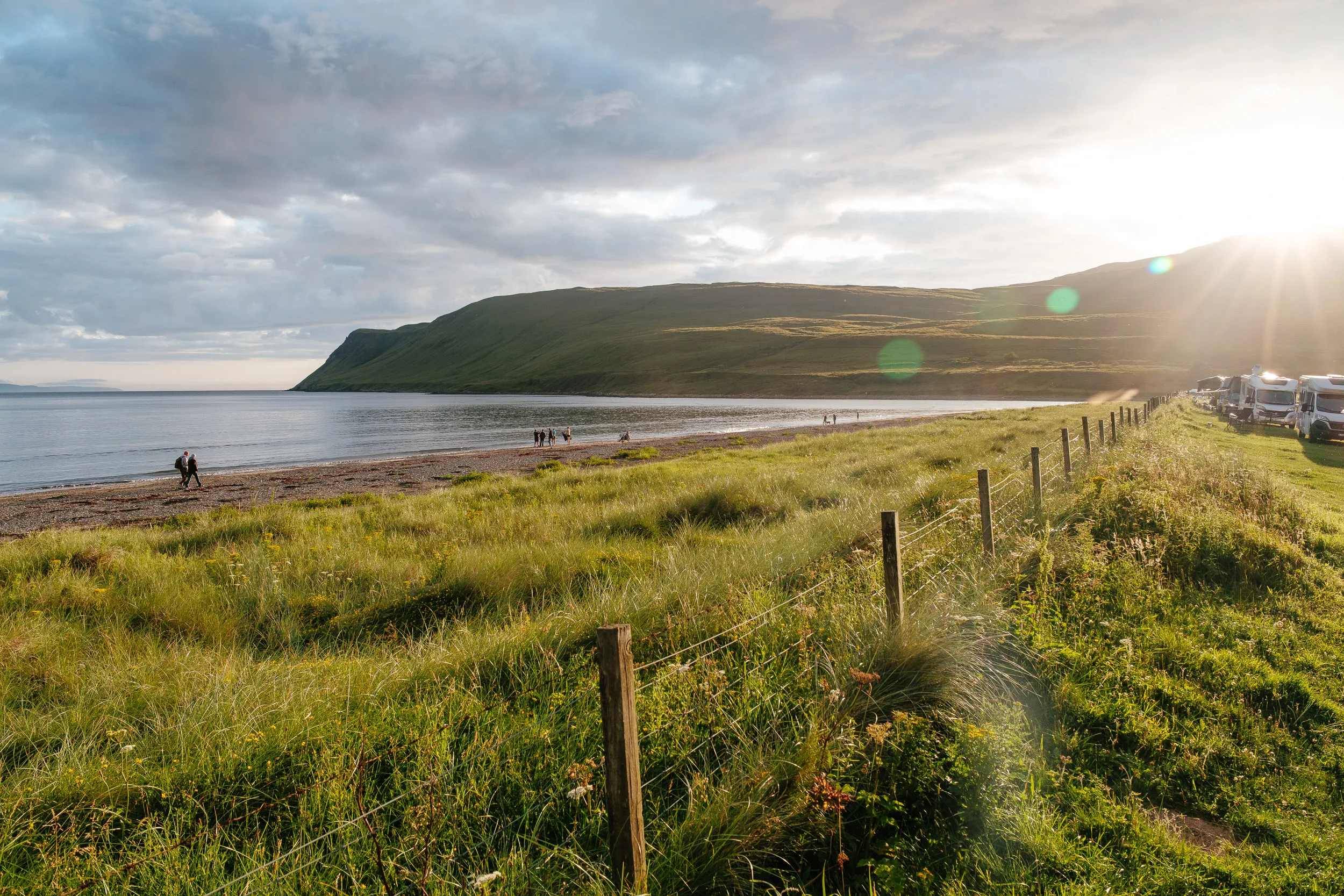
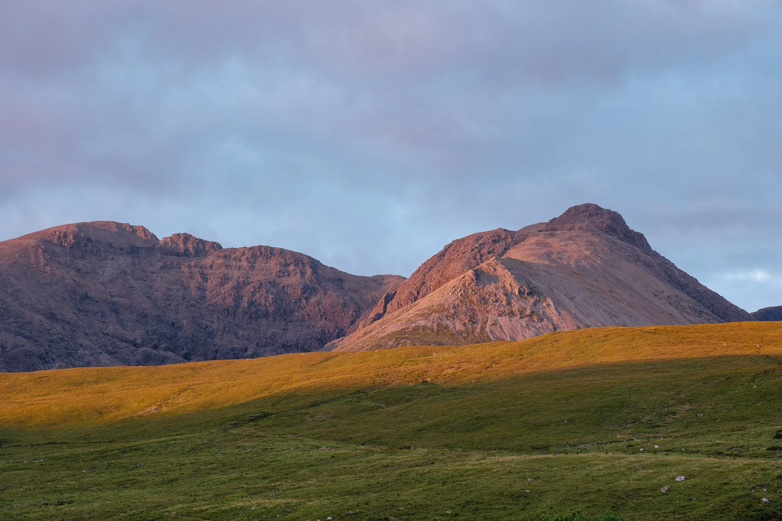
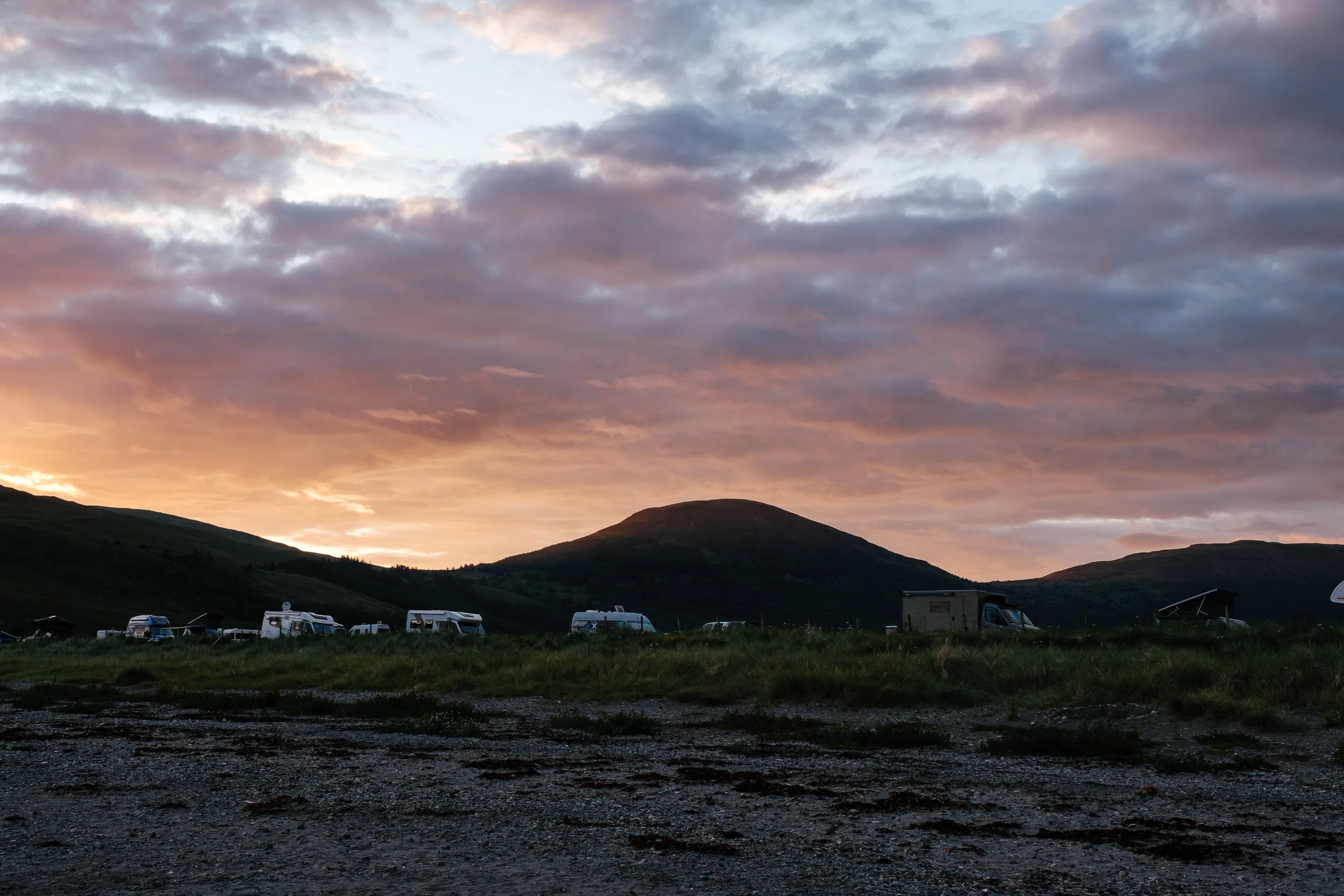
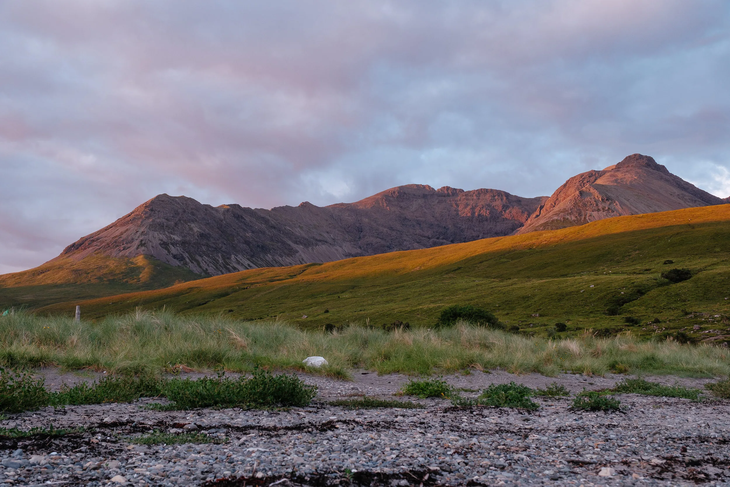
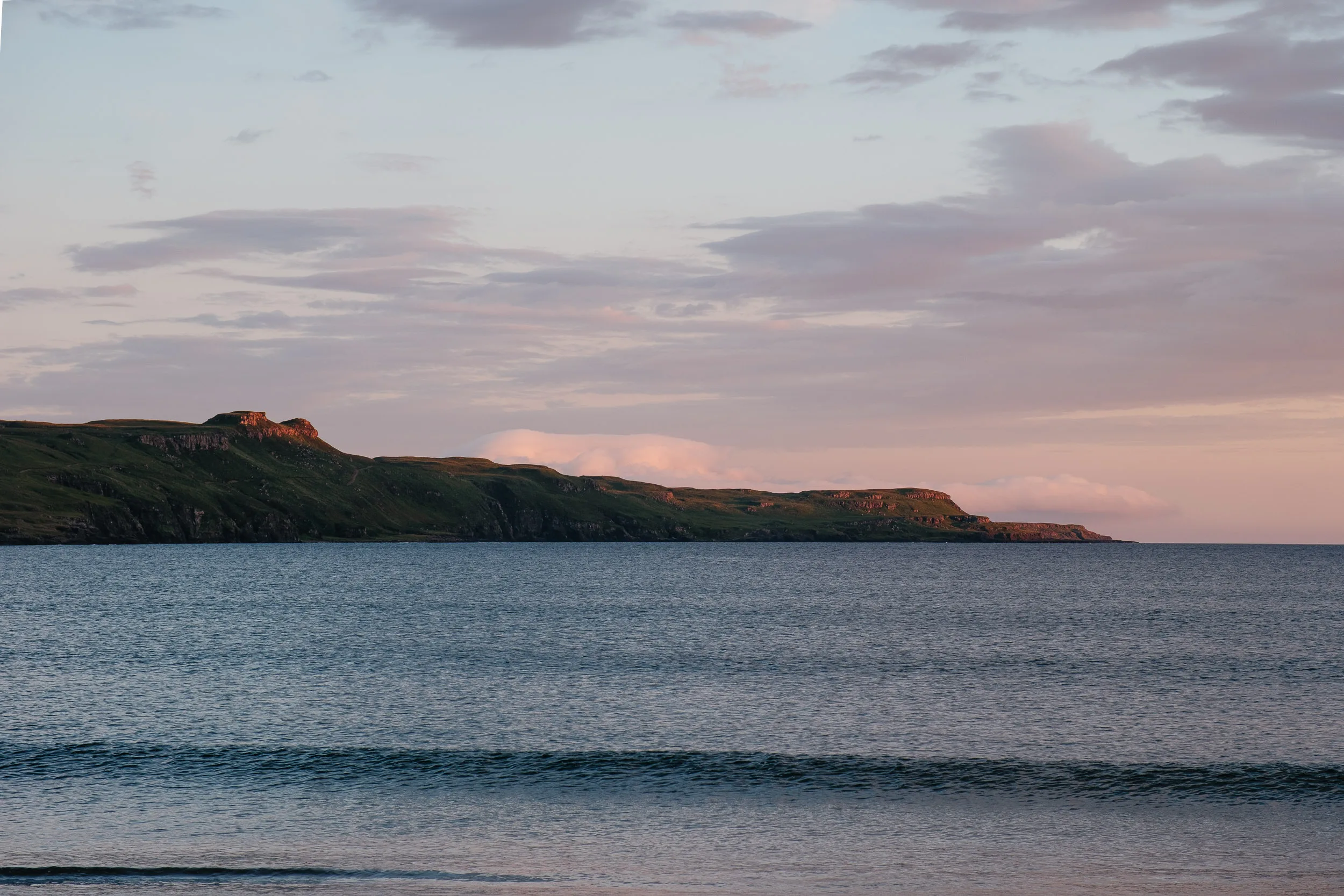
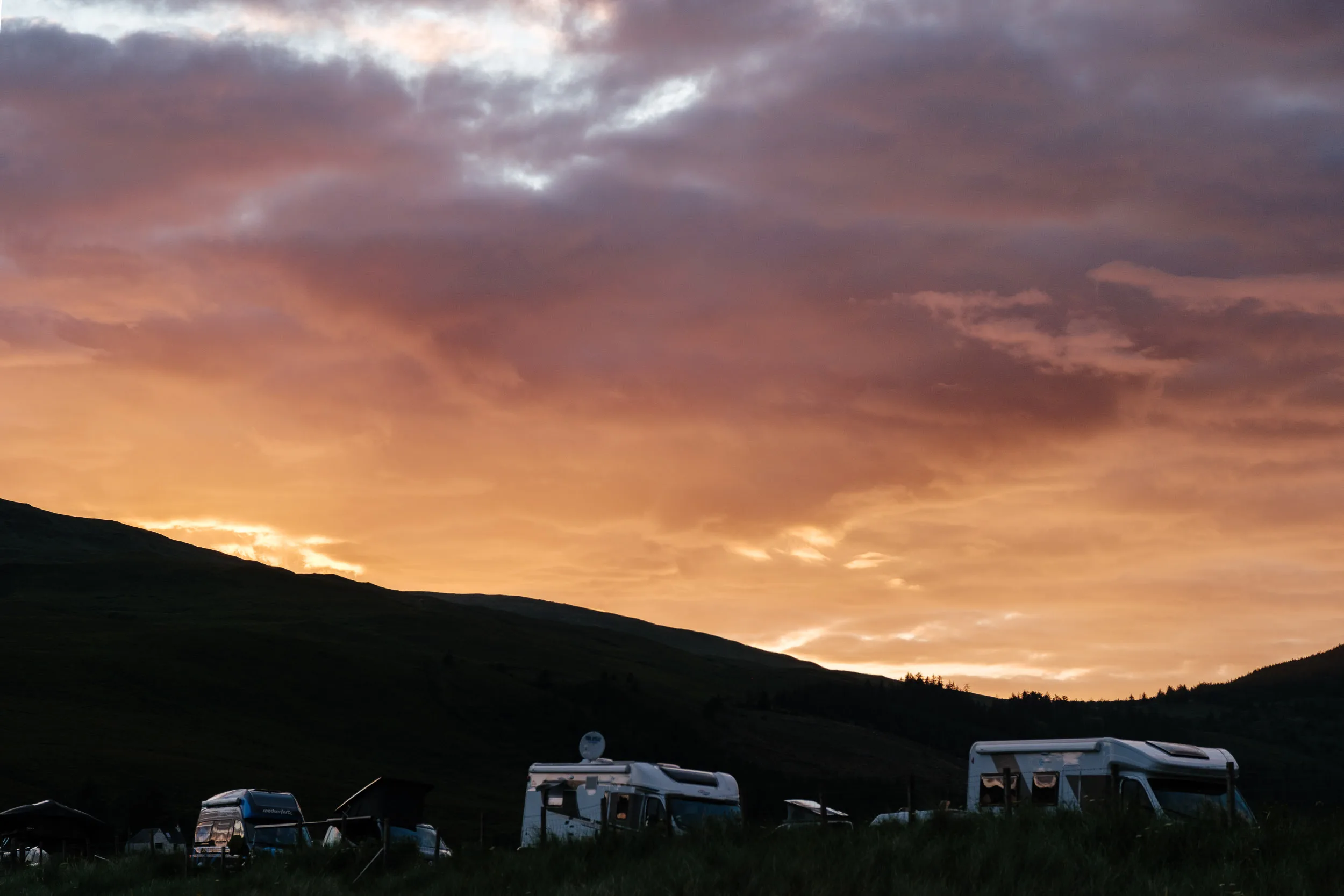
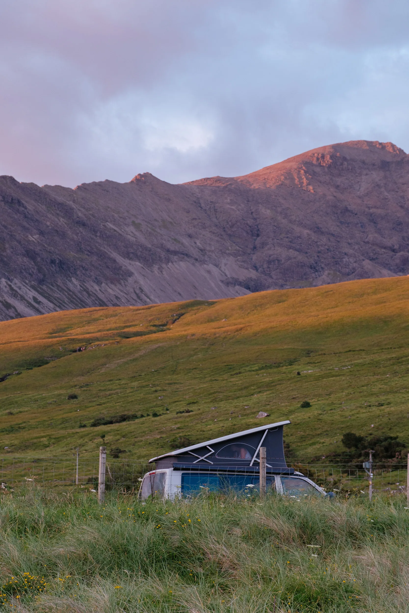
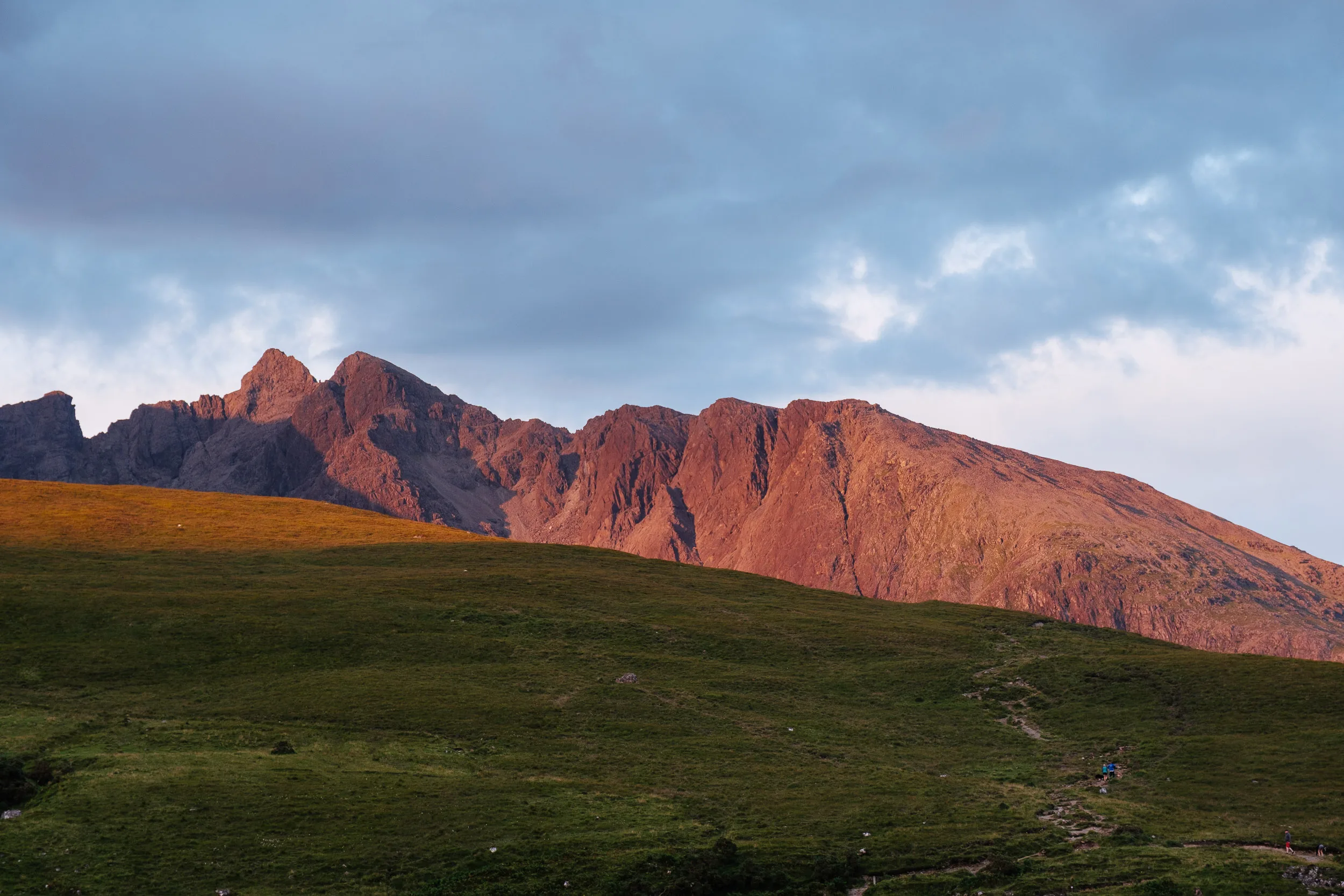
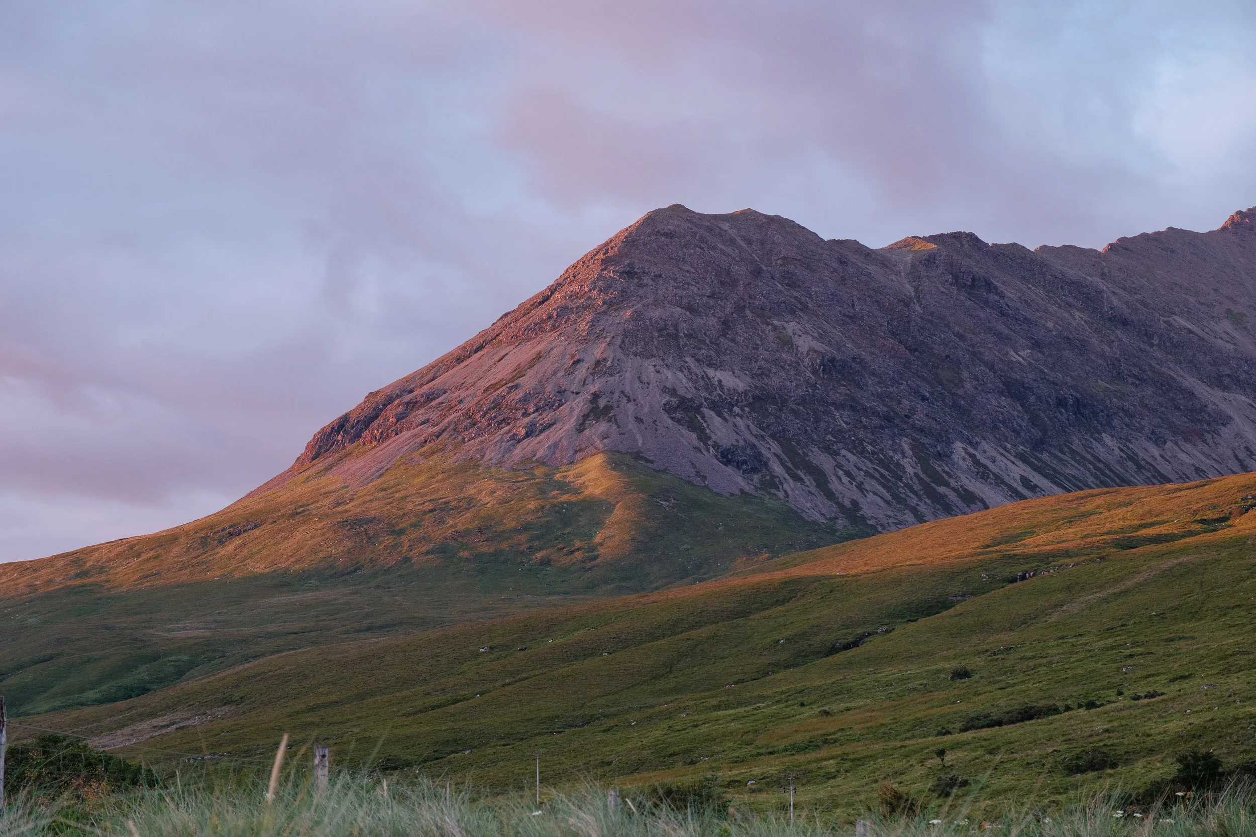
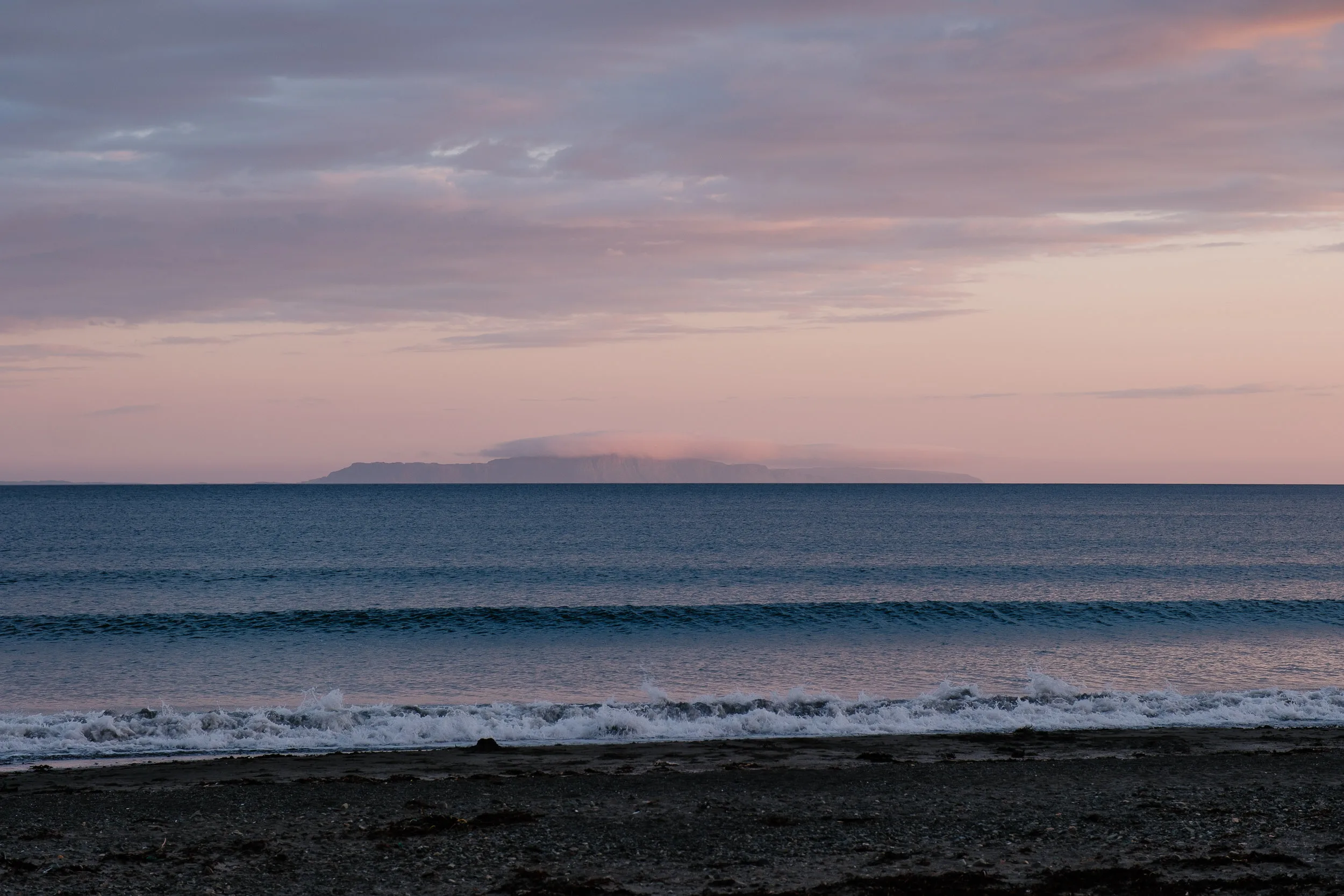
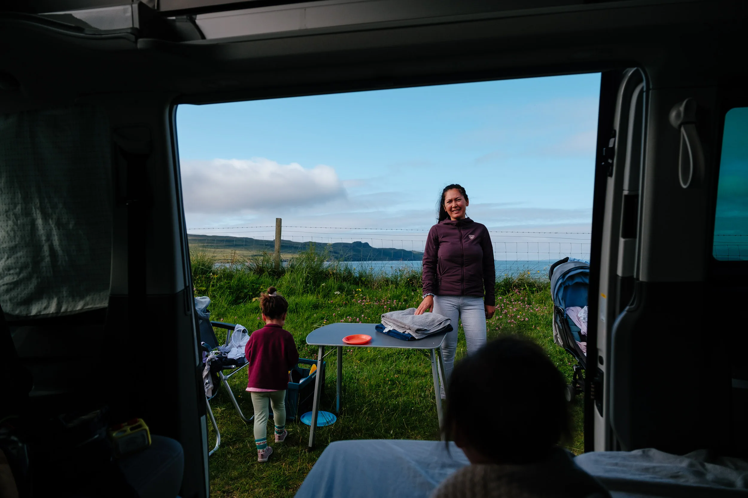
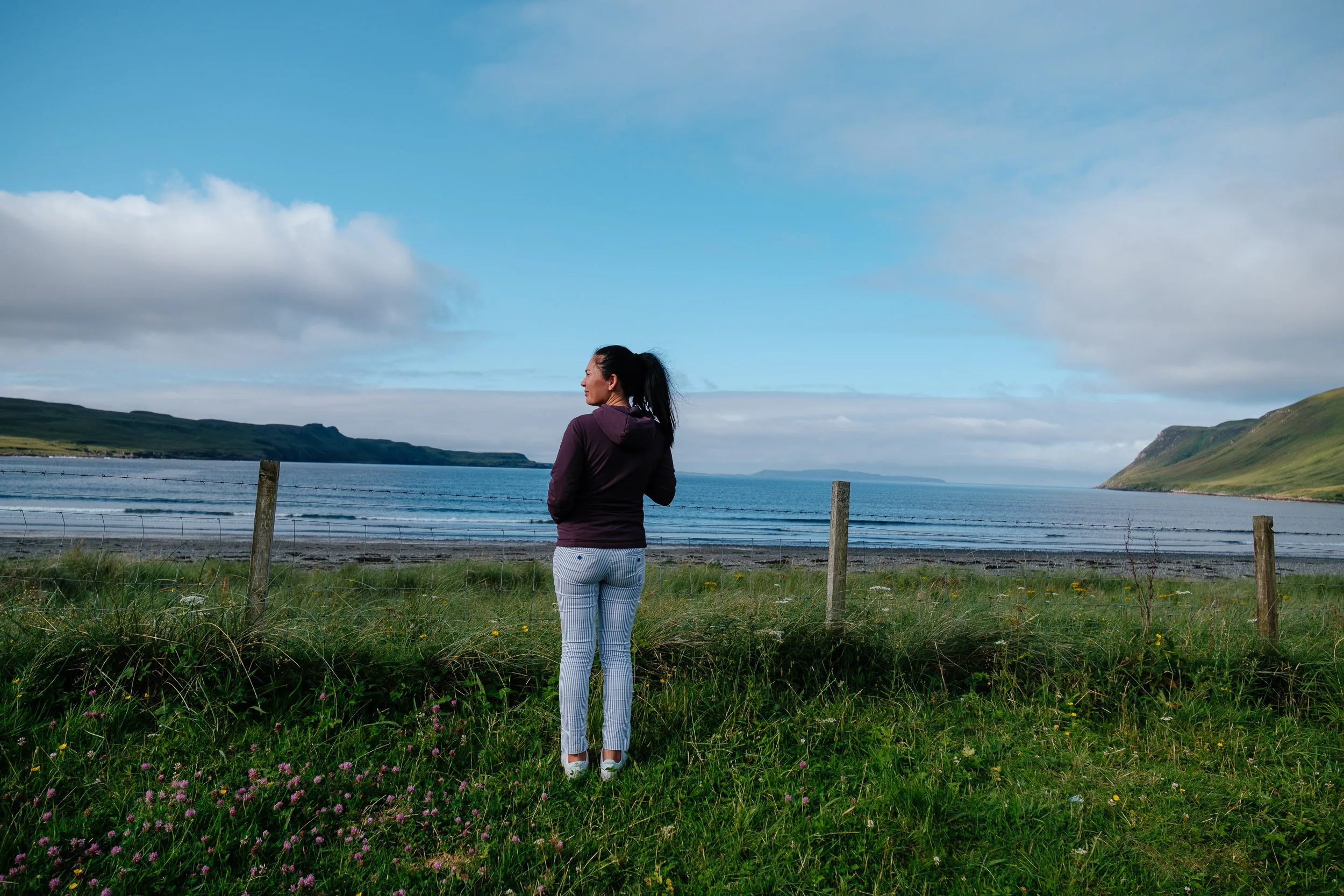
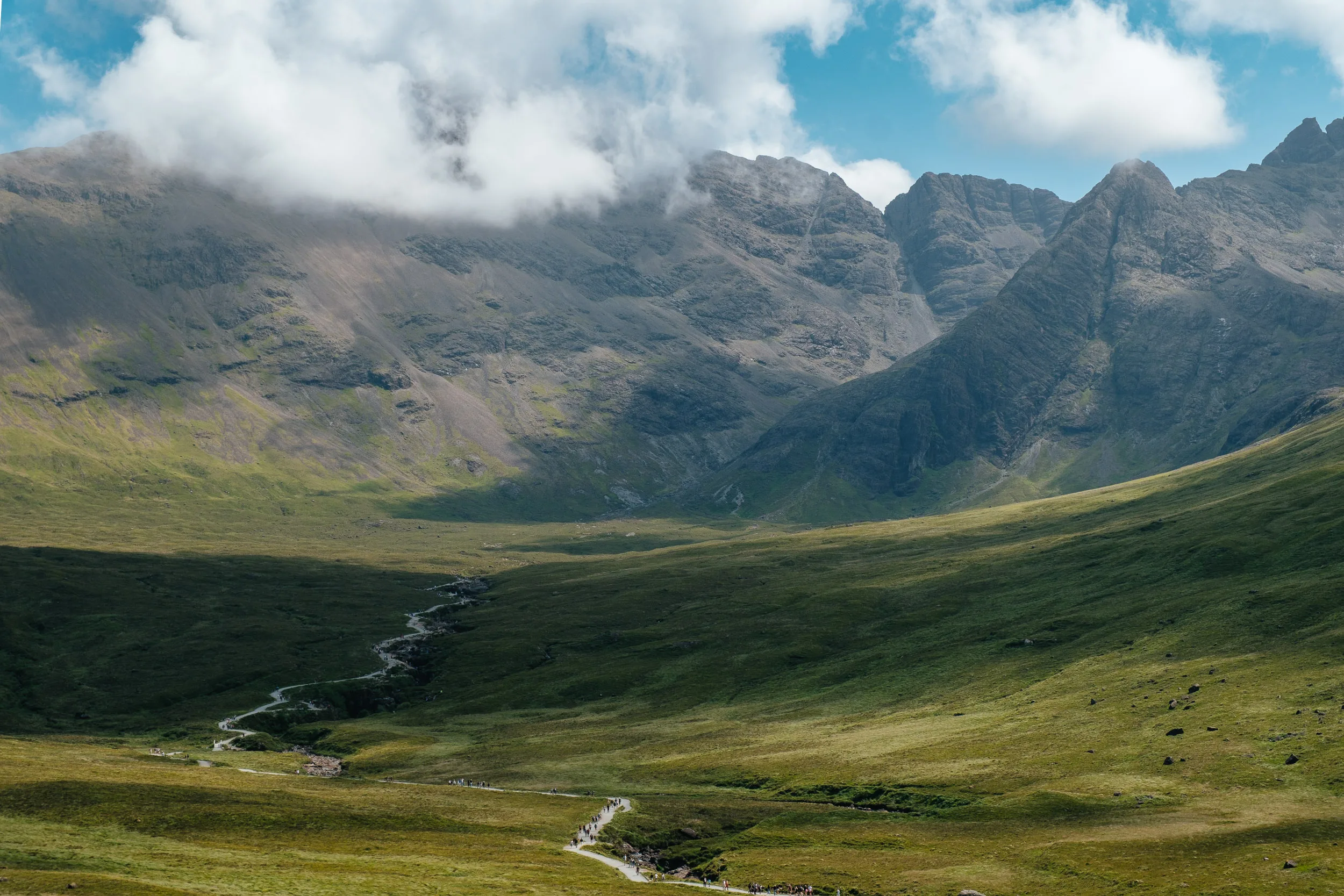
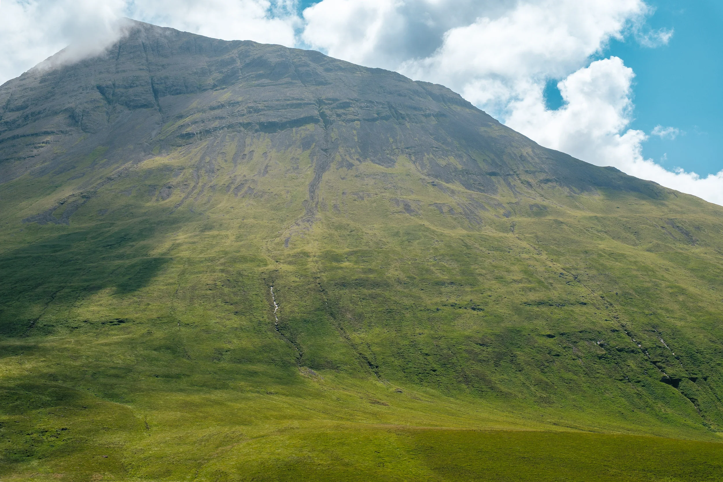
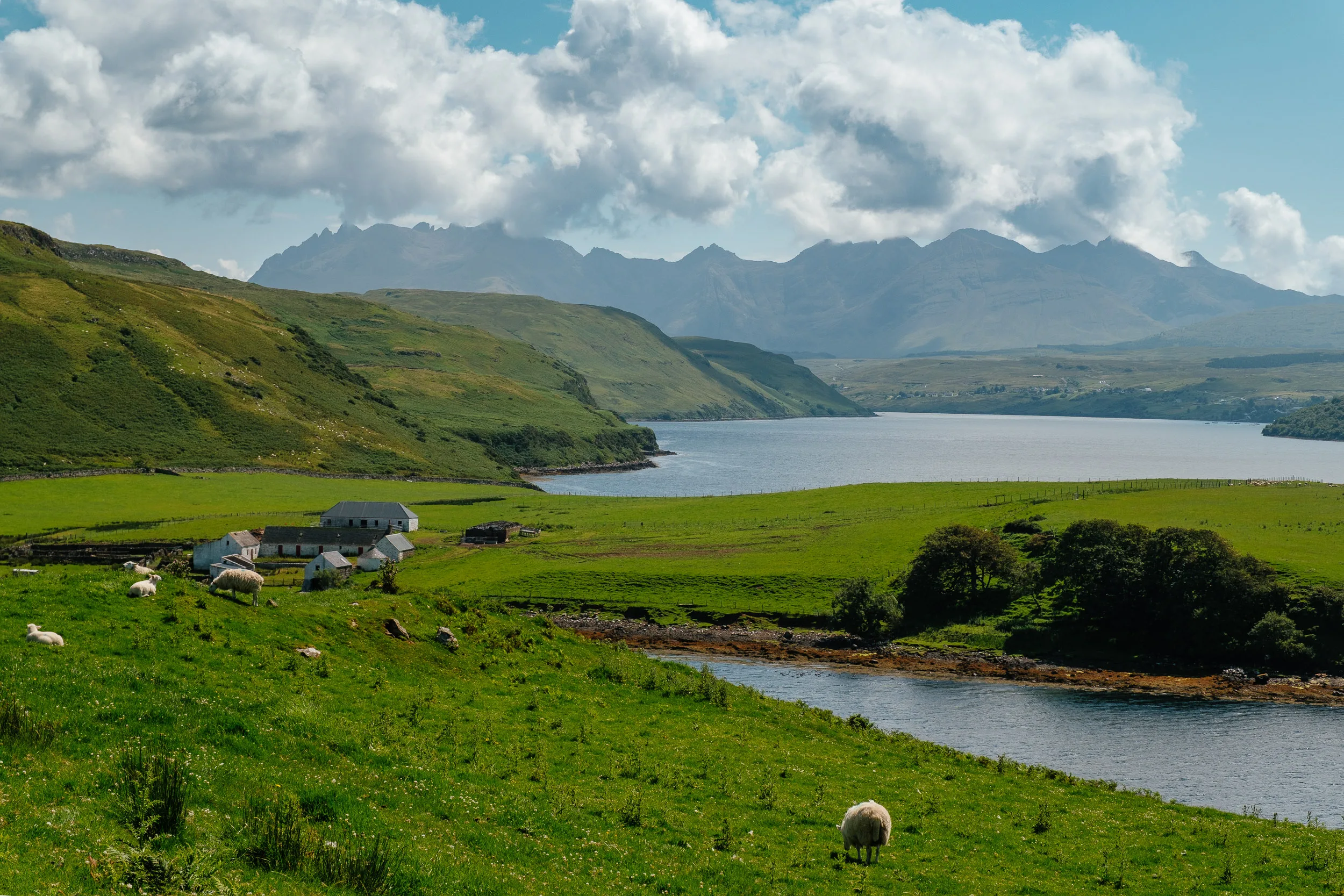
Our next stop was the absolutely gorgeous Isle of Skye. We decided to camp at Glenbrittle, a scenic valley on the rugged west coast of the island, right by the beach with the Black Cuillin in the background and the Talisker whisky distillery not far away. It is one of the most beautiful places we’ve ever camped. Our neighbours were an Australian family travelling with four kids in a camper van, and Sierra and Eloise had lots of fun with the other kids.
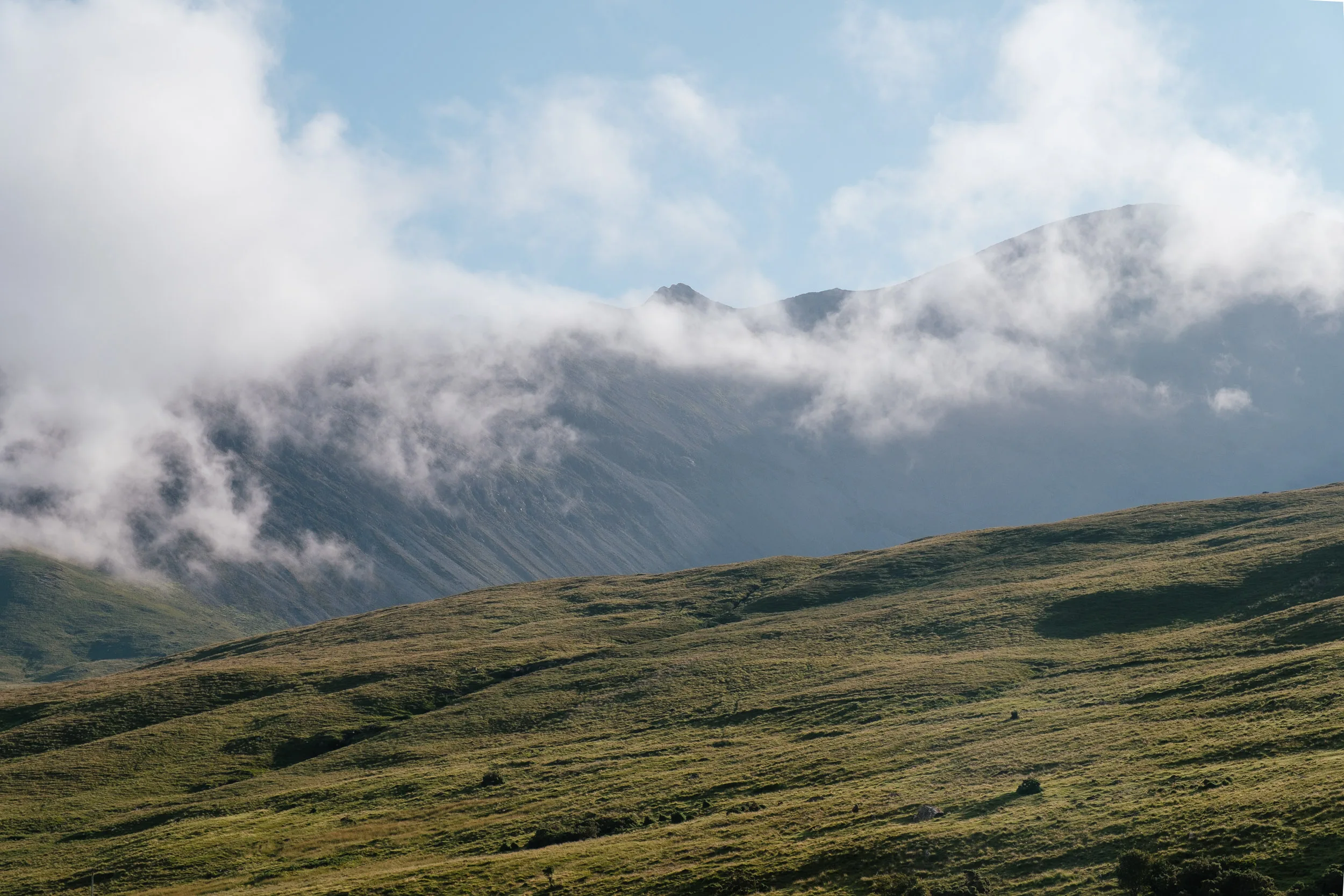
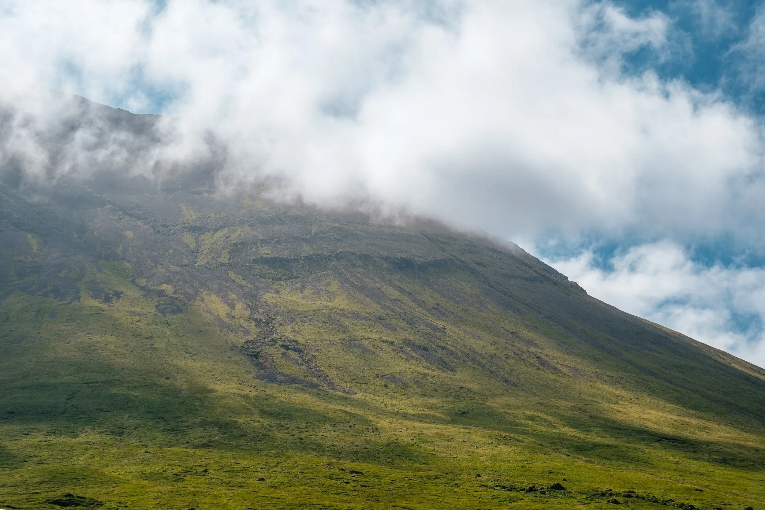
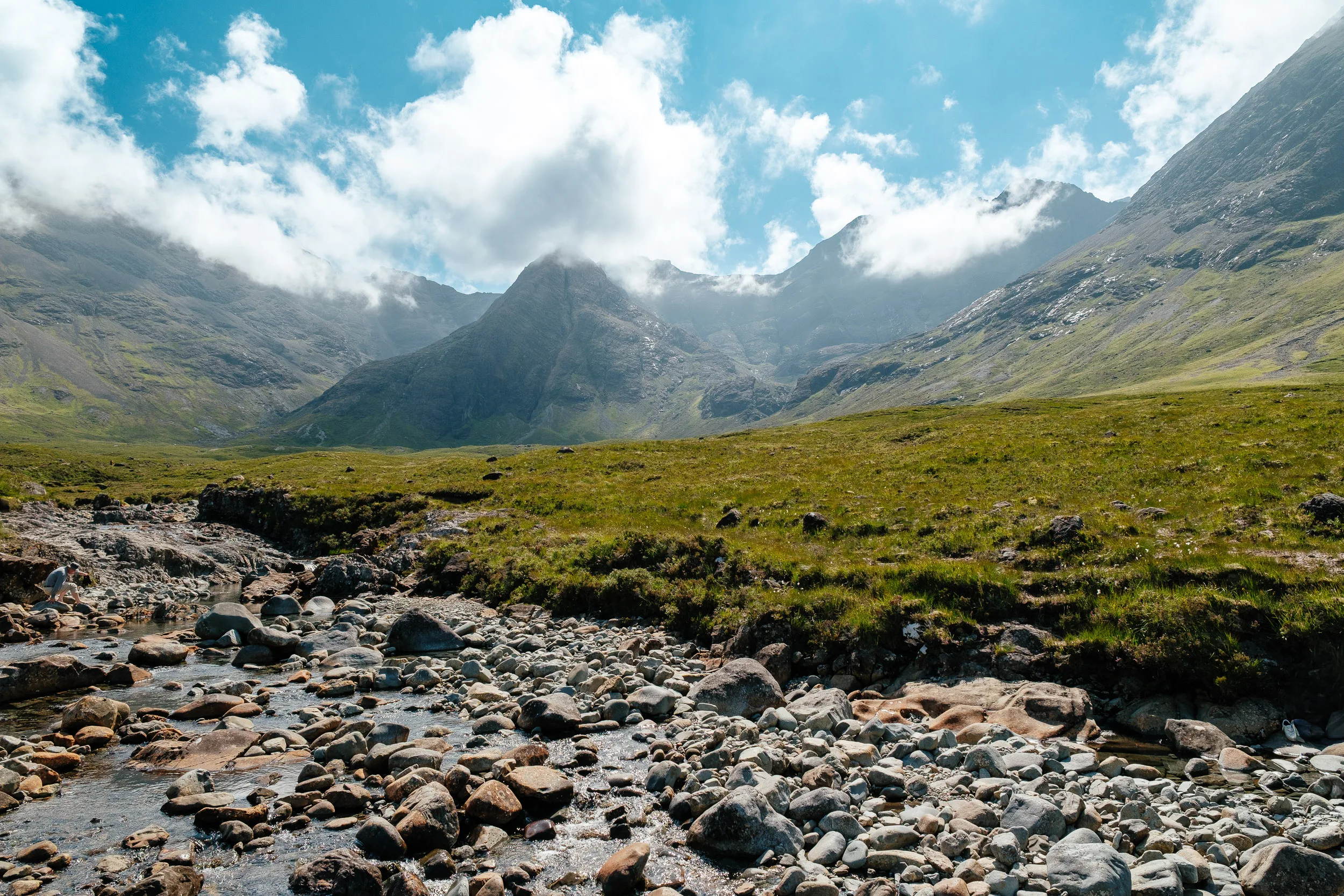
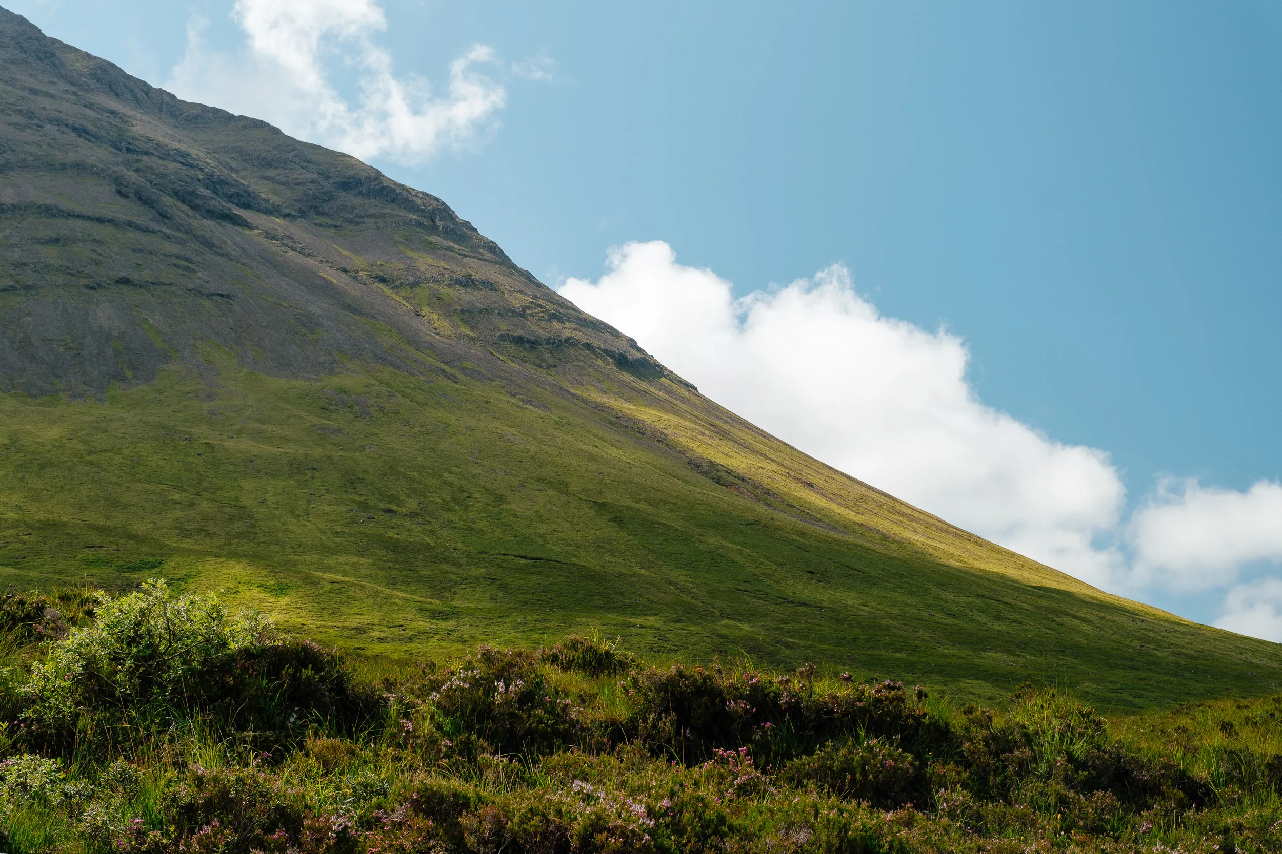
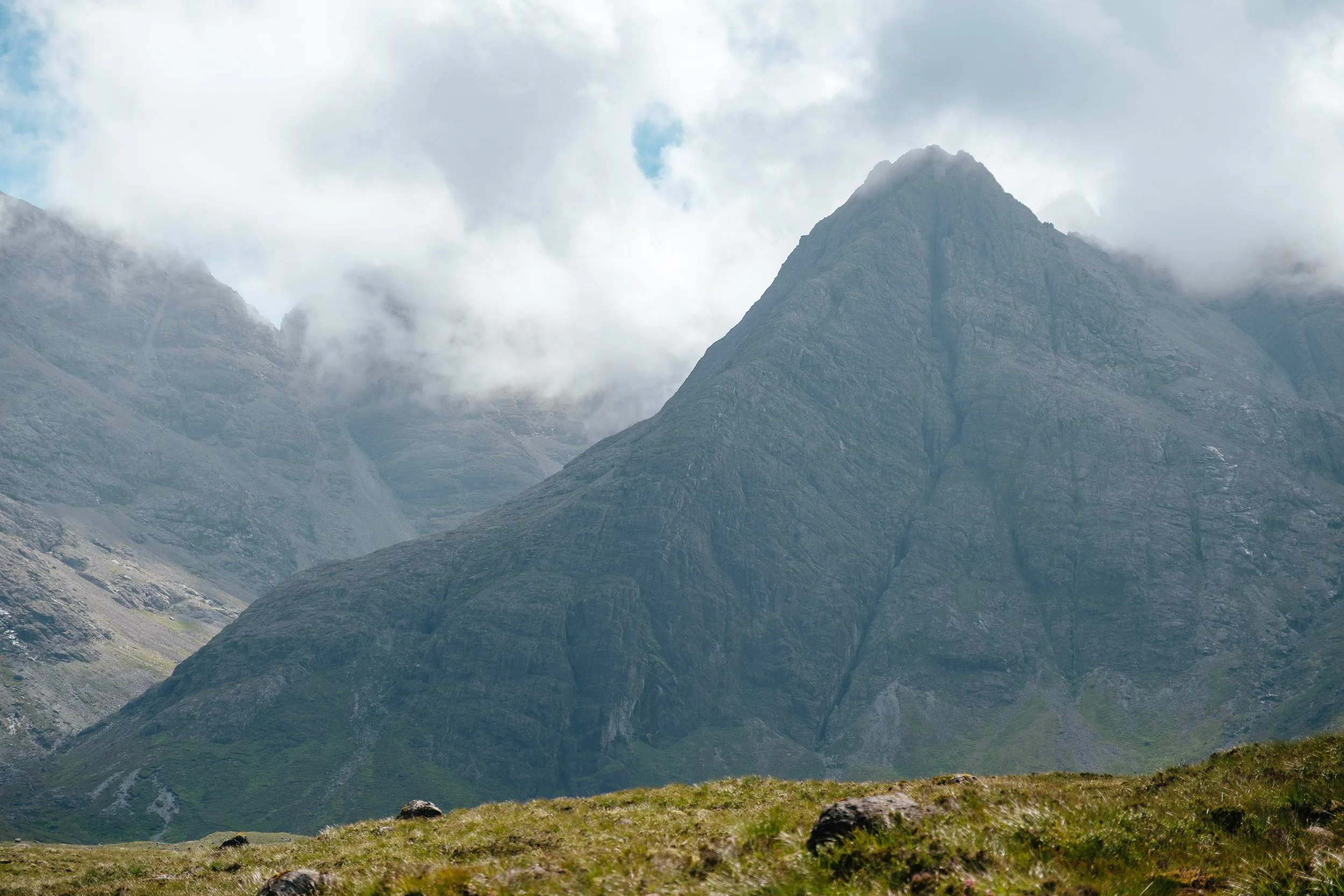
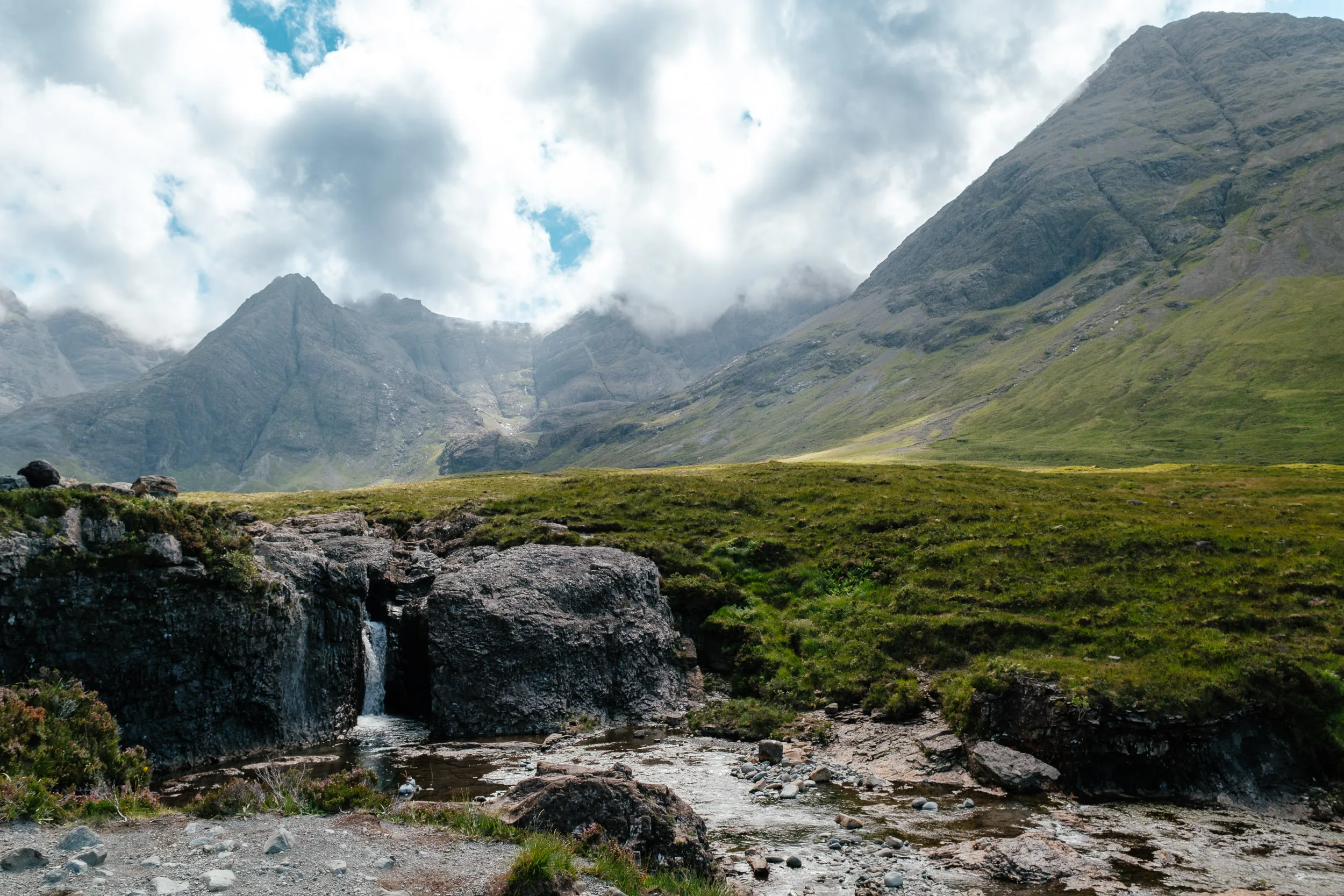
The Cuillin are unlike anything else in Britain. The ridge is a mix of gabbro, coarse, and superb to grip, intruded with basalt dykes and rarer rocks including highly metallic peridotite, which plays havoc with compass bearings.
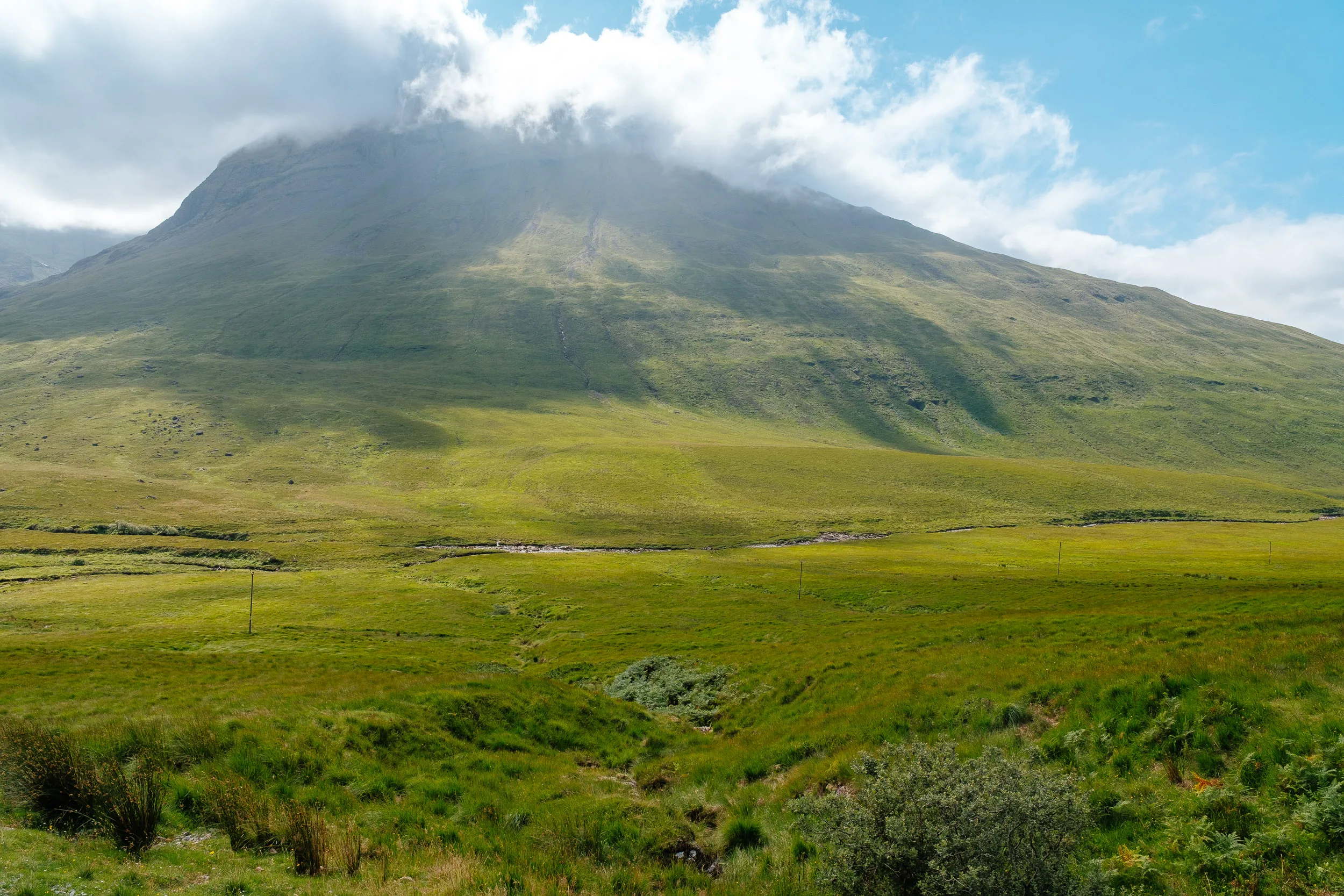
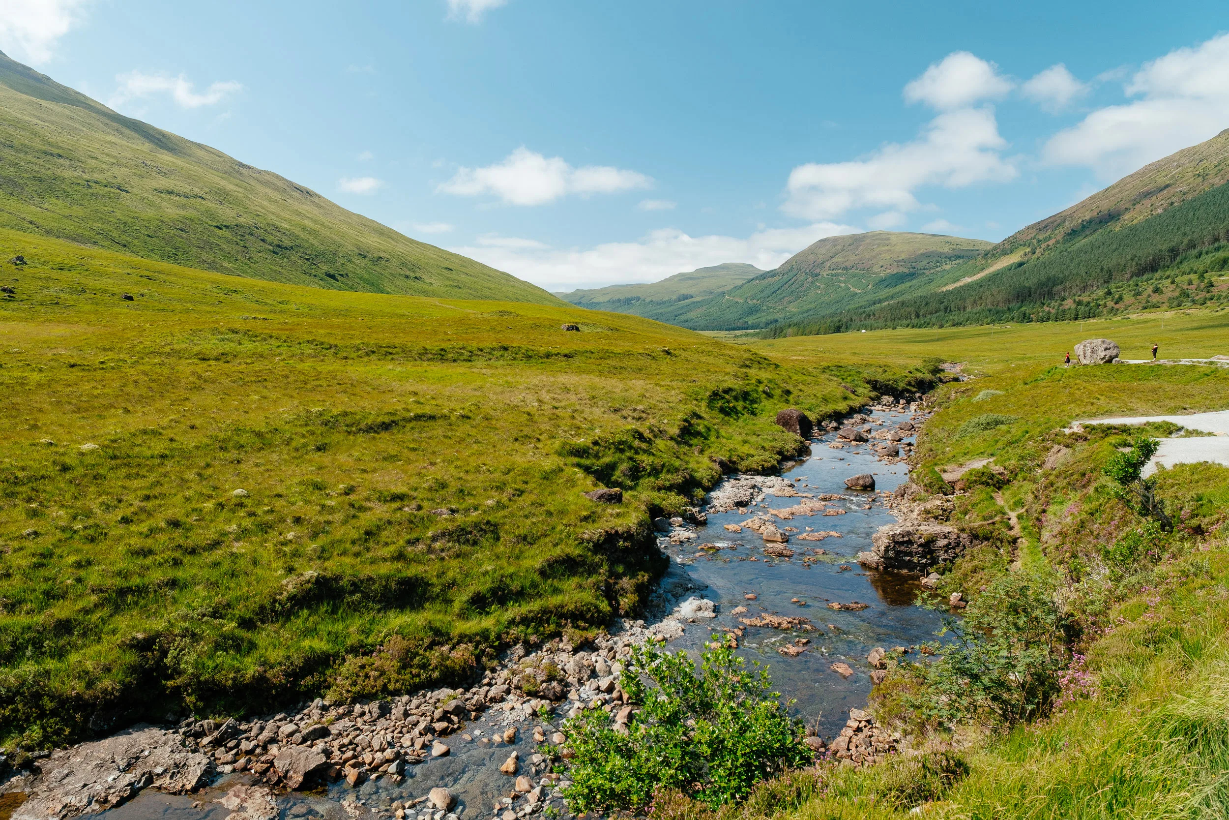
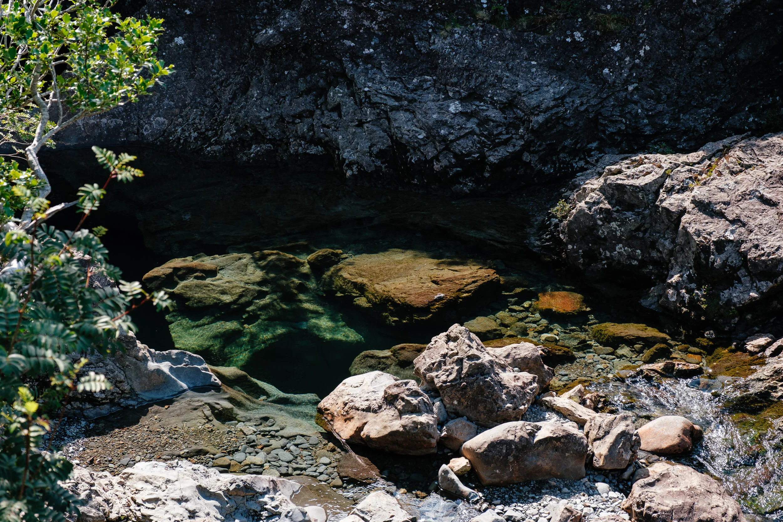
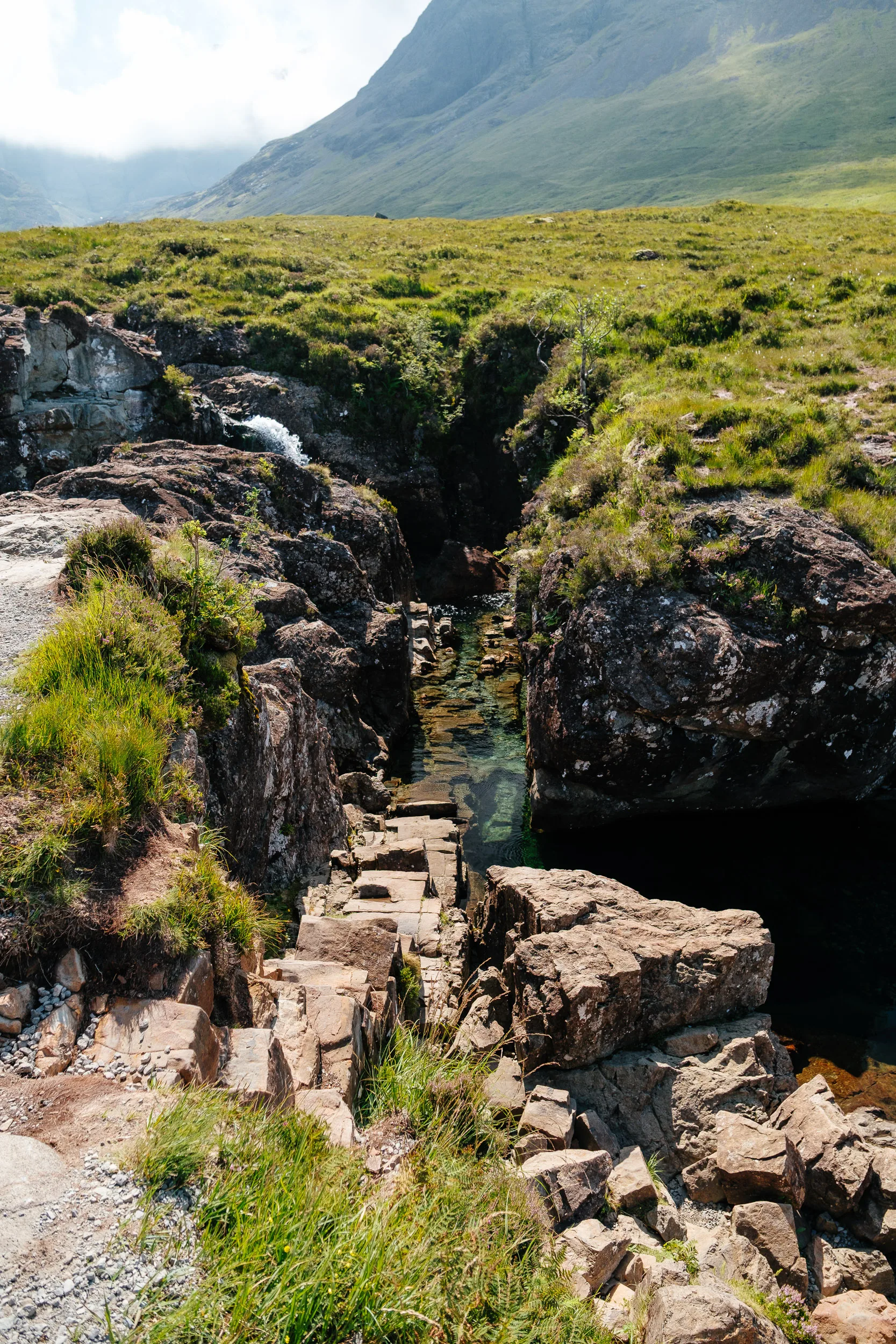
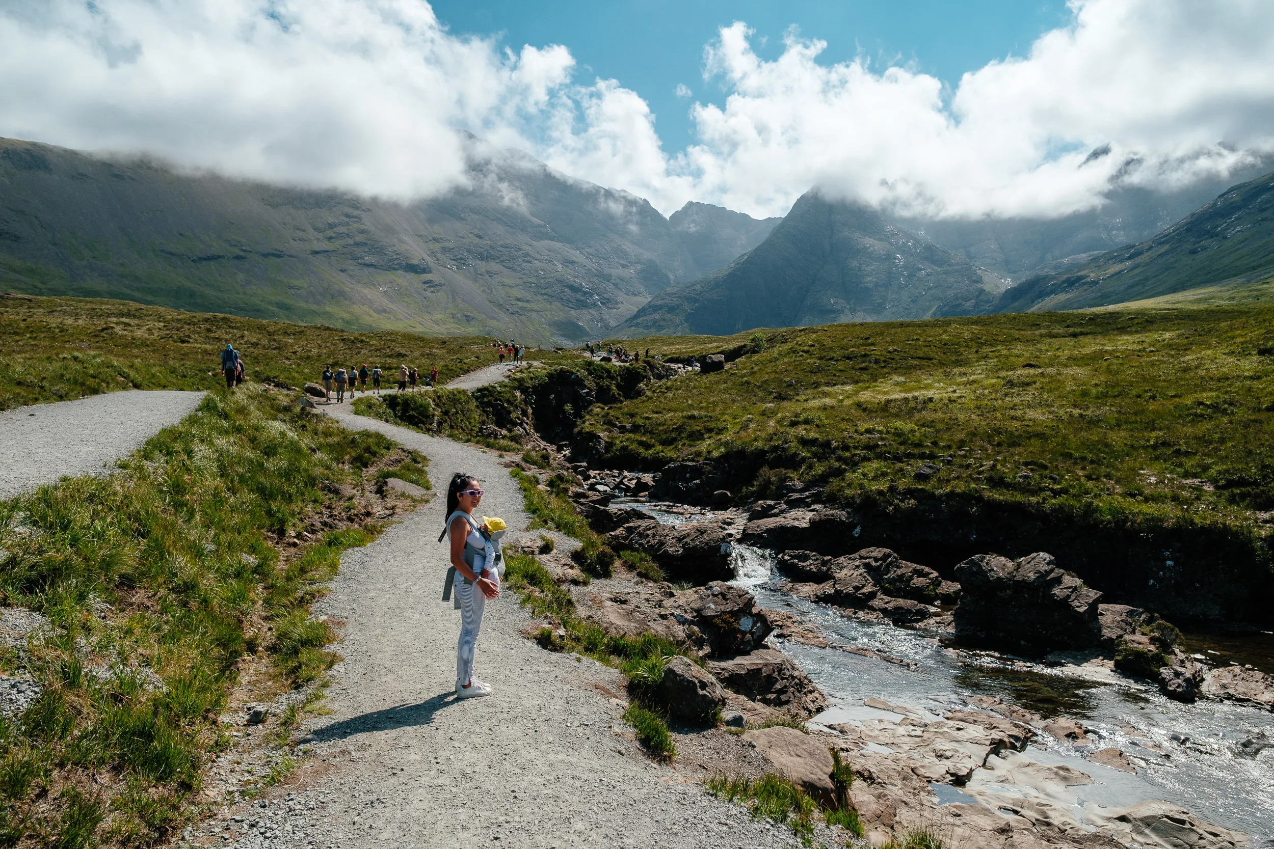
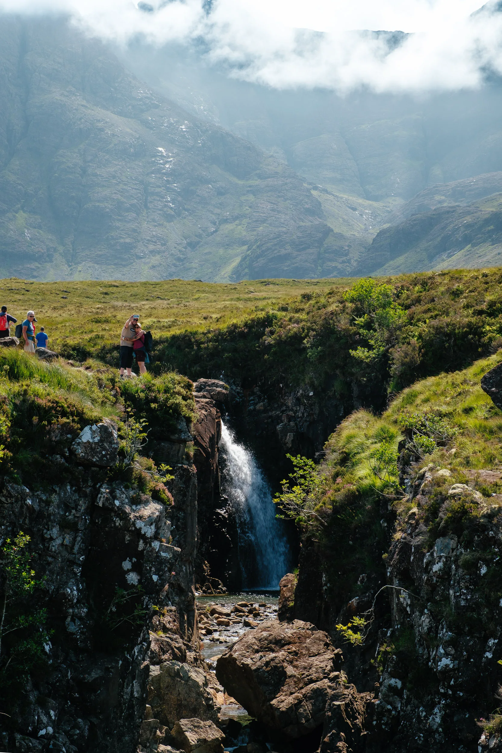
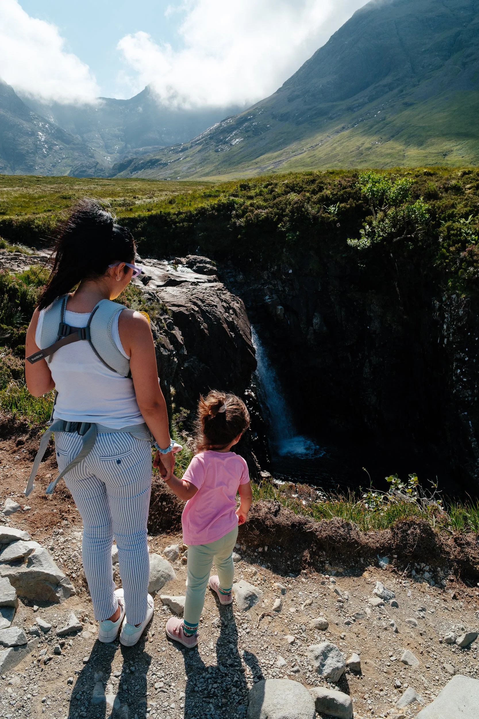
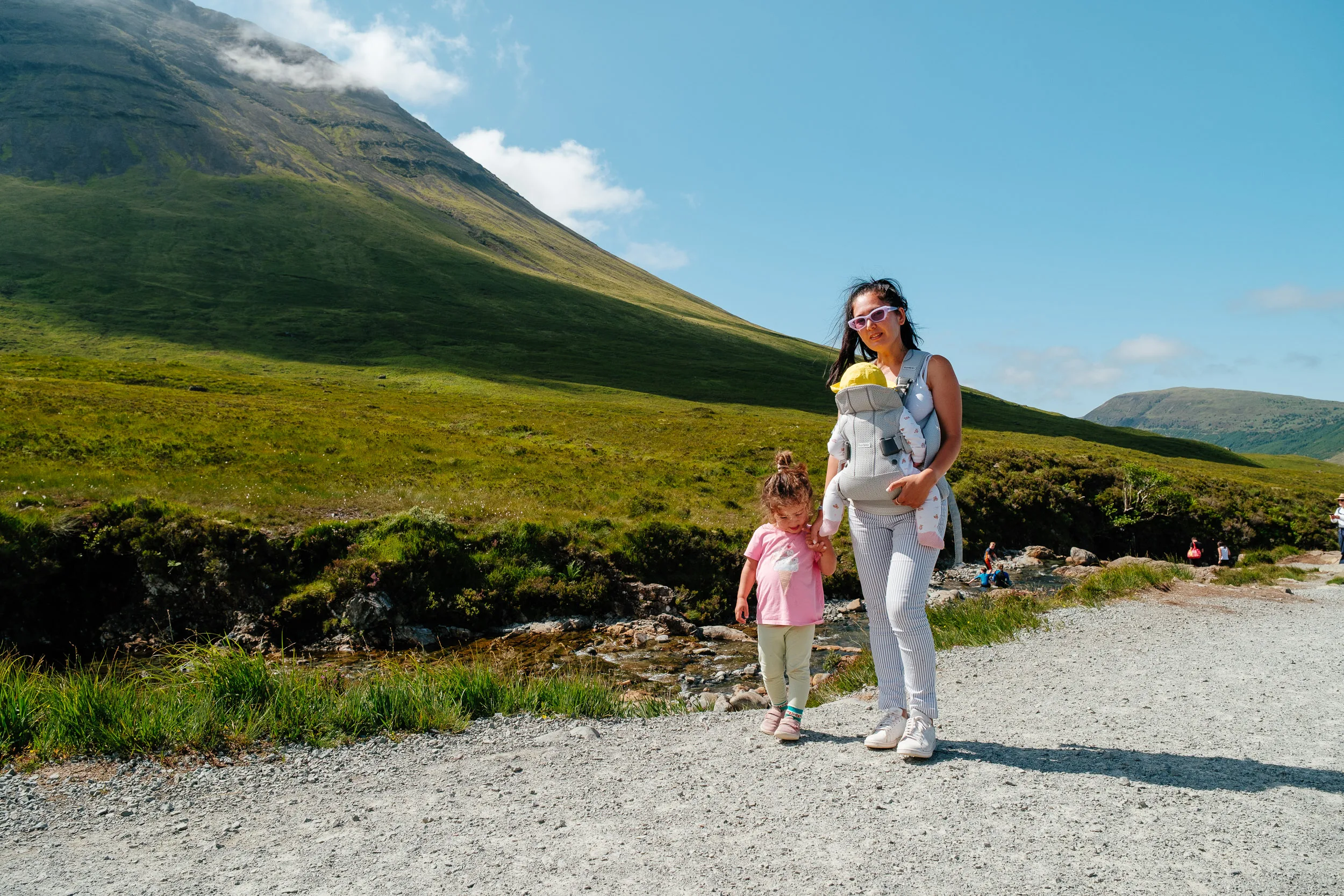
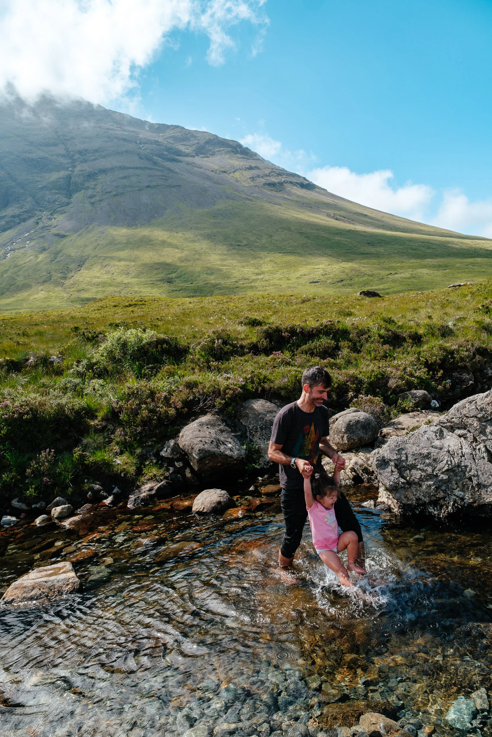
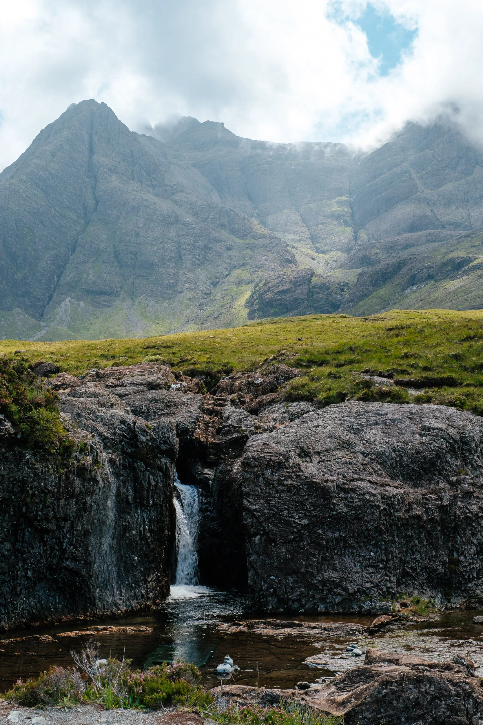
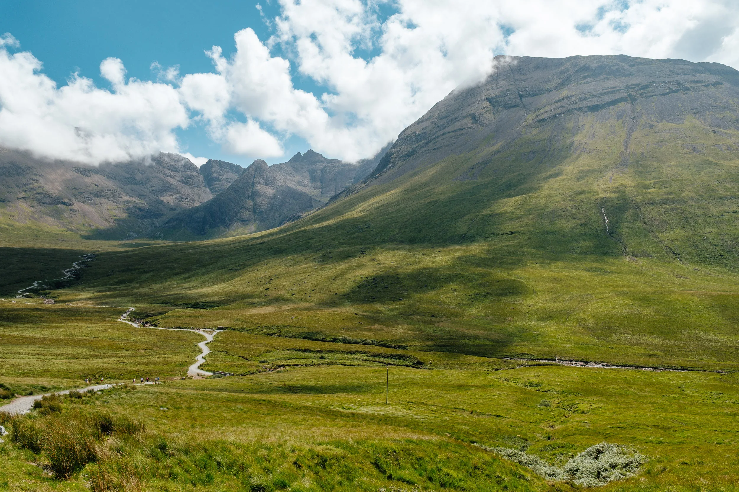
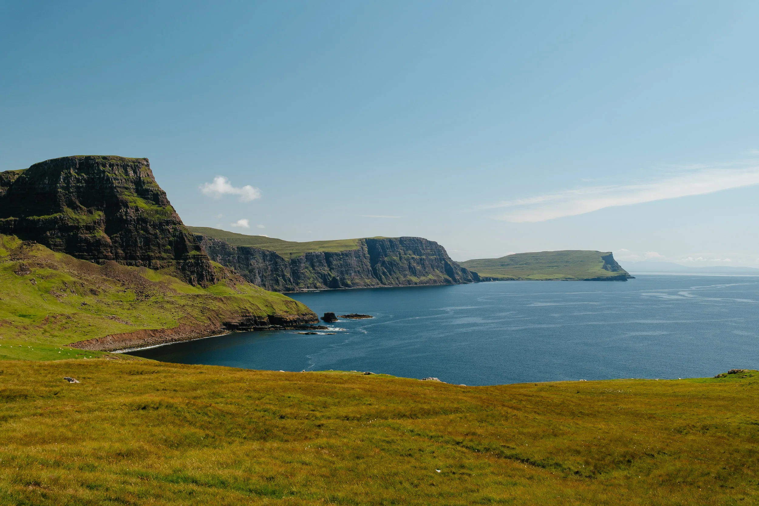
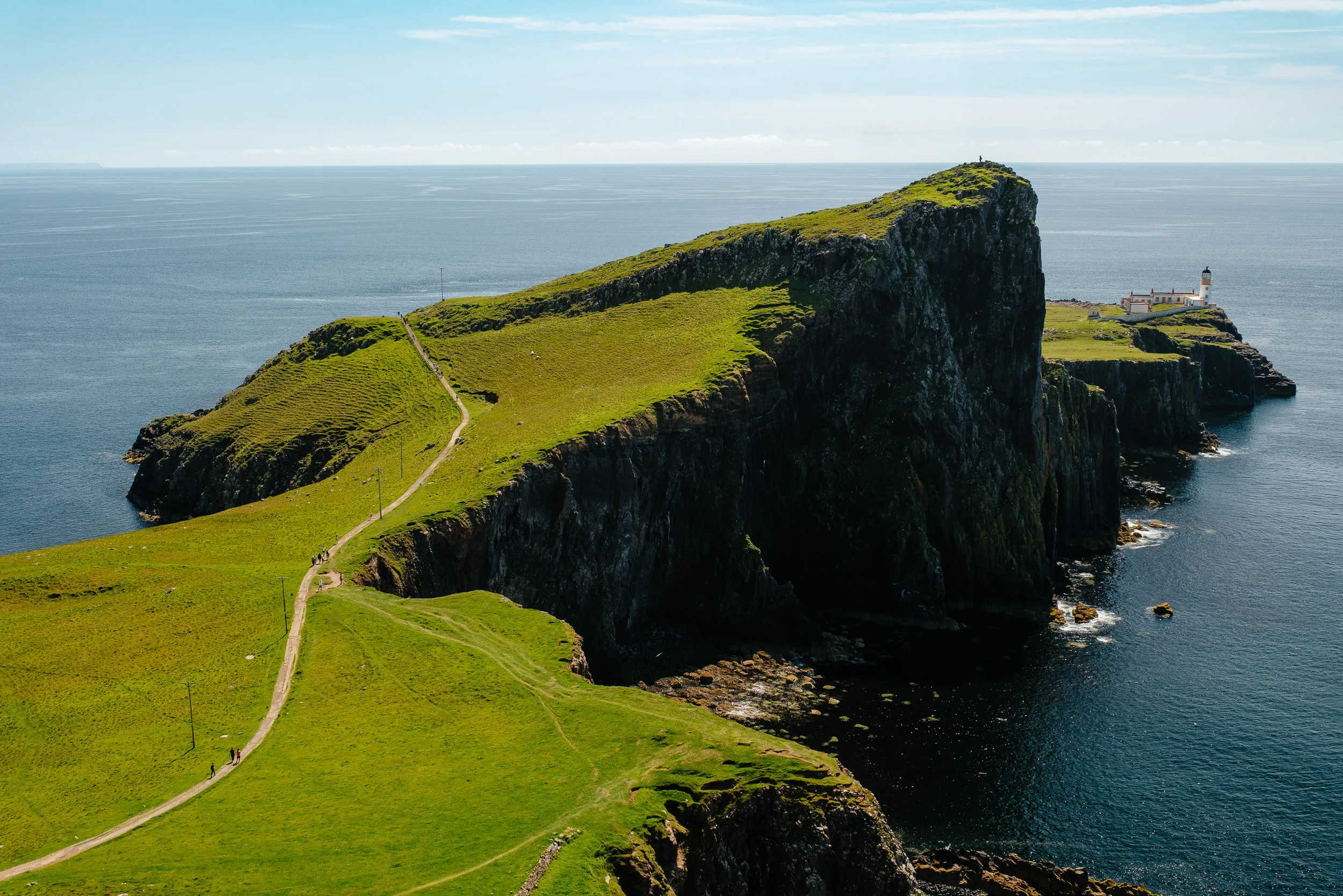
The next day we visited the Fairy Pools in the Black Cuillin. After that we made our way to Neist Point, famous for its dramatic cliffs and iconic lighthouse.
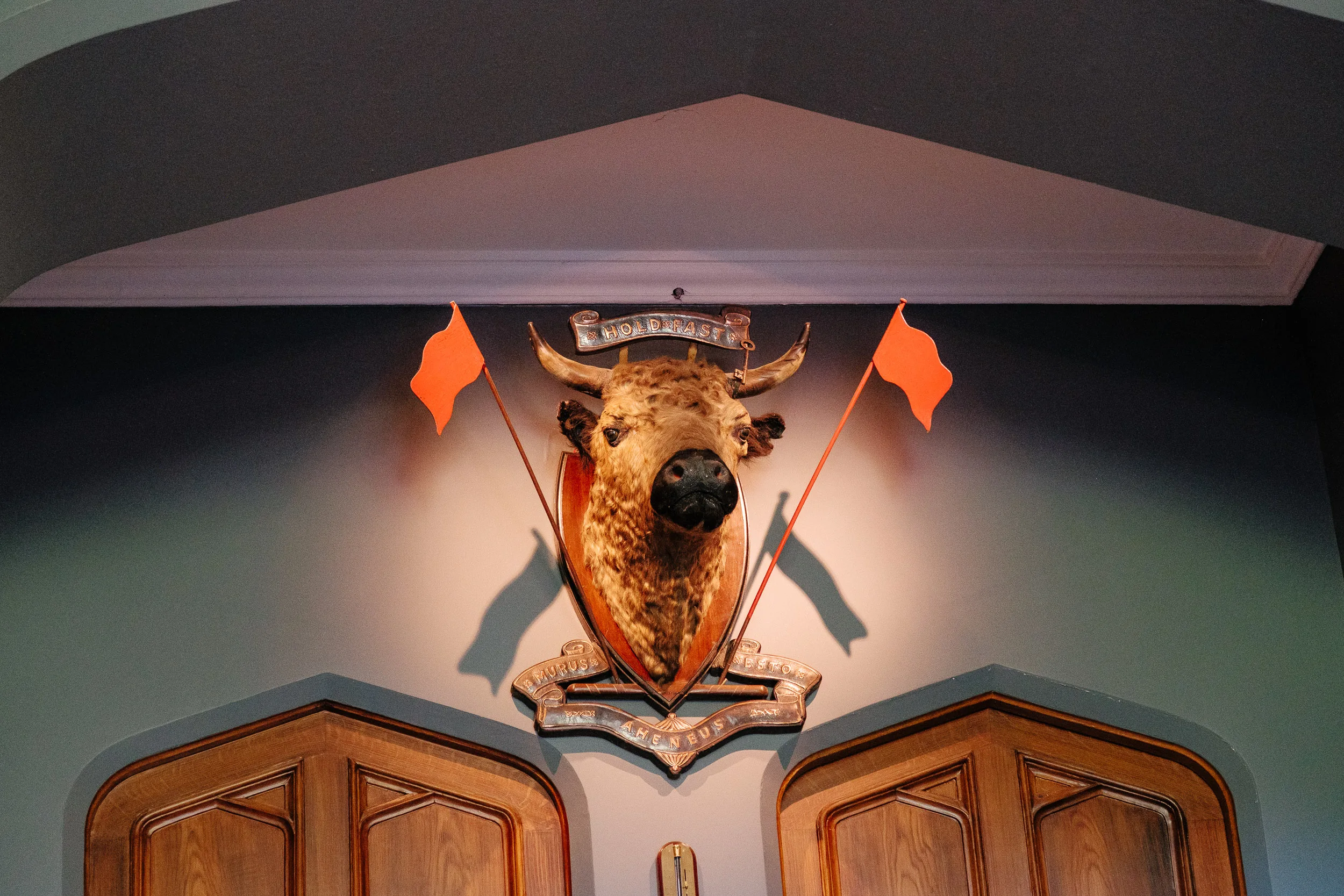
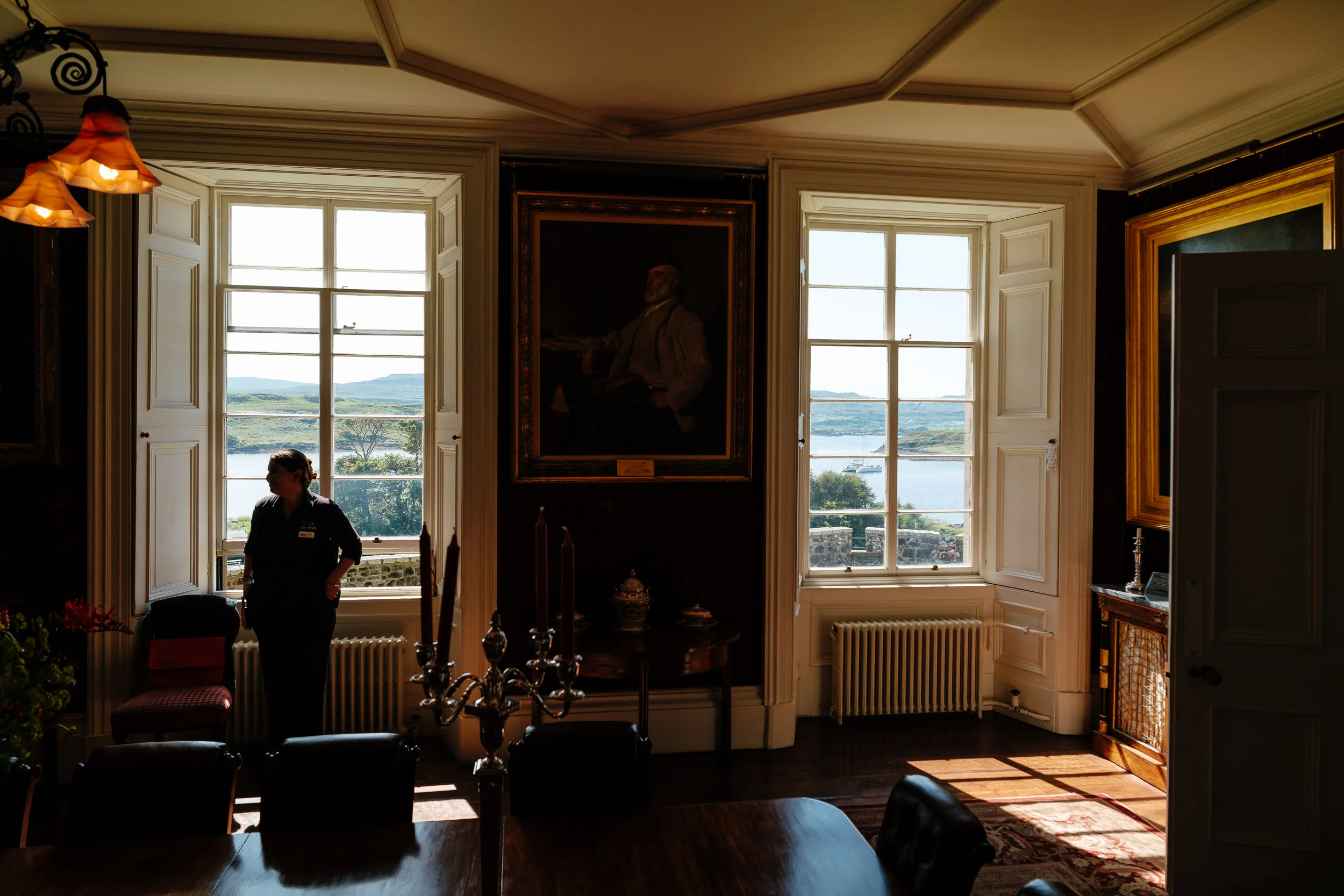
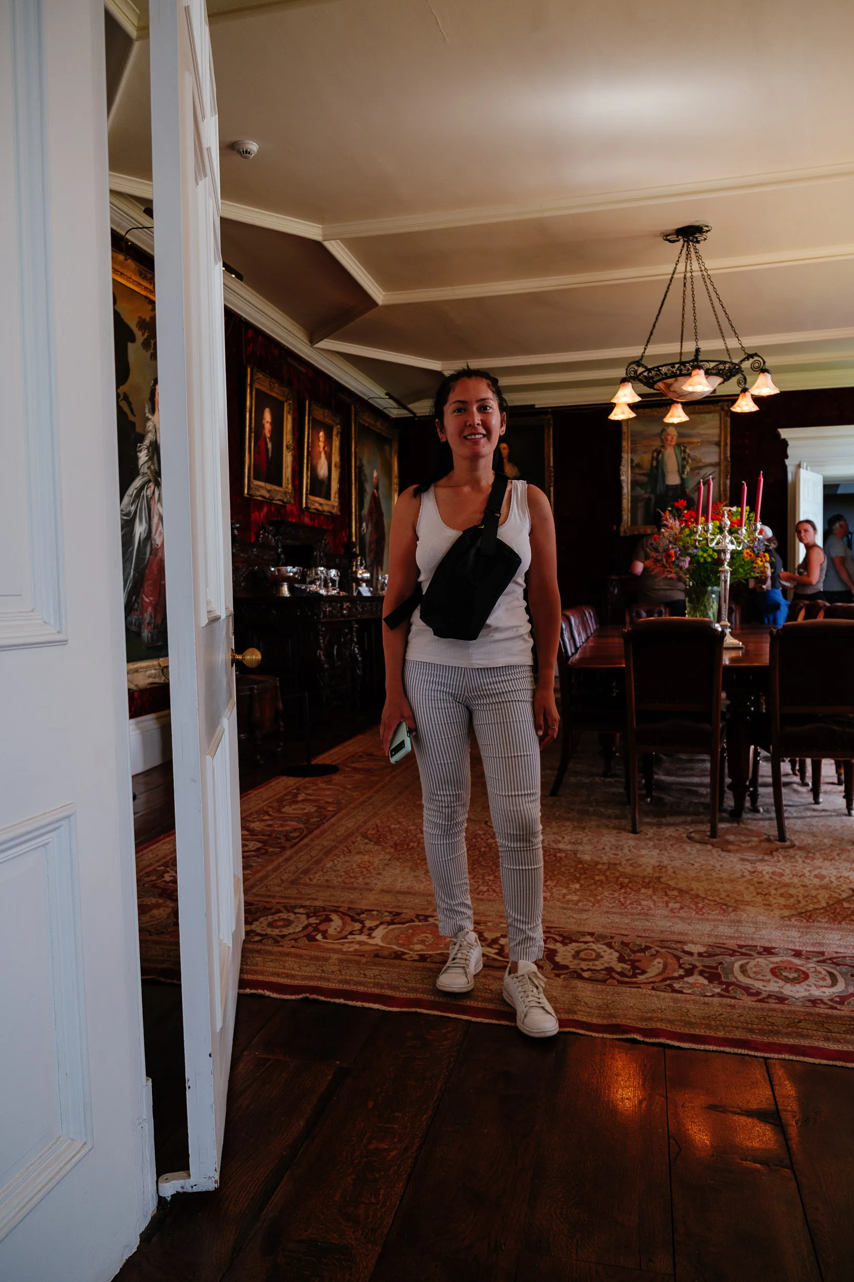
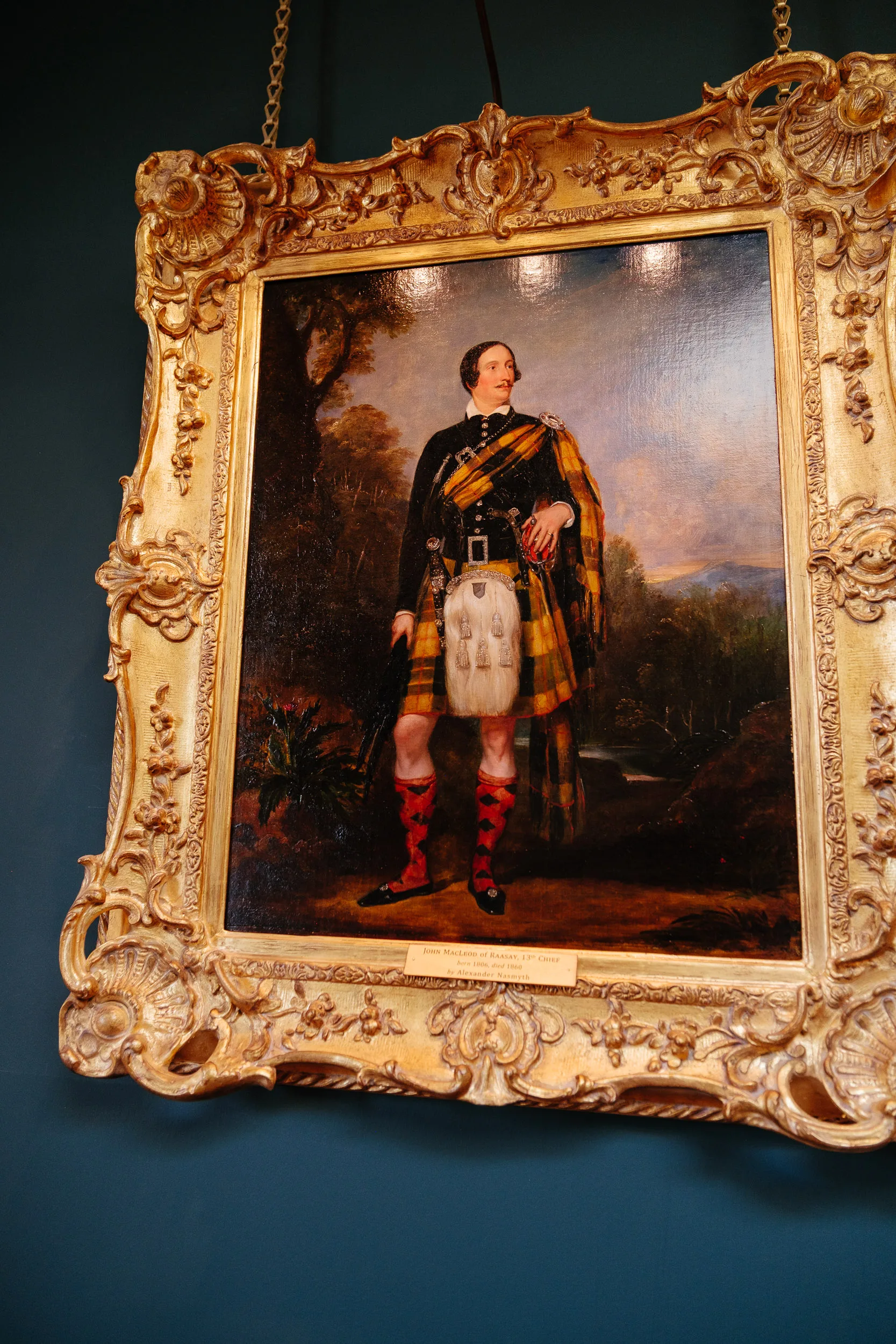
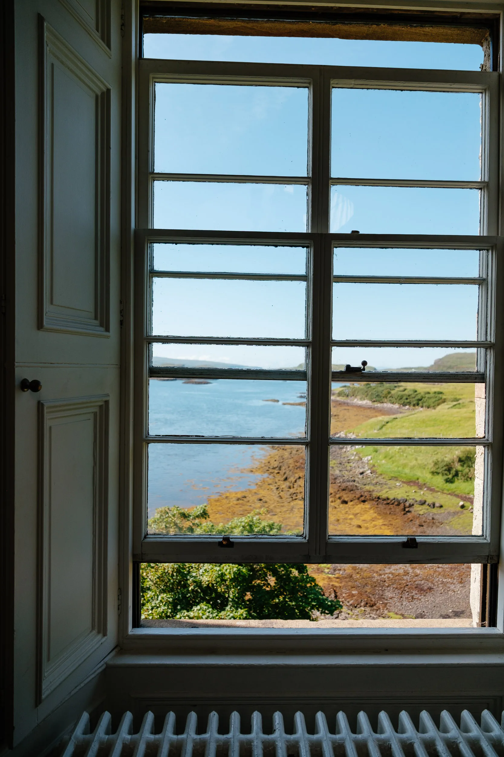
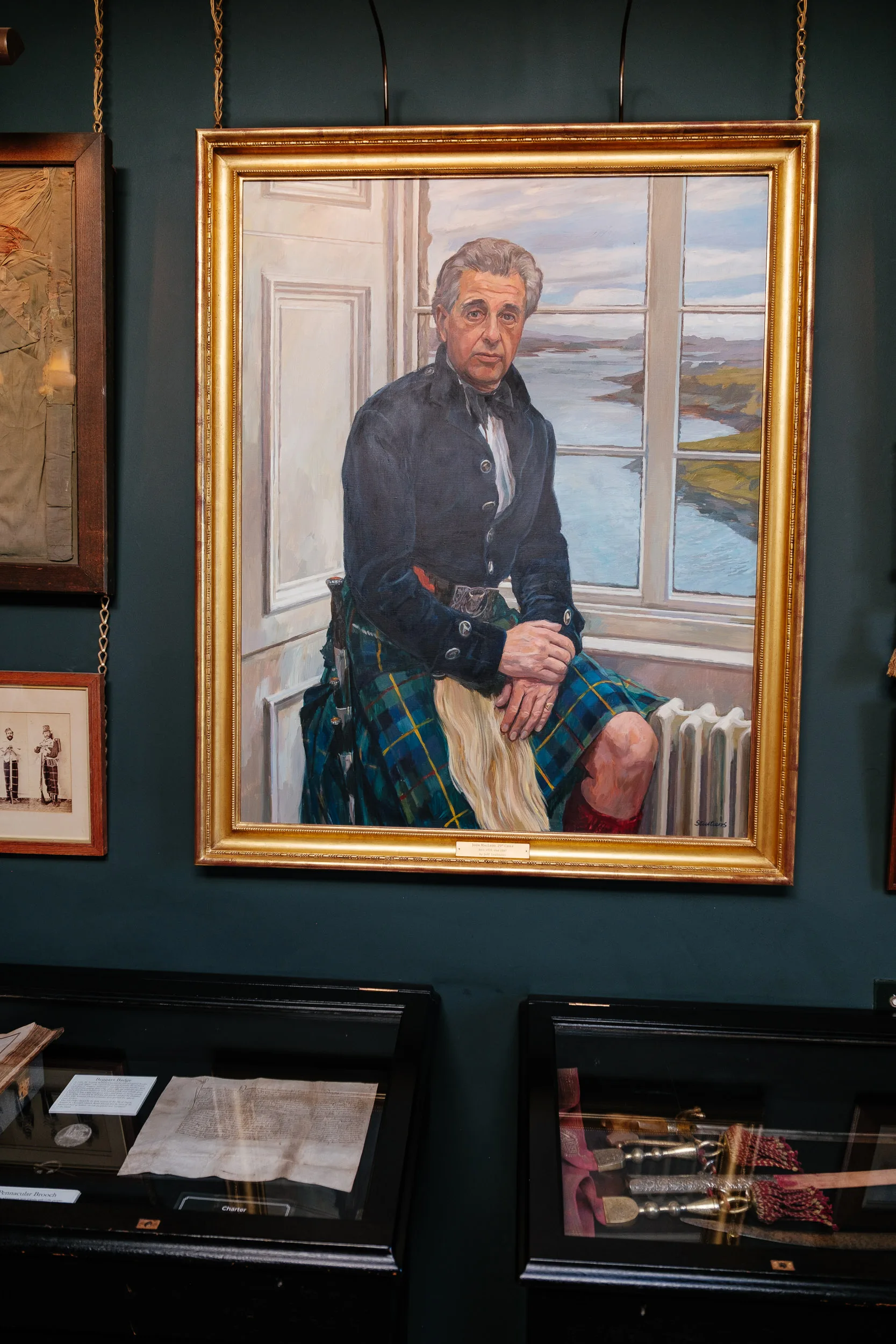
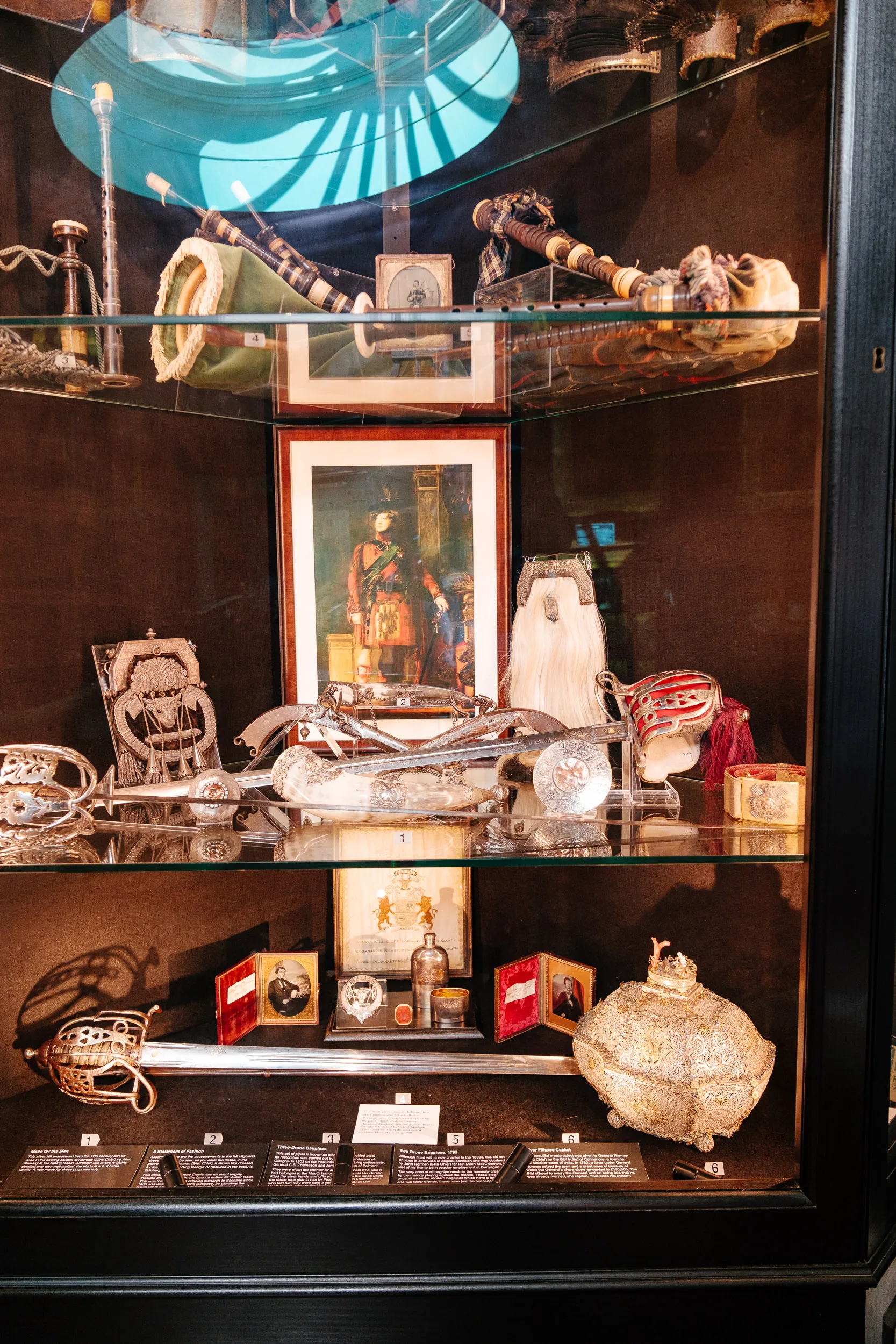
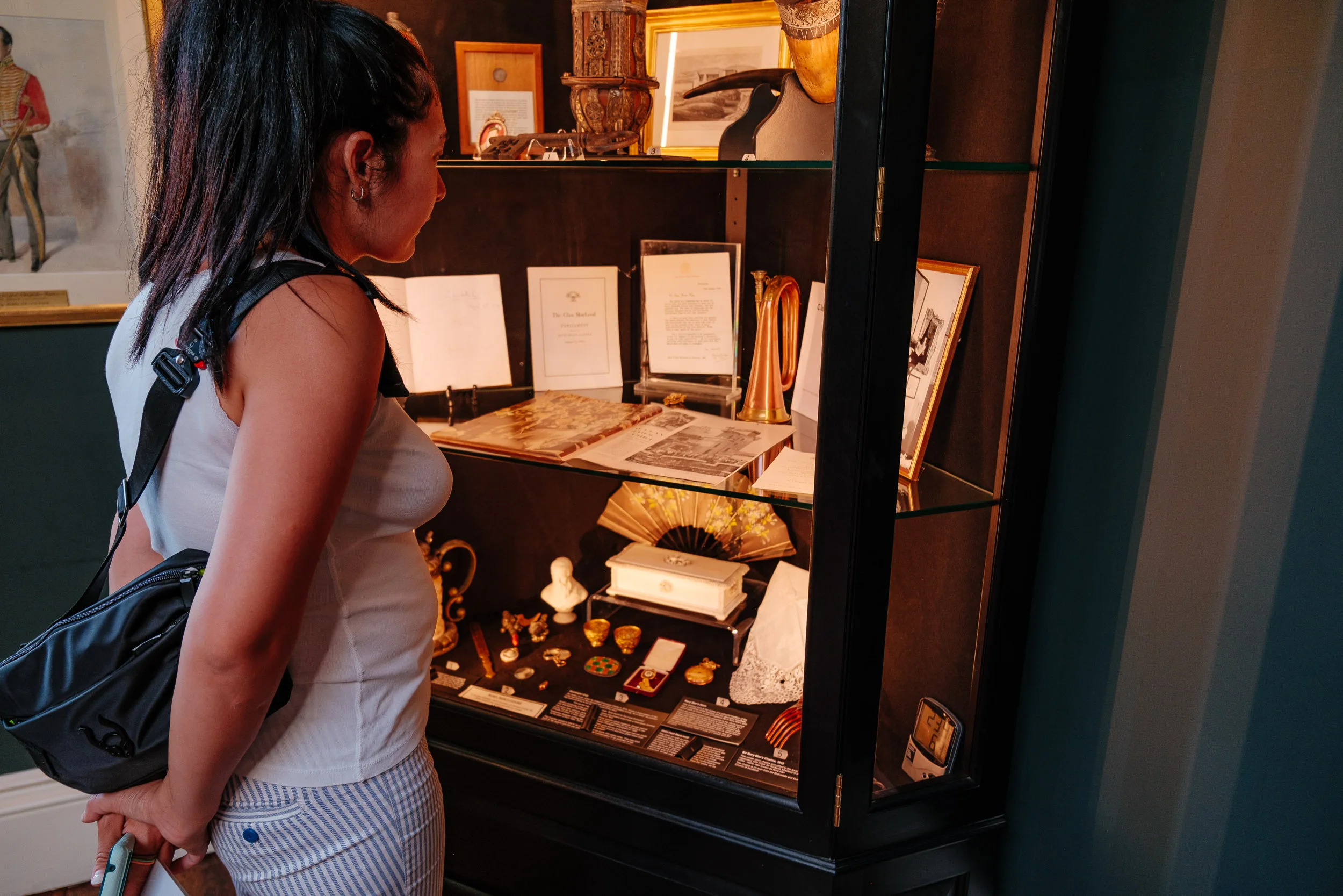
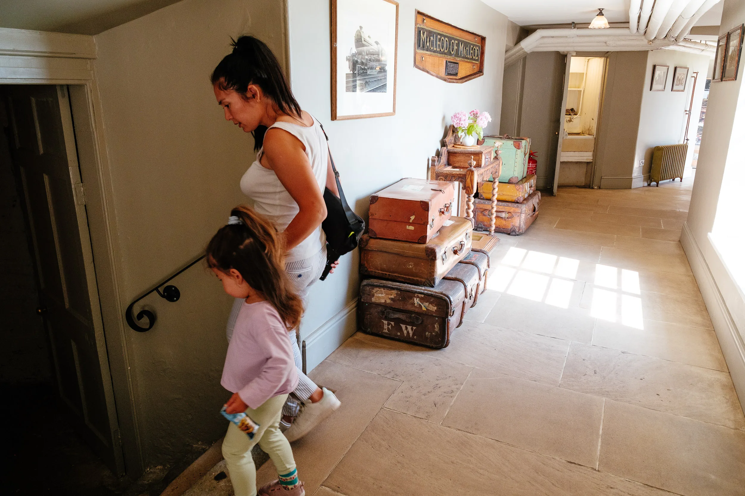
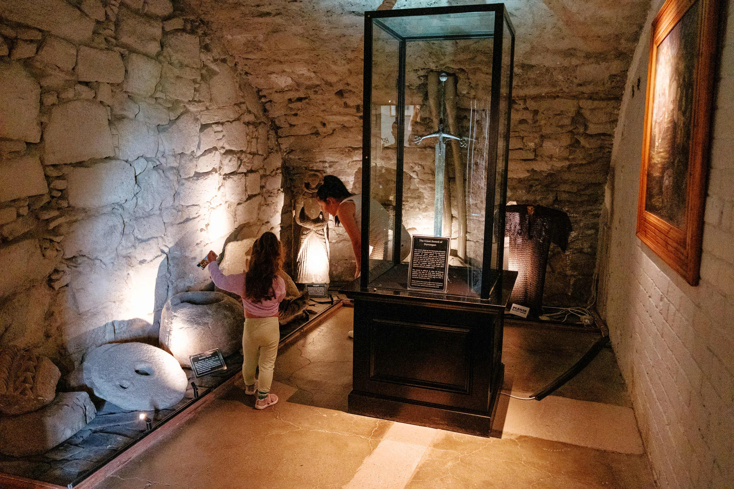
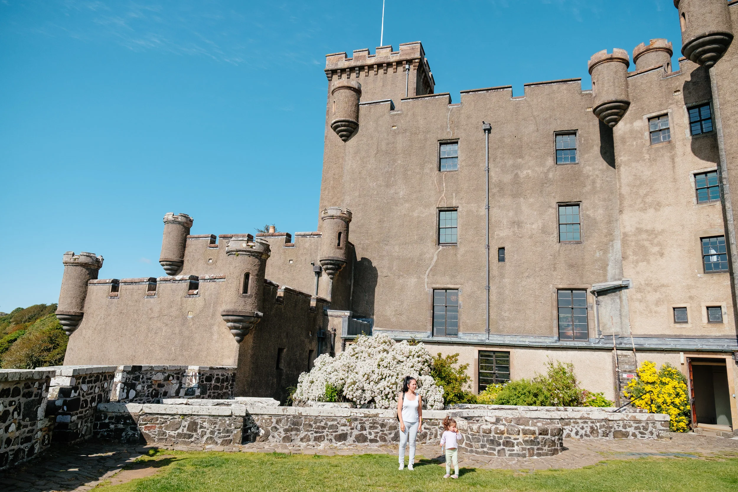
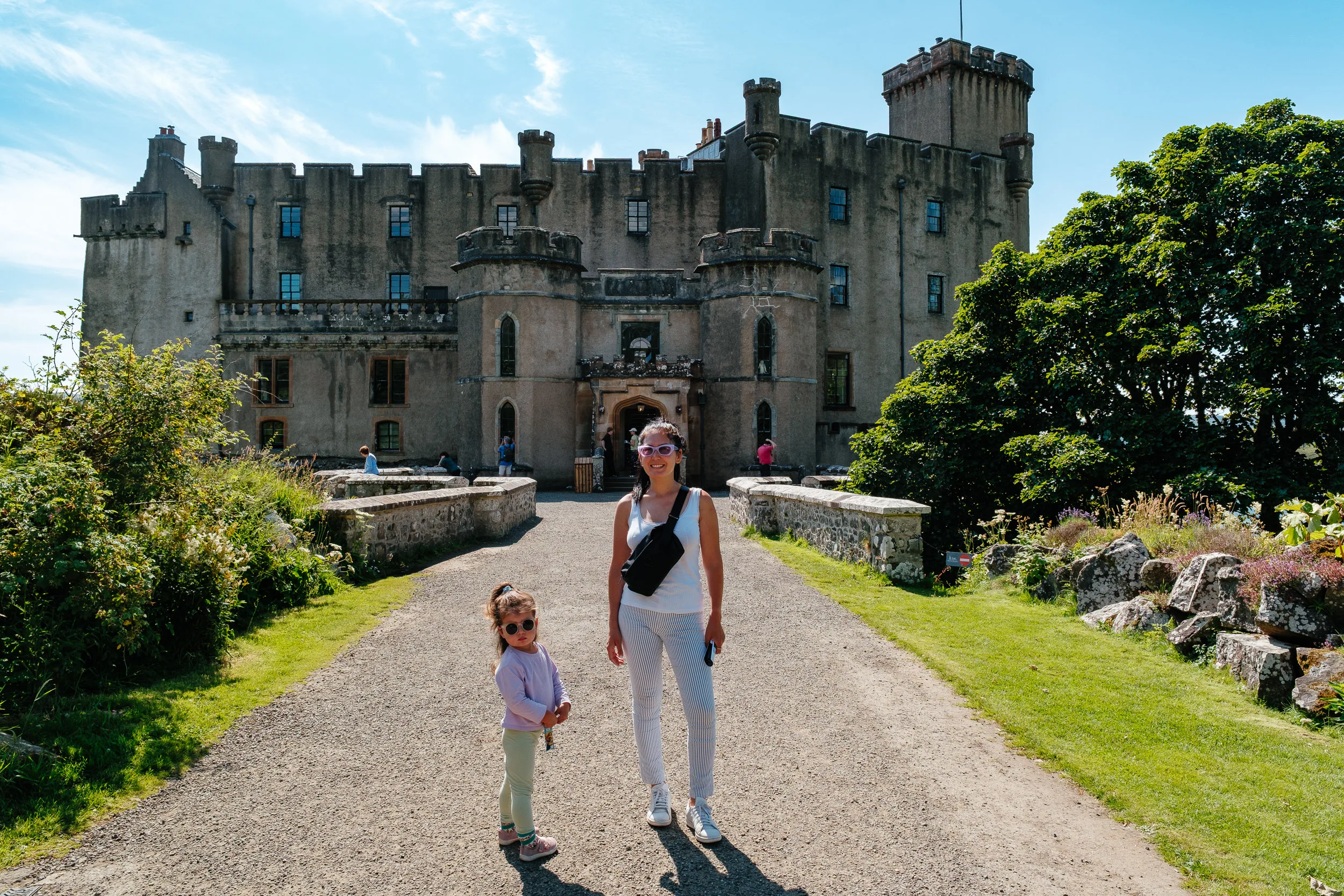
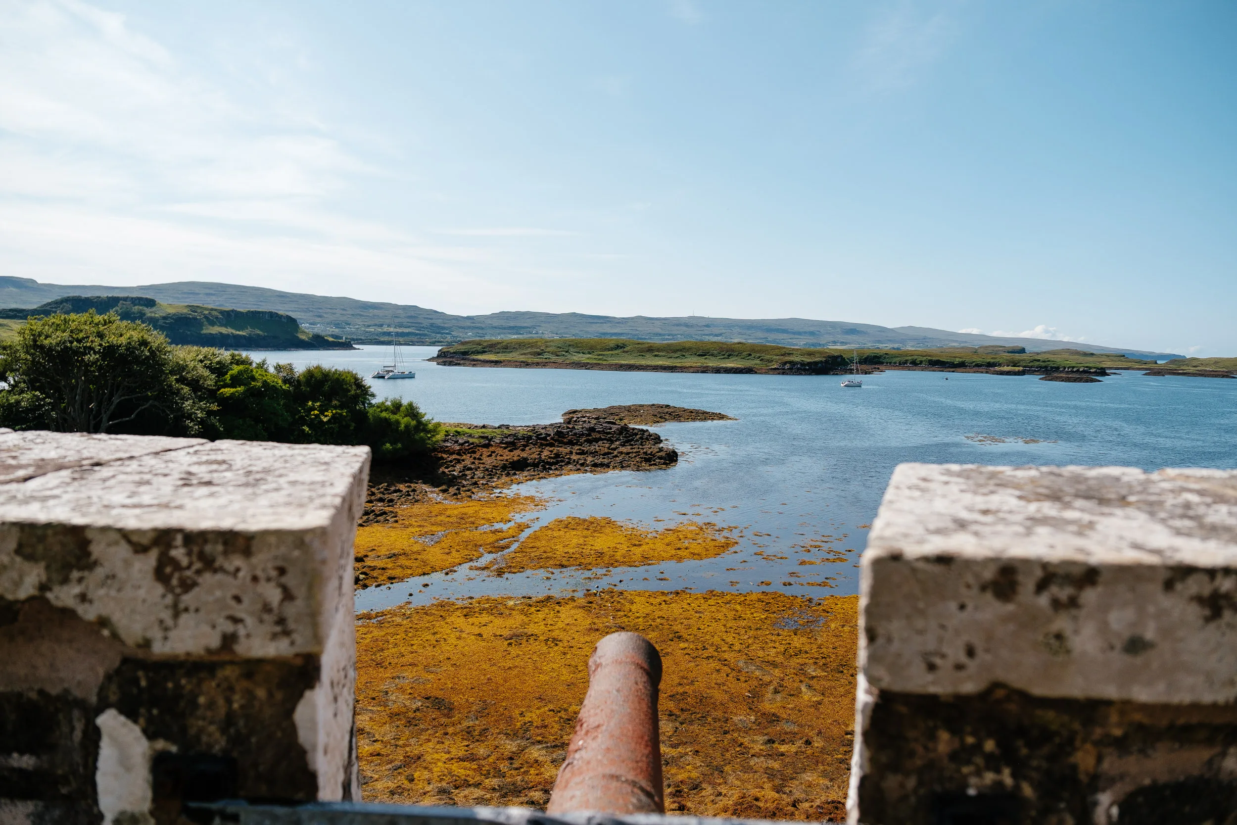
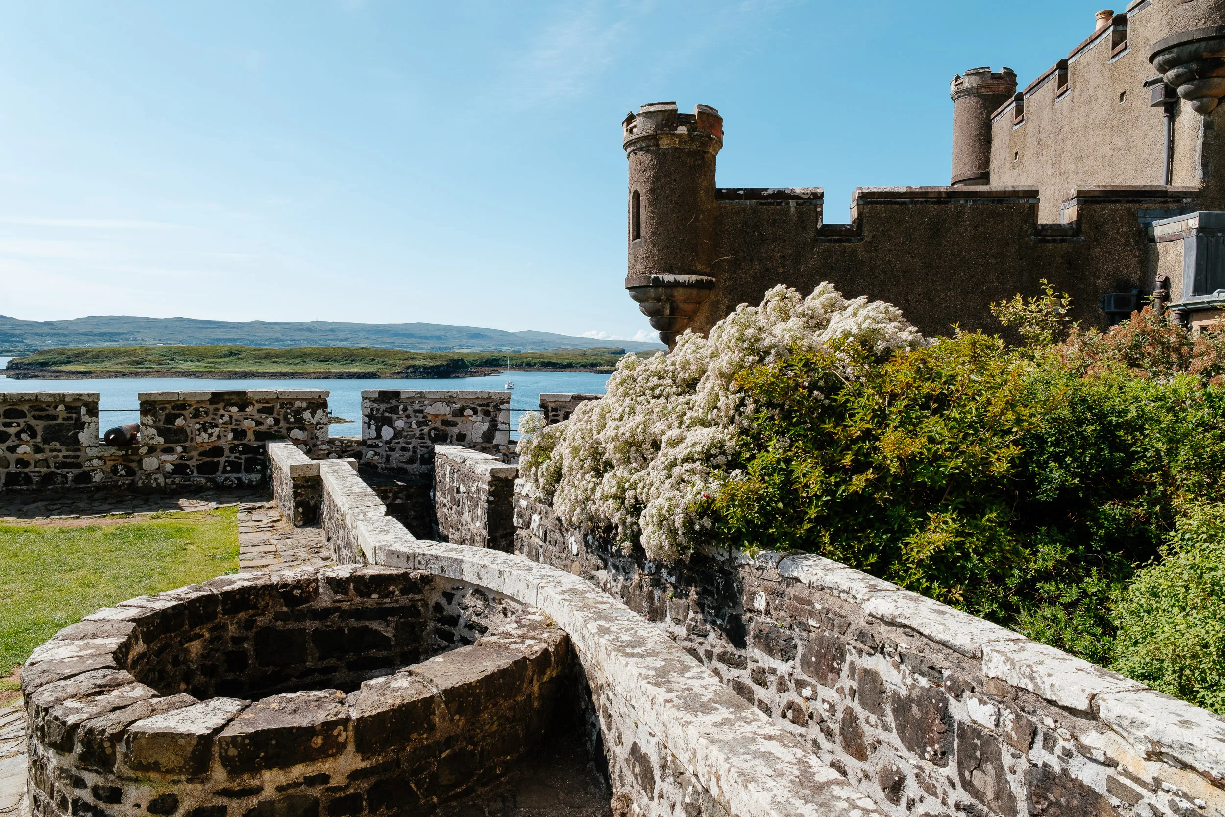
We visited Dunvegan Castle, seat of the chiefs of Clan MacLeod for around 800 years, with the present structure dating to roughly 1266, and generally described as the oldest continuously inhabited castle in Scotland. Its great treasure is the Fairy Flag, a tattered scrap of silk that tradition says a fairy gave to a MacLeod chief as she left him, promising that if it were waved in times of danger, help would come, three times only. Above the staircase is the clan crest, a bull’s head with the motto “Hold Fast.”
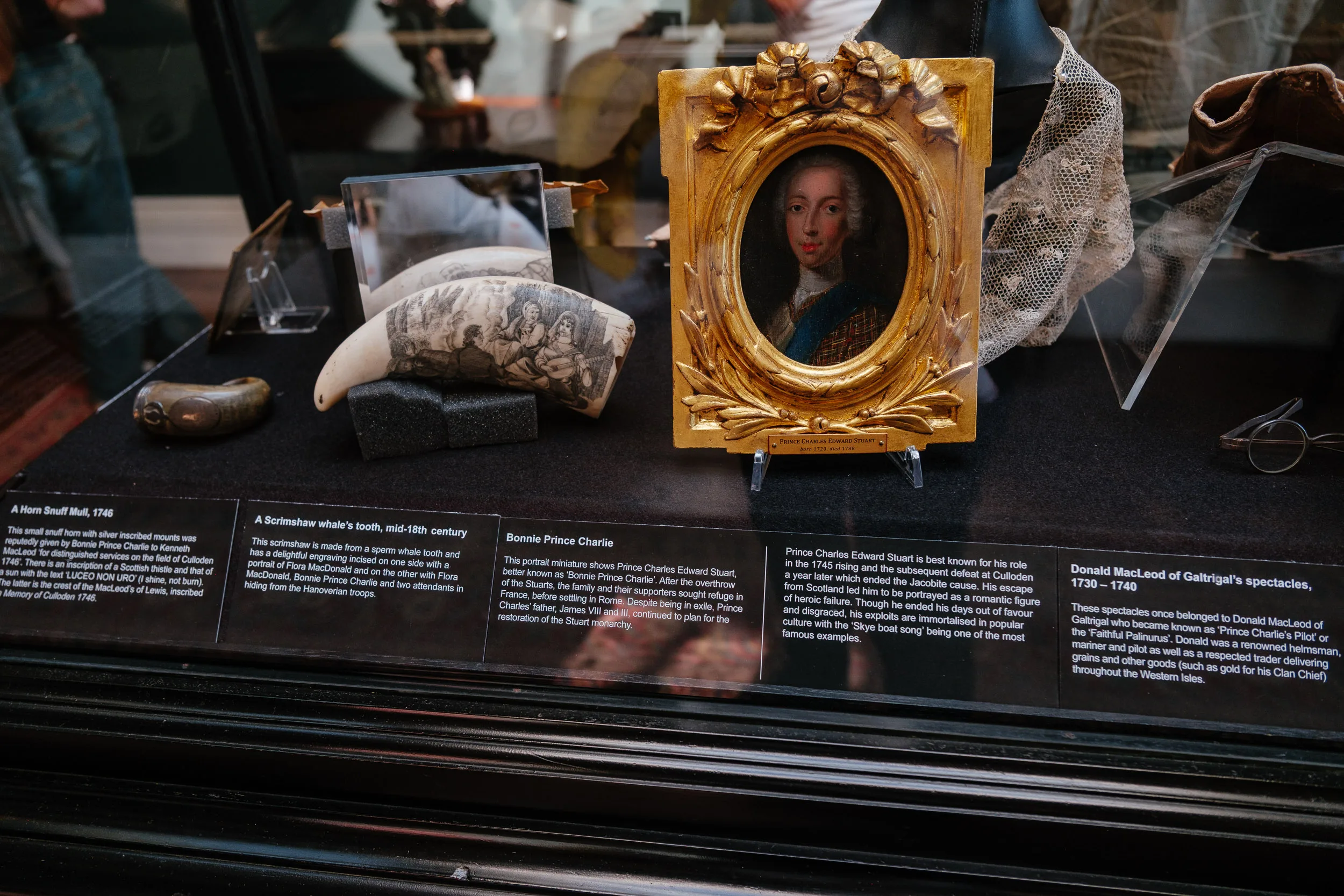
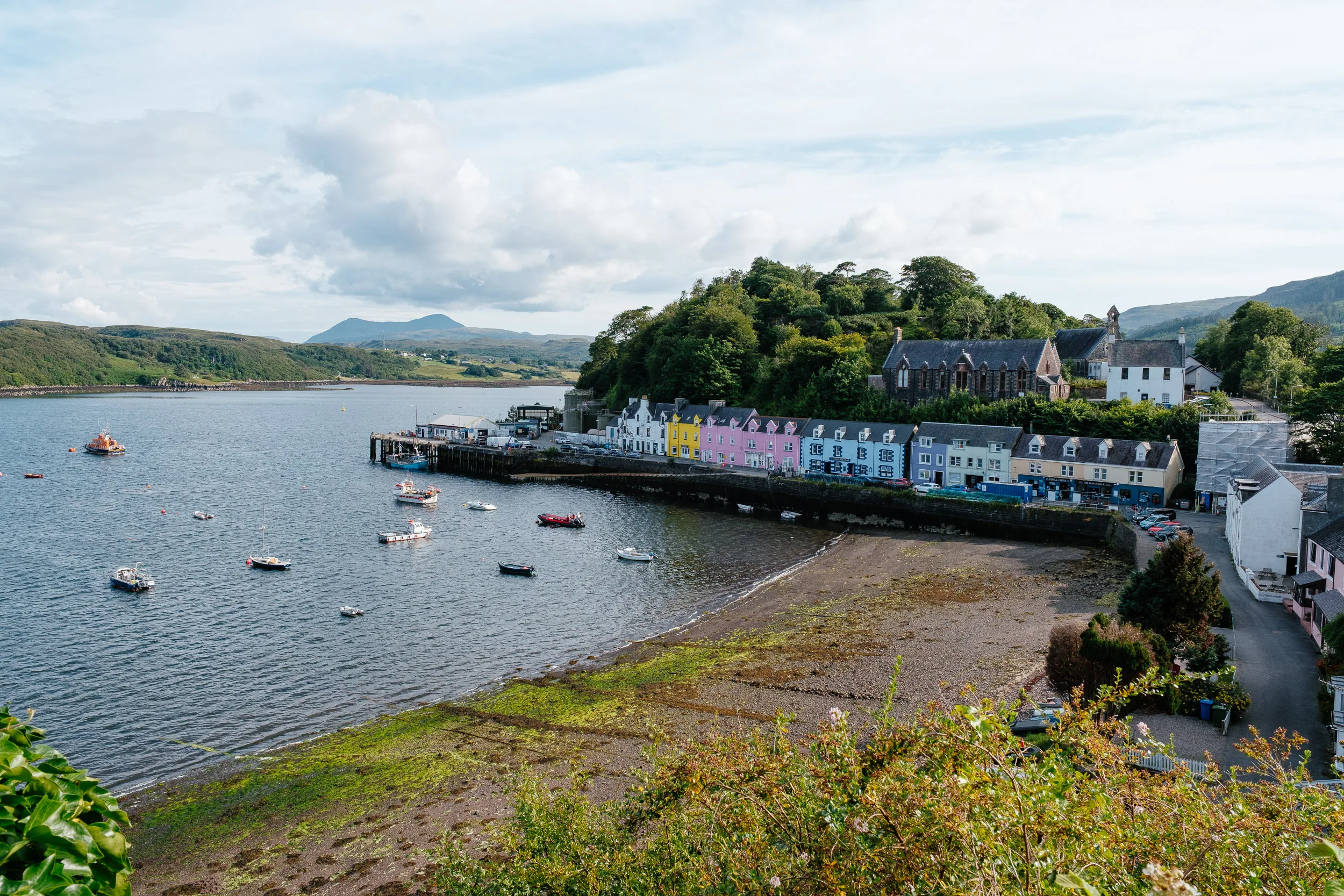
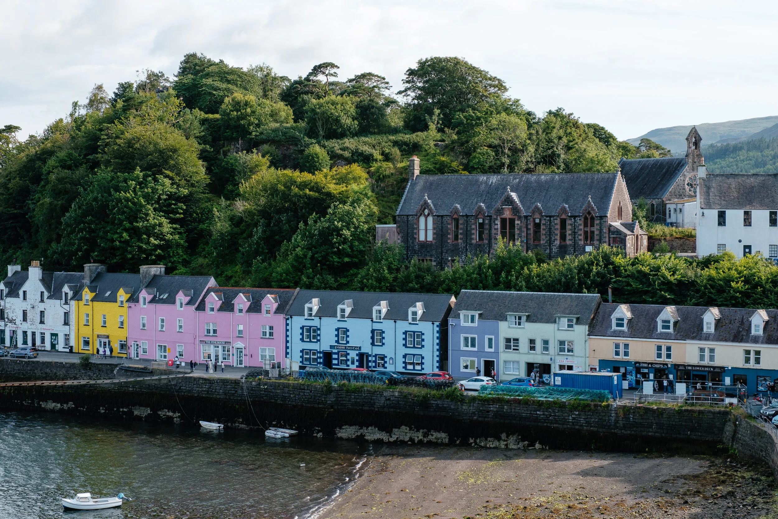
Finally we stopped in Portree, the main town on the island. Its name comes from the Gaelic Port Rìgh, “King’s Port,” traditionally dated to a visit by James V and a fleet of warships in 1540, sent to persuade the island clans to fall in behind him. And the poem caught up with us again: the Royal Hotel on Bank Street was formerly MacNab’s Inn, where Bonnie Prince Charlie said his last farewell to Flora MacDonald in 1746, after she had famously carried him over the sea to Skye.

Ben Wyvis National Nature Reserve, Loch Ness, Culloden & Inverness
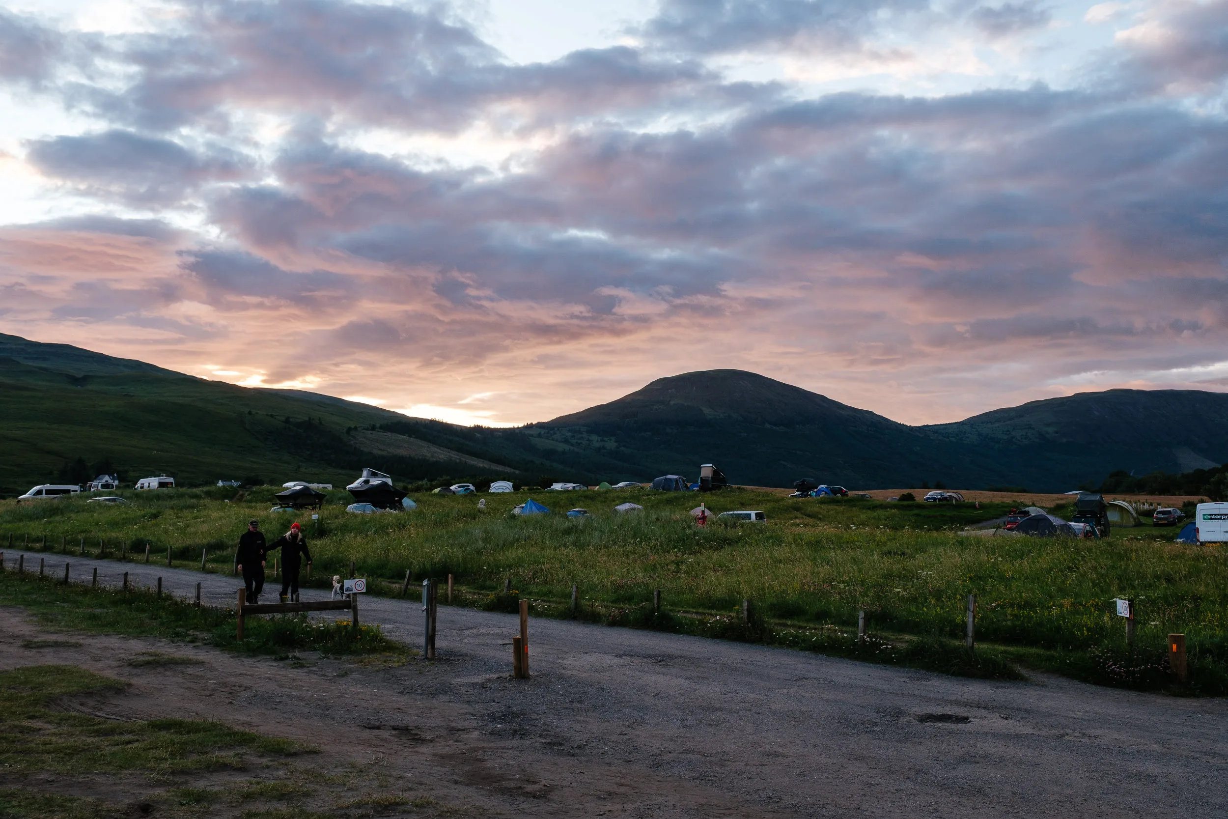
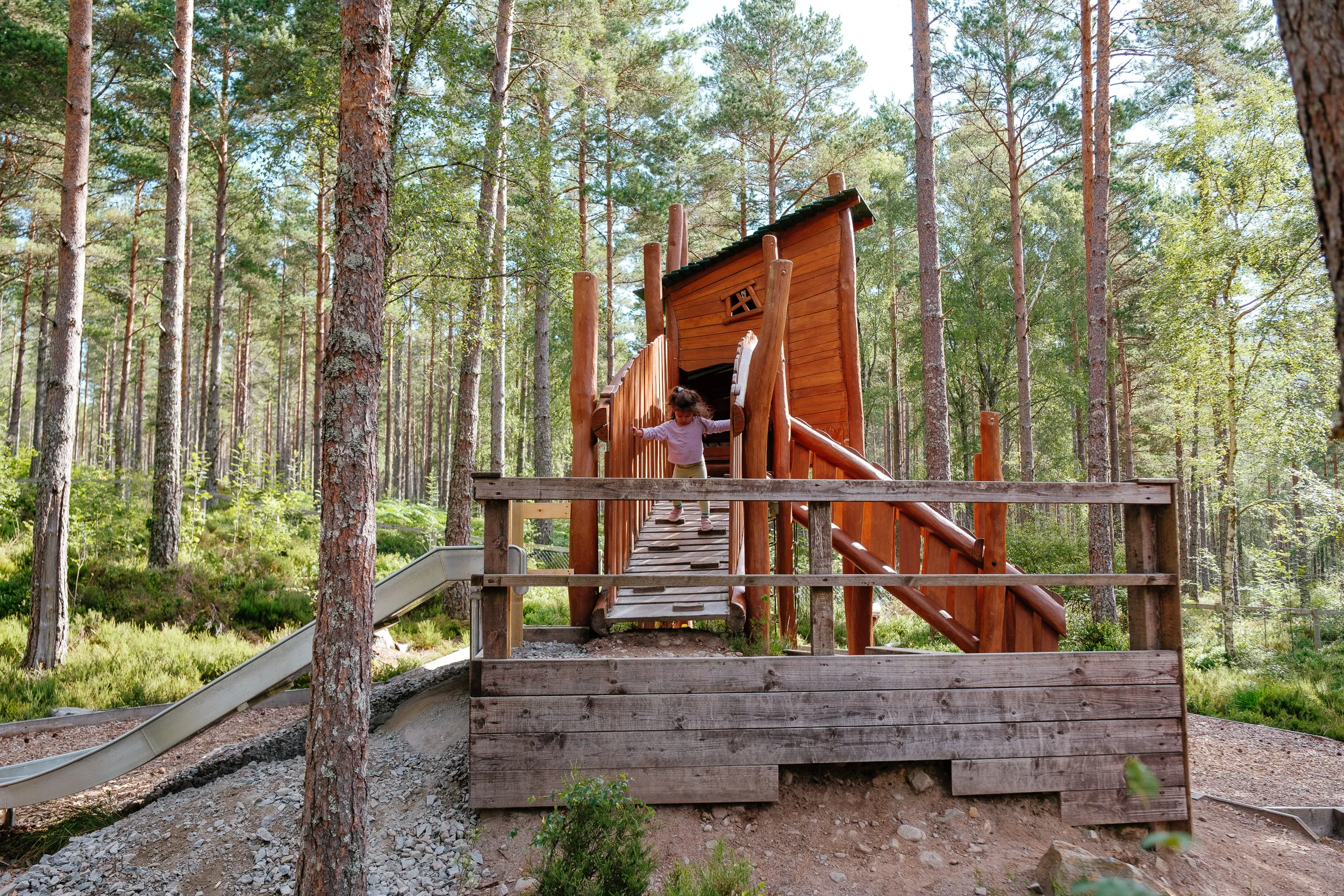
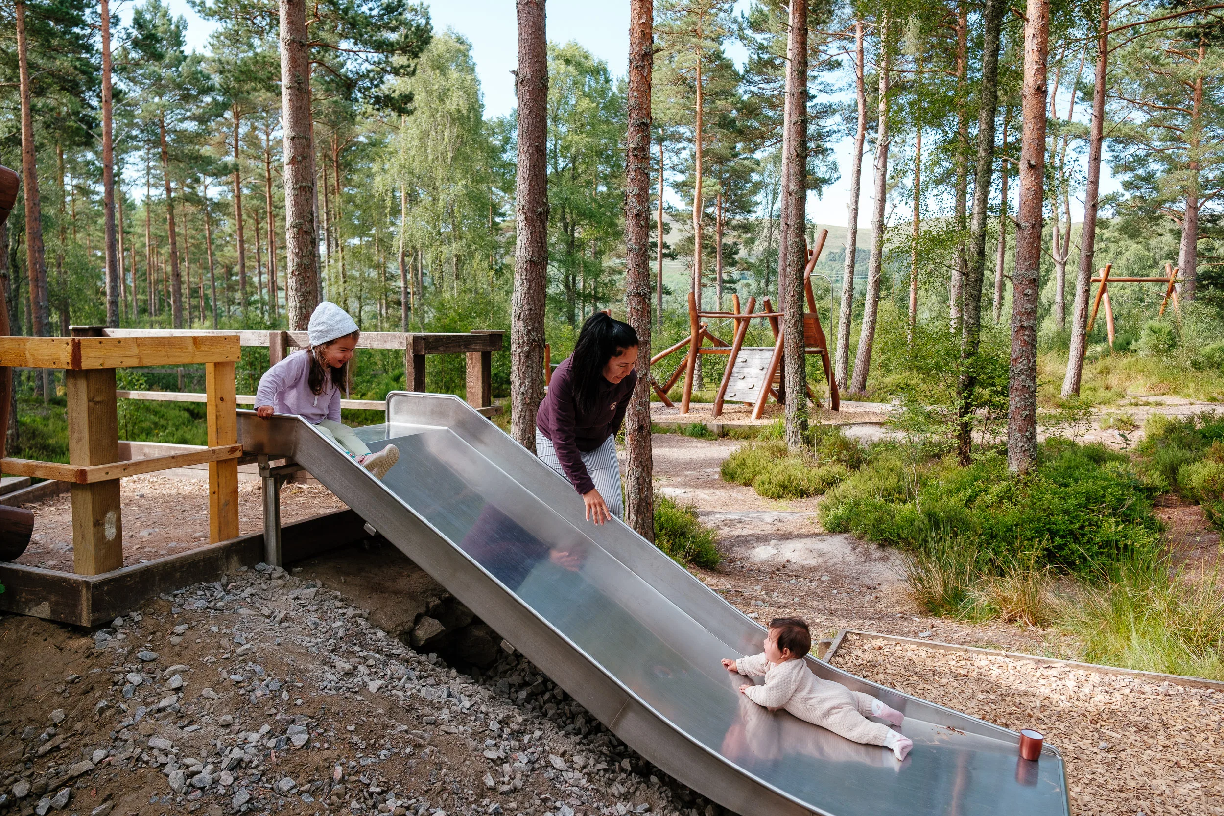
Our next stop was Ben Wyvis National Nature Reserve, just north of Inverness, where we camped for the night. There we found an absolutely gorgeous playground in the middle of the forest: everything built in wood, looking brand new, and completely empty. Sierra had a lot of fun there.
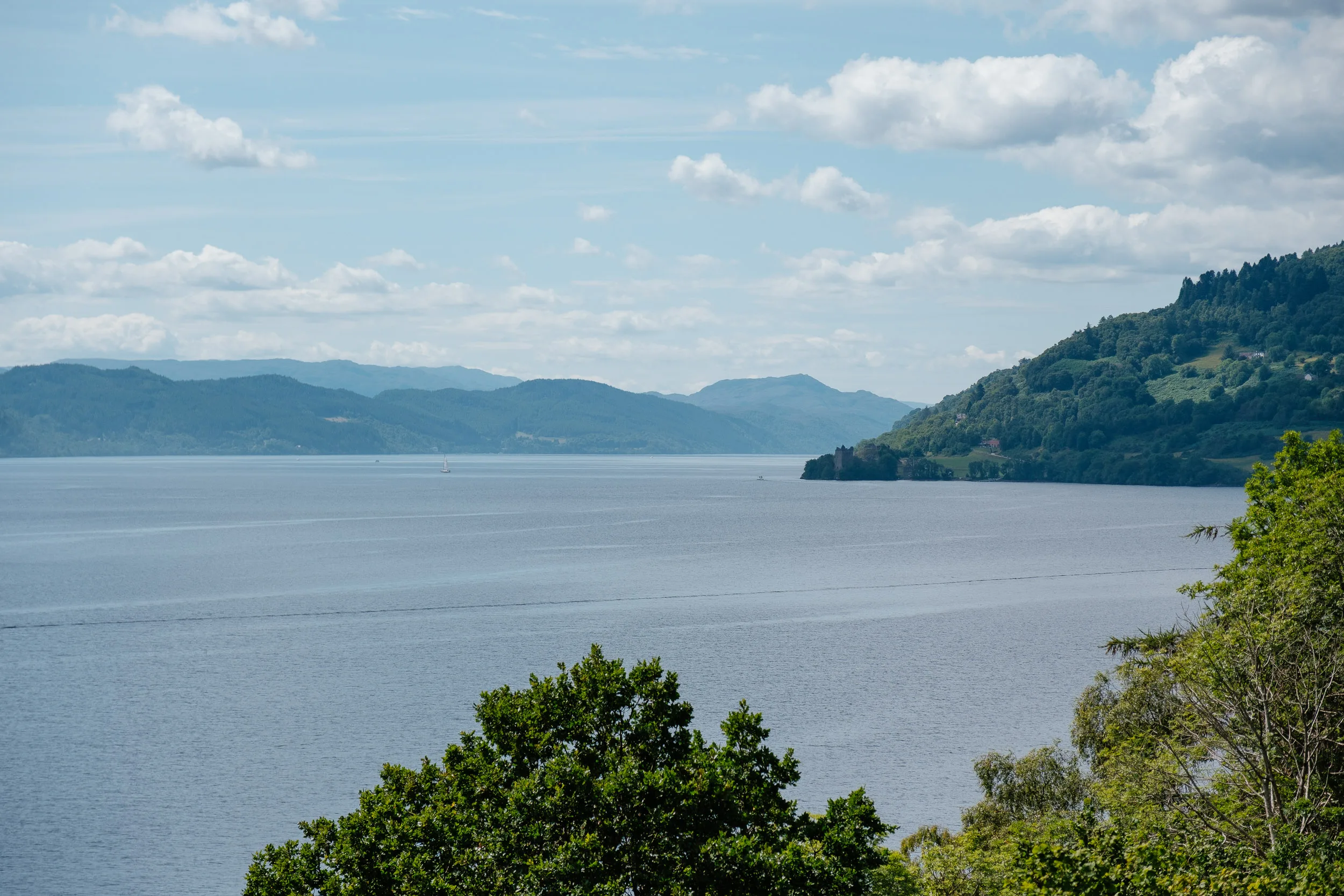
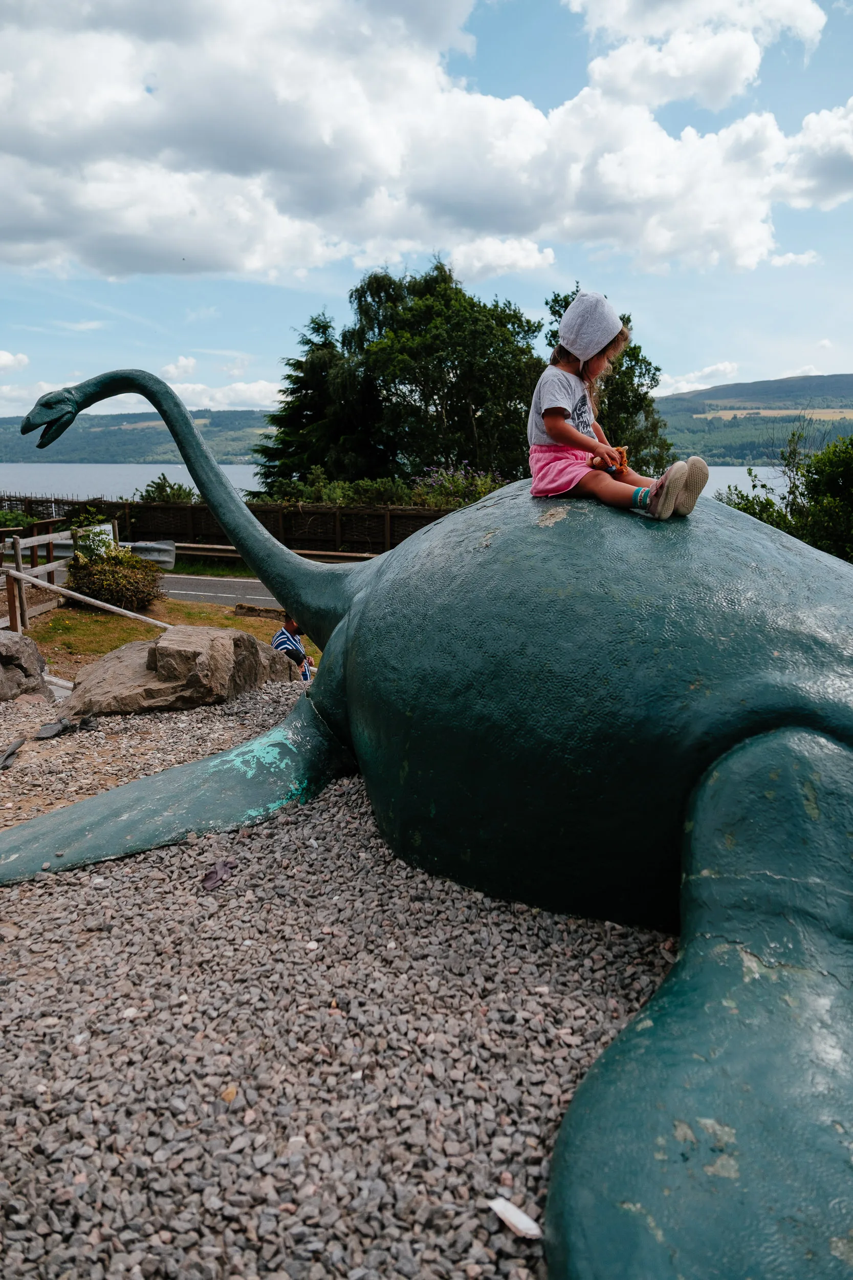
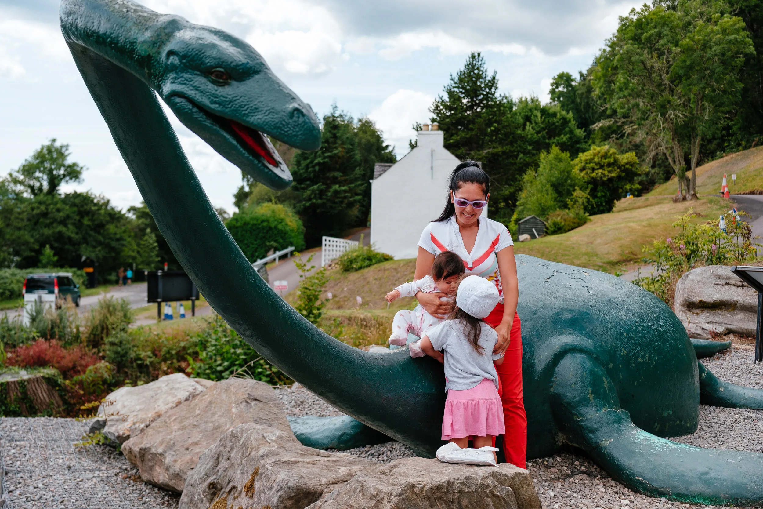
We drove along the banks of Loch Ness and even spotted, Nessie, the famous monster!
Loch Ness is the second-largest Scottish loch by surface area after Loch Lomond, but because of its depth it holds more water than all the lakes in England and Wales combined, reaching 754 feet at its deepest. The water is stained dark by peat washed off the surrounding hills, so visibility underwater is close to nil, good conditions for hiding.
As for Nessie: the earliest written record is from 565 AD, when St Columba is said to have driven a beast back into the water. The modern legend really began in 1933, after a new road along the shore gave people a clear elevated view of the water for the first time. The famous 1934 “Surgeon’s Photograph” held up for sixty years, until model-maker Christian Spurling confessed in 1994 that he had built the creature from a toy submarine fitted with a sculpted head.
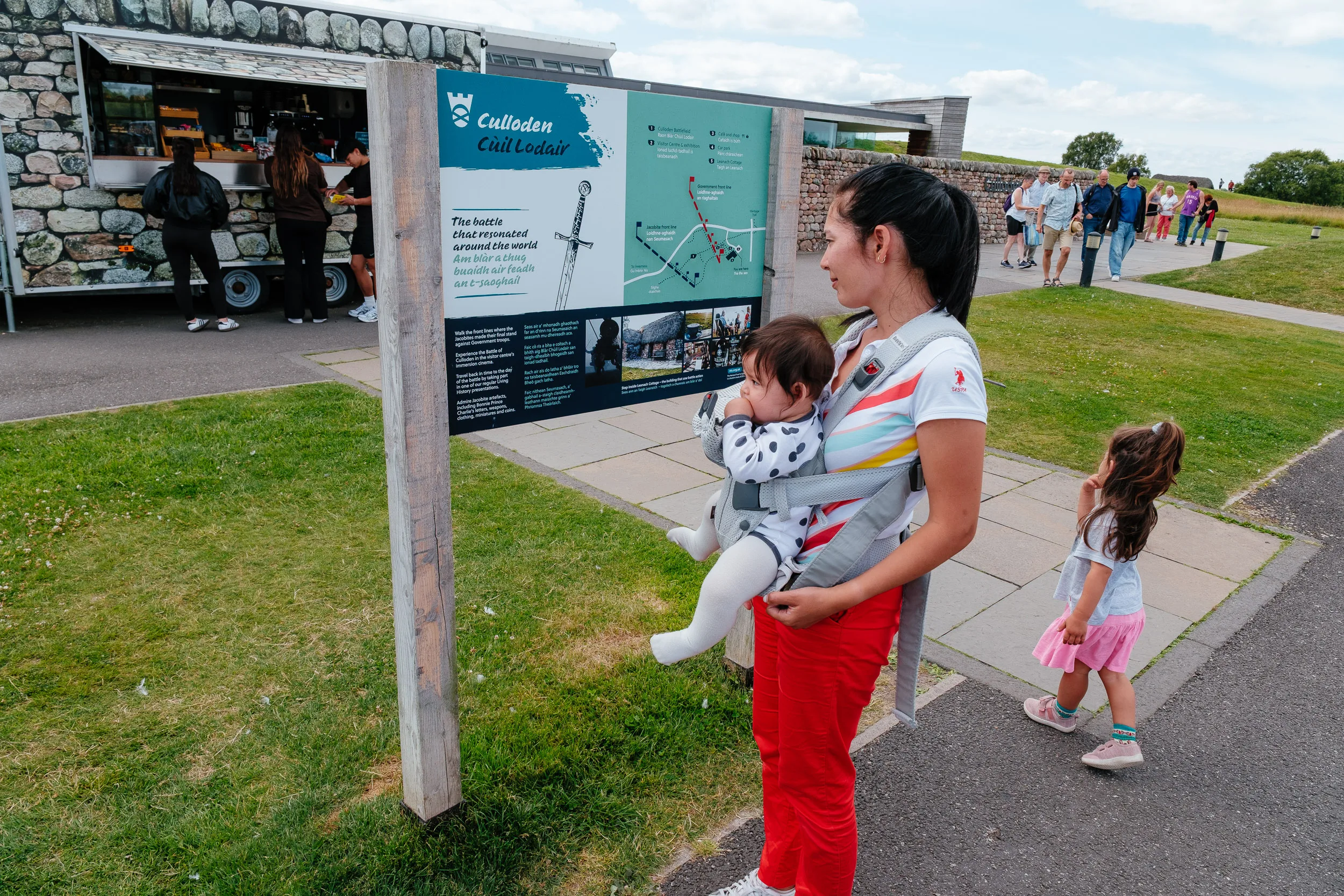
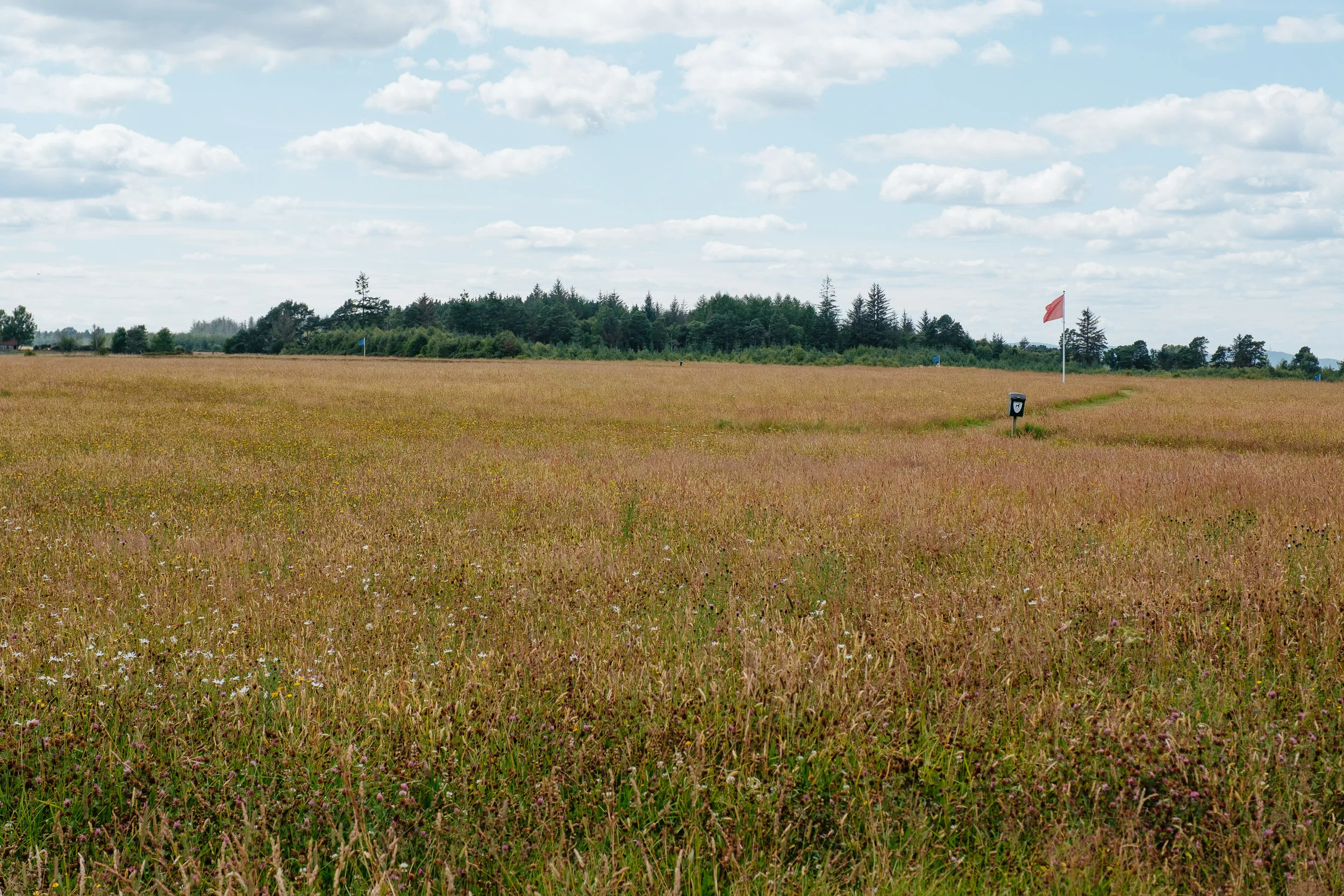
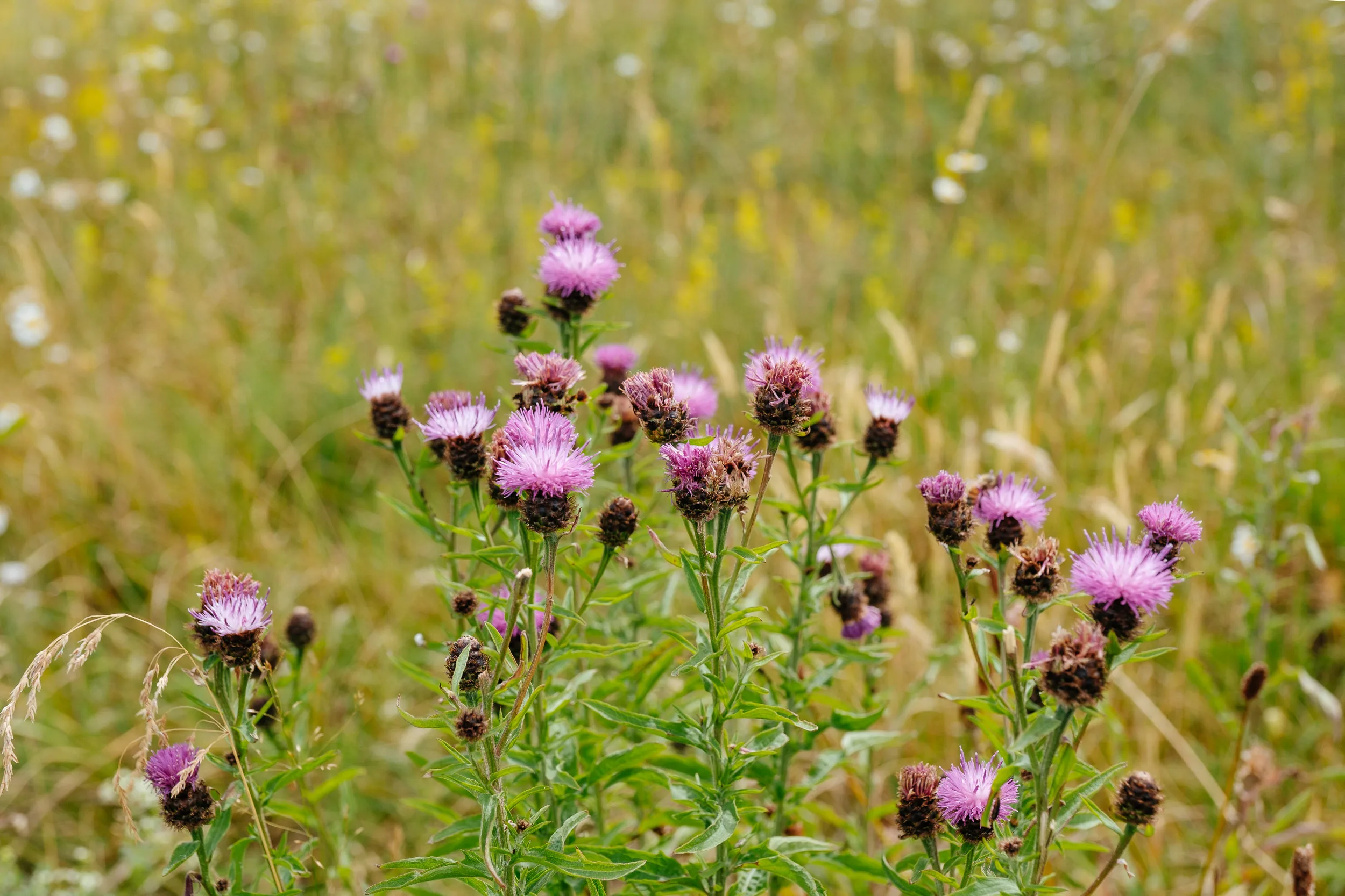
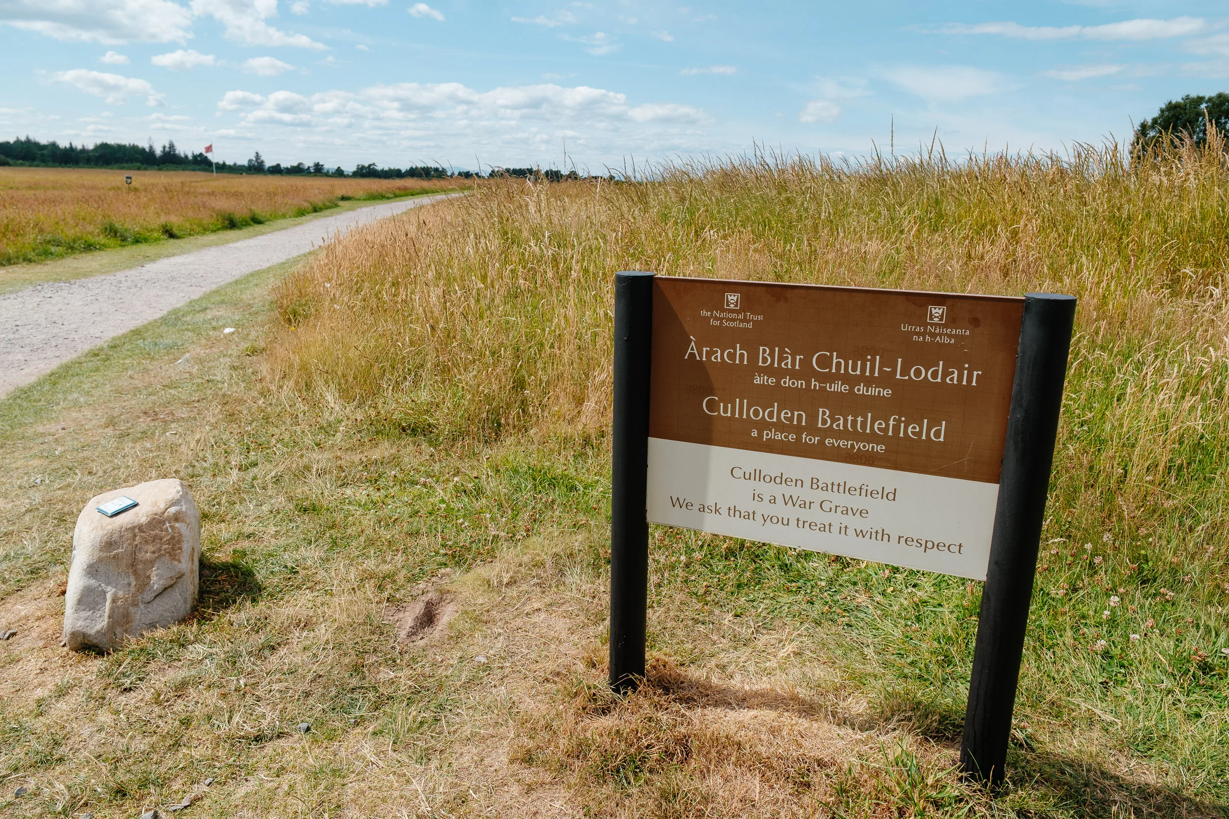
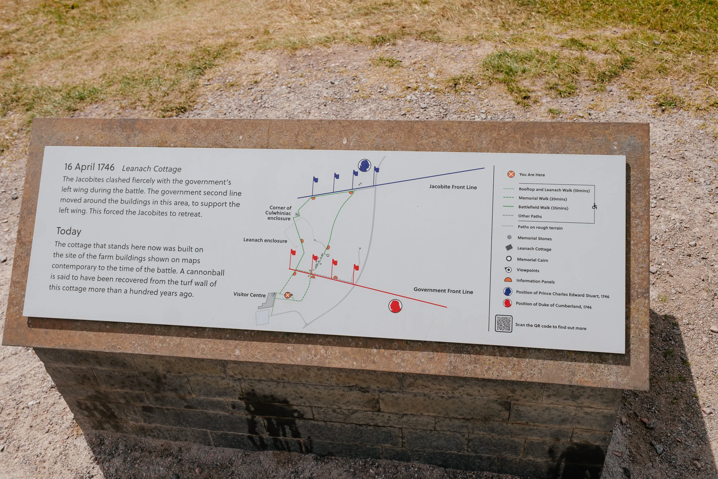
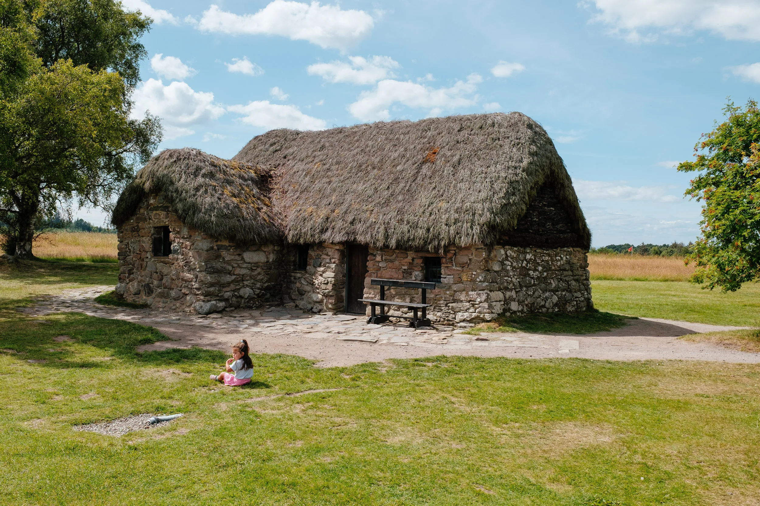
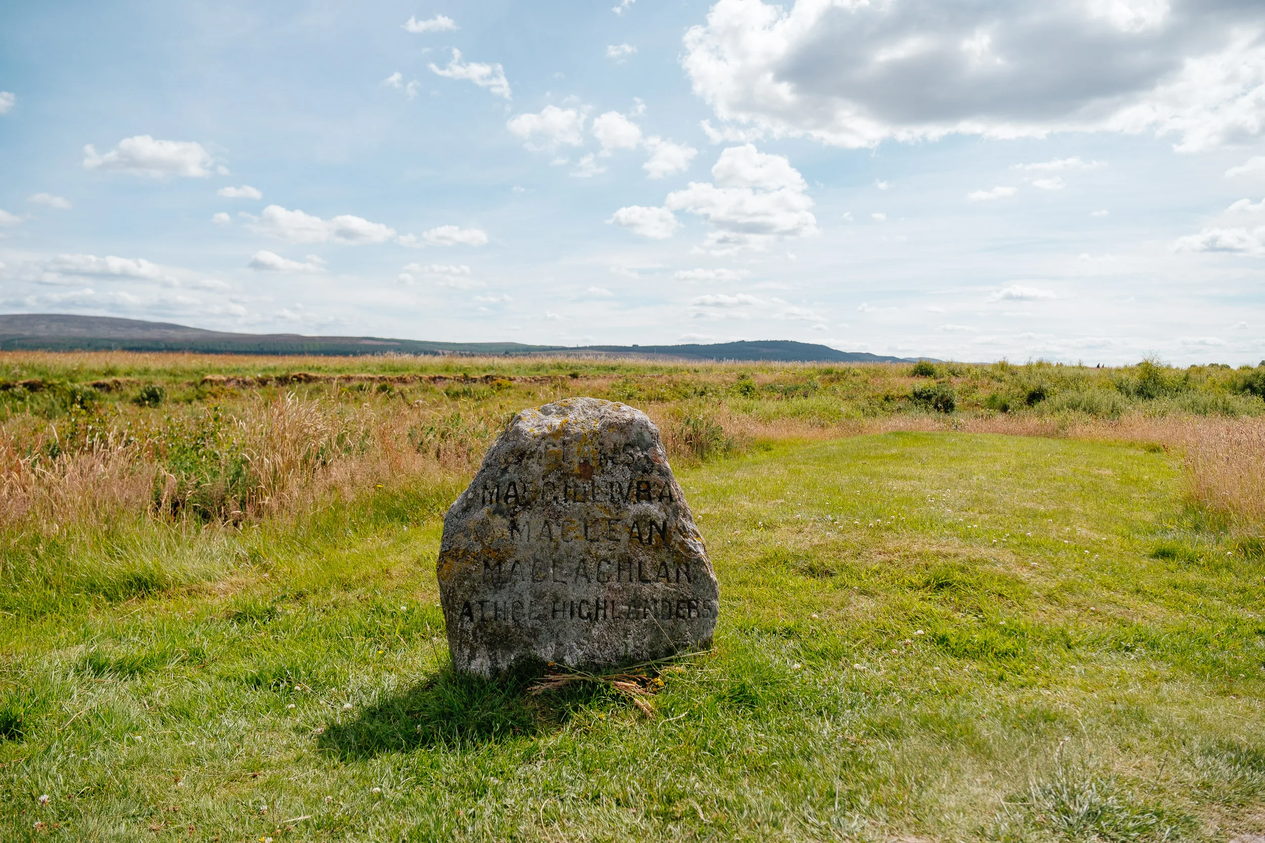
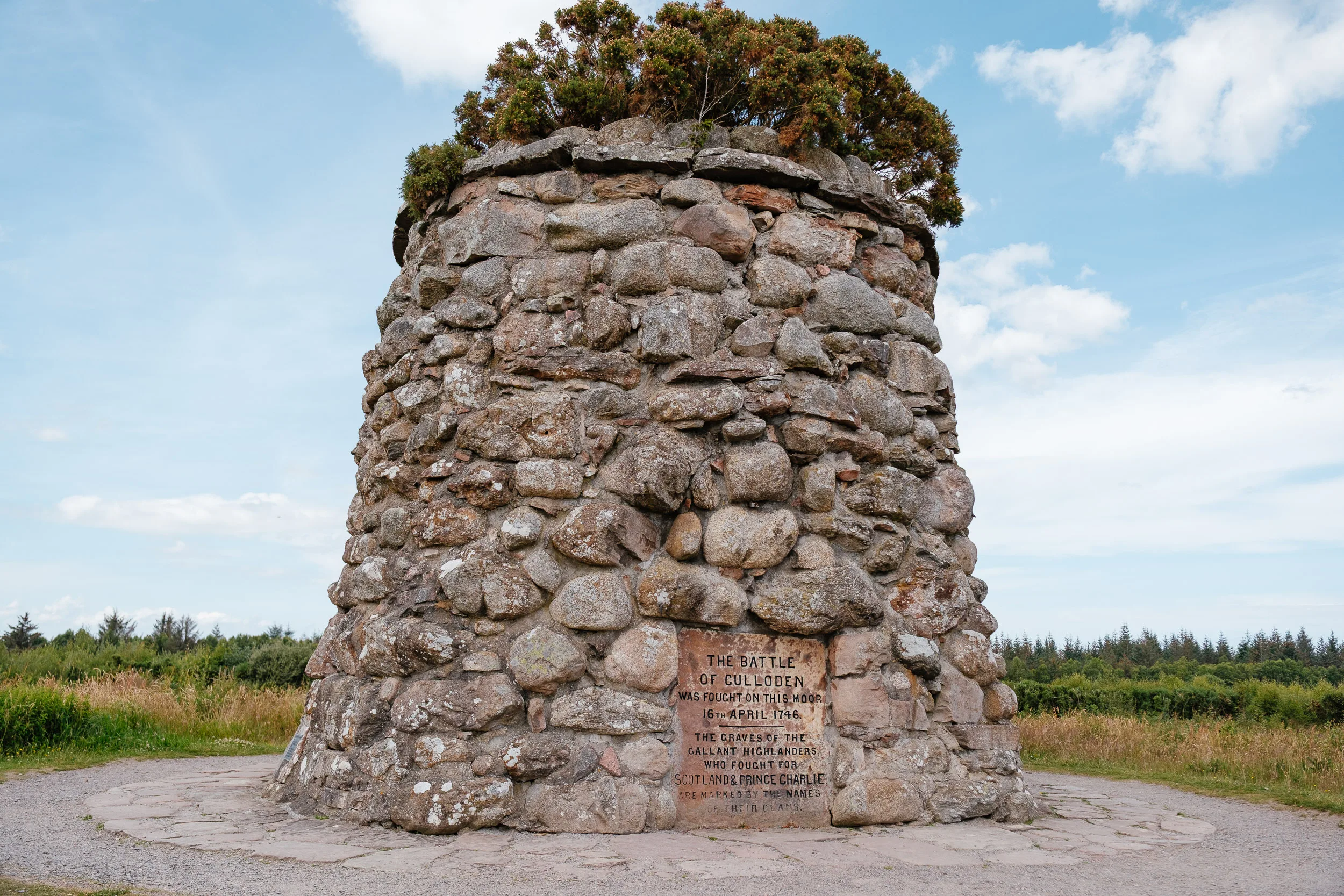
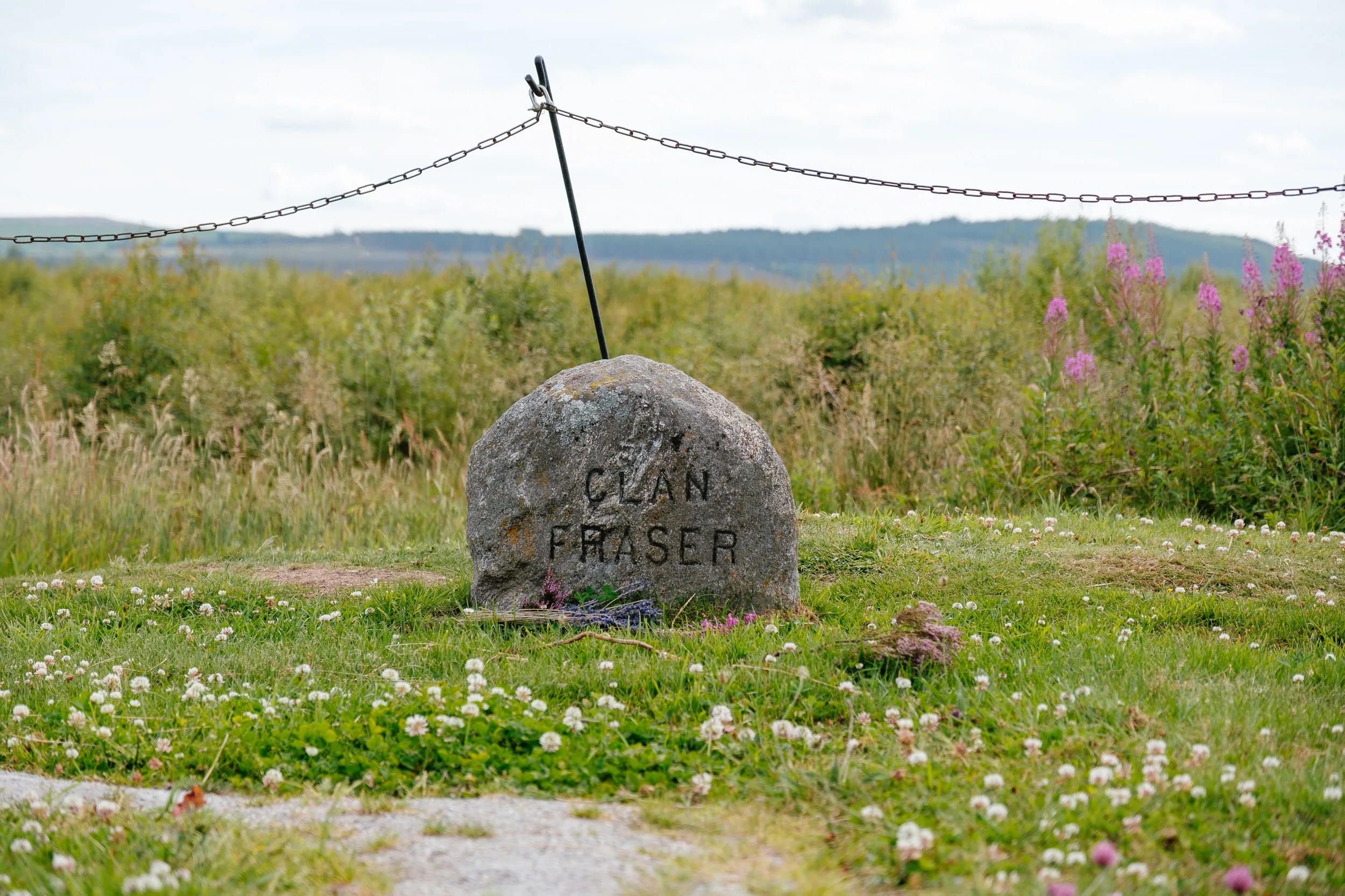
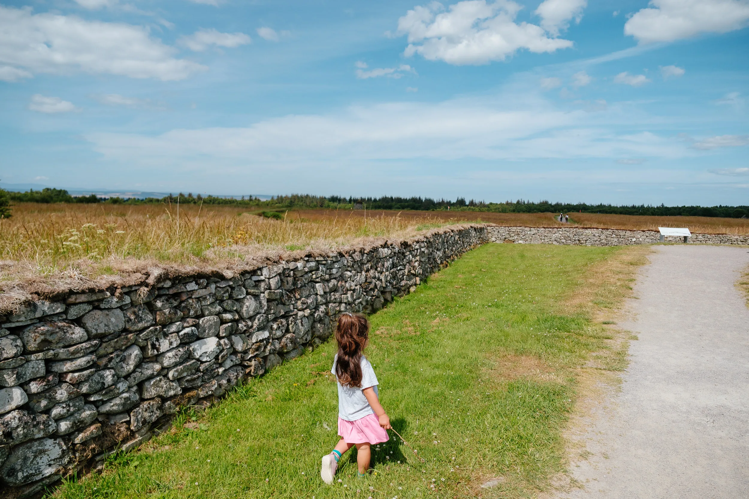
We then visited the field where the Battle of Culloden was fought, and it is the most sobering place we went. On 16 April 1746 the battle lasted only about forty minutes; roughly 1,000 of the Jacobite army of 5,000 weak and starving Highlanders were killed by 9,000 government troops, who lost around 50 men. The pursuit continued all the way to Inverness. What came after was worse than the battle: the Act of Proscription banned the wearing of tartan, the bearing of arms and the playing of bagpipes; chiefs were stripped of authority and estates forfeited; prisoners were executed, exiled or imprisoned; and the Duke of Cumberland earned his nickname, “the Butcher,” for the ruthlessness of the suppression. The clan system never recovered, and mass emigration followed. The battlefield is an open stretch of moor with no ruins or fortifications, and that’s exactly where its power comes from, you can see how exposed the Jacobite advance was, with nowhere to hide.
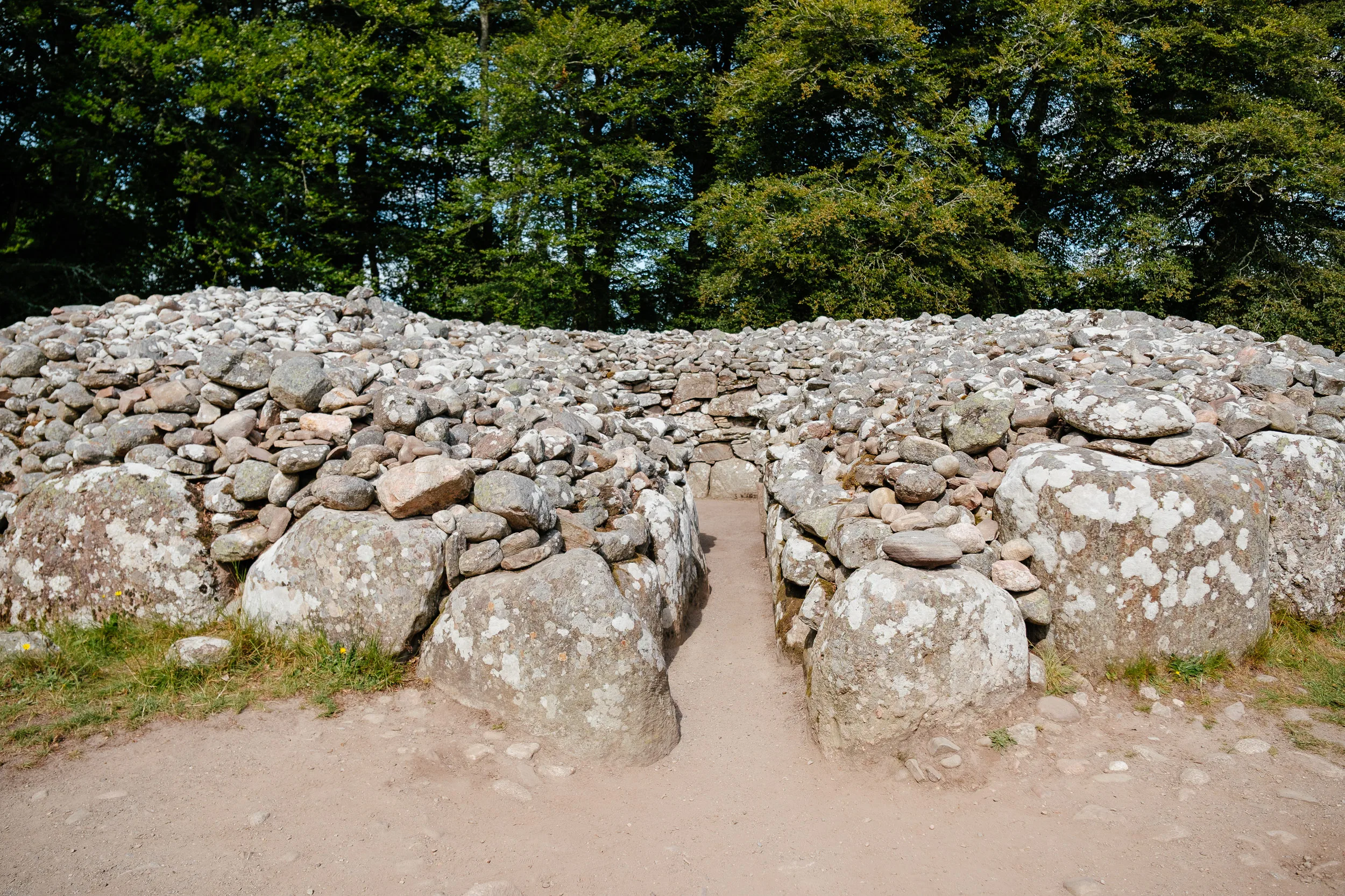
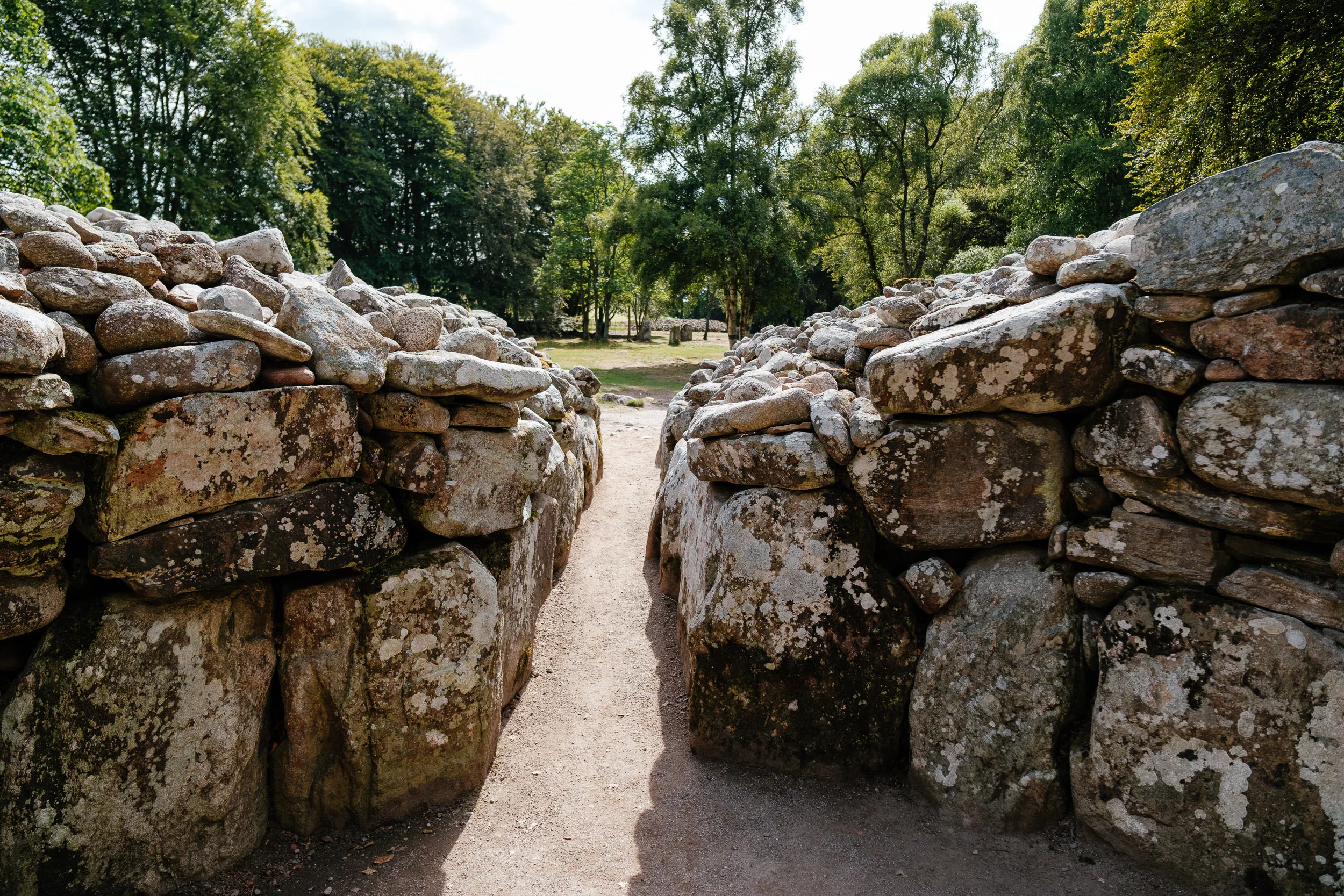
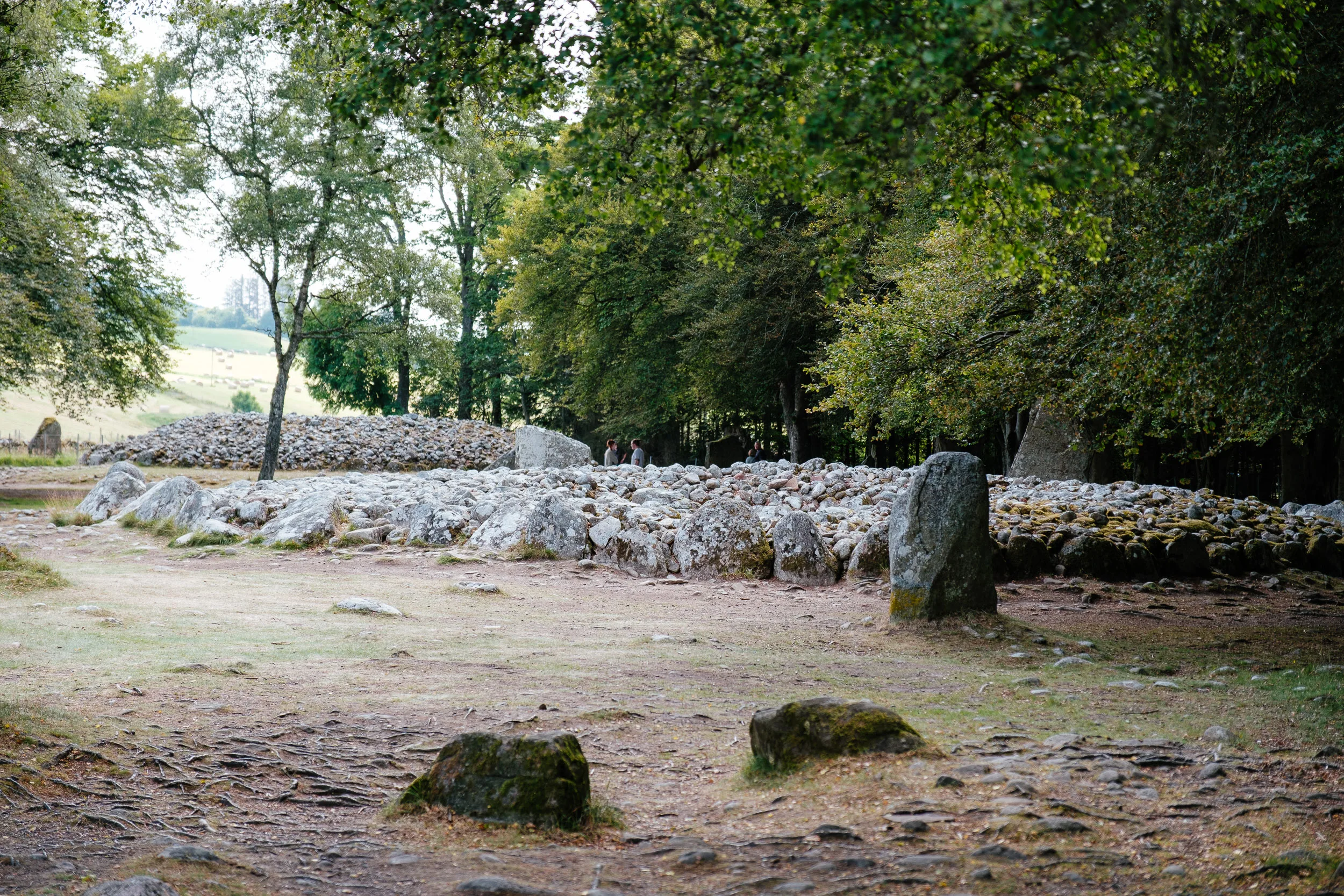
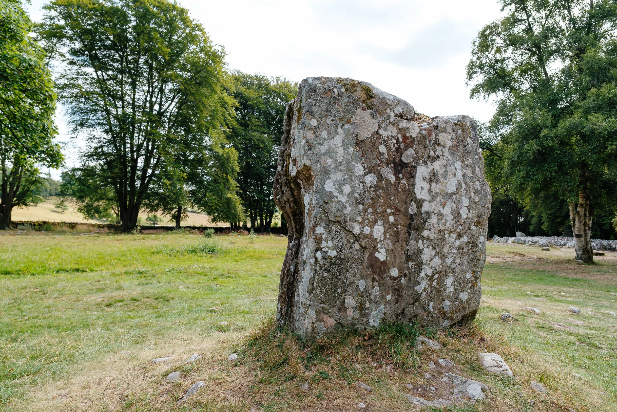
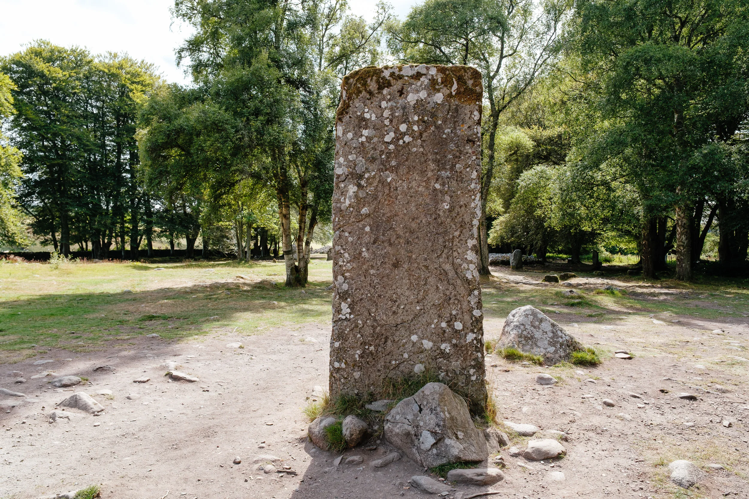
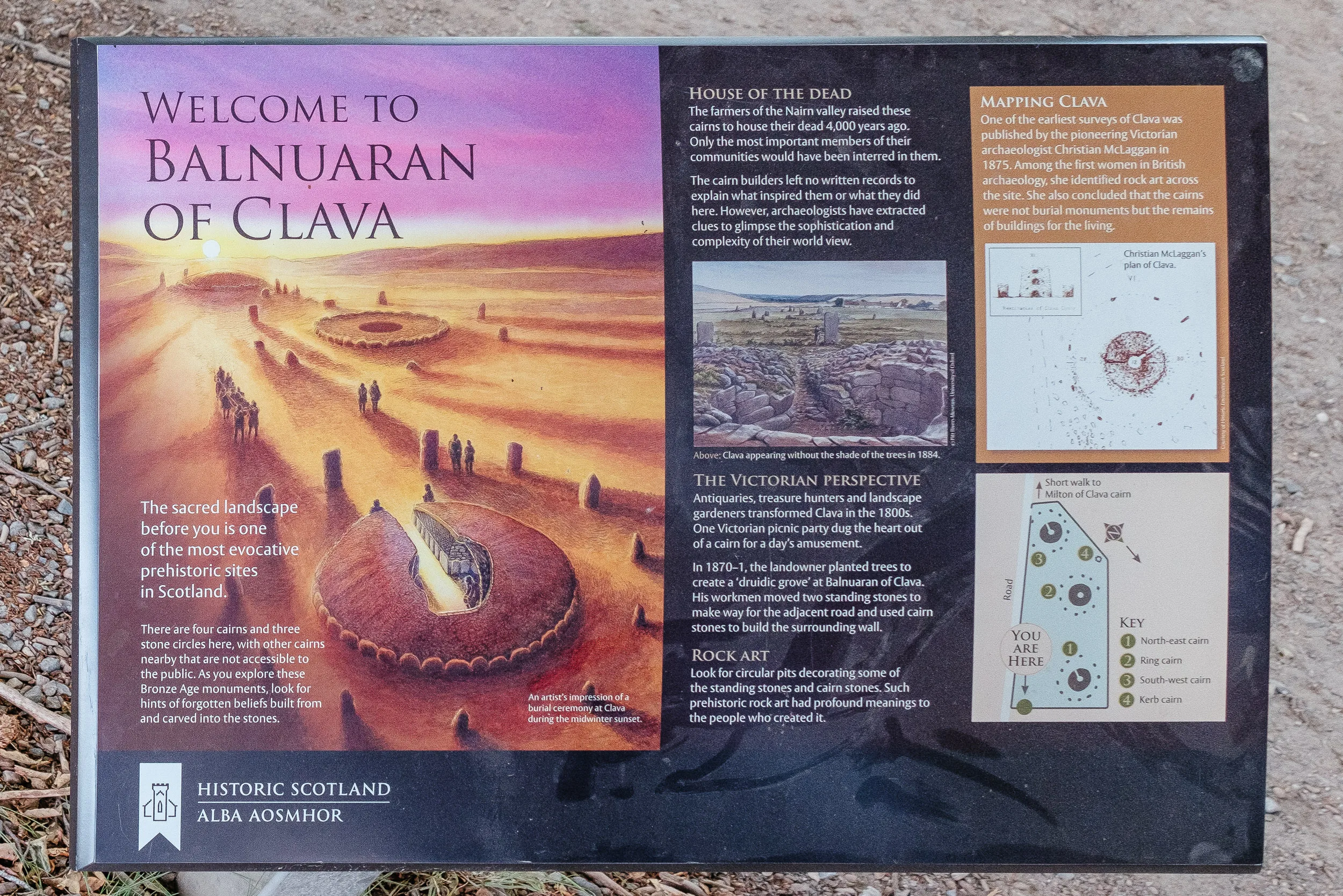
Nearby we also saw the Balnuaran of Clava, which puts everything else on this trip into perspective. The three well-preserved cairns each have a central chamber ringed by standing stones, and many of the stones carry cup marks, possibly reused from an earlier sacred site. They were built around 2000 BC, about 4,000 years ago, and the cemetery was reused a thousand years later. The builders clearly had the calendar in mind: the three cairns run in a line from north-east to south-west, the passages of two of them point south-west toward the midwinter sunset, and the standing stones are graded in height with the tallest facing the setting sun.
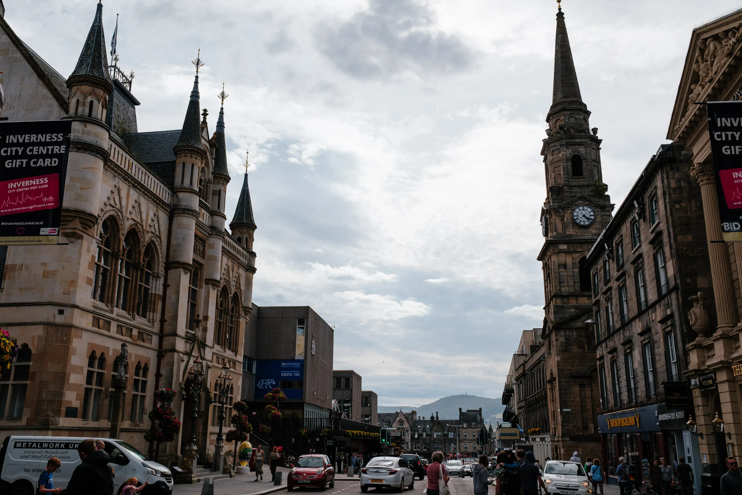
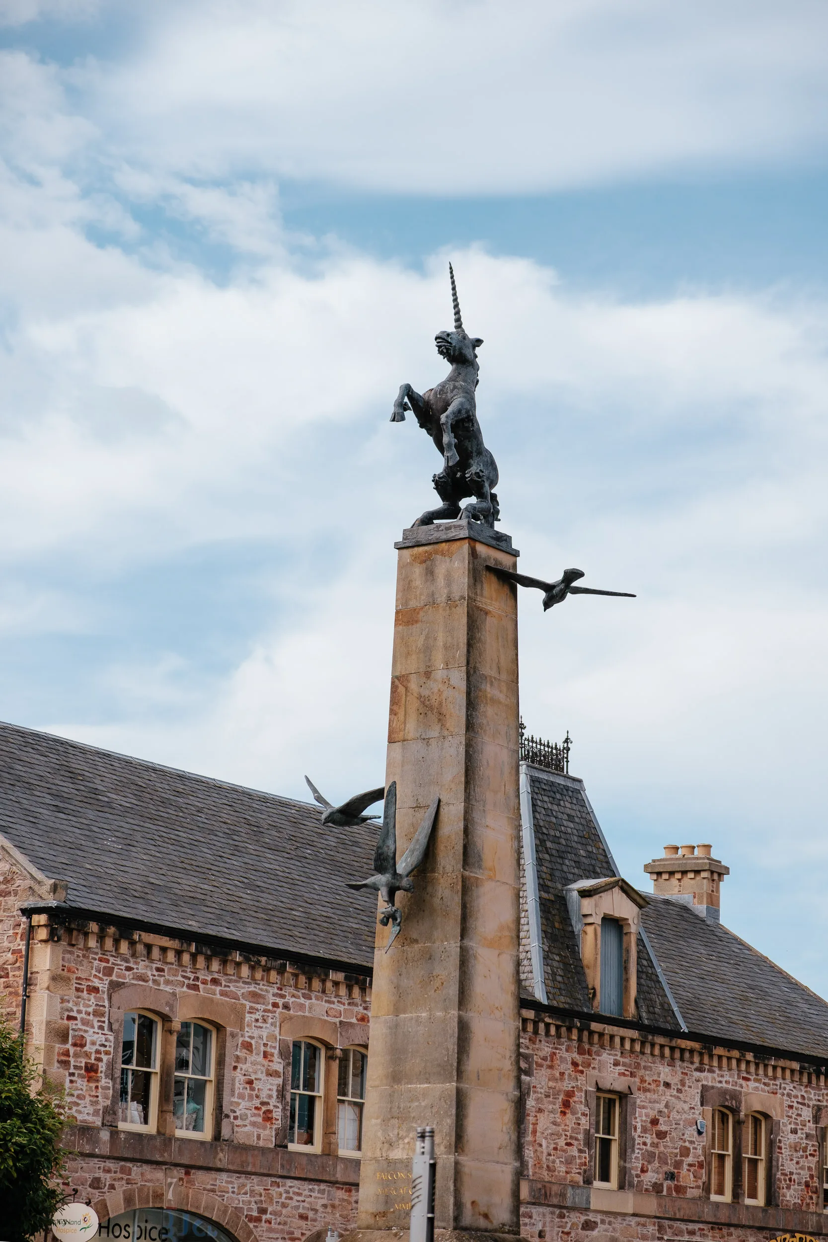
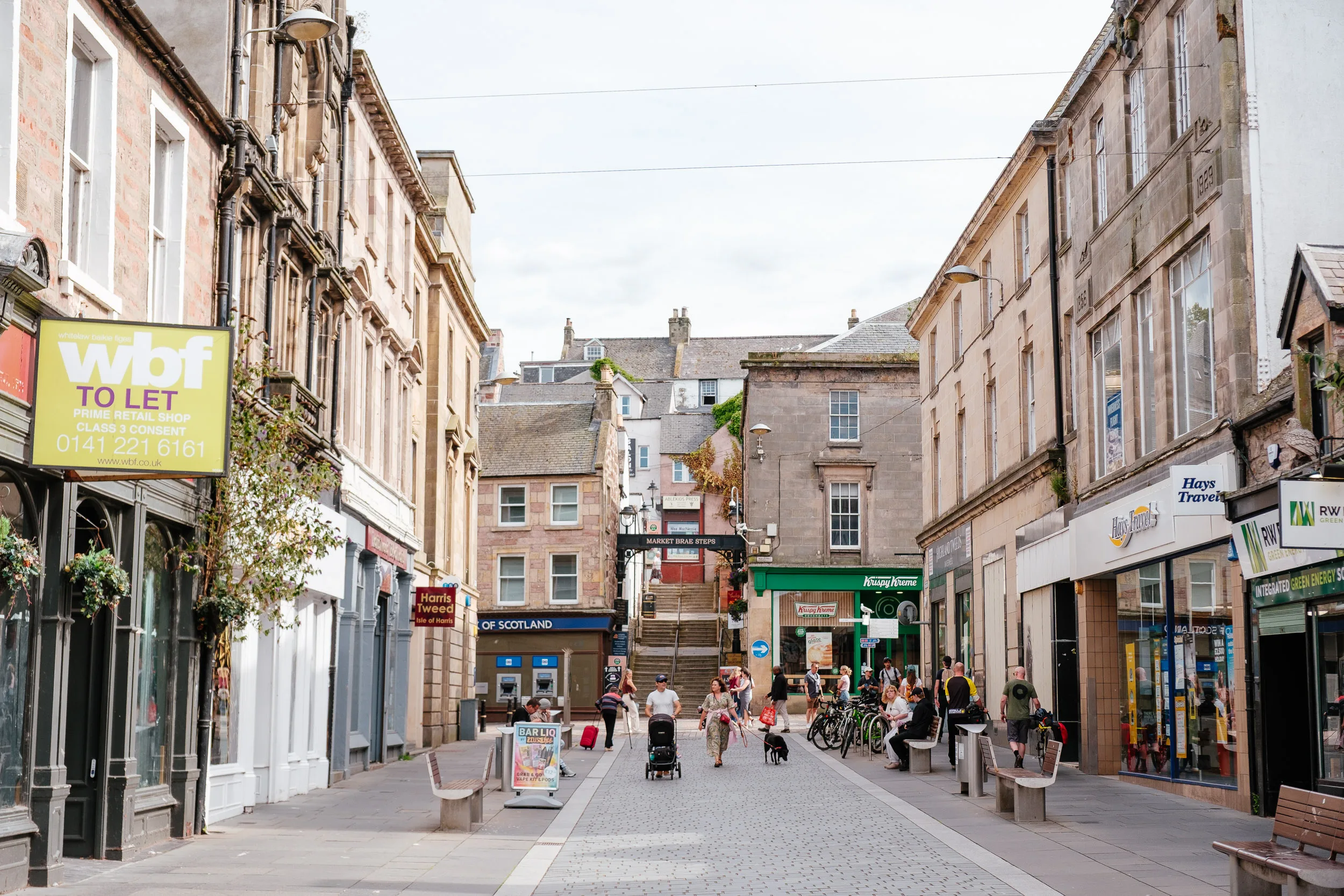
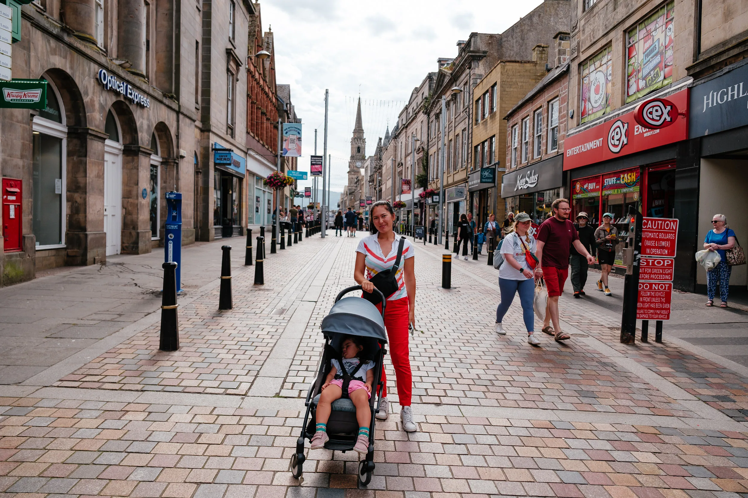
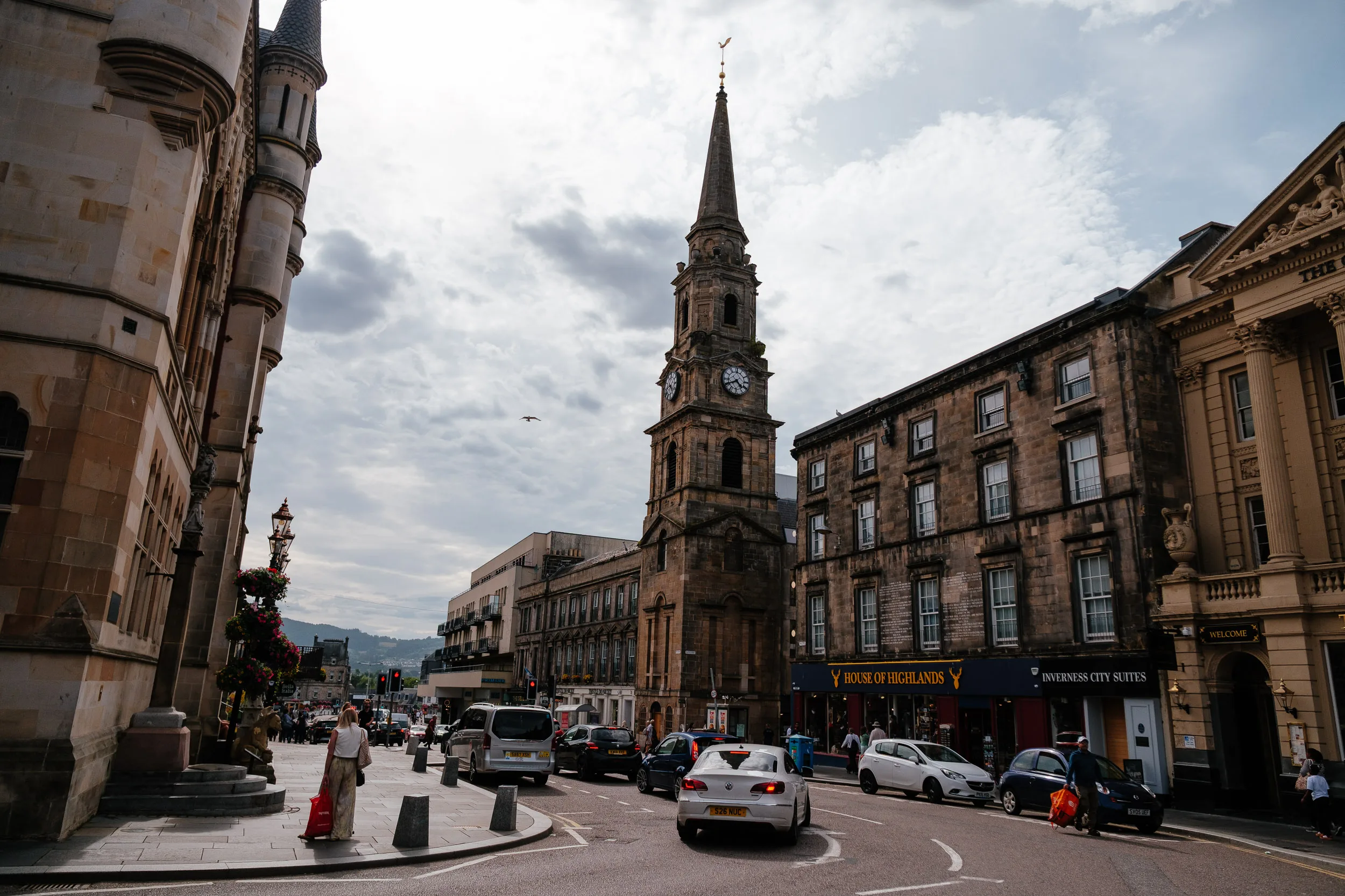
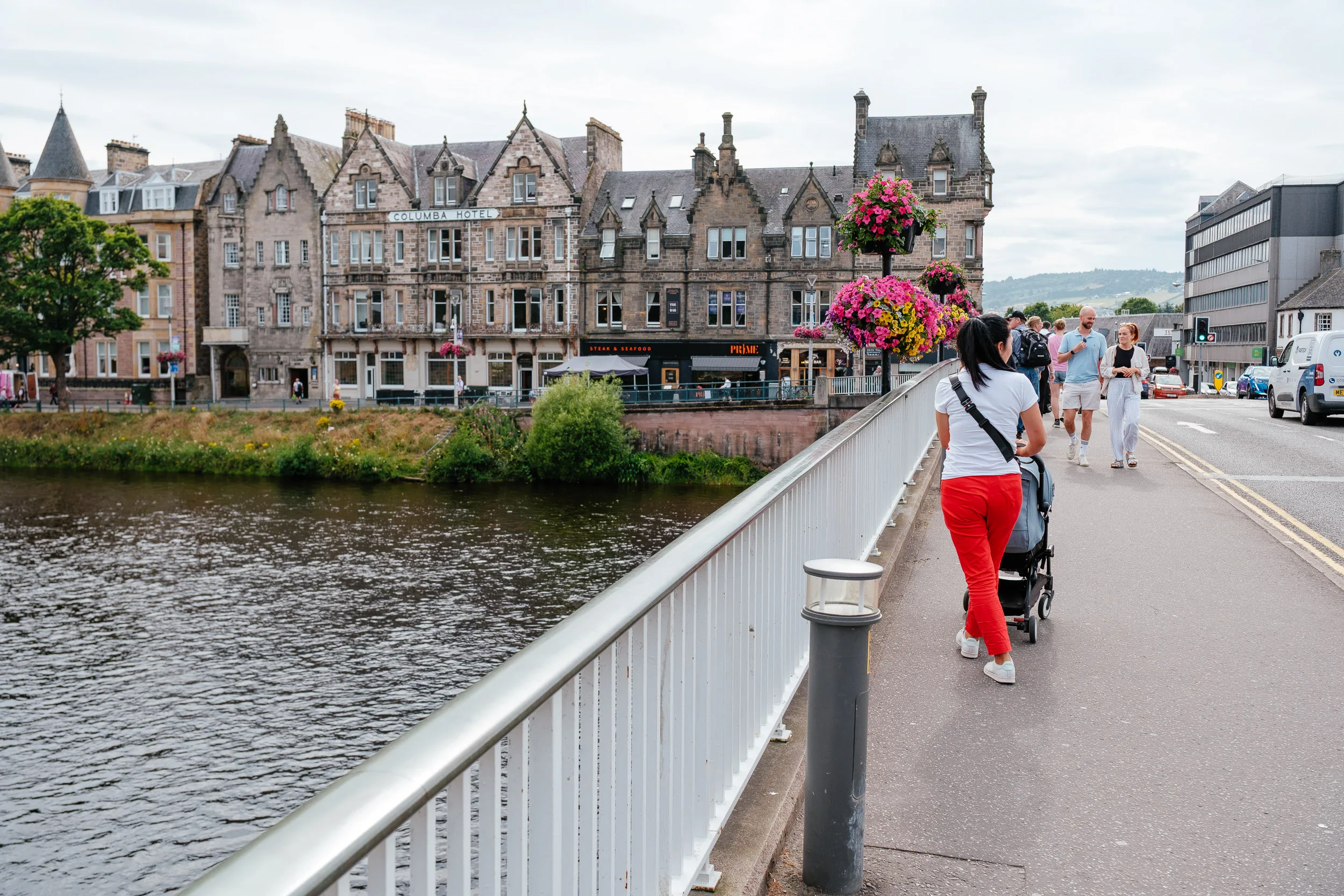
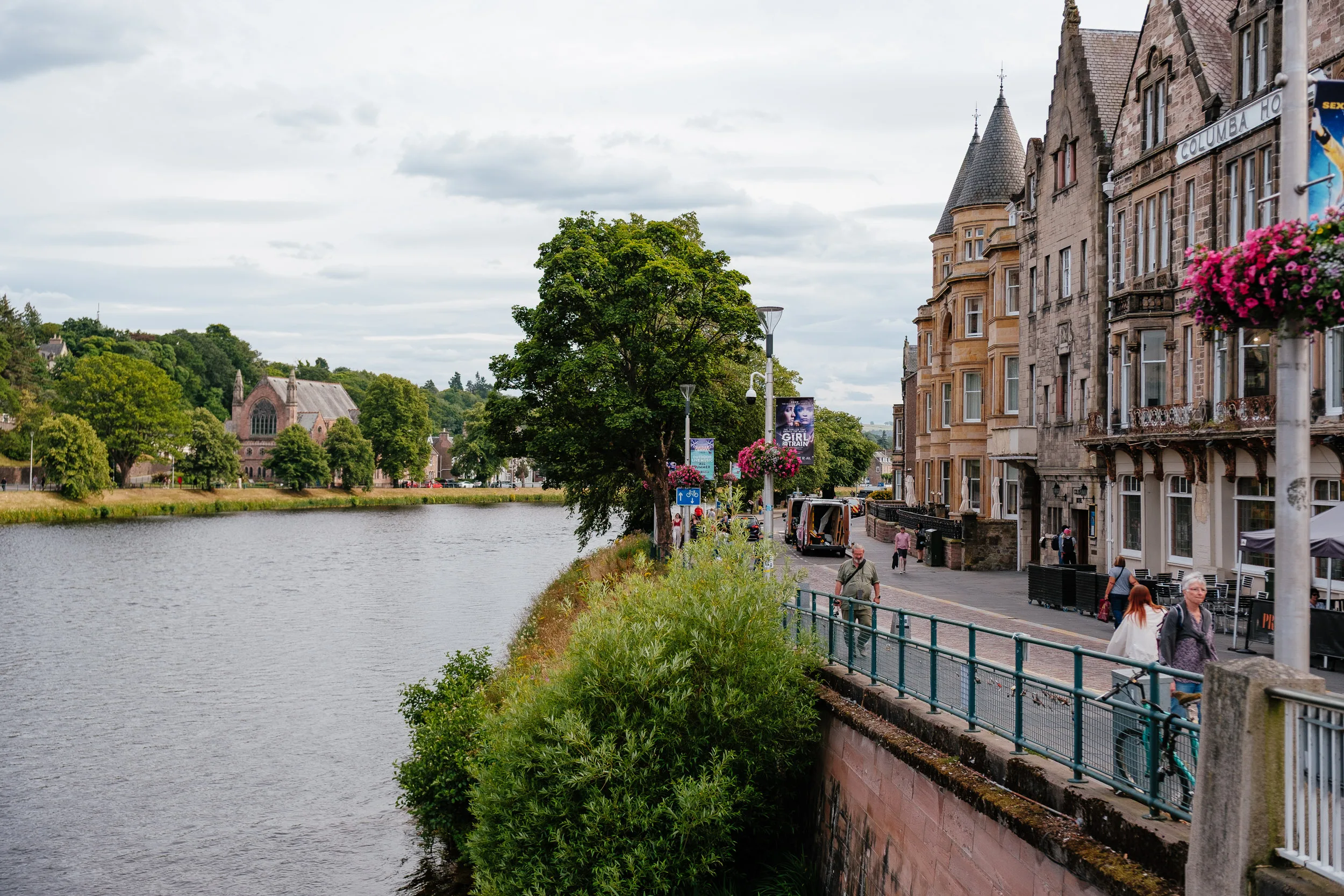
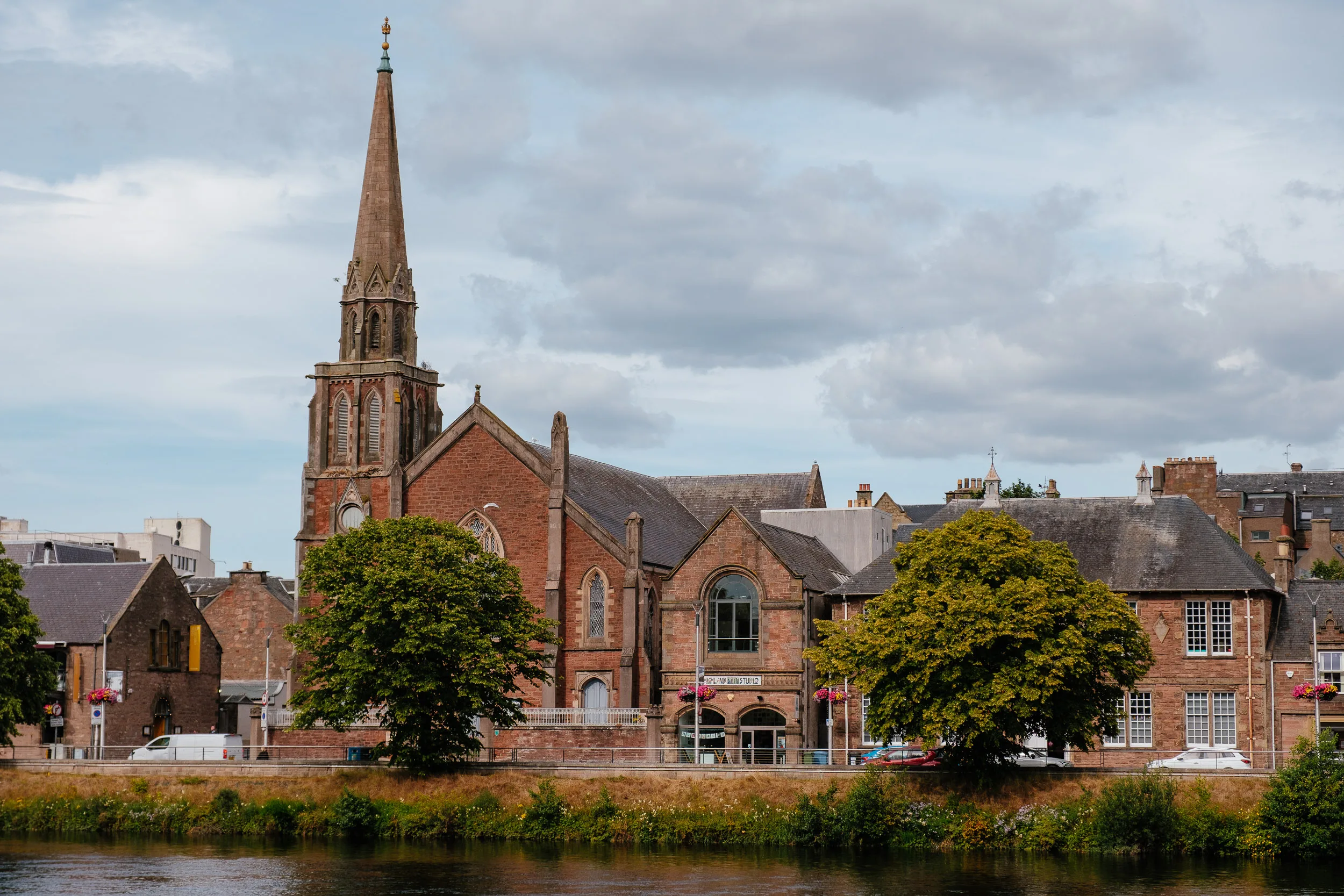
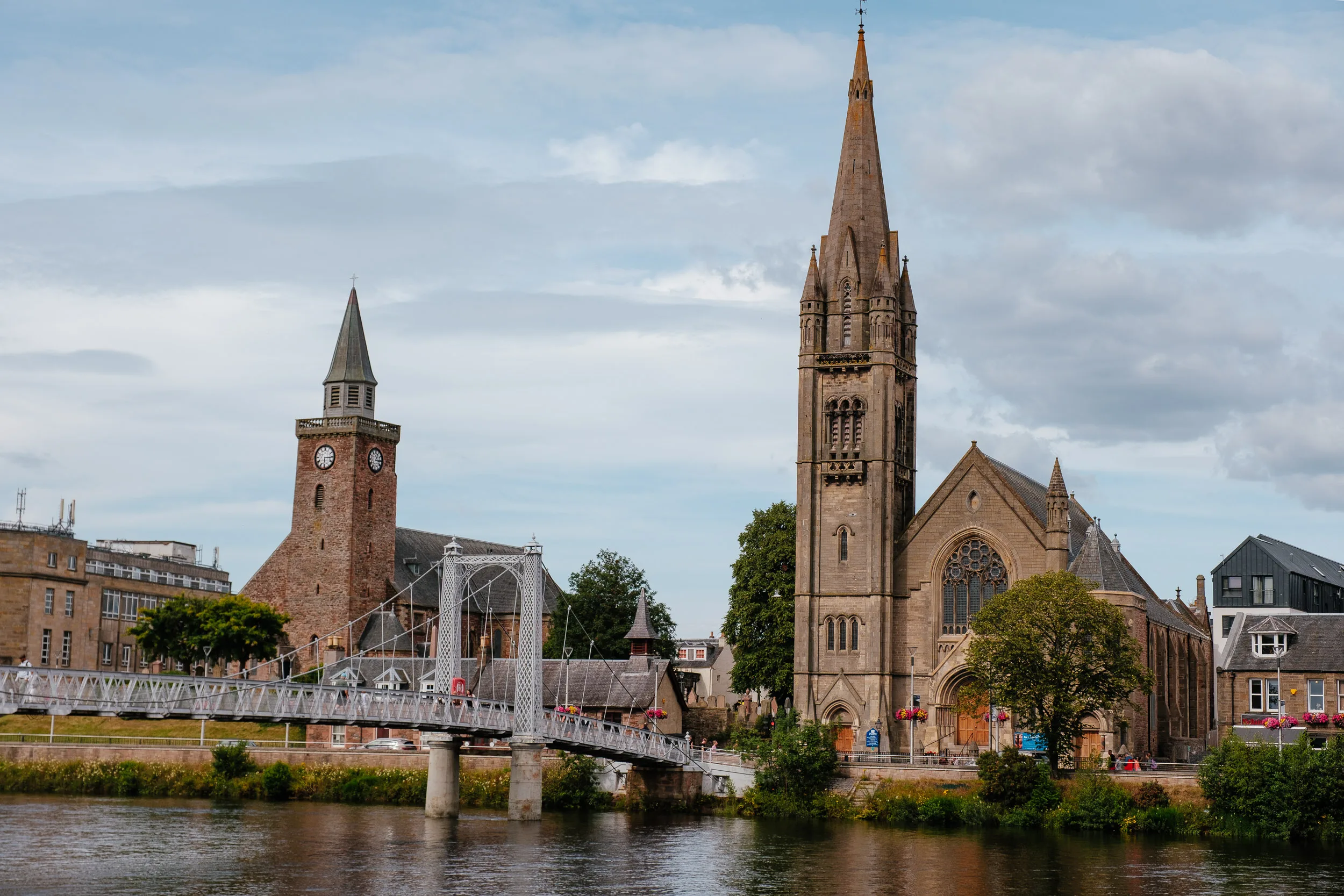
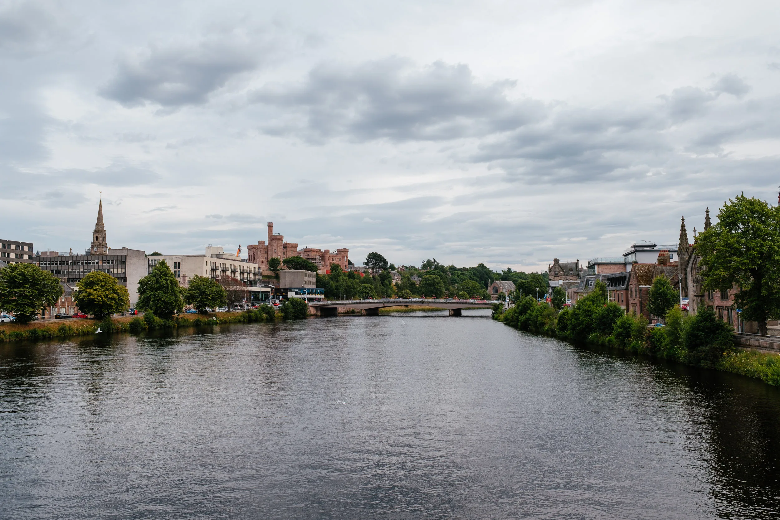
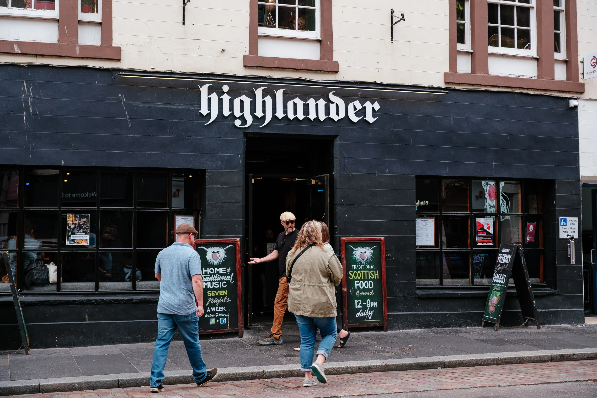
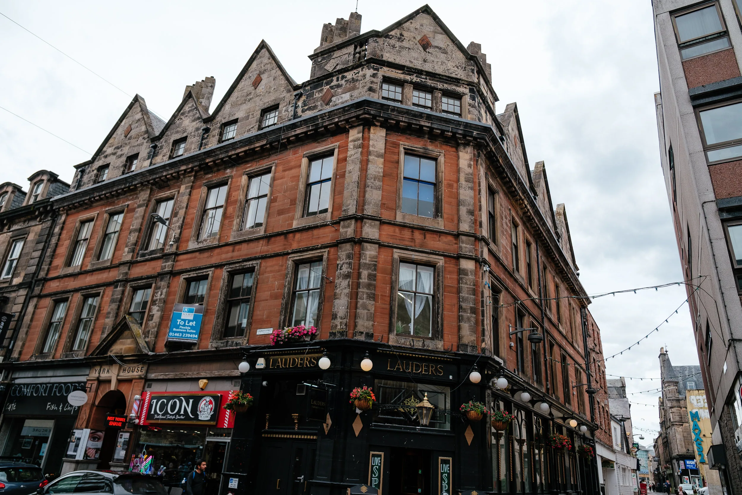
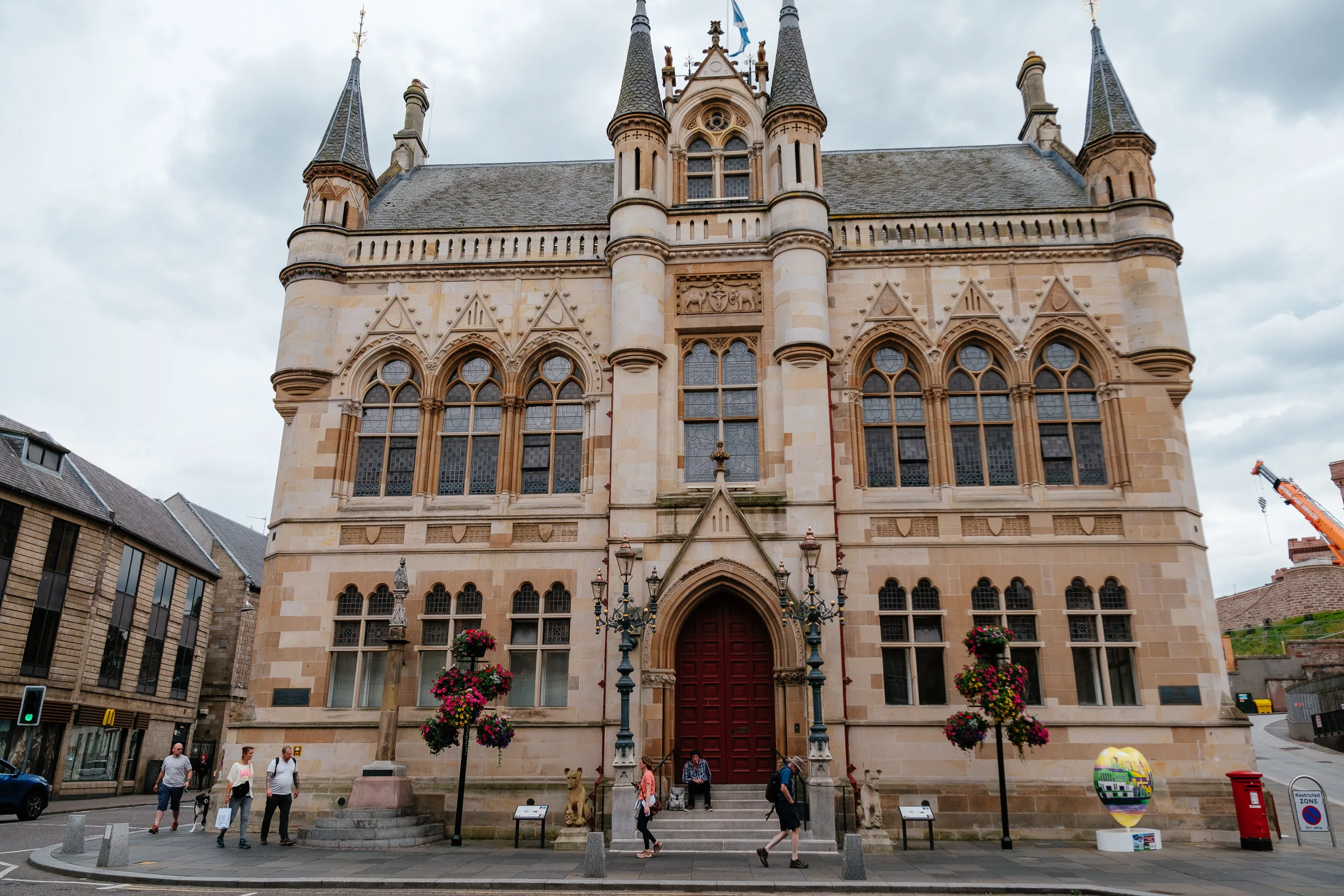
Finally we made it to Inverness, the capital of the Highlands. The Gaelic name is Inbhir Nis which means “mouth of the Ness,” and that’s exactly what it is — a town built where a very short, very forceful river meets the sea.
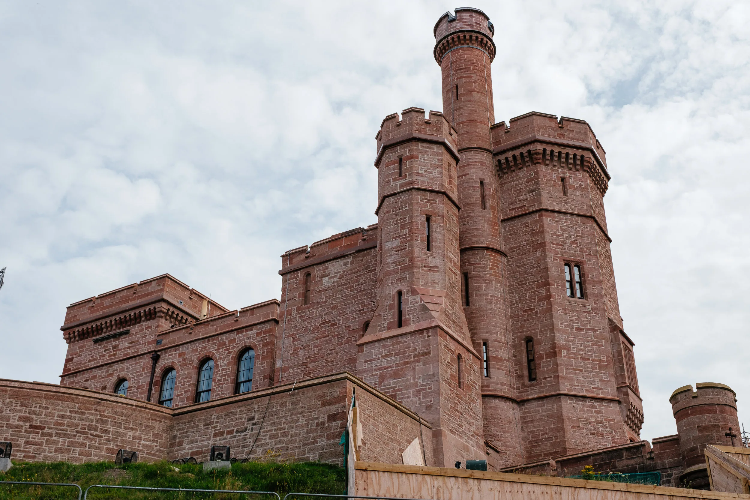
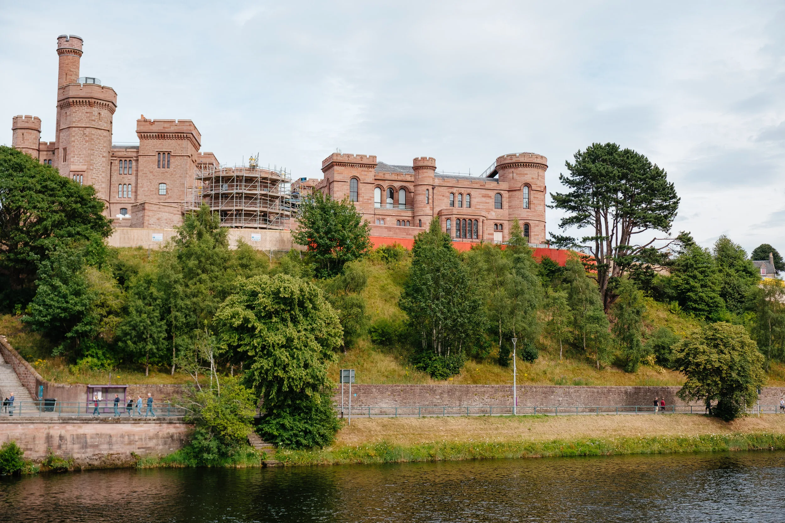
The Castle Wynd in the middle of Inverness has been knocked down and rebuilt more times than almost anywhere else in Scotland. There’s been a fortification on Castle Hill since at least 1057, when Malcolm III is said to have built a timber stronghold there after destroying Macbeth’s actual castle a few miles south. Macbeth’s story was featured in Shakespeare’s famous play. Oliver Cromwell later built a citadel of his own nearer the river mouth in the 1650s, tearing down stone from local churches to do it; it was demolished within a decade, and today only its clock tower survives. The castle that came after was captured by Bonnie Prince Charlie’s army in March 1746, then blown up by government forces the following month after Culloden, so almost nothing there today predates the Jacobite rising. The red sandstone castle on the hill now is a Victorian rebuild, designed by William Burn in 1836, and it’s fronted by a statue of Flora MacDonald gazing out over the valley, the same woman who rowed the fugitive prince over the sea to Skye.
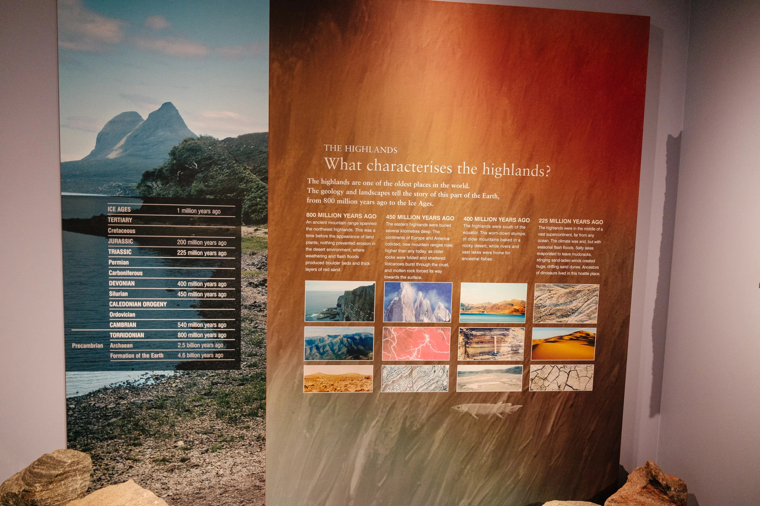
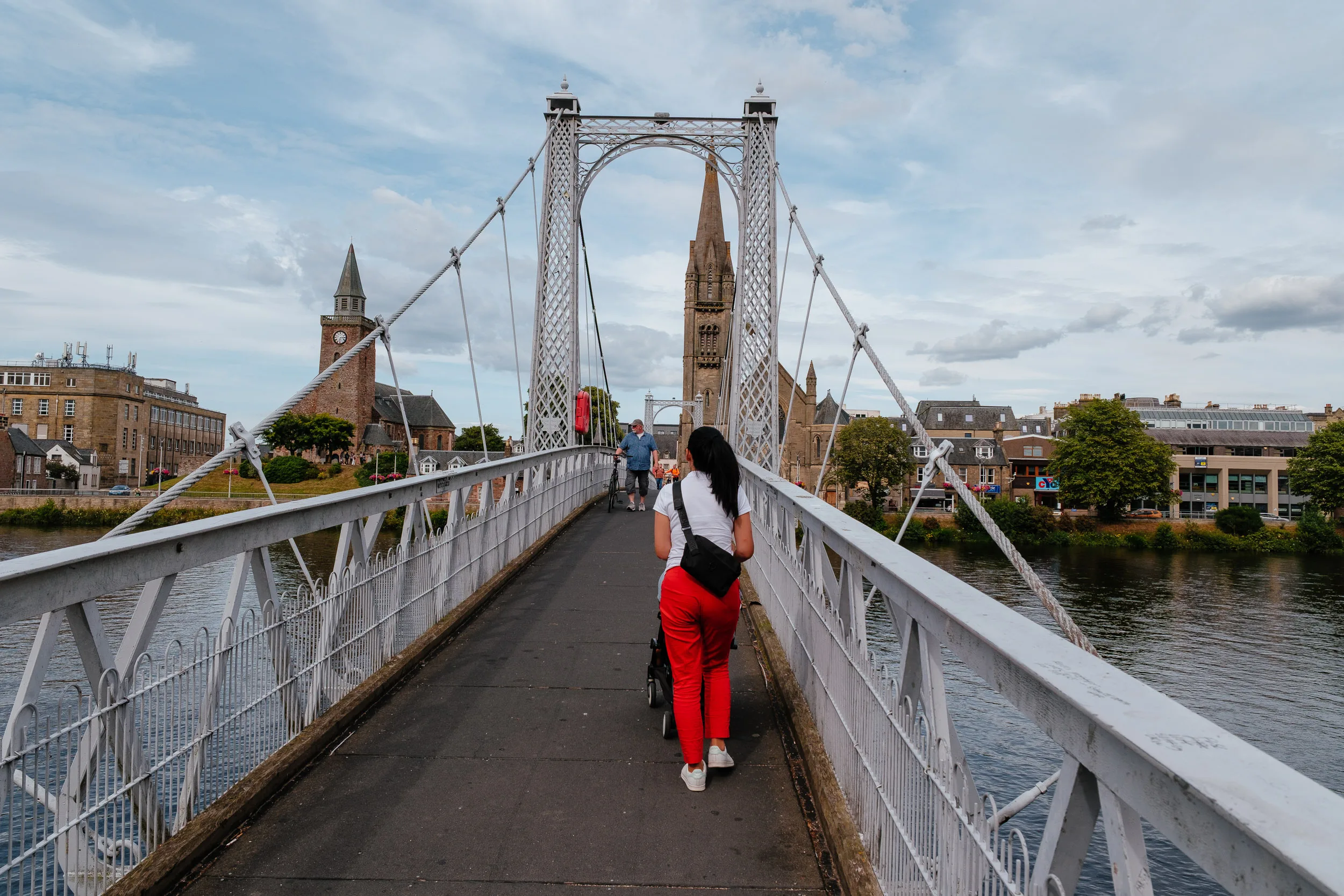
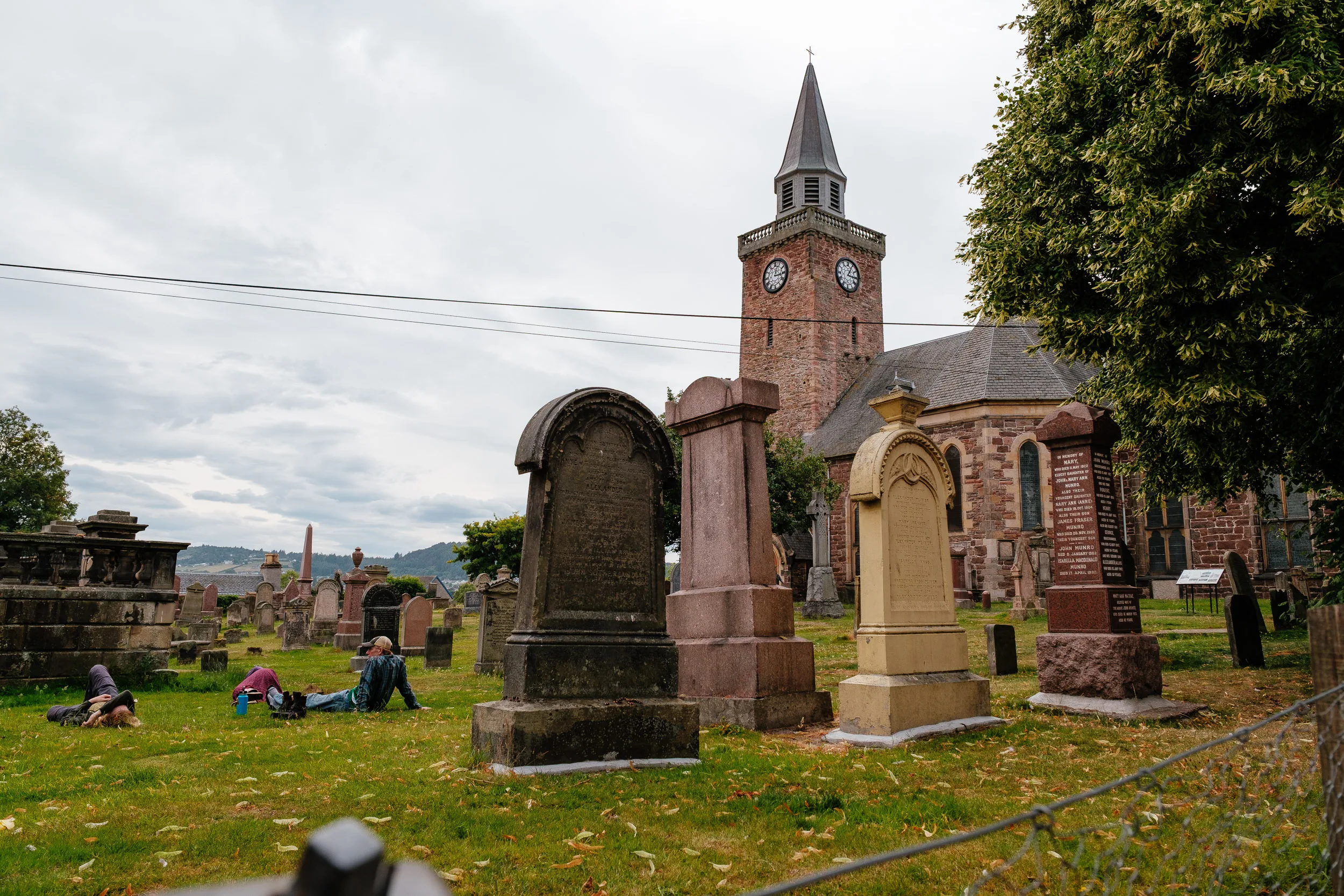
We visited the Inverness Museum and Art Gallery, right next to the castle, and strolled along the river past Inverness Cathedral to where the Caledonian Canal begins its run southwest. Thomas Telford built the canal in the early 1800s to let ships cross Scotland coast to coast without the long, dangerous sail around the north via the Pentland Firth; two-thirds of its length is actually a chain of natural lochs: Ness, Oich and Lochy, sitting in the Great Glen, the same fault line that put Loch Ness there in the first place. It only needed a third of its length dug by hand, which is presumably why it got finished at all.
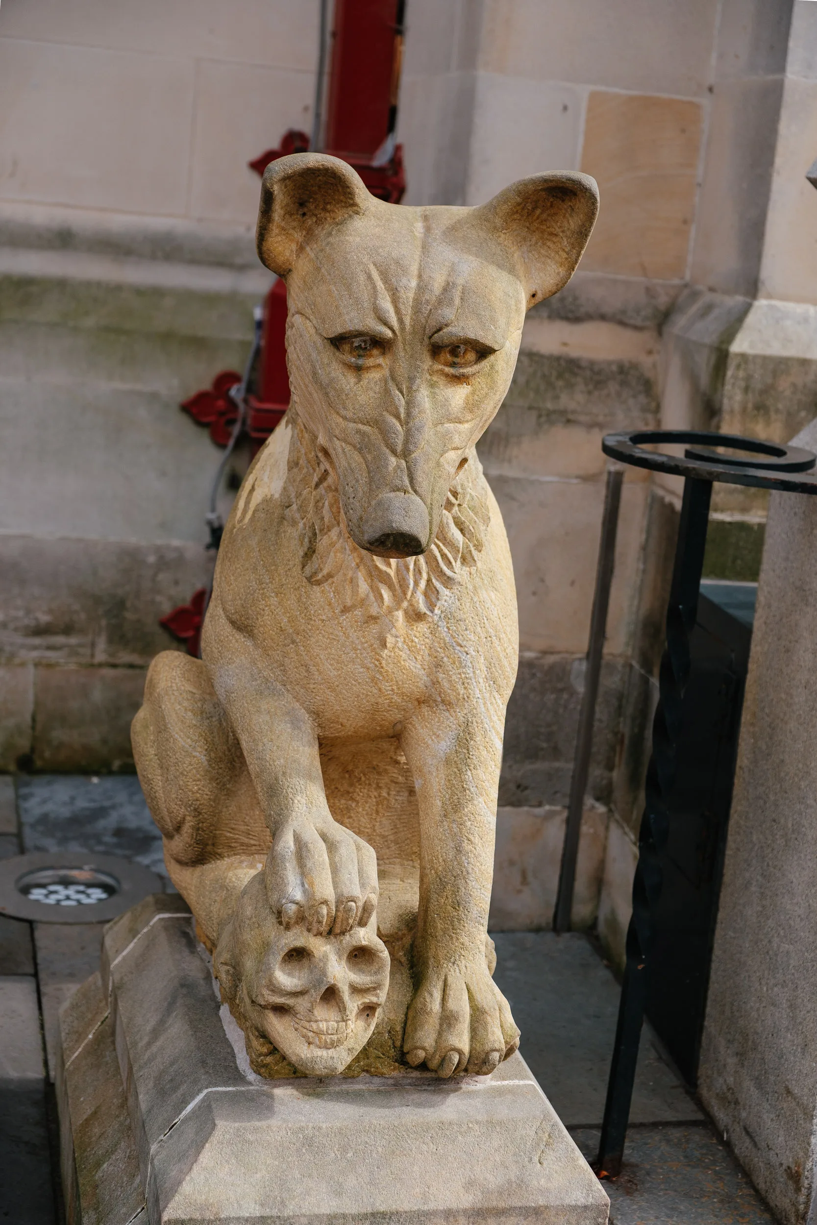
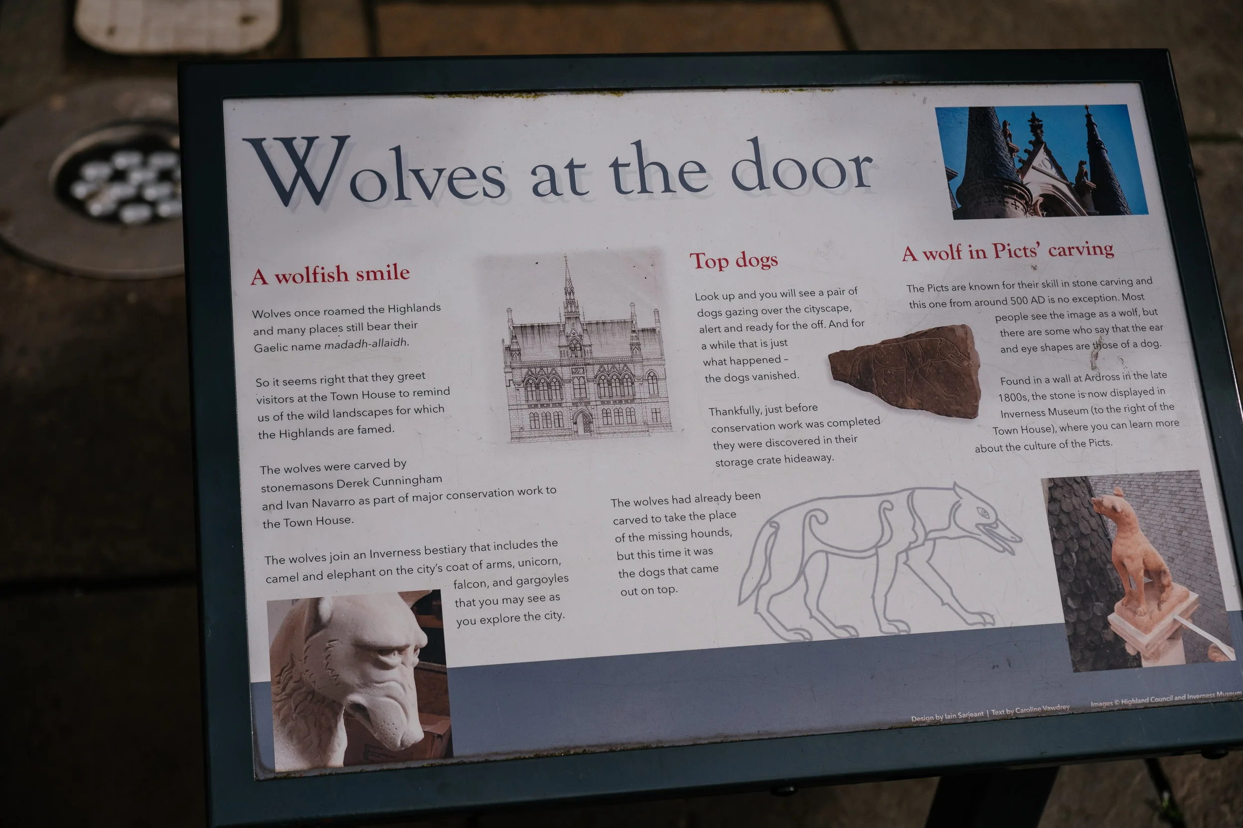
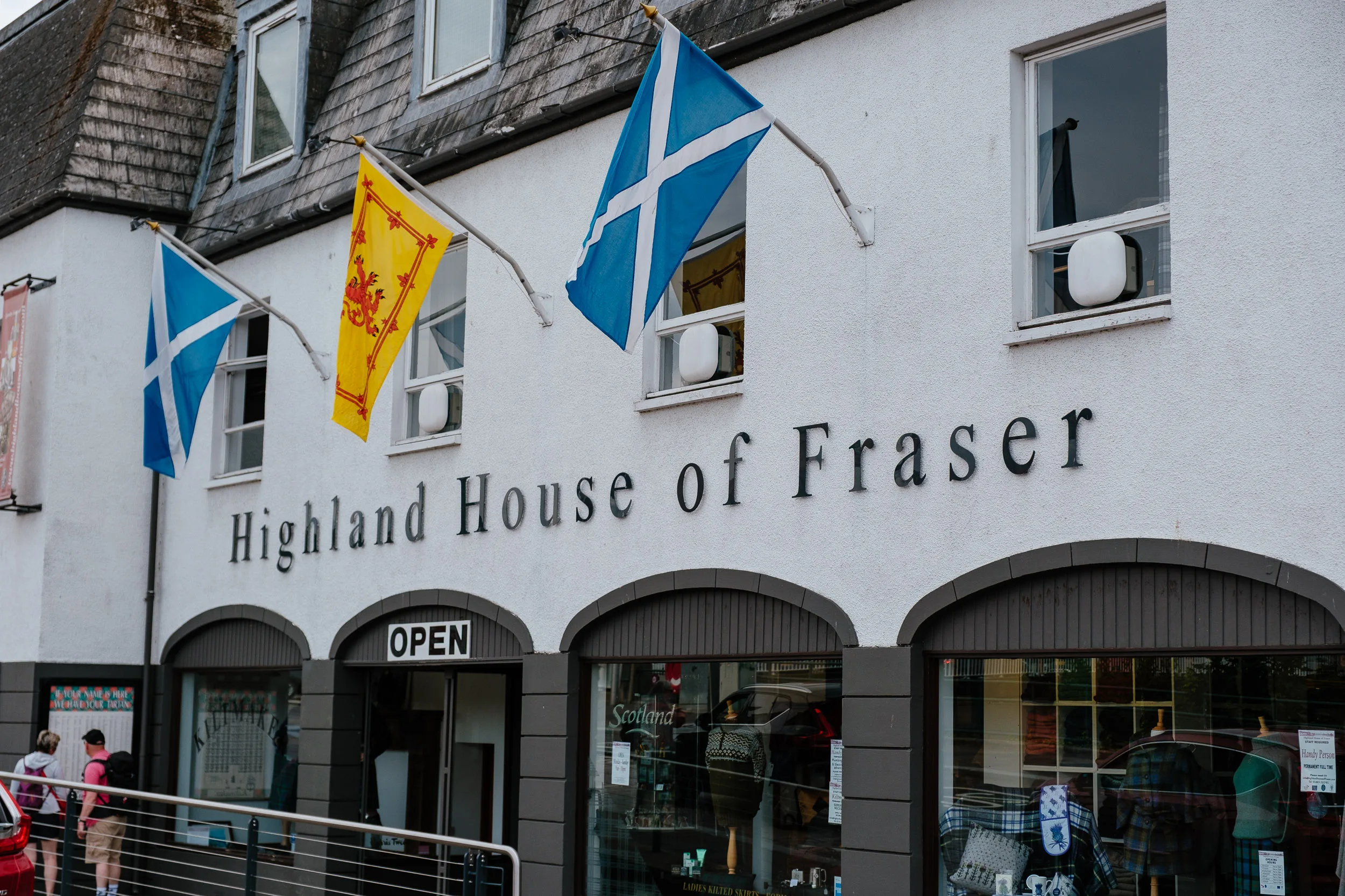
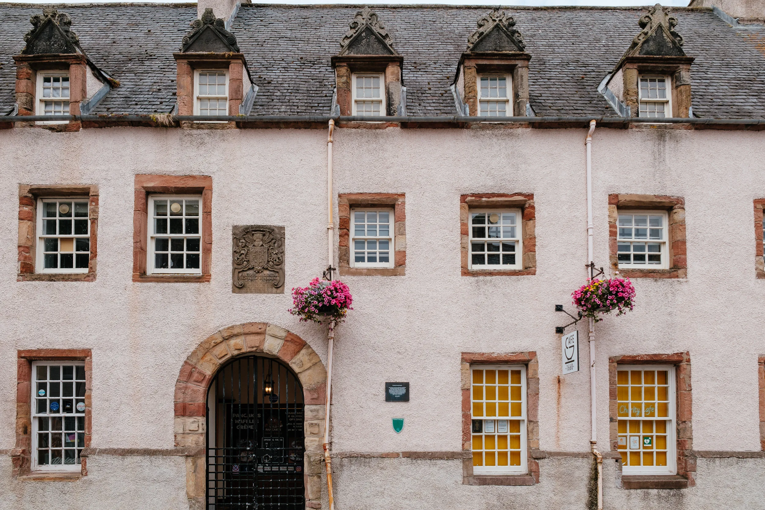
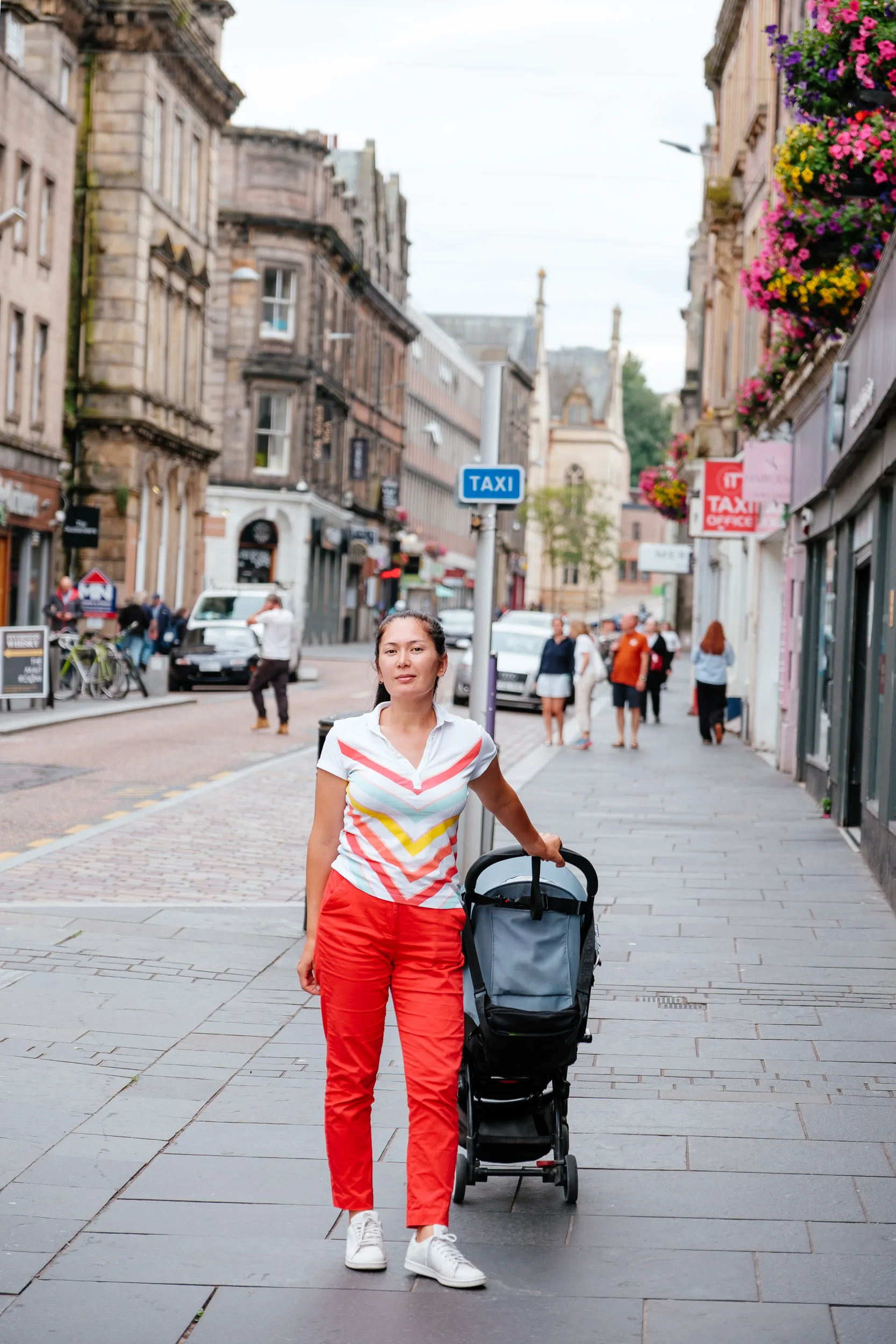
Finally we made it to Inverness, the capital of the Highlights visited the local Museum and Art Gallery at Castle Wynd learning about the history, geography, geology. We strolled around town.
Cairngorms National Park
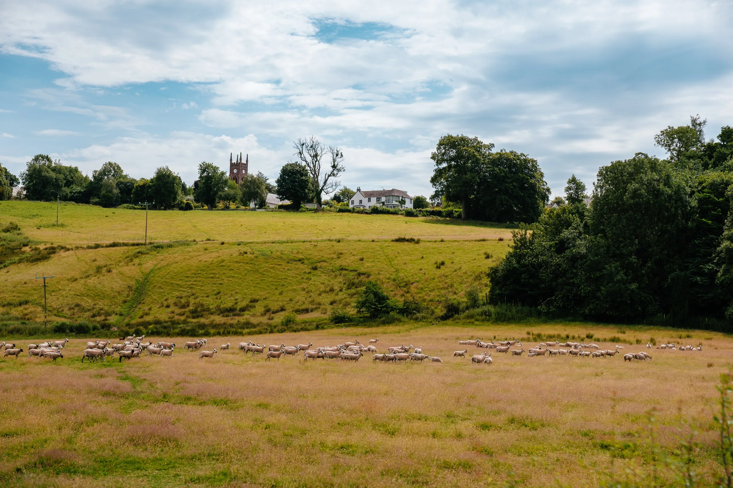
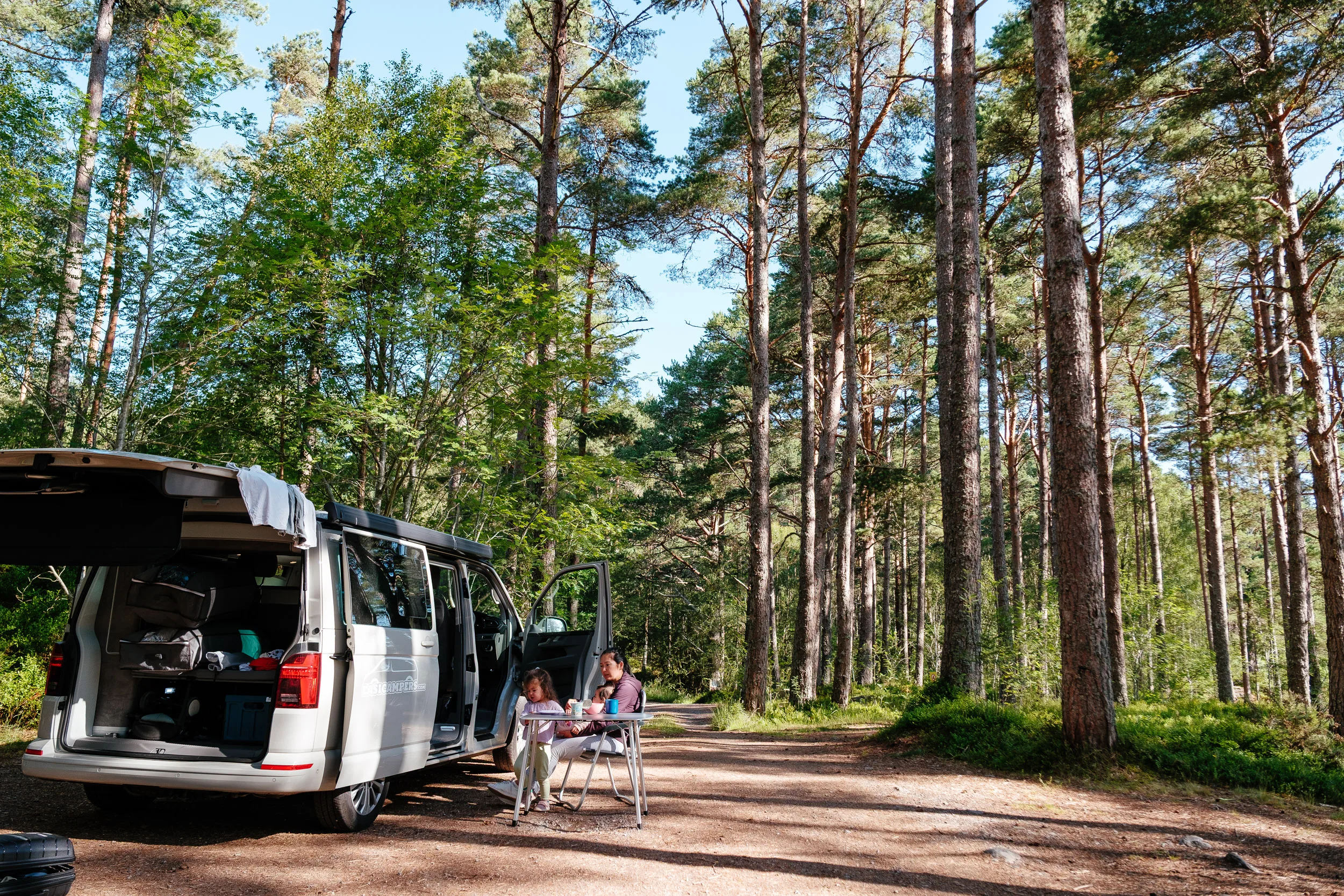
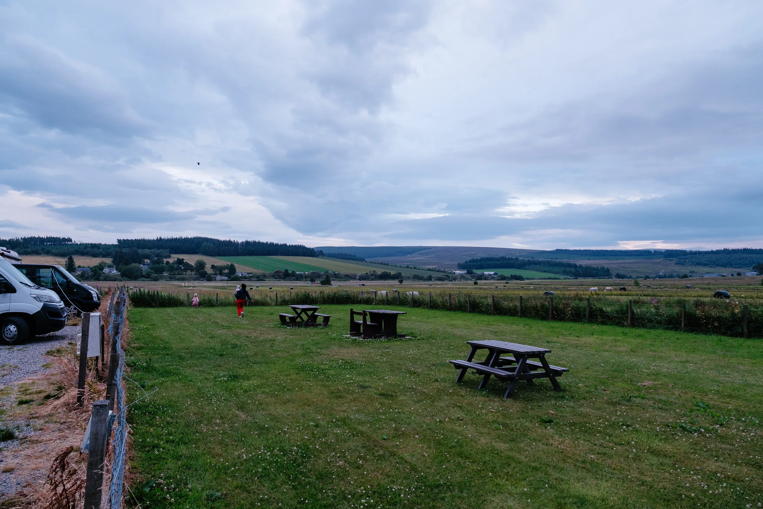
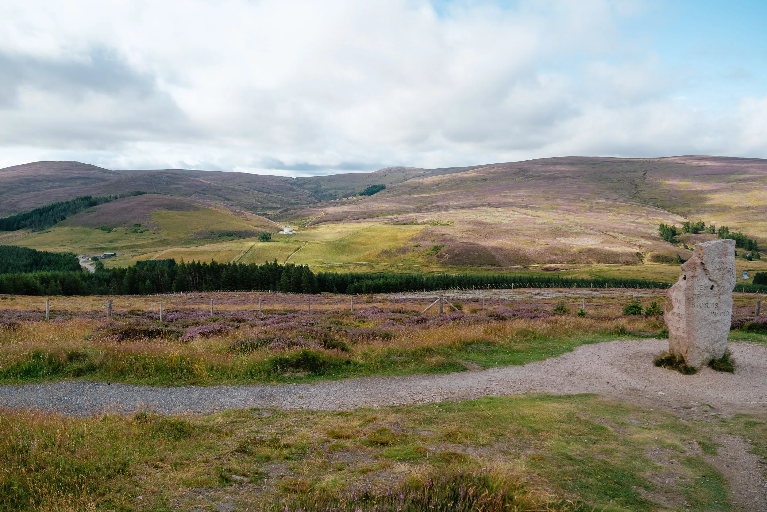
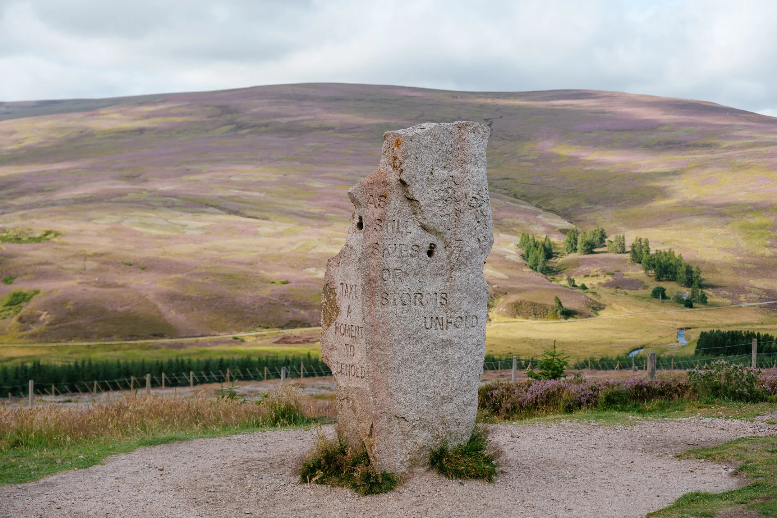
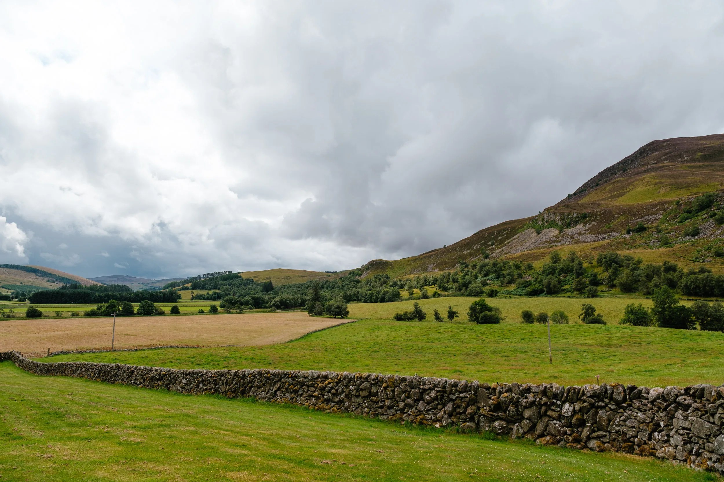
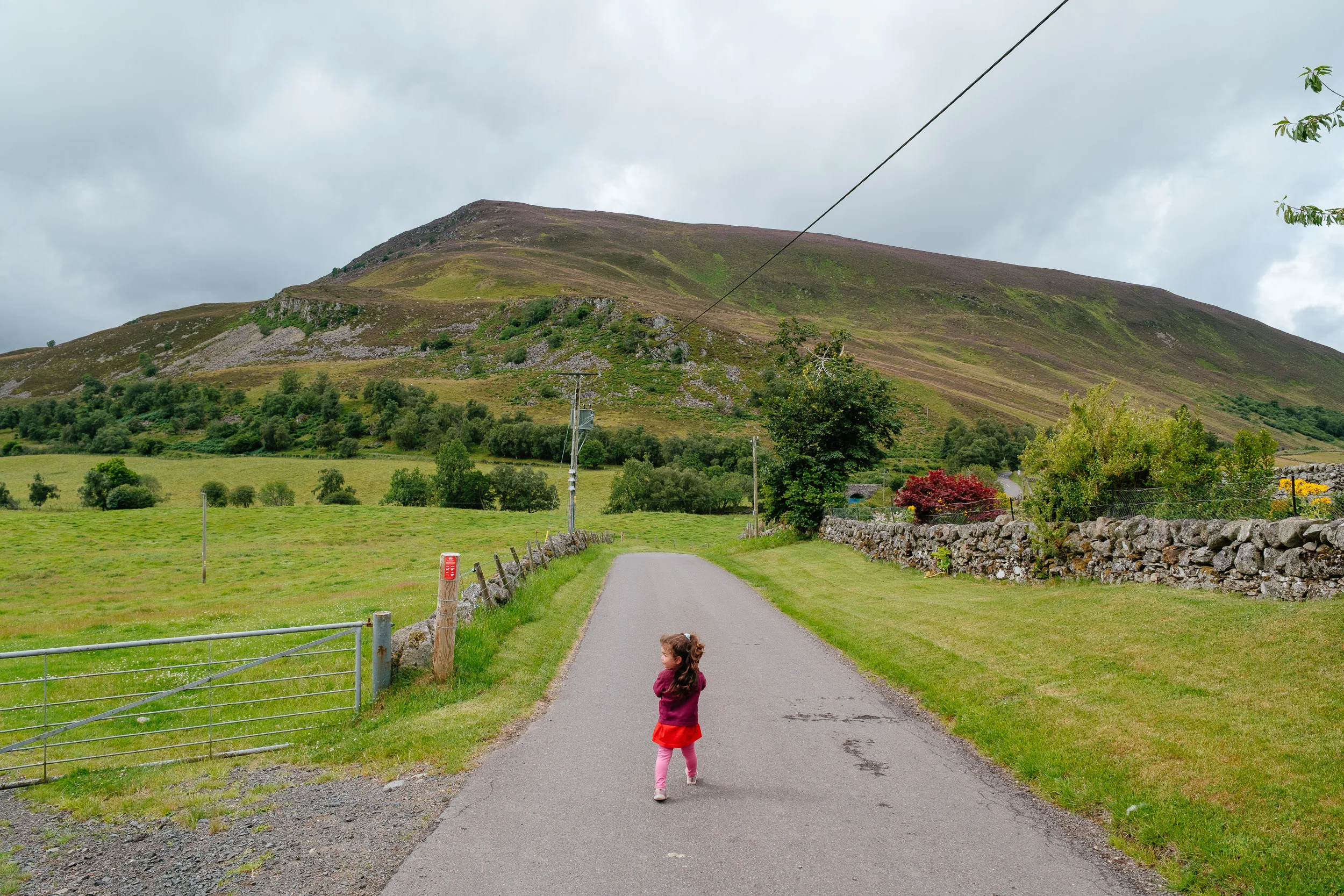
To get back to Edinburgh, we drove through Scotland’s second national park, the Cairngorms, named after the mountain range (in Scottish Gaelic: Pàirc Nàiseanta a’ Mhonaidh Ruaidh). Established in 2003 after Loch Lomond & The Trossachs, it covers 4,528 square kilometres and is the largest national park in the United Kingdom, with around 18,000 people living inside it. A third of it lies above 800 metres, and it holds the largest extent of semi-natural pine forest in the UK. The drive was absolutely gorgeous.
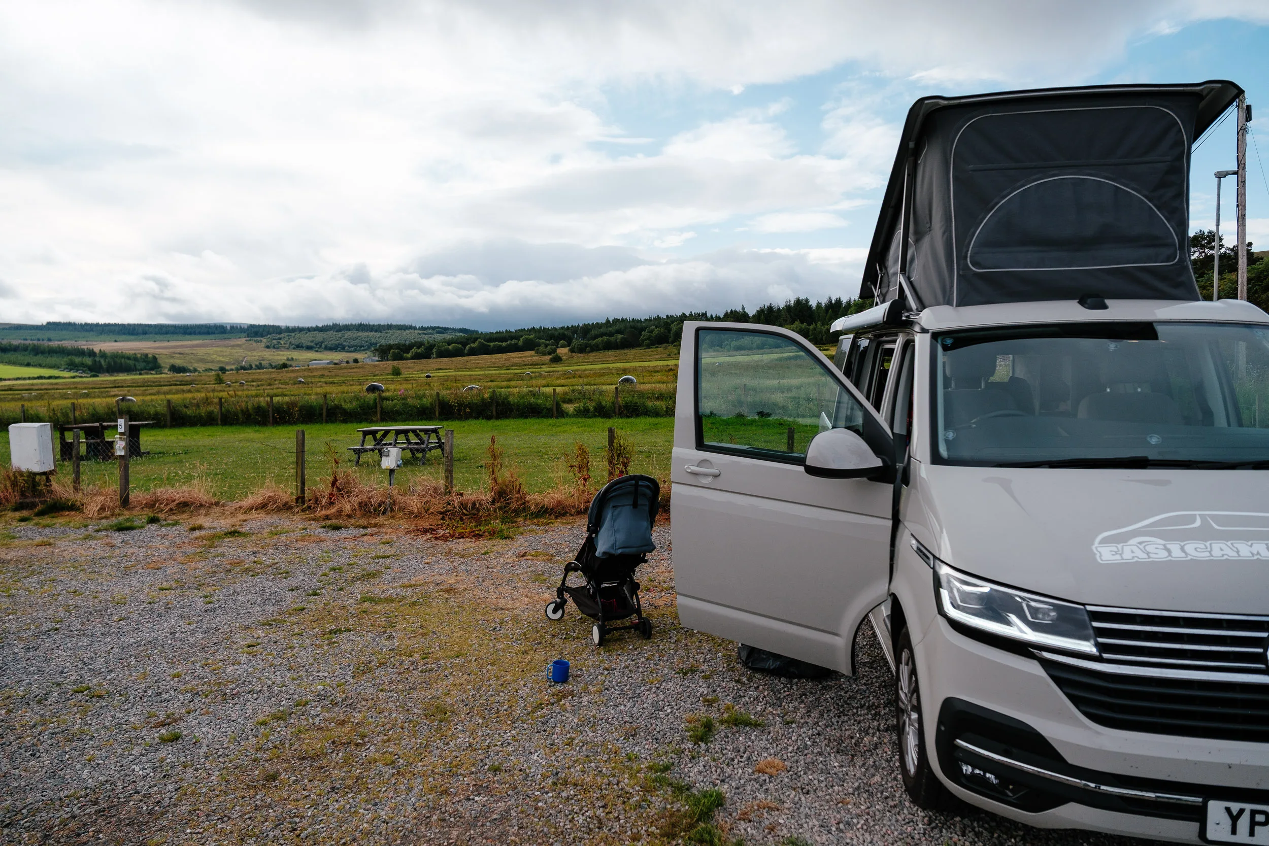
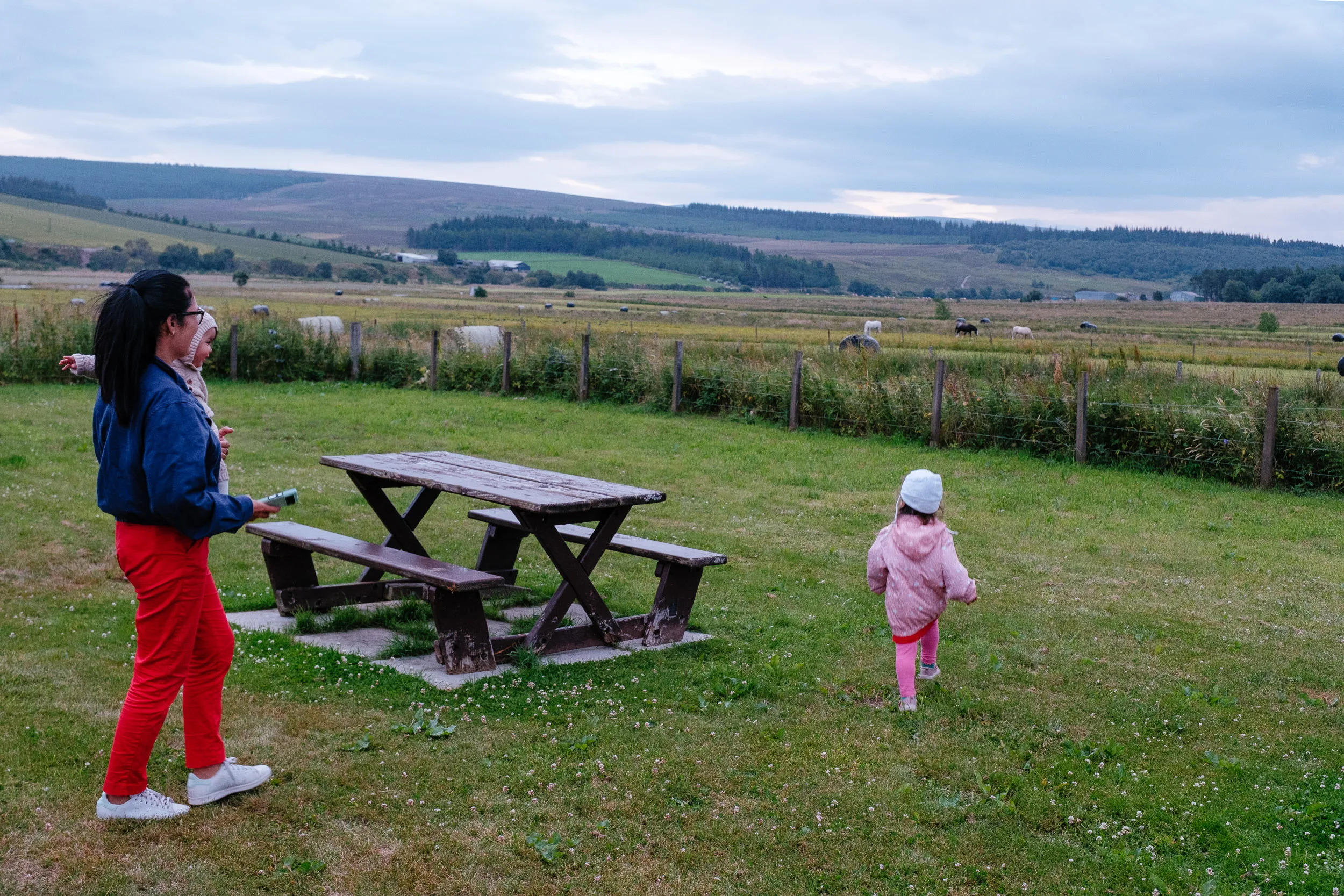
We stopped at a cute campground next to Tomintoul, often called the highest village in the Highlands at 345 metres, built along a military road by the Duke of Gordon, who laid out its wide streets in the hope of discouraging cattle theft and illegal distilling in the area. Given the Scotch whisky distilleries all around, the illegal-distilling part clearly went legitimate rather than away.
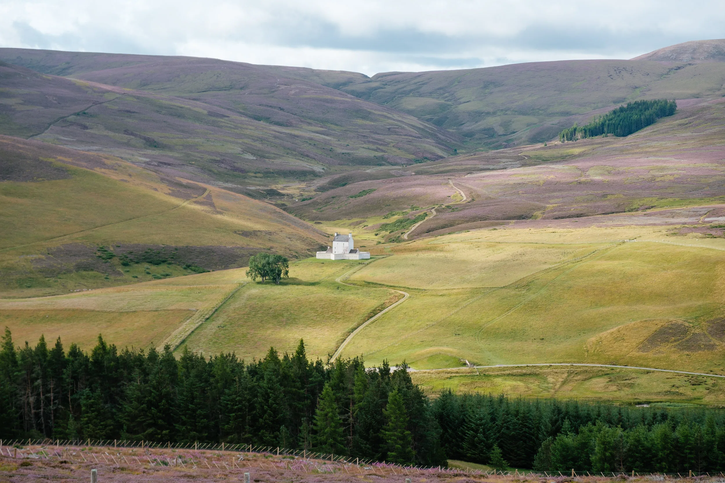
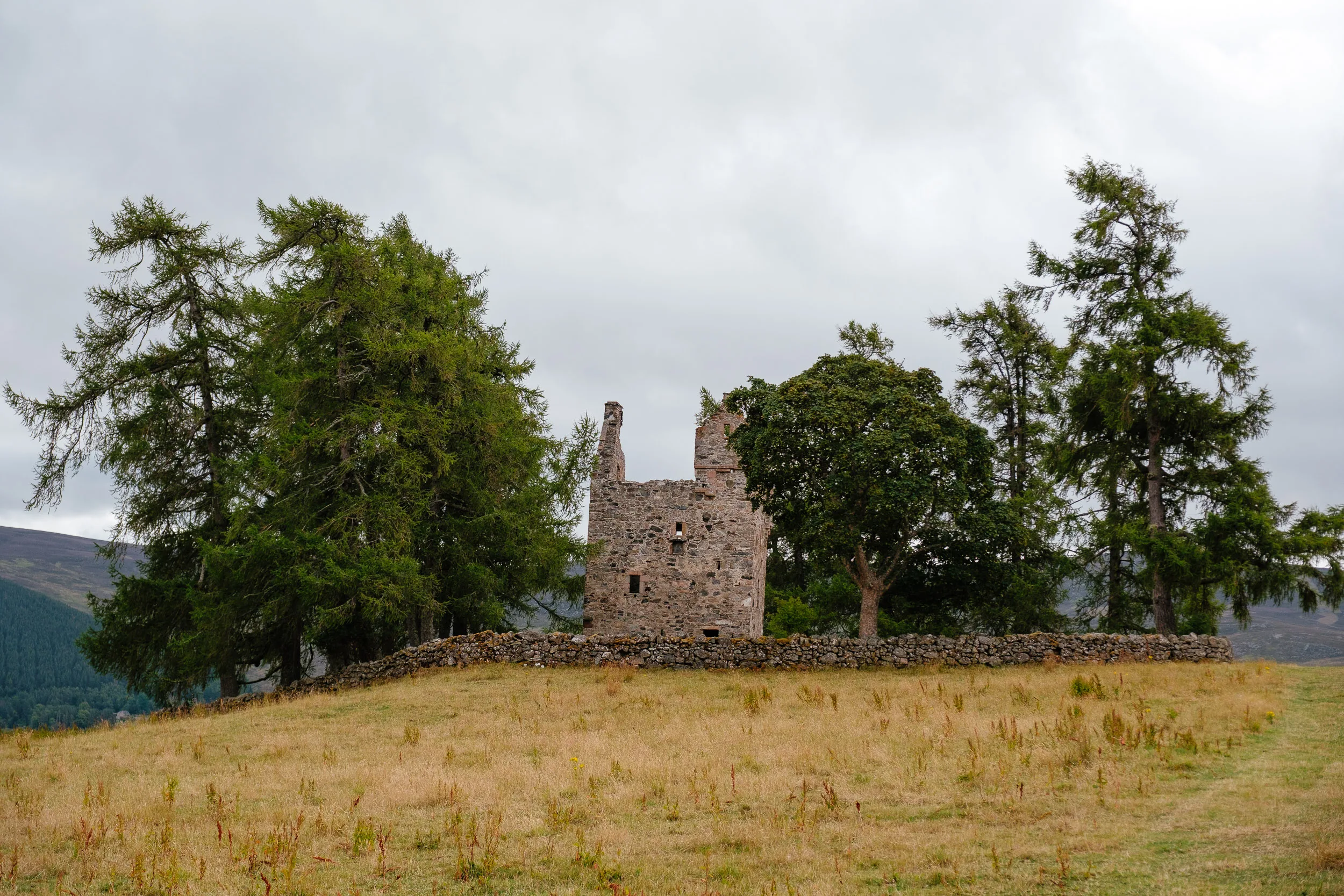
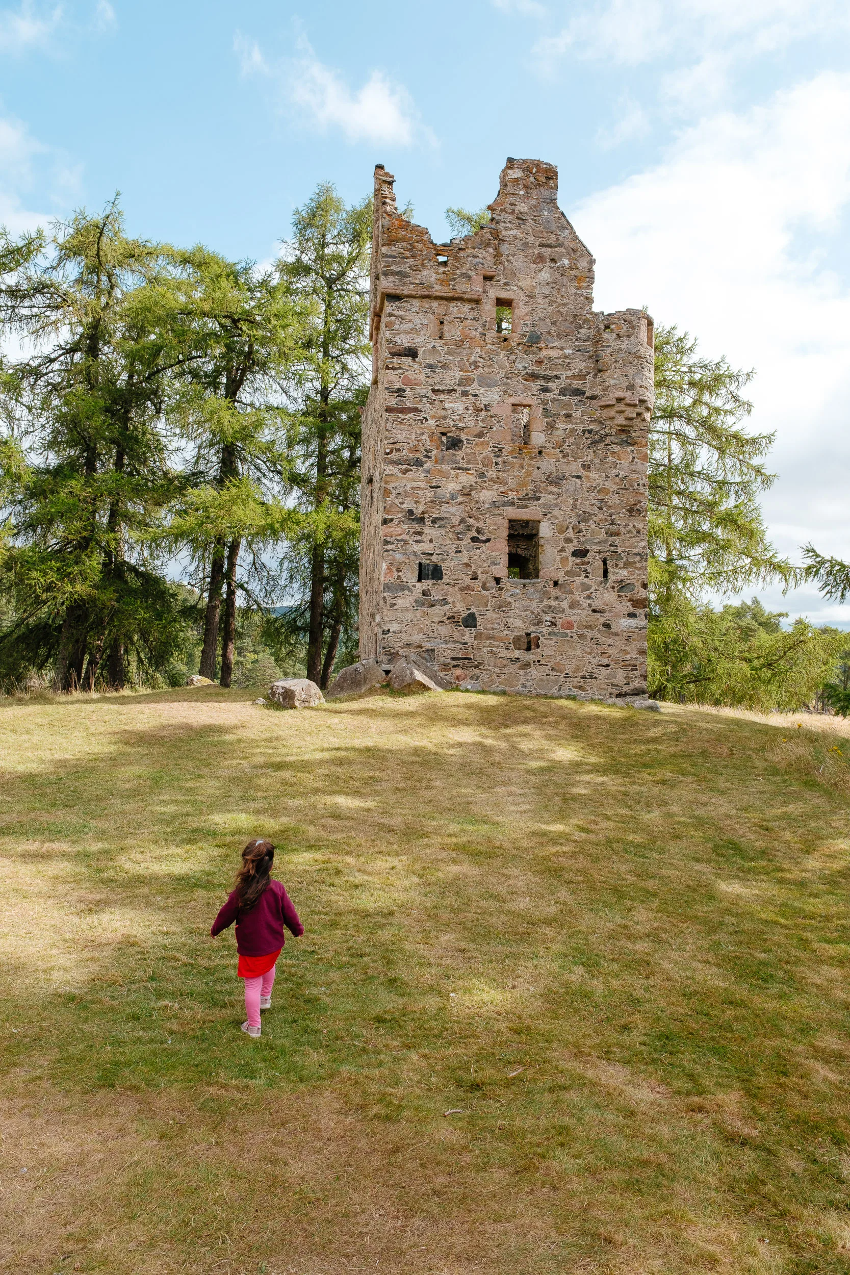
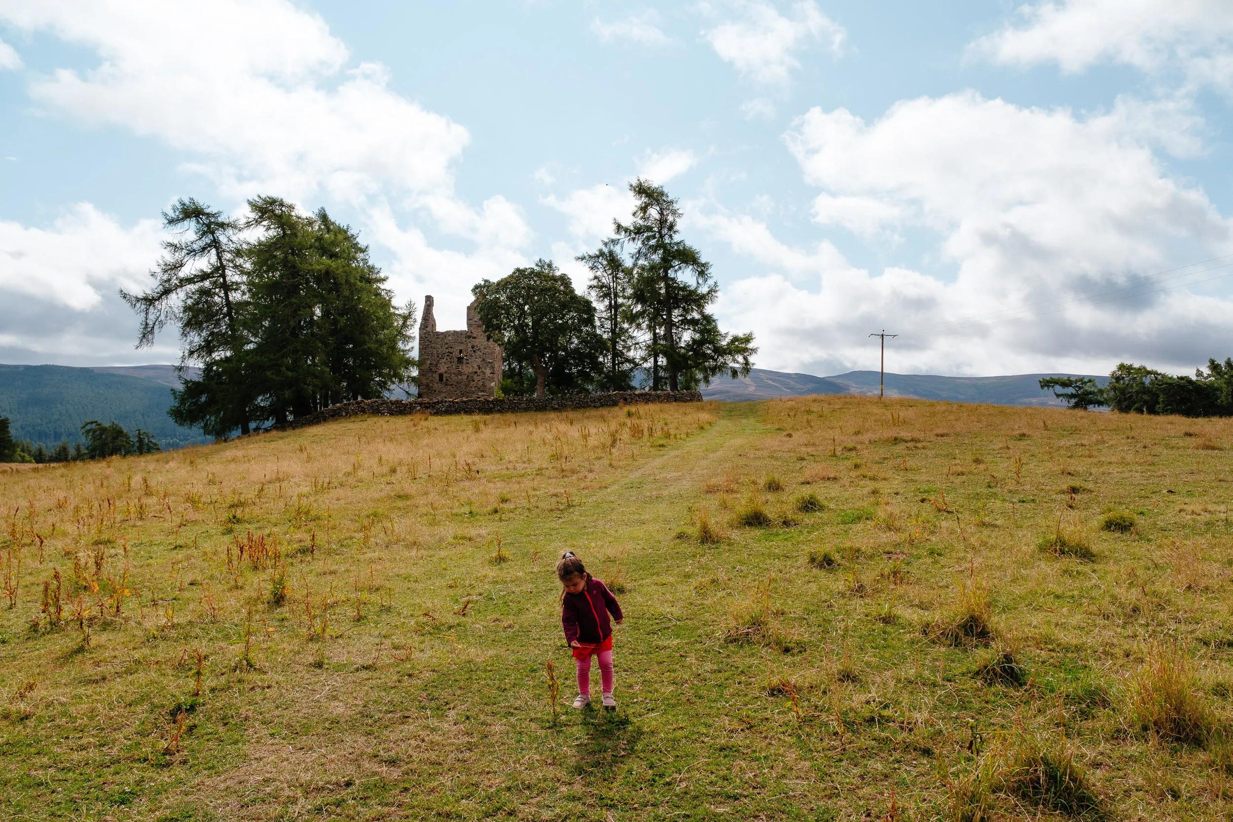
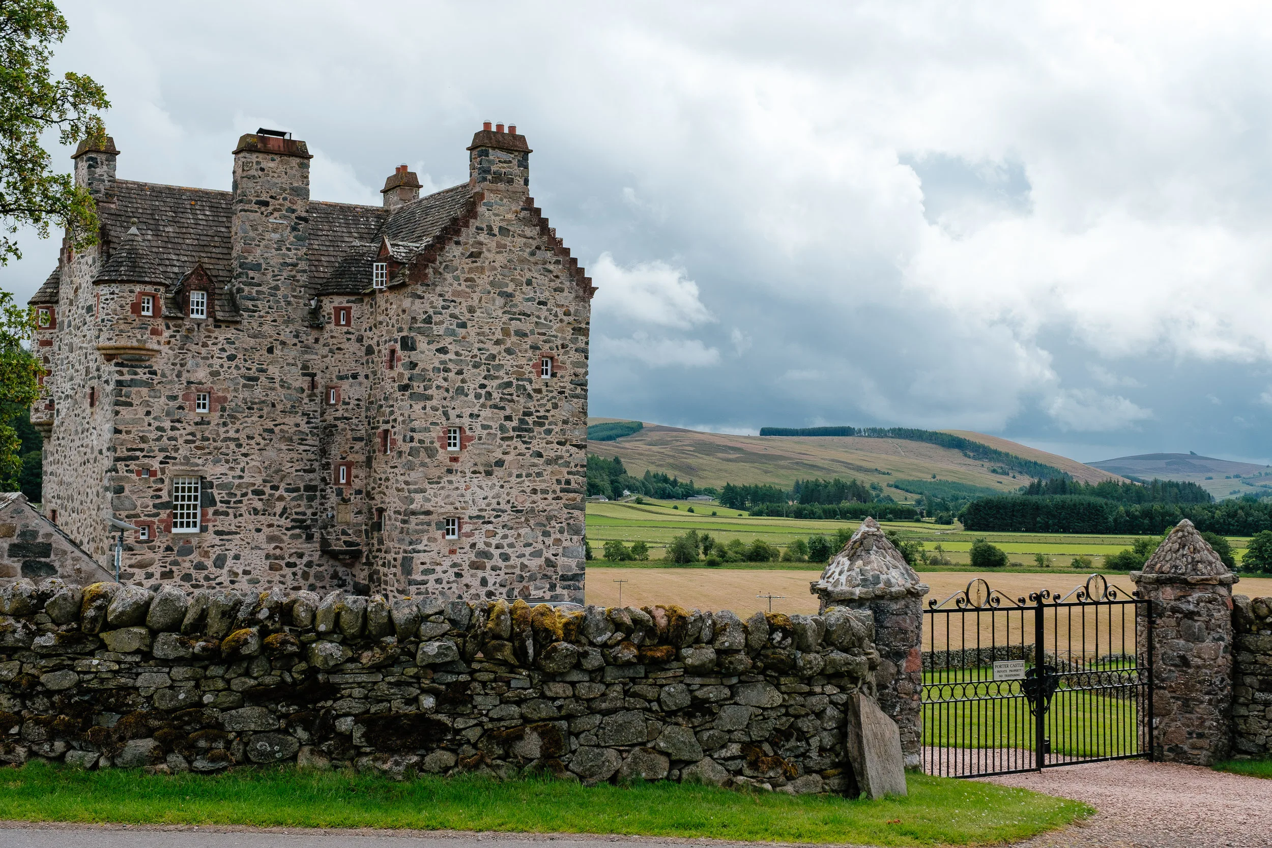
We also checked out lots and lots of castles: Knock Castle, Corgarff and Balmoral.
Corgarff is the odd one out architecturally, a plain 16th-century tower house sitting inside a star-shaped defensive wall. It dates to about 1550; in 1571 the Forbes inhabitants were burned alive by a force of Gordons from Auchindoun; it was occupied by Jacobite supporters in 1745, and after the rising failed it was converted into a military fort with that unusual star-shaped design. Redcoats of Pulteney’s 13th Foot were garrisoned there, and the castle now shows what barrack life was like in the mid-1700s.
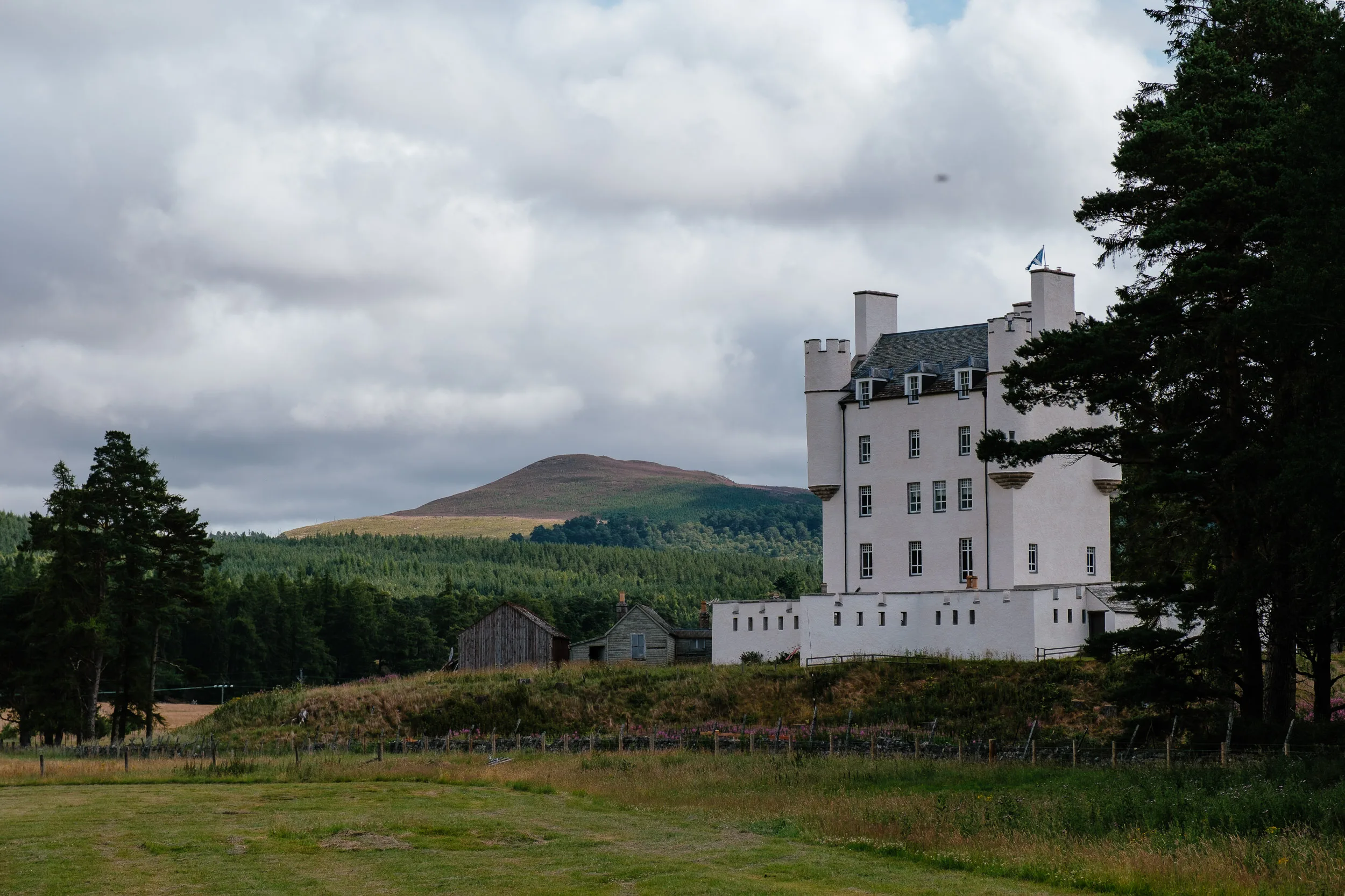
Balmoral is a much later story. Its royal history goes back to 1390, when Robert II built the original castle as a hunting lodge, but it was Queen Victoria who took a liking to the estate; after Prince Albert bought it for her, she laid the foundation stone for the baronial castle the royals still holiday in. Her enthusiasm kicked off a whole wave of Victorian tourism in the region, which is why so many of the surrounding villages look the way they do.
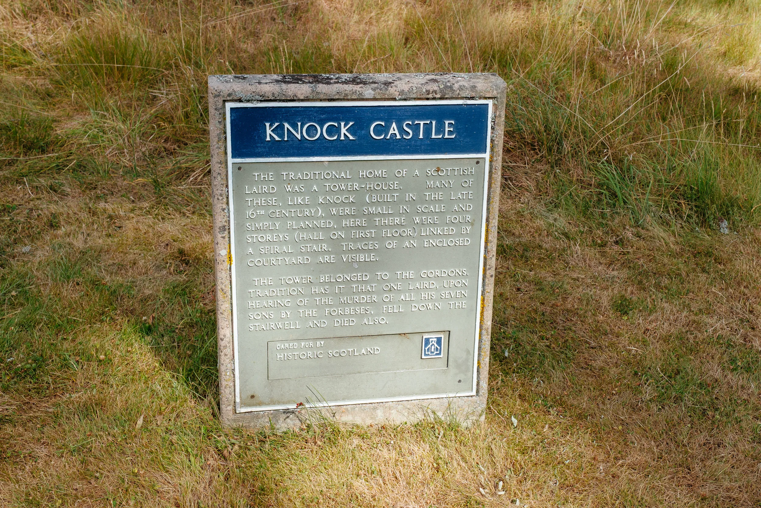
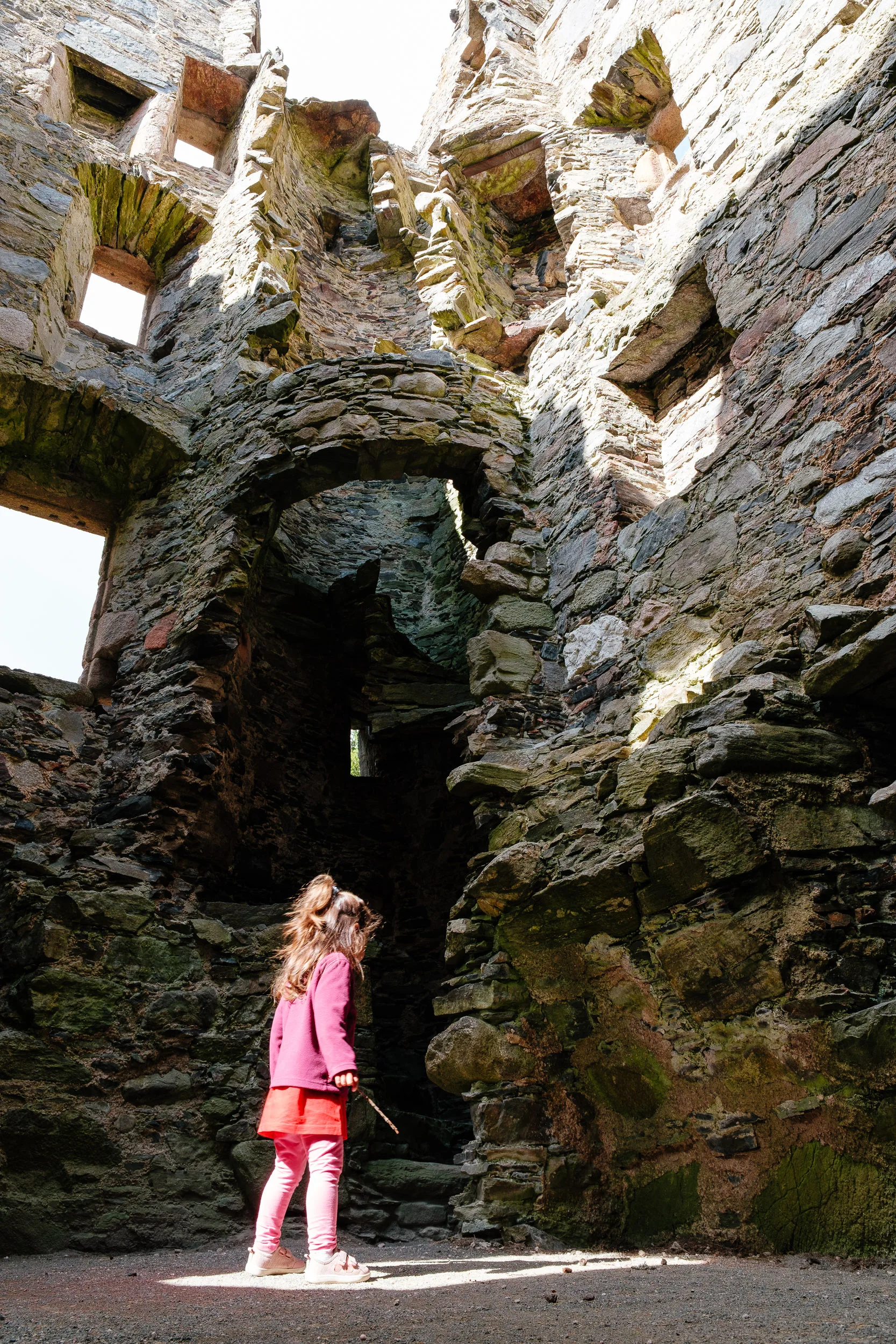
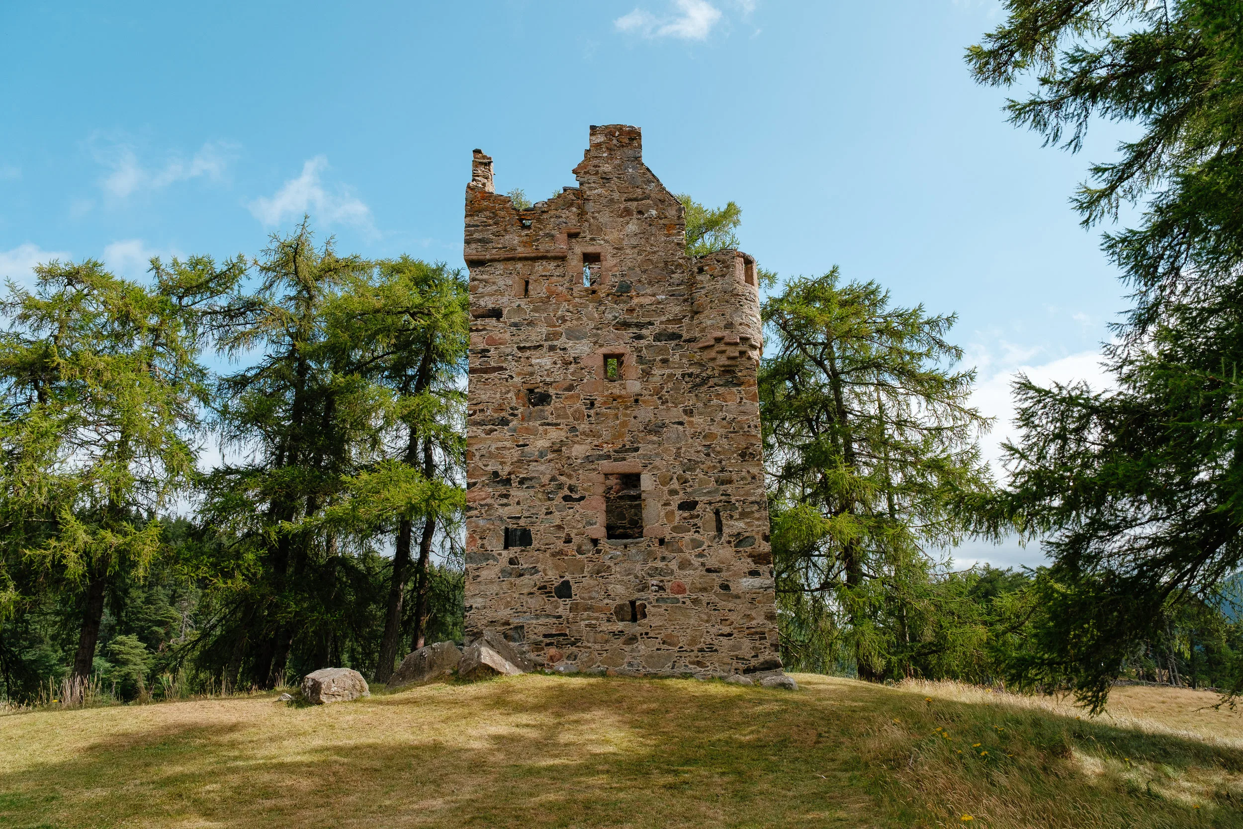
Knock Castle has perhaps the most tragic story of them all. According to Highland tradition, Alexander Gordon, the Laird of Knock, sent his seven sons out to cut peat for the winter. The young men accidentally strayed onto Clan Forbes land. The Forbes party discovered them, attacked and killed all seven brothers. On hearing that his sons had been murdered, Alexander Gordon collapsed at the top of the stone turnpike staircase and tumbled down to his death. Given what happened at Corgarff a few miles away, the Gordon–Forbes feud was clearly no small thing.
Scotland was quite the adventure. We travelled for about eight days and could easily have spent much longer, between the dramatic wild landscapes, a deep history full of rebellion, twists and turns, and a place that has had a global influence on the world.
Thanks for reading, if you made it this far!